Search results: “mapping”
Showing 1–24 of 65 results
-

Trimble MX60 Mobile Mapping System
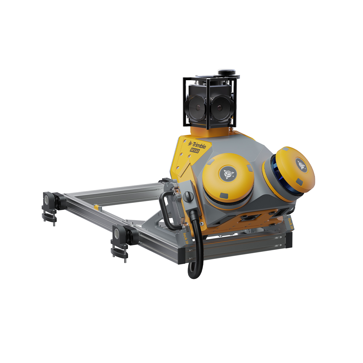

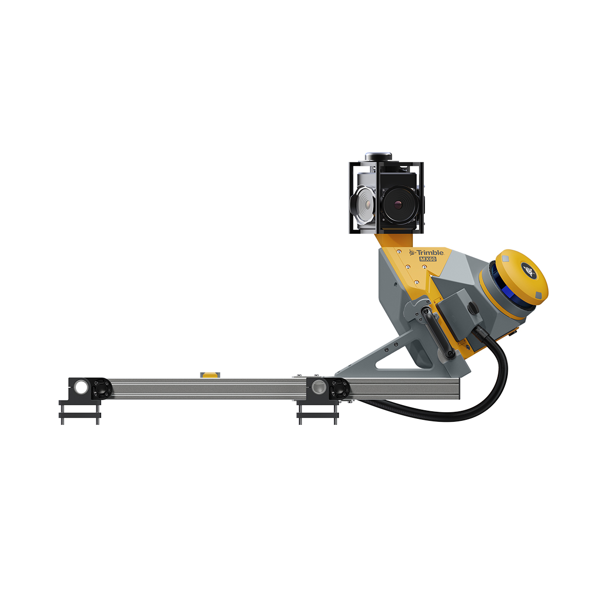
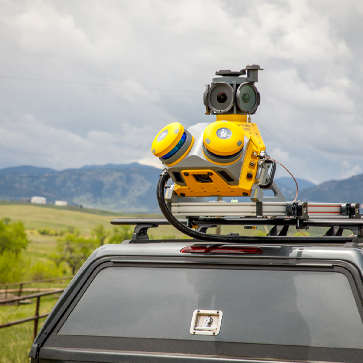

Trimble MX60 Mobile Mapping System
Call to OrderFrontier Precision is currently adding items to the Shop, so please contact us at 800-359-3703 to order or for more information on this item.Quick View -

Radiodetection 10/MRXSG-US-KIT MRX SG Survey Grade Locator
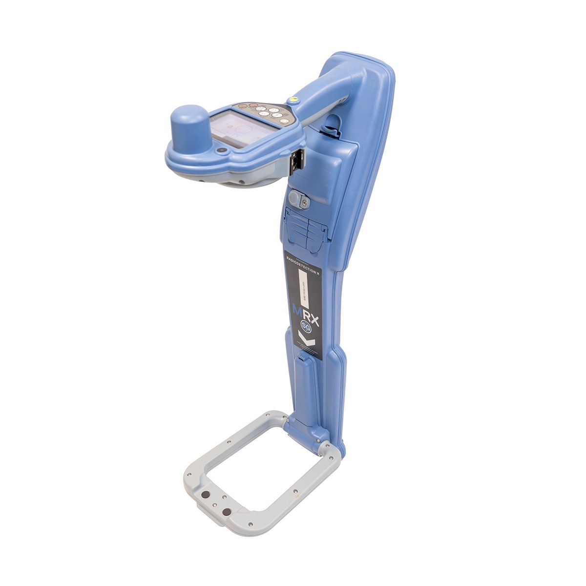
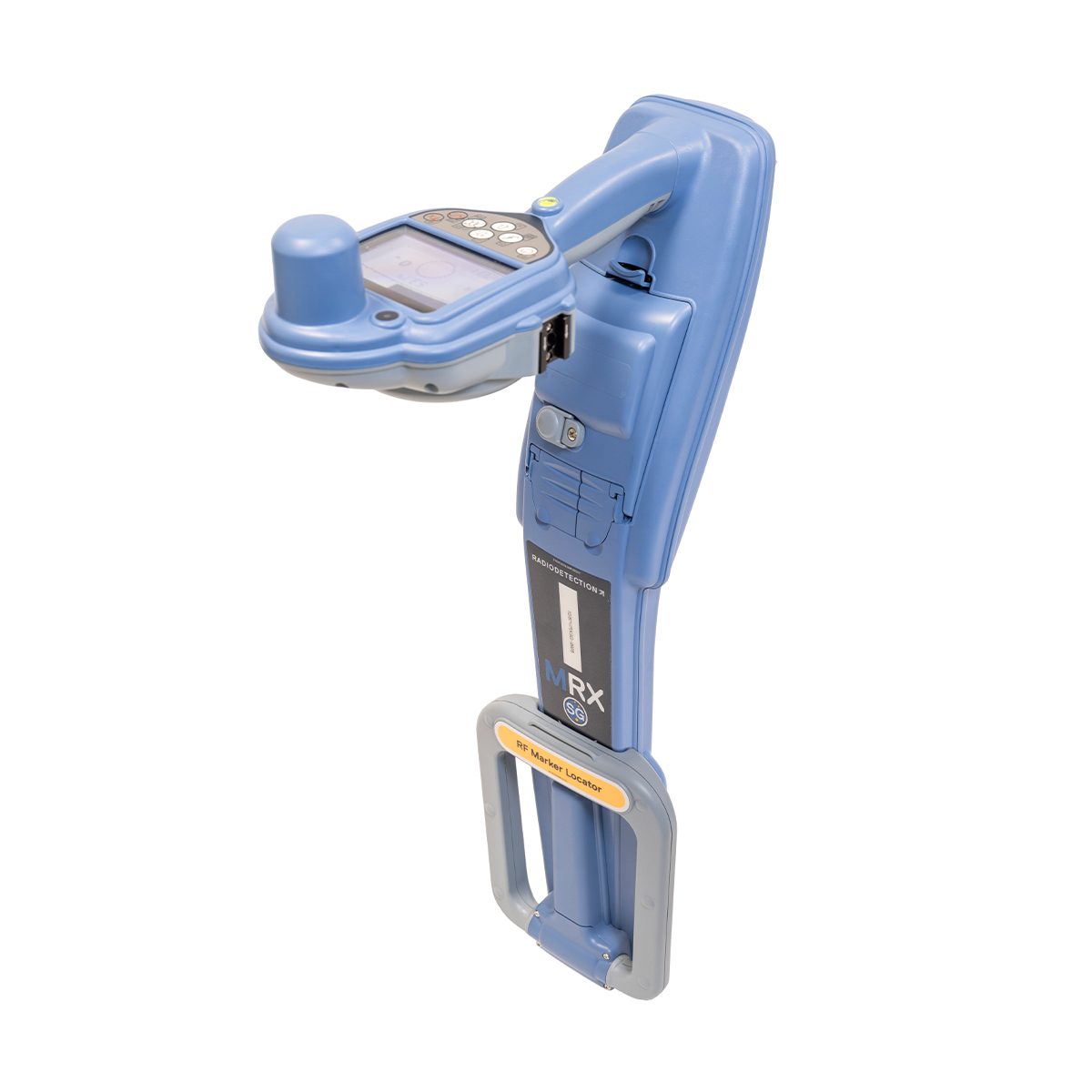
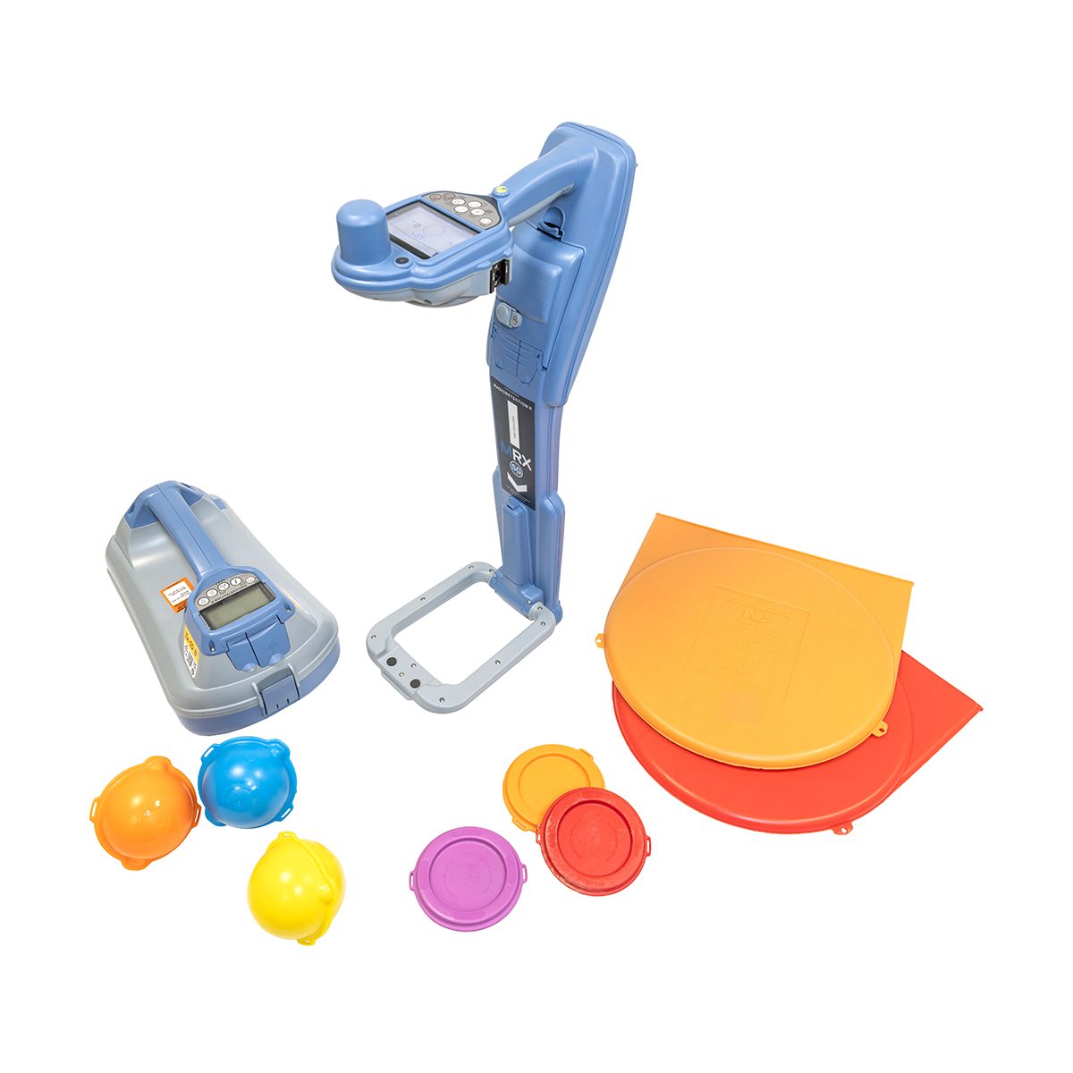
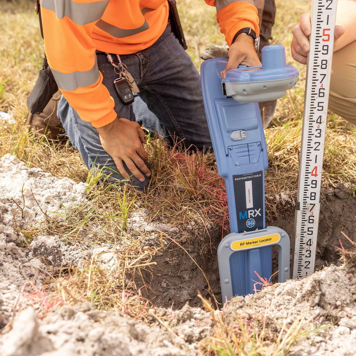
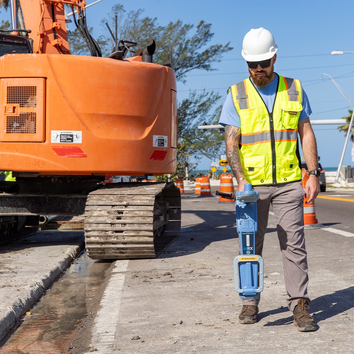

Radiodetection 10/MRXSG-US-KIT MRX SG Survey Grade Locator
Call to OrderFrontier Precision is currently adding items to the Shop, so please contact us at 800-359-3703 to order or for more information on this item.Only available in WA, OR, ID, MT, WY, CO, HI, and AK.
Mapping and Digital Solutions
Precision and Marker Locator RangeThe MRX SG is the most advanced RF (Radio Frequency) marker locator in the MRX range, combining precision line locating, marker ball detection, and survey-grade accuracy in a single, powerful solution. Compatible with both Android™ and iOS®, the MRX SG is built for professionals who need to find buried utilities and marker balls, as well as map them with confidence.
The MRX SG delivers precision locating, high accuracy mapping, and rugged reliability for demanding field environments.
Quick View -
Radiodetection 10/MRXSG-US MRX SG Survey Grade Locator
Radiodetection 10/MRXSG-US MRX SG Survey Grade Locator
Call to OrderFrontier Precision is currently adding items to the Shop, so please contact us at 800-359-3703 to order or for more information on this item.Only available in WA, OR, ID, MT, WY, CO, HI, and AK.
Mapping and Digital Solutions
Precision and Marker Locator RangeThe MRX SG is the most advanced RF (Radio Frequency) marker locator in the MRX range, combining precision line locating, marker ball detection, and survey-grade accuracy in a single, powerful solution. Compatible with both Android™ and iOS®, the MRX SG is built for professionals who need to find buried utilities and marker balls, as well as map them with confidence.
The MRX SG delivers precision locating, high accuracy mapping, and rugged reliability for demanding field environments.
Quick View -
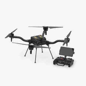
Freefly Astro Map
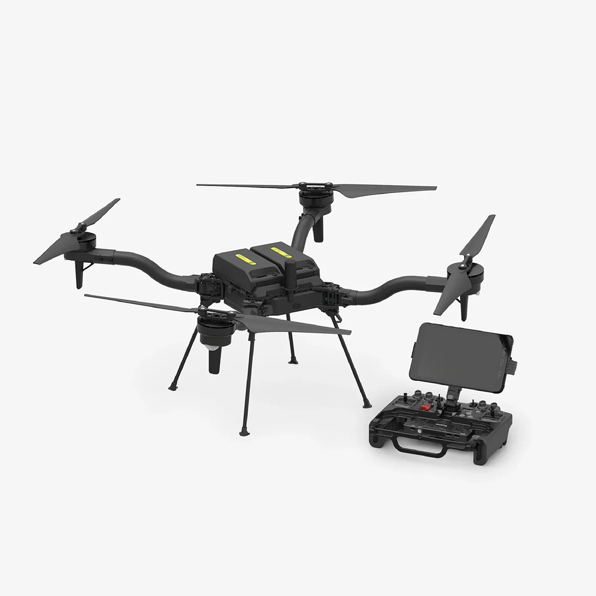
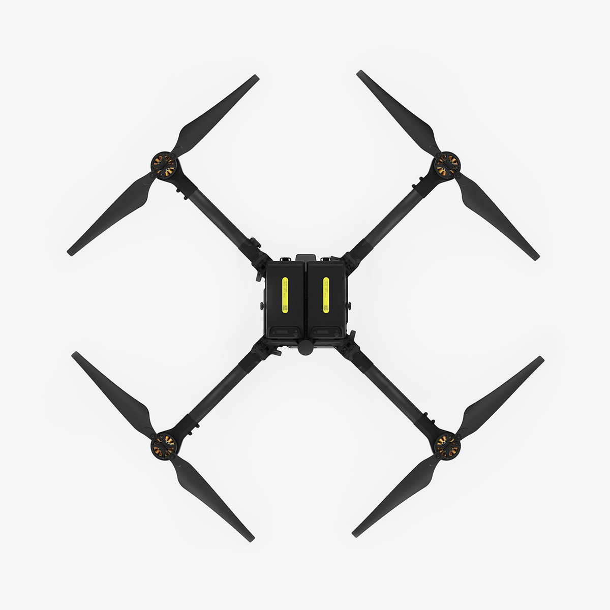
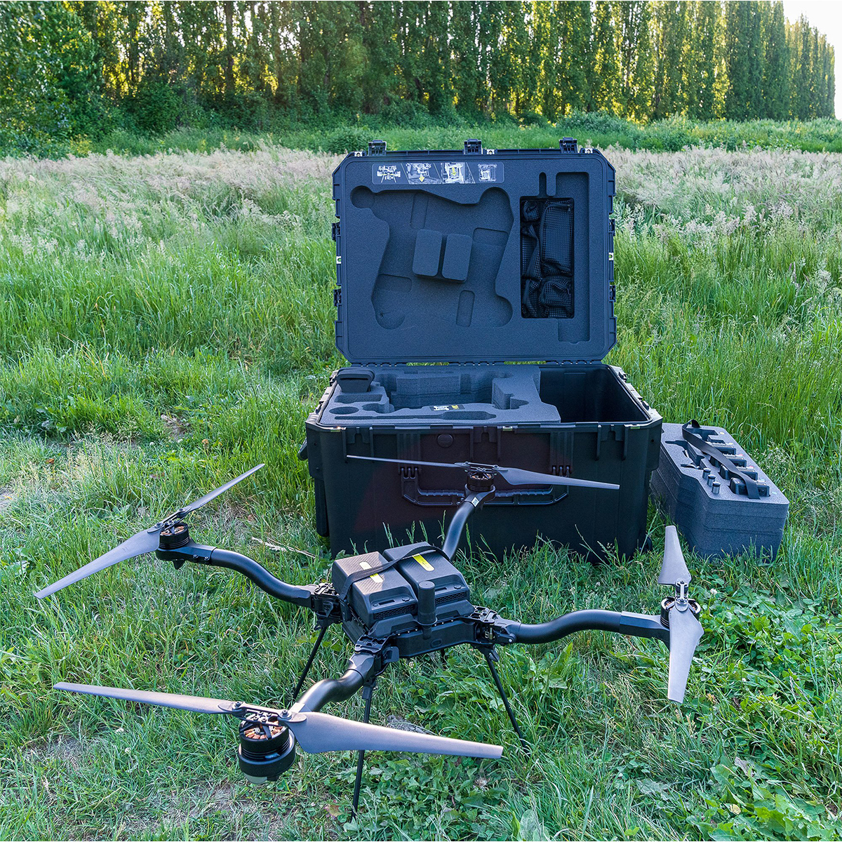

Freefly Astro Map
Call to OrderFrontier Precision is currently adding items to the Shop, so please contact us at 800-359-3703 to order or for more information on this item.Quick View -

Emesent Hovermap Activation Fee – Mapping

Emesent Hovermap Activation Fee – Mapping
Call to OrderFrontier Precision is currently adding items to the Shop, so please contact us at 800-359-3703 to order or for more information on this item.Quick View -

Radiodetection RD8200SG Survey Grade Cable and Pipe Locator
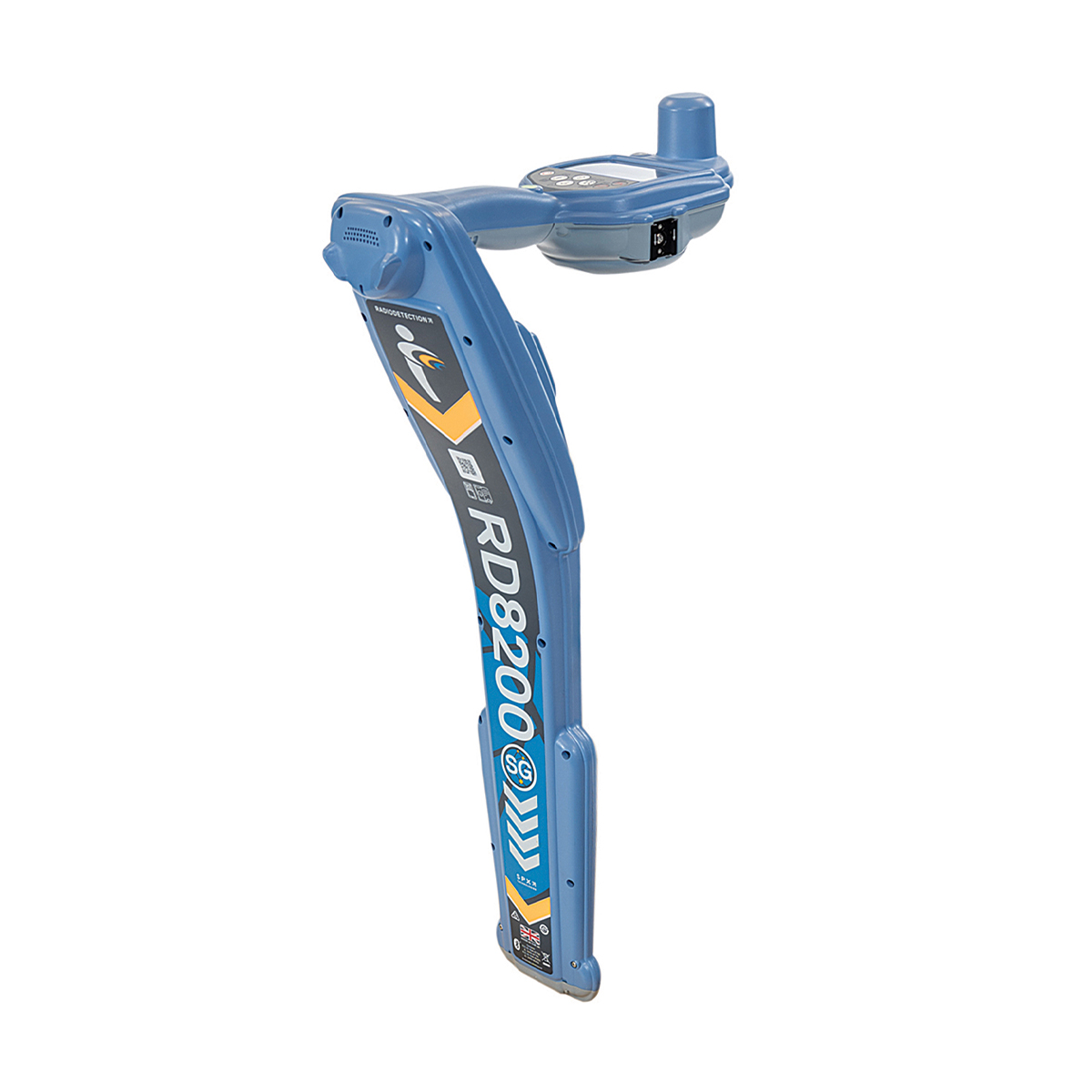

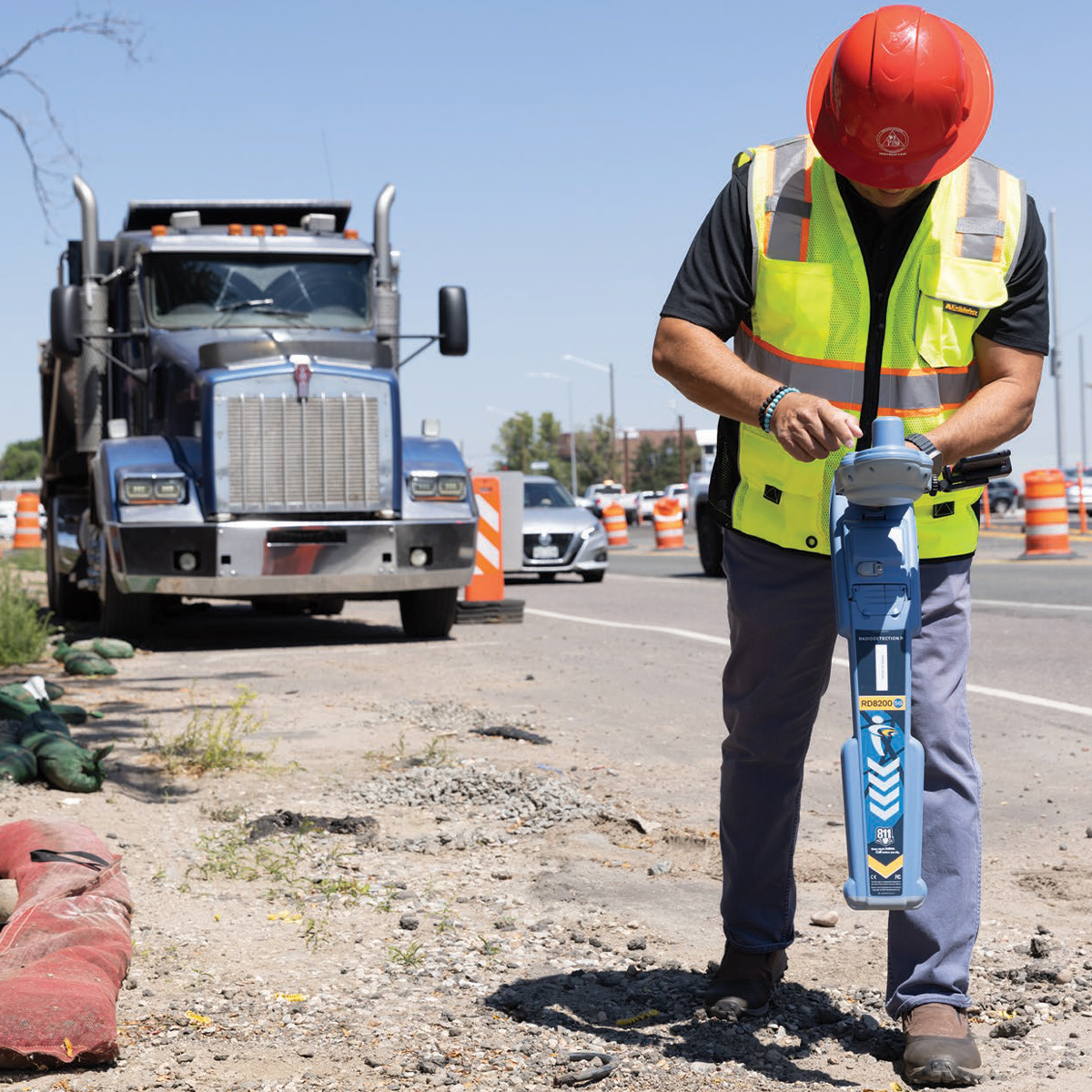


Radiodetection RD8200SG Survey Grade Cable and Pipe Locator
Call to OrderFrontier Precision is currently adding items to the Shop, so please contact us at 800-359-3703 to order or for more information on this item.Only available in WA, OR, ID, MT, WY, CO, HI, and AK.Precision Locator Range
Locate and Map Buried Utilities in a Single Operation
Radiodetection’s most advanced, combined mapping and locating solution.
Quick View -

Emesent Hovermap ST-X Kit

Emesent Hovermap ST-X Kit
Call to OrderFrontier Precision is currently adding items to the Shop, so please contact us at 800-359-3703 to order or for more information on this item.Quick View -

Trimble TDC6 TDC6-1-1100-00 Data Collector
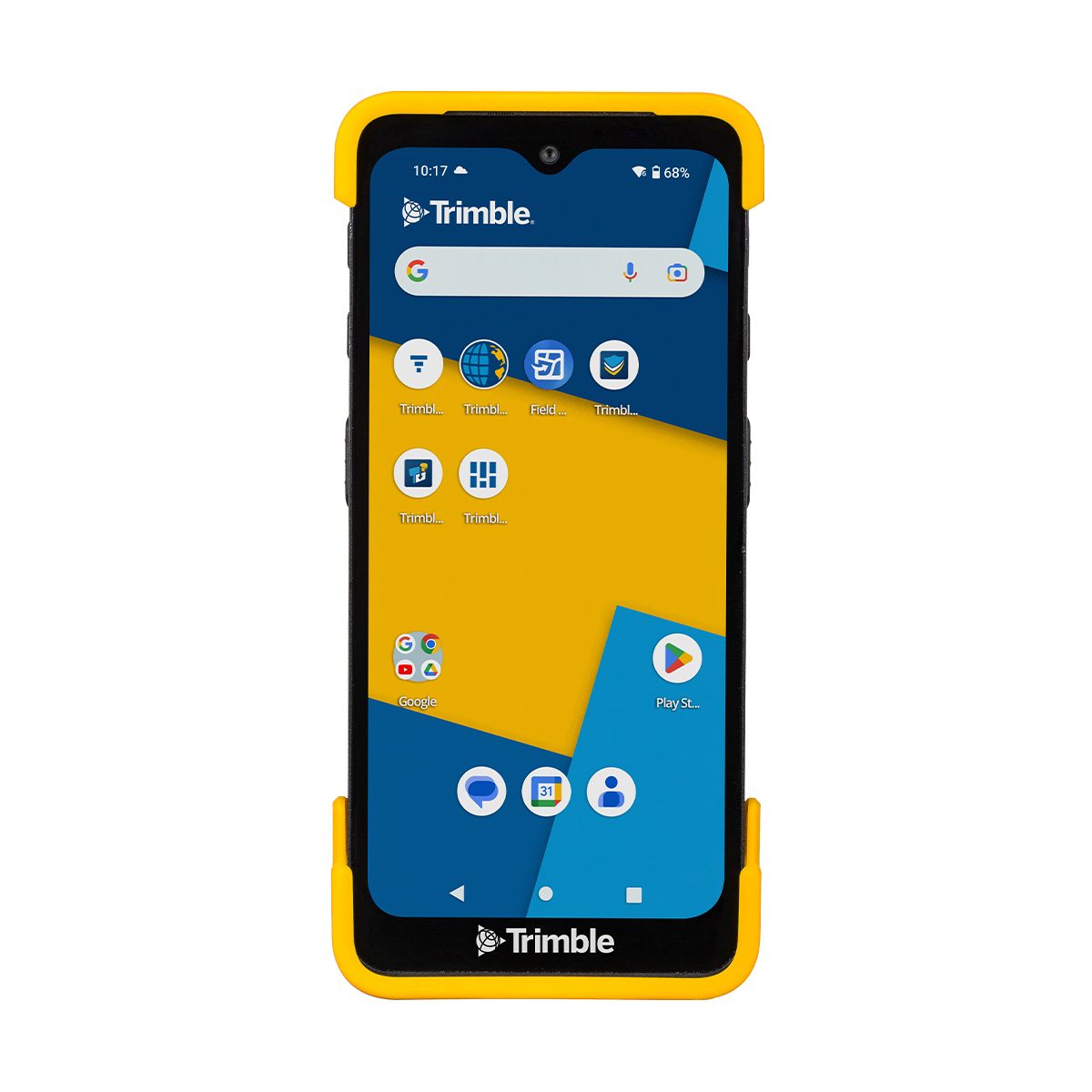
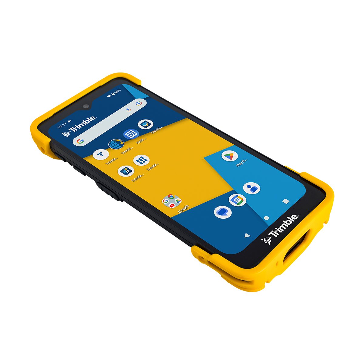
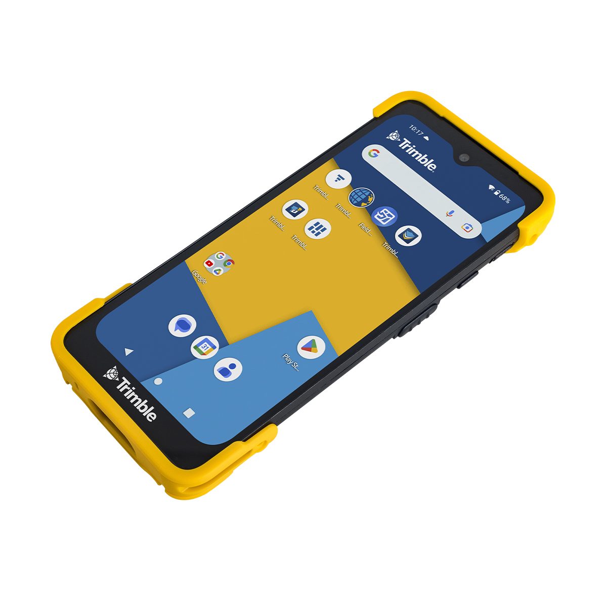
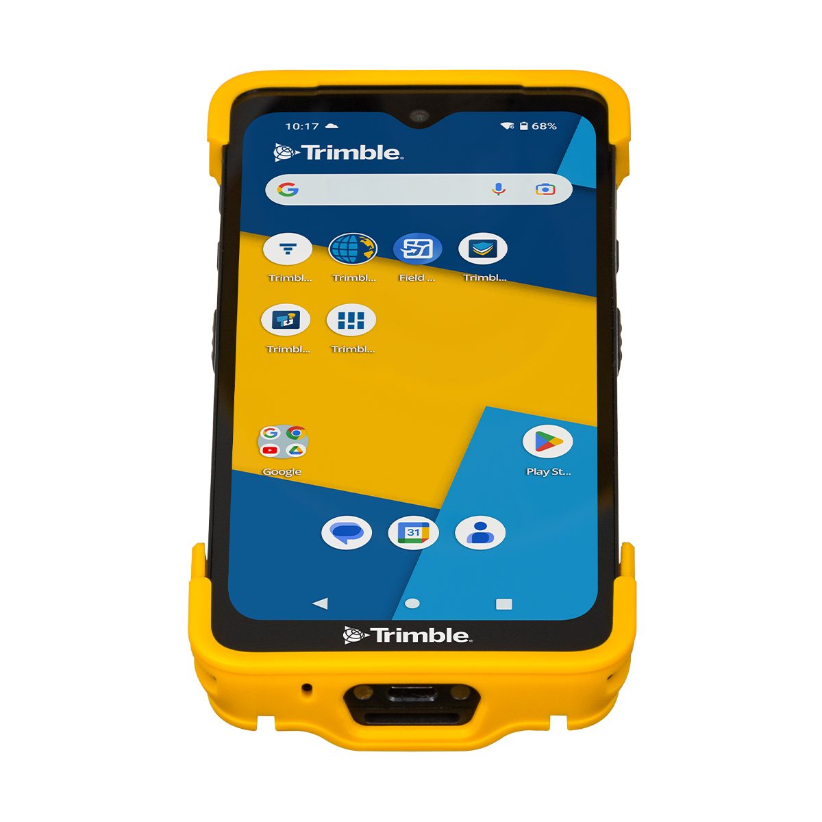
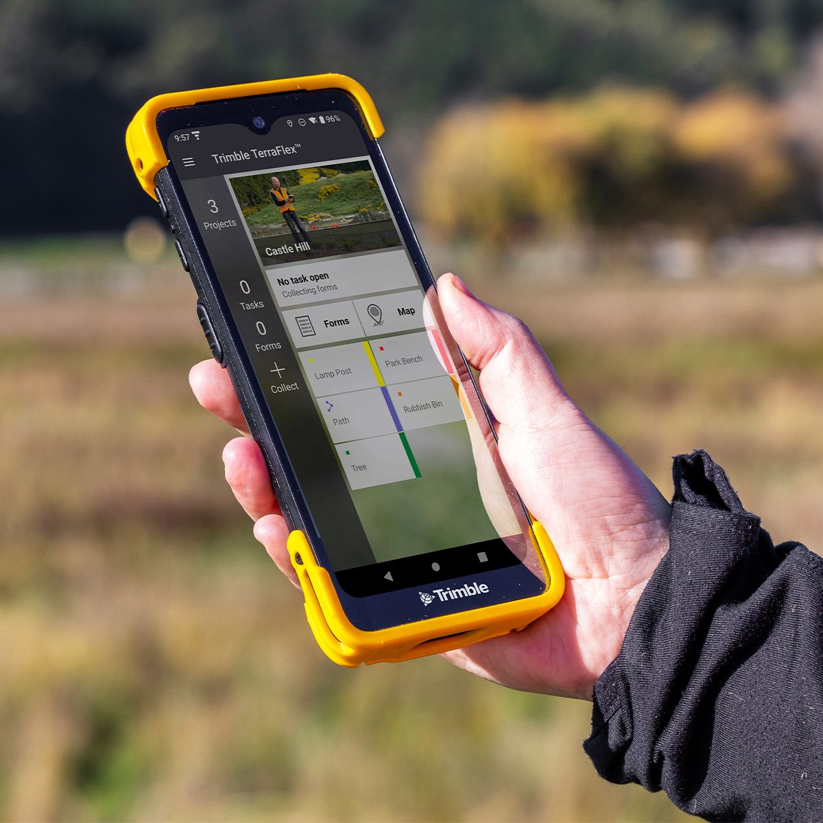

Trimble TDC6 TDC6-1-1100-00 Data Collector
Call to OrderFrontier Precision is currently adding items to the Shop, so please contact us at 800-359-3703 to order or for more information on this item.ONLY AVAILABLE FOR DELIVERY IN ND, SD, MN, CO, AK, MT, ID, HI, WY, OR, & WA.Trimble TDC6 – Android, 6GB/64GB Data Collector
Effortless flexibility.
The Trimble® TDC6 data collector is a powerful, versatile and cost-effective field data collection solution for surveying and mapping professionals. Use the TDC6 standalone as a GIS data collector, paired with a GNSS receiver or as an onboard total station controller.Quick View -

YellowScan Mapper (Version 3) YM3CAMKIT & Single Camera Module 20MP


YellowScan Mapper (Version 3) YM3CAMKIT & Single Camera Module 20MP
Call to OrderFrontier Precision is currently adding items to the Shop, so please contact us at 800-359-3703 to order or for more information on this item.YellowScan Mapper
Jump into LiDAR revolution.Easy mapping redefined. Start your LiDAR journey with our easy-to-use Mapper system. Its low weight, mid-range capability, top-end point density, as well as advanced accuracy and precision, make this LiDAR system the best value for money. Then add the Sony APS-C size Exmor™ CMOS image sensor with a BIONZ X™ processor to produce high-precision 20 MP images.
Quick View -
YellowScan Mapper (Version 3) YSM3KIT15 Integrated System
YellowScan Mapper (Version 3) YSM3KIT15 Integrated System
Call to OrderFrontier Precision is currently adding items to the Shop, so please contact us at 800-359-3703 to order or for more information on this item.YellowScan Mapper
Jump into LiDAR revolution.Easy mapping redefined. Start your LiDAR journey with our easy-to-use Mapper system. Its low weight, mid-range capability, top-end point density, as well as advanced accuracy and precision, make this LiDAR system the best value for money.
Quick View -

YellowScan Mapper+ (Version 3) YSM3+KIT Integrated System


YellowScan Mapper+ (Version 3) YSM3+KIT Integrated System
Call to OrderFrontier Precision is currently adding items to the Shop, so please contact us at 800-359-3703 to order or for more information on this item.YellowScan Mapper+
Small & compact. Mighty & powerful.Advanced performance fitted into a compact survey solution. The YellowScan Mapper+ is an efficient 3 echoes, high-density LiDAR system for all mapping applications.
Quick View -

DJI Agras T40


DJI Agras T40
Call to OrderFrontier Precision is currently adding items to the Shop, so please contact us at 800-359-3703 to order or for more information on this item.Quick View -

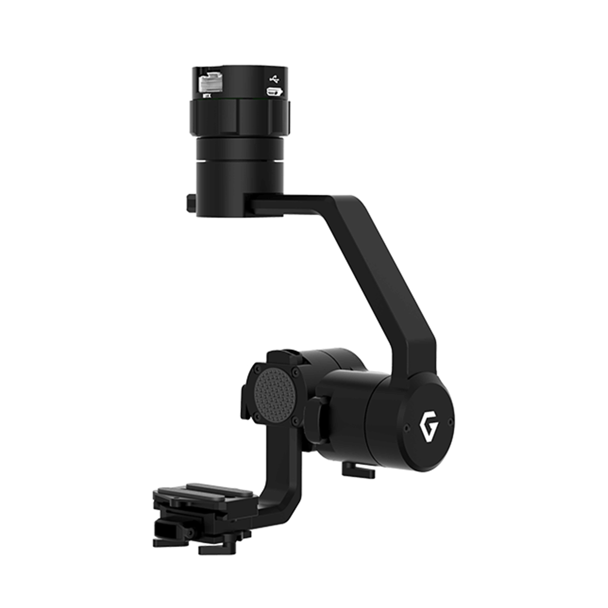
Gremsy S1 (V3)


Gremsy S1 (V3)
Call to OrderFrontier Precision is currently adding items to the Shop, so please contact us at 800-359-3703 to order or for more information on this item.Quick View -
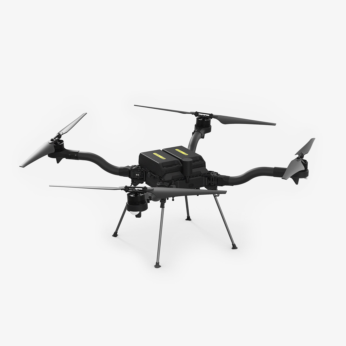
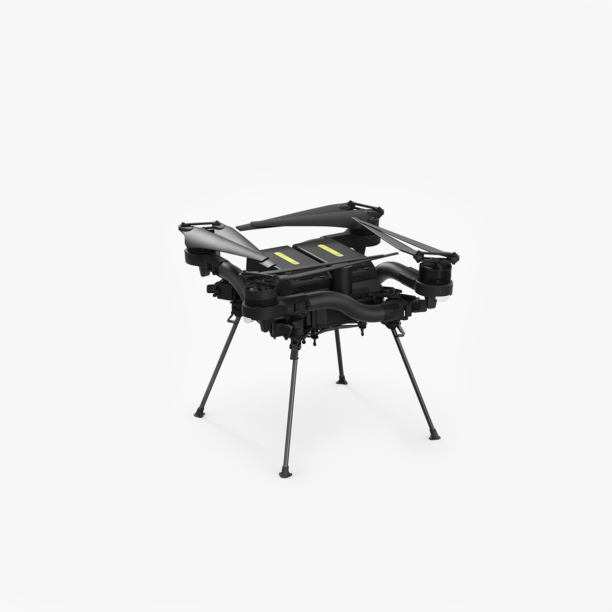
Freefly Astro Map Payload Only

Freefly Astro Map Payload Only
Call to OrderFrontier Precision is currently adding items to the Shop, so please contact us at 800-359-3703 to order or for more information on this item.Quick View -

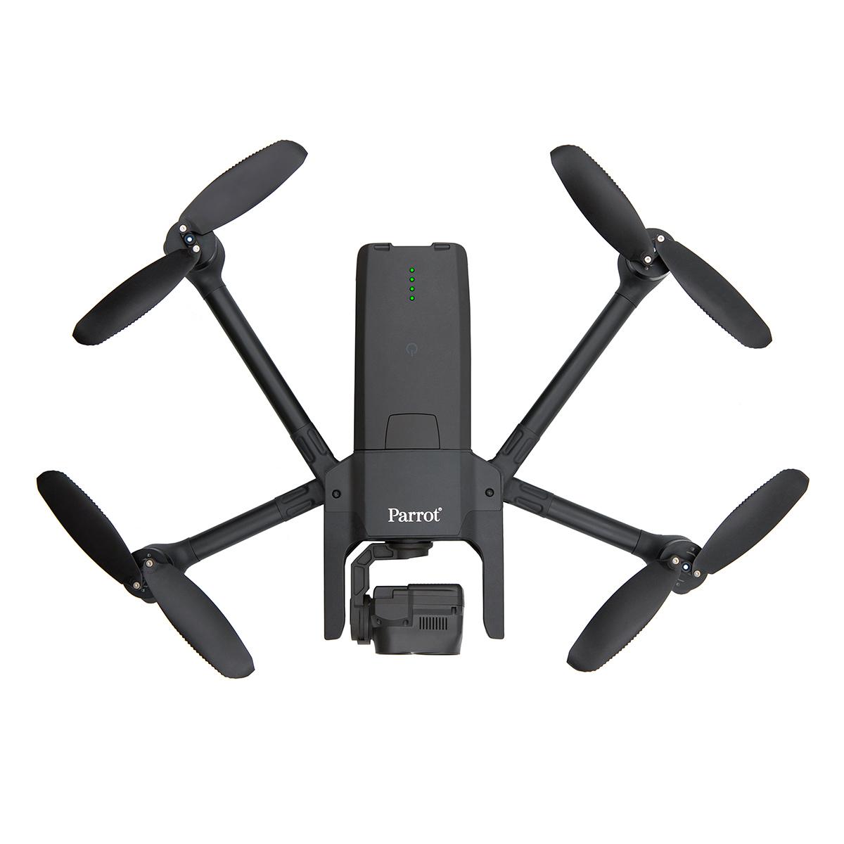
Parrot ANAFI USA – Thermal Drone


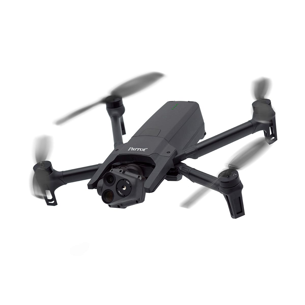

Parrot ANAFI USA – Thermal Drone
Call to OrderFrontier Precision is currently adding items to the Shop, so please contact us at 800-359-3703 to order or for more information on this item.Quick View -

Quantum-Systems Trinity Pro


Quantum-Systems Trinity Pro
Call to OrderFrontier Precision is currently adding items to the Shop, so please contact us at 800-359-3703 to order or for more information on this item.Quick View -

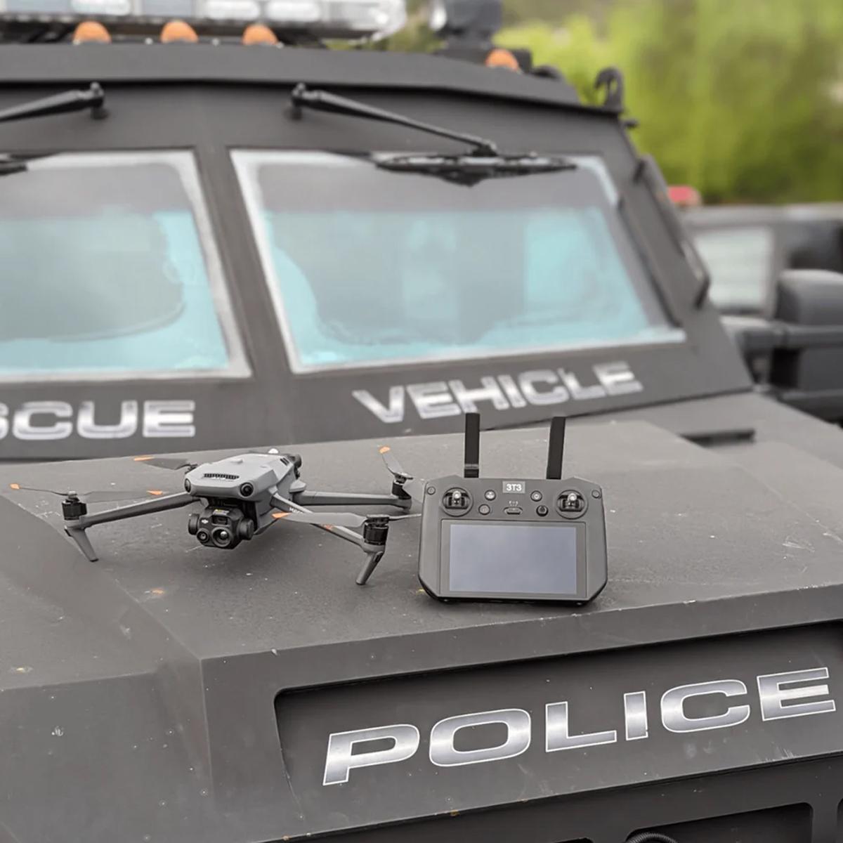
Autel Robotics EVO Max 4T Bundle


Autel Robotics EVO Max 4T Bundle
Call to OrderFrontier Precision is currently adding items to the Shop, so please contact us at 800-359-3703 to order or for more information on this item.Quick View -

YellowScan Navigator YSNVGTRKIT
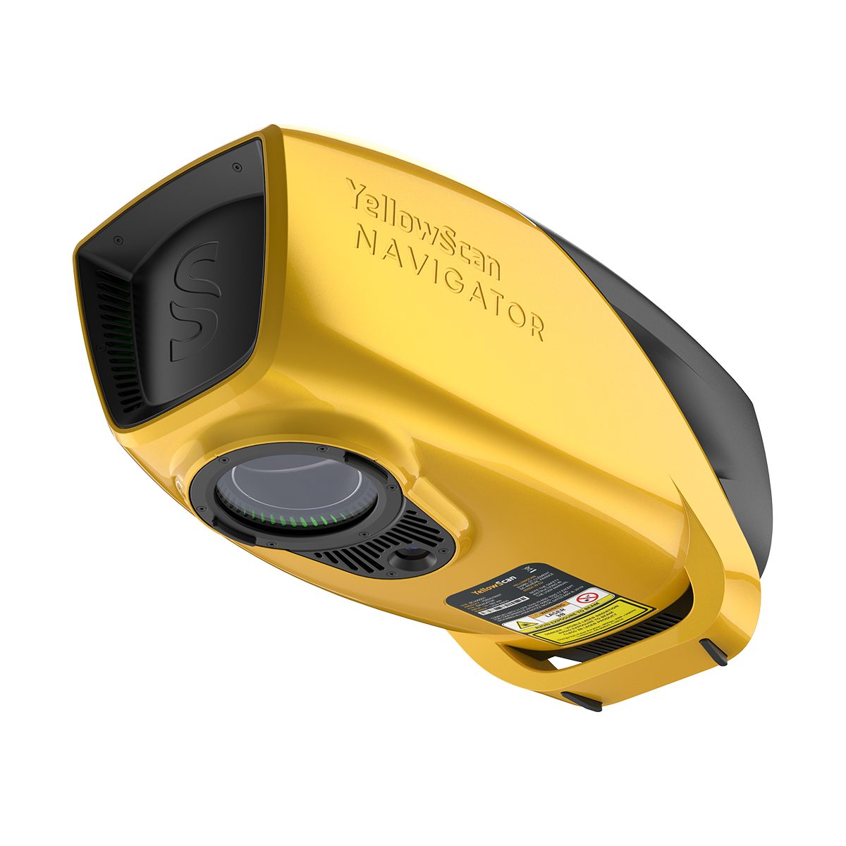
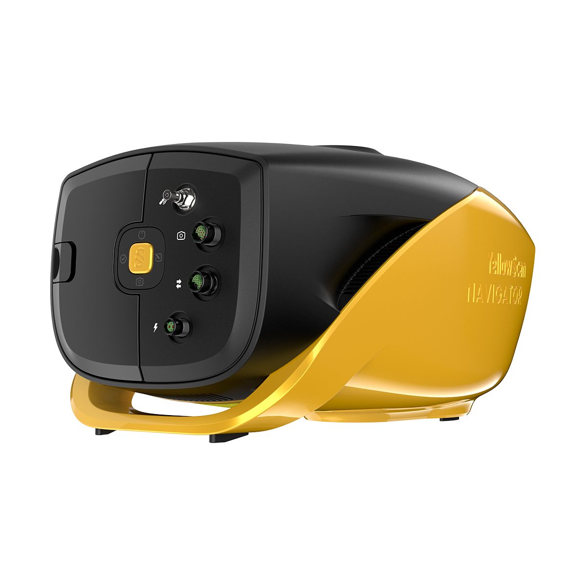
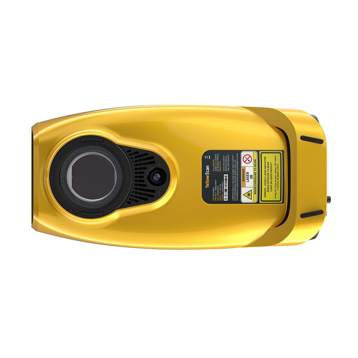
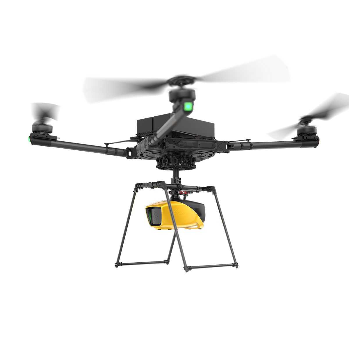
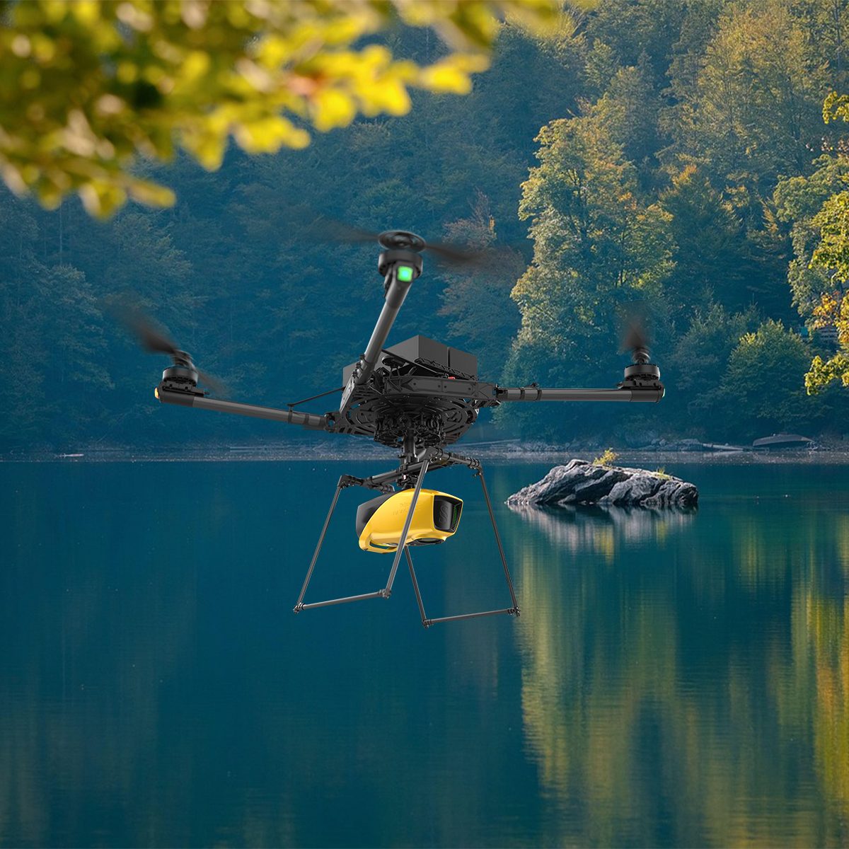
YellowScan Navigator YSNVGTRKIT
Call to OrderFrontier Precision is currently adding items to the Shop, so please contact us at 800-359-3703 to order or for more information on this item.YellowScan Navigator
Depths to heights: operating bathymetric LiDAR with one button.The YellowScan bathymetric LiDAR is an innovative solution for exploring underwater and ground topography with a single-button operation. Its lightweight design allows for versatile platform selection without compromising water penetration.
Quick View -

Parrot ANAFI USA Gov Edition


Parrot ANAFI USA Gov Edition
Call to OrderFrontier Precision is currently adding items to the Shop, so please contact us at 800-359-3703 to order or for more information on this item.BLUE sUAS PROGRAM APPROVED
NDAA & TAA COMPLIANT
Quick View -
Gremsy Mio


Gremsy Mio
Call to OrderFrontier Precision is currently adding items to the Shop, so please contact us at 800-359-3703 to order or for more information on this item.Quick View -

DJI Mavic 3 Thermal, 1 Year Basic


DJI Mavic 3 Thermal, 1 Year Basic
Call to OrderFrontier Precision is currently adding items to the Shop, so please contact us at 800-359-3703 to order or for more information on this item.Quick View -

DJI Mavic 3 Enterprise


DJI Mavic 3 Enterprise
Call to OrderFrontier Precision is currently adding items to the Shop, so please contact us at 800-359-3703 to order or for more information on this item.Quick View -

DJI Mavic 3 Multispectral


DJI Mavic 3 Multispectral
Call to OrderFrontier Precision is currently adding items to the Shop, so please contact us at 800-359-3703 to order or for more information on this item.See More, Work Smarter
Effective aerial surveying needs to see the invisible. That’s why Mavic 3 Multispectral has two forms of sight. It combines an RGB camera with a multispectral camera to scan and analyze crop growth with total clarity. Agricultural production management requires precision and data, and Mavic 3M delivers both.Available on backorder
Quick View -
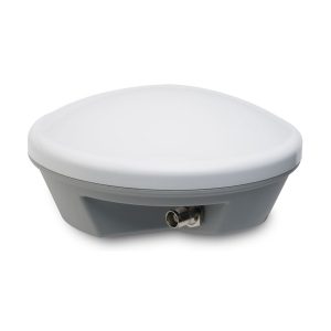
Used Trimble Tornado Antenna

Used Trimble Tornado Antenna
Call to OrderFrontier Precision is currently adding items to the Shop, so please contact us at 800-359-3703 to order or for more information on this item.The Trimble® Tornado™ external dual frequency antenna contains advanced technology for extremely low multipath, outstanding low elevation satellite tracking, and high phase center accuracy. Use the Tornado antenna together with a Trimble H-Star enabled handhelds and receivers for high-accuracy mapping and GIS data collection.
Quick View