UgCS Expert Perpetual
Call to OrderFrontier Precision is currently adding items to the Shop, so please contact us at 800-359-3703 to order or for more information on this item.
FEATURES:
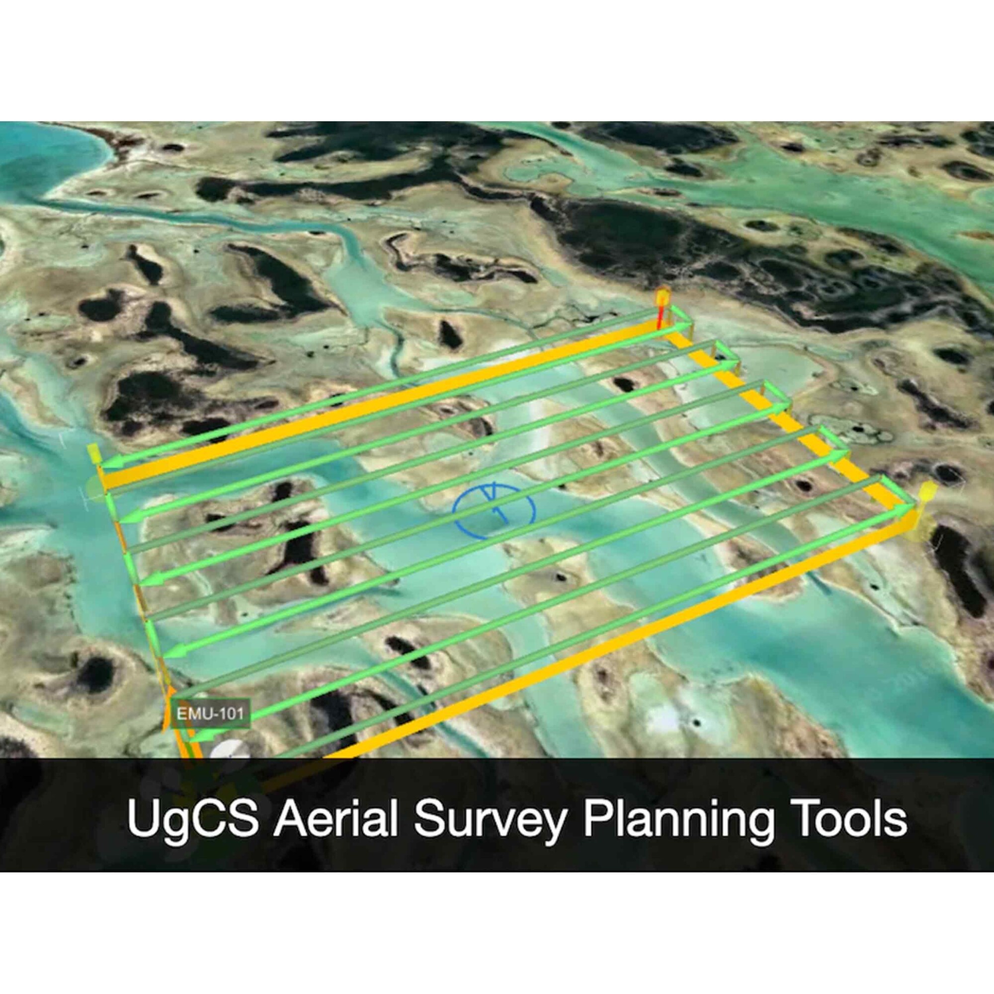
• Waypoints, linear, circle, perimeter, and area scan tools
• LiDAR Toolset
• Automatic photogrammetry, vertical (facade) scan, corridor mapping, and SAR tools
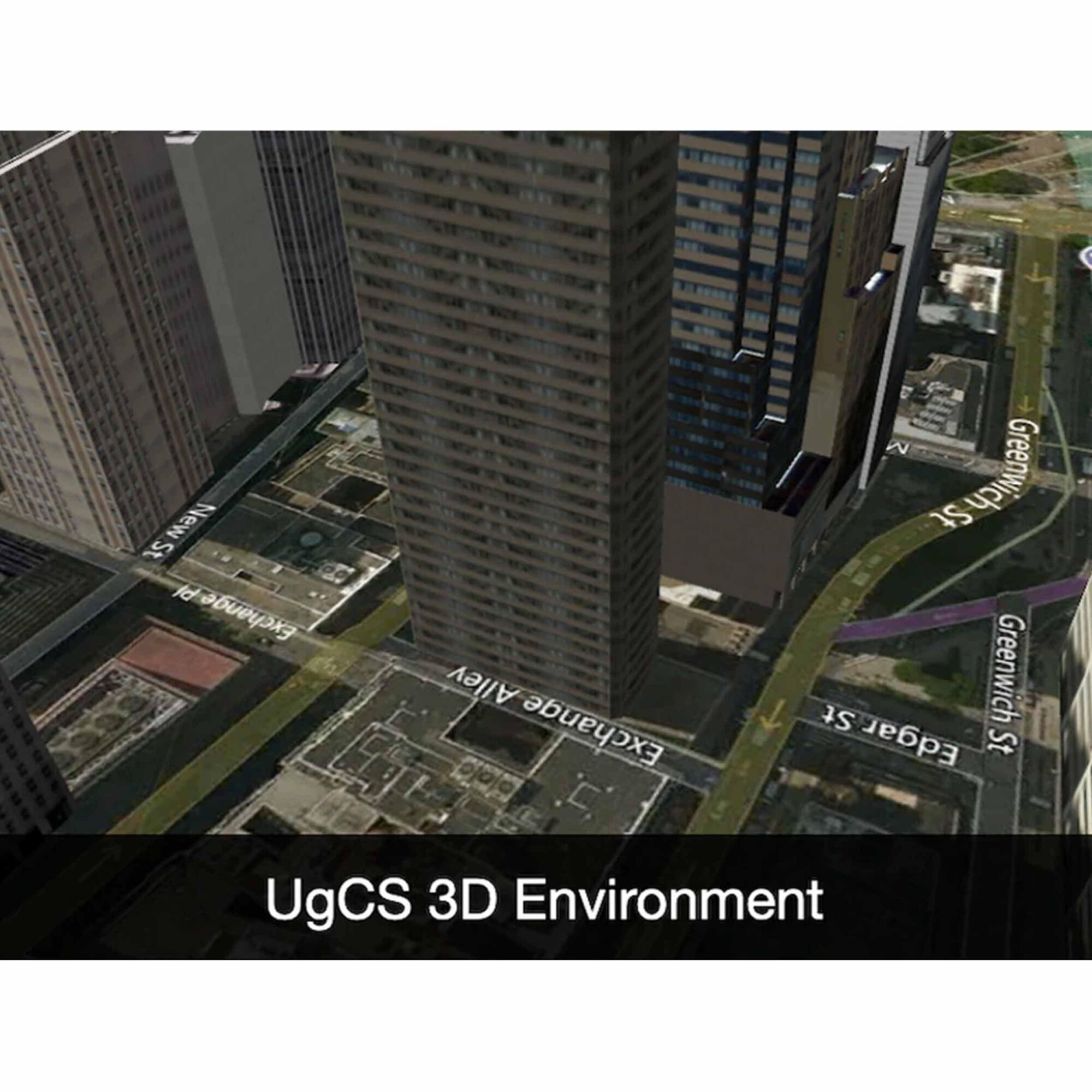
• Immersive 3D mission planning environment
• KML/CSV data import
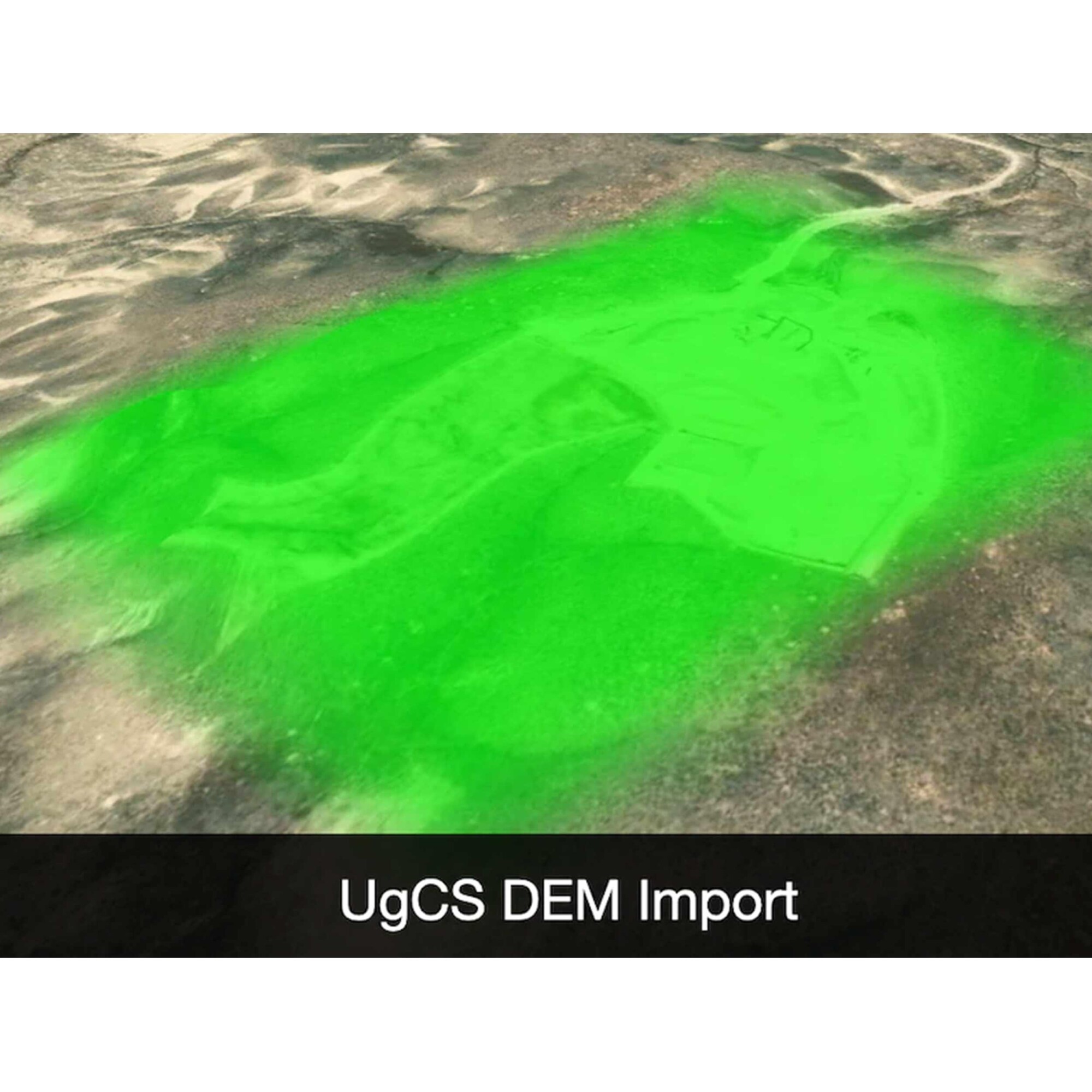
• DEM import
• Elevation profile and terrain following mode
• Georeferenced image import
• Custom map overlays
• ADS-B receiver
• Video transmitting
• Compatible with the UgCS Mapper to process images and create map overlays
LiDAR Toolset Key Features:
• Precise Calibration
• Flight Patterns for Route Planning
• Anti-shake Turns
• Constant Line Spacing and Buffer
Related products
-

Trimble SiteVision Unlimited Per Year


Trimble SiteVision Unlimited Per Year
Call to OrderFrontier Precision is currently adding items to the Shop, so please contact us at 800-359-3703 to order or for more information on this item.ONLY AVAILABLE FOR DELIVERY IN ND, SD, MN, CO, AK, MT, ID, HI, WY, OR, & WA.Quick View -

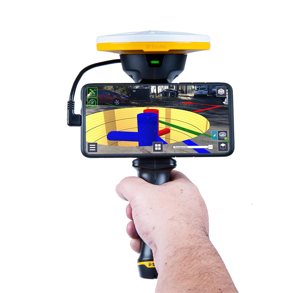
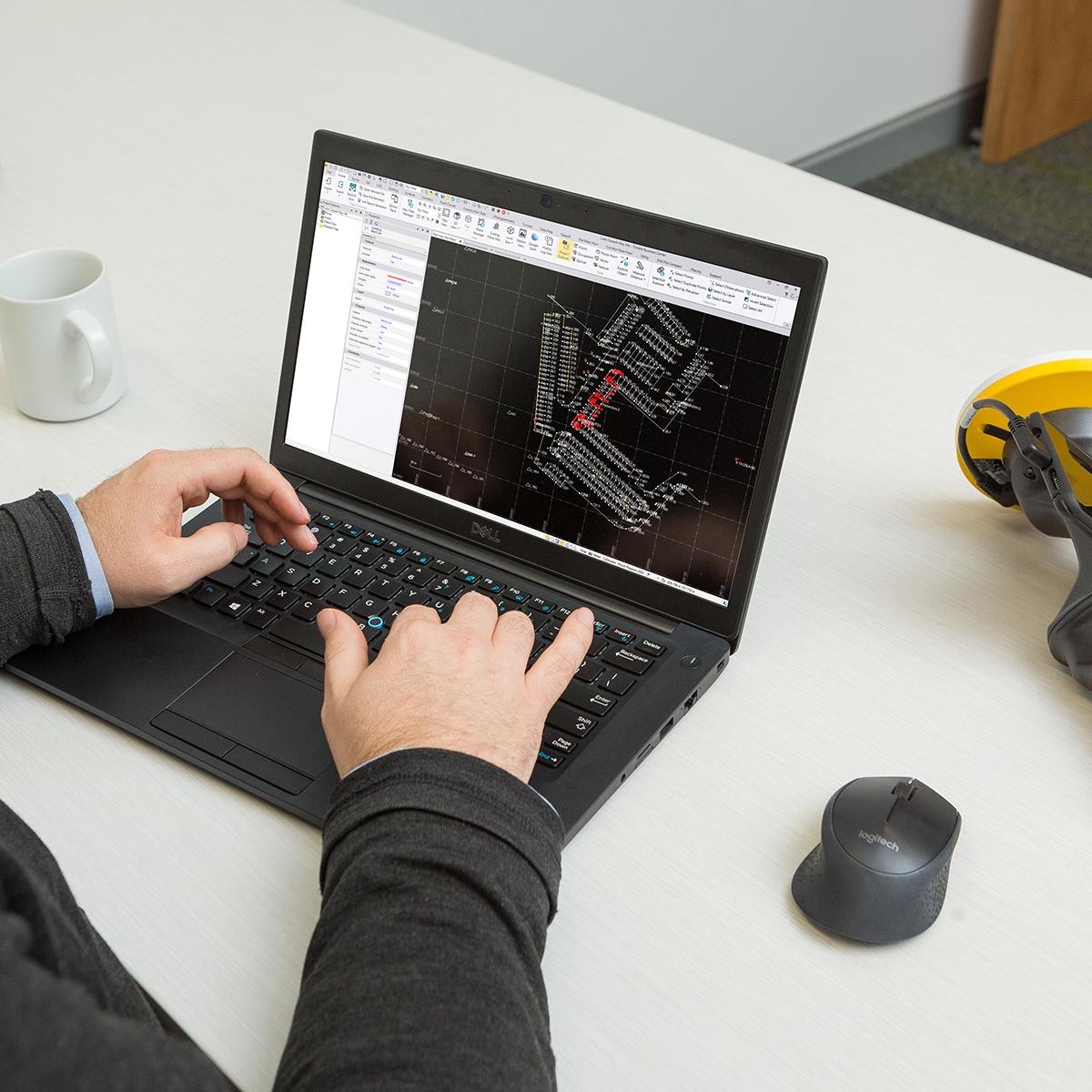
Trimble Access – Roads; Perpetual License
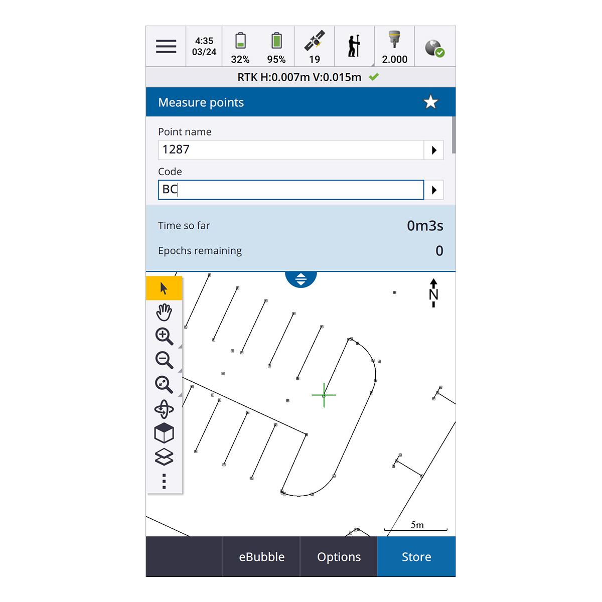
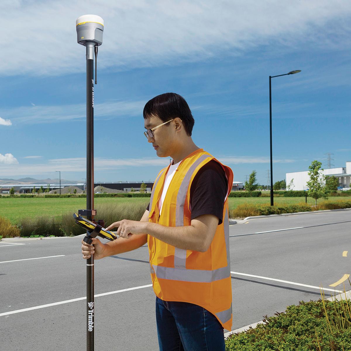
Trimble Access – Roads; Perpetual License
Call to OrderFrontier Precision is currently adding items to the Shop, so please contact us at 800-359-3703 to order or for more information on this item.ONLY AVAILABLE FOR DELIVERY IN ND, SD, MN, CO, AK, MT, ID, HI, WY, OR, & WA.Quick View -
Atlas H10 1 Year
Atlas H10 1 Year
Call to OrderFrontier Precision is currently adding items to the Shop, so please contact us at 800-359-3703 to order or for more information on this item.Quick View -

Catalyst On Demand – 10 Hour Pack (12 month expiry)
Catalyst On Demand – 10 Hour Pack (12 month expiry)
Call to OrderFrontier Precision is currently adding items to the Shop, so please contact us at 800-359-3703 to order or for more information on this item.ONLY AVAILABLE FOR DELIVERY IN ND, SD, MN, CO, AK, MT, ID, HI, WY, OR, & WA.
Quick View