")
LEADING THE WAY IN TECHNOLOGY SINCE 1988


SHOP SOLUTIONS

UNMANNED
Every place is in reach with our unmanned solutions.
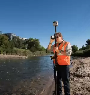
GEOSPATIAL
Accurately collecting data – geographically & topographically.

UNDERGROUND UTILITIES
Damaging buried utilities can be both expensive and dangerous.
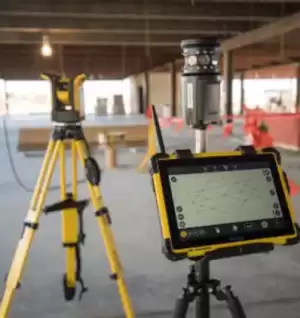
BUILDING CONSTRUCTION
At Frontier Precision, we’re constructing a smarter way to measure.

SOFTWARE & SERVICES
Providing accurate & efficient solutions with confidence.
FEATURED PRODUCTS
Filter By
Showing 631–648 of 700 results
-

Trimble X12 Kit with T10x Tablet
Call for Price

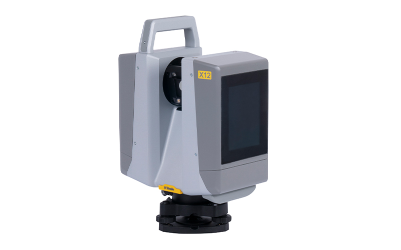

Trimble X12 Kit with T10x Tablet
Call for PriceONLY AVAILABLE FOR DELIVERY IN ND, SD, MN, CO, AK, MT, ID, HI, WY, OR, & WA.
Call 1-800-359-3703 for pricing and quote on configuration.
Quick View -
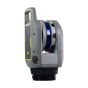
Trimble X9-100-01-GEO X9 3D Laser Scanning System
Call for Price


Trimble X9-100-01-GEO X9 3D Laser Scanning System
Call for PriceONLY AVAILABLE FOR DELIVERY IN ND, SD, MN, CO, AK, MT, ID, HI, WY, OR, & WA.
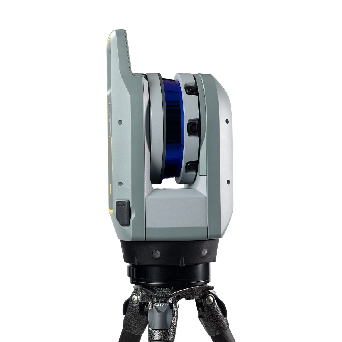
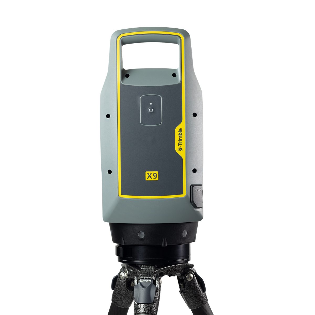
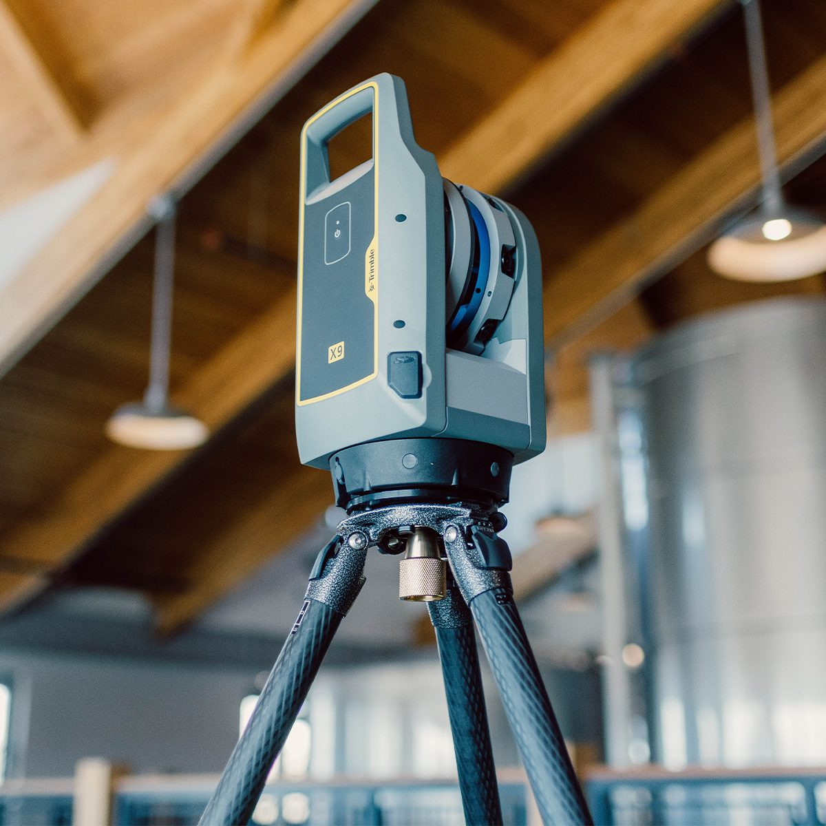
Trimble X9-100-01-GEO X9 3D Laser Scanning System
The power to do more, on your terms.The Trimble® X9 3D laser scanning platform leverages proven Trimble technology to deliver the range, accuracy, speed and sensitivity you need to do more. With flexible licensing plan options, choose the scanning functionality that fits your project needs.
Quick View -
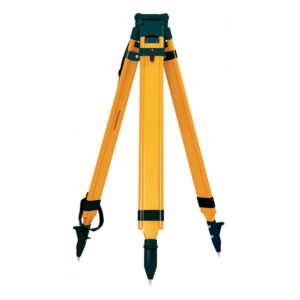
Tripod, PRM, Quick Clamp, Wood/Fiber
Call for Price
Tripod, PRM, Quick Clamp, Wood/Fiber
Call for PriceQuick View -
TSC5 Controller Magnetic Attachment
Call for Price

TSC5 Controller Magnetic Attachment
Call for PriceQuick View -
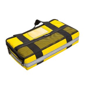
TSC5 Pouch
Call for Price
TSC5 Pouch
Call for PriceQuick View -

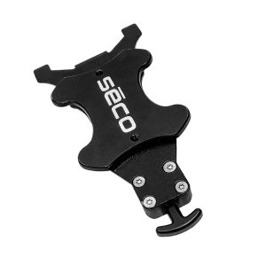
TSC7 Controller Magnetic Attachment
Call for Price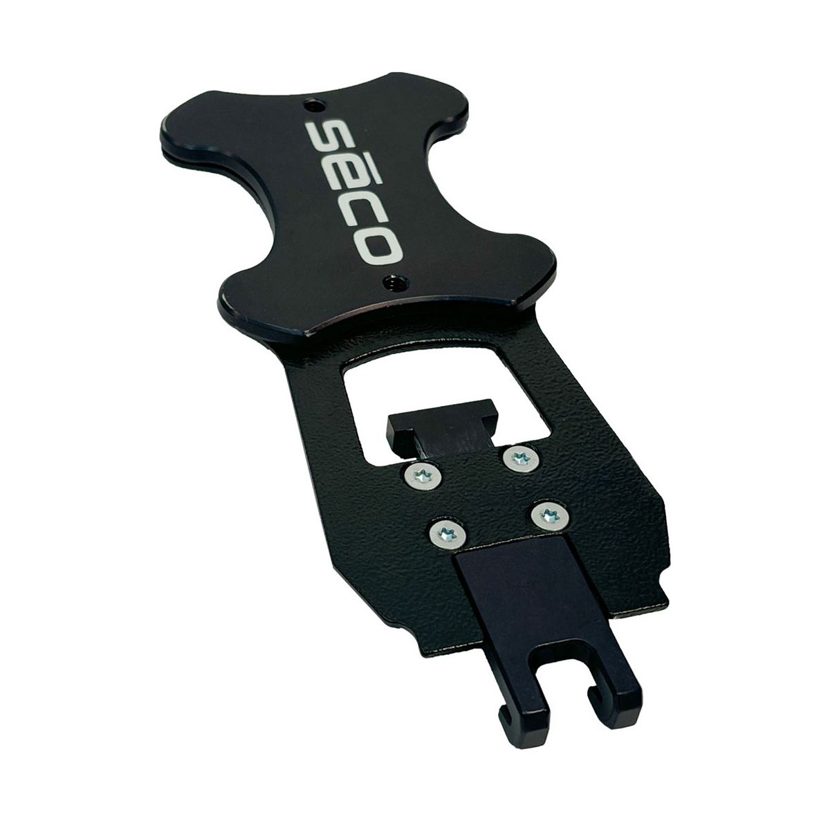
TSC7 Controller Magnetic Attachment
Call for PriceQuick View -

TSC7 Magnetic Pole Bracket
Call for Price
TSC7 Magnetic Pole Bracket
Call for PriceQuick View -

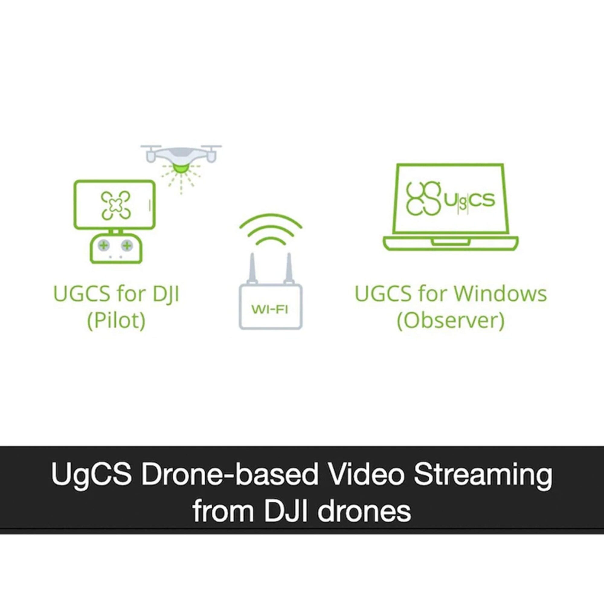
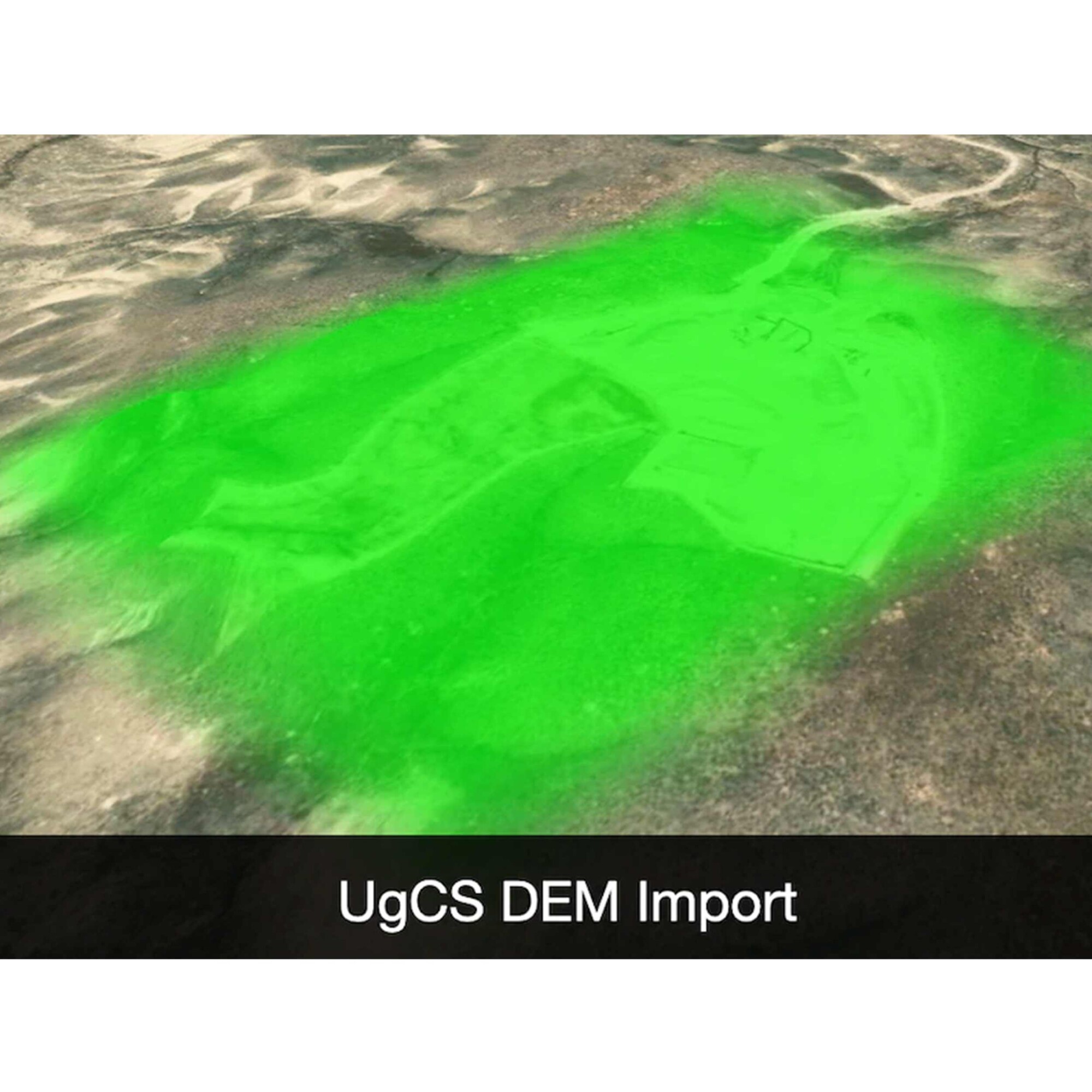
UgCS Enterprise Perpetual
Call for Price

 Quick View
 -

UgCS Expert Perpetual
Call for Price
UgCS Expert Perpetual
Call for PriceQuick View -

UgCS Pro Perpetual
Call for Price

 Quick View
 -

UL633N Laser w/ RC603N Remote; 2 x HL760 Receiver w/ Clamp; SF601; NIMH and Universal Charger
Call for Price


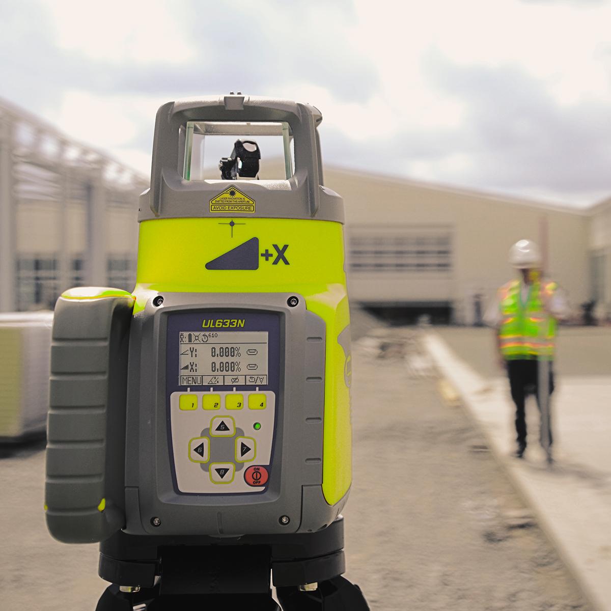
UL633N Laser w/ RC603N Remote; 2 x HL760 Receiver w/ Clamp; SF601; NIMH and Universal Charger
Call for PriceQuick View -
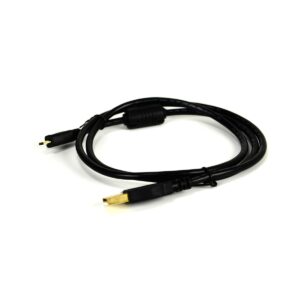
USB 2.0 Type A to USB Micro 3ft
Call for Price
USB 2.0 Type A to USB Micro 3ft
Call for PriceQuick View -
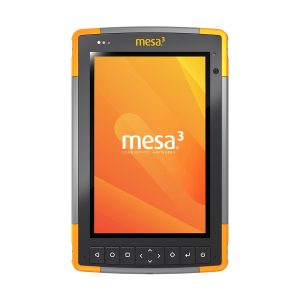
Used Juniper Systems Mesa 3 Windows Rugged Tablet
Call for Price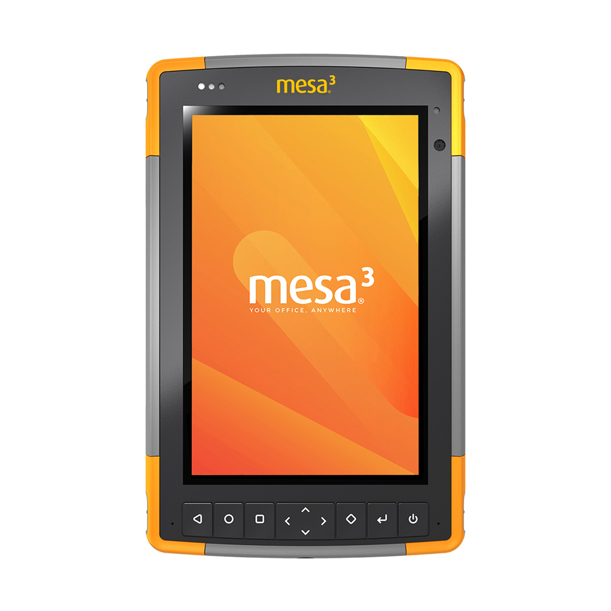
Used Juniper Systems Mesa 3 Windows Rugged Tablet
Call for PriceThe Mesa 3 Rugged Tablet offers powerful functionality. The Mesa 3’s Quad-core Pentium processor is ready to run even the most demanding field data collection applications, and its rugged ergonomic design is ready to handle a long day on the job in some of the harshest environments out there.
Quick View -
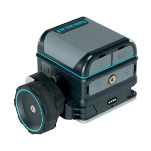
Used Screening Eagle GP8800 Proceq Concrete Scanner
Call for Price
Used Screening Eagle GP8800 Proceq Concrete Scanner
Call for PriceConcrete inspections and structural imaging with SFCW ground penetrating radar technology now fits at the palm of your hand with the Screening Eagle GP8800 Proceq Concrete Scanner.
Quick View -

Used Spectra Precision Ranger 5 Controller
Call for Price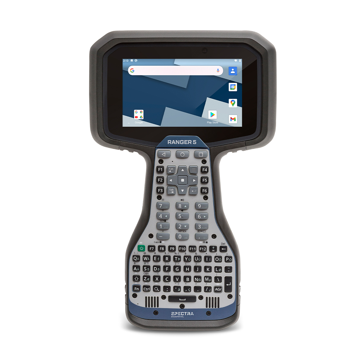
Used Spectra Precision Ranger 5 Controller
Call for PriceThe Spectra Geospatial Ranger 5 is the fifth-generation with a heritage that traces back to the first modern field computer for land surveyors. From the beginning, the Ranger has been designed to help you get every job done consistently, efficiently–and right.
Quick View -
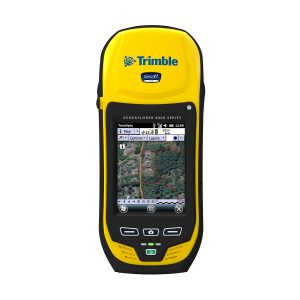
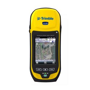
Used Trimble Geo 6000 XT Submeter Handheld
Call for Price
Used Trimble Geo 6000 XT Submeter Handheld
Call for PriceBringing together the essential functionality for productive GIS data collection in one device, the Trimble® GeoExplorer® XH 6000 series also delivers positioning accuracy in challenging GNSS situations such as under trees and near buildings with Trimble Floodlight™ technology. Wherever you work, it just works.
Quick View -
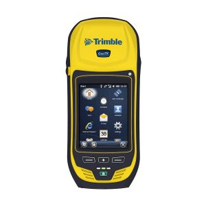
Used Trimble Geo 7X Handheld
Call for Price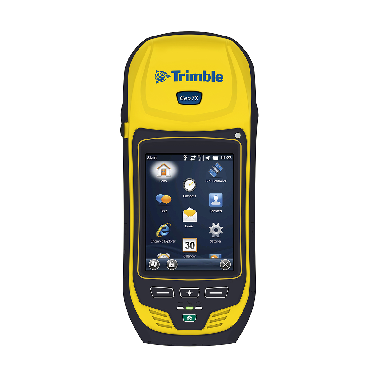
Used Trimble Geo 7X Handheld
Call for PriceThe Trimble Geo 7X handheld is from the Trimble GeoExplorer® series family of integrated, rugged, and high-accuracy GNSS handhelds. As a streamlined solution that enables faster and more productive data collection, the Geo 7X is ideal for organizations, such as utility companies, municipalities, and environmental agencies, requiring mobile data collection and asset management solutions.
Quick View -
Used Trimble Geo XH 6000 3.5G Handheld
Call for Price
Used Trimble Geo XH 6000 3.5G Handheld
Call for PriceBringing together the essential functionality for productive GIS data collection in one device, the Trimble® GeoExplorer® XH 6000 series also delivers positioning accuracy in challenging GNSS situations such as under trees and near buildings with Trimble Floodlight™ technology. Wherever you work, it just works.
Quick View