")
LEADING THE WAY IN TECHNOLOGY SINCE 1988


SHOP SOLUTIONS
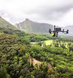
UNMANNED
Every place is in reach with our unmanned solutions.
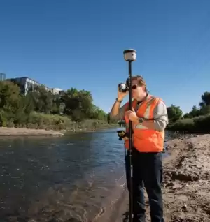
GEOSPATIAL
Accurately collecting data – geographically & topographically.

UNDERGROUND UTILITIES
Damaging buried utilities can be both expensive and dangerous.
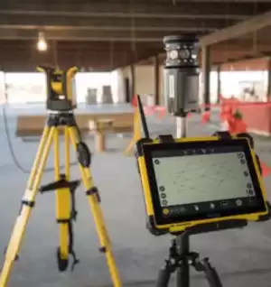
BUILDING CONSTRUCTION
At Frontier Precision, we’re constructing a smarter way to measure.

SOFTWARE & SERVICES
Providing accurate & efficient solutions with confidence.
FEATURED PRODUCTS
Filter By
Showing 667–684 of 687 results
-

Used Trimble Yuma 2 Rugged Tablet
Call for Price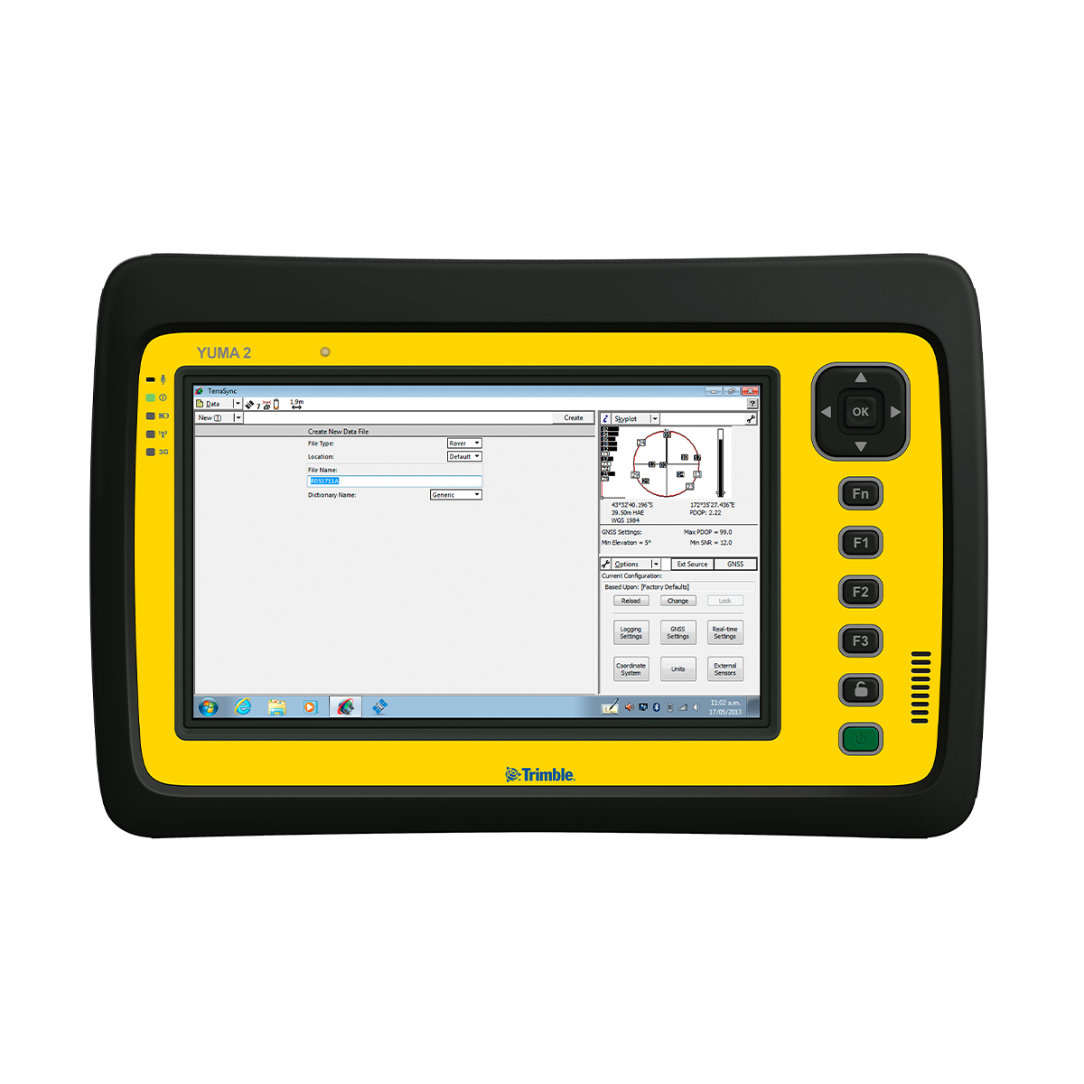
Used Trimble Yuma 2 Rugged Tablet
Call for PriceThe Trimble® Yuma® 2 rugged tablet computer is designed for ease of use and high performance mobility. Great for GIS applications – it’s like bringing a complete PC out into the field. The big bright screen makes it easy to view and use detailed maps, and with more processing power, it is fast. Safeguard your data in the face of dust, sand, mud, humidity, and extreme temperatures. Collect information, capture photos, and communicate with headquarters, all with the assurance that your data is protected.
Quick View -
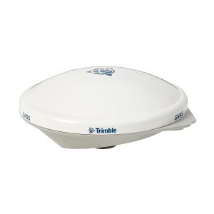
Used Trimble Zephyr 2 Antenna
Call for Price
Used Trimble Zephyr 2 Antenna
Call for PriceThe Trimble Zephyr 2 is a high-performance lightweight GNSS rover antenna optimized for precision RTK applications. The Zephyr 2 GNSS antenna is typically used in roving applications. It minimizes multipath and offers robust low-elevation tracking and sub-millimeter phase center repeatability.
Quick View -
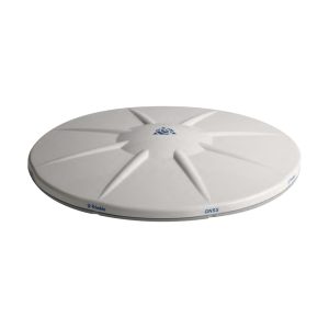
Used Trimble Zephyr 2 Geodetic Antenna
Call for Price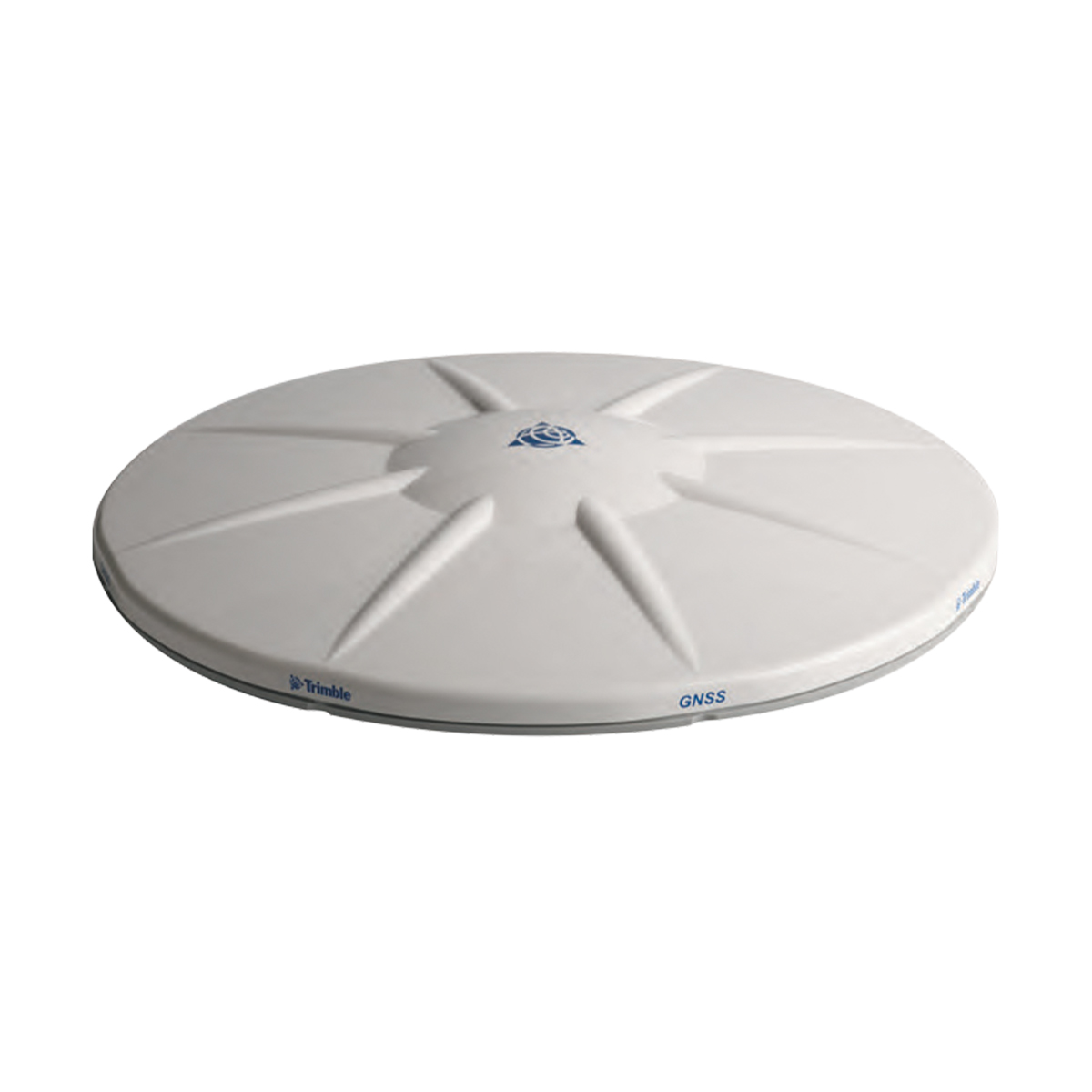
Used Trimble Zephyr 2 Geodetic Antenna
Call for PriceThe Trimble Zephyr 2 Geodetic antenna is extremely rugged and ideal for control work. The Zephyr 2 Geodetic is recommended for all base station applications. This antenna is also suitable as a fixed rover antenna for use in high multi-path environments. The Zephyr 2 Geodetic antenna’s quality performance and extreme accuracy are achieved through sub-millimeter phase center repeatability, robust low-elevation tracking and significantly reduced ground-based multipath.
Quick View -
Used Trimble Zephyr 3 Geodetic Antenna
Call for PriceUsed Trimble Zephyr 3 Geodetic Antenna
Call for PriceThe Trimble Zephyr 3 antennas offer full support for current and near future GNSS signals including GPS, GLONASS, Galileo, BeiDou, OmniSTAR, Trimble RTX and SBAS.
Quick View -

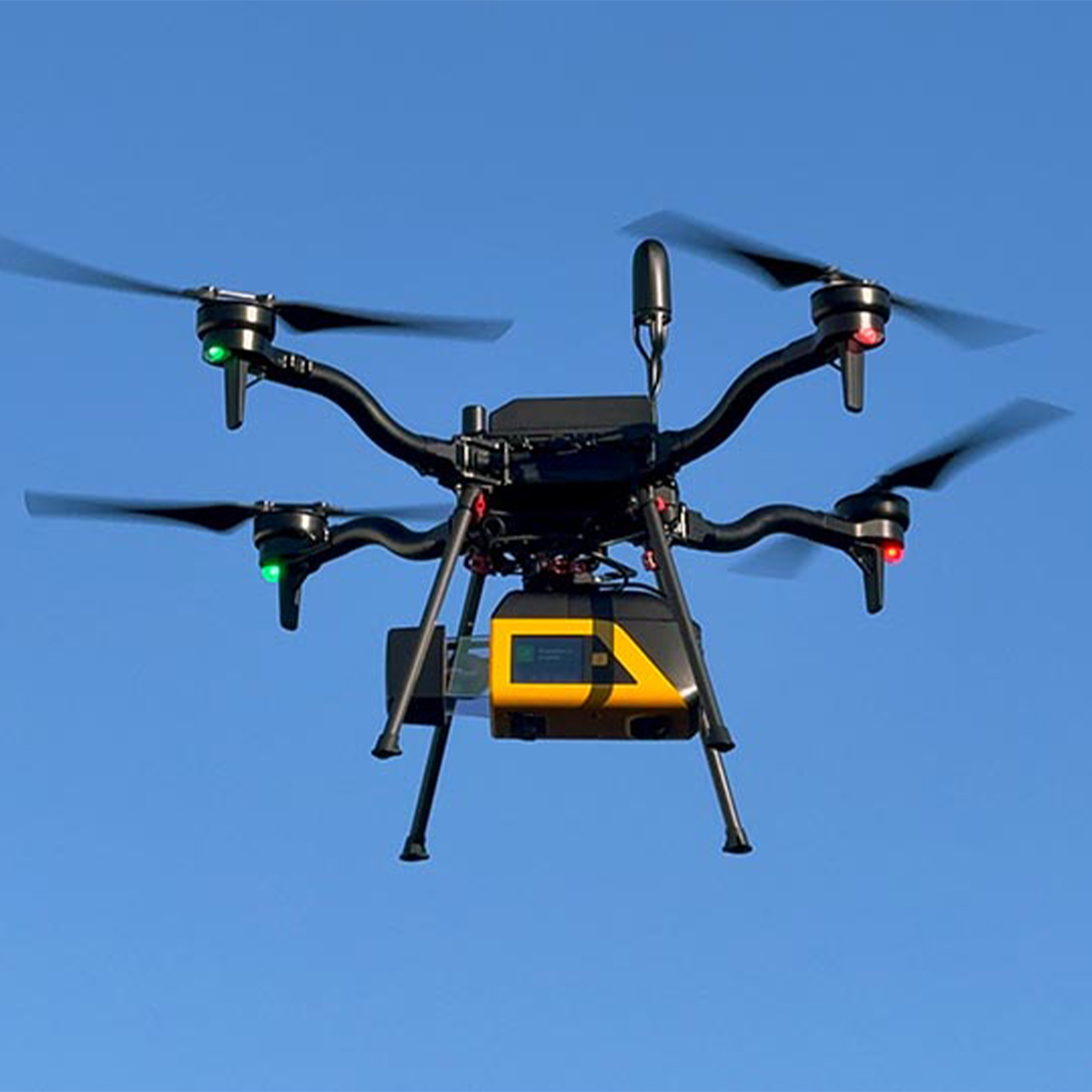
Vision Aerial Vector Hexacopter with Blue Herelink
Call for Price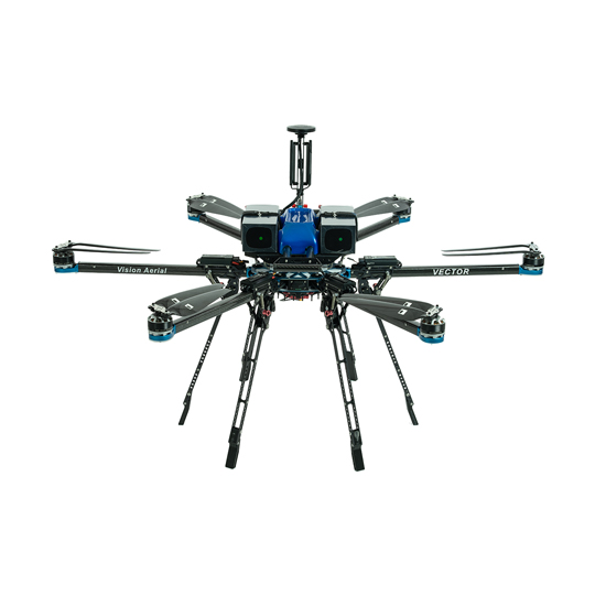
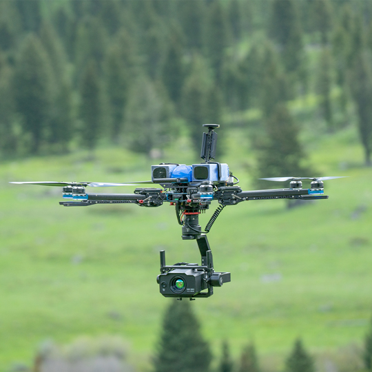
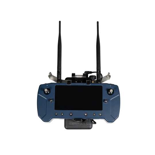

Vision Aerial Vector Hexacopter with Blue Herelink
Call for PriceQuick View -
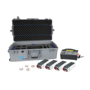
Vision Aerial Vector Solid State Indefinite Flight Package
Call for Price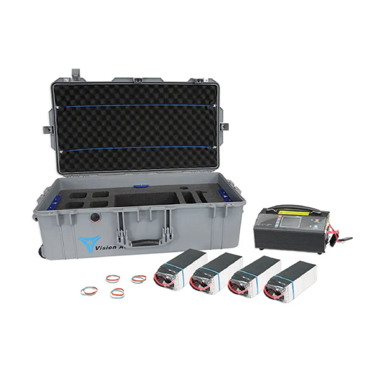
Vision Aerial Vector Solid State Indefinite Flight Package
Call for PriceQuick View -
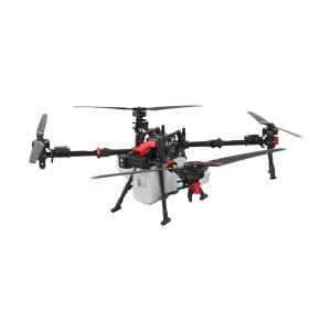
XAG 09-007-00148 P150 Agricultural Drone
Call for Price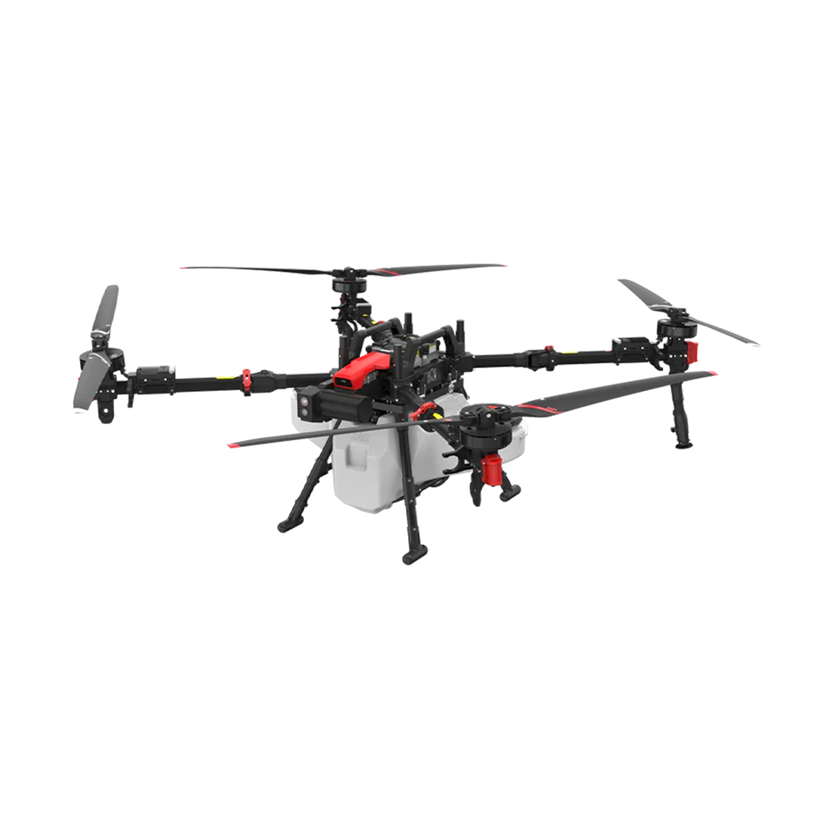
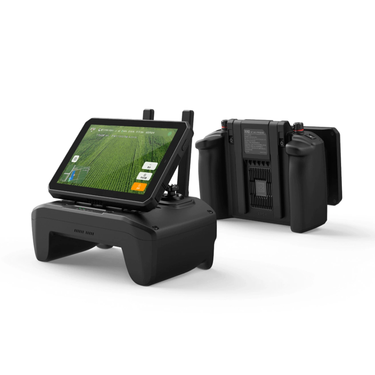

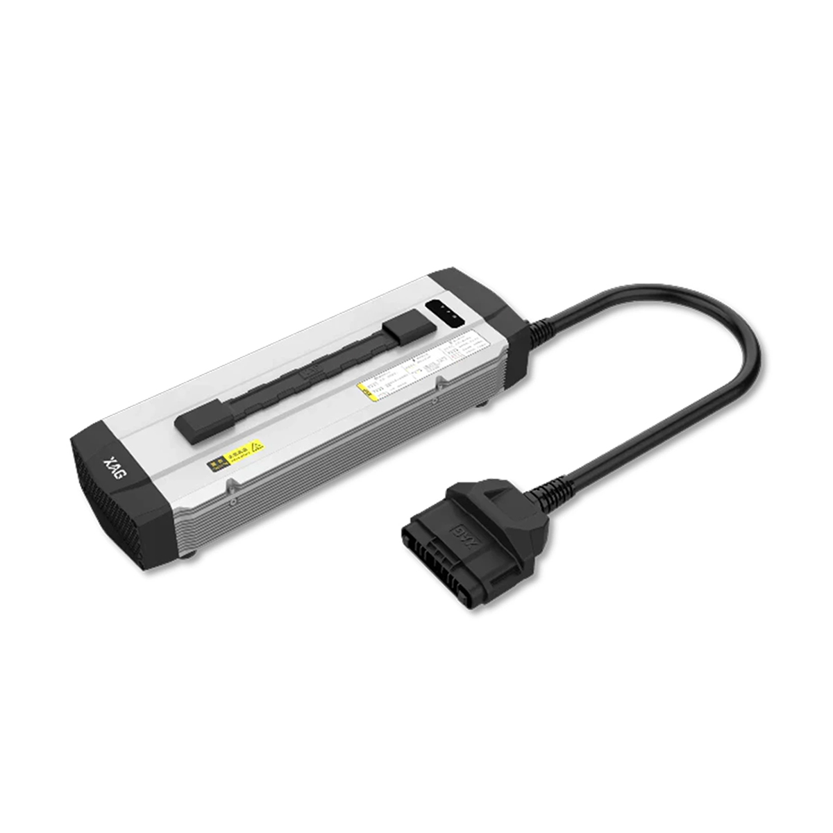
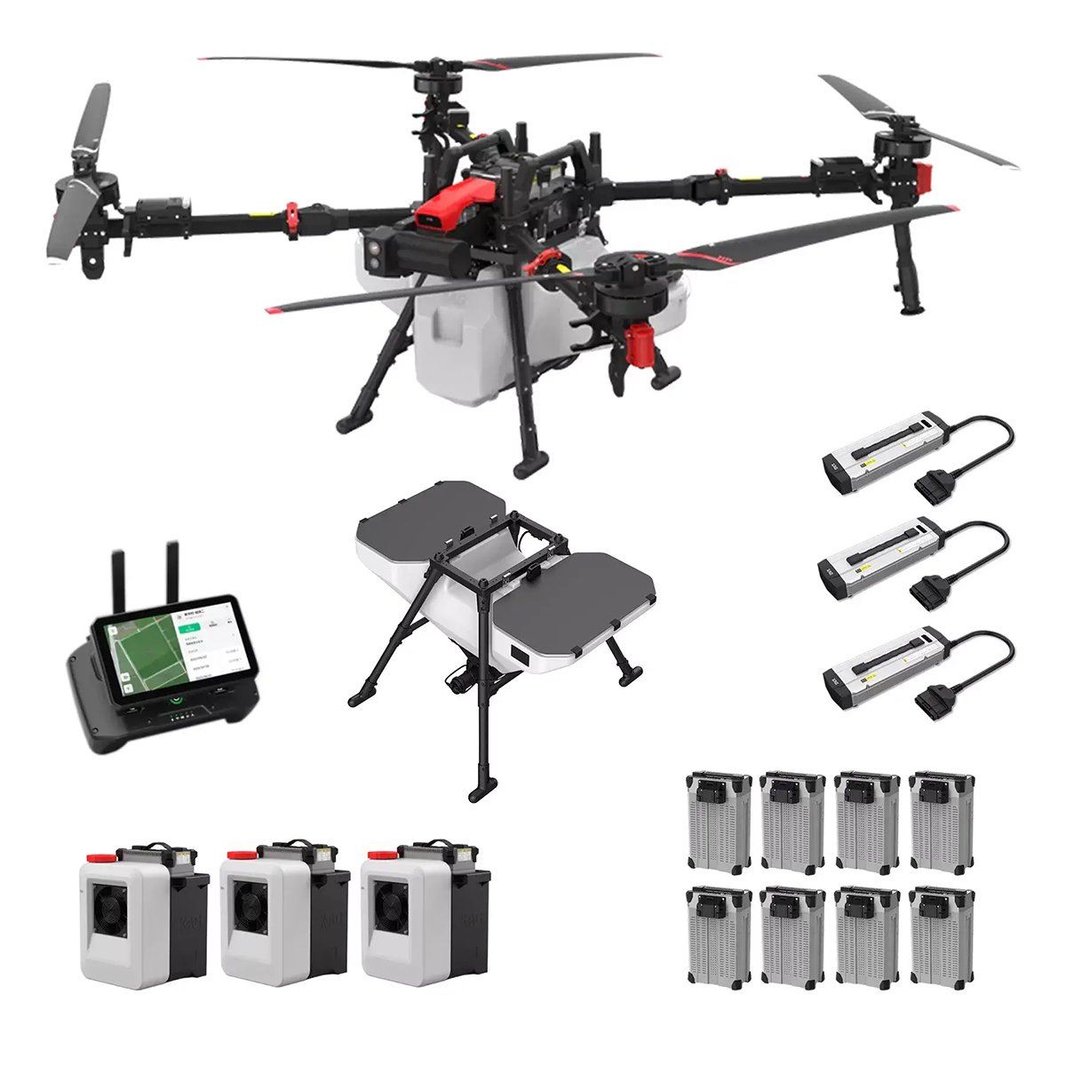

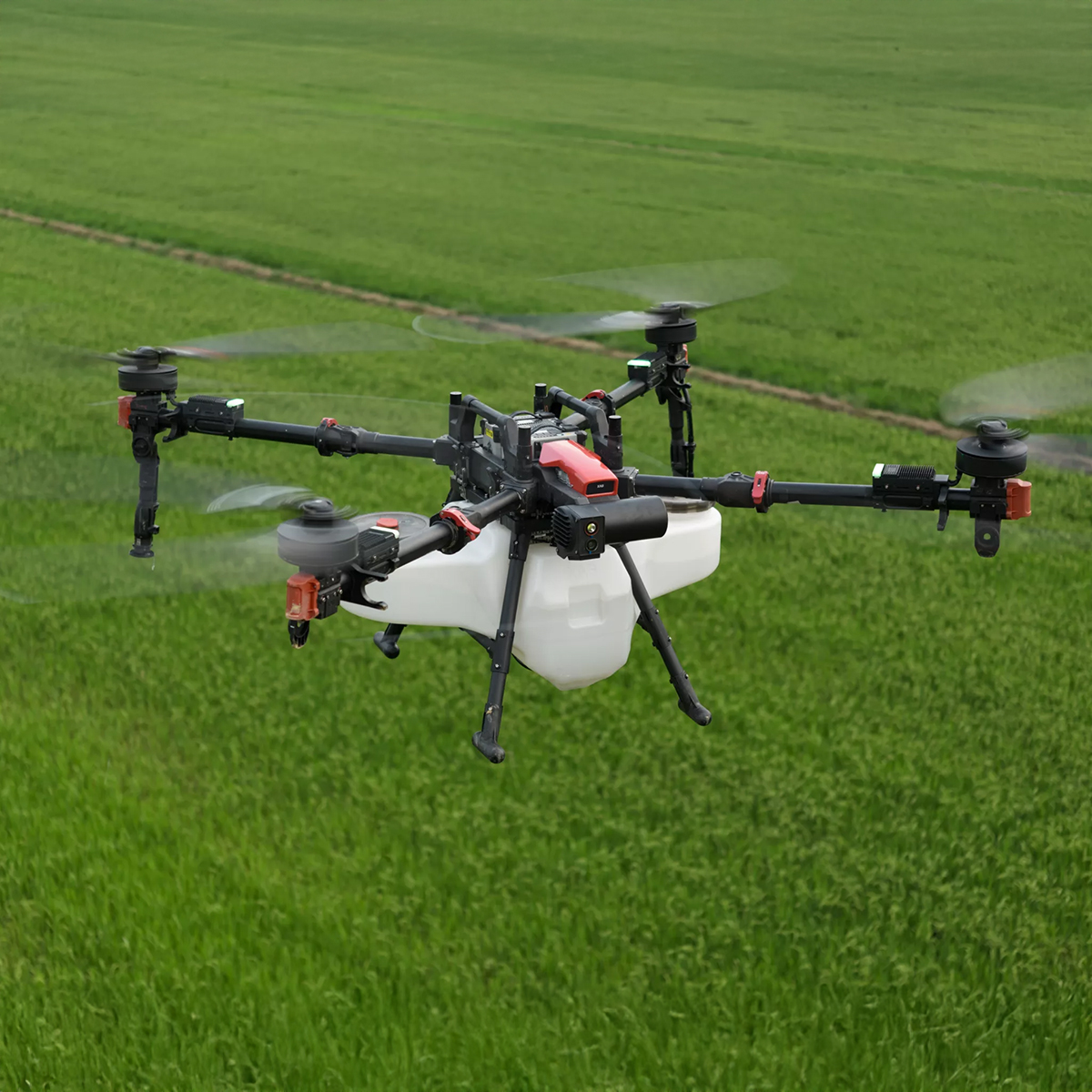
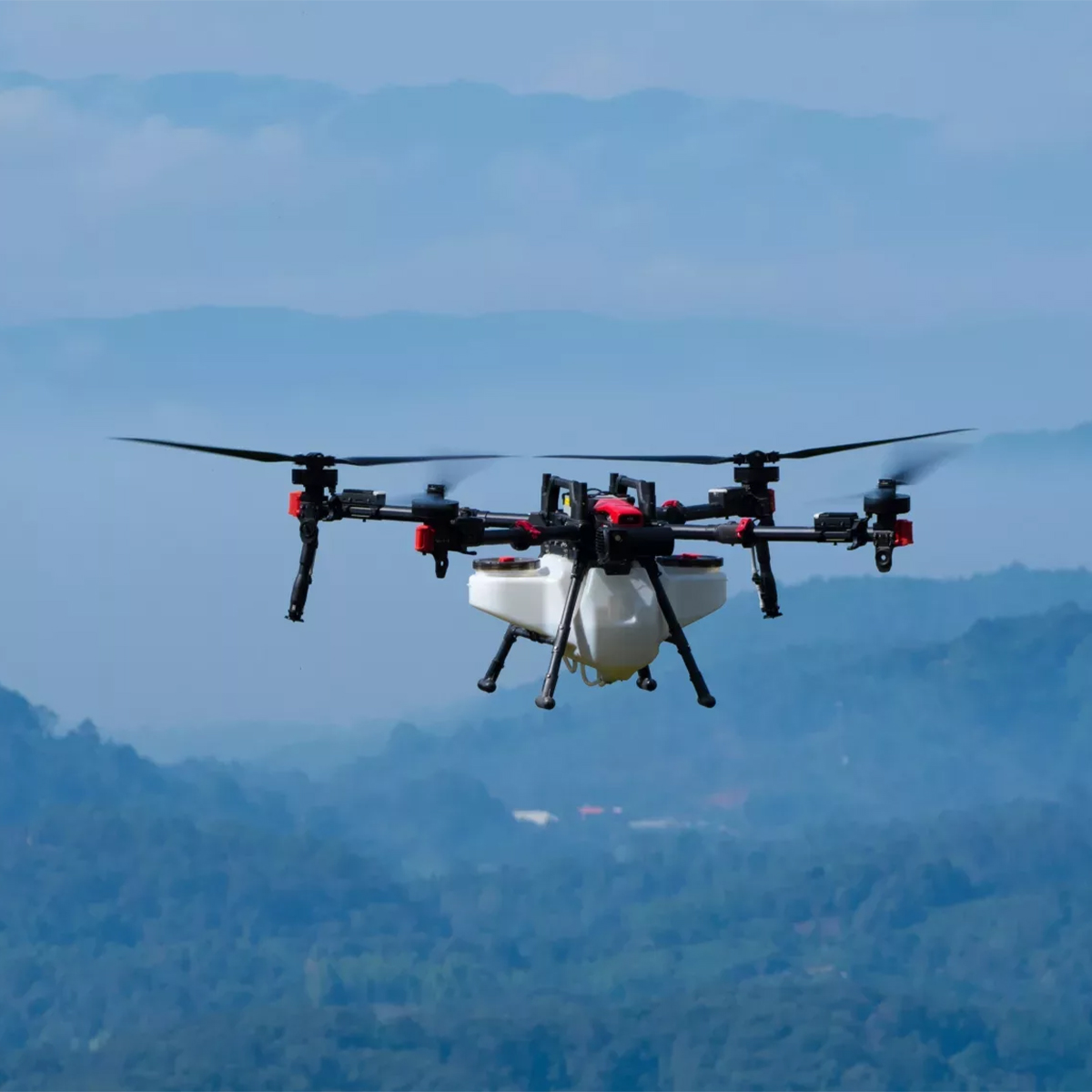
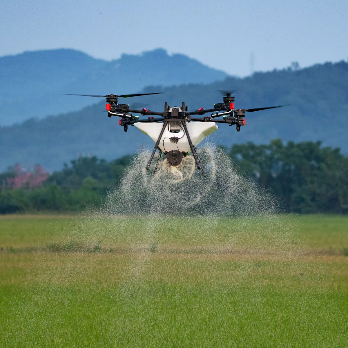
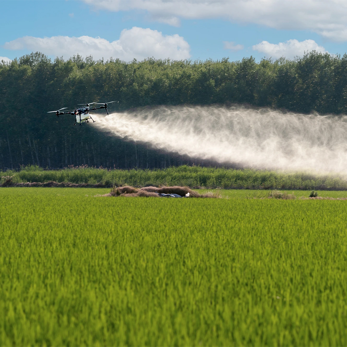

XAG 09-007-00148 P150 Agricultural Drone
Call for PriceXAG 09-007-00148 P150 Agricultural Drone
The Next-Level Efficiency
The XAG P150 is the ultimate agricultural drone designed for spraying, spreading, and field mapping. With a 70 kg maximum payload, it takes efficiency to the next level, helping you farm more sustainably and optimizing inputs.Quick View -
Yellow Hard Hat
Call for Price
Yellow Hard Hat
Call for PriceQuick View -

YellowScan Mapper (Version 3) YM3CAMKIT & Single Camera Module 20MP
Call for Price


YellowScan Mapper (Version 3) YM3CAMKIT & Single Camera Module 20MP
Call for PriceYellowScan Mapper
Jump into LiDAR revolution.Easy mapping redefined. Start your LiDAR journey with our easy-to-use Mapper system. Its low weight, mid-range capability, top-end point density, as well as advanced accuracy and precision, make this LiDAR system the best value for money. Then add the Sony APS-C size Exmor™ CMOS image sensor with a BIONZ X™ processor to produce high-precision 20 MP images.
Quick View -
YellowScan Mapper (Version 3) YSM3KIT15 Integrated System
Call for Price YellowScan Mapper (Version 3) YSM3KIT15 Integrated System
Call for PriceYellowScan Mapper
Jump into LiDAR revolution.Easy mapping redefined. Start your LiDAR journey with our easy-to-use Mapper system. Its low weight, mid-range capability, top-end point density, as well as advanced accuracy and precision, make this LiDAR system the best value for money.
Quick View -

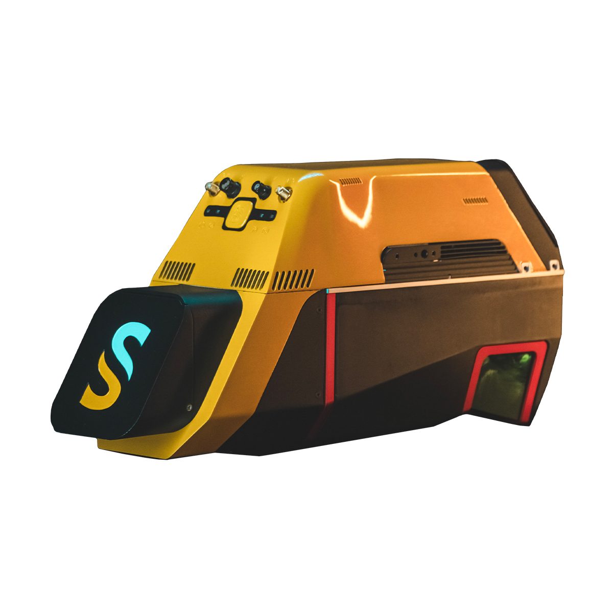
YellowScan Mapper+ (Version 3) YSM3+KIT Integrated System
Call for Price


YellowScan Mapper+ (Version 3) YSM3+KIT Integrated System
Call for PriceYellowScan Mapper+
Small & compact. Mighty & powerful.Advanced performance fitted into a compact survey solution. The YellowScan Mapper+ is an efficient 3 echoes, high-density LiDAR system for all mapping applications.
Quick View -

YellowScan Navigator YSNVGTRKIT
Call for Price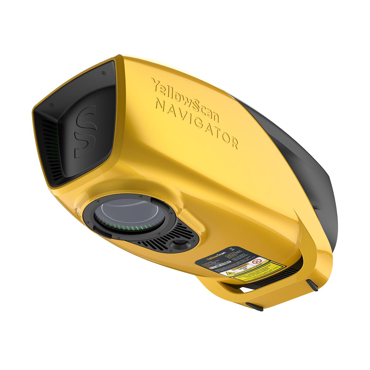
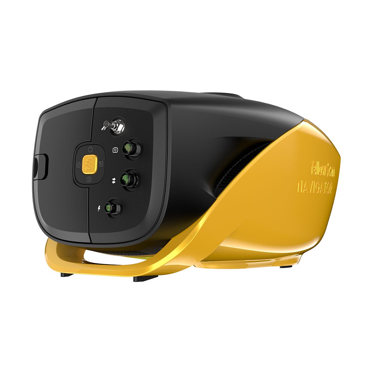
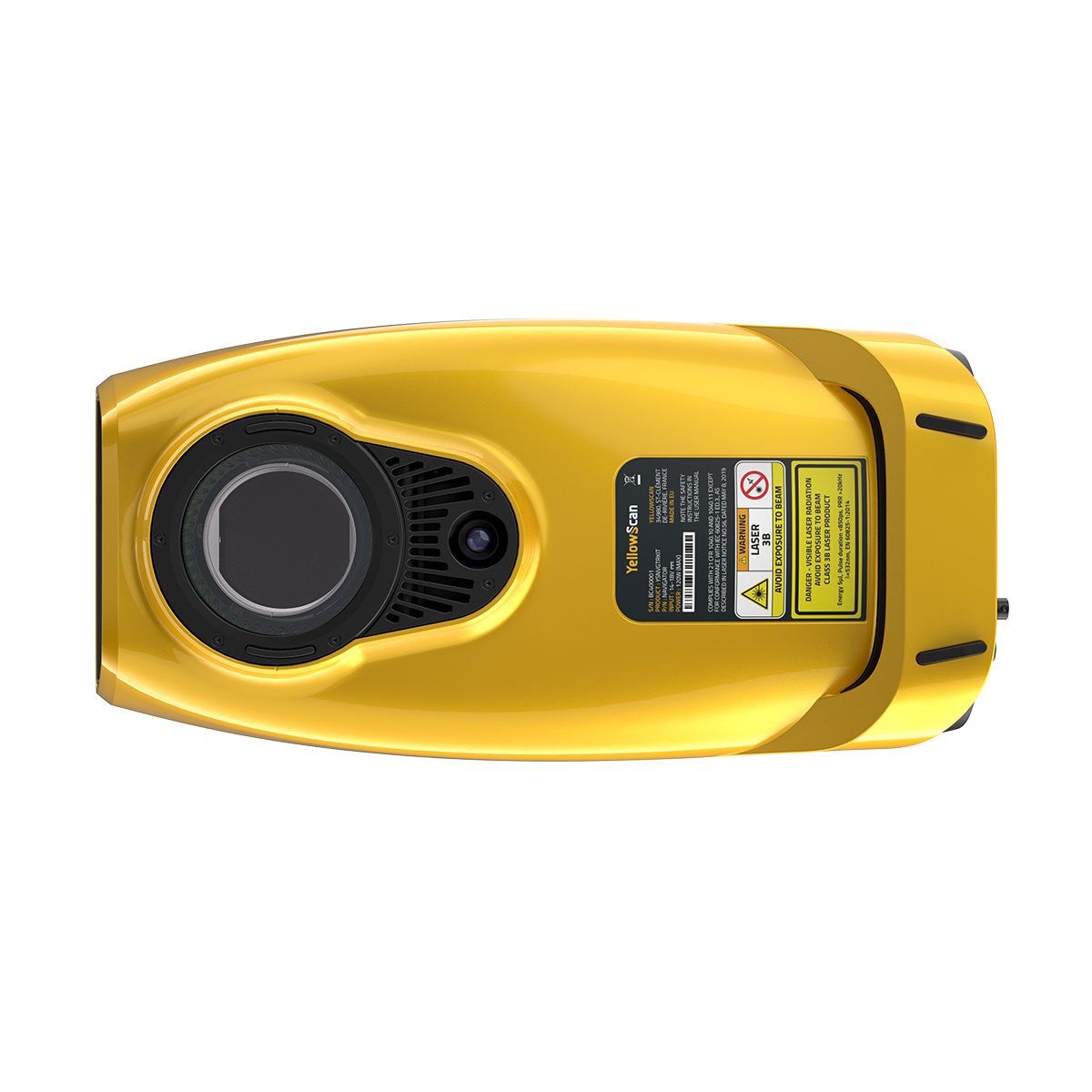
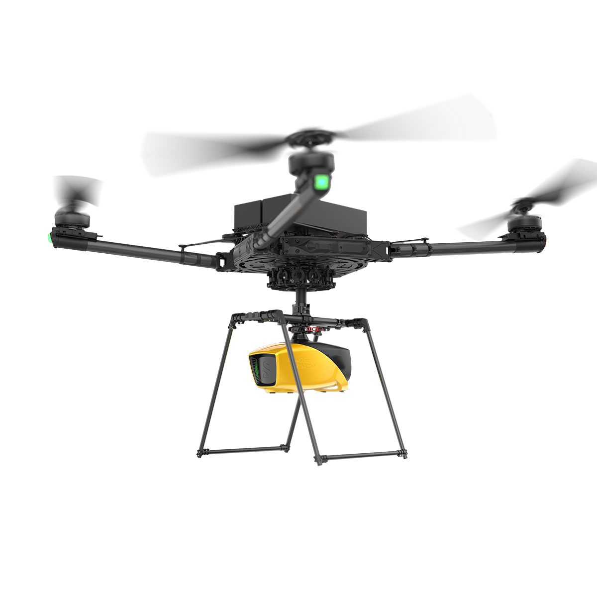
YellowScan Navigator YSNVGTRKIT
Call for PriceYellowScan Navigator
Depths to heights: operating bathymetric LiDAR with one button.The YellowScan bathymetric LiDAR is an innovative solution for exploring underwater and ground topography with a single-button operation. Its lightweight design allows for versatile platform selection without compromising water penetration.
Quick View -
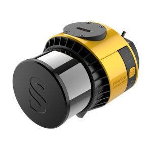
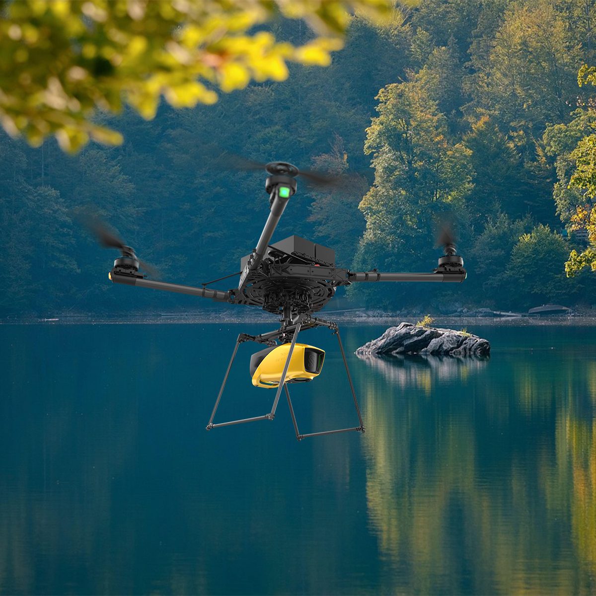
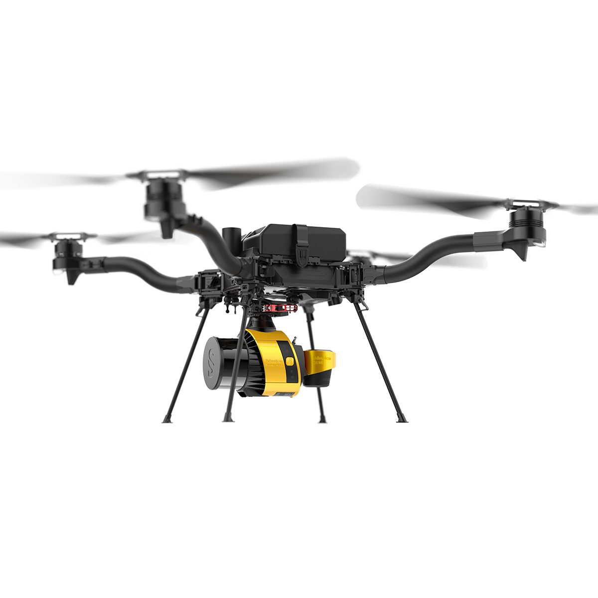
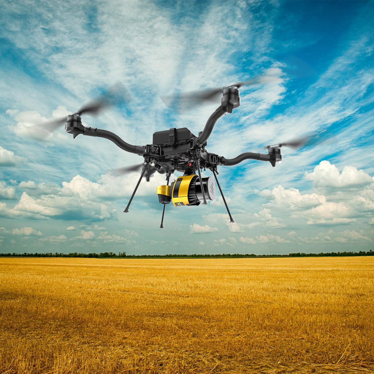
YellowScan Surveyor Ultra 3 YSSVKIT30 Integrated System
Call for Price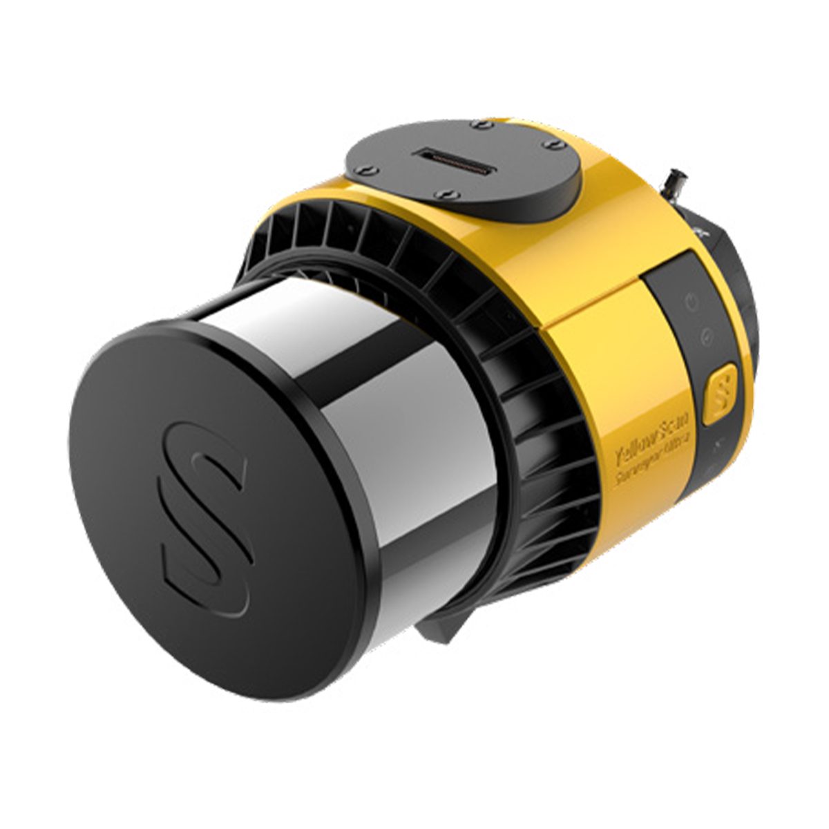
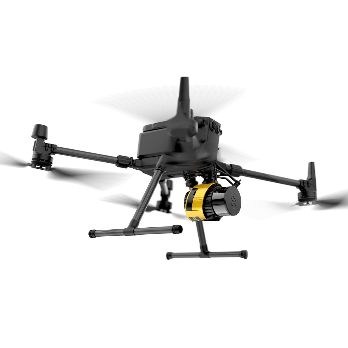
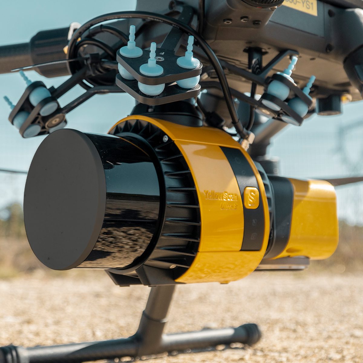
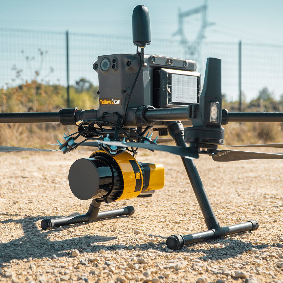
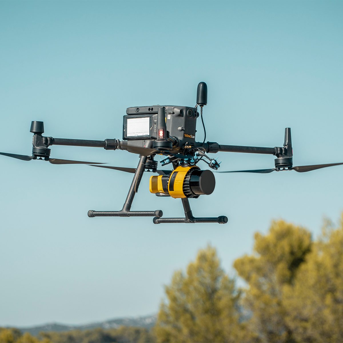
YellowScan Surveyor Ultra 3 YSSVKIT30 Integrated System
Call for PriceYellowScan Surveyor Ultra
Affordability. Flexibility. Productivity.
The YellowScan Surveyor Ultra marks a new generation of YellowScan LiDAR systems integrating SBG Systems’ IMU, combined with an integrated RGB camera for colorization purposes. Combining light weight and high density, its flexiblity makes a great addition anywhere.
Quick View -

YellowScan Surveyor Ultra 3 YSV3SCAM61KIT & Single Camera Module 61MP
Call for Price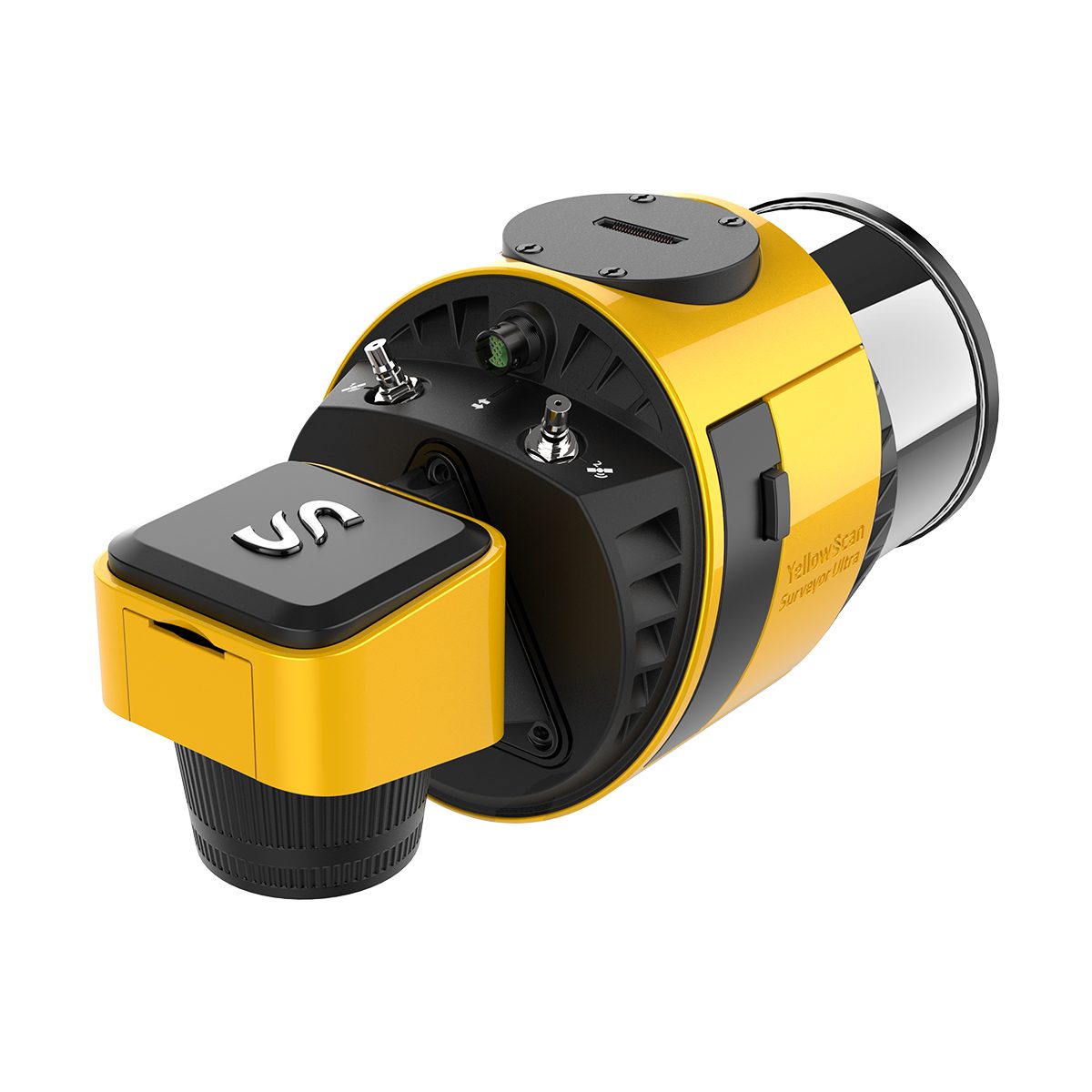
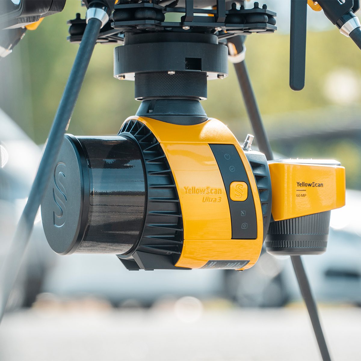
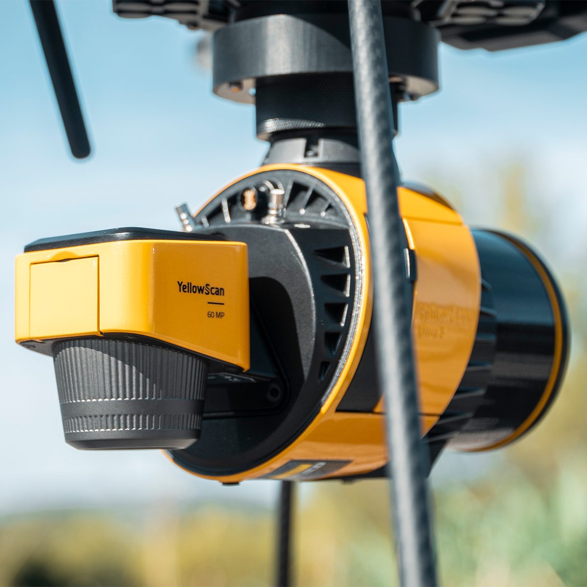
YellowScan Surveyor Ultra 3 YSV3SCAM61KIT & Single Camera Module 61MP
Call for PriceYellowScan Surveyor Ultra & Single Camera Module 61MP
Lightweight 360° LiDAR System for UAV Integration
Affordability. Flexibility. Productivity.
The YellowScan Surveyor Ultra marks a new generation of YellowScan LiDAR systems integrating SBG Systems’ IMU, combined with an integrated RGB camera for colorization purposes. Combining light weight and high density, its flexibility makes a great addition anywhere. Add the Sony Full-Frame CMOS image sensor to produce combined high-precision 61MP images.
Quick View -

YellowScan Venturer YSVENTKIT-AP LiDAR System
Call for Price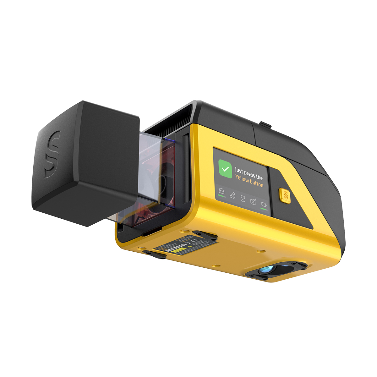
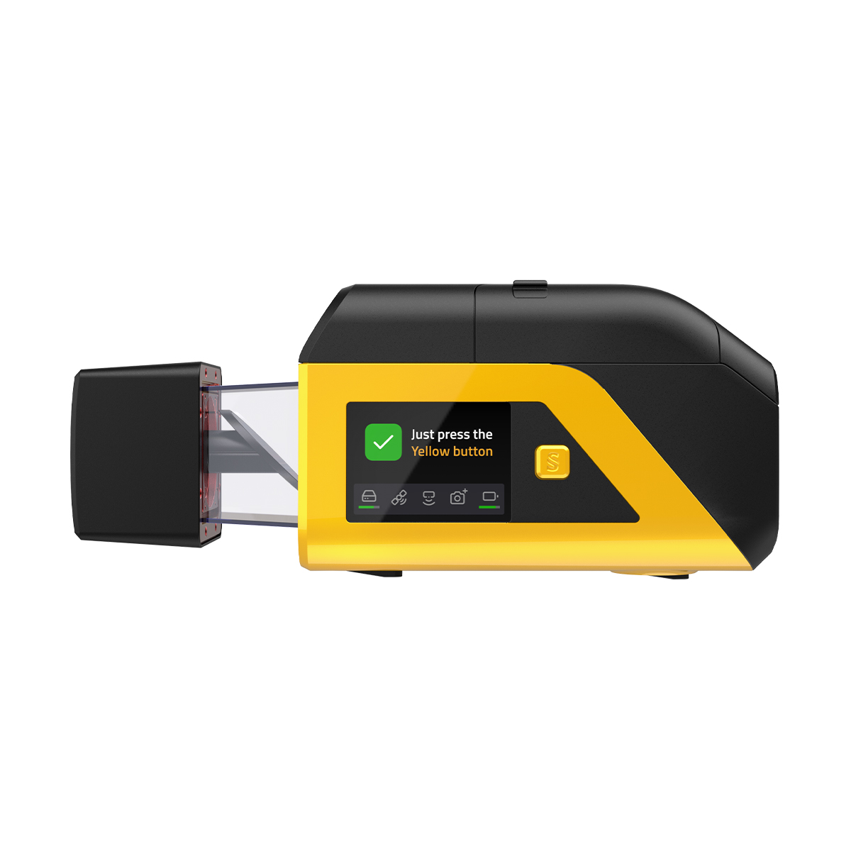

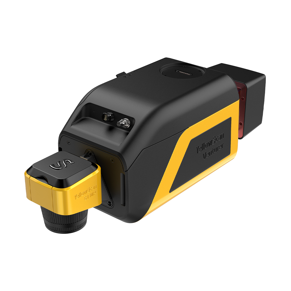
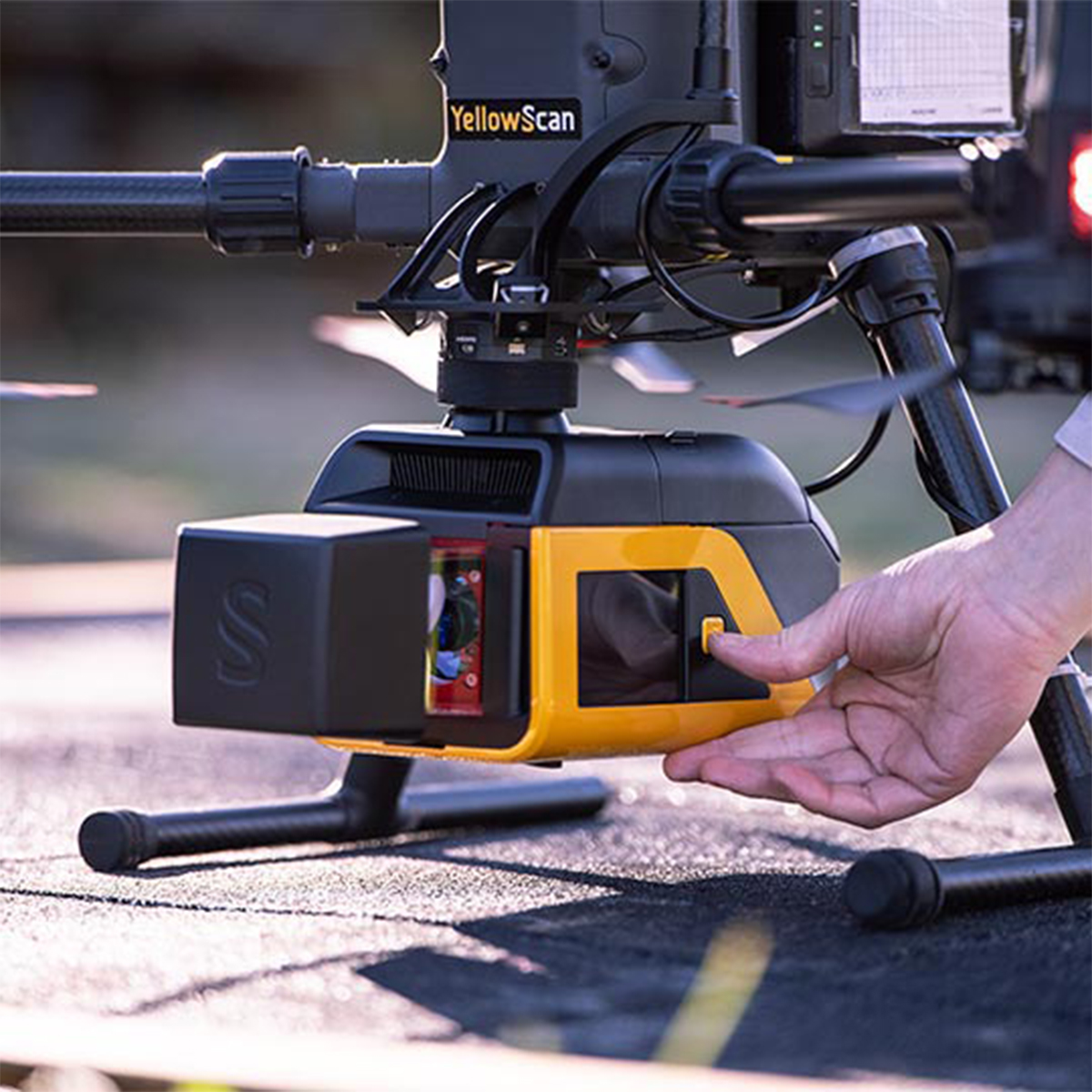
YellowScan Venturer YSVENTKIT-AP LiDAR System
Call for PriceYellowScan Venturer YSVENTKIT-AP LiDAR System
Confidence When it Matters Most
Built for survey and government missions where there is no second chance to fly, the YellowScan Venturer is an NDAA-compliant, survey-grade LiDAR system designed to remove uncertainty in the field. It gives teams confidence at takeoff, reliable results and full control over locally processed data through our dedicated CloudStation software.
Quick View -

YellowScan Voyager 50 YSVXKIT51 Integrated System
Call for Price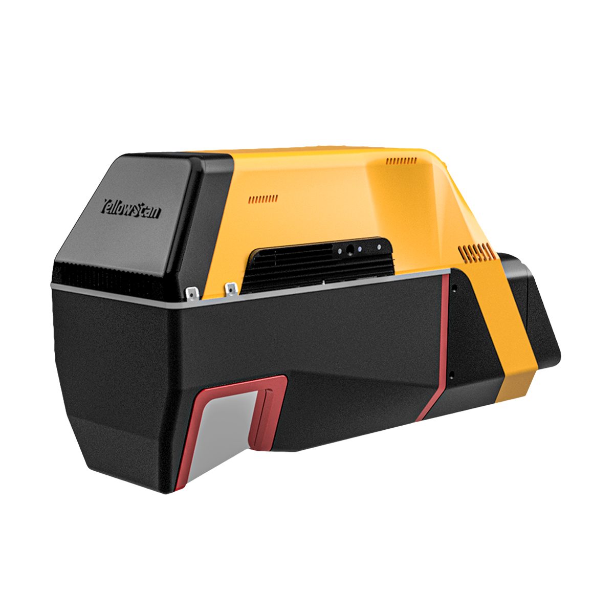

YellowScan Voyager 50 YSVXKIT51 Integrated System
Call for PriceYellowScan Voyager
Precision meets reality.Complete more mission profiles with the YellowScan Voyager. The Voyager’s 100° FOV laser scanner and its extremely fast data acquisition rate of up to 2400 kHz while keeping top-of-the-line precision and accuracy makes this solution the best option for projects requiring both high density and quality.
Quick View -
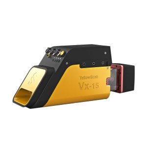
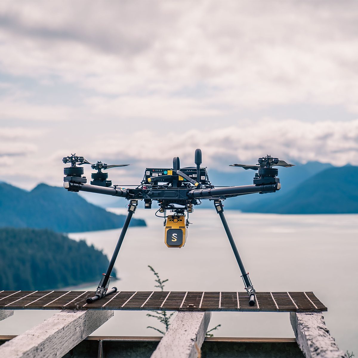
YellowScan Vx15-100 YSVXKIT11 Integrated System
Call for Price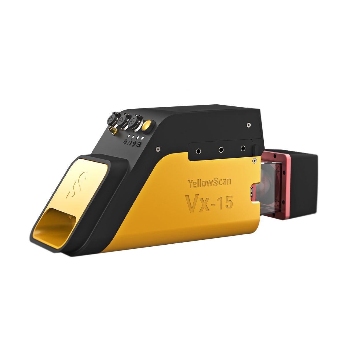
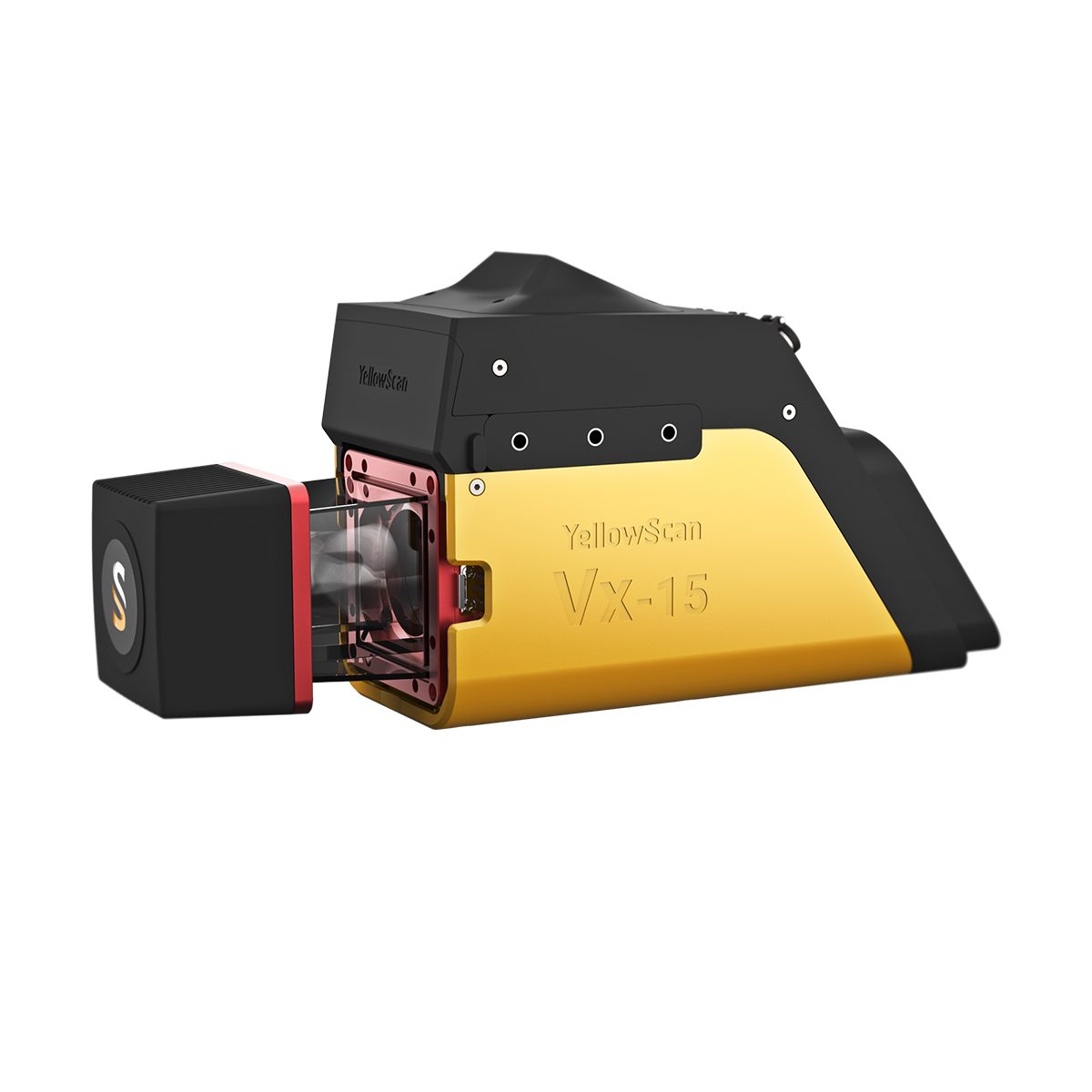
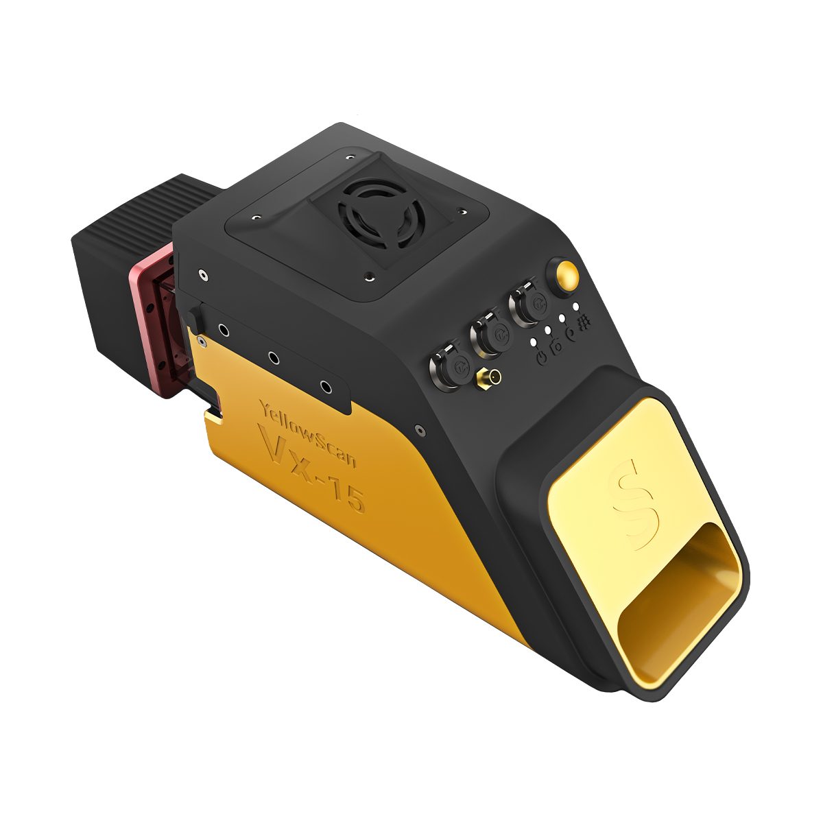
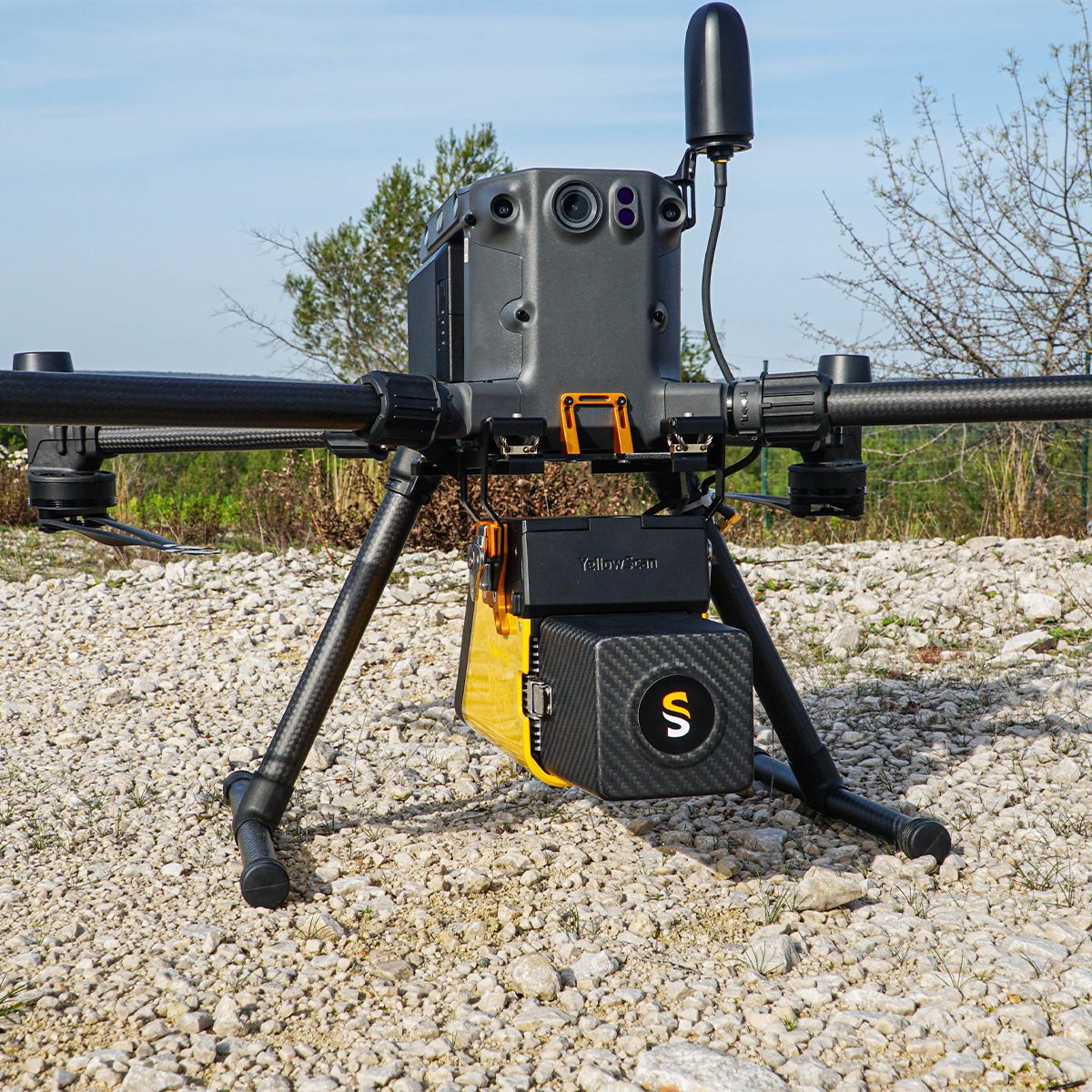

YellowScan Vx15-100 YSVXKIT11 Integrated System
Call for PriceYellowScan Vx15 Series
The long range & high precision UAV LiDAR solution.YellowScan Vx15 is the lightest system integrating the Riegl Mini-VUX. Ideally suited for high precision surveys such as civil engineering. Coupled with the DJI M300 it allows over 25 min flight time maximizing your survey production.
Quick View -
YellowScan Vx15-300 YSVXKIT13 Integrated System
Call for Price YellowScan Vx15-300 YSVXKIT13 Integrated System
Call for PriceYellowScan Vx15 Series
The long range & high precision UAV LiDAR solution.YellowScan Vx15 is the lightest system integrating the Riegl Mini-VUX. Ideally suited for high precision surveys such as civil engineering. Coupled with the DJI M300 it allows over 25 min flight time maximizing your survey production.
Quick View