

Search results: “lidar sensors” – Page 2
Showing 25–48 of 100 results
-
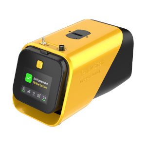
YellowScan YSMPULKIT-SB Mapper Ultra
Call for Price



YellowScan YSMPULKIT-SB Mapper Ultra
Call for PriceYellowScan YSMPULKIT-SB Mapper Ultra
Map Faster. Go Further. See Through.The YellowScan Mapper Ultra is designed for high-performance aerial mapping. With long-range capability, lightweight design, and high-altitude efficiency, it enables professionals to cover large areas faster. Its powerful multi-echo technology ensures sharp data and outstanding vegetation penetration, making it ideal for demanding corridor mapping projects.
Quick View -
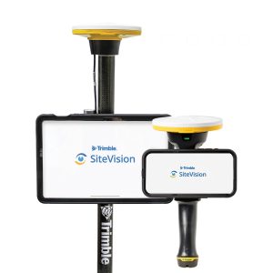
Trimble TSV-YR-GEO-NR SiteVision Augmented Reality Unlimited – Annual Subscription
Call for Price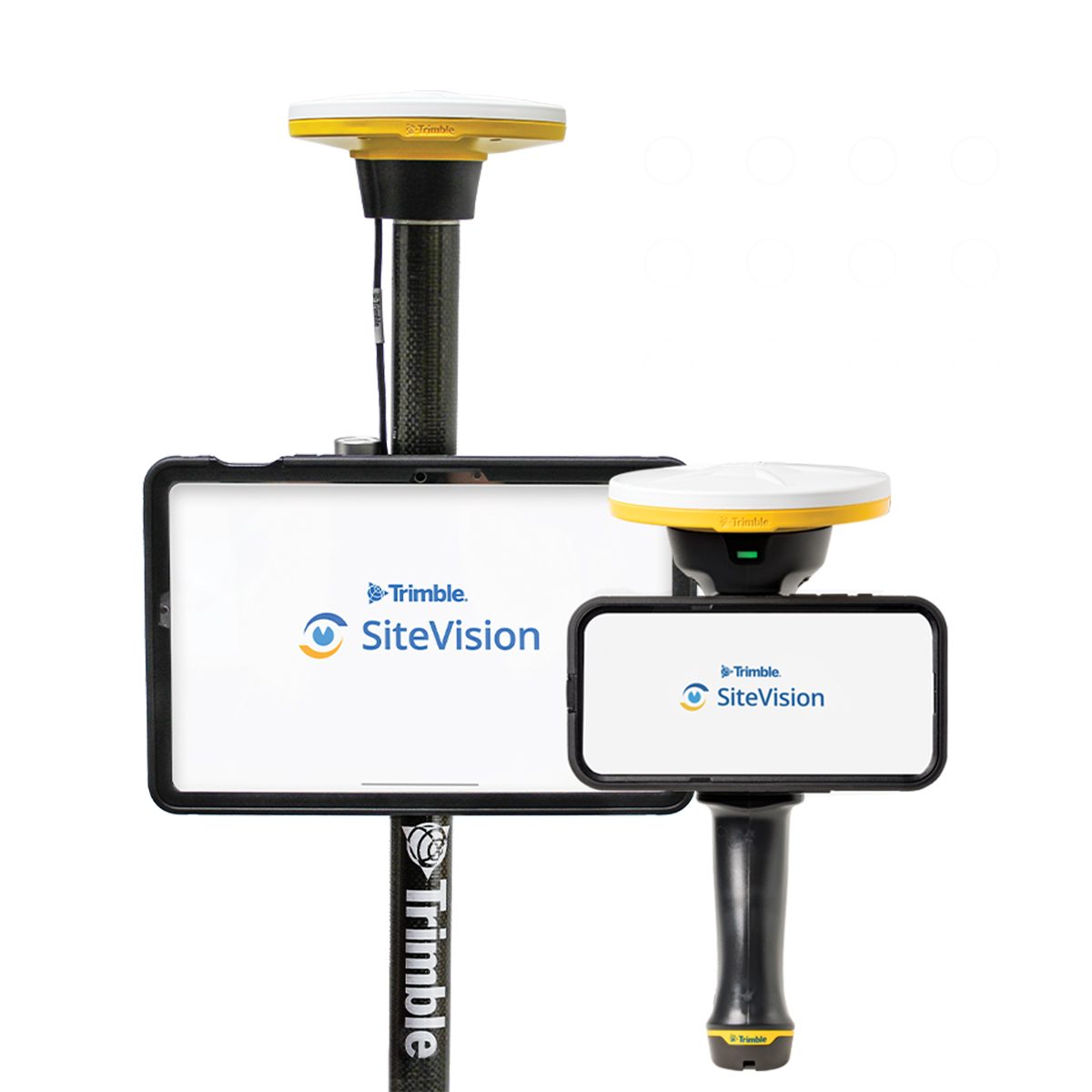
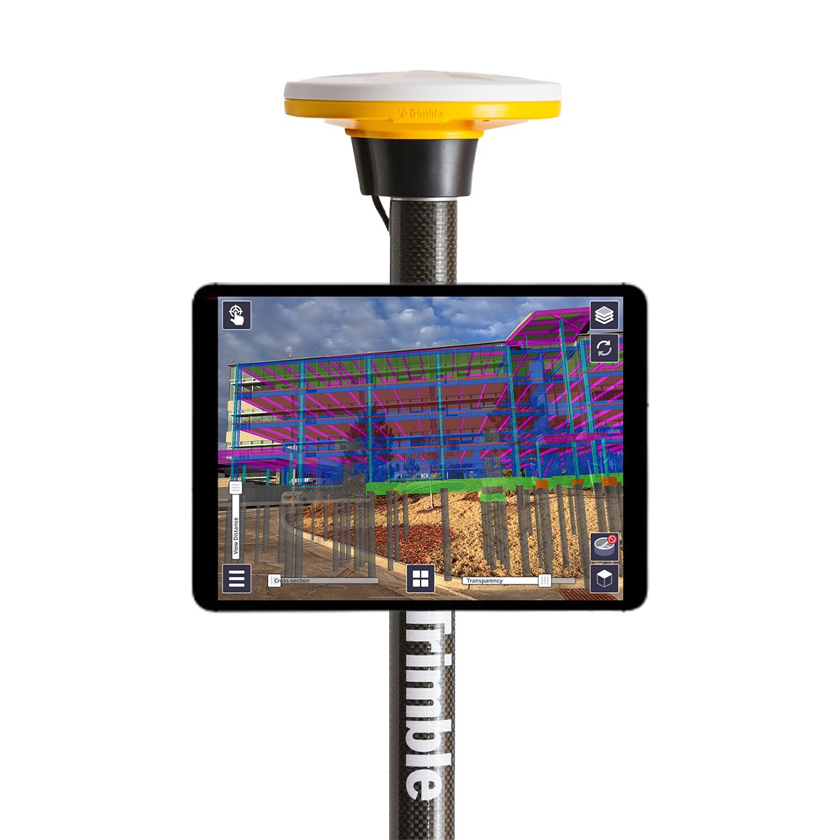
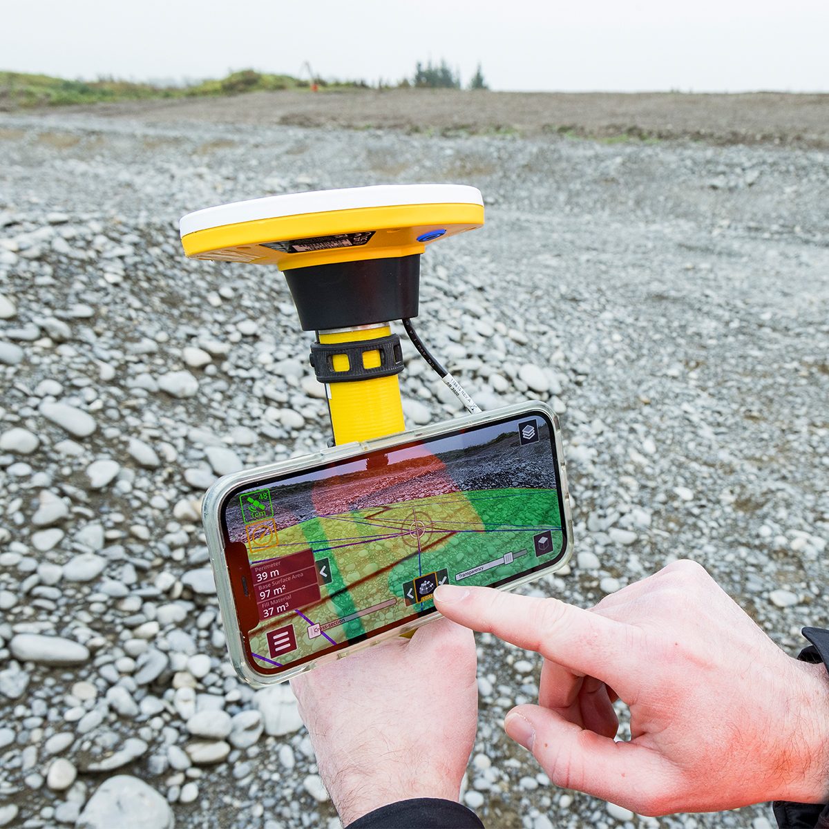
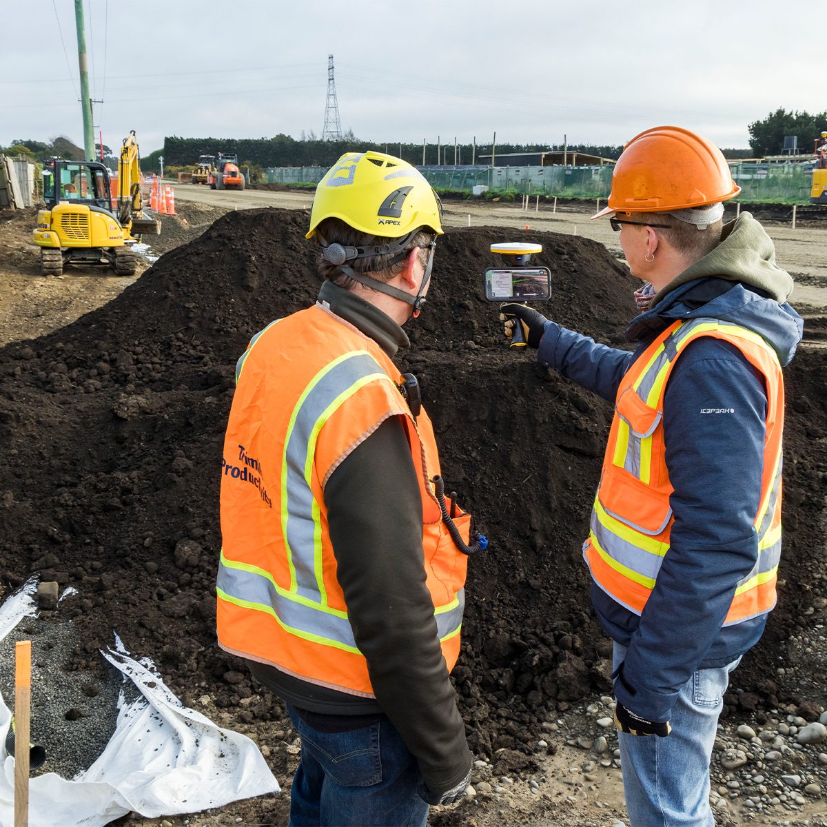
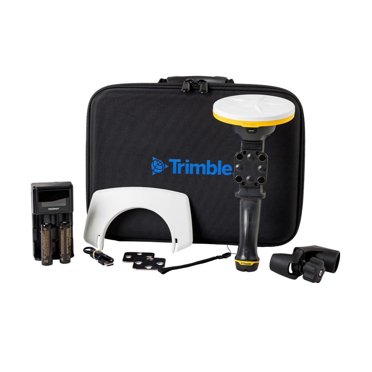
Trimble TSV-YR-GEO-NR SiteVision Augmented Reality Unlimited – Annual Subscription
Call for PriceONLY AVAILABLE FOR DELIVERY IN ND, SD, MN, CO, AK, MT, ID, HI, WY, OR, & WA.Trimble TSV-YR-GEO-NR SiteVision Augmented Reality Unlimited – Annual Subscription
Augmented Reality | Trimble SiteVision
Instant visualization for immediate insights.Trimble® SiteVision® is a real-time, in-field visualization software for collaborating on project progress and detecting design changes or conflicts. Choose your hardware configuration to collect images, GNSS points, EDM points or LiDAR scans.Quick View -
Freefly LR1 Laser Range Finder Upgrade
Call for Price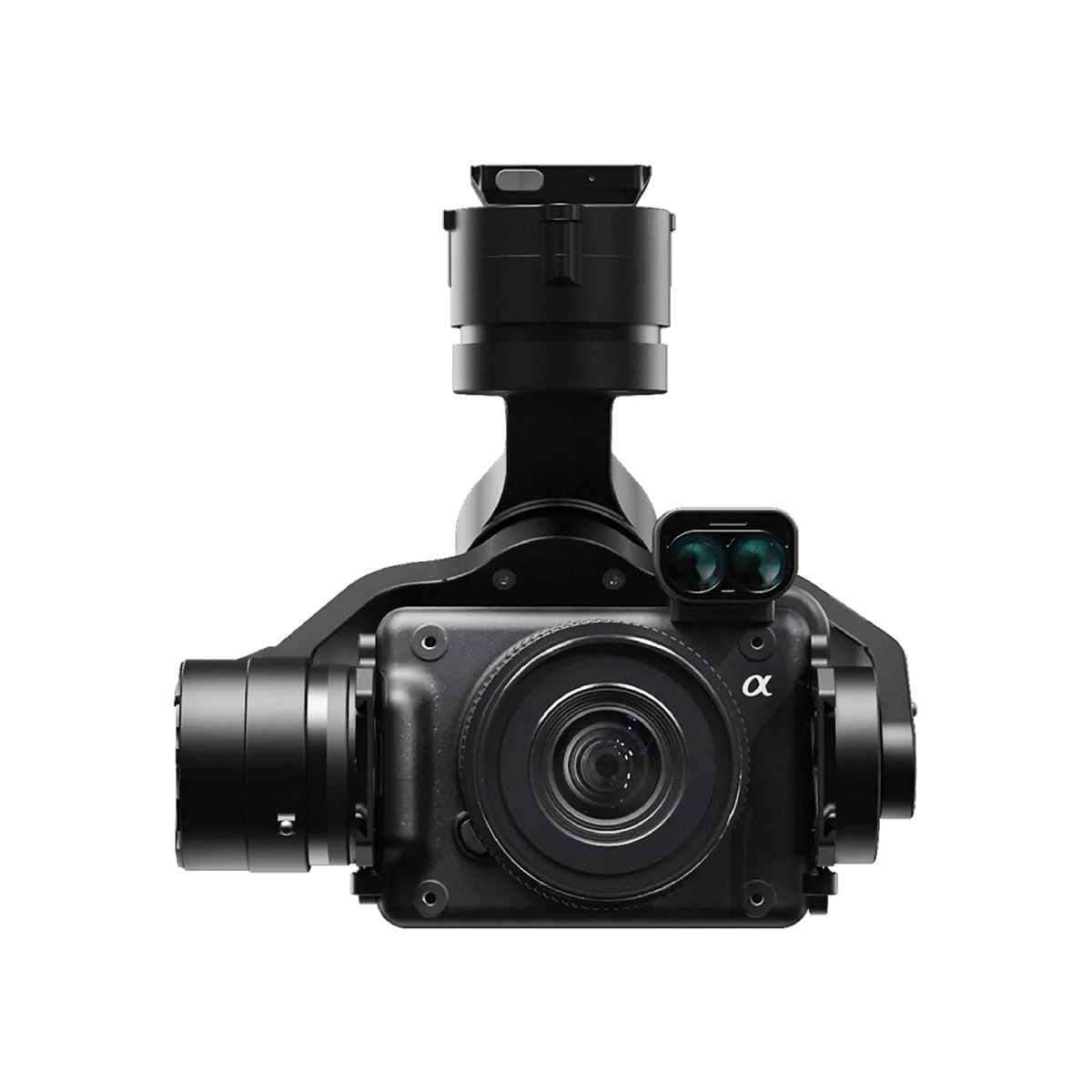
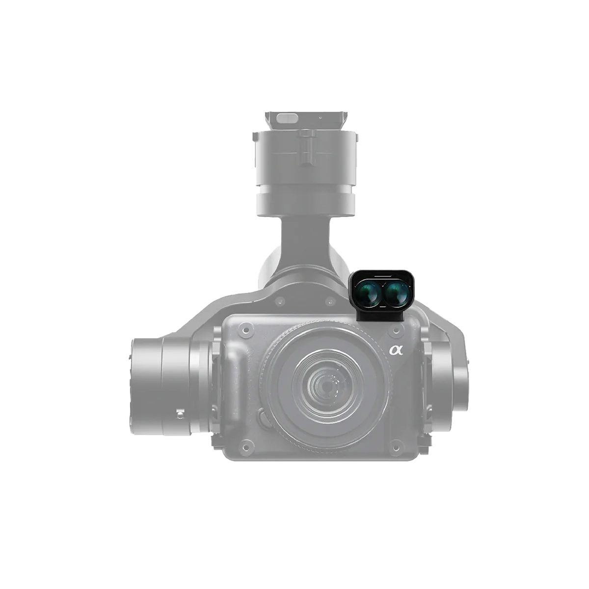

Freefly LR1 Laser Range Finder Upgrade
Call for PriceQuick View -

Autel Robotics EVO II Dual 640T V3 Enterprise Bundle
Call for Price


Autel Robotics EVO II Dual 640T V3 Enterprise Bundle
Call for PriceQuick View -
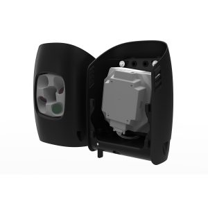
Quantum Systems 4260574665531 Oblique D2M Five-Lens RGB Camera
Call for Price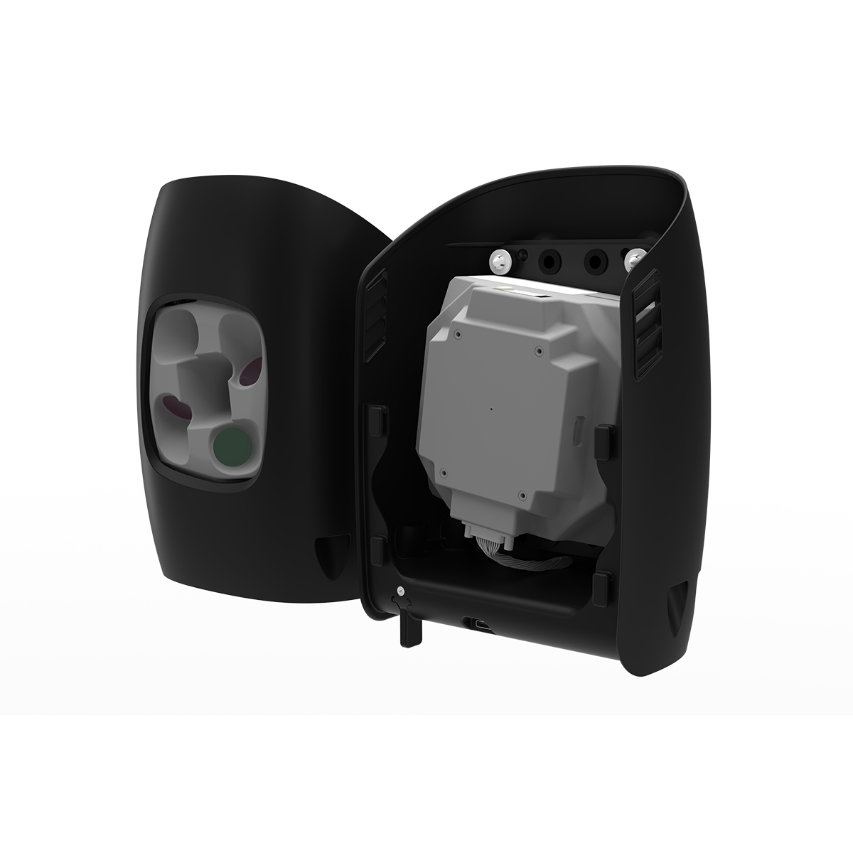
Quantum Systems 4260574665531 Oblique D2M Five-Lens RGB Camera
Call for PriceQuantum Systems 4260574665531 Oblique D2M Five-Lens RGB Camera
The Oblique D2M is a powerful oblique imaging system consisting of five high-resolution multi-directional cameras, making it the ideal tool for large scale 3D photogrammetry. A fast trigger interval along with custom high-speed storage provides class-leading time efficiency without compromising data quality. The payload combines four oblique and one NADIR camera to capture complex geometries with ease. This ensures remarkable detail even on slanted surfaces and makes Oblique D2M destined for 3D mesh generation of high-rise areas, industrial environments, archaeological sites and alike.
Quick View -
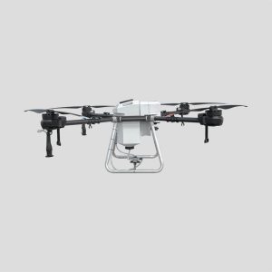
Hylio ARES HYL-150 CP-D-150 Drone
Call for Price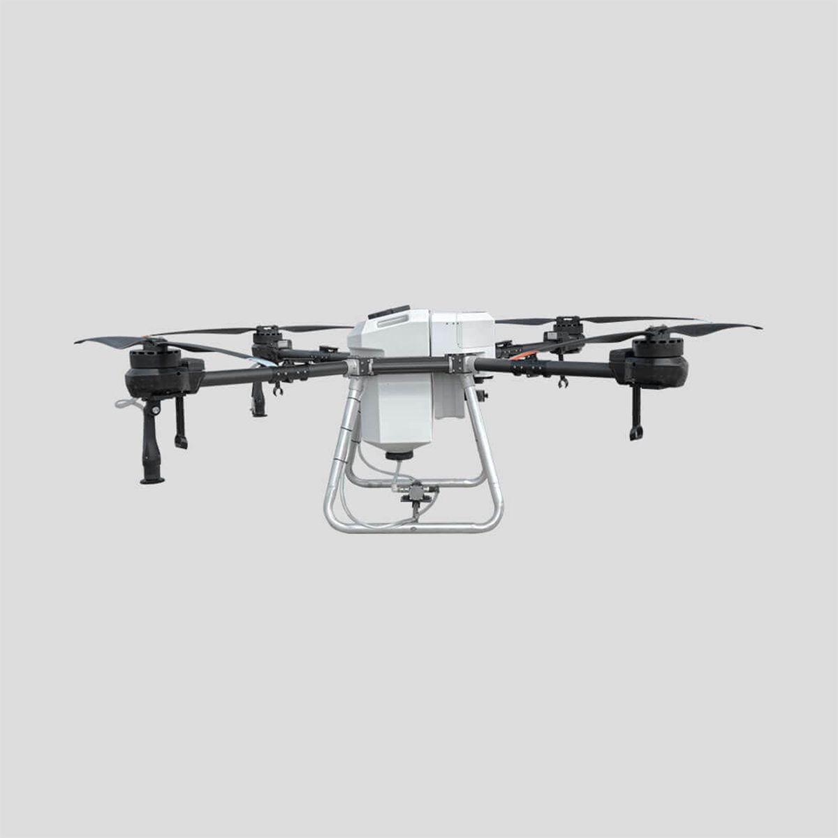
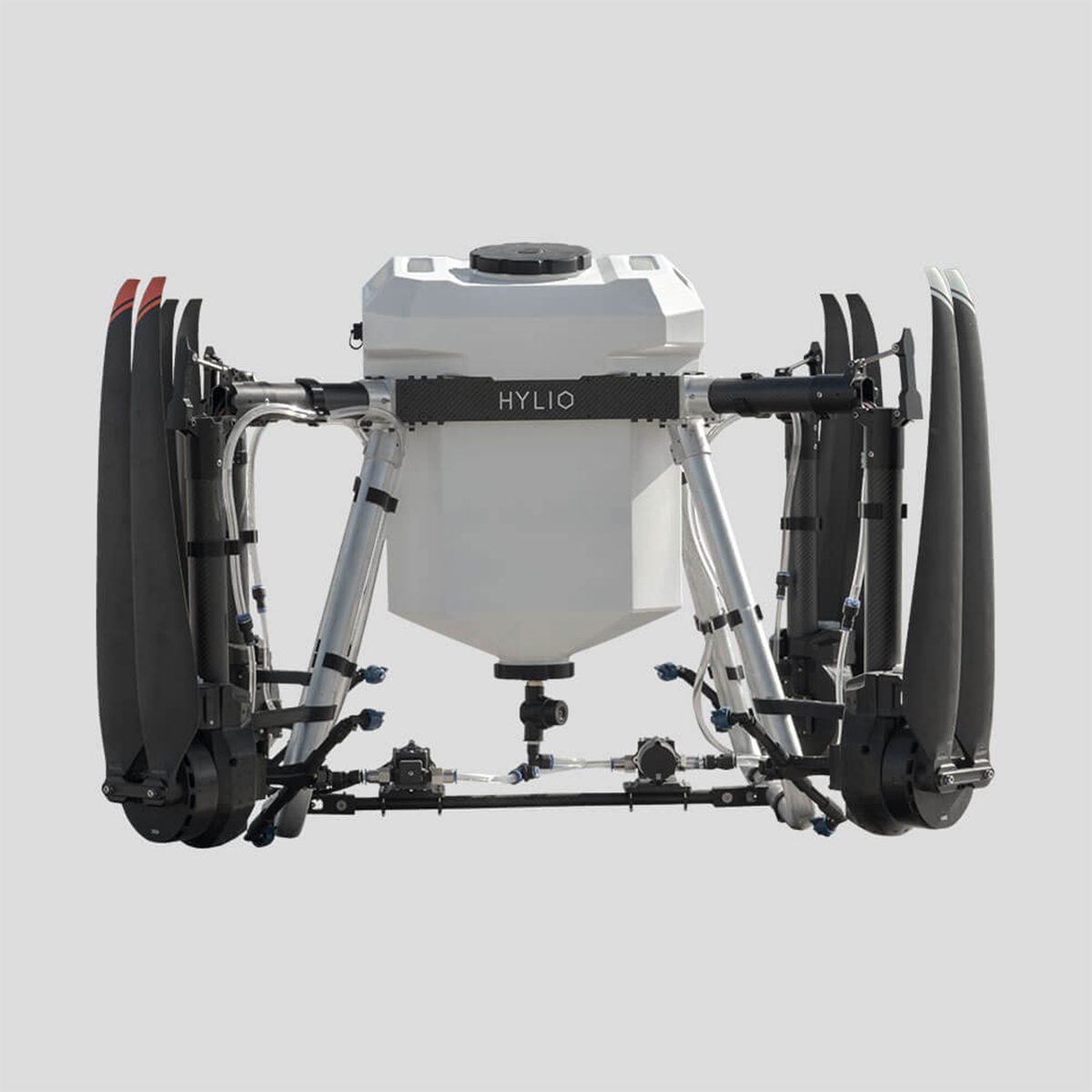
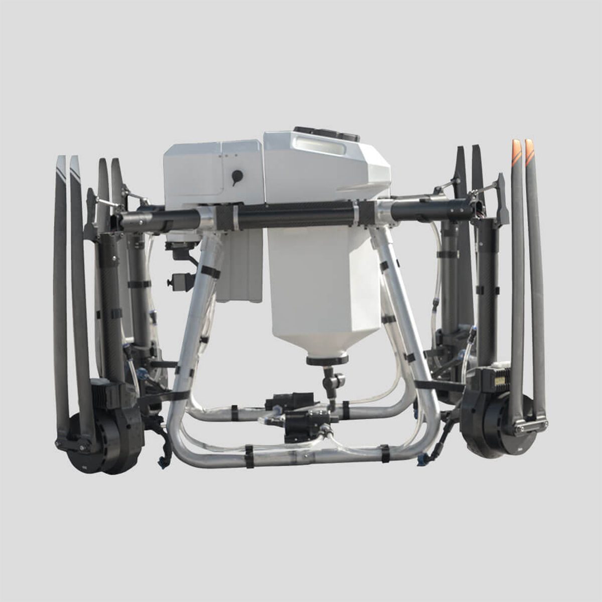
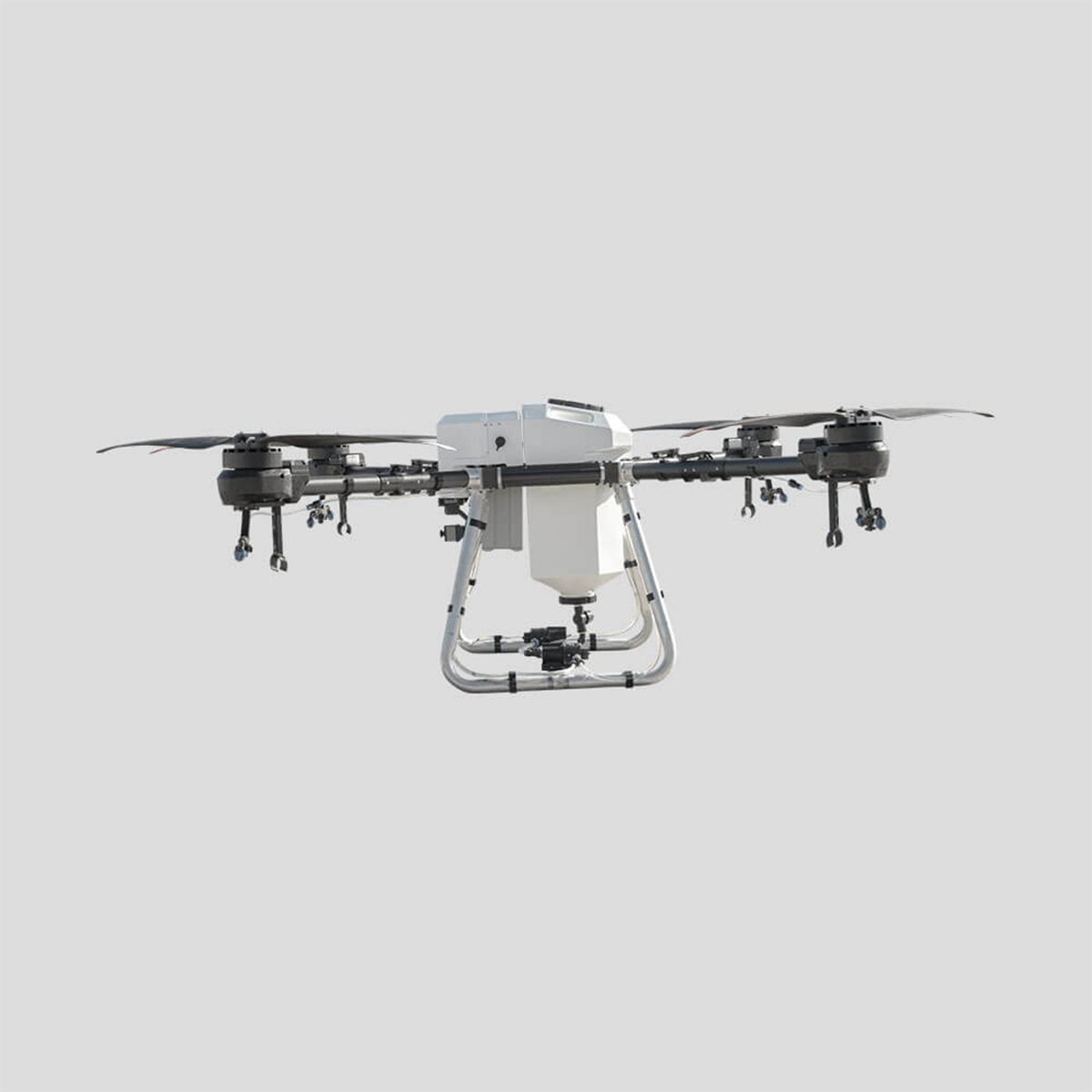
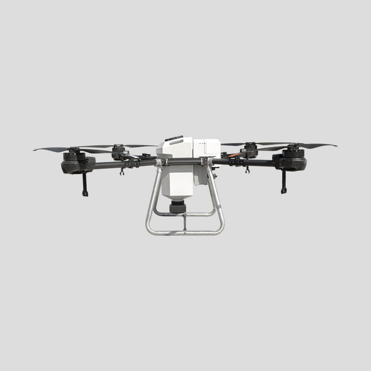
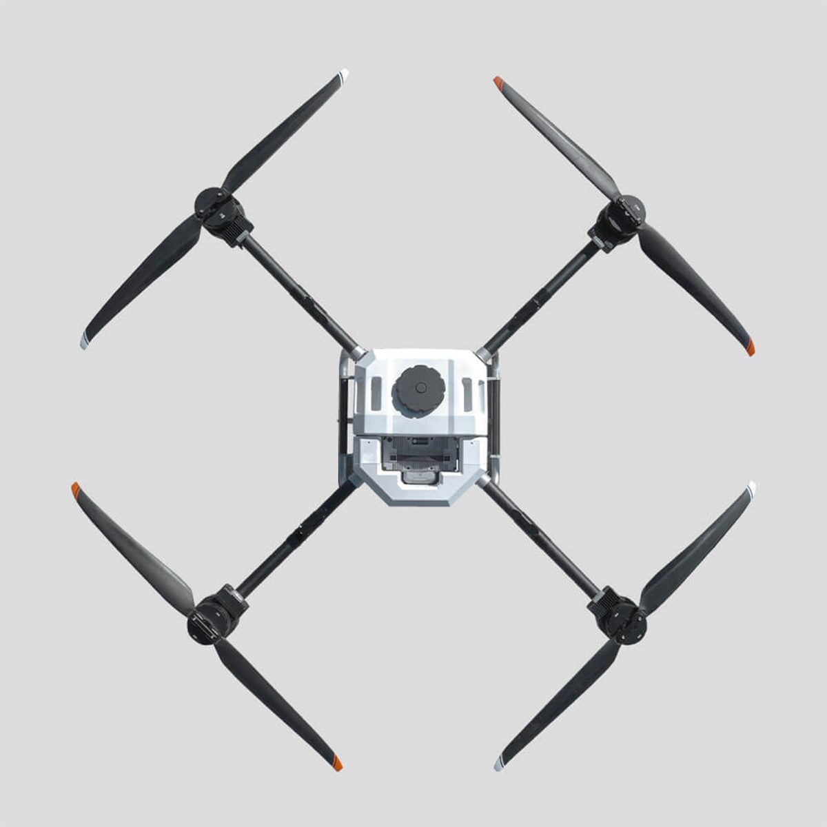
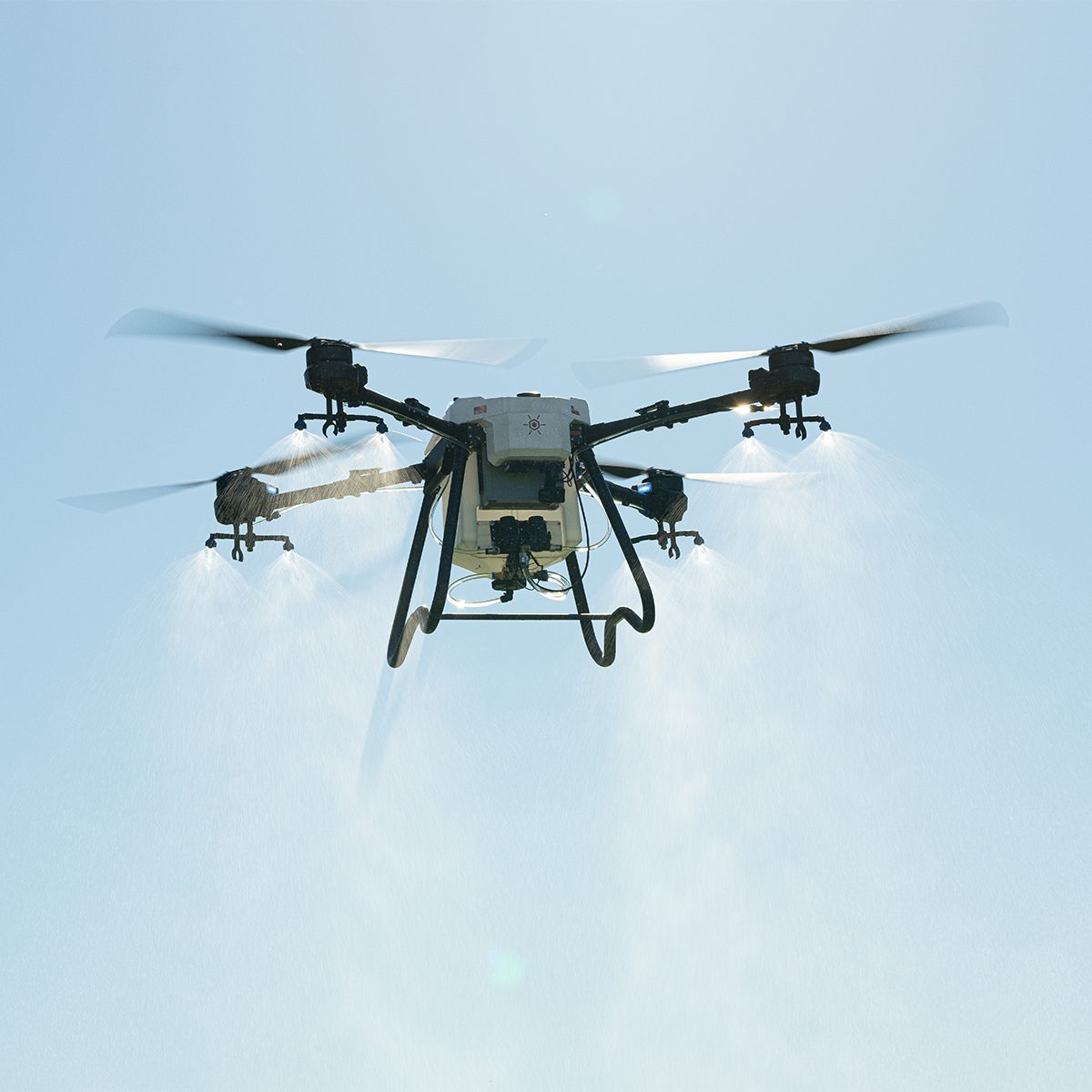
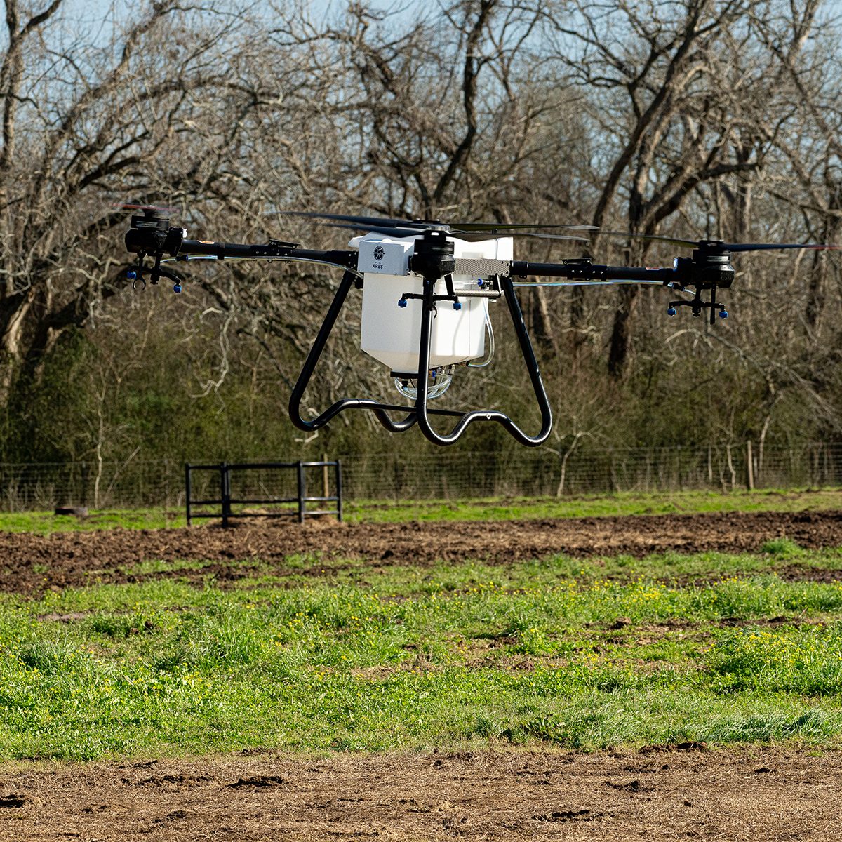
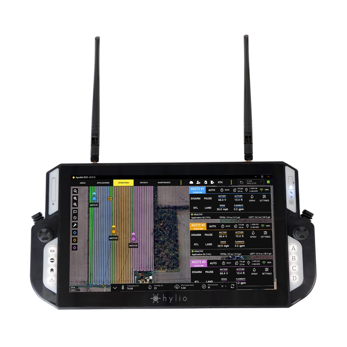
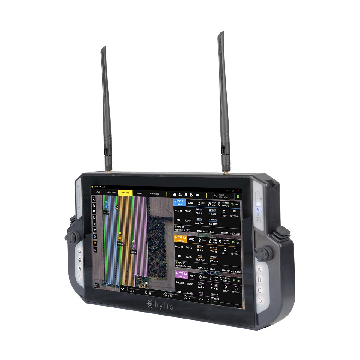

Hylio ARES HYL-150 CP-D-150 Drone
Call for PriceHylio’s Most Advanced System
Designed, engineered, and manufactured from the ground up at Hylio headquarters in Richmond, Texas, the HYL-150 ARES is the result of a decade’s worth of experience in the highly competitive ag-drone sector. Combining a heavy payload, robust and serviceable components, an ergonomic form factor, and Hylio’s swarm-enabling AgroSol Ground Control Software, the ARES checks all of the boxes and is a must have for any serious ag-drone operator.
Quick View -
Phase One P3-100MP For DJI M300: Platinum Package
Call for Price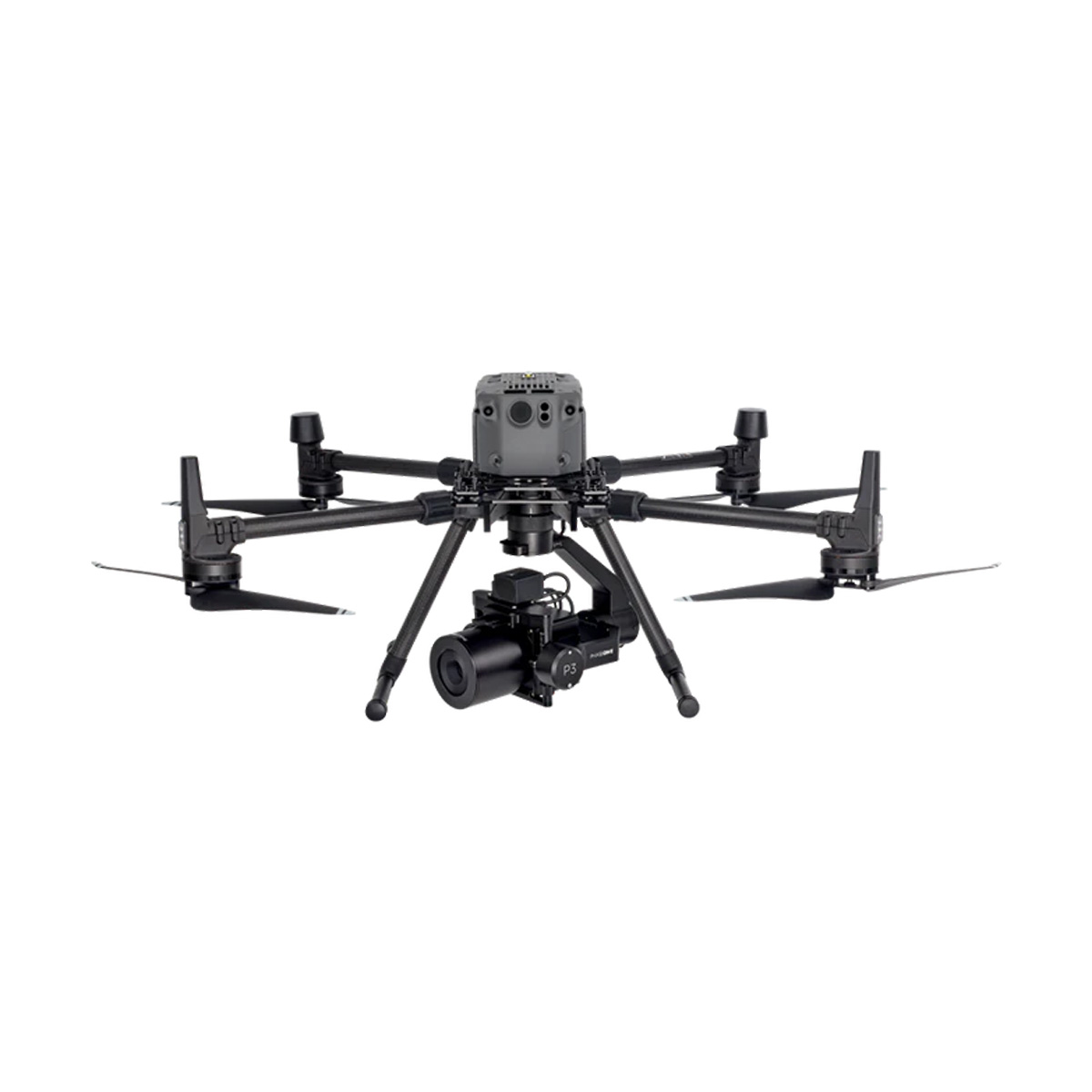
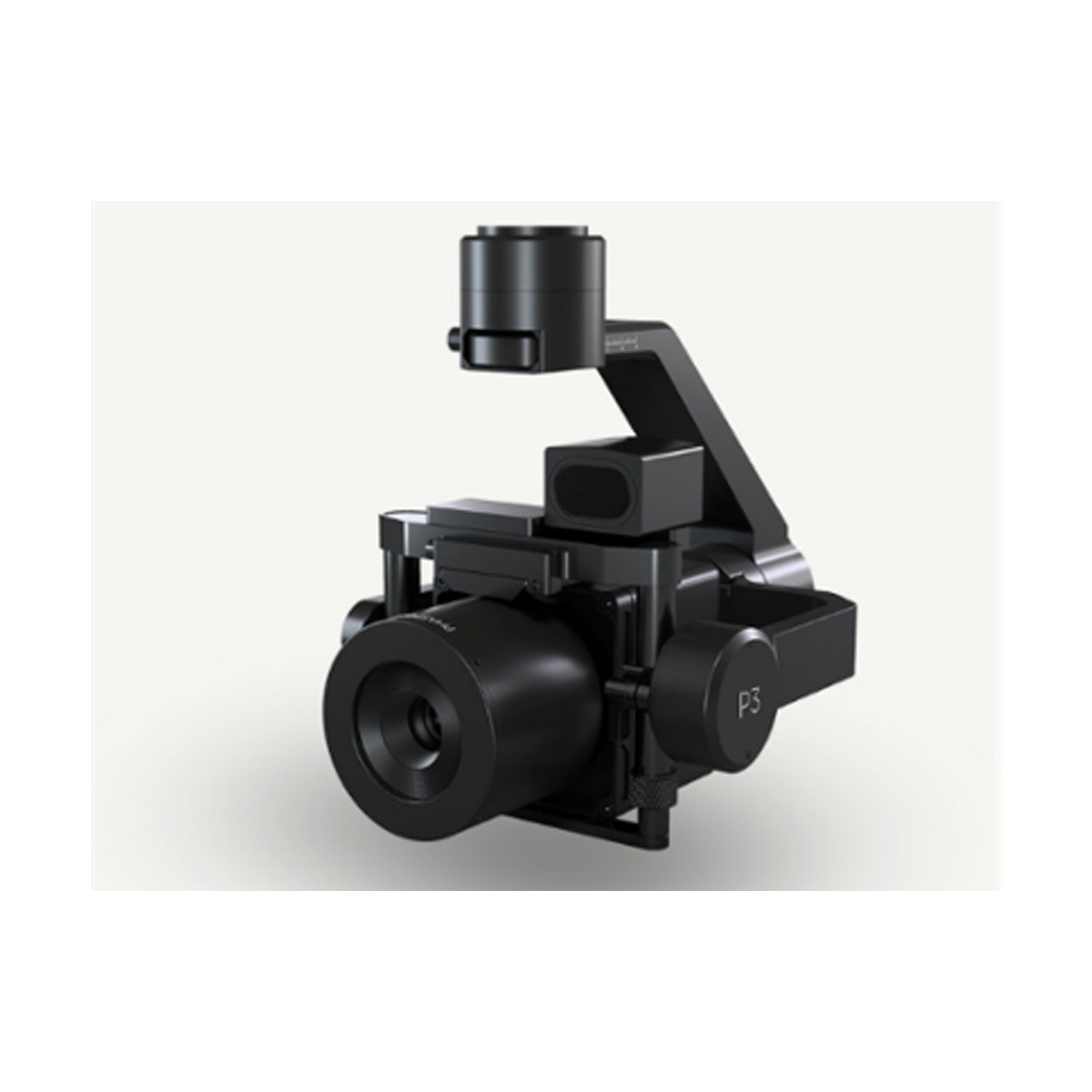
Phase One P3-100MP For DJI M300: Platinum Package
Call for PriceQuick View -

DJI Mavic 3 Multispectral
Call for Price


DJI Mavic 3 Multispectral
Call for PriceSee More, Work Smarter
Effective aerial surveying needs to see the invisible. That’s why Mavic 3 Multispectral has two forms of sight. It combines an RGB camera with a multispectral camera to scan and analyze crop growth with total clarity. Agricultural production management requires precision and data, and Mavic 3M delivers both.Quick View -

YellowScan Voyager 50 YSVXKIT51 Integrated System
Call for Price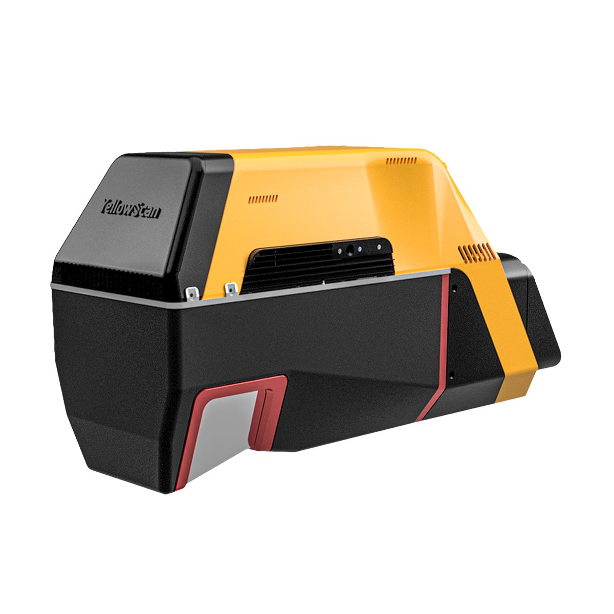
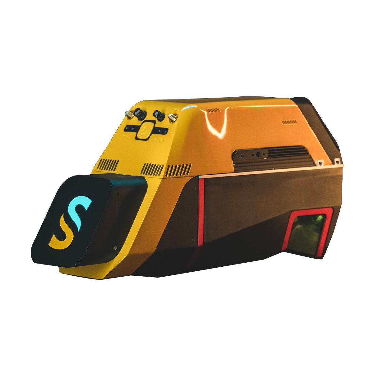



YellowScan Voyager 50 YSVXKIT51 Integrated System
Call for PriceYellowScan Voyager
Precision meets reality.Complete more mission profiles with the YellowScan Voyager. The Voyager’s 100° FOV laser scanner and its extremely fast data acquisition rate of up to 2400 kHz while keeping top-of-the-line precision and accuracy makes this solution the best option for projects requiring both high density and quality.
Quick View -
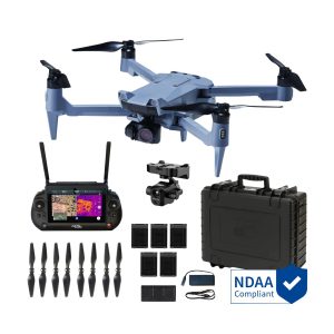
SOTEN Thermal Bundle Plus
Call for Price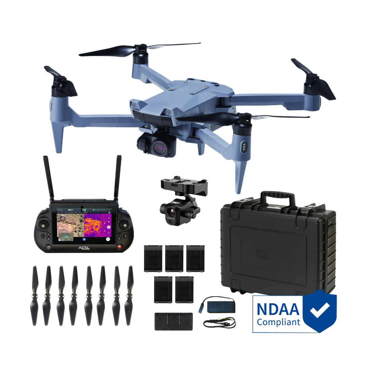
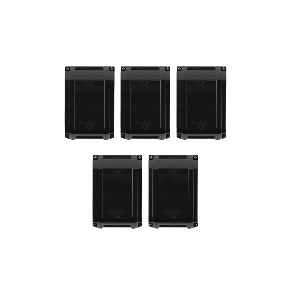
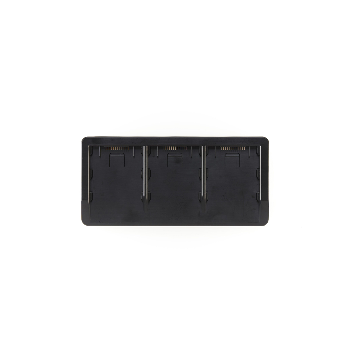
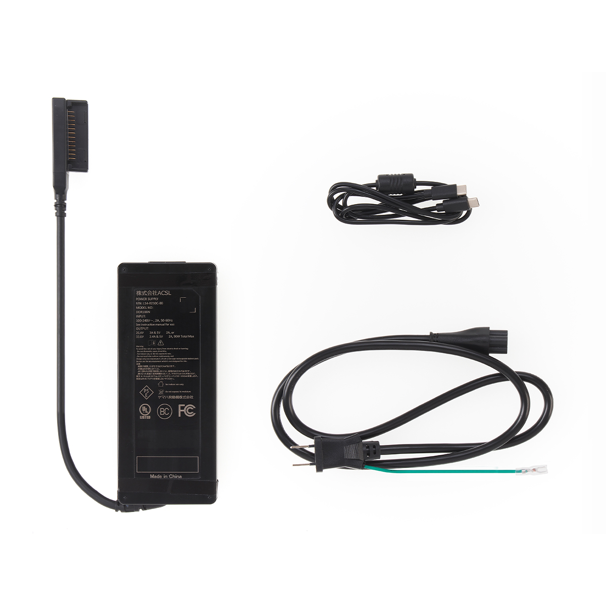
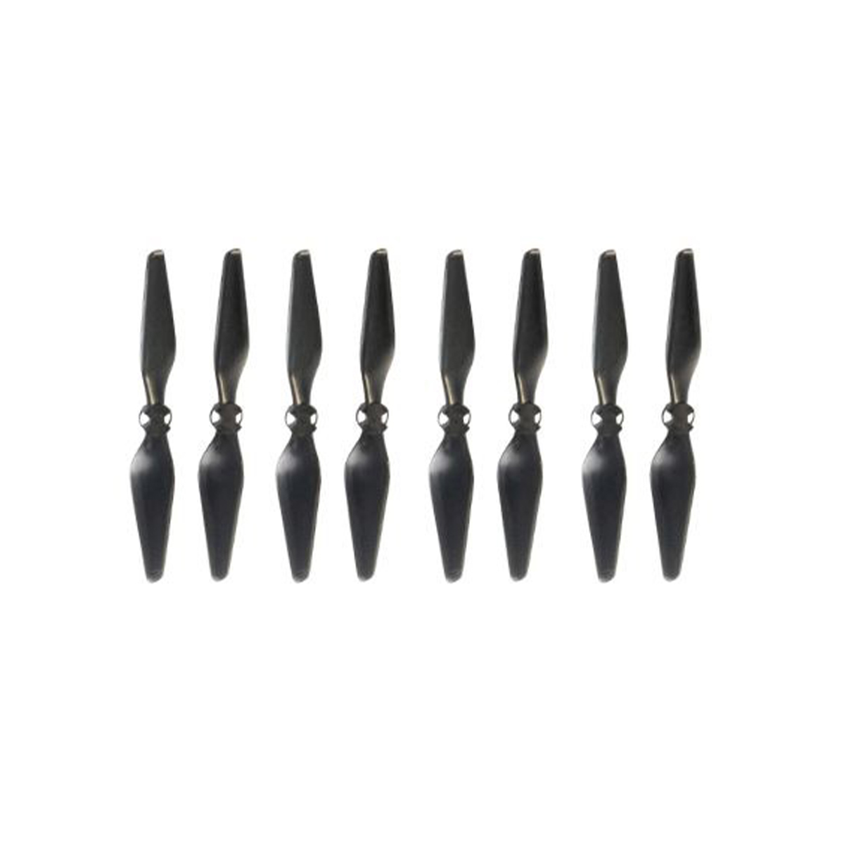
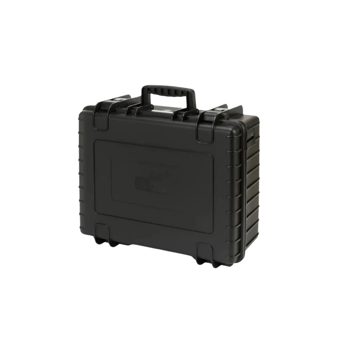
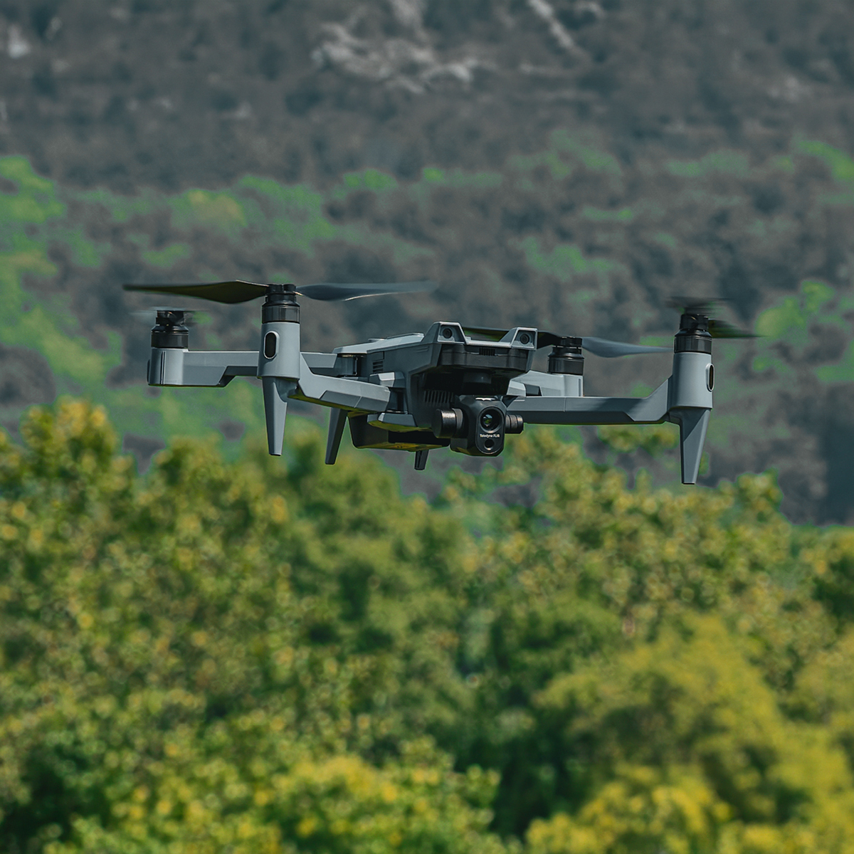
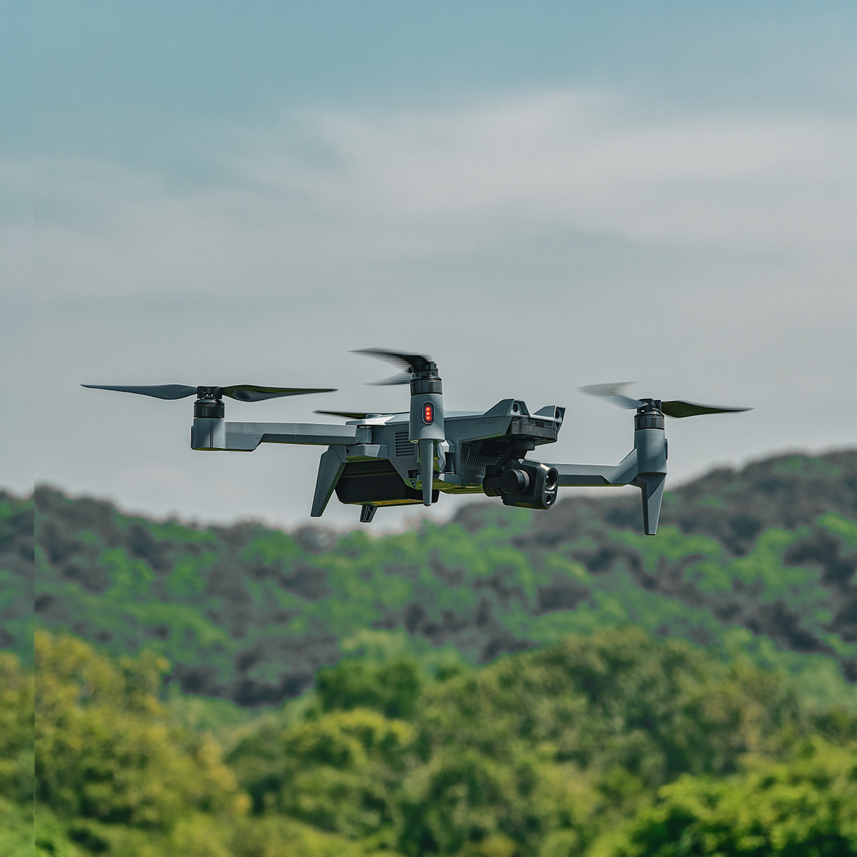

SOTEN Thermal Bundle Plus
Call for PriceSOTEN Thermal Bundle Plus
SOTEN-THERMAL-BUN-PLUSSecure, Reliable Drone Performance for Critical Operations
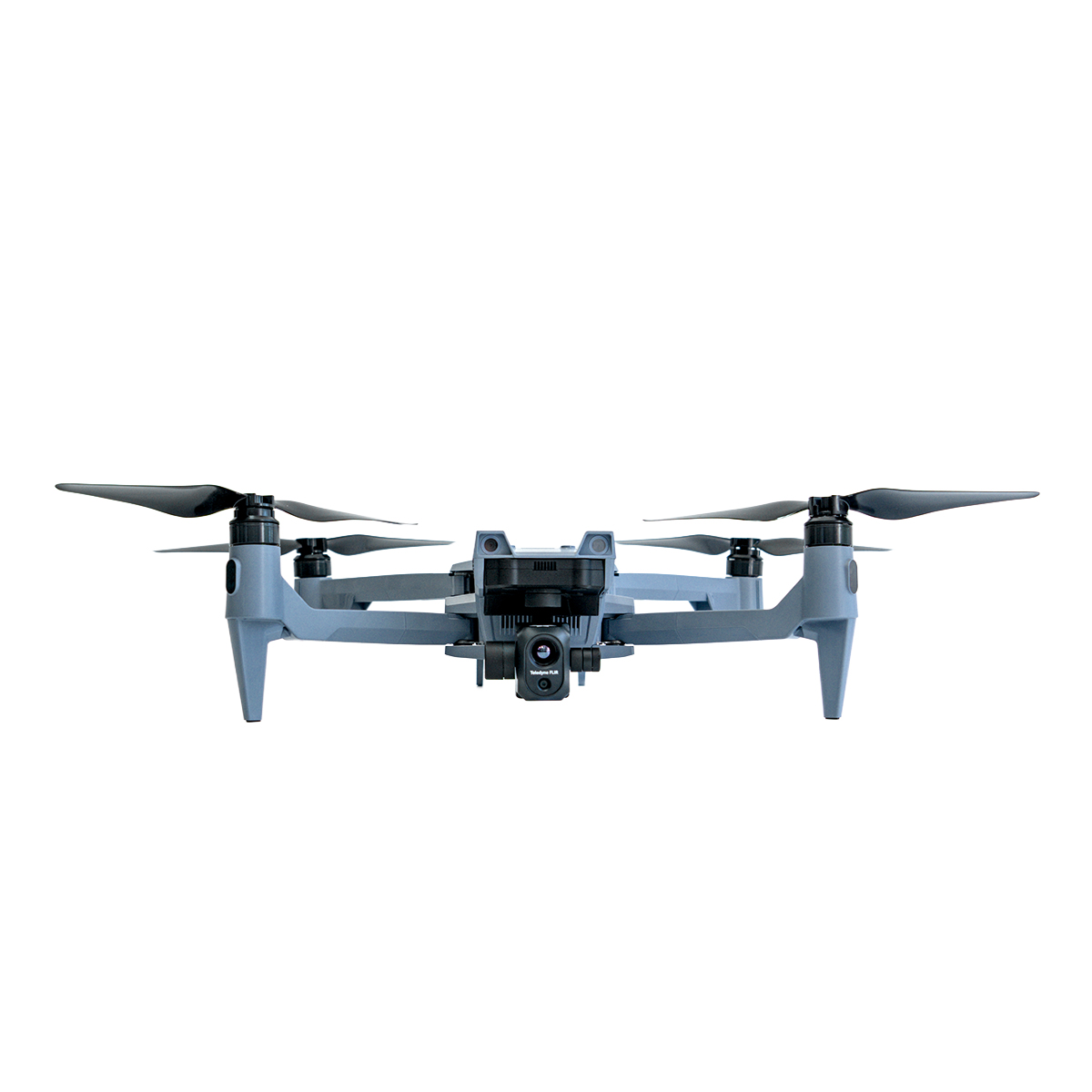
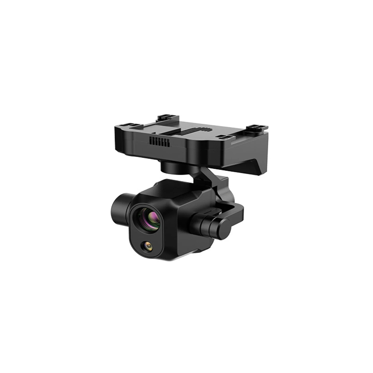
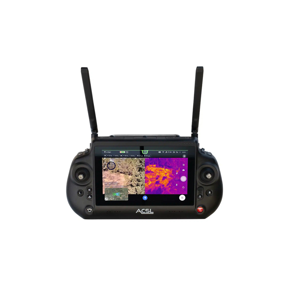
The ACSL SOTEN Thermal Bundle Plus is an enterprise-grade, NDAA-compliant industrial drone package. It features the secure, Japan-manufactured SOTEN airframe, a high-resolution radiometric thermal payload (integrating a FLIR Hadron 640R dual-sensor camera), the TAITEN Smart Controller, multiple smart batteries, and a multi-charger setup designed for public safety and industrial inspection.Quick View -
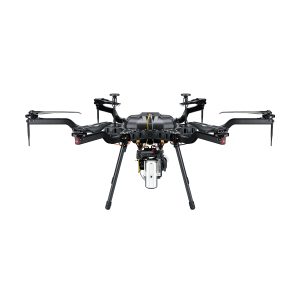
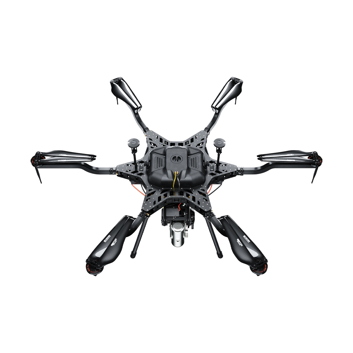
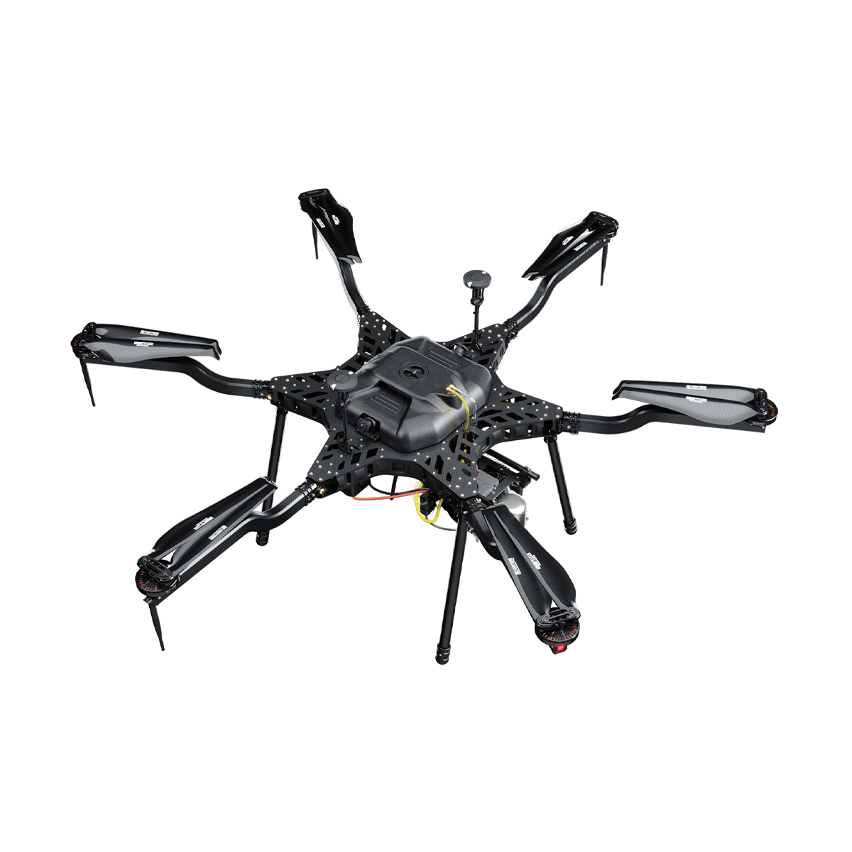
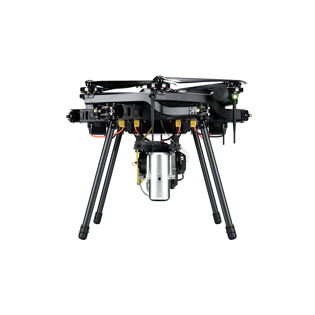
Harris Aerial H6 Hybrid EFI Drone
Call for Price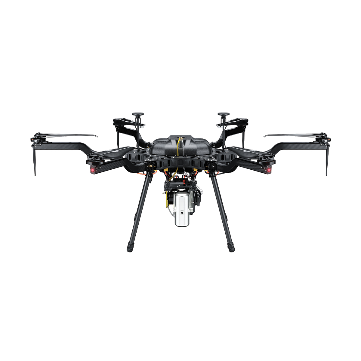


Harris Aerial H6 Hybrid EFI Drone
Call for PriceHarris Aerial H6 Hybrid EFI Drone
Multi-hour, high-endurance flight powered by an advanced 2-stroke EFI generator. Built for long-duration operations. The Carrier H6 Hybrid EFI offers unparalleled payload versatility for long-duration mission profiles. Built around a highly efficient electronic fuel injection system, it eliminates range anxiety and minimizes downtime.
This system arrives ready to plug-and-play, maintaining the H6 family’s hallmark ability to convert to all-electric or hydrogen-electric power formats in minutes — one airframe, three power systems.
Quick View -
Harris Aerial H4C Quad Drone
Call for Price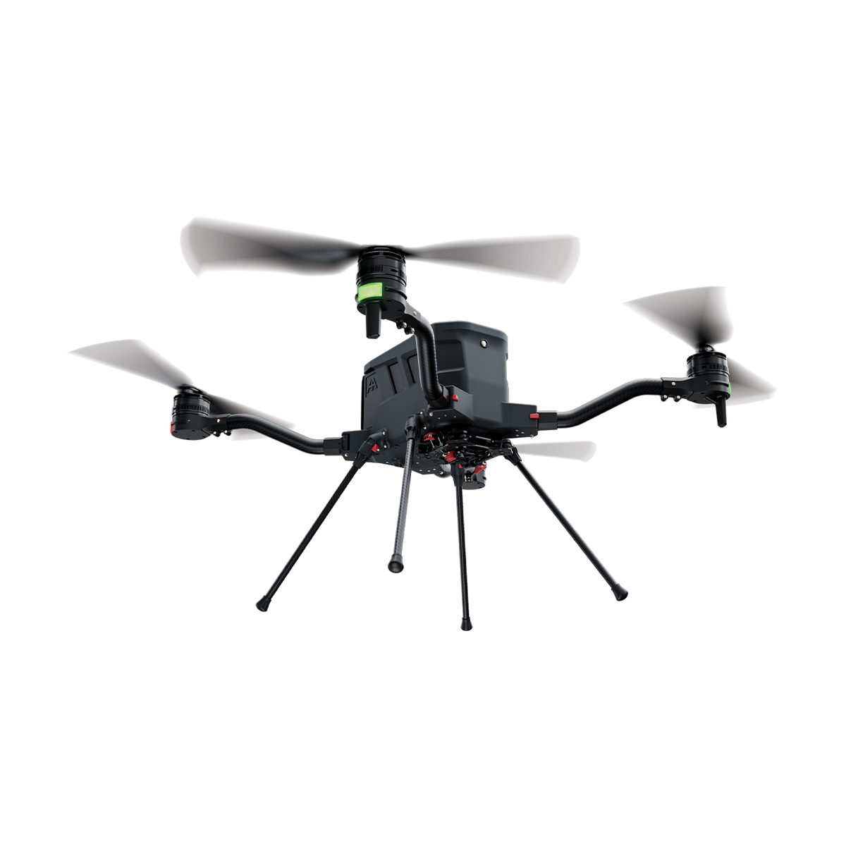
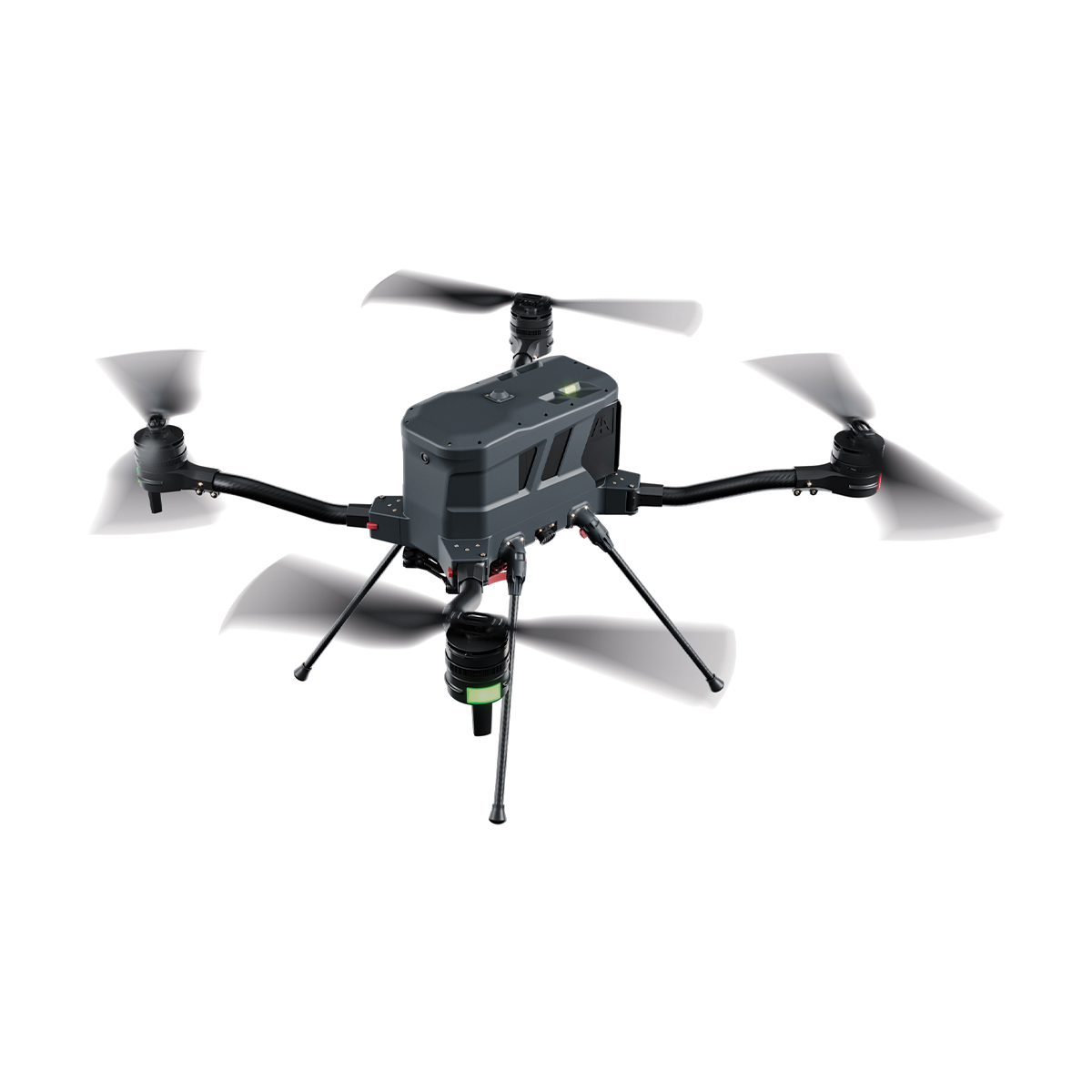
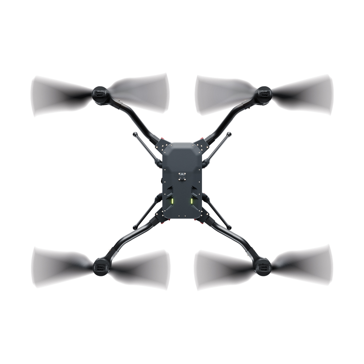
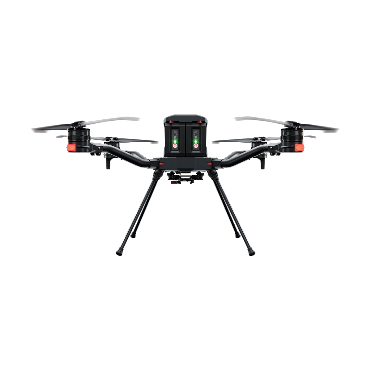
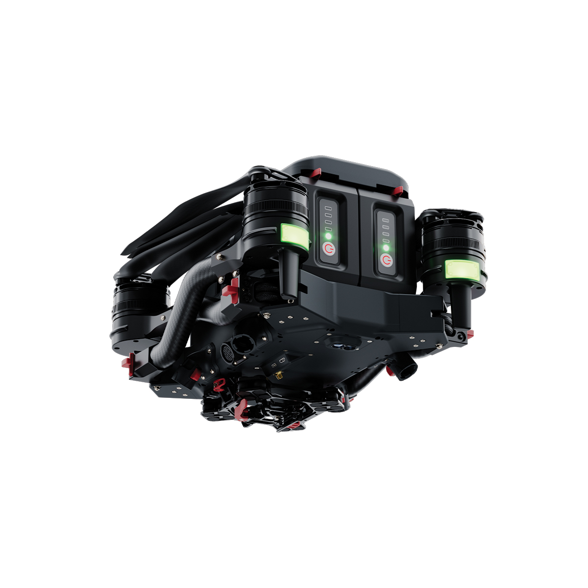
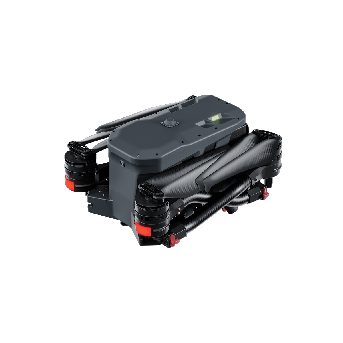
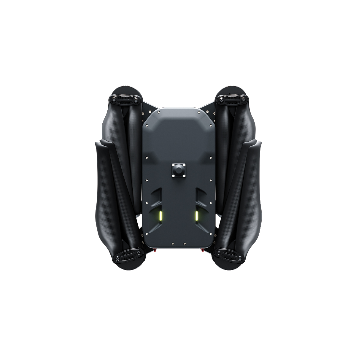
Harris Aerial H4C Quad Drone
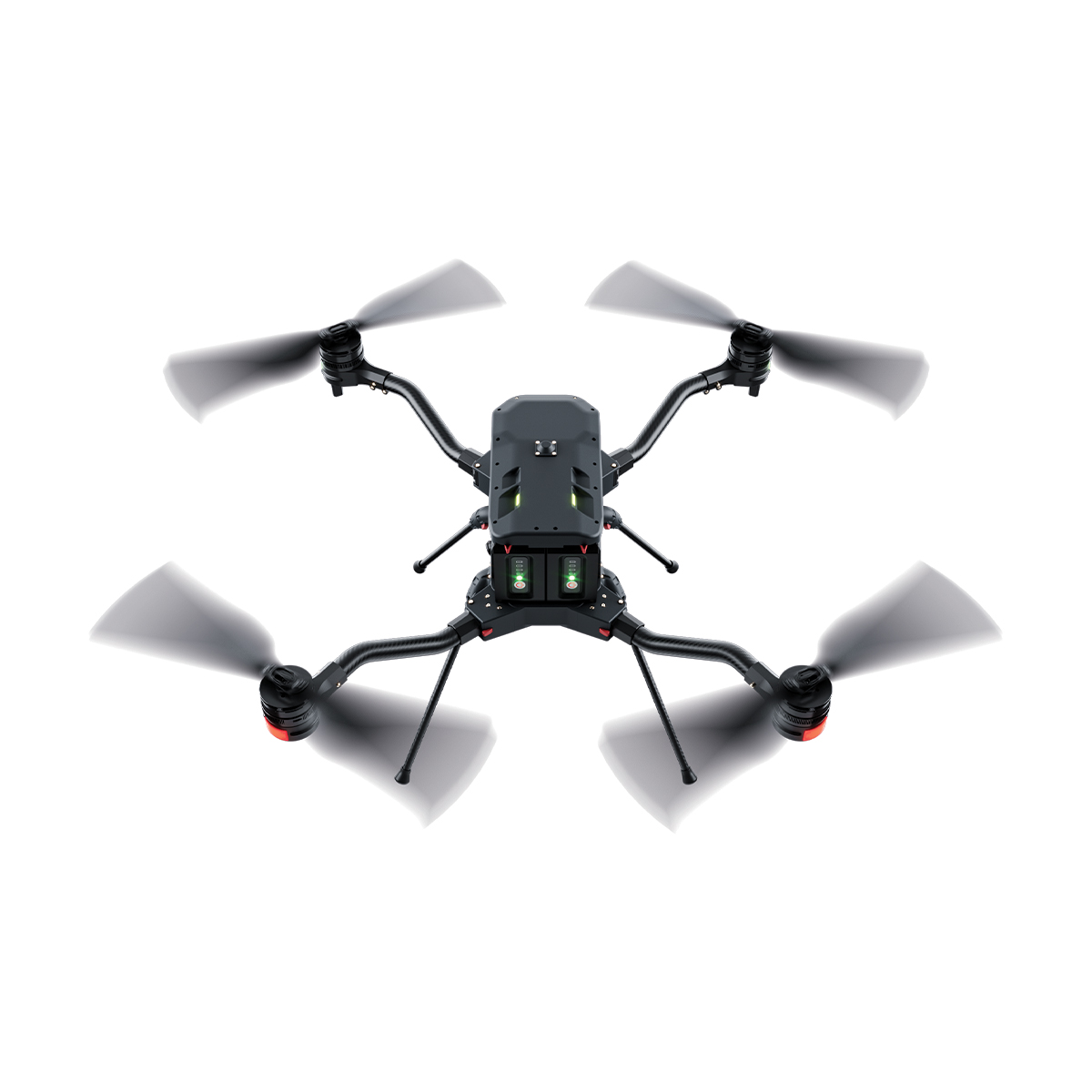
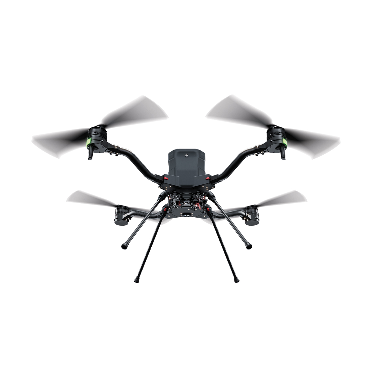
Call for PriceHarris Aerial H4C Quad Drone
Compact power. Uncompromising precision. The H4C pairs two massive 8 Ah intelligent 12S smart batteries with a foldable, IP54-rated airframe to deliver a true 4 kg payload and up to 50 minutes of flight — in a form factor that fits in a car seat or backpack.
Designed, manufactured, assembled, and supported in the United States. When mission success is non-negotiable, the H4C is your platform.
Quick View -

AgEagle MicaSense Series Altum-PT Multispectral Kit + DJI Skyport for M300
Call for Price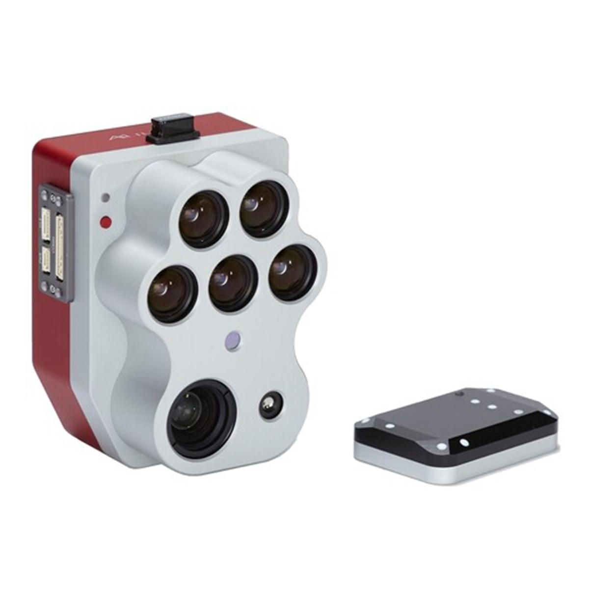


AgEagle MicaSense Series Altum-PT Multispectral Kit + DJI Skyport for M300
Call for PriceQuick View -
AgEagle MicaSense Series RedEdge-P Multispectral Kit + DJI Skyport for M300
Call for Price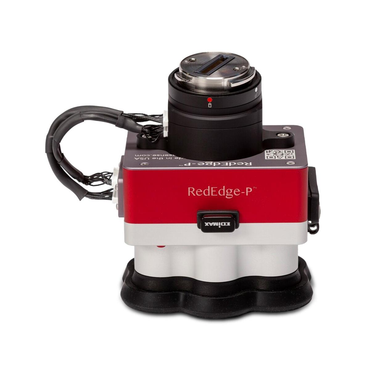

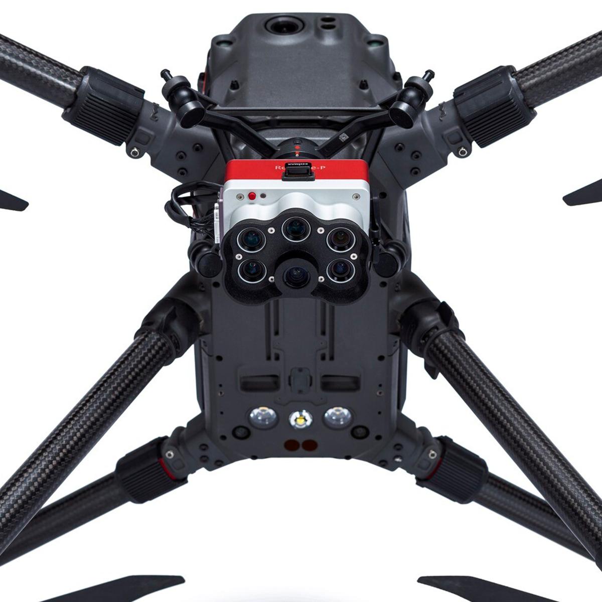
AgEagle MicaSense Series RedEdge-P Multispectral Kit + DJI Skyport for M300
Call for PriceQuick View -

AgEagle MicaSense Series RedEdge-P Multispectral Kit
Call for Price



AgEagle MicaSense Series RedEdge-P Multispectral Kit
Call for PriceQuick View -

Emesent E00-GX1 RTK SLAM Scanner
Call for Price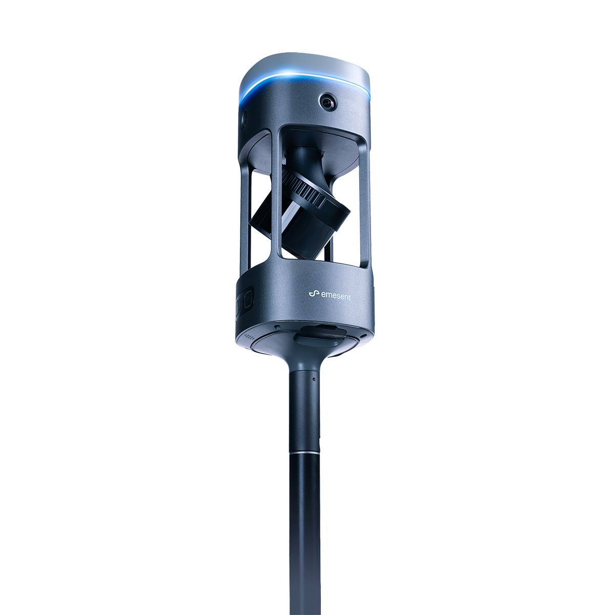
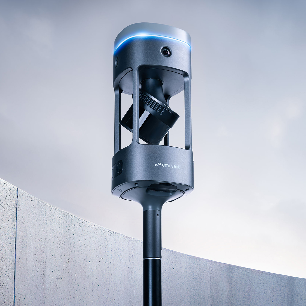

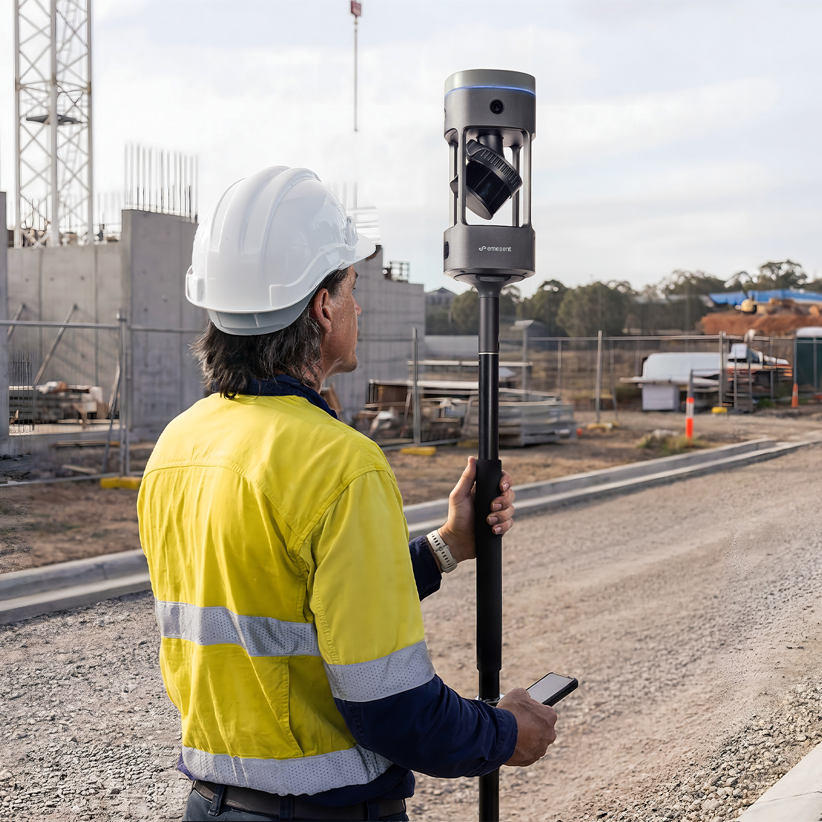
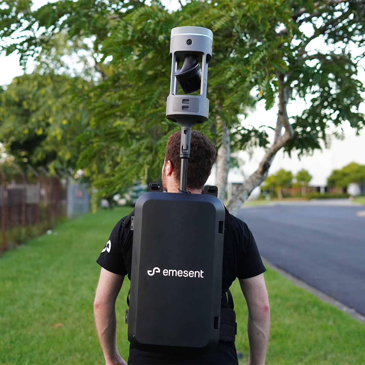
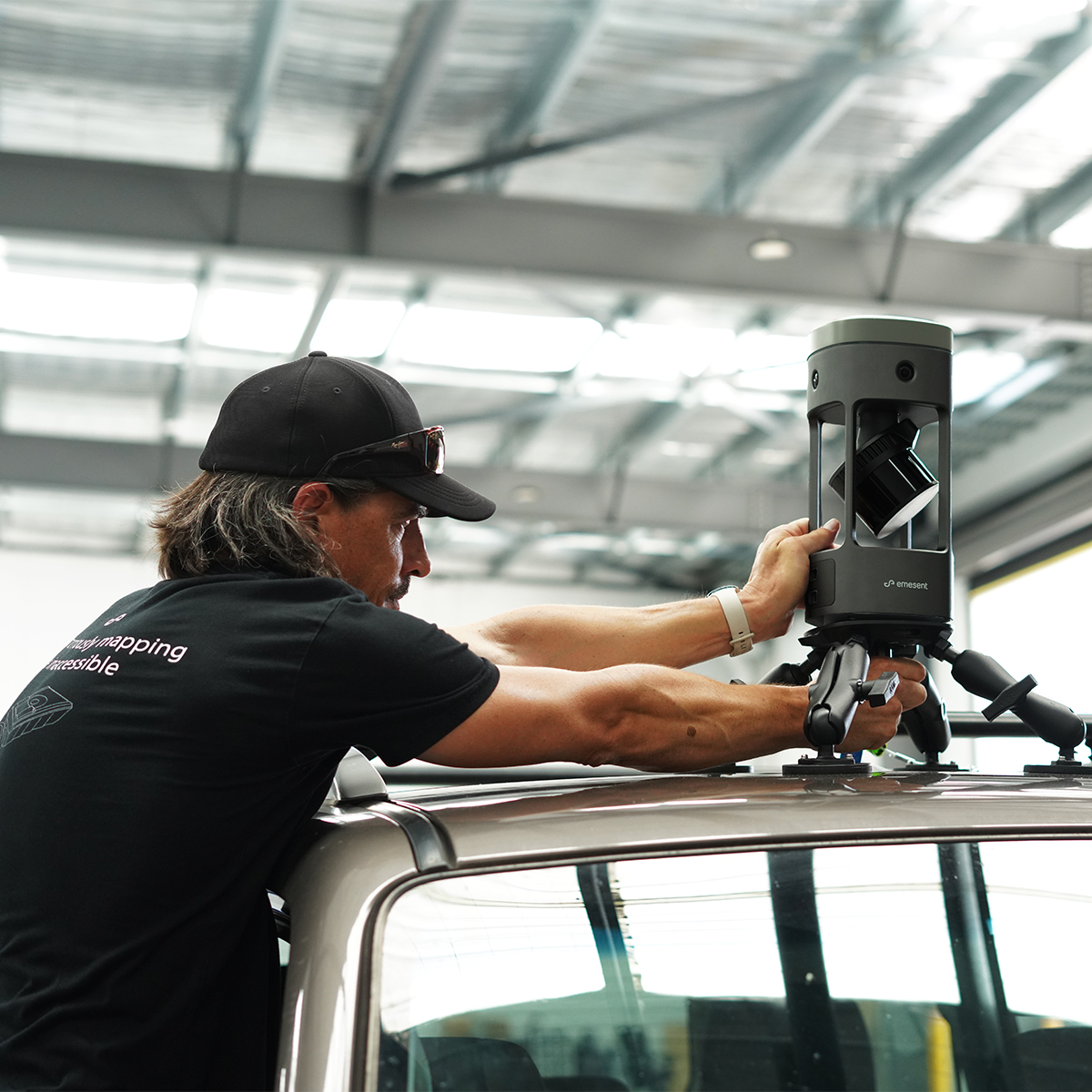

Emesent E00-GX1 RTK SLAM Scanner
Call for PriceEmesent E00-GX1 RTK SLAM Scanner
Reliable, highly accurate SLAM that works in any environment.
Emesent GX1 is the world’s most accurate RTK SLAM scanner, delivering 5-10mm global accuracy with integrated premium RTK georeferencing.Quick View -
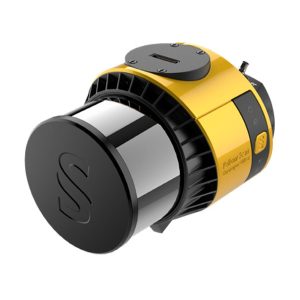
YellowScan Surveyor Ultra 3 YSSVKIT30 Integrated System
Call for Price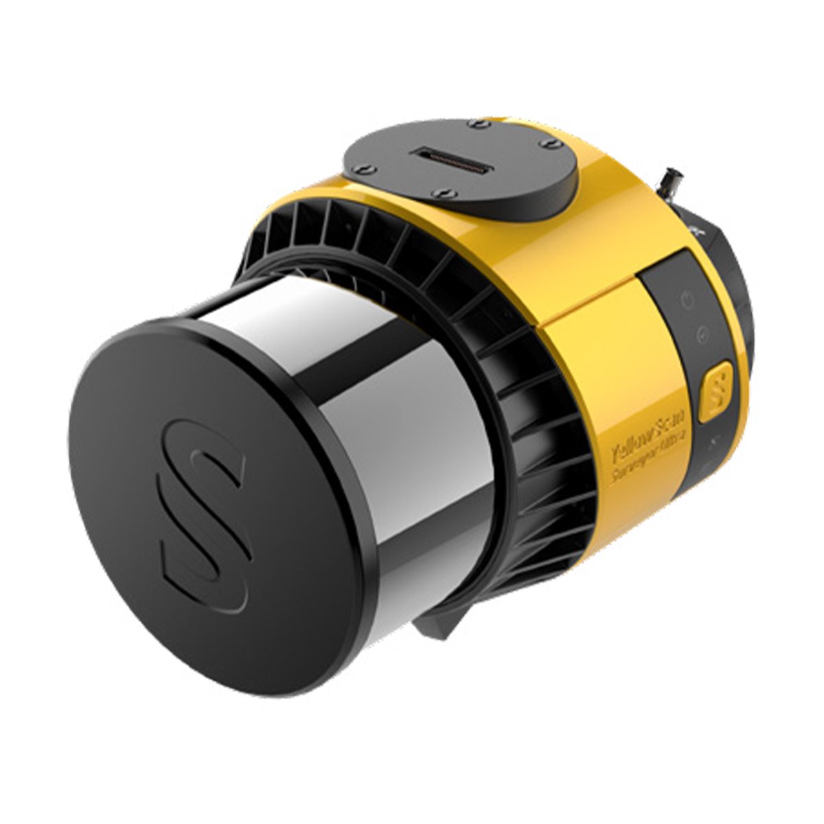
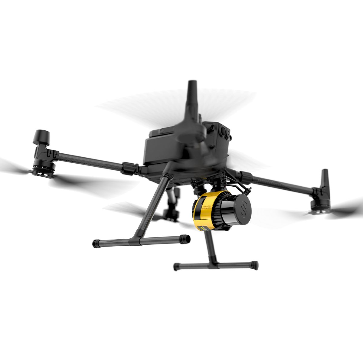
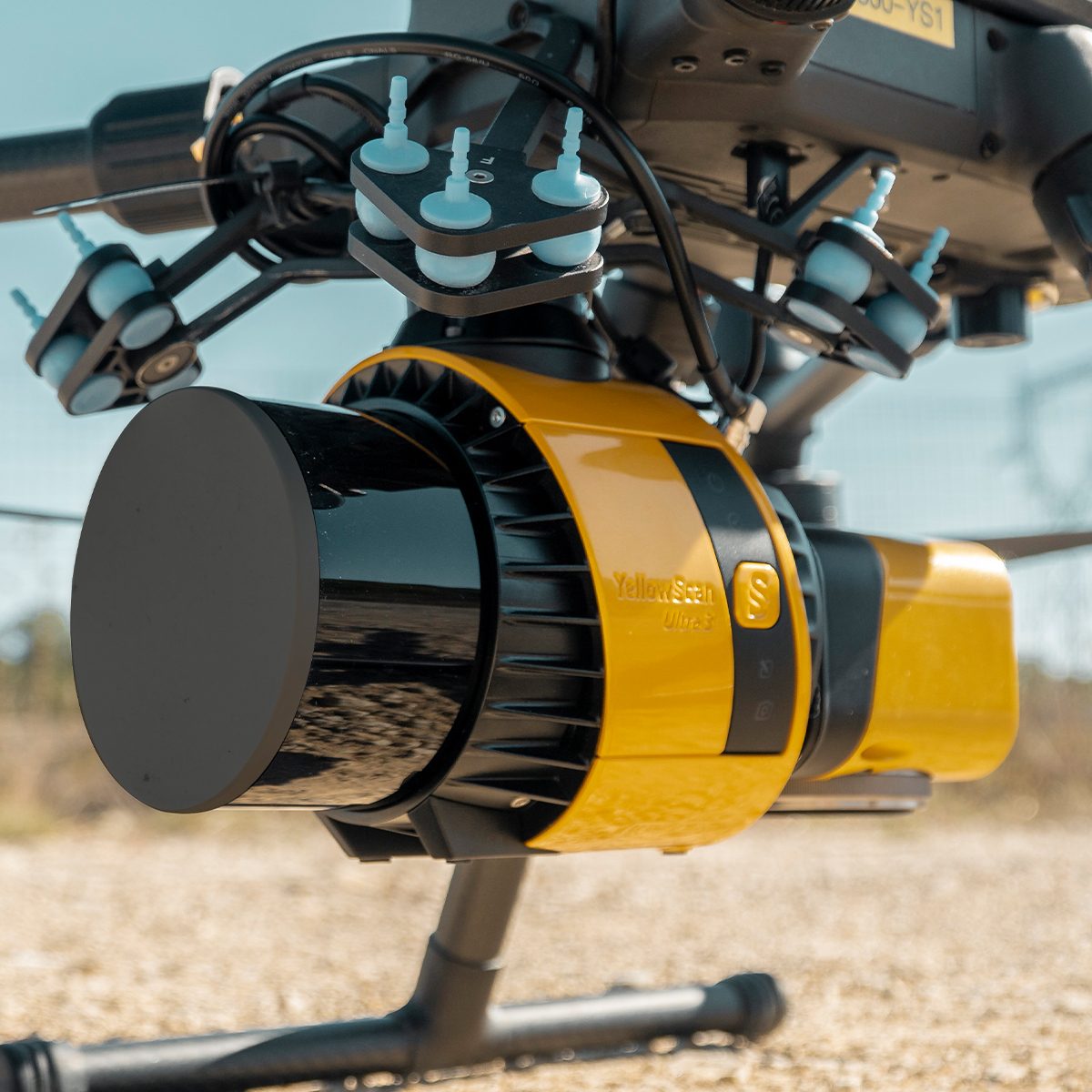
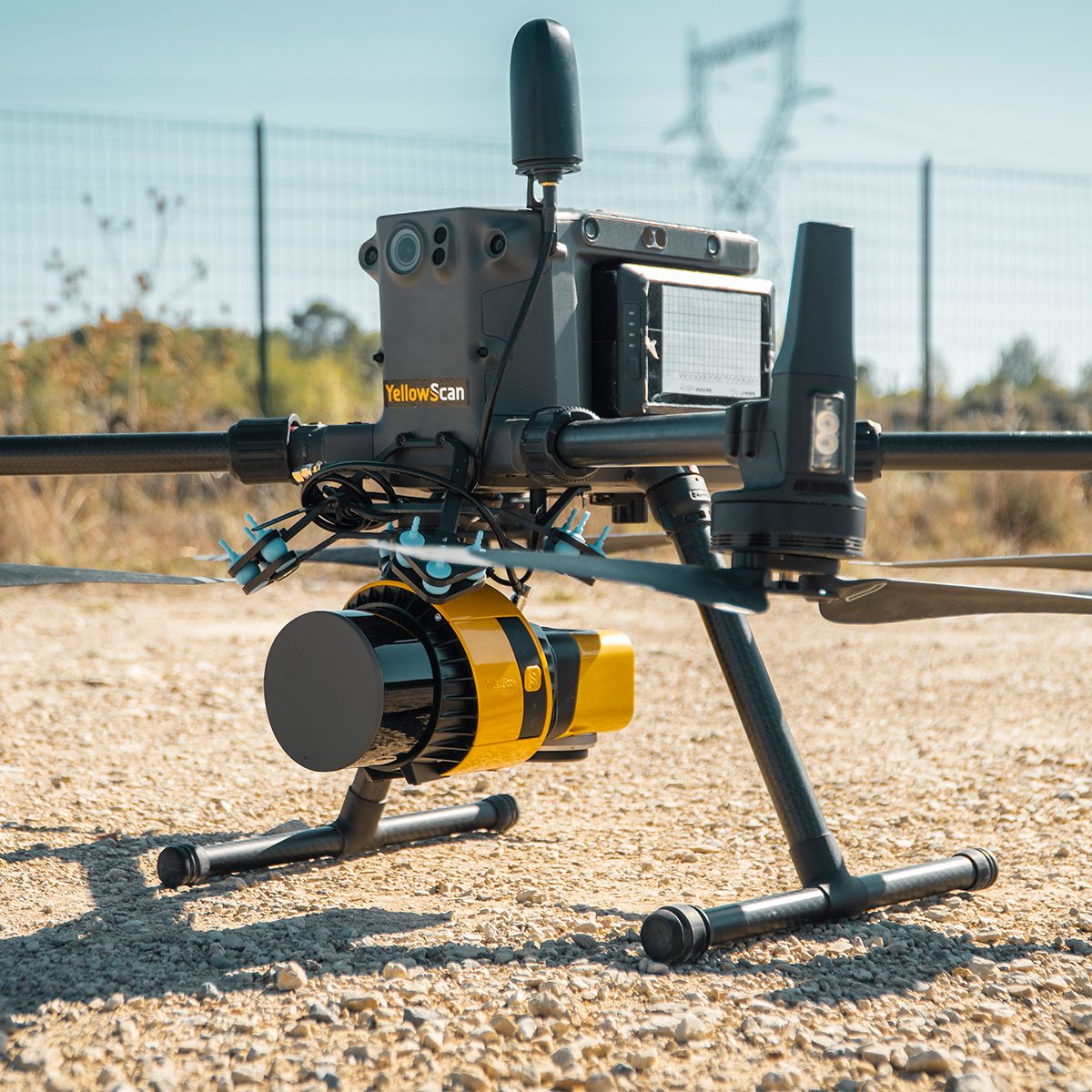
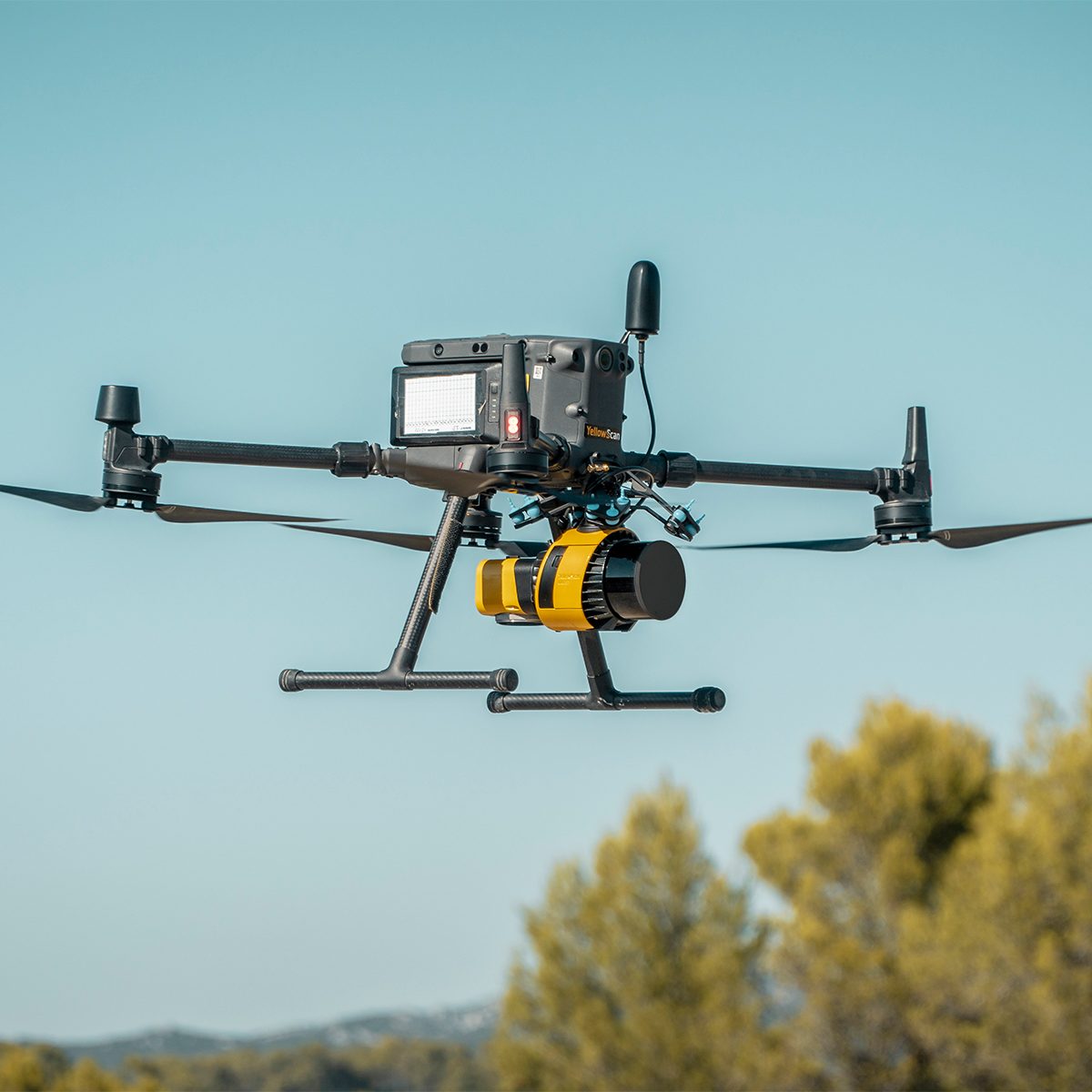
YellowScan Surveyor Ultra 3 YSSVKIT30 Integrated System
Call for PriceYellowScan Surveyor Ultra
Affordability. Flexibility. Productivity.
The YellowScan Surveyor Ultra marks a new generation of YellowScan LiDAR systems integrating SBG Systems’ IMU, combined with an integrated RGB camera for colorization purposes. Combining light weight and high density, its flexiblity makes a great addition anywhere.
Quick View -

Trimble Roadworks Paving Control Platform for Asphalt Pavers
Call for Price
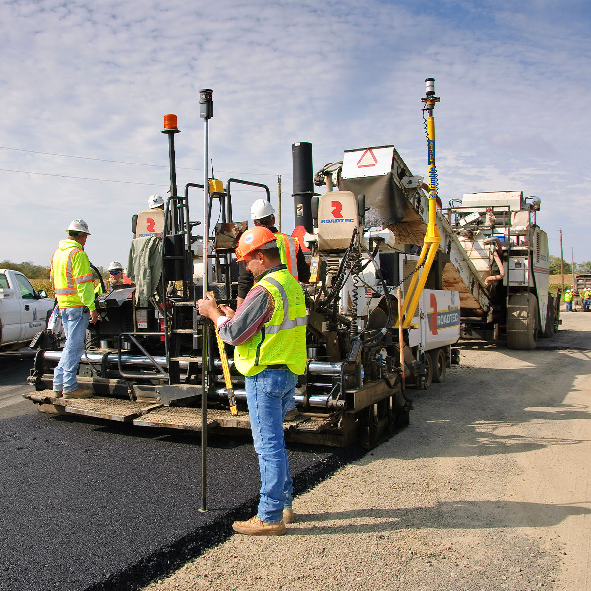
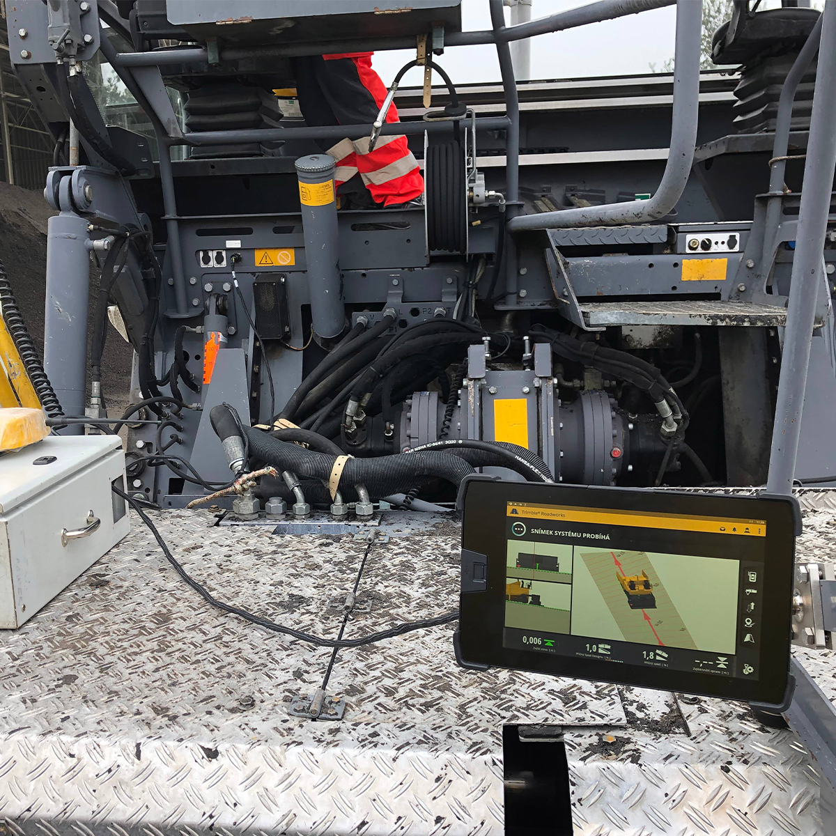
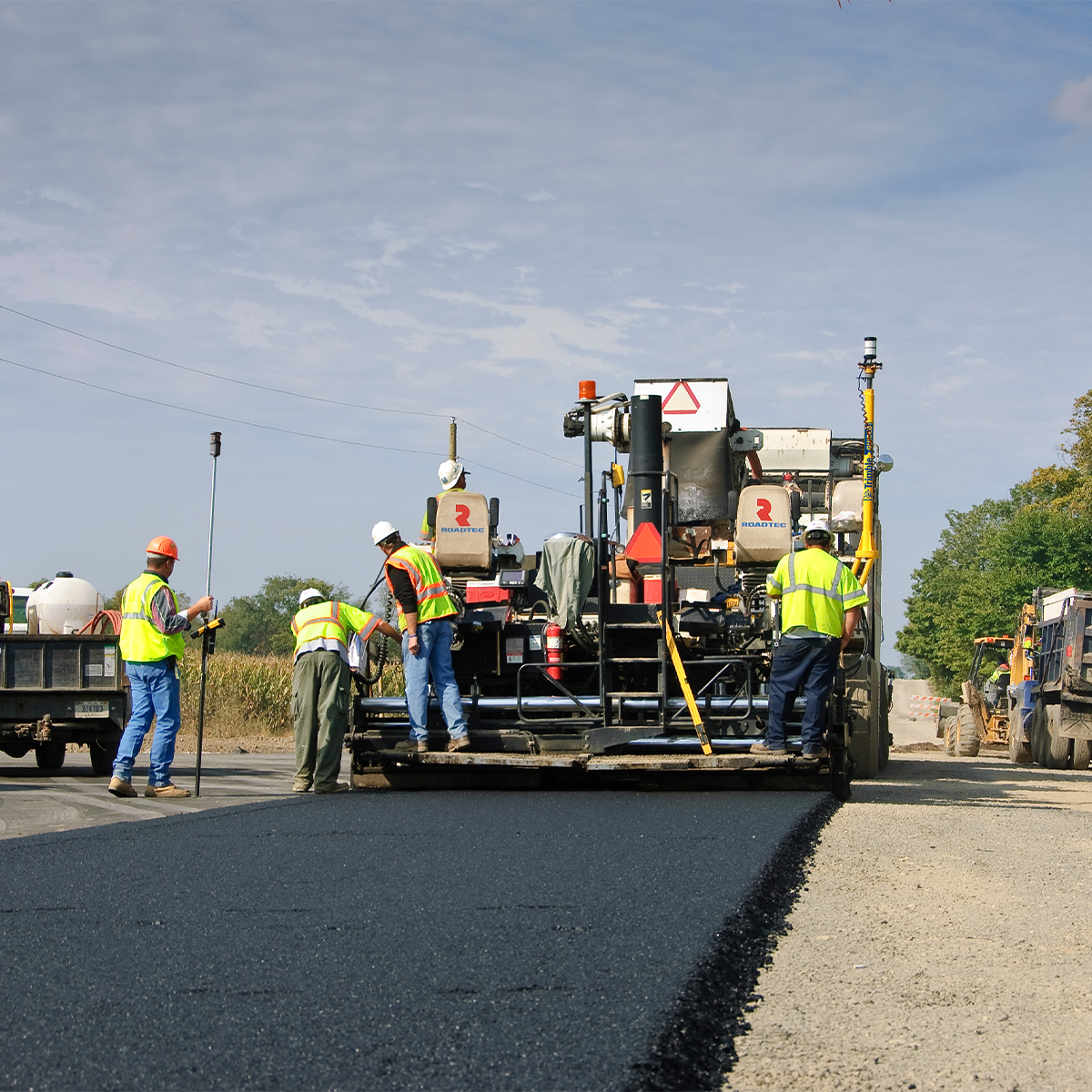
Trimble Roadworks Paving Control Platform for Asphalt Pavers
Call for PriceONLY AVAILABLE FOR DELIVERY IN ALASKA.
Trimble Roadworks Paving Control Platform for Asphalt Pavers
The Trimble® Roadworks Paving Control Platform for Asphalt Pavers is designed to help you do more in less time. Our innovative, next-generation paving control platform features intuitive, easy-to-learn software that runs on an Android™ operating system. State-of-the-art software and hardware give operators of all skill levels the ability to work faster and more productively than ever before.
Quick View -
Loadrite 108628-10 X2350 Excavator Scale
Call for Price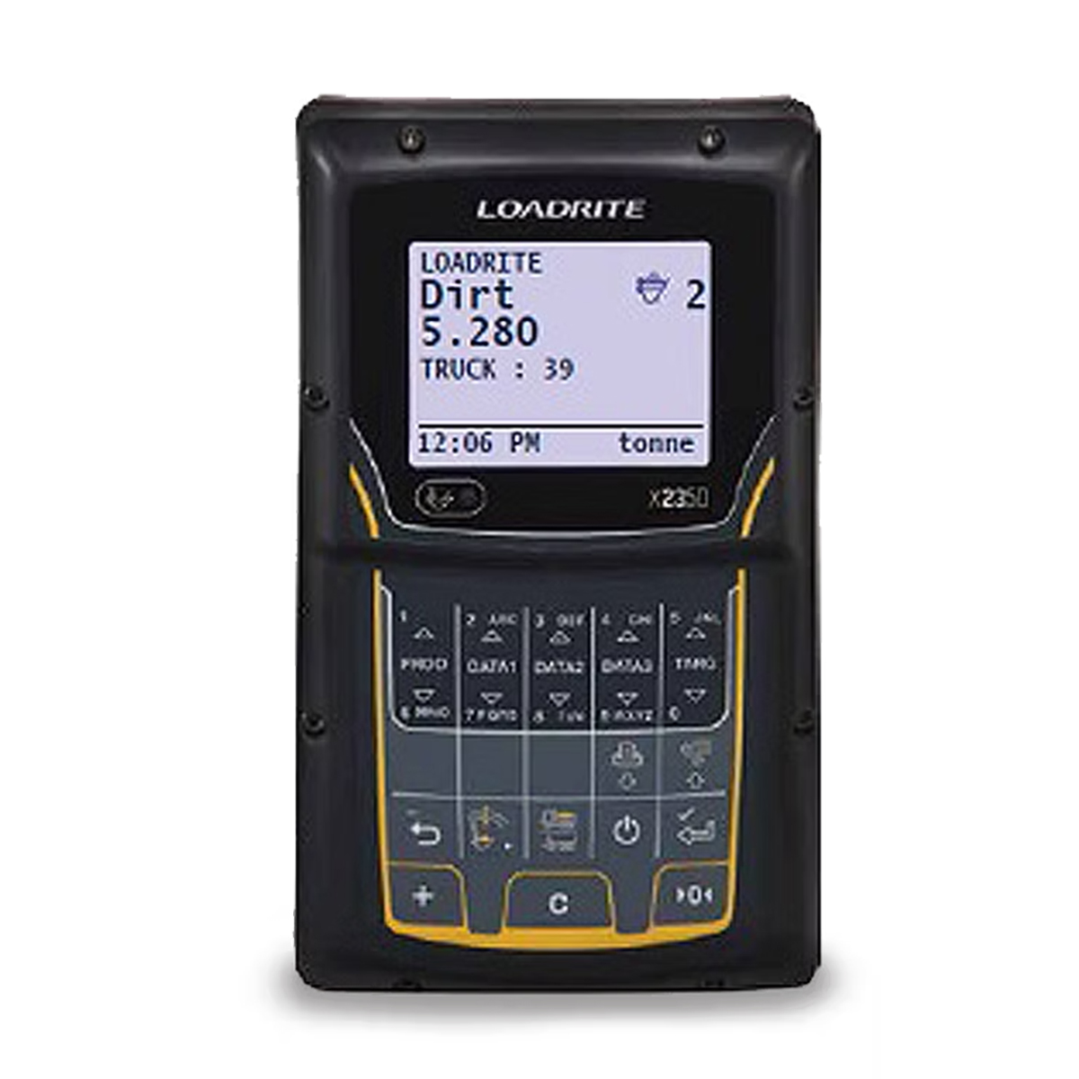
Loadrite 108628-10 X2350 Excavator Scale
Call for PriceLoadrite 108628-10 X2350 Excavator Scale
Payload management starts right here with the Loadrite X2350 Excavator Scale.
Half-full or half-empty, if your haul trucks aren’t carrying their optimized load you’re probably wasting money. With the X2350 on your excavator, you’ll know exactly how much material is loaded in the truck, and you’ll minimize costs and cycles to haul it away.Quick View -
Hylio AG-272 CP-D-272 Drone
Call for Price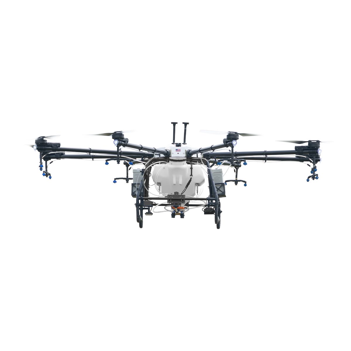
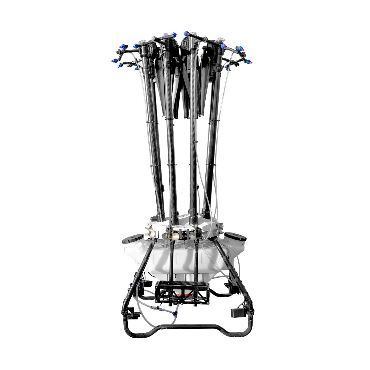
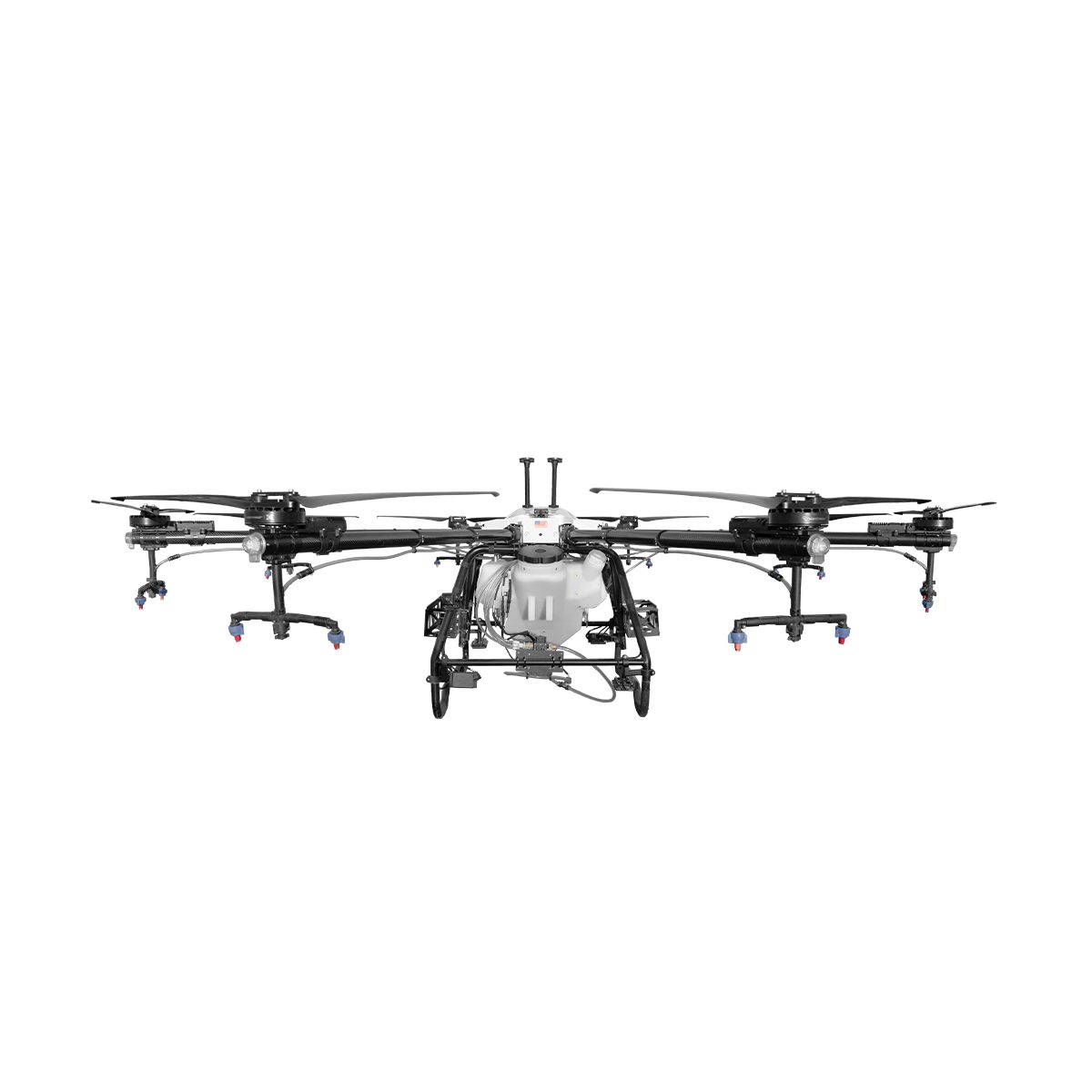
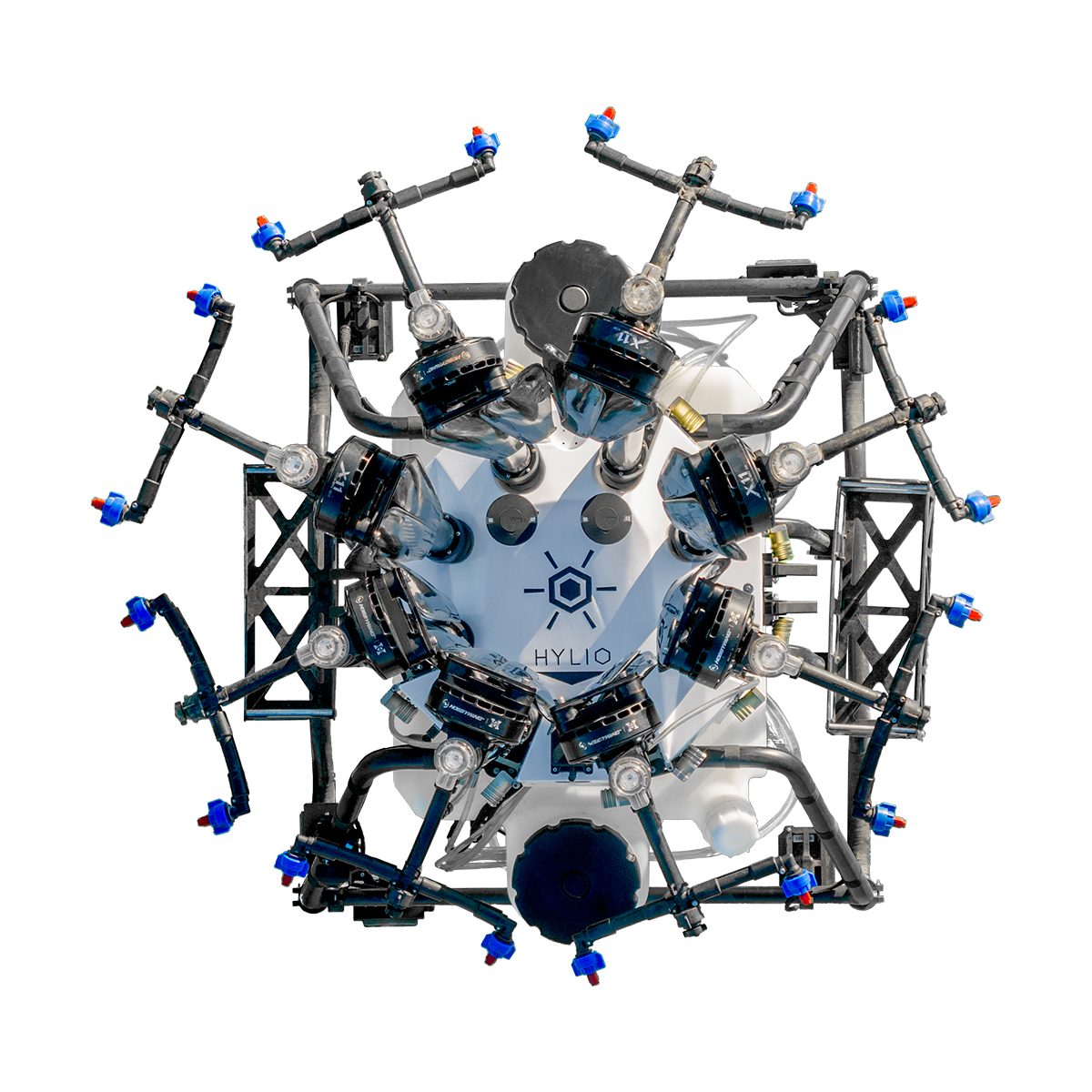
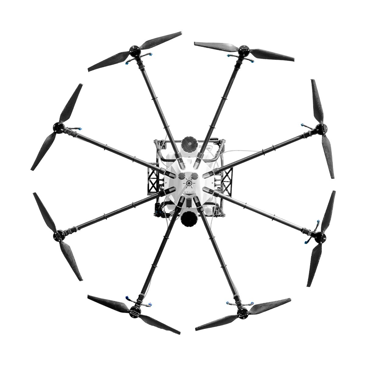
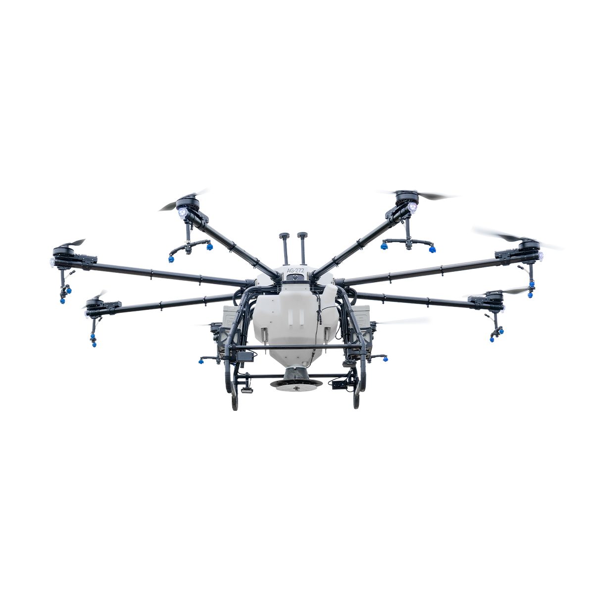
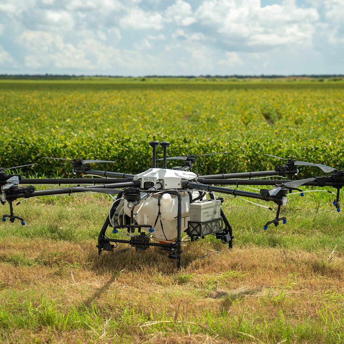
Hylio AG-272 CP-D-272 Drone
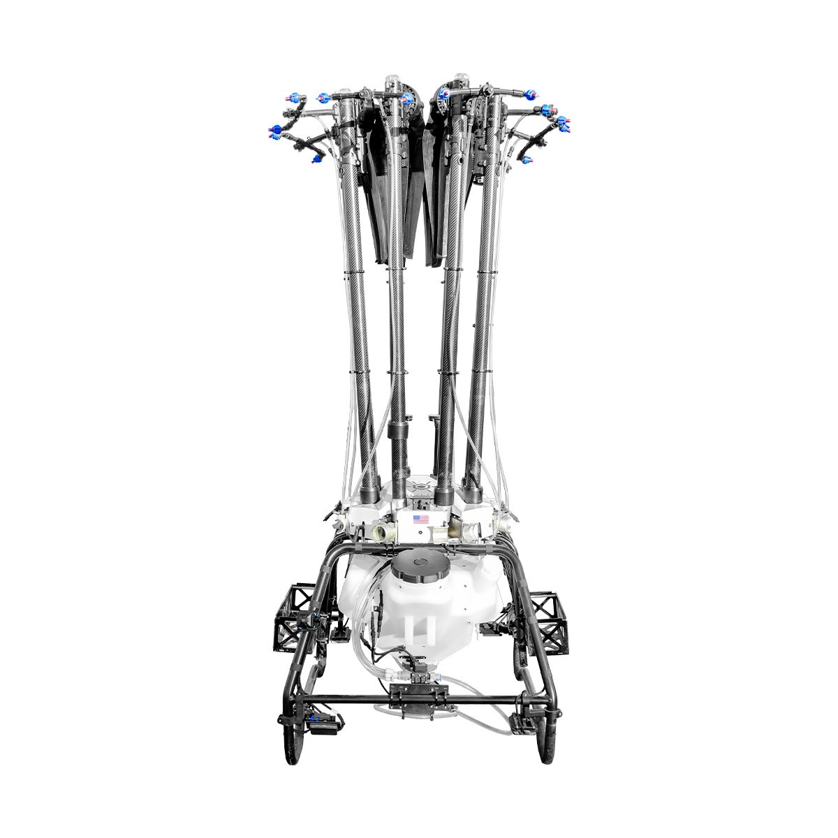
Call for PriceThe Biggest Spray Drone On The Market
Our newest, Texas-sized drone! With an 18-gallon capacity and up to 40 foot swath width, the AG-272 can cover up to 50 acres/hour at a 2GPA application rate.
The AG-272 is the perfect system for producers and applicators who want to tackle hundreds, or even thousands, of acres per day.
Quick View -
Hylio AG-230 CP-D-230 Drone
Call for Price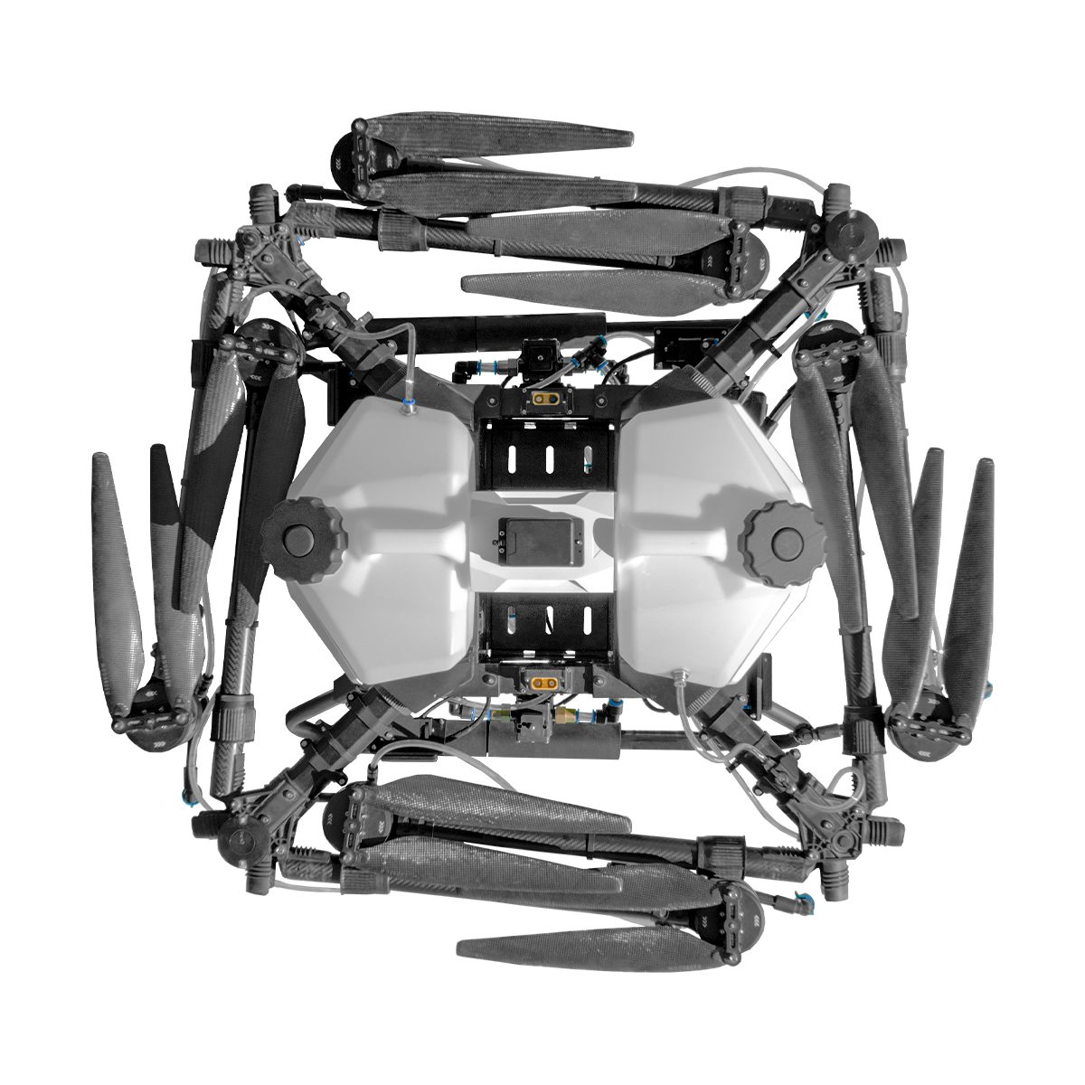
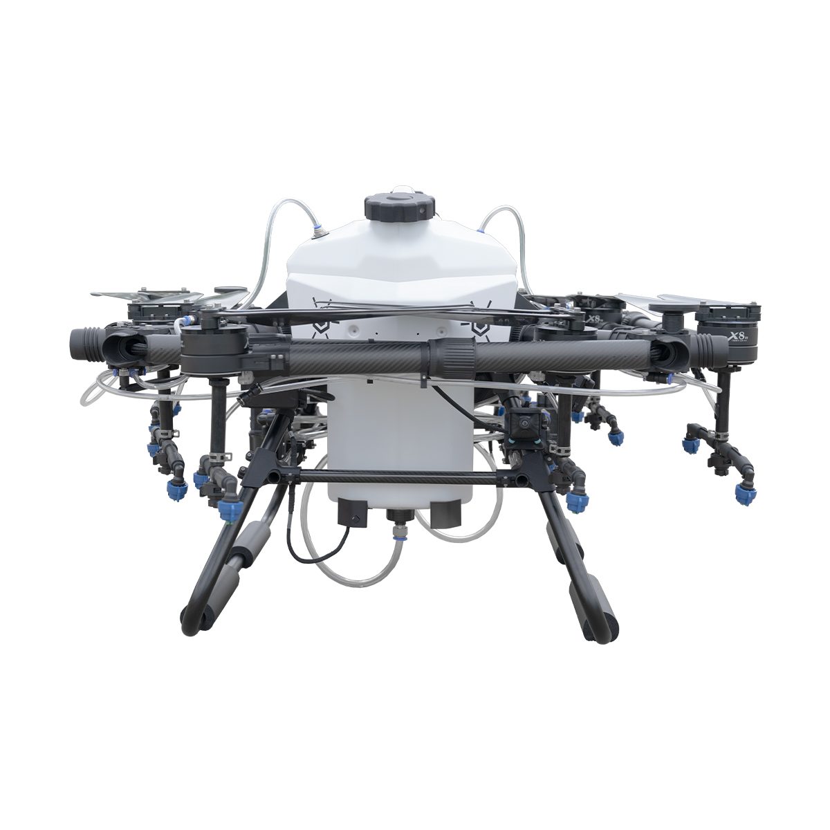
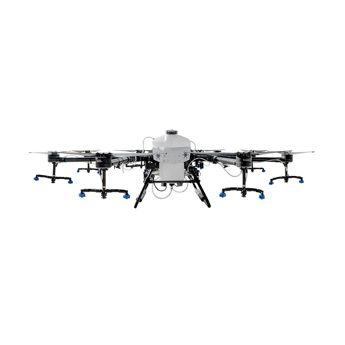
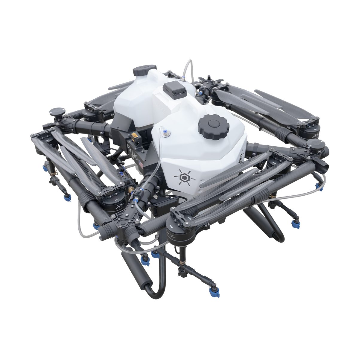
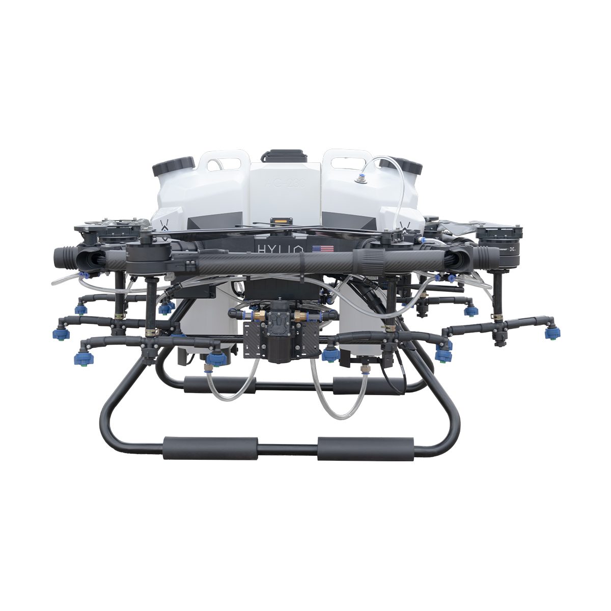
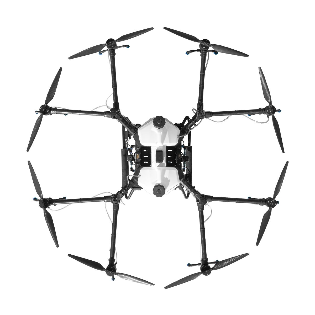

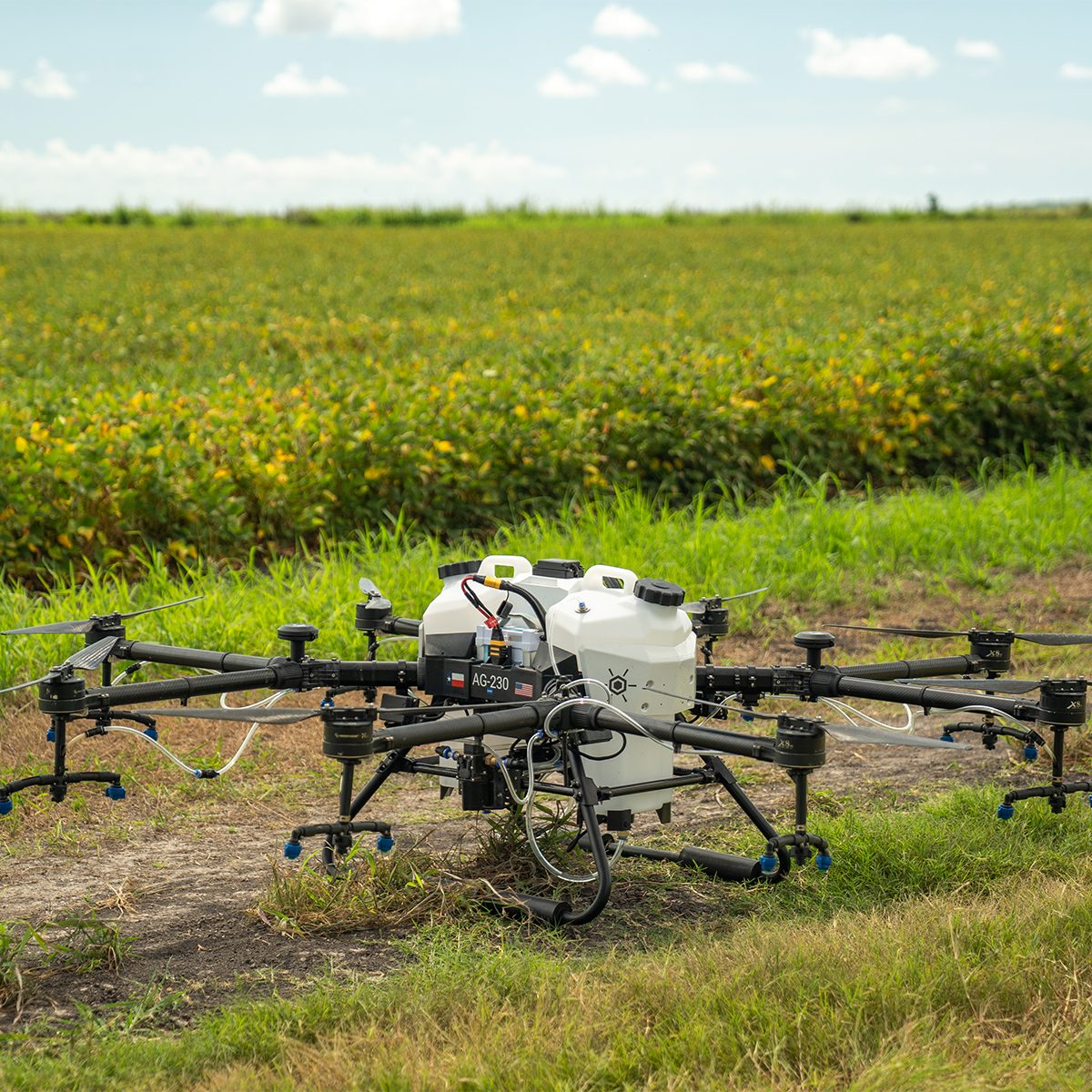
Hylio AG-230 CP-D-230 Drone
Call for PriceBuilt for Large Scale Operations
The AG-230 boasts a large tank capacity and is ideal for industrial-scale applications. The AG-230, alone or in a swarm, is perfect for taking on big acreage.
Quick View -
Hylio AG-216 CP-D-216 Drone
Call for Price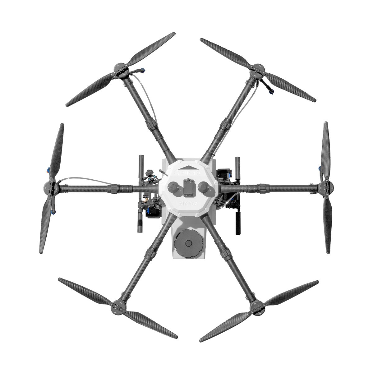
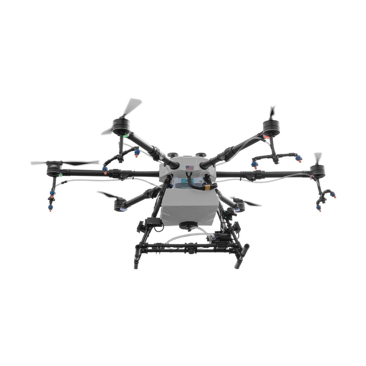
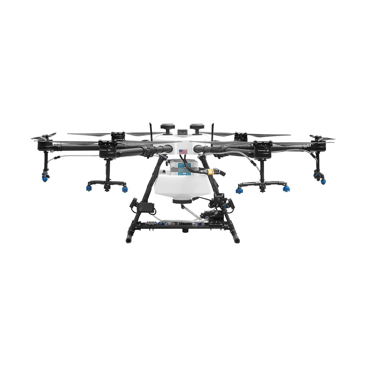
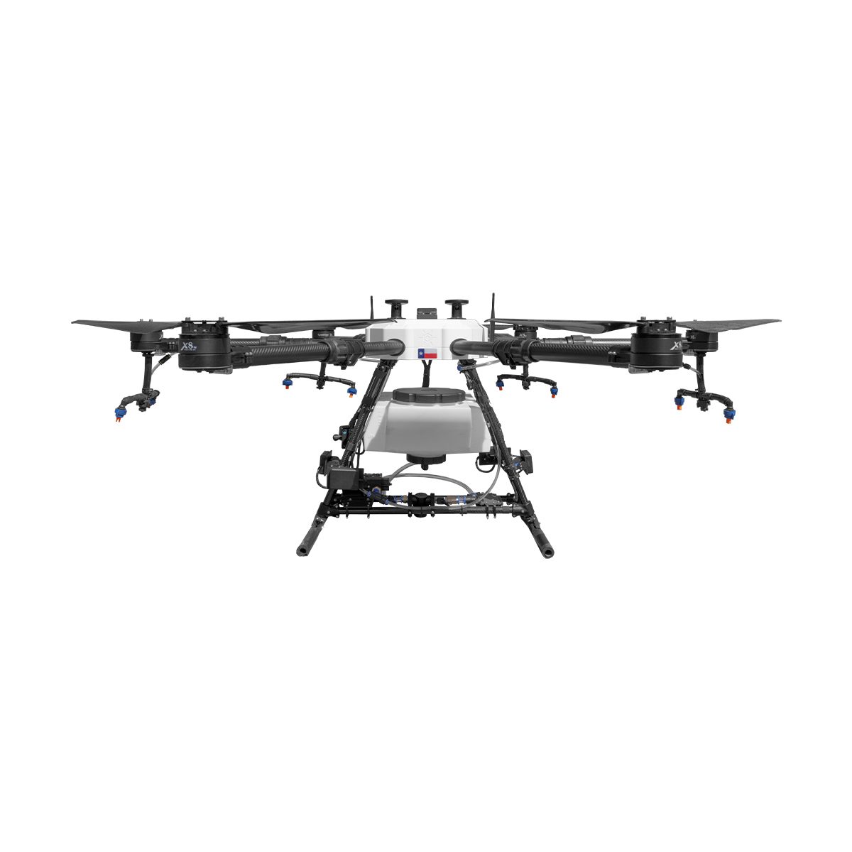
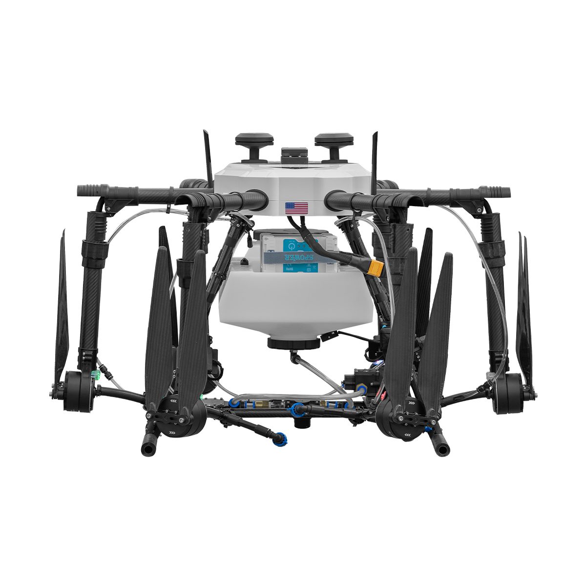
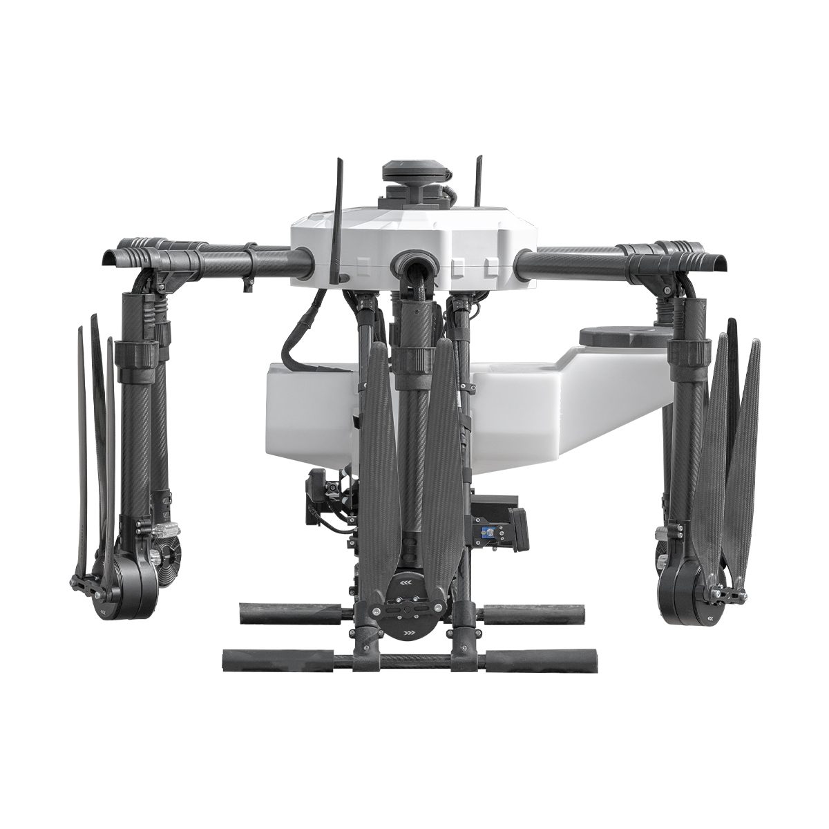

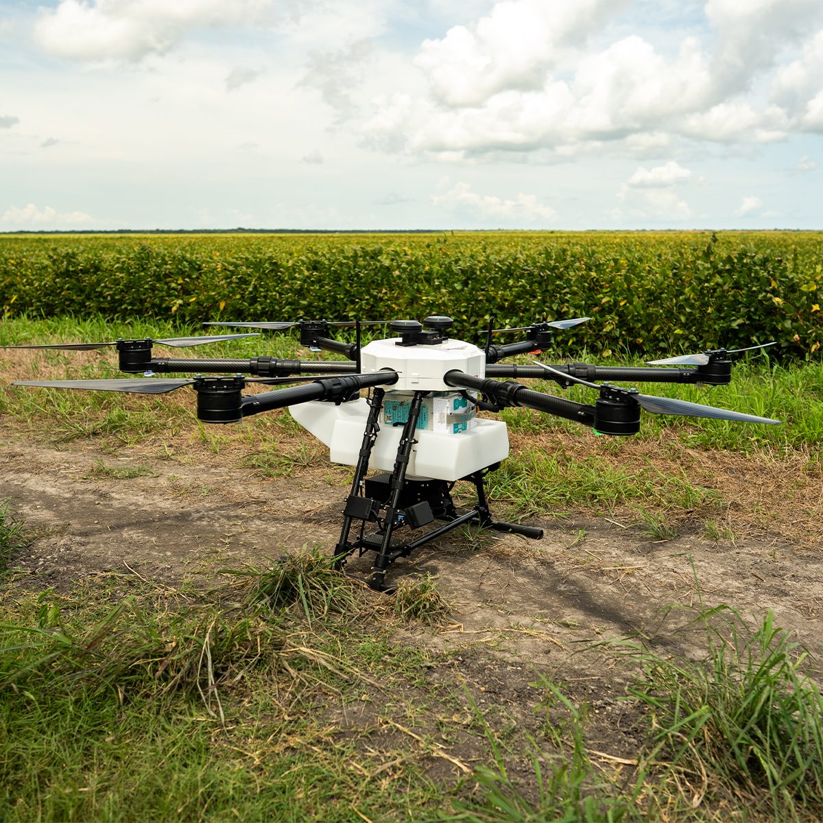
Hylio AG-216 CP-D-216 Drone
Call for PriceDesigned for Versatility
The original AgriDrone. Designed from direct field experience, this reliable UAS excels at both small-scale and large-scale operations. The AG-216 is a great, flexible option for many applicators and producers.
Quick View -
Hylio AG-210 CP-D-210 Drone
Call for Price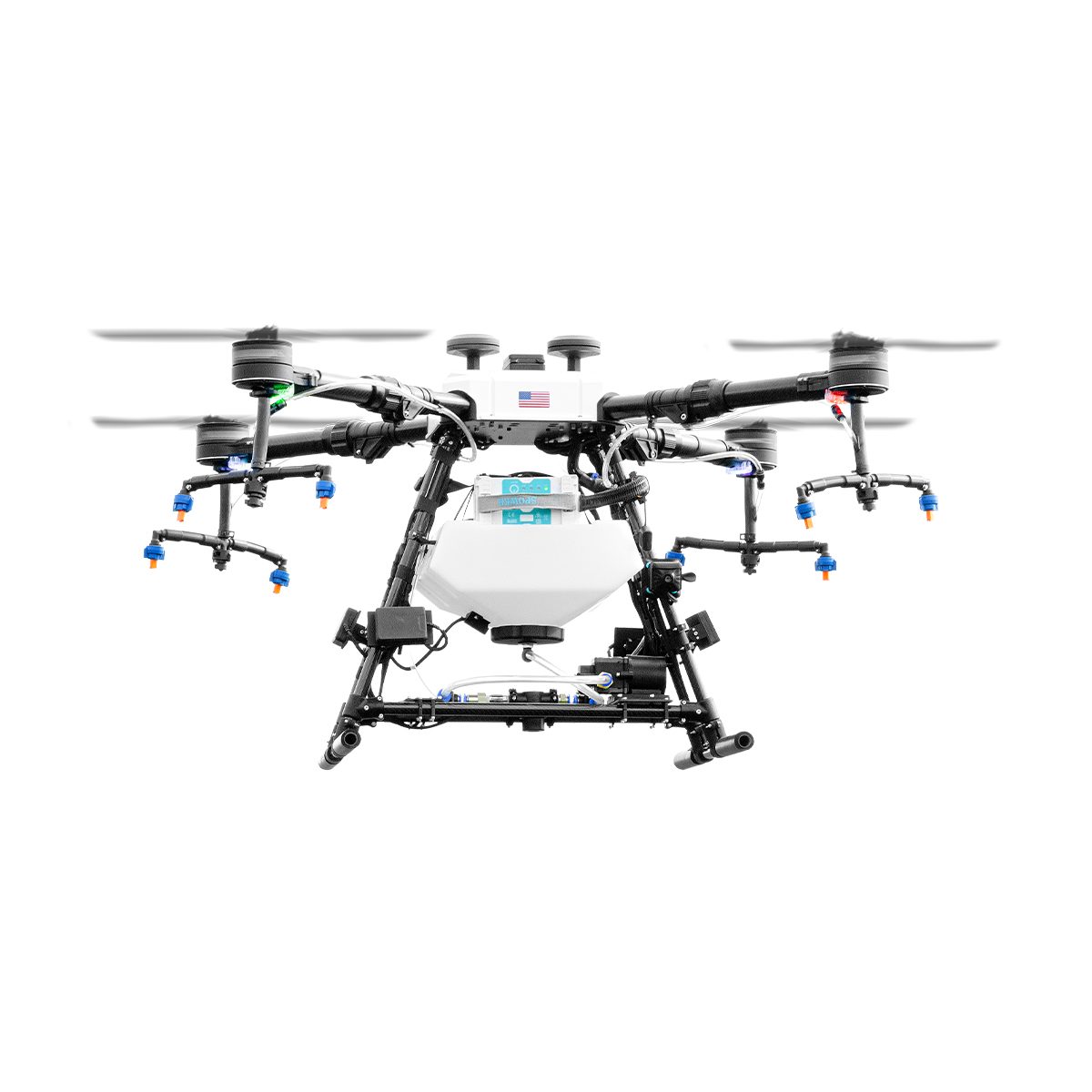
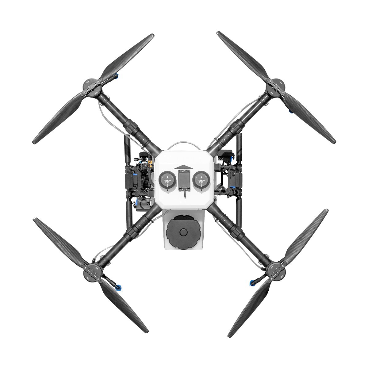
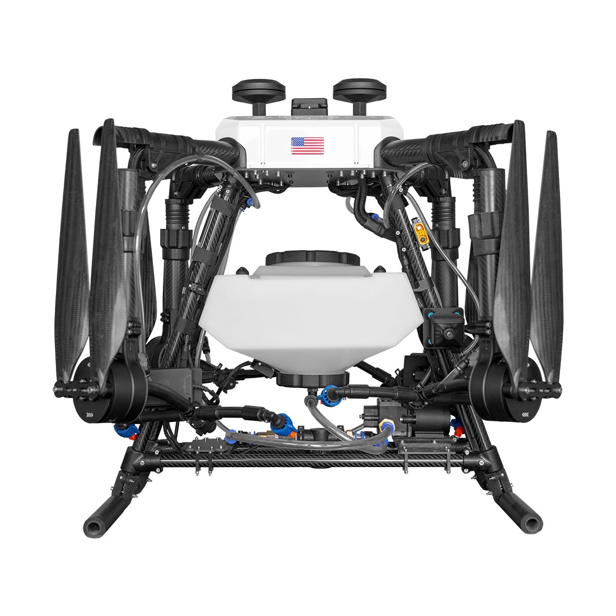
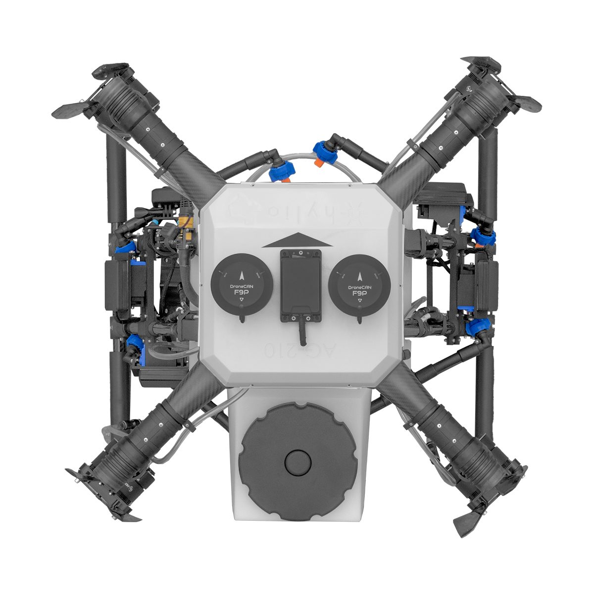
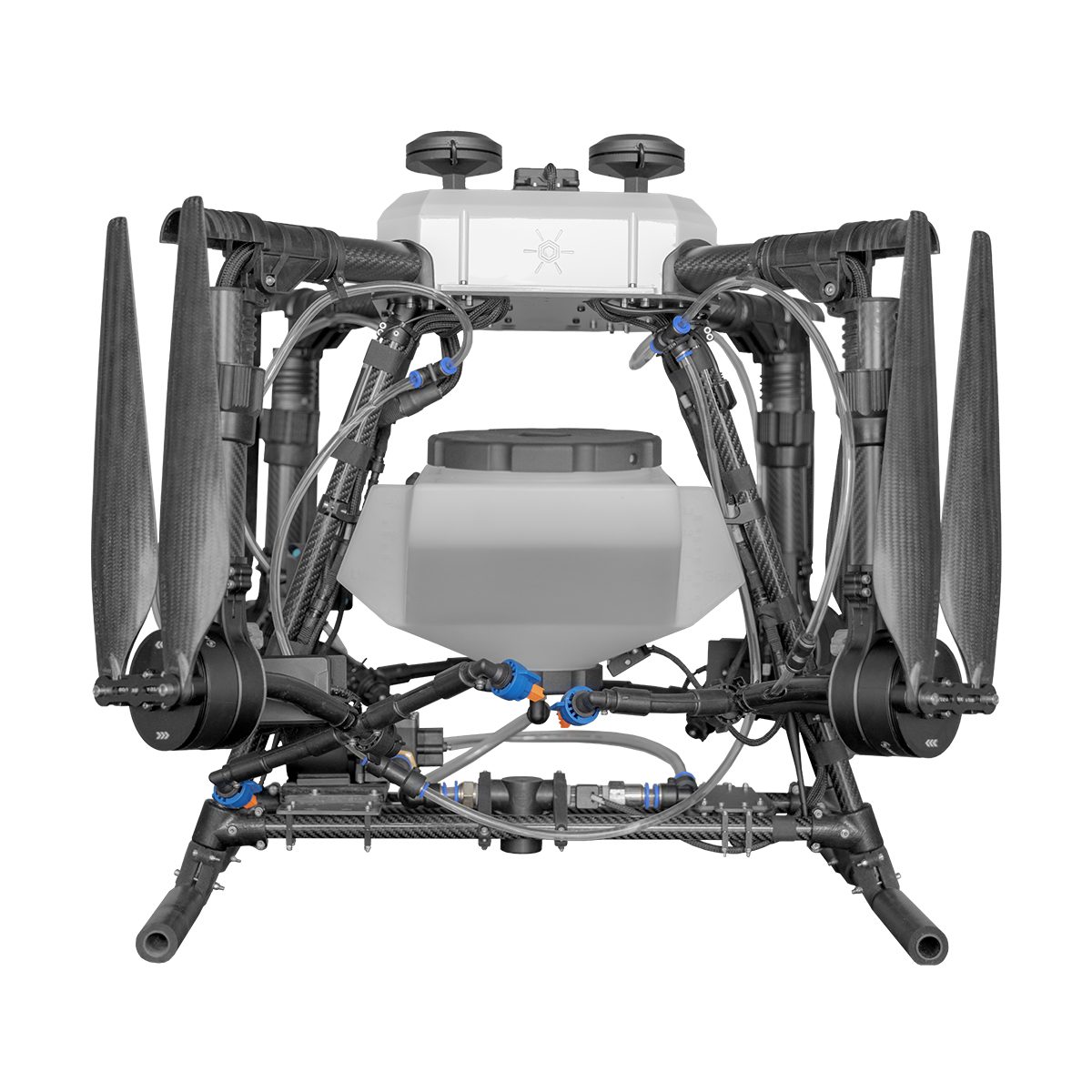
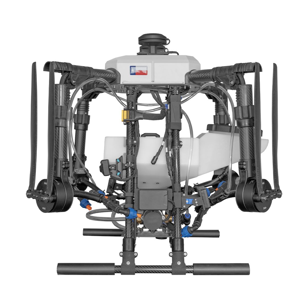
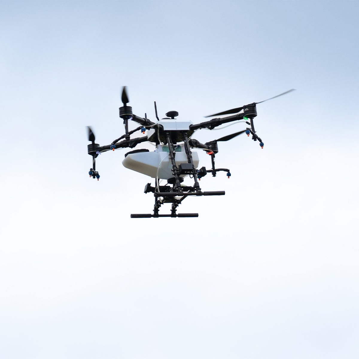
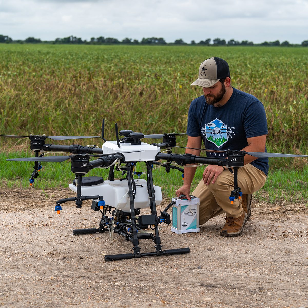
Hylio AG-210 CP-D-210 Drone
Call for PriceDesigned to Get the Job Done
Small but effective, the AG-210 is our most compact model. The AG-210 packs all the same powerful software and spray functionality into a smaller form factor. This platform is great for spot-spraying and can cover significant acreage when deployed in a swarm.Quick View