


Search results: “water resources” – Page 2
Showing 25–48 of 100 results
-

Schonstedt GA92XTD Magnetic Locator
Call for Price


Schonstedt GA92XTD Magnetic Locator
Call for PriceThe Schonstedt GA-92XTd Magnetic Locator detects the magnetic field of ferromagnetic objects. It responds to the difference in the magnetic field between two sensors that are spaced approximately 9.5 inches apart. This difference is referred to as the “signal strength” and is represented in the instrument by an audio tone, the display of a bar graph, and a numeric indication. In addition, the polarity of the signal strength is shown as a + or – sign on the display, and determines the side (right or left) on which the bar graph is displayed. Although most objects can be located using the audio indication alone, simultaneous use of the audio and visual responses will provide additional information to help you pinpoint a target and determine its orientation.
Quick View -

Nikon NE101 Electronic Digital
Call for Price

Nikon NE101 Electronic Digital
Call for PriceQuick View -

DJI Agras T40
Call for Price


DJI Agras T40
Call for PriceQuick View -

CT8X2 Rugged Android Tablet Non-EU Version
Call for Price


CT8X2 Rugged Android Tablet Non-EU Version
Call for PriceQuick View -
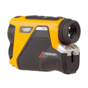
Laser Tech TruPulse 360i 7005855 Laser Rangefinder
Call for Price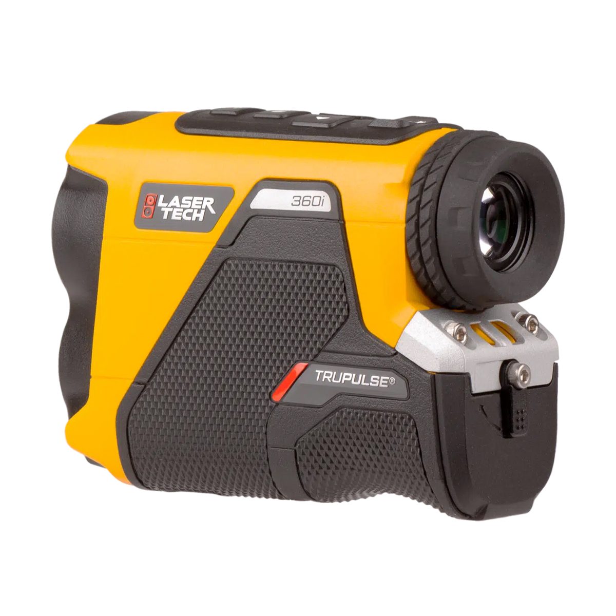
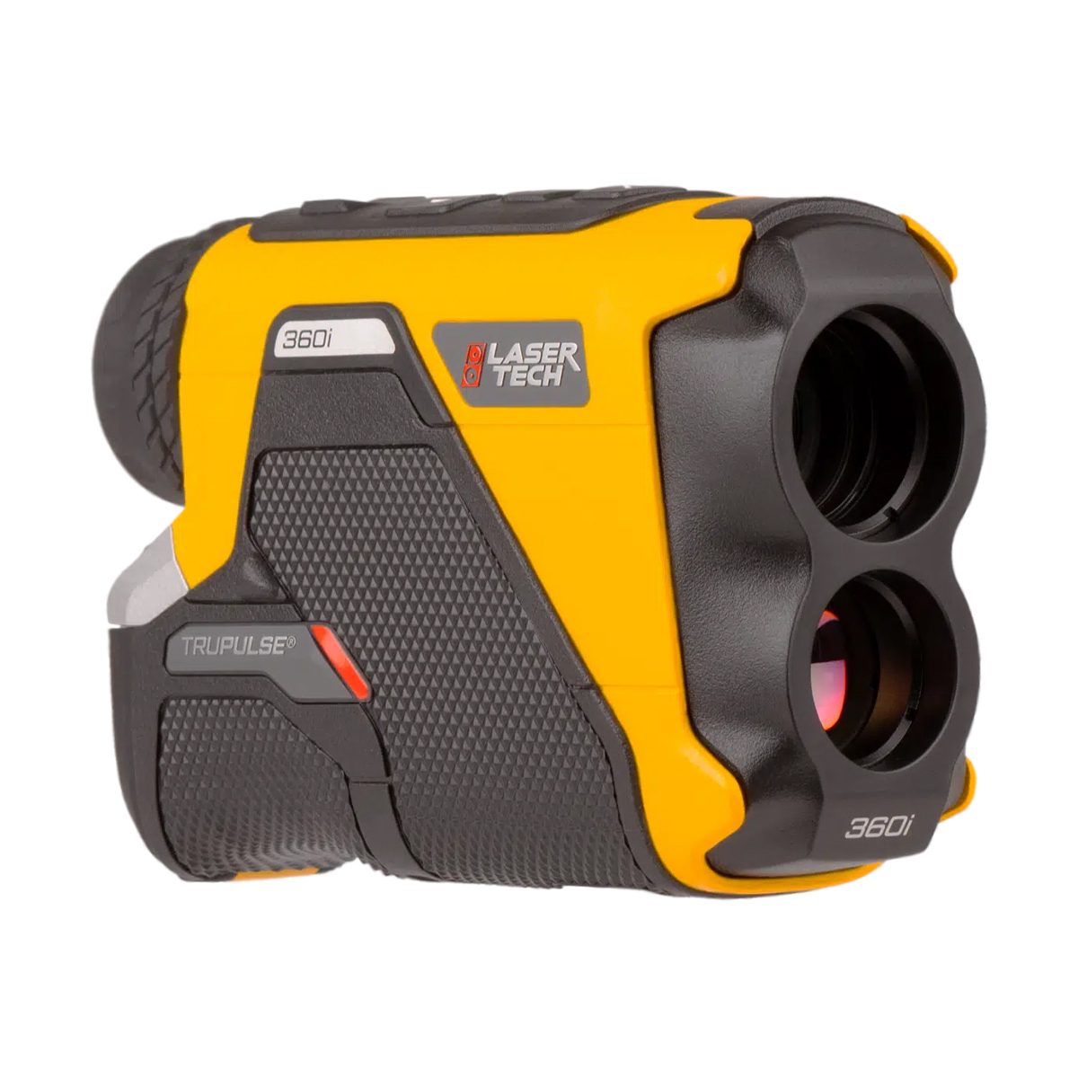
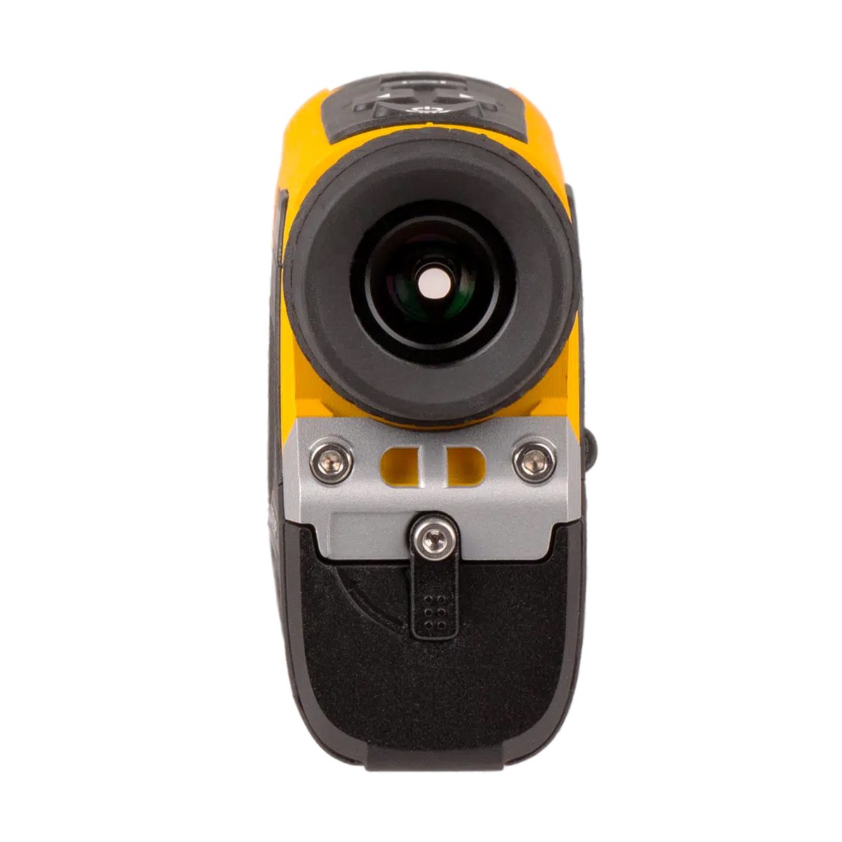
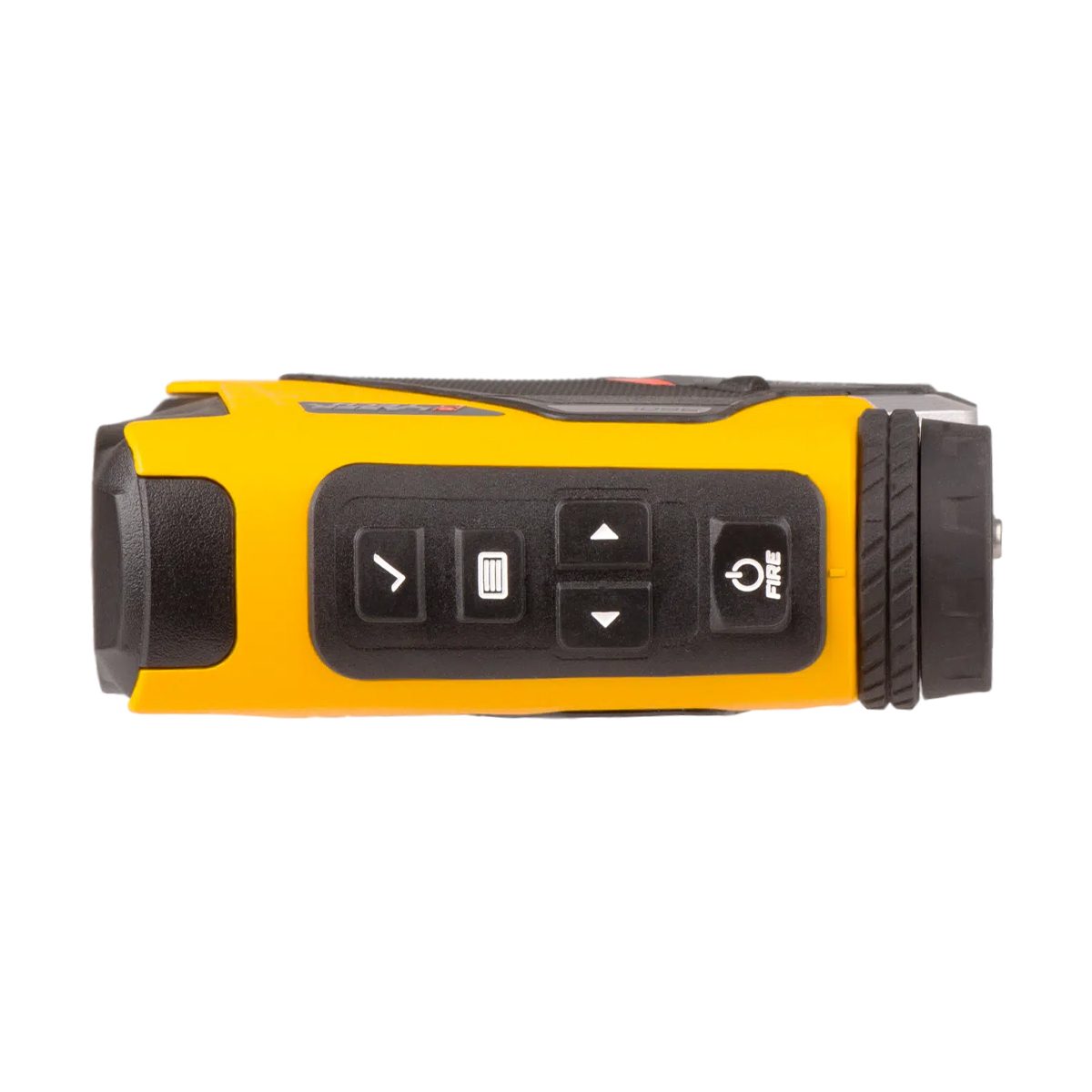
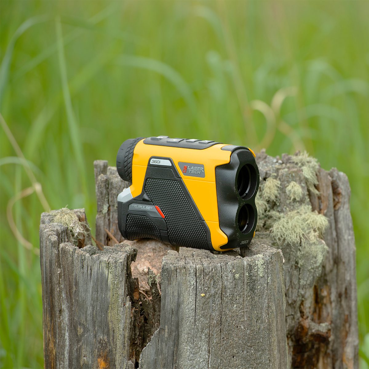

Laser Tech TruPulse 360i 7005855 Laser Rangefinder
Call for PriceLaser Tech TruPulse® 360𝗂
Bring this rugged and waterproof rangefinder with you anywhere and capture 3D data with TruVector® 360° Compass Technology. The TruPulse 360i fuses a tough, highly accurate, and intuitive next-generation rangefinder design with our patented TruVector 360° Compass Technology, enriching your laser measurements with azimuth data.
Quick View -
Seafloor Systems AutoNav Plus
Call for Price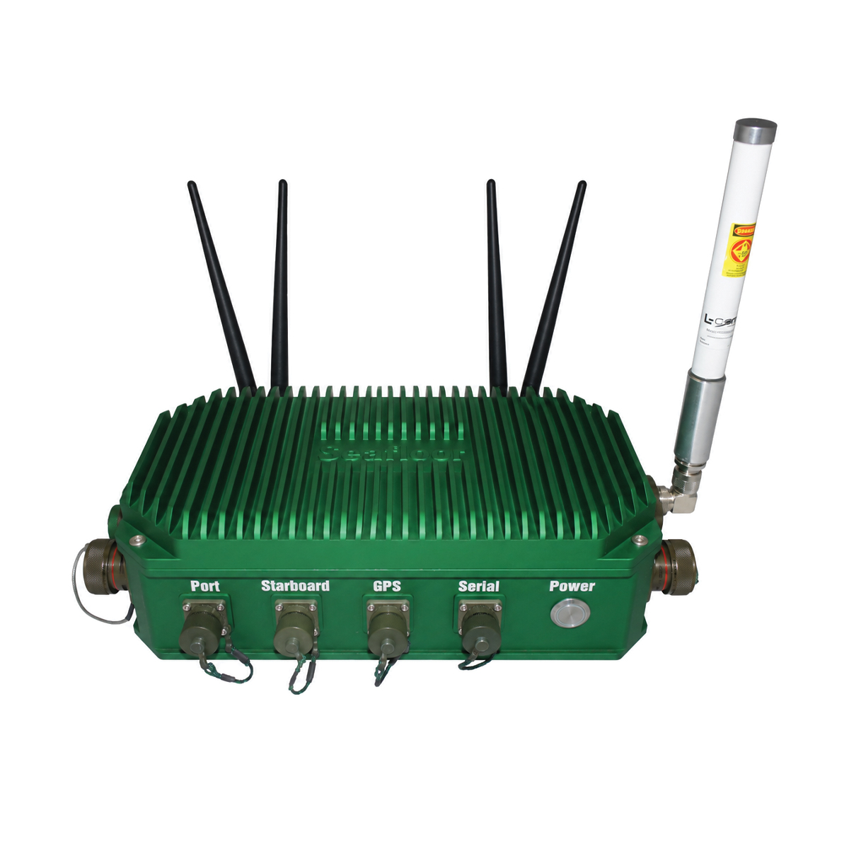
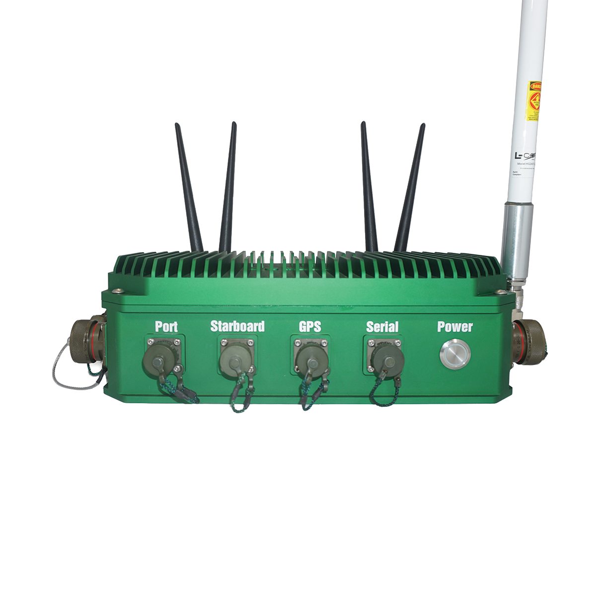
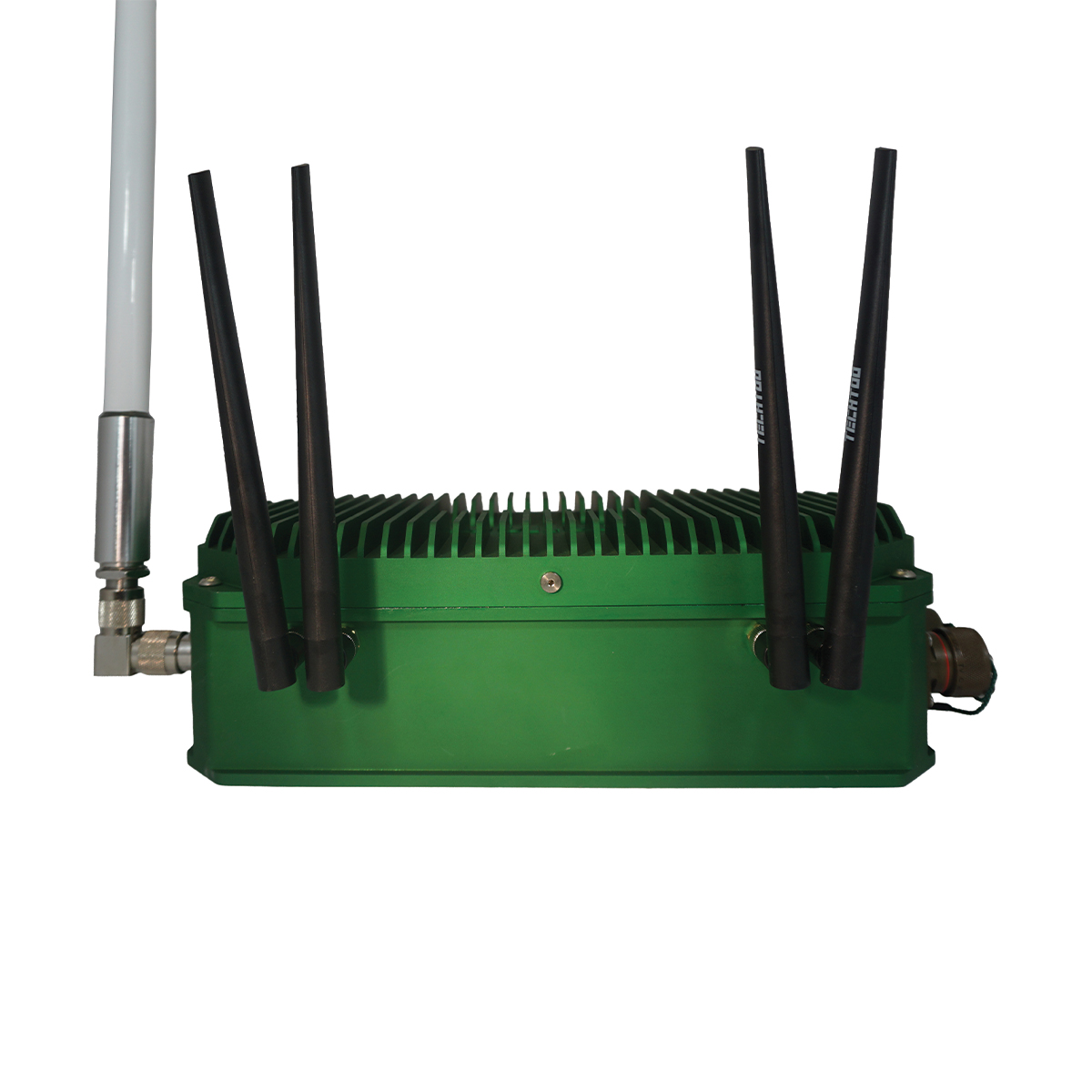
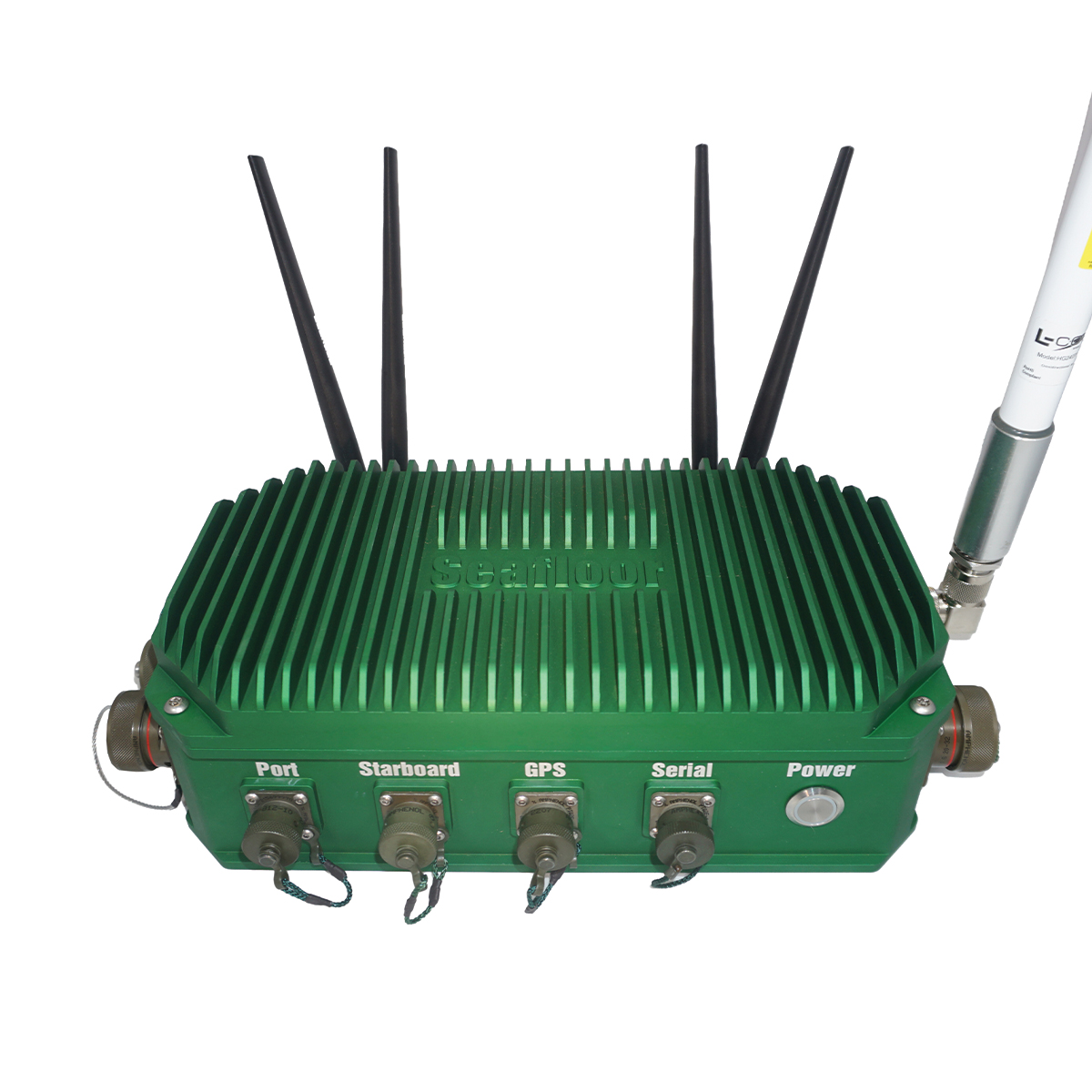

Seafloor Systems AutoNav Plus
Call for PriceSeafloor Systems AutoNav Plus
The AutoNav Plus™ combines the AutoNav™ control system, which enables USVs to navigate pre-programmed survey routes, with a long range communication control system and built-in computer for data logging and control of 3rd party applications. The system was designed to log GPS and echosounder data locally on the USV’s onboard computer, utilizing hydrographic survey software or other Windows-based data collection software.
Quick View -
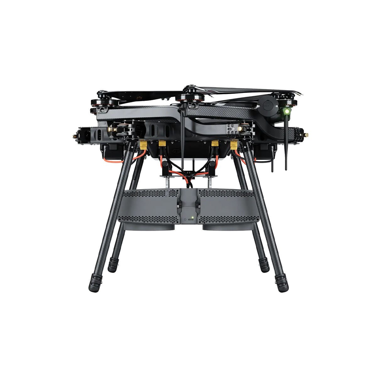
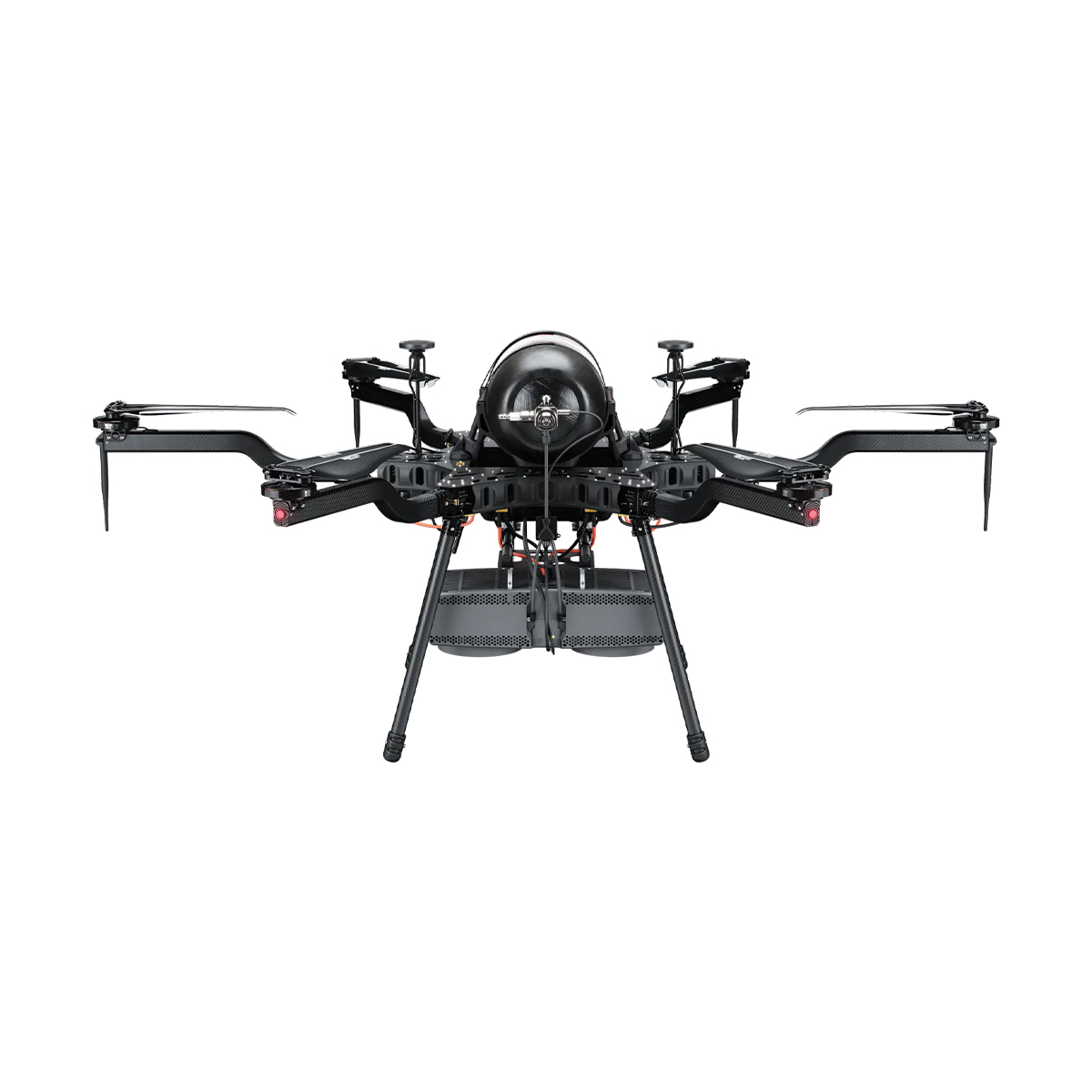
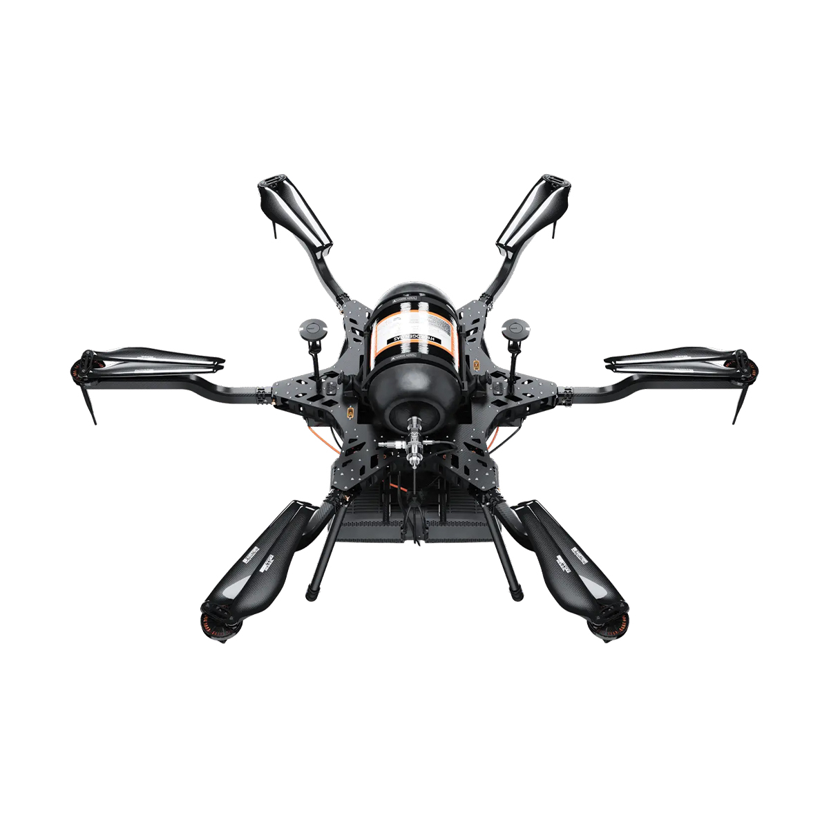
Harris Aerial H6 Hydrone
Call for Price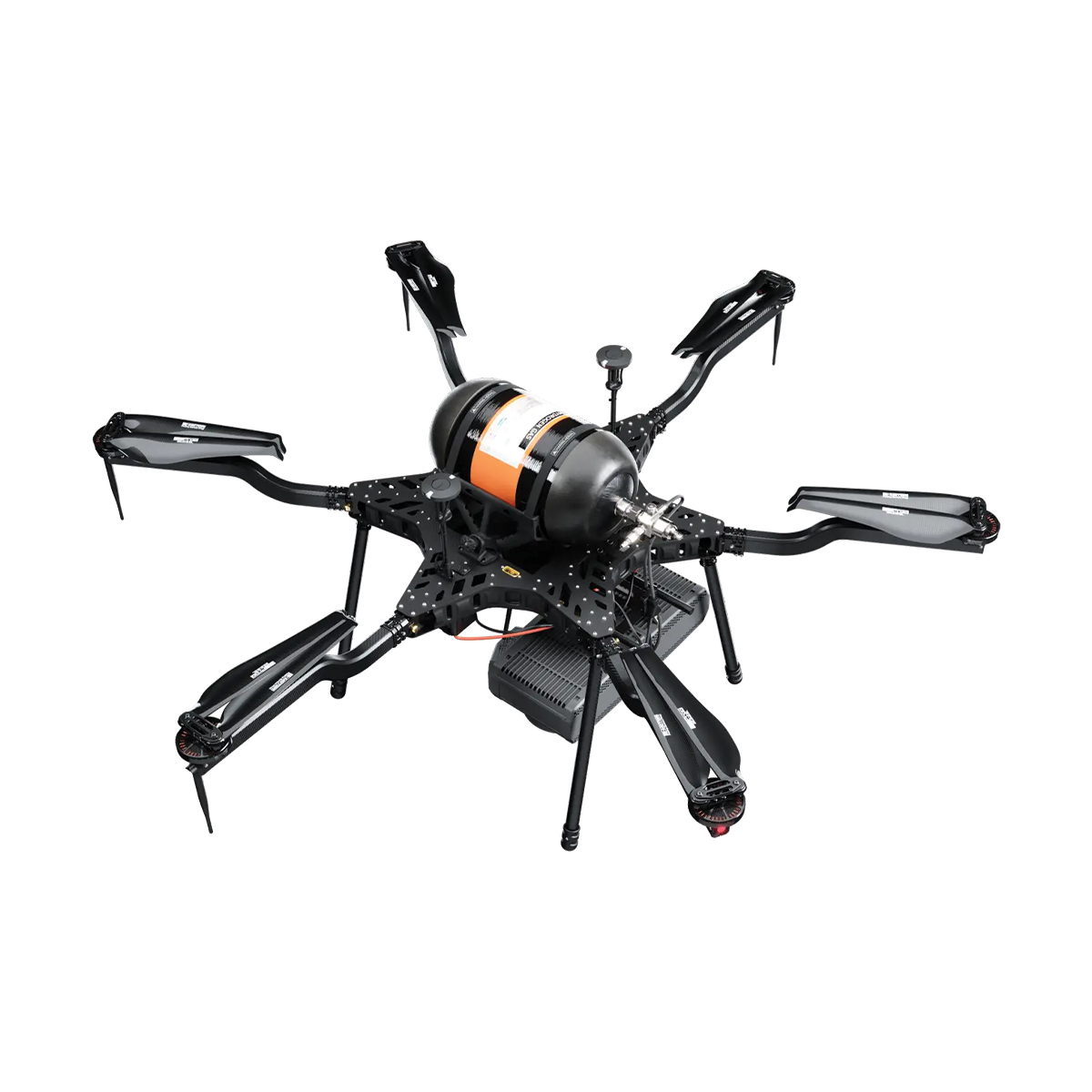

Harris Aerial H6 Hydrone
Call for PriceHarris Aerial H6 Hydrone
Extended Silent Flight. The Carrier H6 Hydrone uses highly efficient hydrogen-electric conversion to produce clean DC power in a robust, lightweight package. It delivers extreme hybrid flight times while maintaining the nearly silent operation of an all-electric multirotor.
As part of the H6 family, it remains fully convertible to gas-electric or all-electric power formats in minutes — one airframe, three power systems.
Quick View -
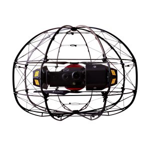
Flybotix KMC0001.02.00_Nd ASIO X Drone – NDAA Approved
Call for Price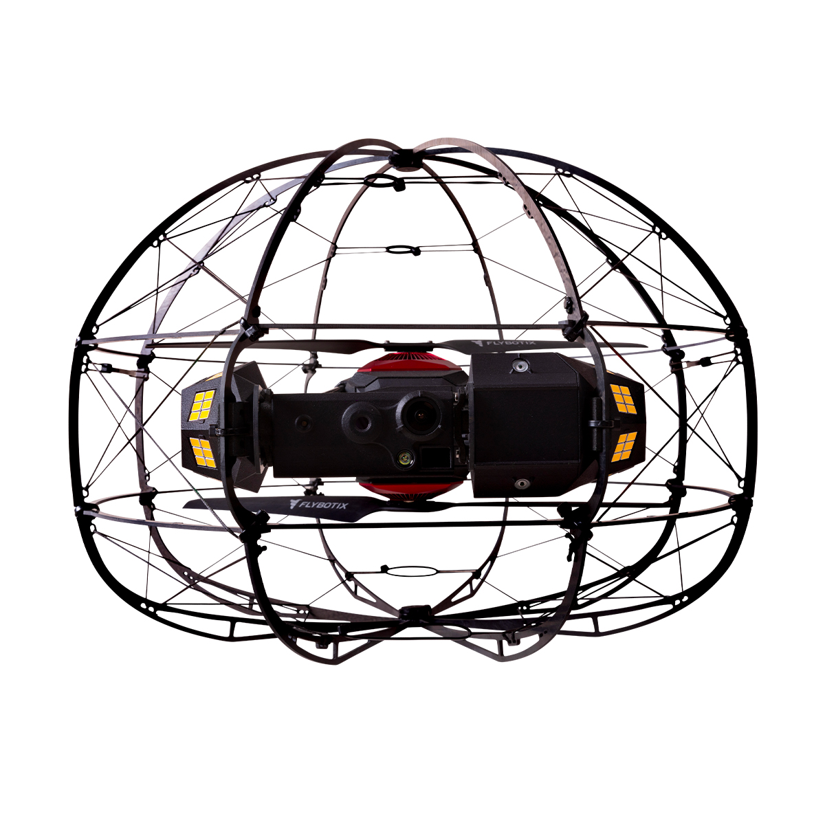
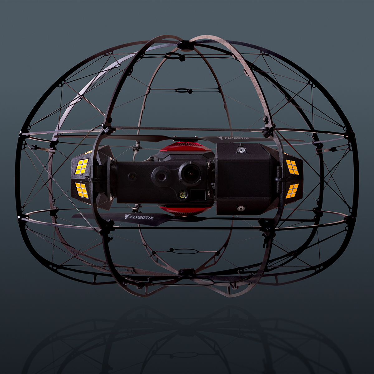
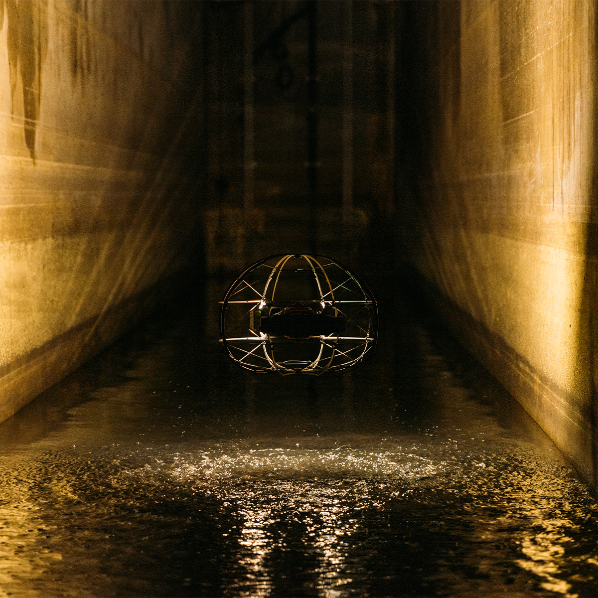
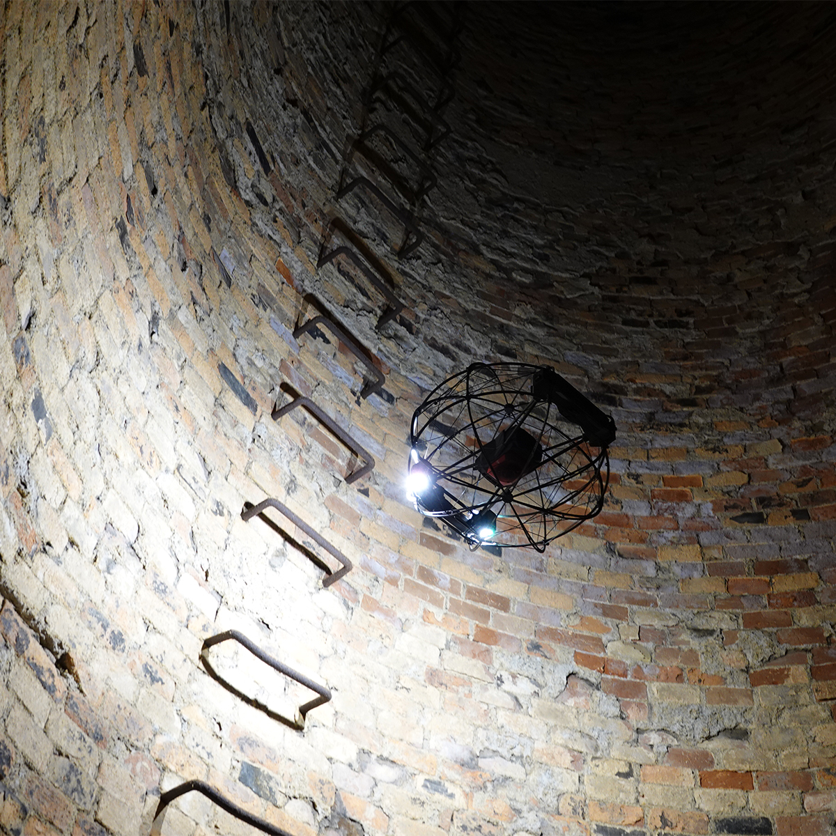
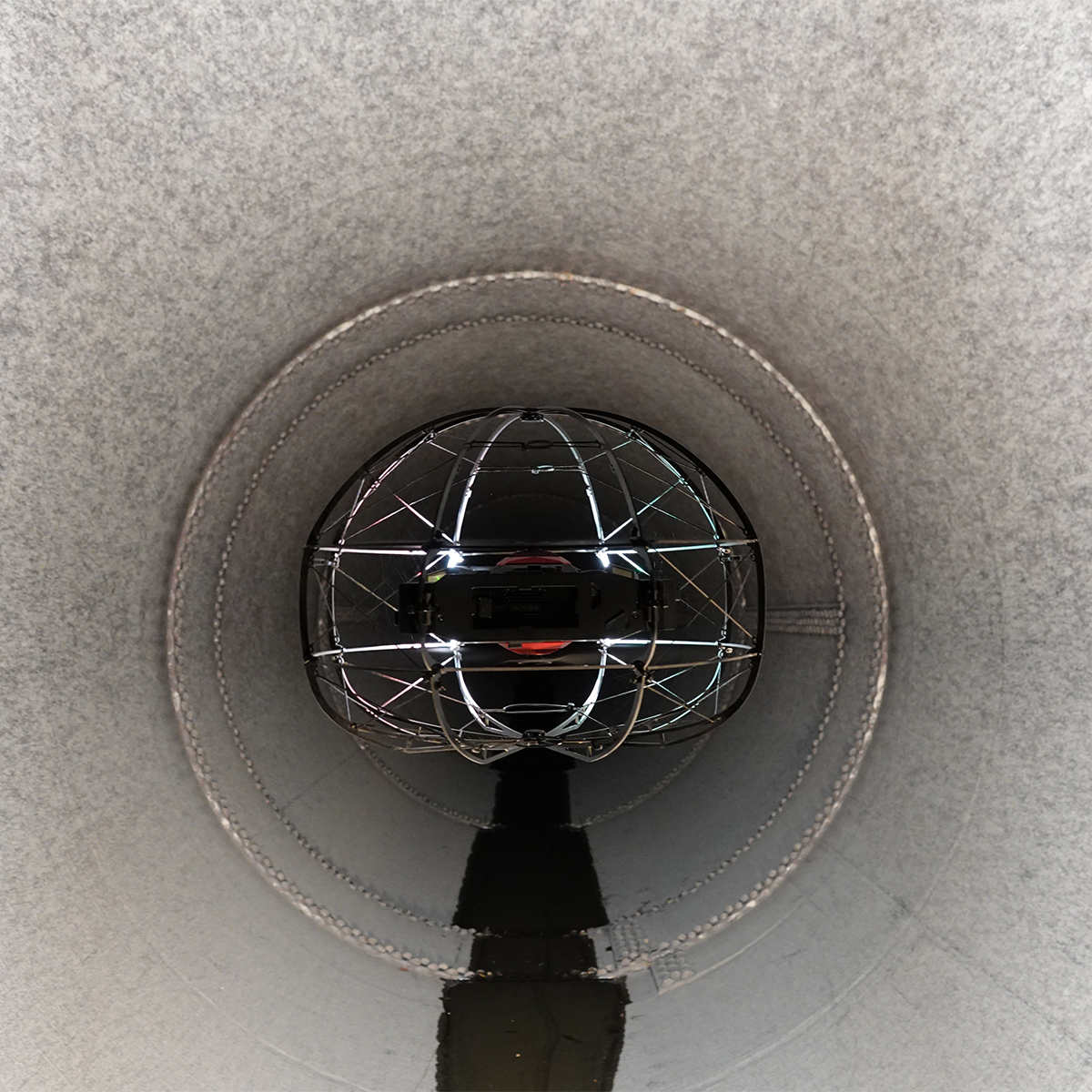
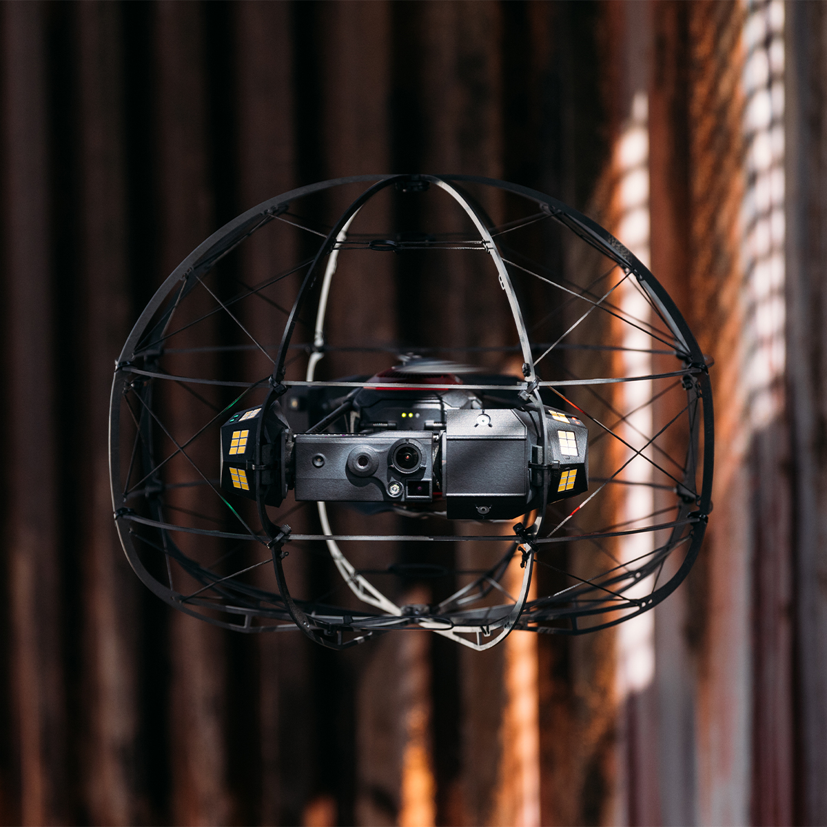
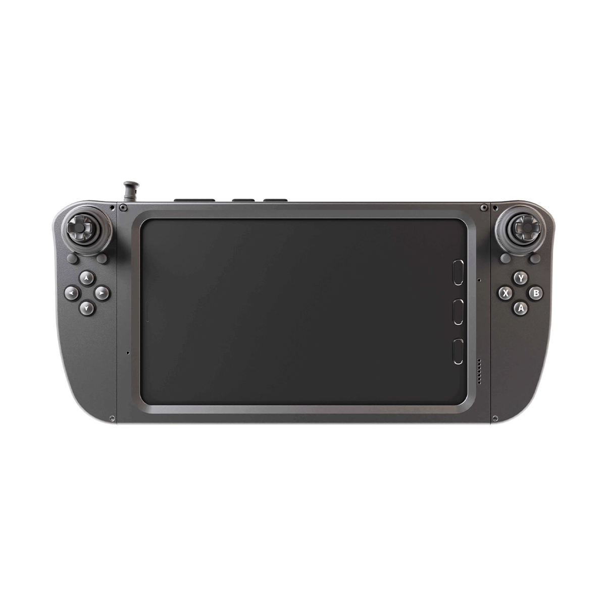
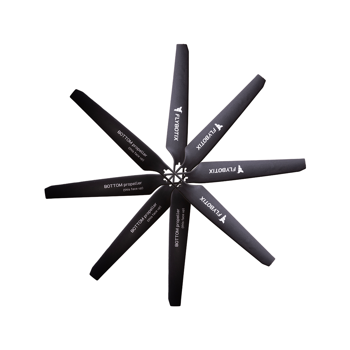
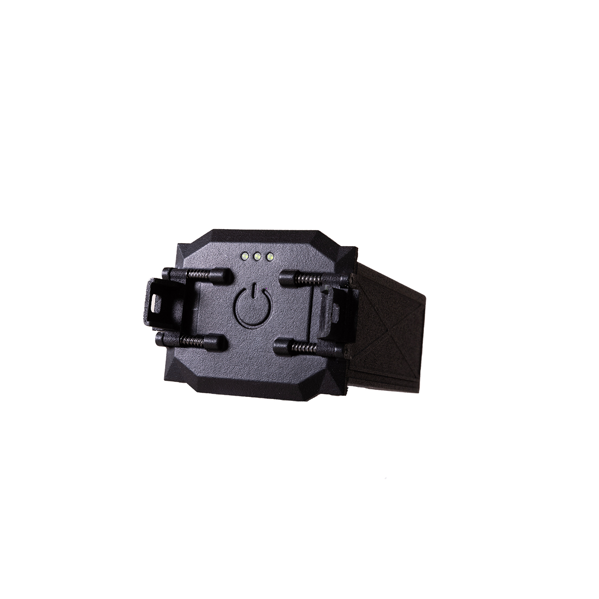
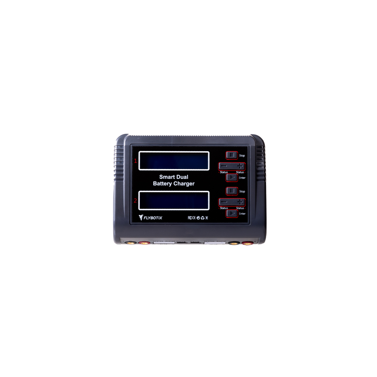



Flybotix KMC0001.02.00_Nd ASIO X Drone – NDAA Approved
Call for PriceFlybotix KMC0001.02.00_Nd ASIO X Drone – NDAA Approved
Drone-based solution for inspection and digitization of confined spaces.
The Flybotix ASIO X is an advanced, commercial-grade indoor inspection drone explicitly engineered to navigate hazardous, GPS-denied, and confined spaces.Quick View -
Flybotix KMC0001-02.00_BaHo ASIO X Drone – Black Herelink
Call for Price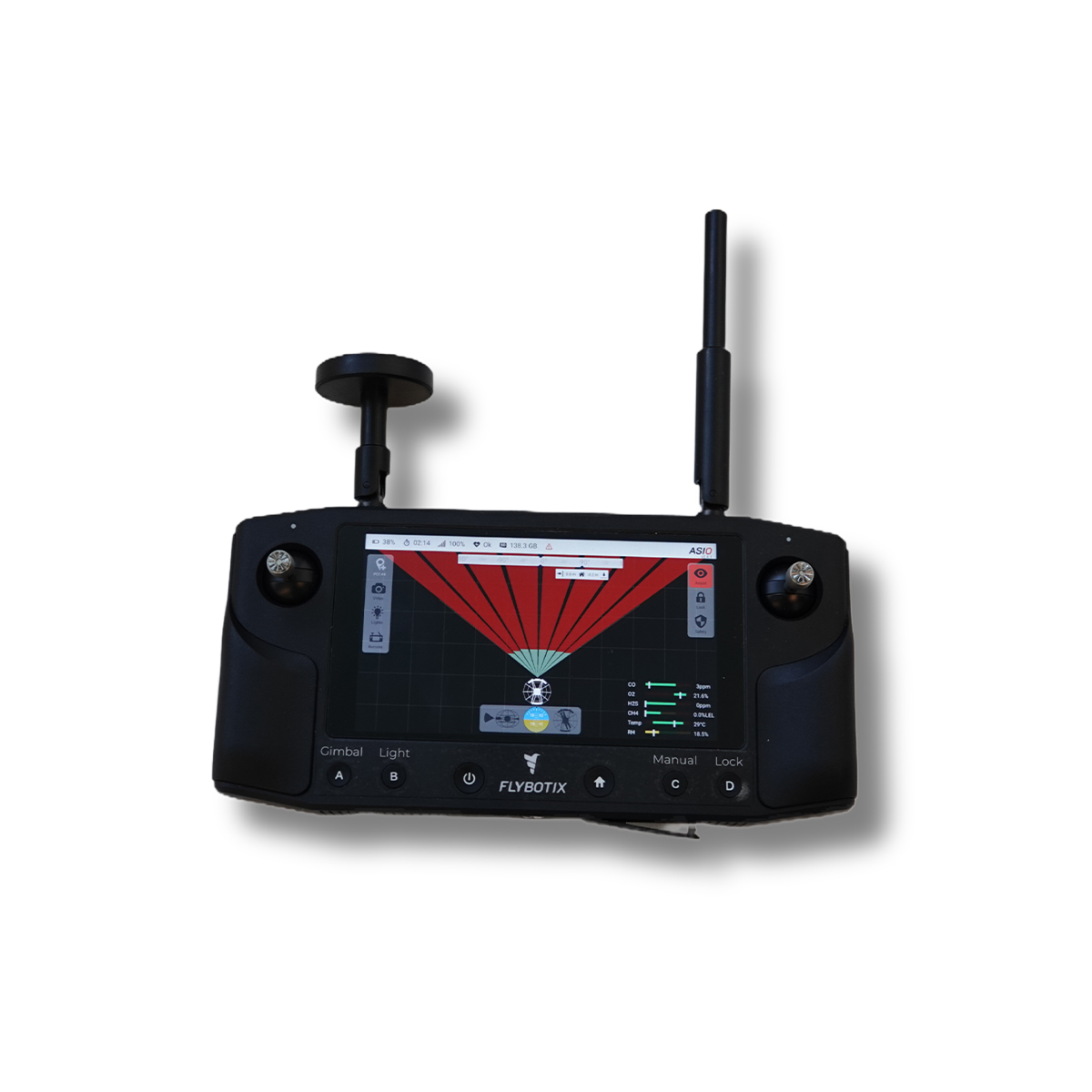
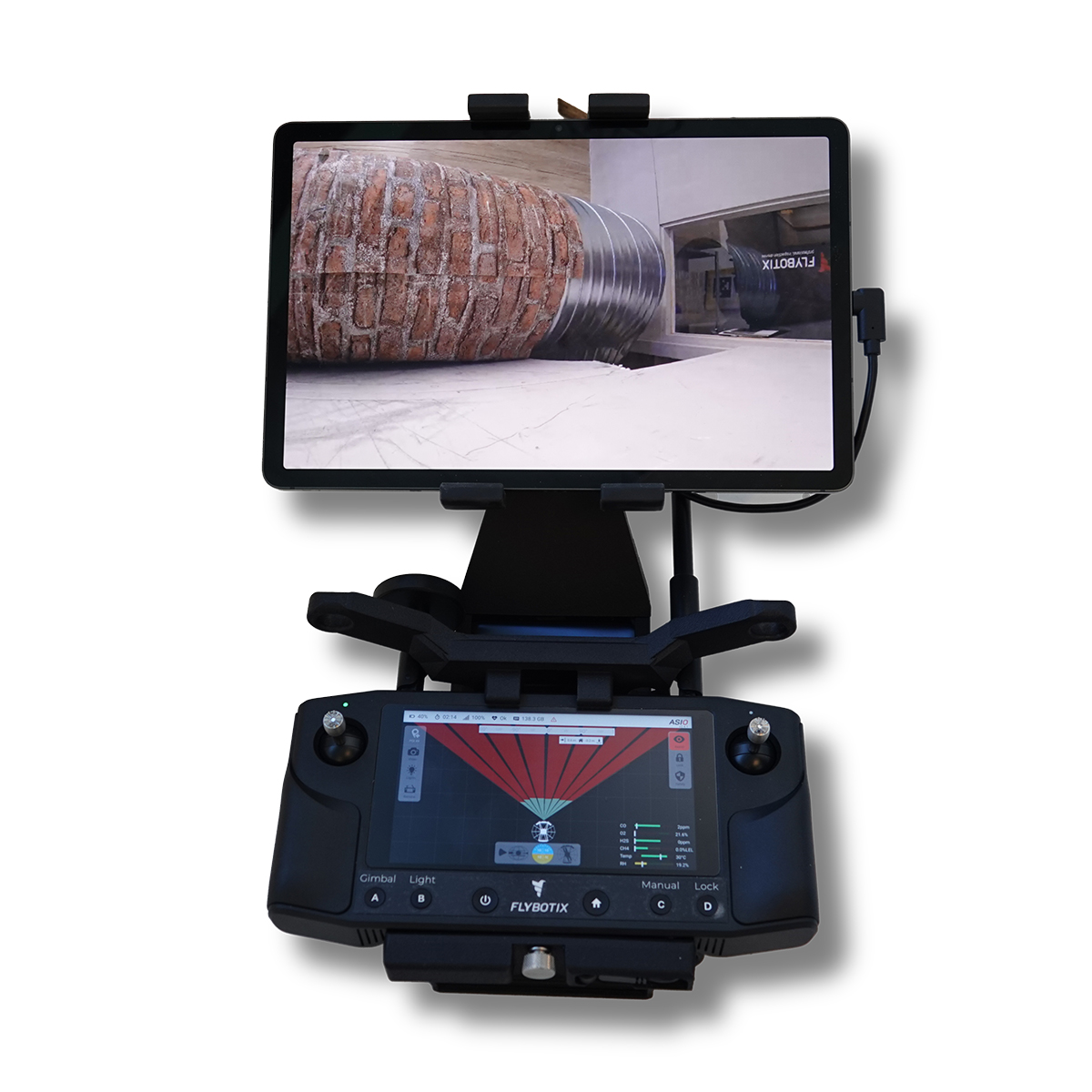
Flybotix KMC0001-02.00_BaHo ASIO X Drone – Black Herelink
Call for PriceFlybotix KMC0001-02.00_BaHo ASIO X Drone – Black Herelink
Drone-based solution for inspection and digitization of confined spaces.
The Flybotix ASIO X is an advanced, commercial-grade indoor inspection drone explicitly engineered to navigate hazardous, GPS-denied, and confined spaces.Quick View -
Flybotix KMC0001-02.00_BuHo ASIO X Drone – Blue Herelink
Call for Price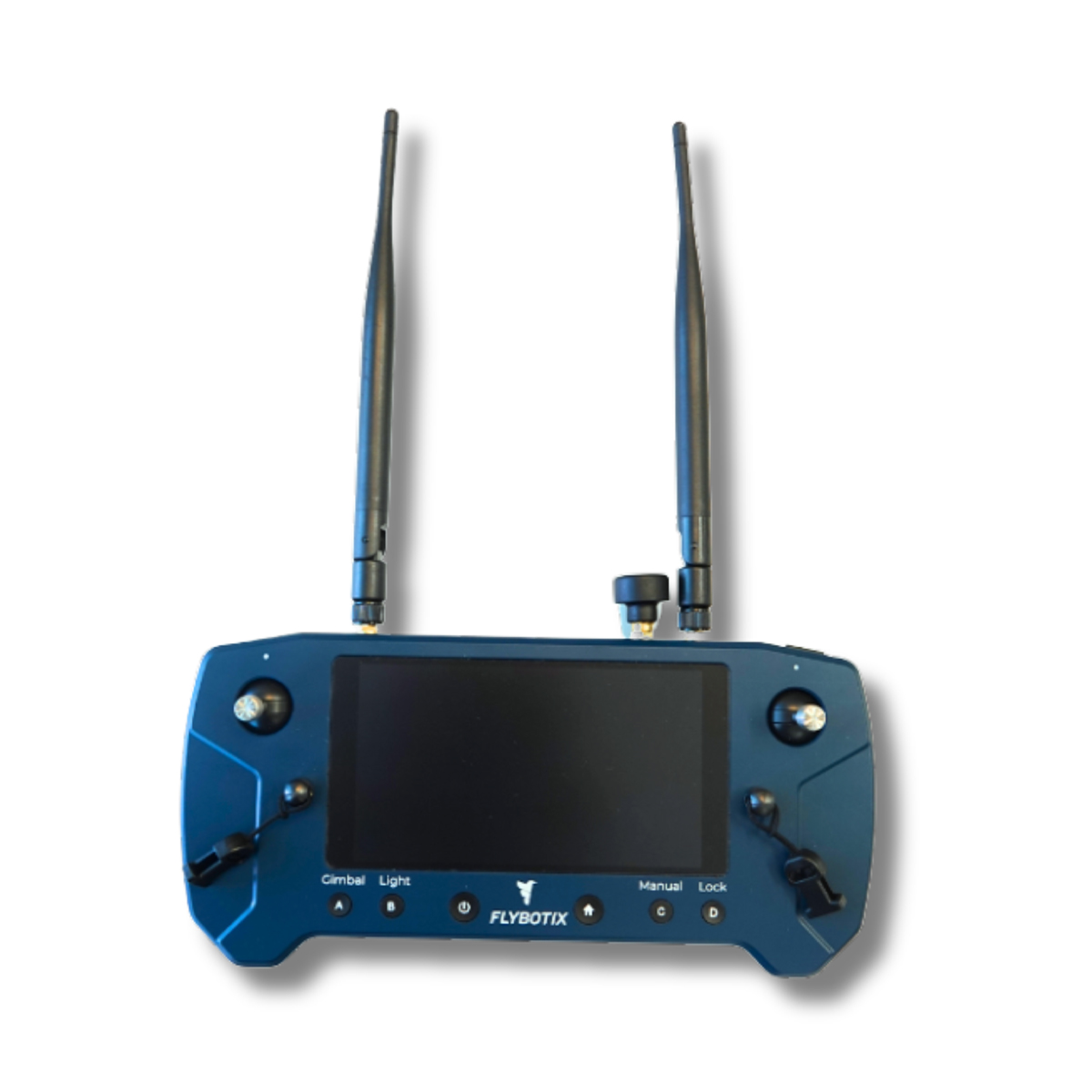
Flybotix KMC0001-02.00_BuHo ASIO X Drone – Blue Herelink
Call for PriceFlybotix KMC0001-02.00_BuHo ASIO X Drone – Blue Herelink
Drone-based solution for inspection and digitization of confined spaces.
The Flybotix ASIO X is an advanced, commercial-grade indoor inspection drone explicitly engineered to navigate hazardous, GPS-denied, and confined spaces.Quick View -

Trimble Roadworks Paving Control Platform for Asphalt Pavers
Call for Price
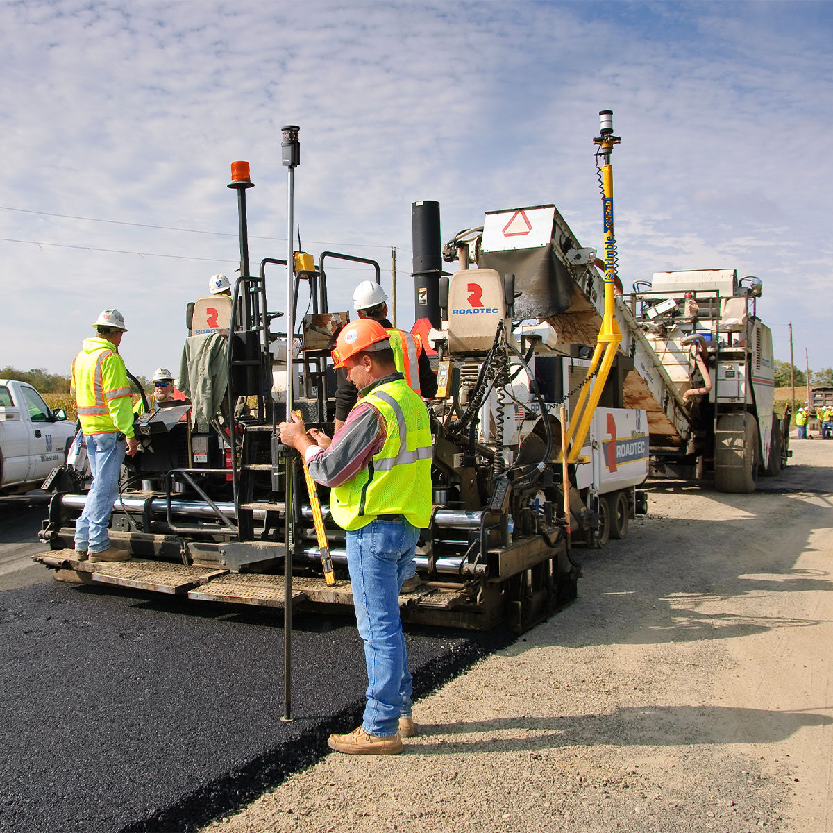
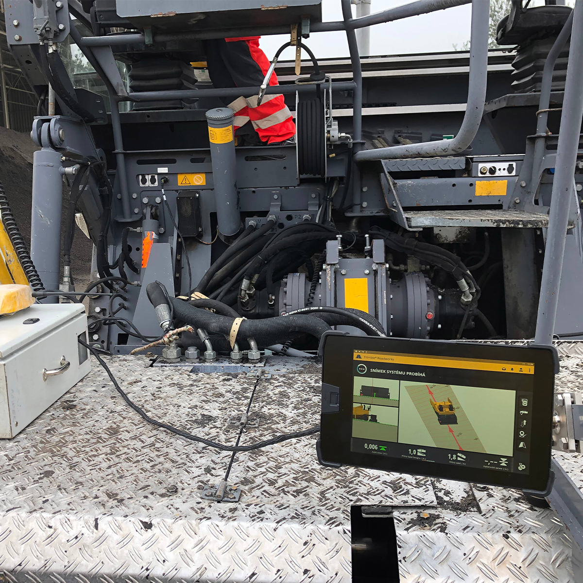
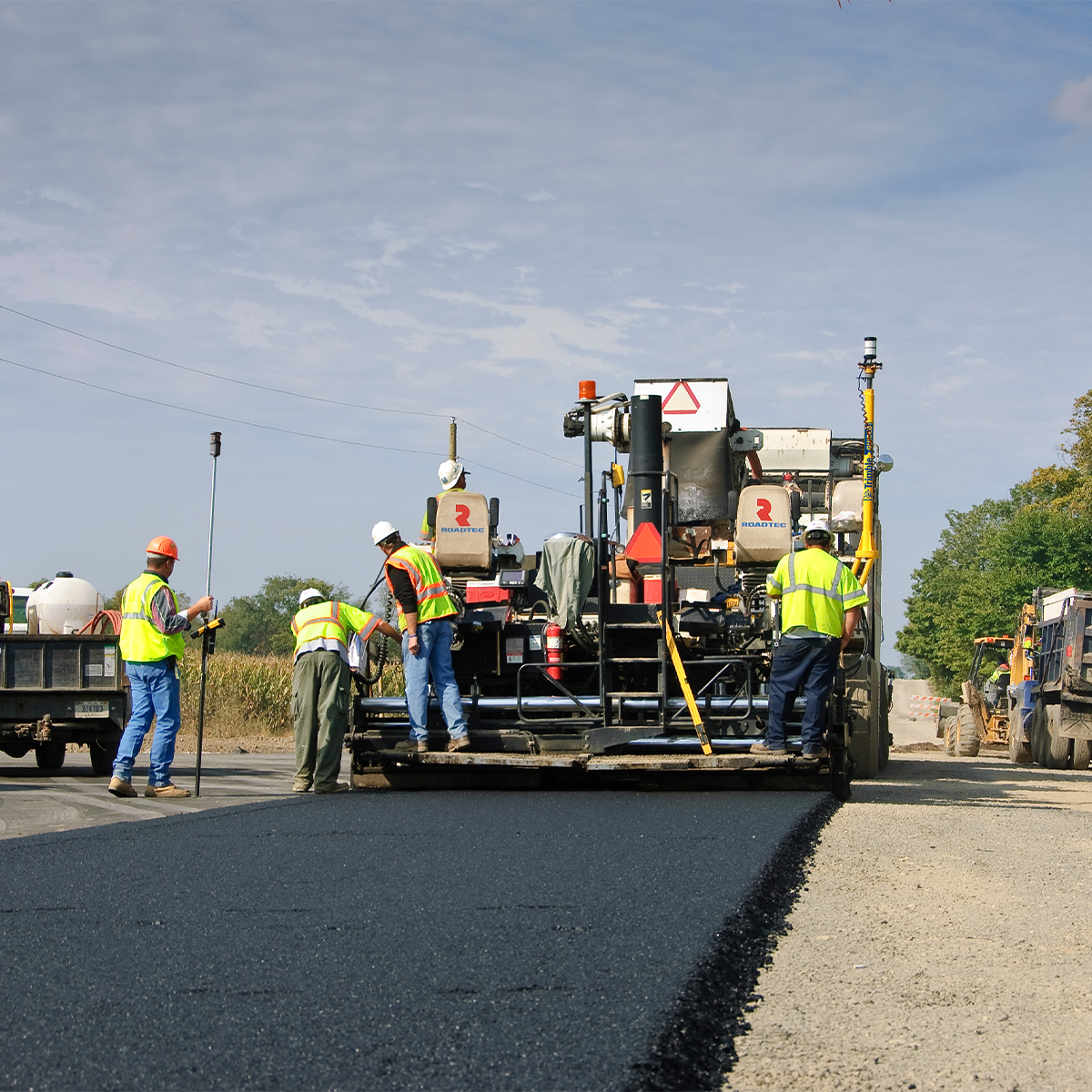
Trimble Roadworks Paving Control Platform for Asphalt Pavers
Call for PriceONLY AVAILABLE FOR DELIVERY IN ALASKA.
Trimble Roadworks Paving Control Platform for Asphalt Pavers
The Trimble® Roadworks Paving Control Platform for Asphalt Pavers is designed to help you do more in less time. Our innovative, next-generation paving control platform features intuitive, easy-to-learn software that runs on an Android™ operating system. State-of-the-art software and hardware give operators of all skill levels the ability to work faster and more productively than ever before.
Quick View -
Trimble TDC601 TDC6 Handheld Data Collector
Call for Price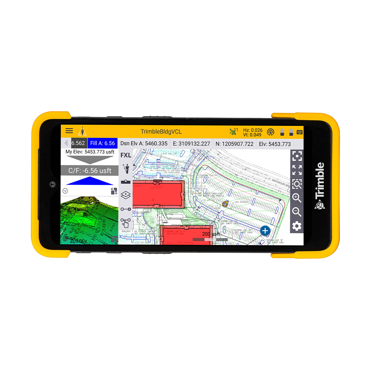
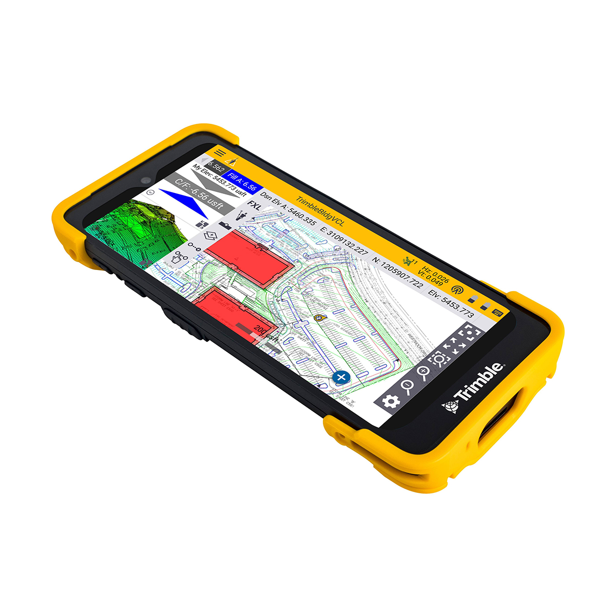
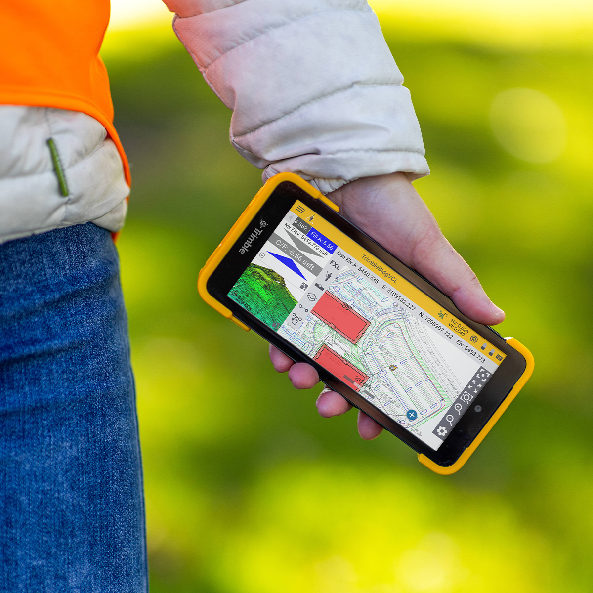
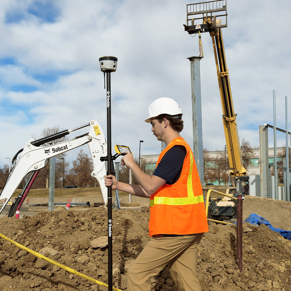
Trimble TDC601 TDC6 Handheld Data Collector
Call for PriceONLY AVAILABLE FOR DELIVERY IN ALASKA.
Trimble TDC601 TDC6 Handheld Data Collector
Tough, Cost-effective and Connected Compact Field Computer
The Trimble® TDC6 Handheld Data Collector is a lightweight, rugged controller for GNSS operations. The easy-to-use TDC6 allows contractors to work with complex 3D data sets more effectively in the field, connect to the office for on-the-spot approvals and communicate changes to field crews. The TDC6 is a high-performing data controller that offers a cost-effective solution to connect a larger number of operators and enhance field communications.Quick View -
Trimble TABT703 T7 Tablet
Call for Price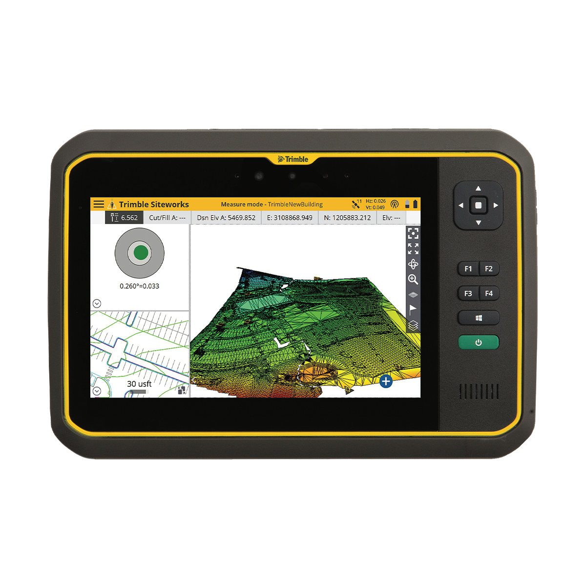


Trimble TABT703 T7 Tablet
Call for PriceONLY AVAILABLE FOR DELIVERY IN ND, SD, MN, CO, AK, MT, ID, HI, WY, OR, & WA.
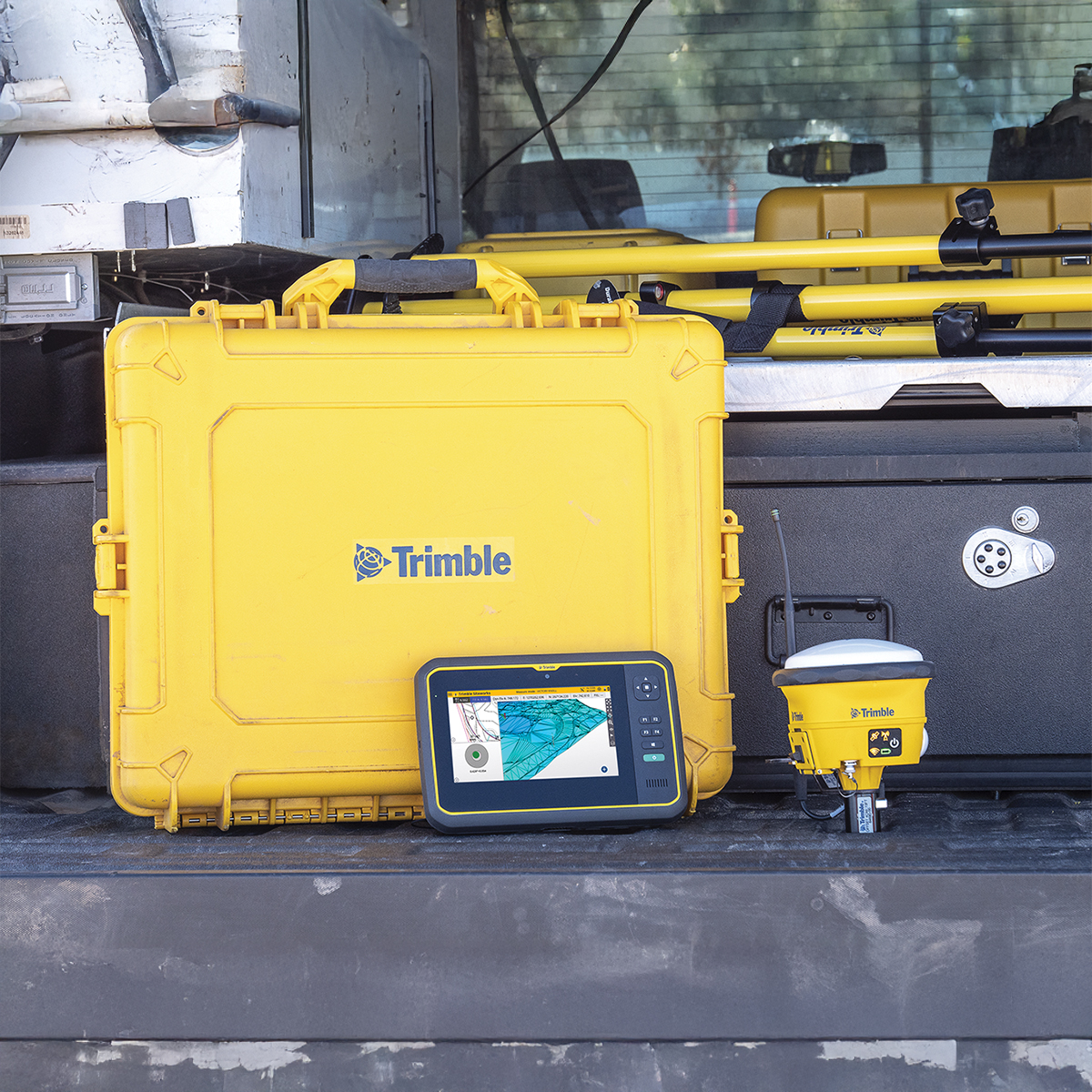
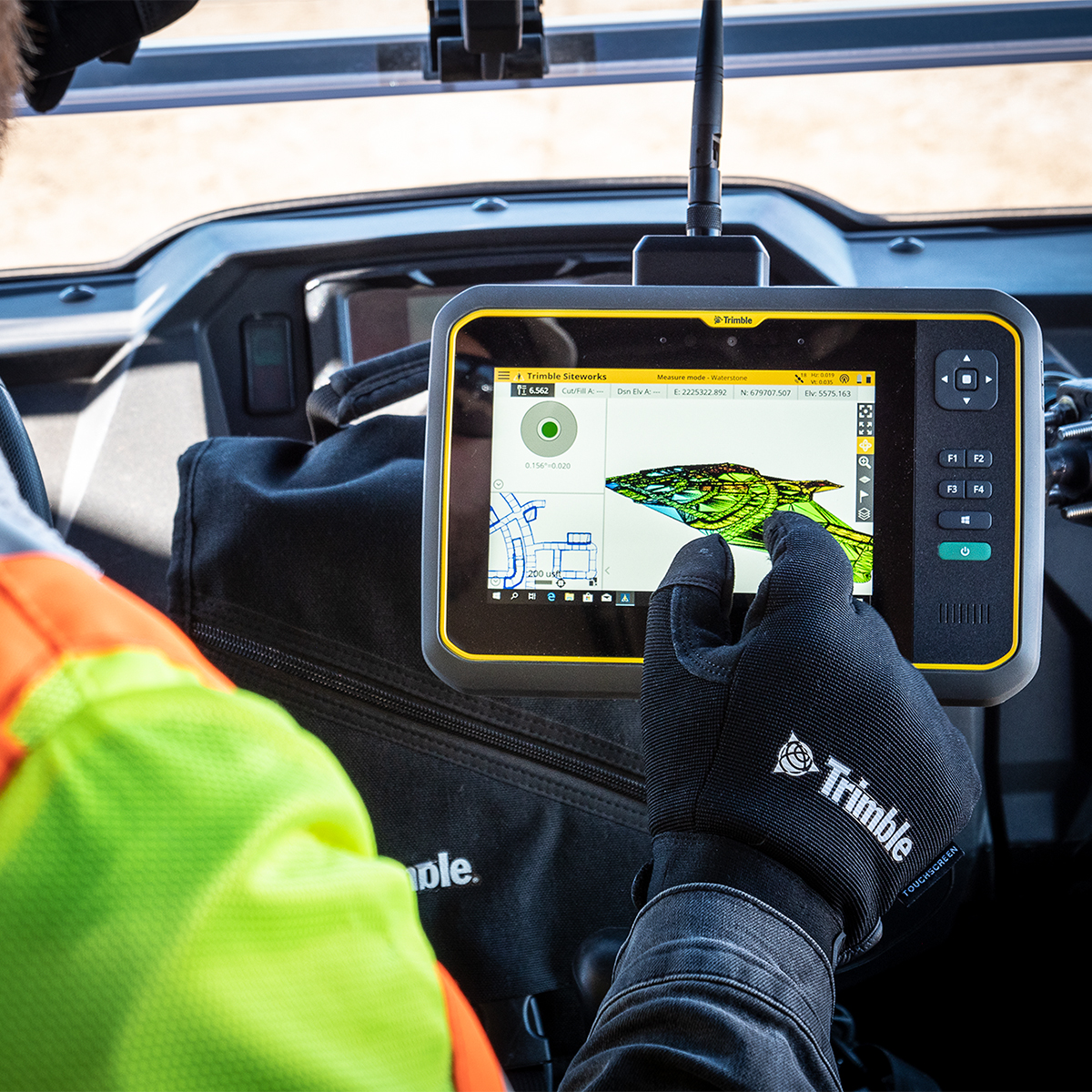
Trimble TABT703 T7 Tablet
Tough, Portable and Connected Compact Field Computer
The Trimble® T7 Tablet is a lightweight, rugged handheld controller for GNSS or total station operations. The easy-to-use T7 Tablet allows contractors to work with larger, more complex 3D data sets more effectively in the field, connect to the office for on-the-spot approvals and communicate changes to field crews. From the field, to the truck cab, to the office, teams stay connected and work faster.Quick View -

Spectra Precision LL1505C Laser Level
Call for Price


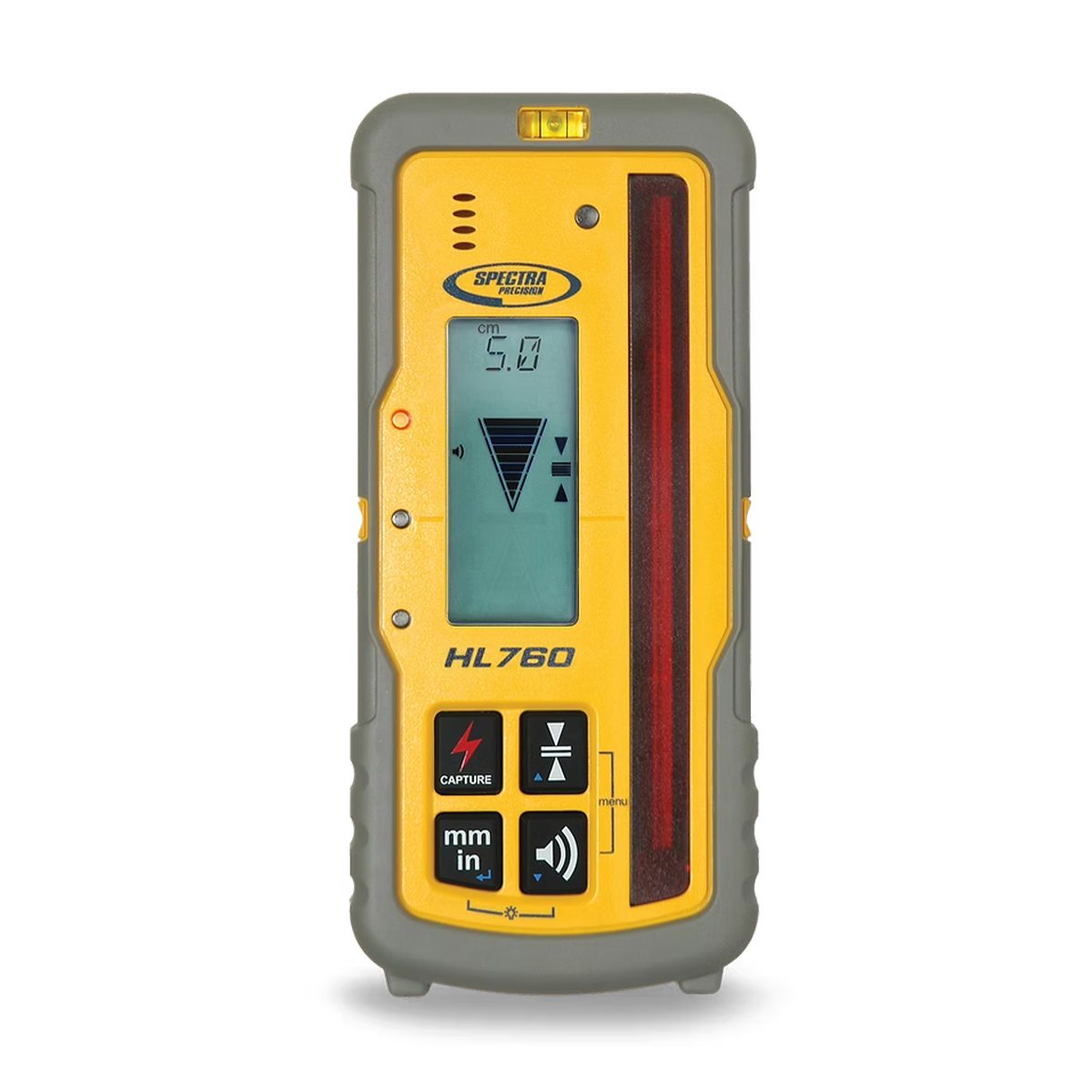

Spectra Precision LL1505C Laser Level
Call for PriceSpectra LL1505C laser level prepared to perform at all times.
The automatic, self-leveling Spectra Precision® LL1505C Laser Level is the most rugged laser level available, tough enough to handle a wide variety of general and concrete construction applications. The rugged laser can withstand drops of up to 1 meter (3 feet) onto concrete and tripod tip overs up to 1.5 meters (5 feet). This strength, combined with full weatherproofing and dustproofing, reduces downtime and lowers repair costs over the life of the product.
Quick View -
Trimble X9-100-01-GEO X9 3D Laser Scanning System
Call for Price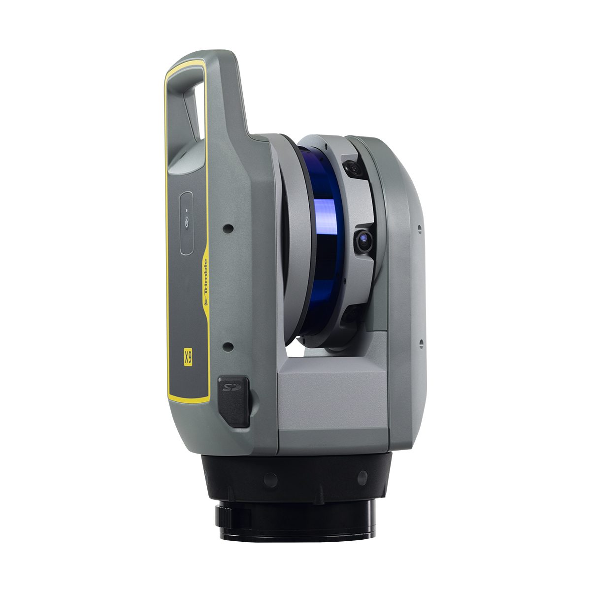
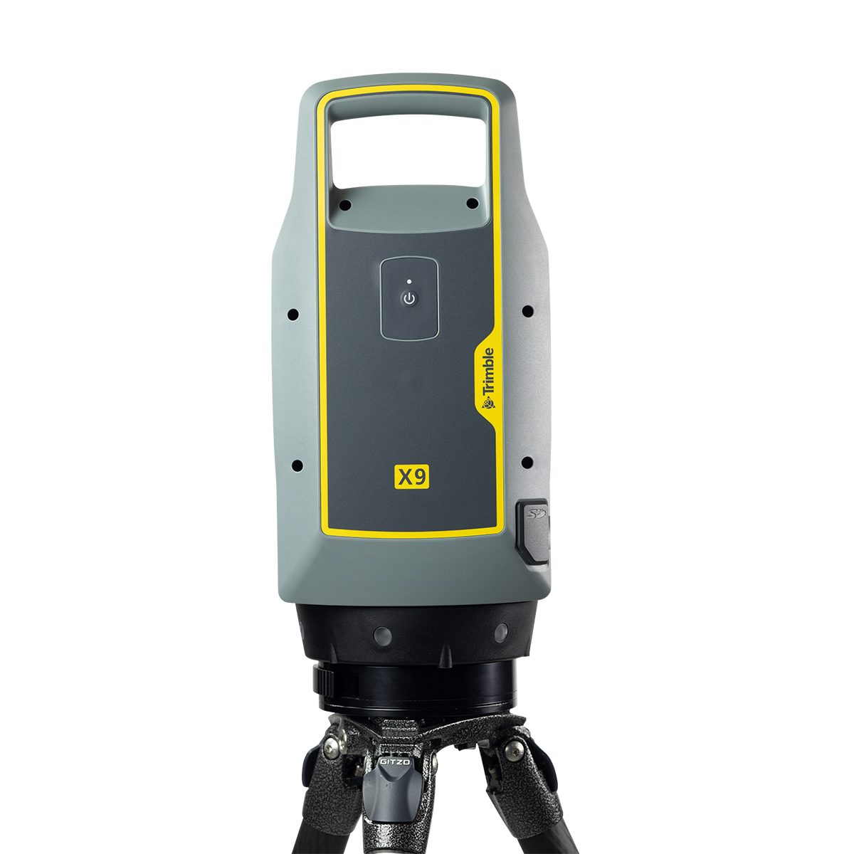
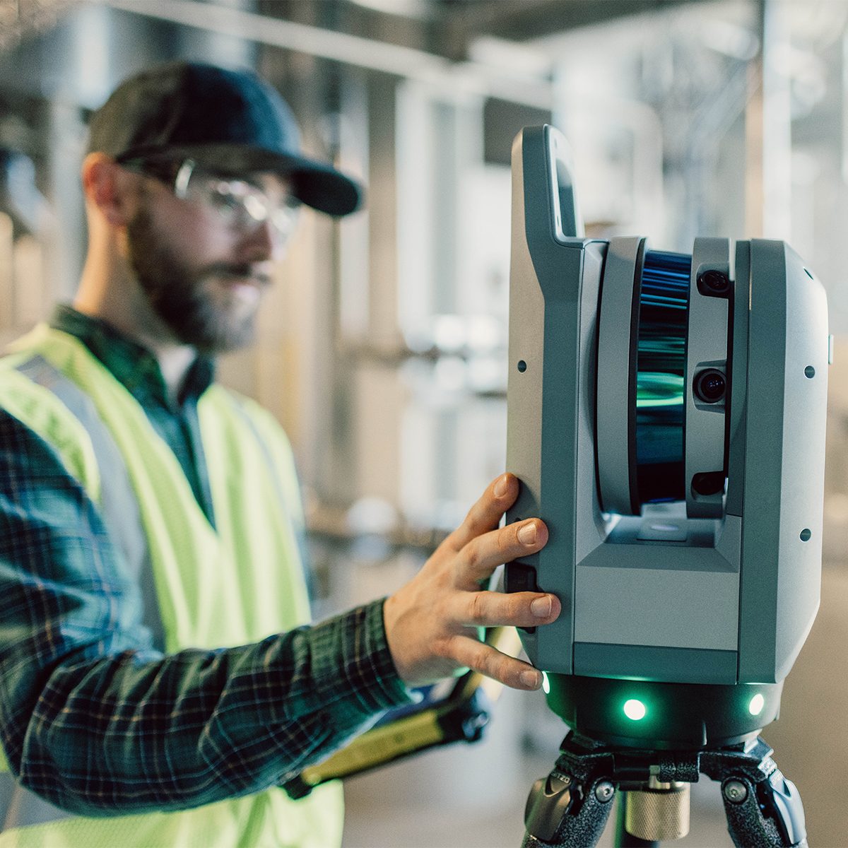
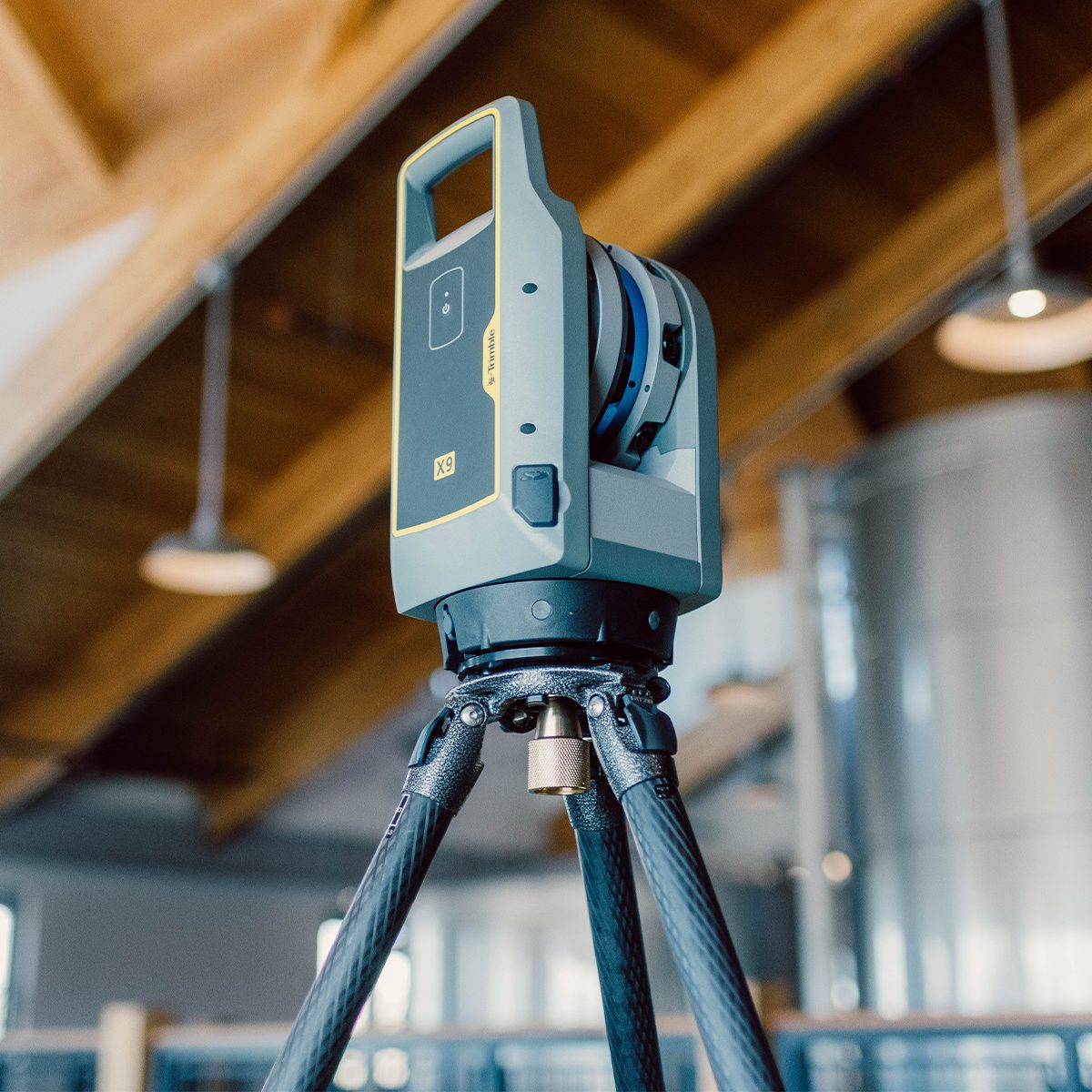

Trimble X9-100-01-GEO X9 3D Laser Scanning System
Call for PriceONLY AVAILABLE FOR DELIVERY IN ND, SD, MN, CO, AK, MT, ID, HI, WY, OR, & WA.
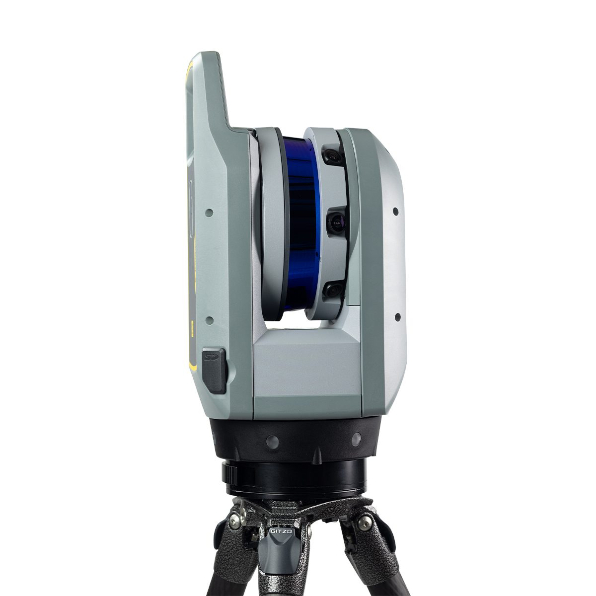
Trimble X9-100-01-GEO X9 3D Laser Scanning System
The power to do more, on your terms.The Trimble® X9 3D laser scanning platform leverages proven Trimble technology to deliver the range, accuracy, speed and sensitivity you need to do more. With flexible licensing plan options, choose the scanning functionality that fits your project needs.
Quick View -

Schonstedt Spot Magnetic Locator
Call for Price

Schonstedt Spot Magnetic Locator
Call for PriceThe Schonstedt Spot Magnetic Locators detect the magnetic field of iron and steel objects. With engineering and accuracy equal to the GA-52Cx, in a sleek, ultralight-weight package with improved ergonomics, Spot is IP54 rated and comes with a 7-year warranty!
Quick View -

Trimble R750, Model 00, Receiver Kit
Call for Price


Trimble R750, Model 00, Receiver Kit
Call for PriceQuick View -

Field Book – One Job
Call for Price

Field Book – One Job
Call for PriceQuick View -

Nikon N 2 Sec. Total Station
Call for Price


Nikon N 2 Sec. Total Station
Call for PriceQuick View -

DJI Mavic 3 Thermal, 1 Year Basic
Call for Price

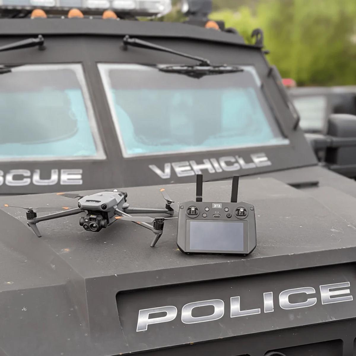
DJI Mavic 3 Thermal, 1 Year Basic
Call for PriceQuick View -

DJI Mavic 3 Enterprise
Call for Price


DJI Mavic 3 Enterprise
Call for PriceQuick View -
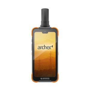
Juniper Systems Archer 4 Android AR4-103 GNSS Expansion Pod Rugged Handheld
Call for Price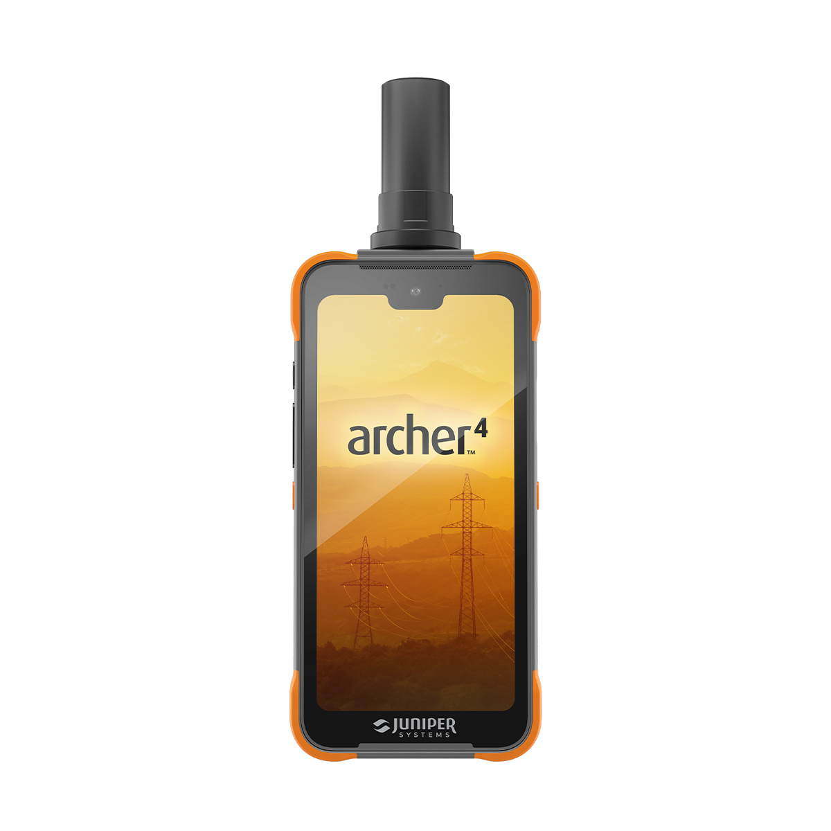
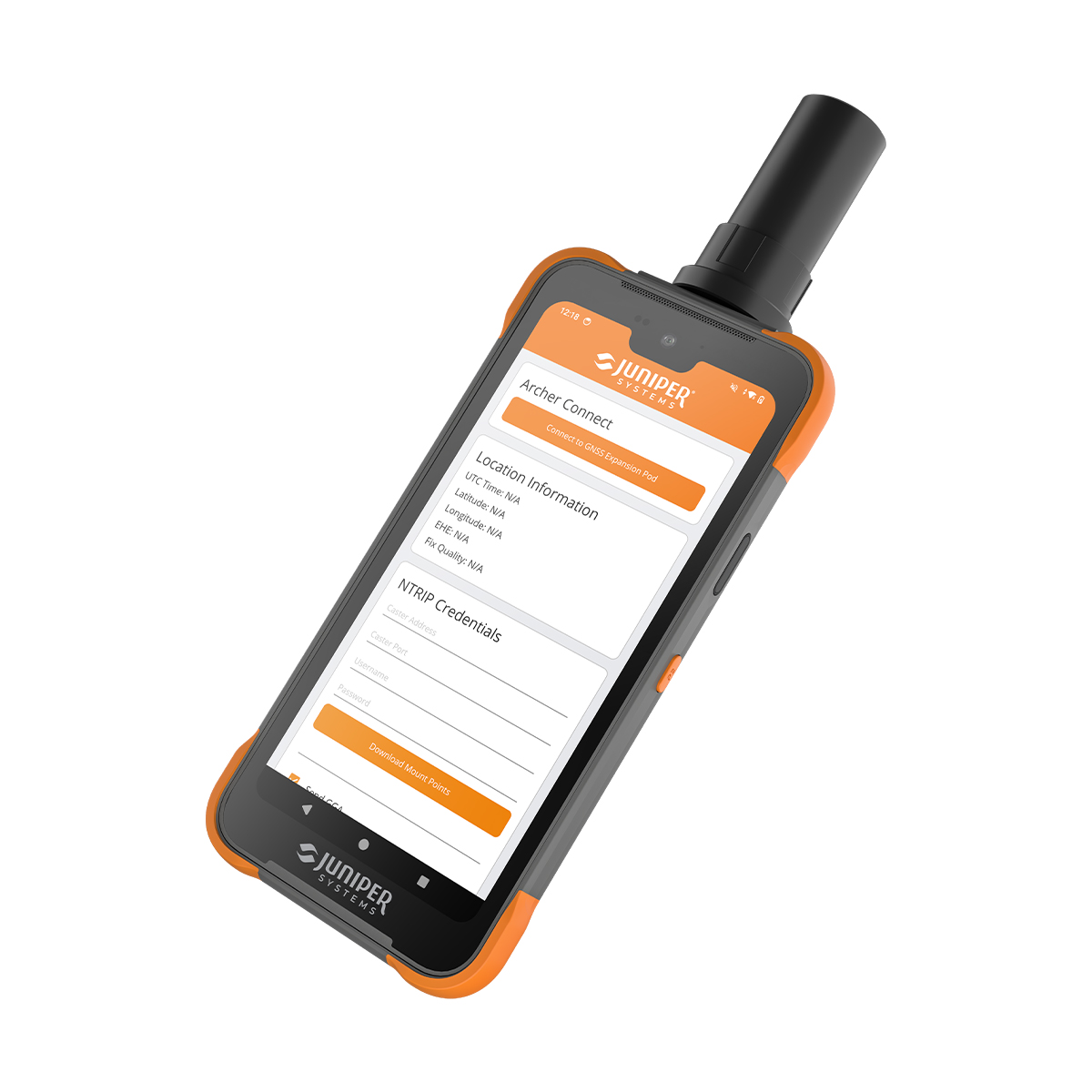
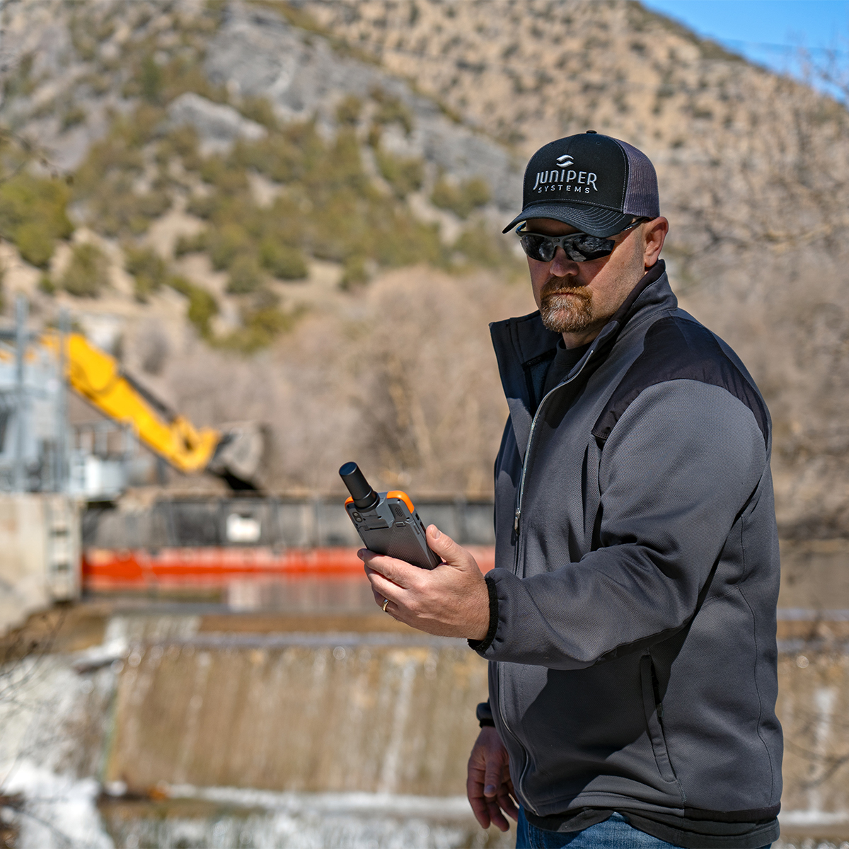
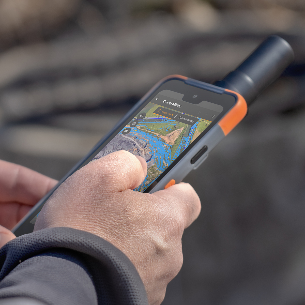
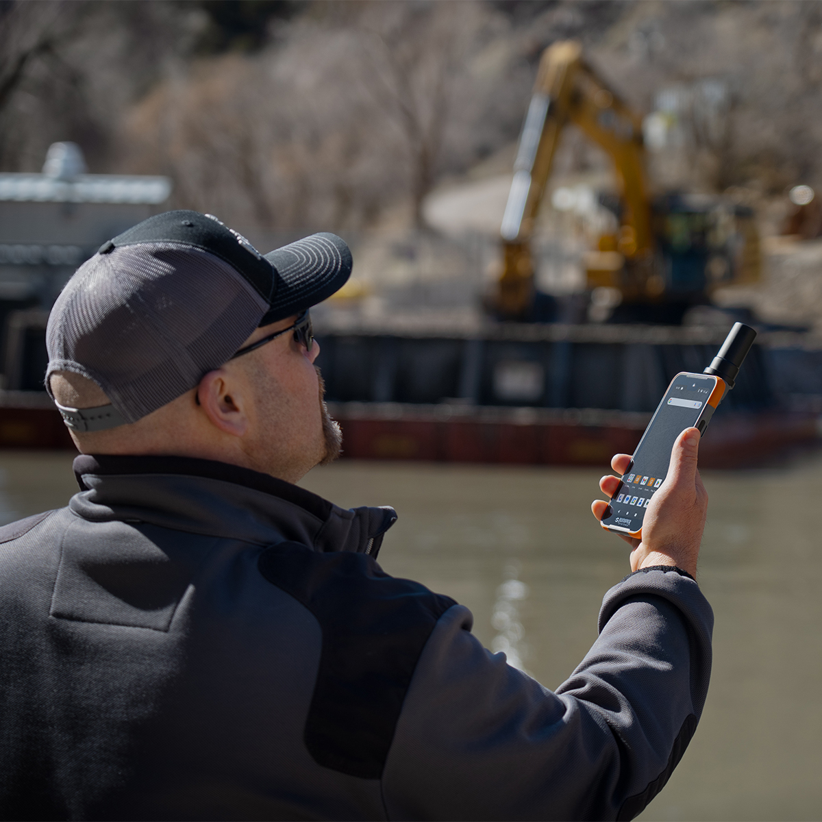

Juniper Systems Archer 4 Android AR4-103 GNSS Expansion Pod Rugged Handheld
Call for PriceDesigned to work. Built to last.
The Archer 4 Rugged Handheld is the latest release in the Archer family of products and is an exciting new platform for today’s mobile data collection. Its power-efficient Qualcomm processor, Android 14 operating system, and ultra-rugged ergonomic design combine to offer users a versatile option for frequent data entry.Quick View