Search results: “laser” – Page 3
Showing 49–56 of 56 results
-

Pipe Trekker A-200X Package
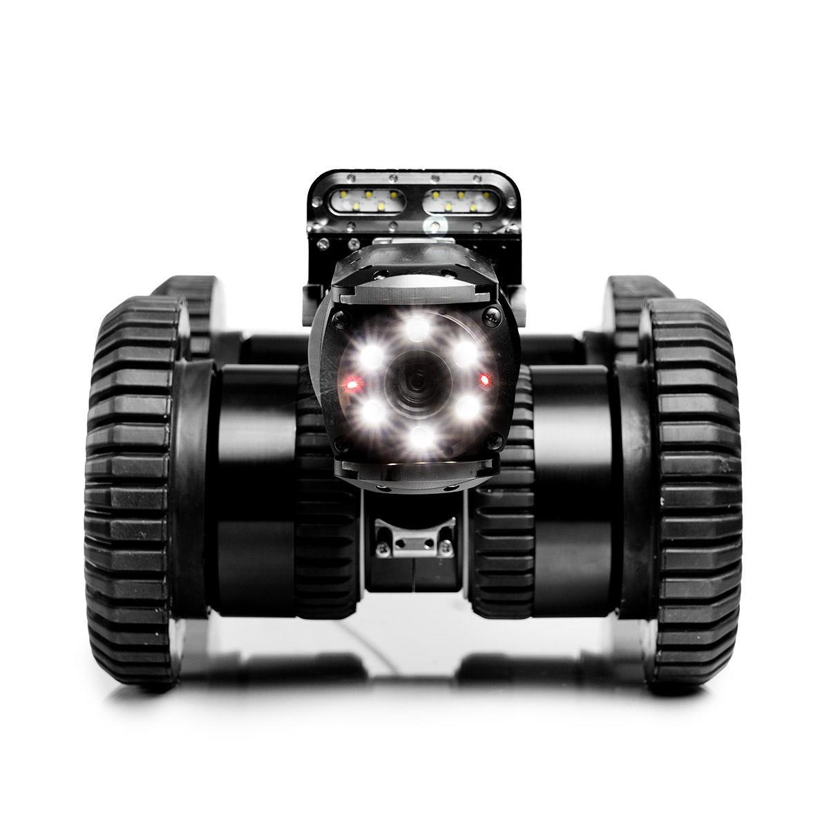


Pipe Trekker A-200X Package
Call to OrderFrontier Precision is currently adding items to the Shop, so please contact us at 800-359-3703 to order or for more information on this item.Quick View -

Chasing M2 Pro Max

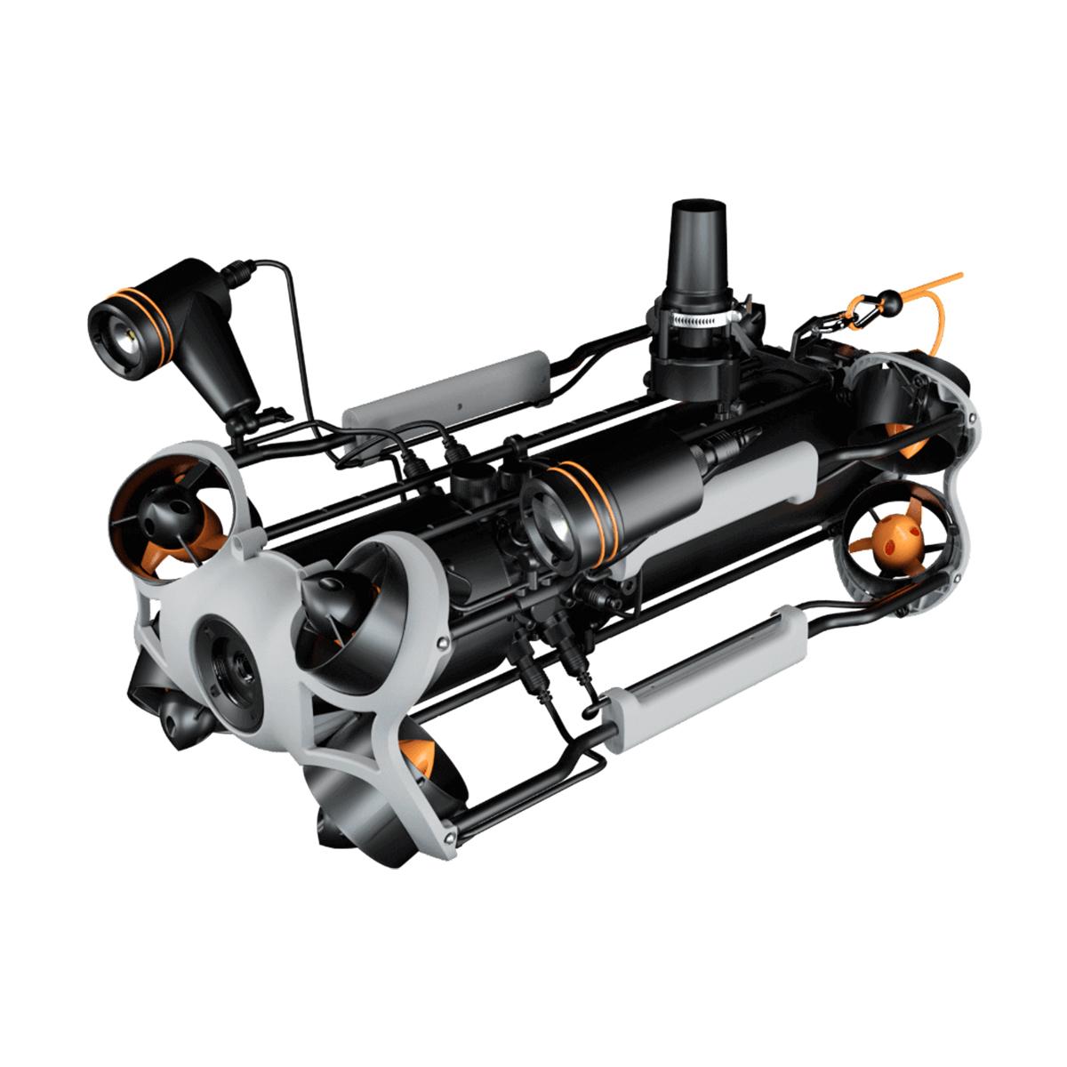


Chasing M2 Pro Max
Call to OrderFrontier Precision is currently adding items to the Shop, so please contact us at 800-359-3703 to order or for more information on this item.Quick View -
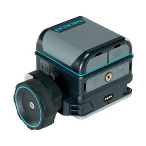
Used Screening Eagle GP8800 Proceq Concrete Scanner

Used Screening Eagle GP8800 Proceq Concrete Scanner
Call to OrderFrontier Precision is currently adding items to the Shop, so please contact us at 800-359-3703 to order or for more information on this item.Concrete inspections and structural imaging with SFCW ground penetrating radar technology now fits at the palm of your hand with the Screening Eagle GP8800 Proceq Concrete Scanner.
Quick View -

Used Trimble SX10 1” Scanning Total Station

Used Trimble SX10 1” Scanning Total Station
Call to OrderFrontier Precision is currently adding items to the Shop, so please contact us at 800-359-3703 to order or for more information on this item.The Trimble® SX10 scanning total station redefines the capabilities of everyday survey equipment by providing the world’s most innovative solution for surveying, engineering, and scanning professionals.
Quick View -
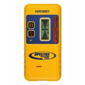
HR320 Receiver with Rod Clamp
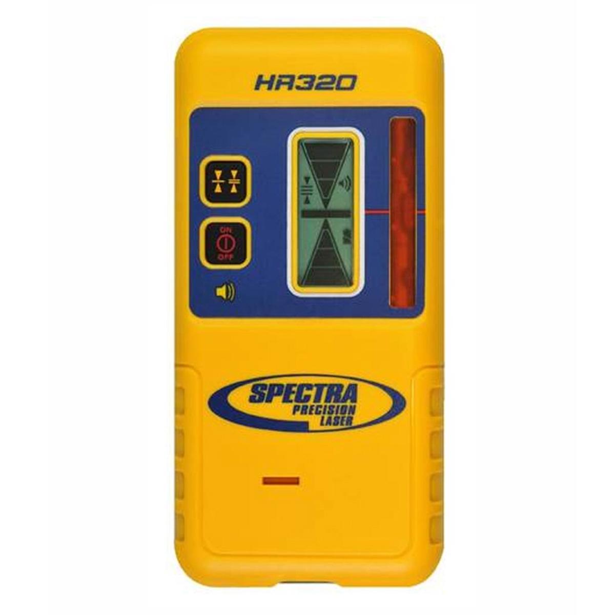
HR320 Receiver with Rod Clamp
Call to OrderFrontier Precision is currently adding items to the Shop, so please contact us at 800-359-3703 to order or for more information on this item.Quick View -
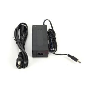
45W Universal AC Power Supply Kit
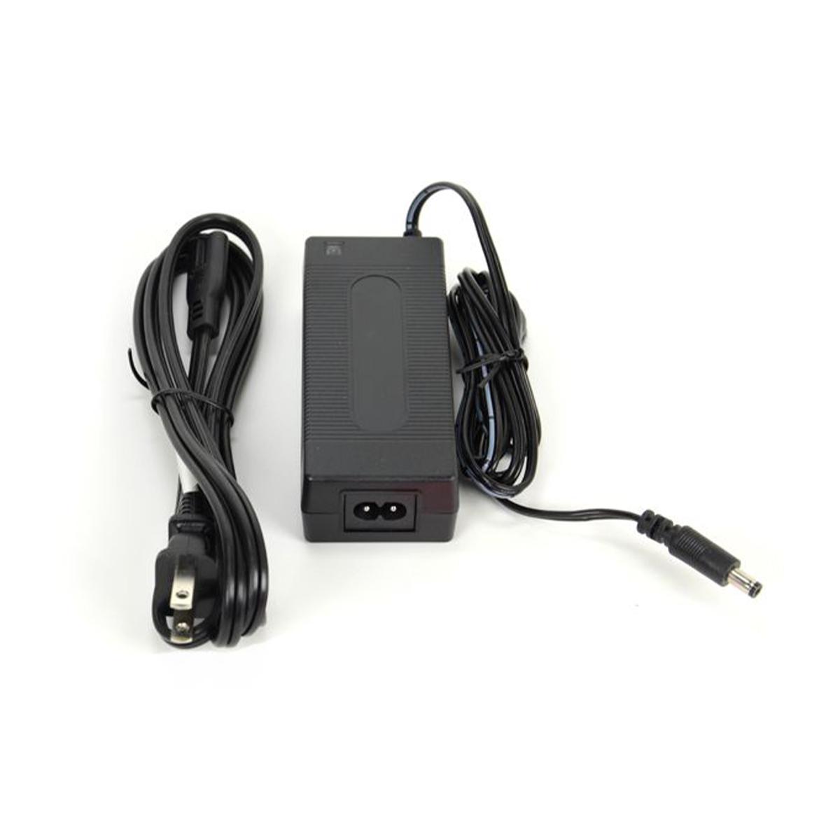
45W Universal AC Power Supply Kit
Call to OrderFrontier Precision is currently adding items to the Shop, so please contact us at 800-359-3703 to order or for more information on this item.Quick View -
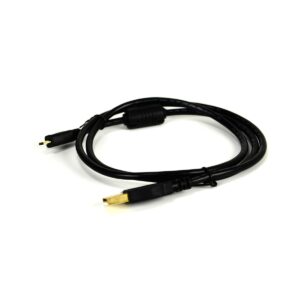
USB 2.0 Type A to USB Micro 3ft

USB 2.0 Type A to USB Micro 3ft
Call to OrderFrontier Precision is currently adding items to the Shop, so please contact us at 800-359-3703 to order or for more information on this item.Quick View -

Juniper Systems Mesa 2 Four-point Harness
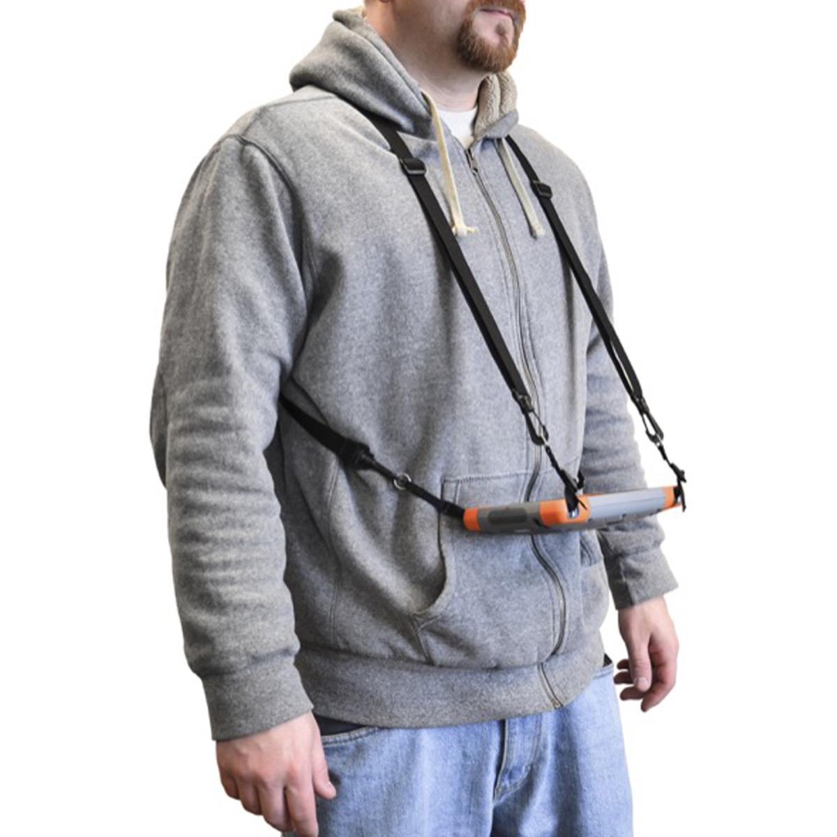
Juniper Systems Mesa 2 Four-point Harness
Call to OrderFrontier Precision is currently adding items to the Shop, so please contact us at 800-359-3703 to order or for more information on this item.Quick View