Search results: “survey” – Page 5
Showing 97–100 of 100 results
-
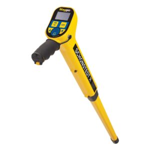
Schonstedt Maggie Magnetic Locator


Schonstedt Maggie Magnetic Locator
Call to OrderFrontier Precision is currently adding items to the Shop, so please contact us at 800-359-3703 to order or for more information on this item.The Schonstedt Maggie Magnetic Locator is the pistol-grip locator of choice for all locating professionals. Maggie combines the best features of two flagship Schonstedt magnetic locator instruments: the sensitivity and precision of the GA-52Cx, and the single-handed operation of the GA-92XT.
Quick View -

Nikon XF 3 sec. Total Station w/ OP
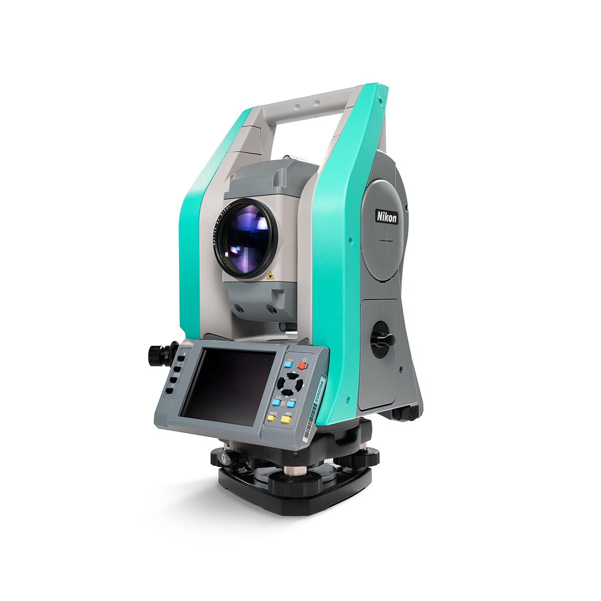


Nikon XF 3 sec. Total Station w/ OP
Call to OrderFrontier Precision is currently adding items to the Shop, so please contact us at 800-359-3703 to order or for more information on this item.Quick View -

DJI Agras T40


DJI Agras T40
Call to OrderFrontier Precision is currently adding items to the Shop, so please contact us at 800-359-3703 to order or for more information on this item.Quick View -

Revolution ROV NAV


Revolution ROV NAV
Call to OrderFrontier Precision is currently adding items to the Shop, so please contact us at 800-359-3703 to order or for more information on this item.Quick View