")
FEATURED UAS
Showing all 12 results
-

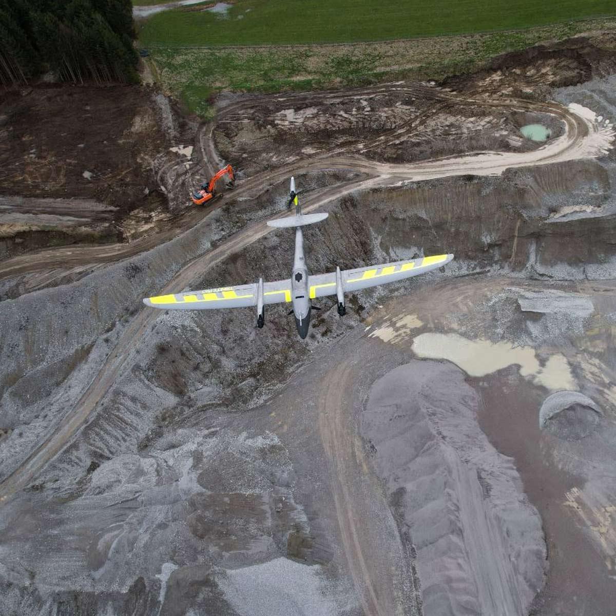
Censys Technologies Sentaero BVLOS
Call for Price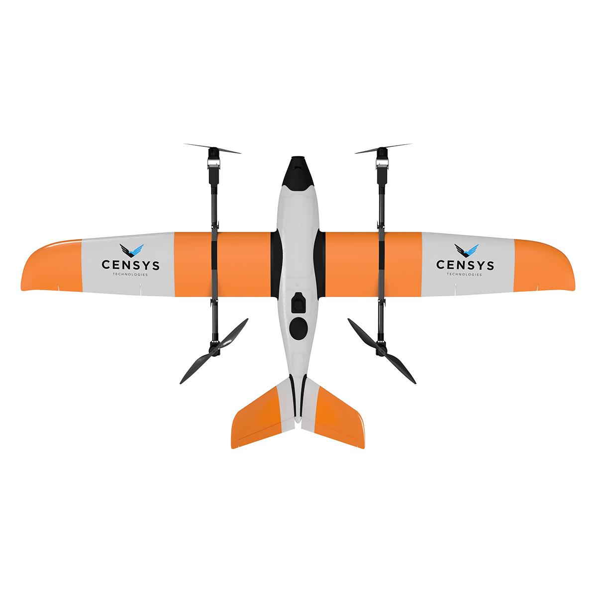
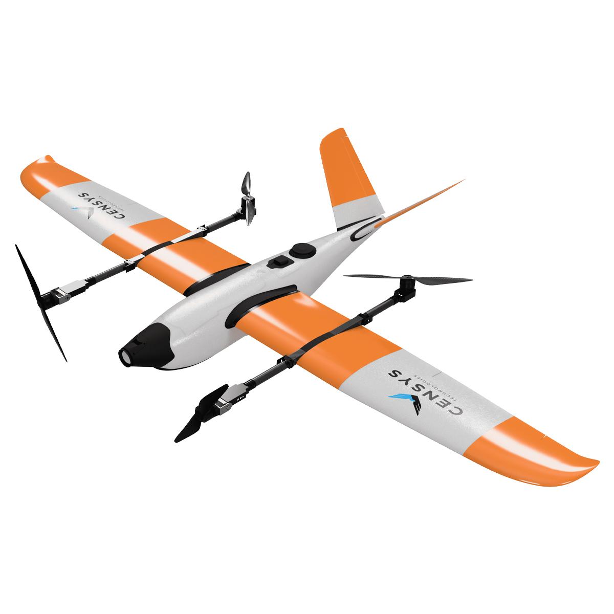
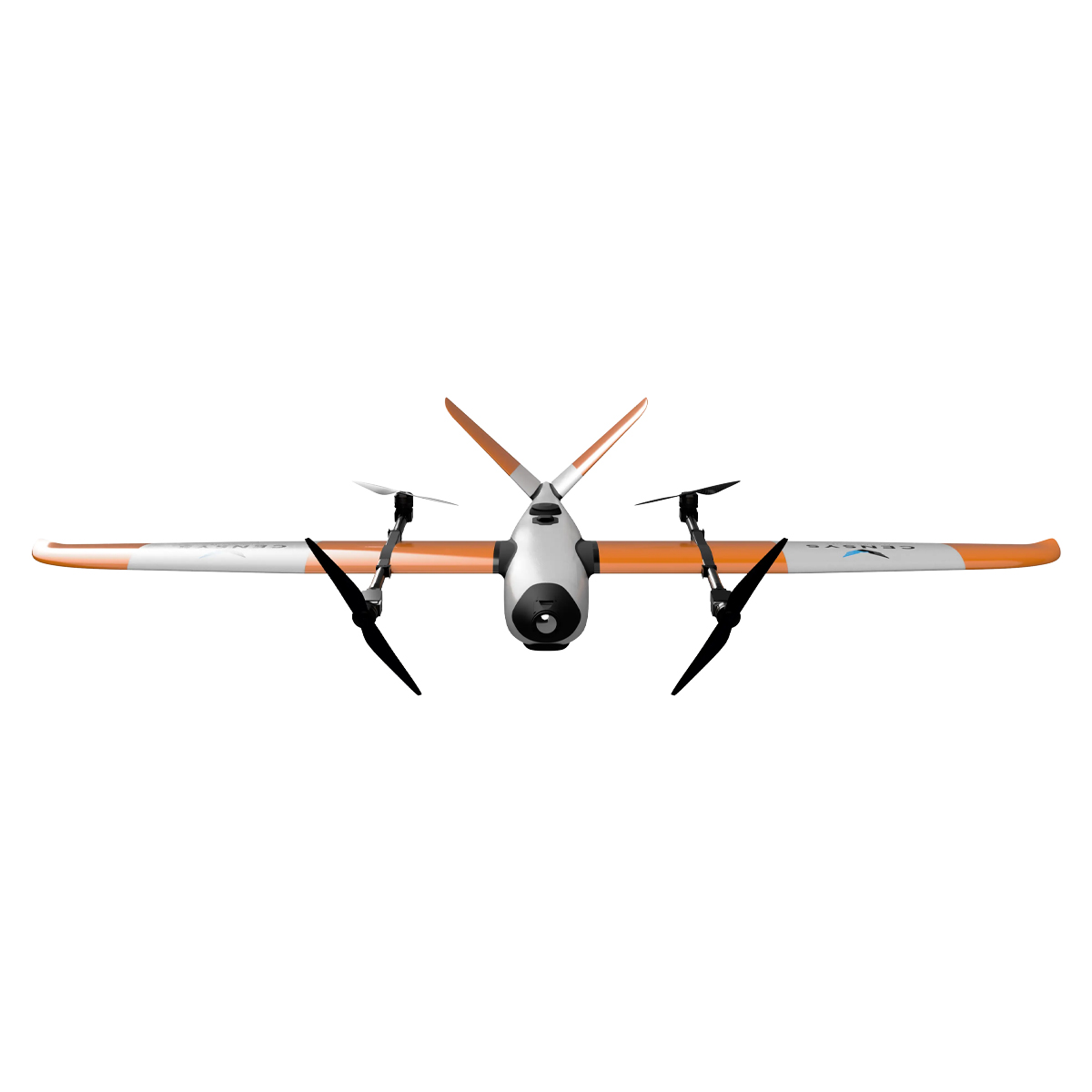
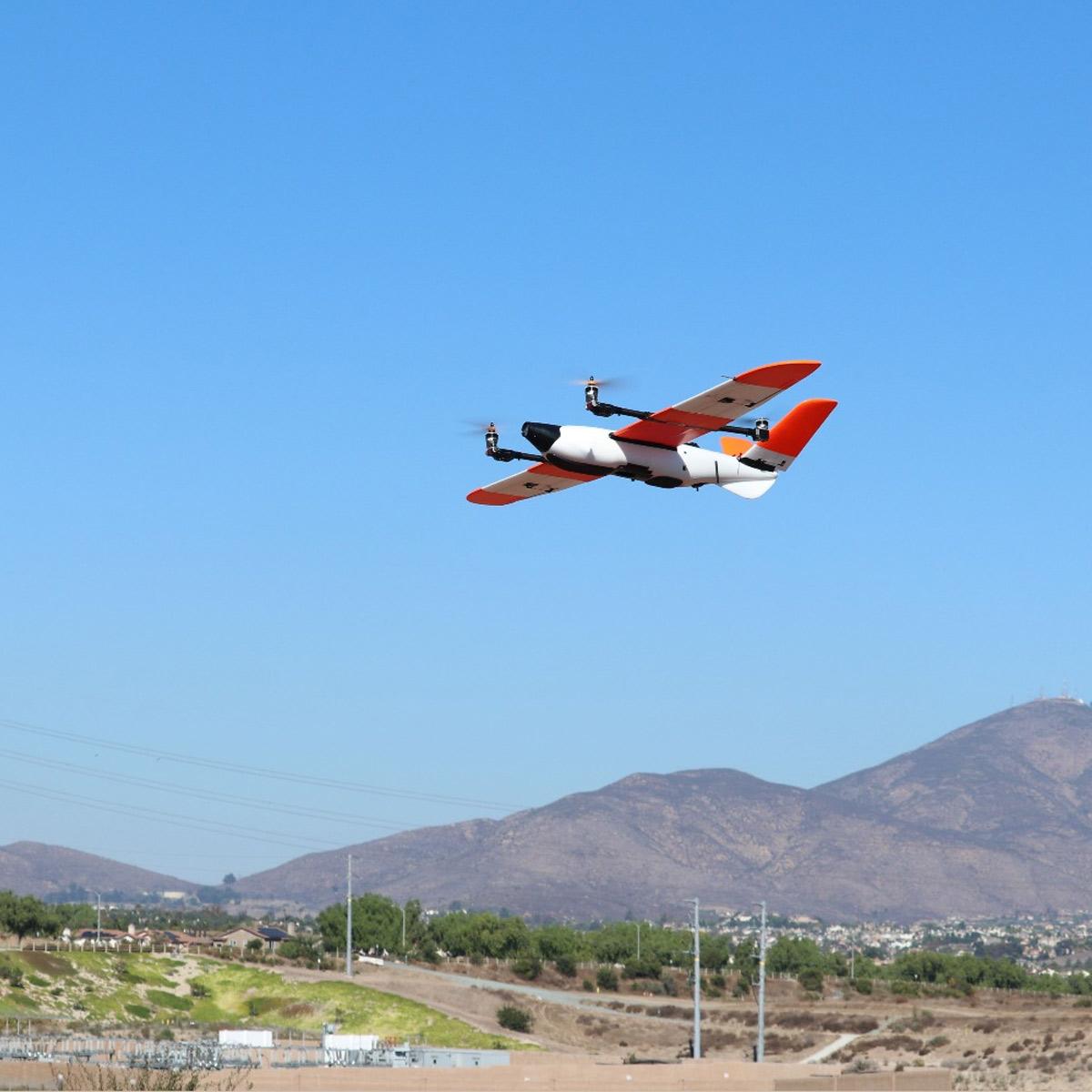
Censys Technologies Sentaero BVLOS
Call for PriceQuick View -

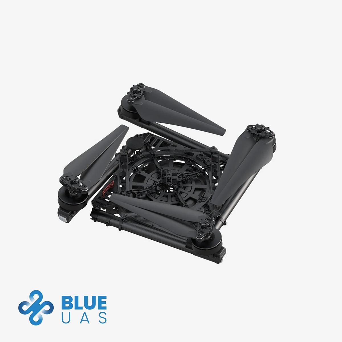
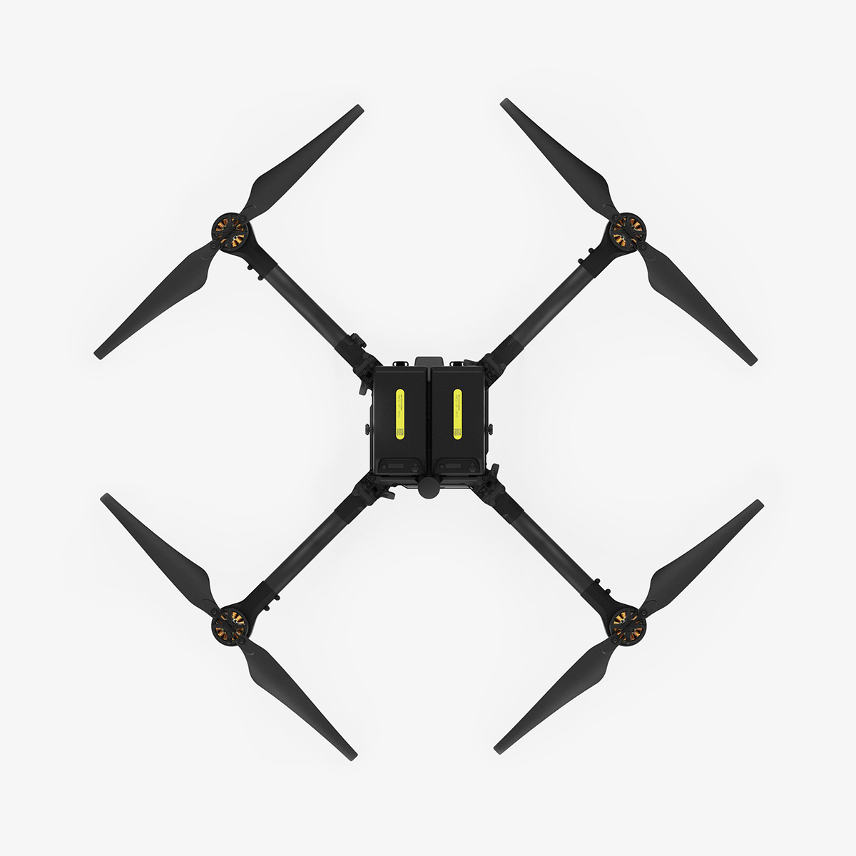
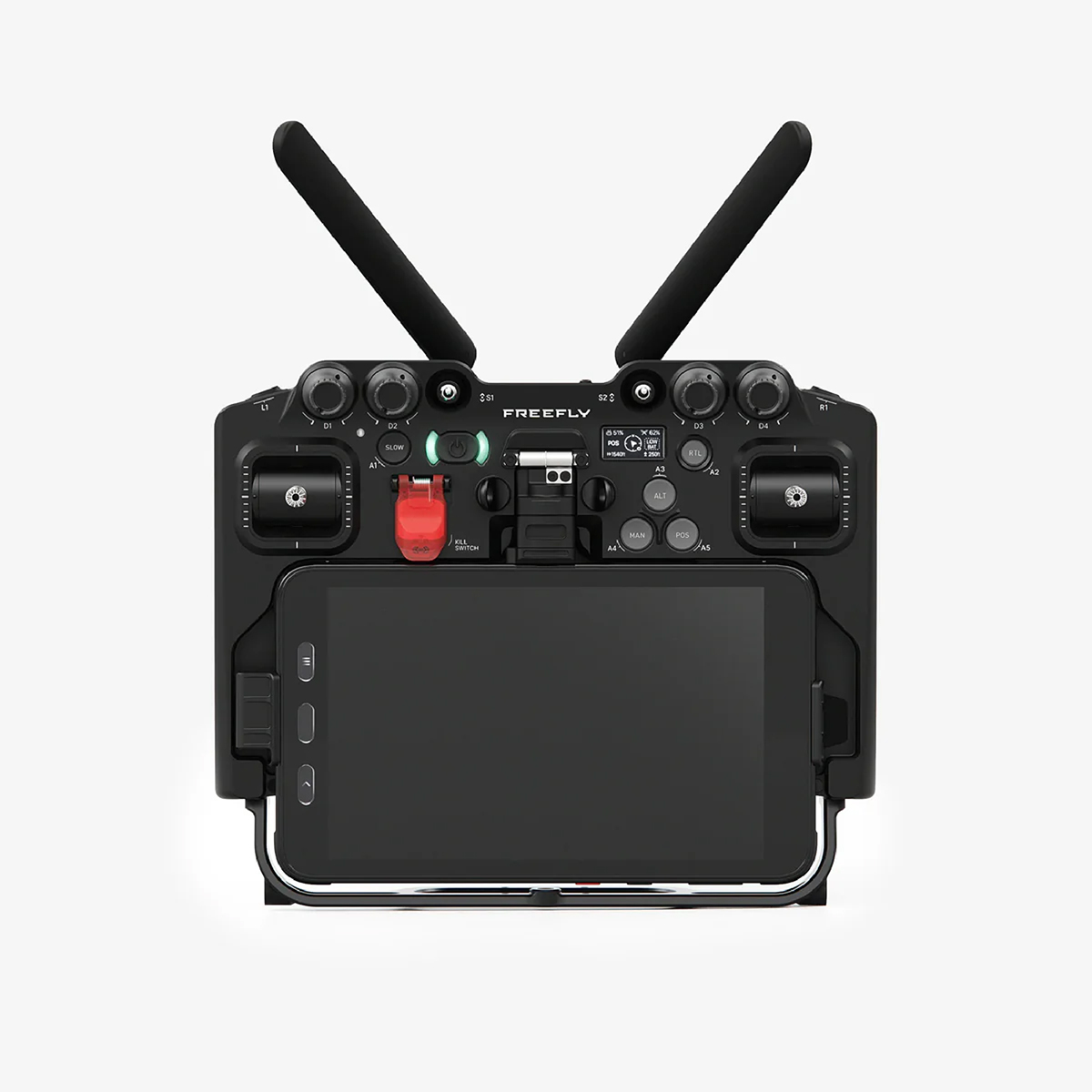
Freefly Alta X – Blue Kit
Call for Price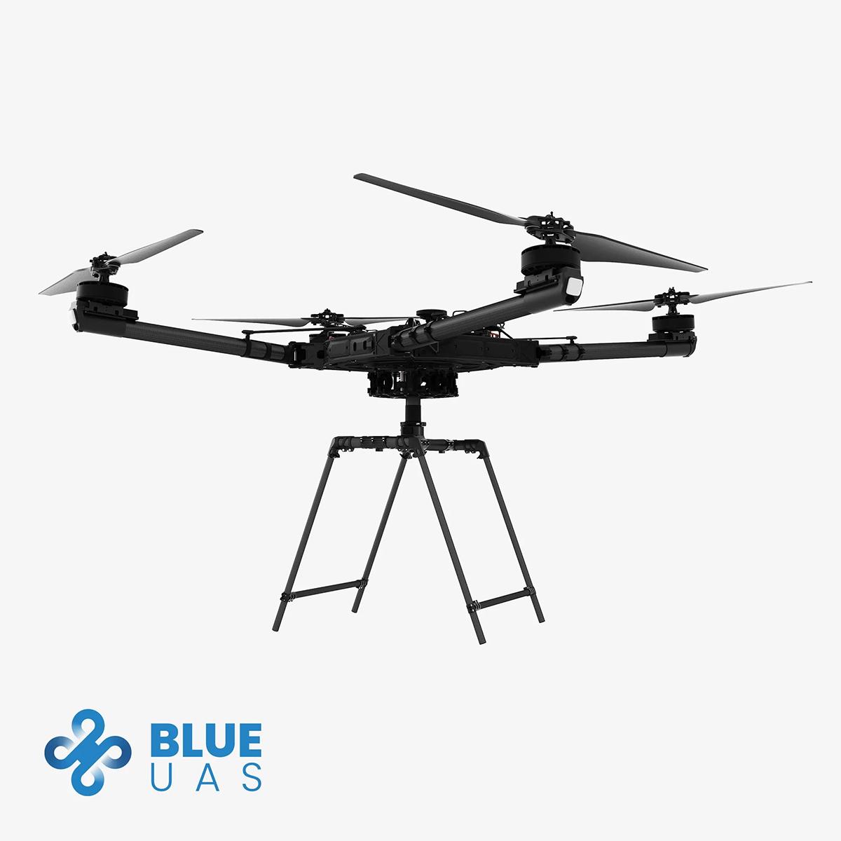

Freefly Alta X – Blue Kit
Call for PriceBLUE UAS CLEARED
Quick View -
Freefly Astro Max
Call for Price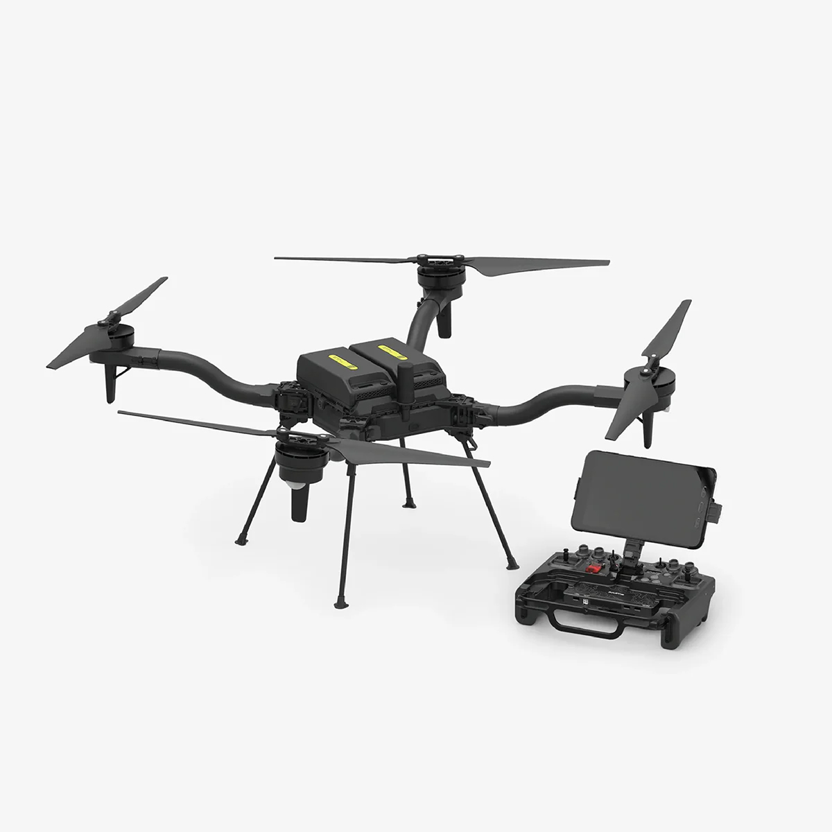


Freefly Astro Max
Call for PriceQuick View -
Freefly Astro Max (NDAA/Blue)
Call for Price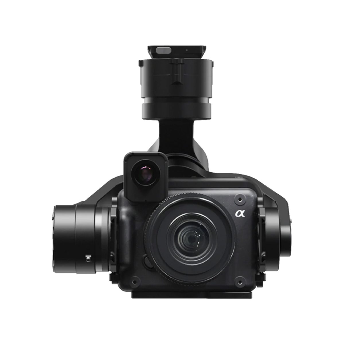
Freefly Astro Max (NDAA/Blue)
Call for PriceQuick View -

Inspired Flight IF1200A
Call for Price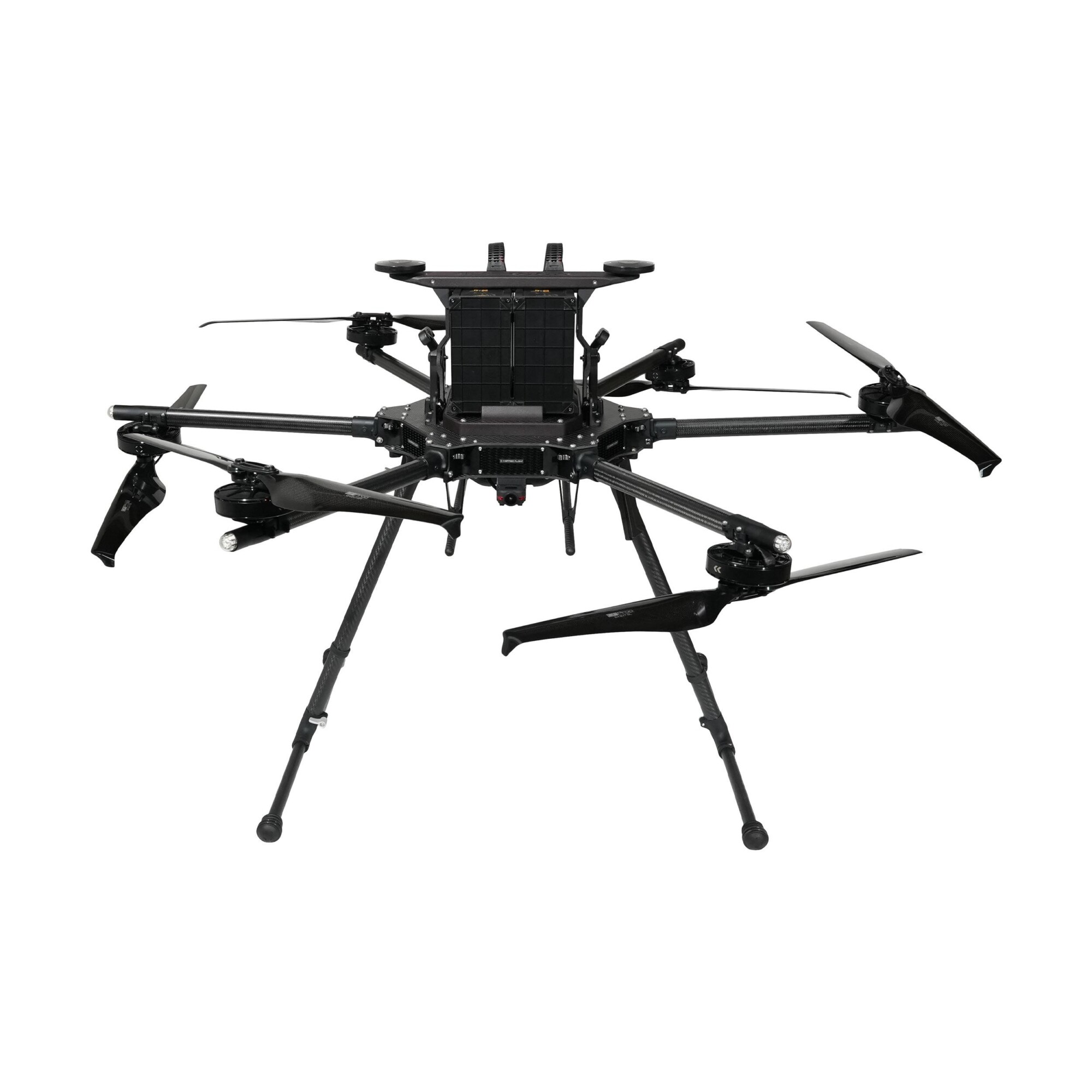

Inspired Flight IF1200A
Call for PriceQuick View -

Quantum-Systems Trinity Pro
Call for Price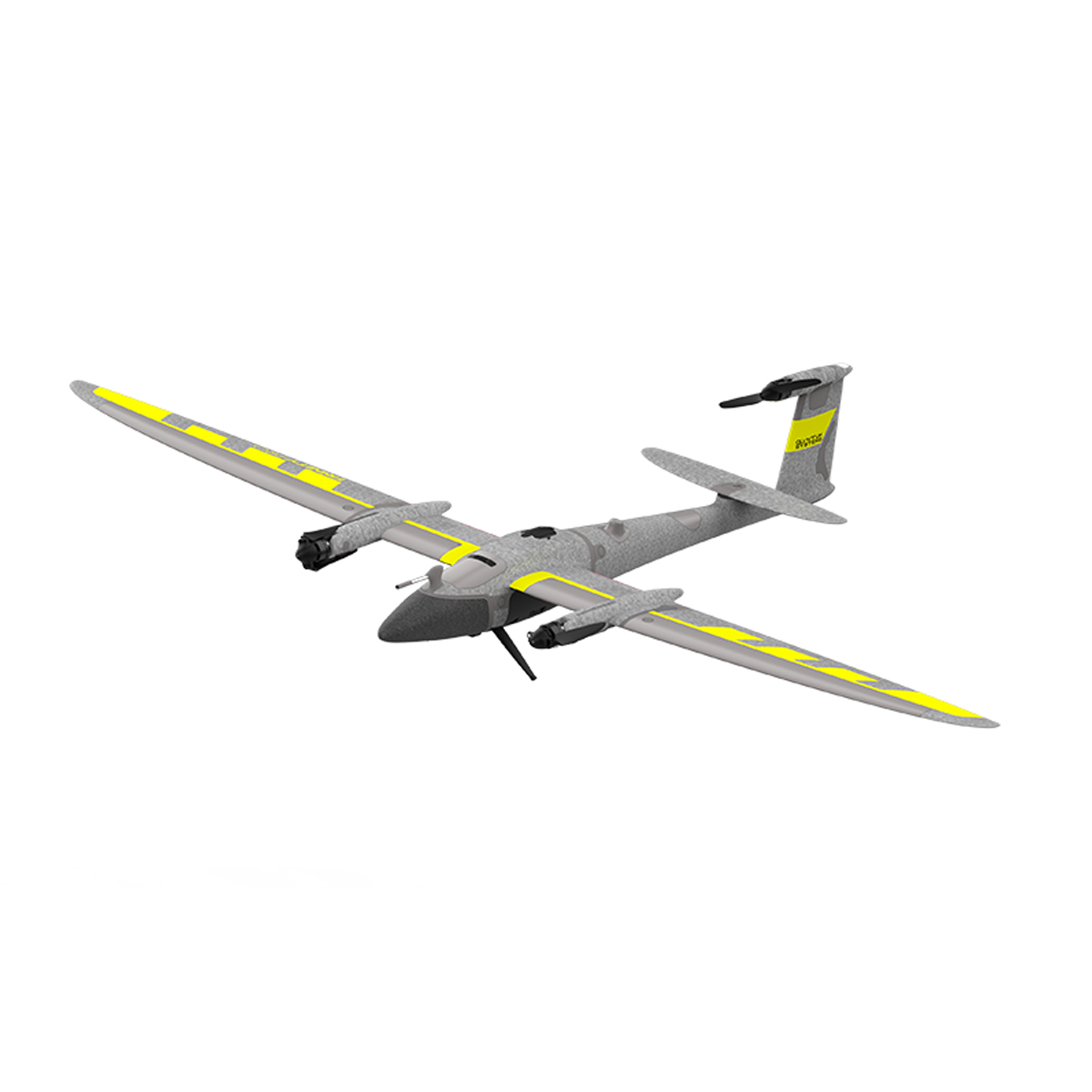

Quantum-Systems Trinity Pro
Call for PriceQuick View -
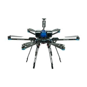
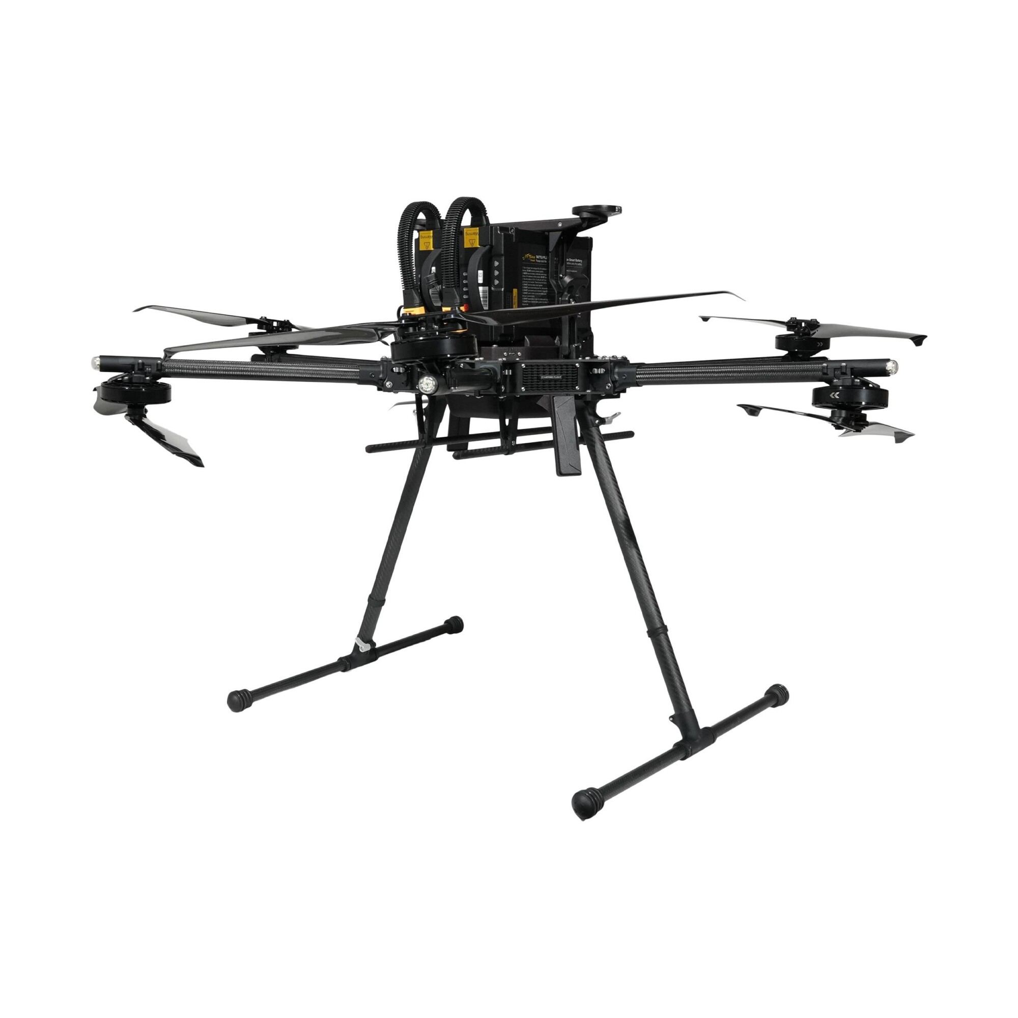
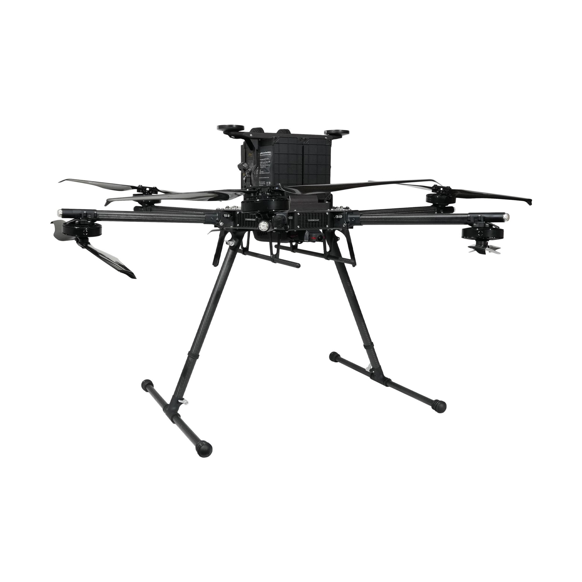
Vision Aerial Vector Hexacopter with Blue Herelink
Call for Price
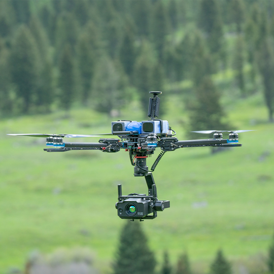

Vision Aerial Vector Hexacopter with Blue Herelink
Call for PriceQuick View -
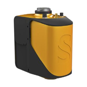
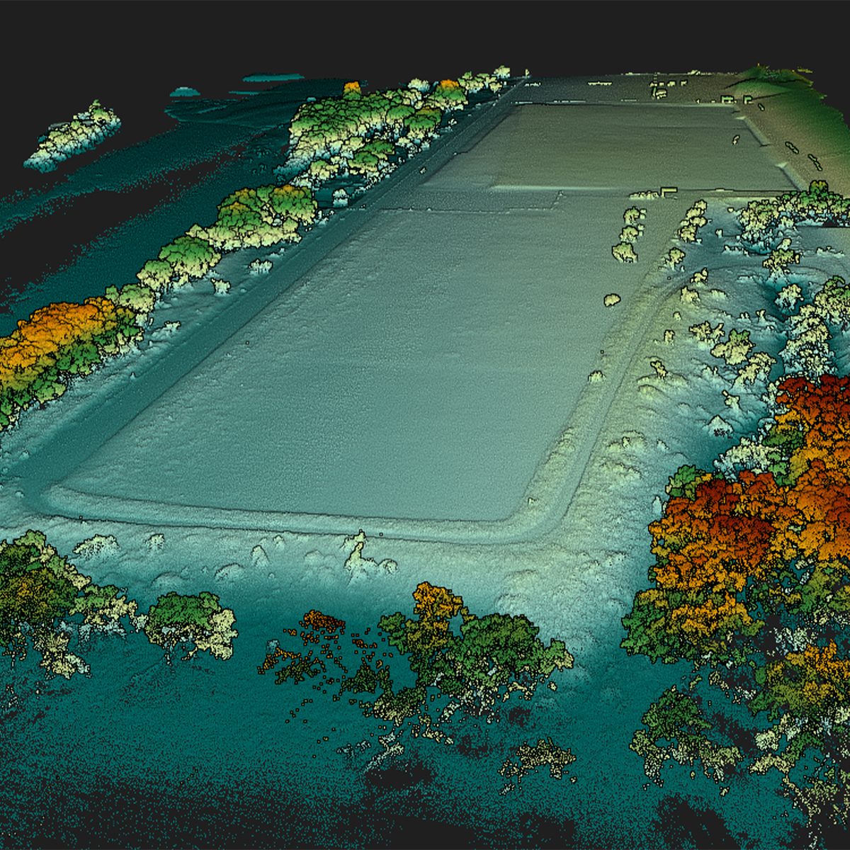
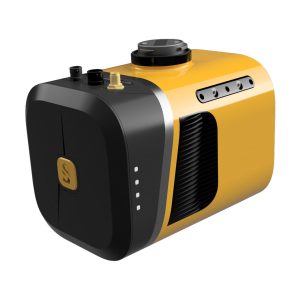
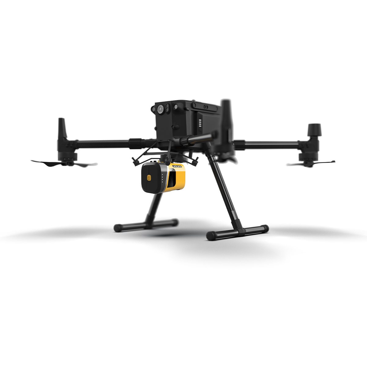
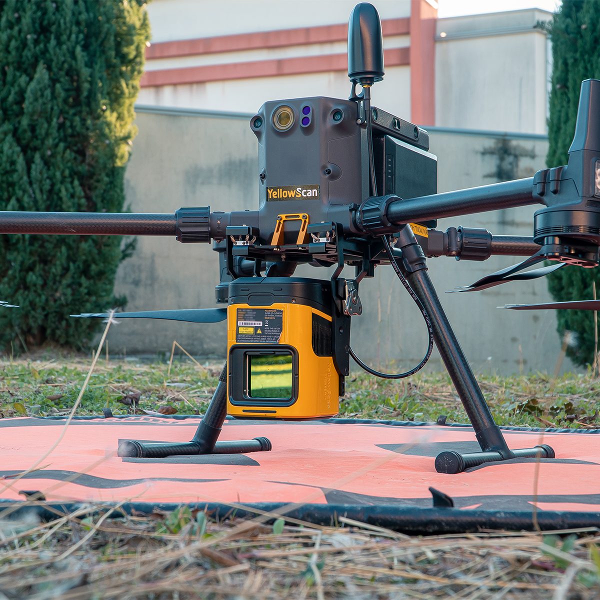
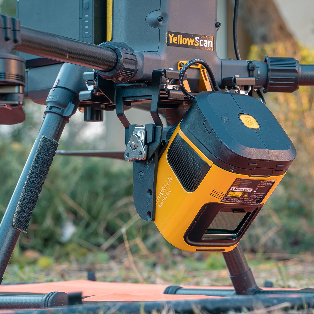
YellowScan Mapper (Version 3) YM3CAMKIT & Single Camera Module 20MP
Call for Price


YellowScan Mapper (Version 3) YM3CAMKIT & Single Camera Module 20MP
Call for PriceYellowScan Mapper
Jump into LiDAR revolution.Easy mapping redefined. Start your LiDAR journey with our easy-to-use Mapper system. Its low weight, mid-range capability, top-end point density, as well as advanced accuracy and precision, make this LiDAR system the best value for money. Then add the Sony APS-C size Exmor™ CMOS image sensor with a BIONZ X™ processor to produce high-precision 20 MP images.
Quick View -
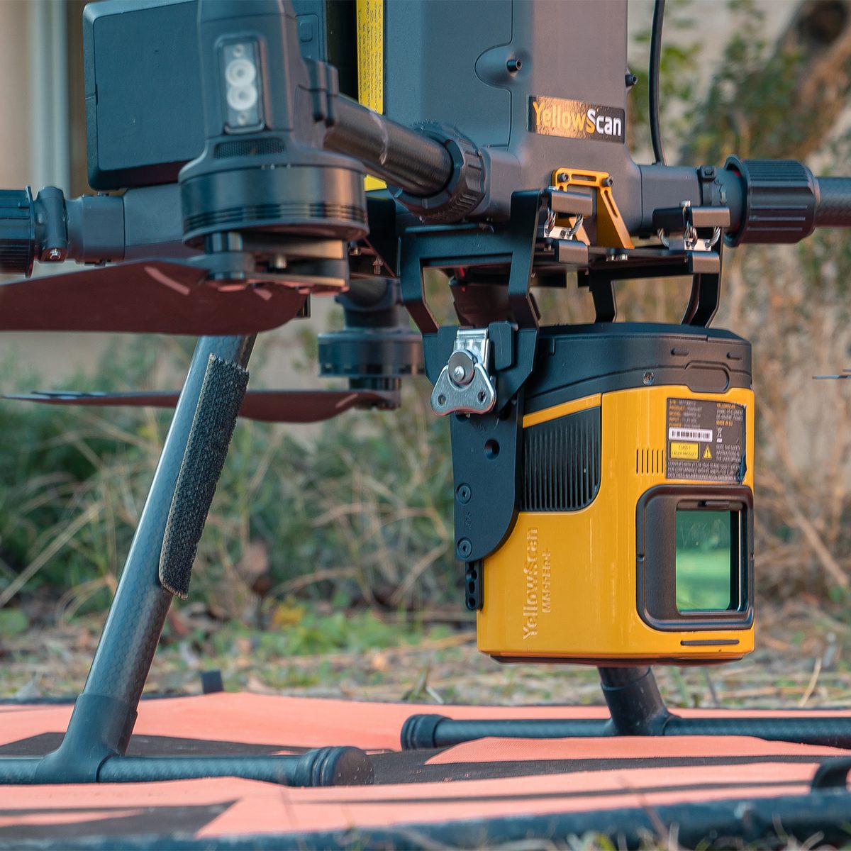
YellowScan Mapper (Version 3) YSM3KIT15 Integrated System
Call for Price YellowScan Mapper (Version 3) YSM3KIT15 Integrated System
Call for PriceYellowScan Mapper
Jump into LiDAR revolution.Easy mapping redefined. Start your LiDAR journey with our easy-to-use Mapper system. Its low weight, mid-range capability, top-end point density, as well as advanced accuracy and precision, make this LiDAR system the best value for money.
Quick View -
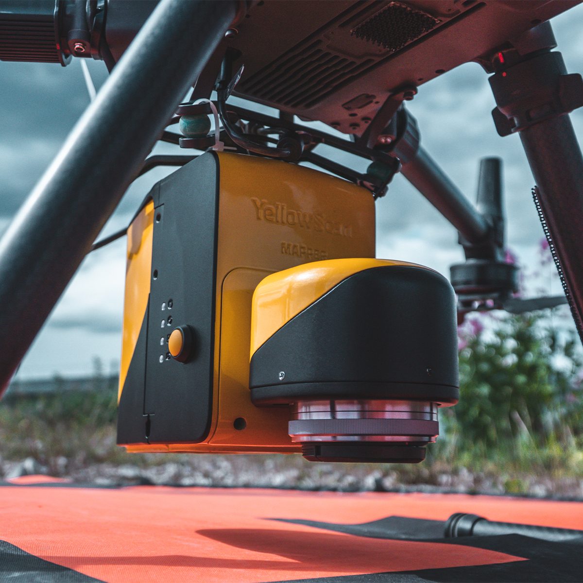
YellowScan Mapper+ (Version 3) YSM3+KIT Integrated System
Call for Price
YellowScan Mapper+ (Version 3) YSM3+KIT Integrated System
Call for PriceYellowScan Mapper+
Small & compact. Mighty & powerful.Advanced performance fitted into a compact survey solution. The YellowScan Mapper+ is an efficient 3 echoes, high-density LiDAR system for all mapping applications.
Quick View -
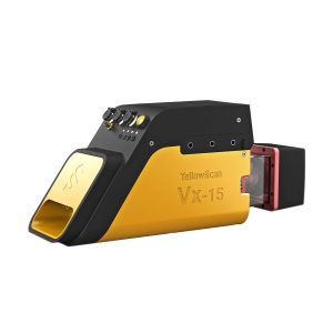
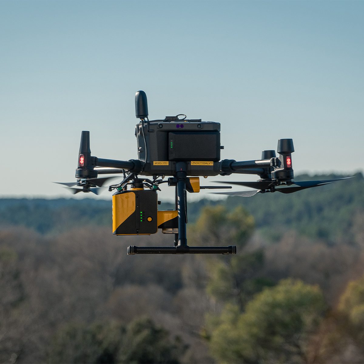
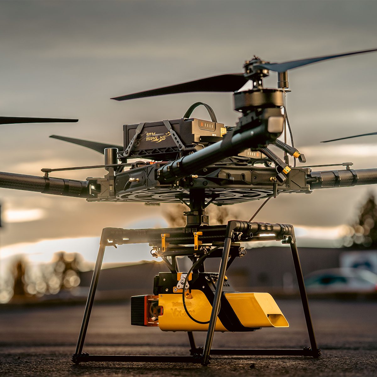
YellowScan Vx15-300 YSVXKIT13 Integrated System
Call for Price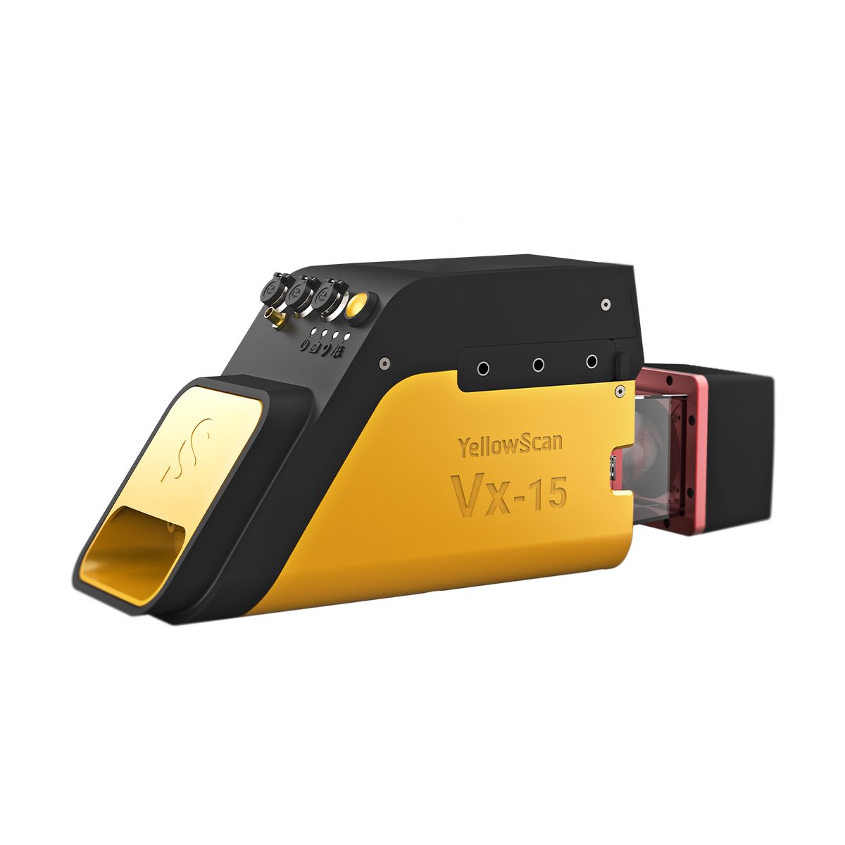
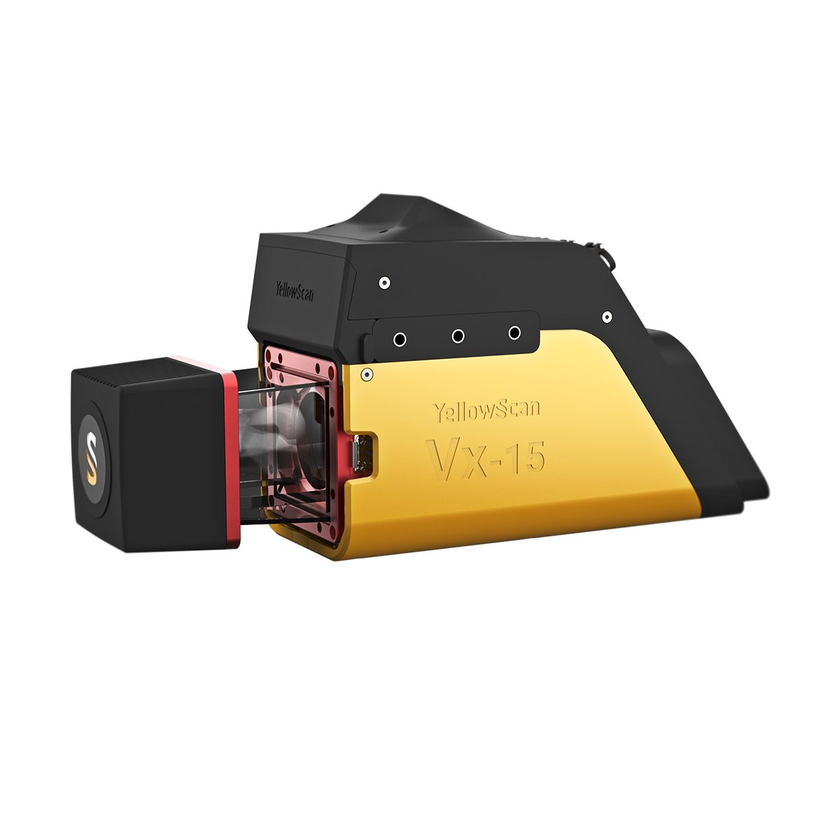
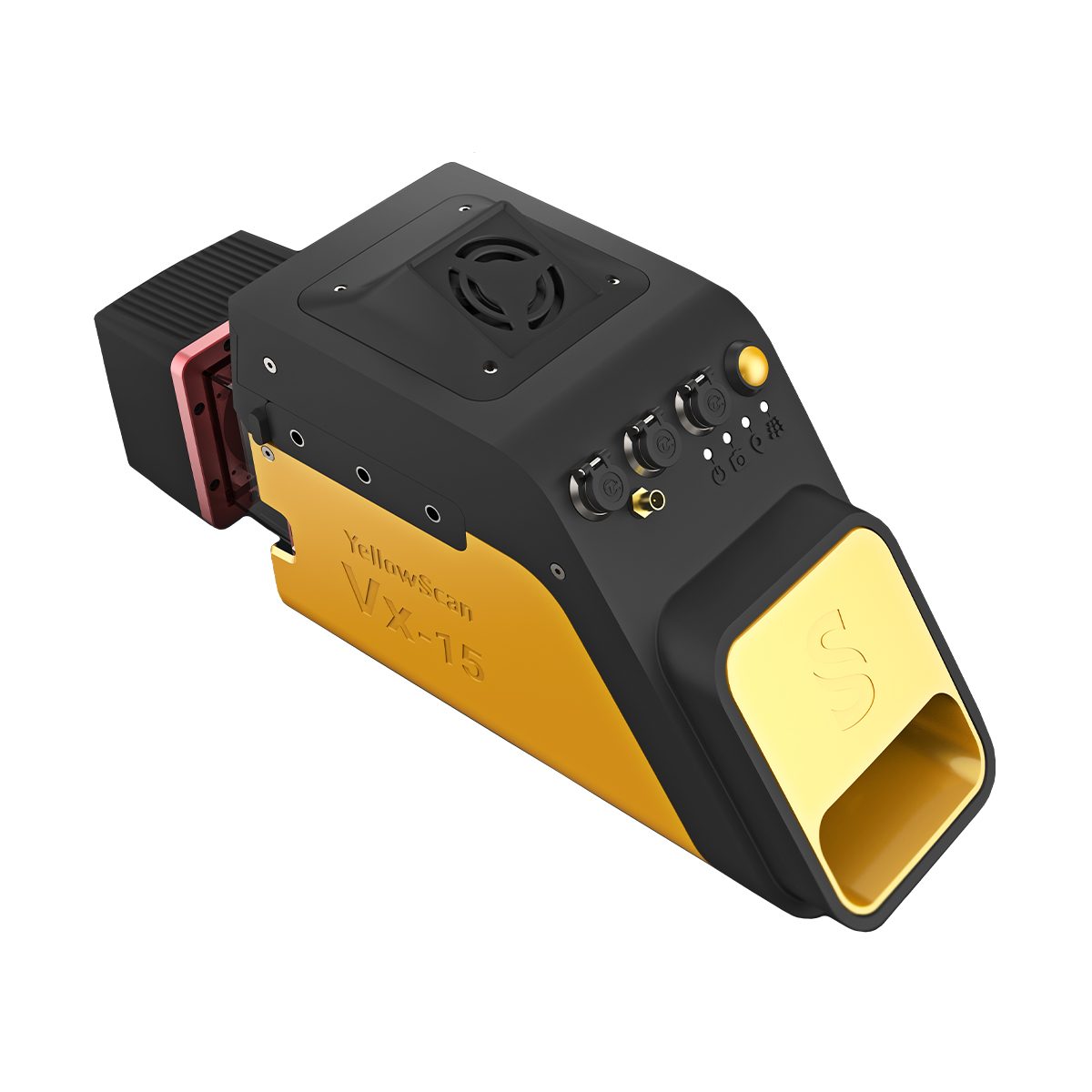
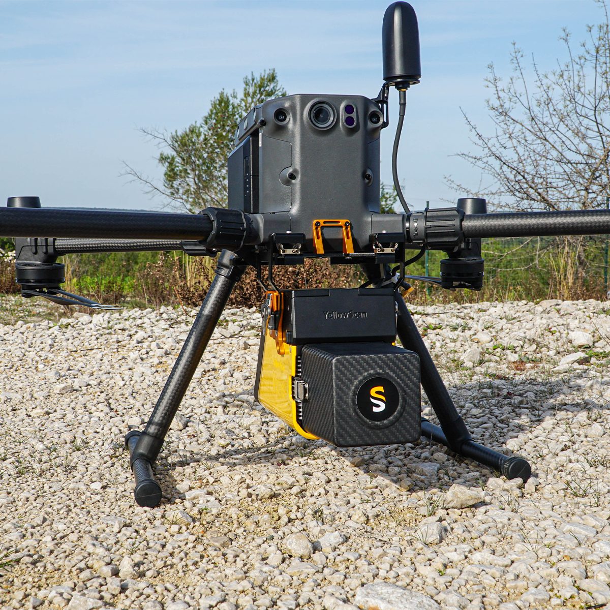
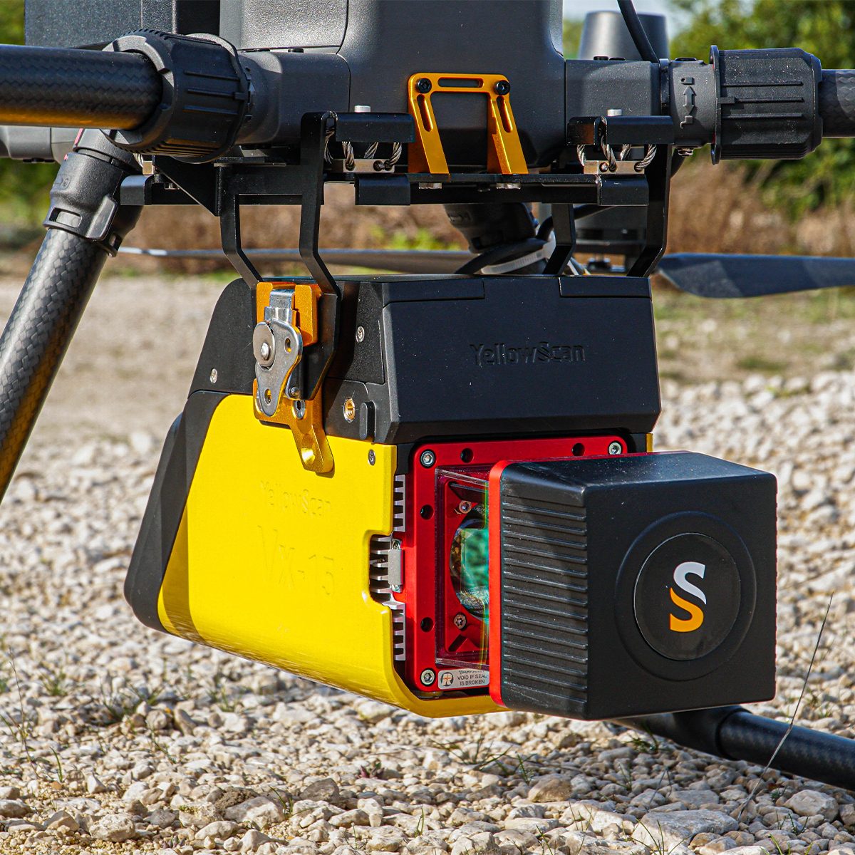
YellowScan Vx15-300 YSVXKIT13 Integrated System
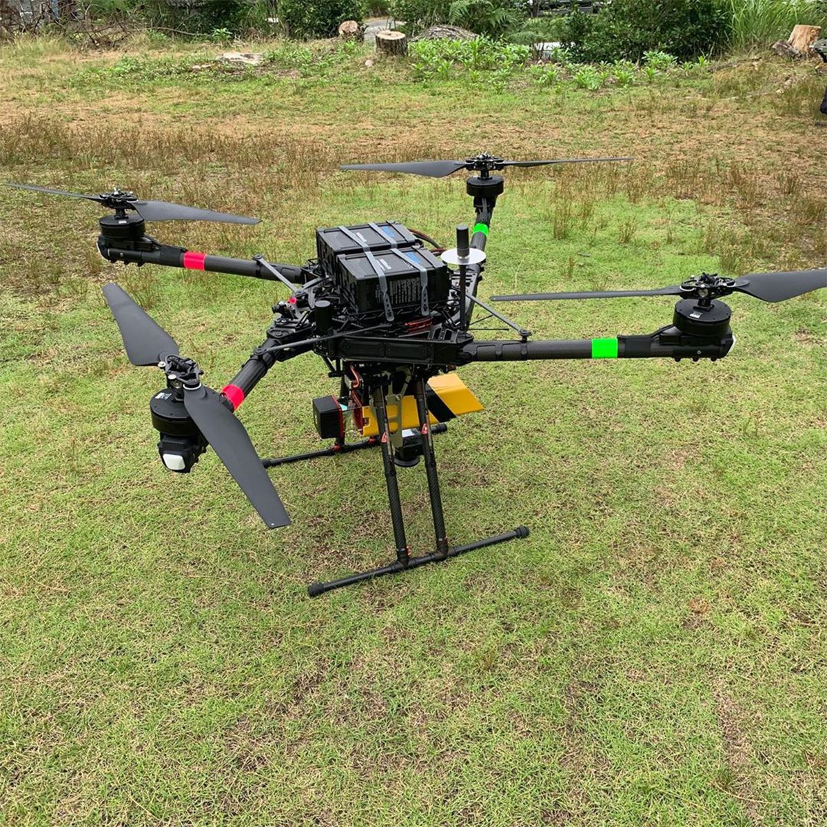
Call for PriceYellowScan Vx15 Series
The long range & high precision UAV LiDAR solution.YellowScan Vx15 is the lightest system integrating the Riegl Mini-VUX. Ideally suited for high precision surveys such as civil engineering. Coupled with the DJI M300 it allows over 25 min flight time maximizing your survey production.
Quick View -

YellowScan Vx20-300 YSVXKIT23 Integrated System
Call for Price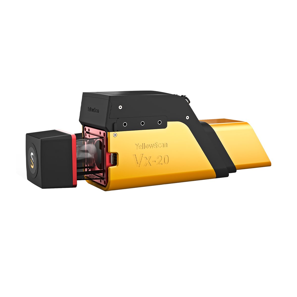
YellowScan Vx20-300 YSVXKIT23 Integrated System
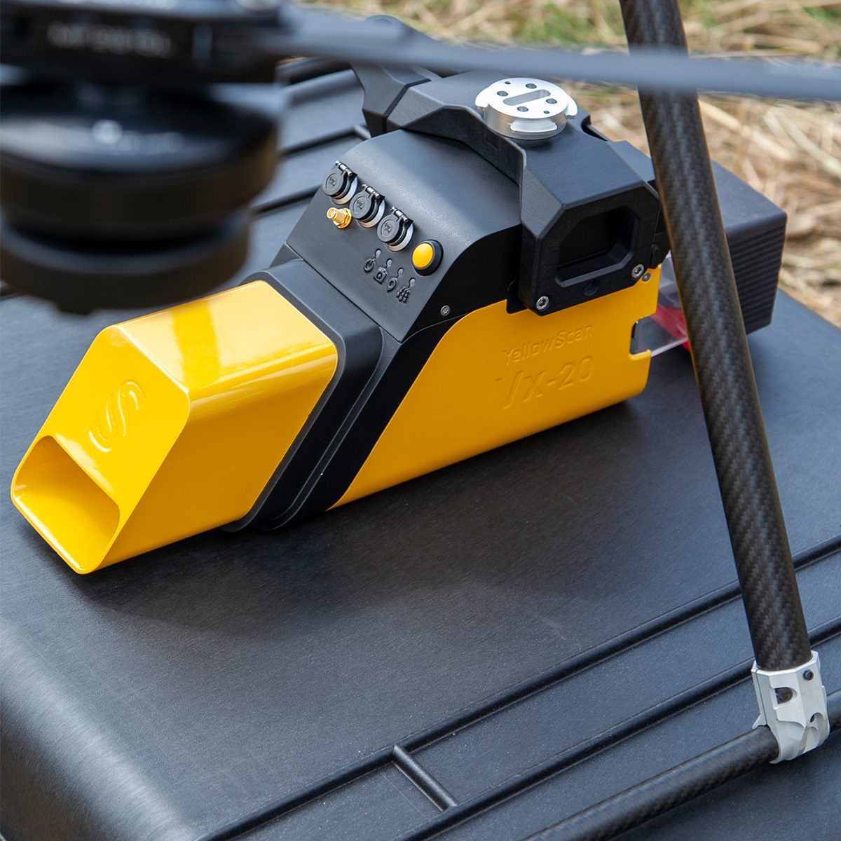
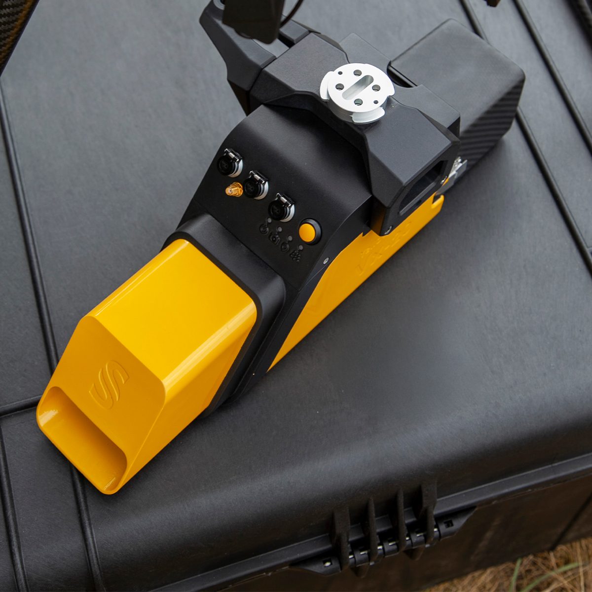
Call for PriceYellowScan Vx20 Series
The most accurate and high precison UAV LiDAR solution.YellowScan Vx20 is the most accurate fully integrated system from YellowScan’s product range. It can fly up to 100m while maintening accuracy throughout the point cloud. Ideally suited for applications that requires sharp and accurate descriptions.
Quick View