Remote Identification
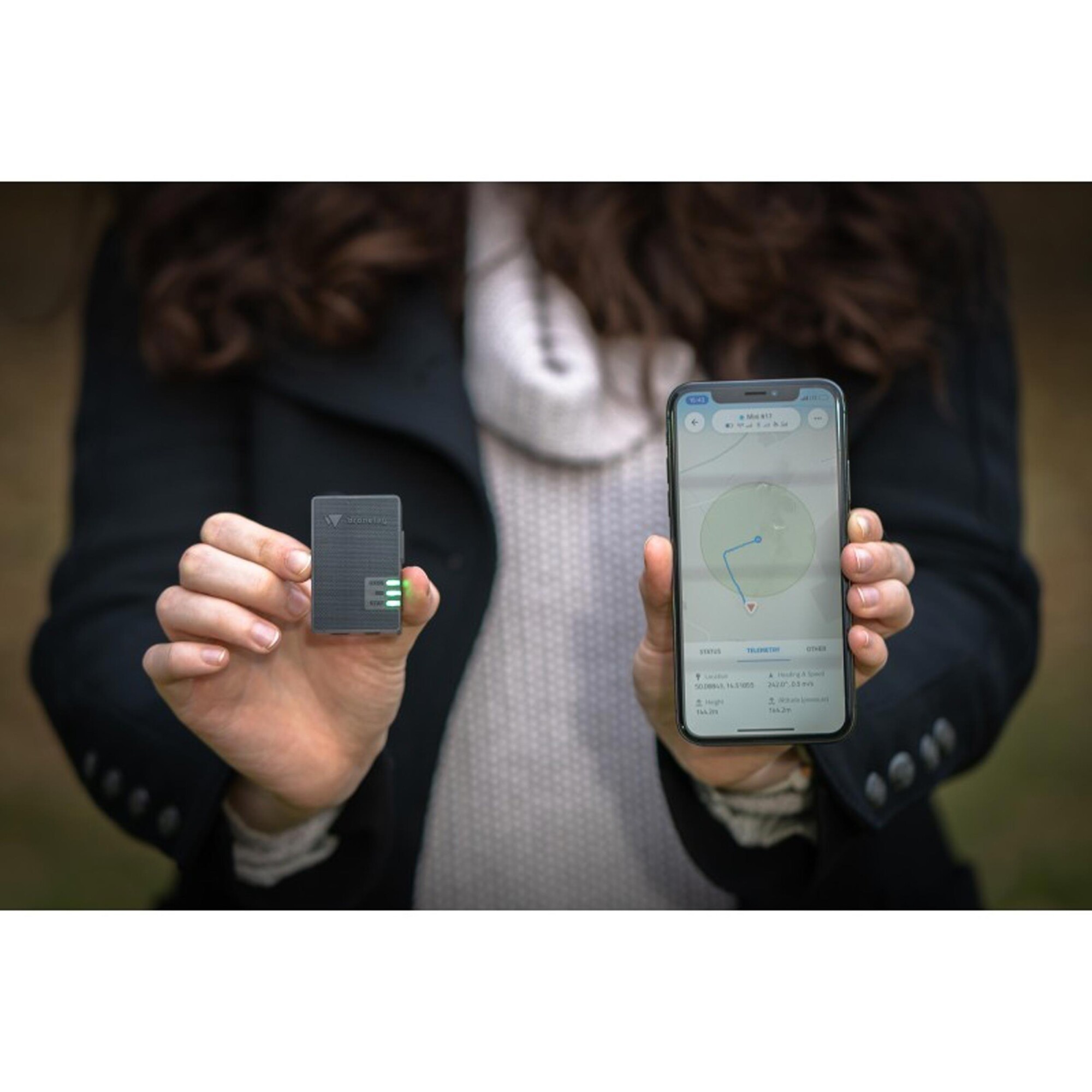
• Network Remote Identification: Dronetag Mini transfers your drone's position and identification to our cloud. By displaying the real-time data in our app, Dronetag enables advanced drone operations and coordination of manned and unmanned traffic in the same airspace.
• Direct (Broadcast) Remote Identification: Your drone's information is transmitted via Bluetooth up to .9 miles. With our Direct Remote ID, you fulfill all the new regulation necessities, and you are free to fly and touch the sky!
Smallest & Lightest
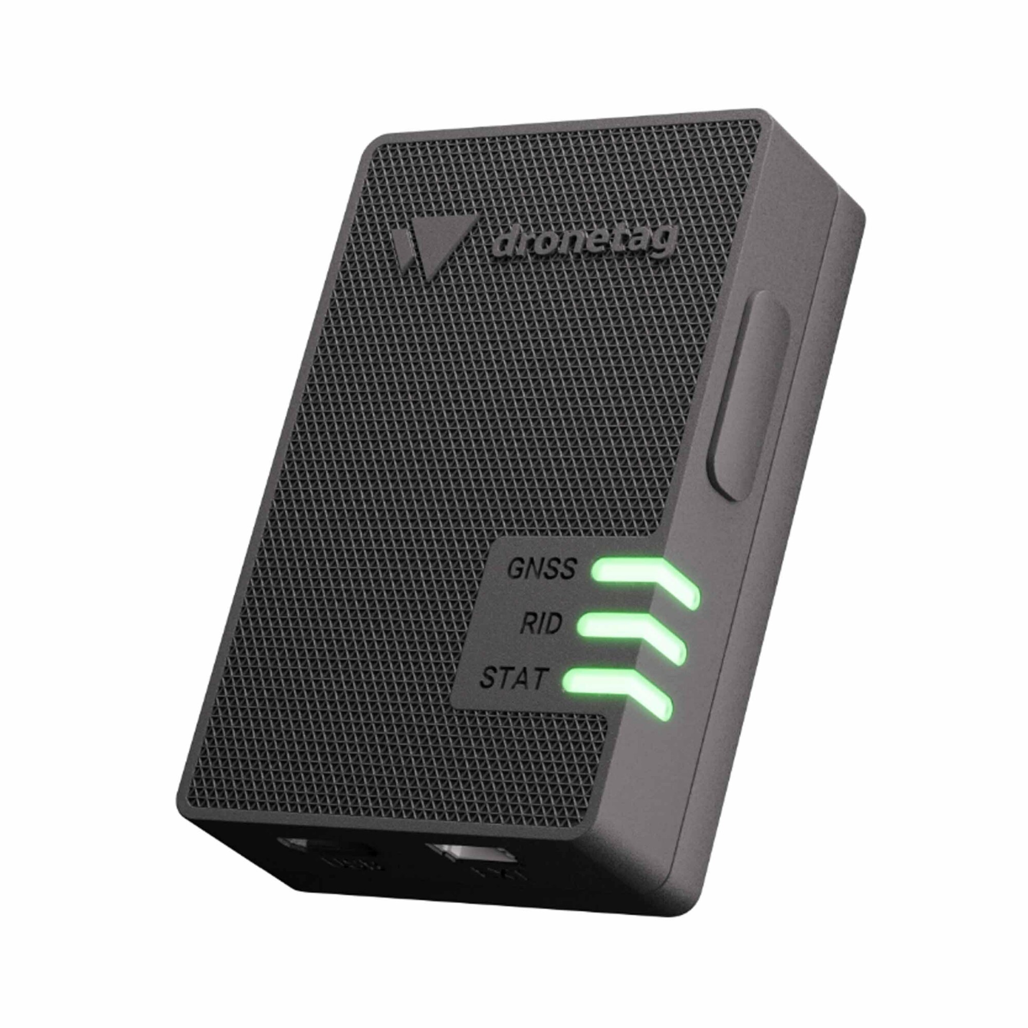
• Dronetag Mini is the smallest and lightest Remote ID device on the market. With the half size of a muesli bar, the weight of 1.1oz, it offers everything you need to fly safe and compliant.
Independent, Locked, & With the Longest Battery Life
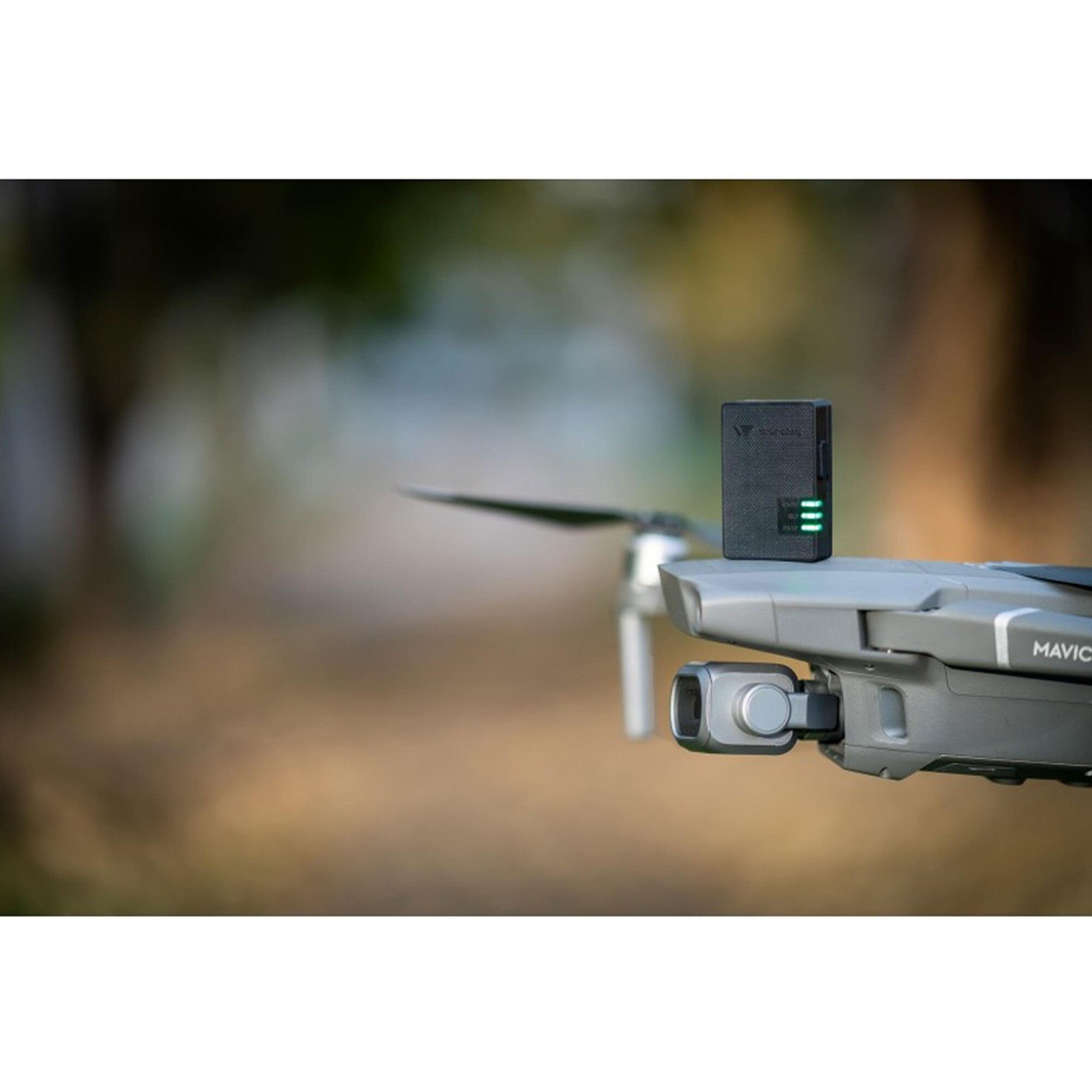
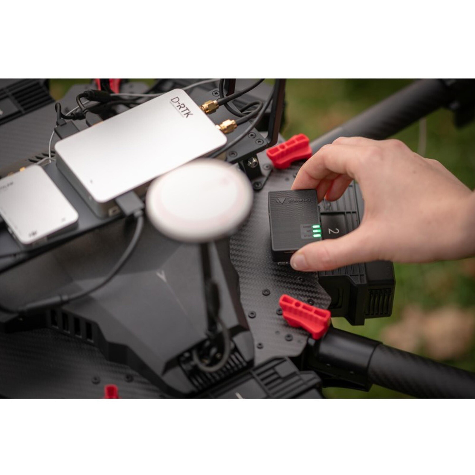
• Mini is attachable to any drone with a strong re-closable dual lock fastener (you can lift the average drone by it). The device has internal GNSS, LTE, and Bluetooth antennas – and offers up to 14 hours of battery life.
FEATURES:
• Security at its Best | Soldered chip SIM, firmware over the air updates, or DTLS encryption has got you safe and secured
• Multi-constellation GNSS Receiver | Receiving signals from GPS, GLONASS, Galileo, and SBAS for robust and reliable positioning
• Built According to the Newest Remote ID Standards | Compliant with Direct & Network Remote ID according to the prEN 4709-002 and ASTM F3411 Standards
• Internal LTE, Bluetooth, and GNSS Antennas | With an option to add external LTE and Bluetooth antennas for better signal reception
• Battery with up to 14 Hours of Endurance | You can also use your drone as a power source for carefree flights without the need for charging.
• Take-off, Landing, and Free-fall Detection | Worry-free flight start to end. Mini warns other close-by pilots about potential dangers
• Multiple Sensors Onboard | GNSS position estimation, altitude pressure measurement, and motion detection via accelerometer
• MAVLink & DJI A3 Support | Professional DJI and Pixhawk flight controller integration via our EXT port to get onboard data
SPECIFICATIONS:
• Cellular: LTE-M and Narrowband loT (ND-loT)
• Cellular Bands: 3, 8, 20 for the EU and 2, 4, 12 for the US
• Short-range Radio: Bluetooth 2.4GHz
• Sensors: GNSS, barometer, accelerometer
• Positioning: GPS L1, GLONASS L1, Galileo E1, SBAS
• SIM Card: Chip SIM soldered on the mainboard
• Built-in Antennas: Interal LTE, Bluetooth, and GNSS
• Optional Antennas: External LTE and Bluetooth via MMCX plugs
• External Ports: 3.3V extension connector and 5V Micro USB
• Battery: LiPo 3.7V 500mAh
• Battery Life: 8-14 hours (depending on the configuration)
• Charging: 5V Micro USB
• Charging Time: 2 hours from a discharged state
• Average Current Consumption: 50mA
• Maximum Current Consumption: 1A
• Enlosure: plastic
• Fastening Mechanism: 3M Dual-lock SJ4570
• IP Rating: IP43
• Operating Temperature: -4° to 140°F
• Dimensions: 2.1 x 1.3 x .6in
• Weight: 1.1oz
Additional information
| Weight | .5 lbs |
|---|


