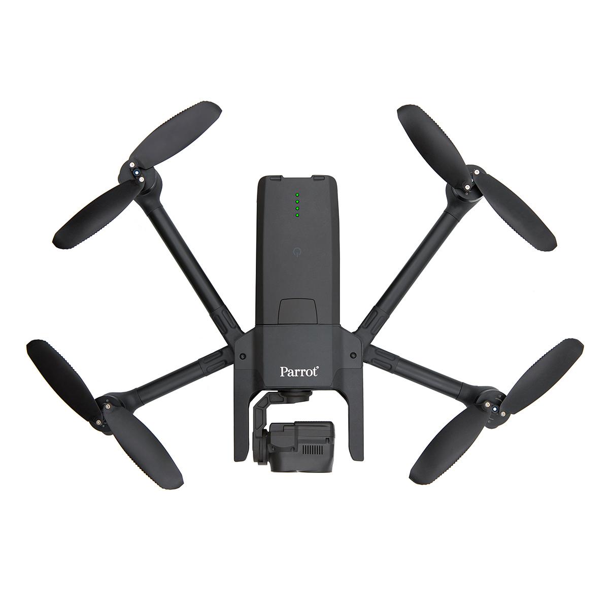
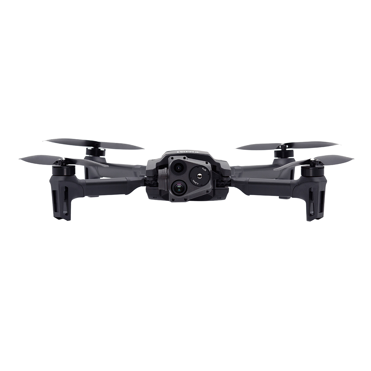
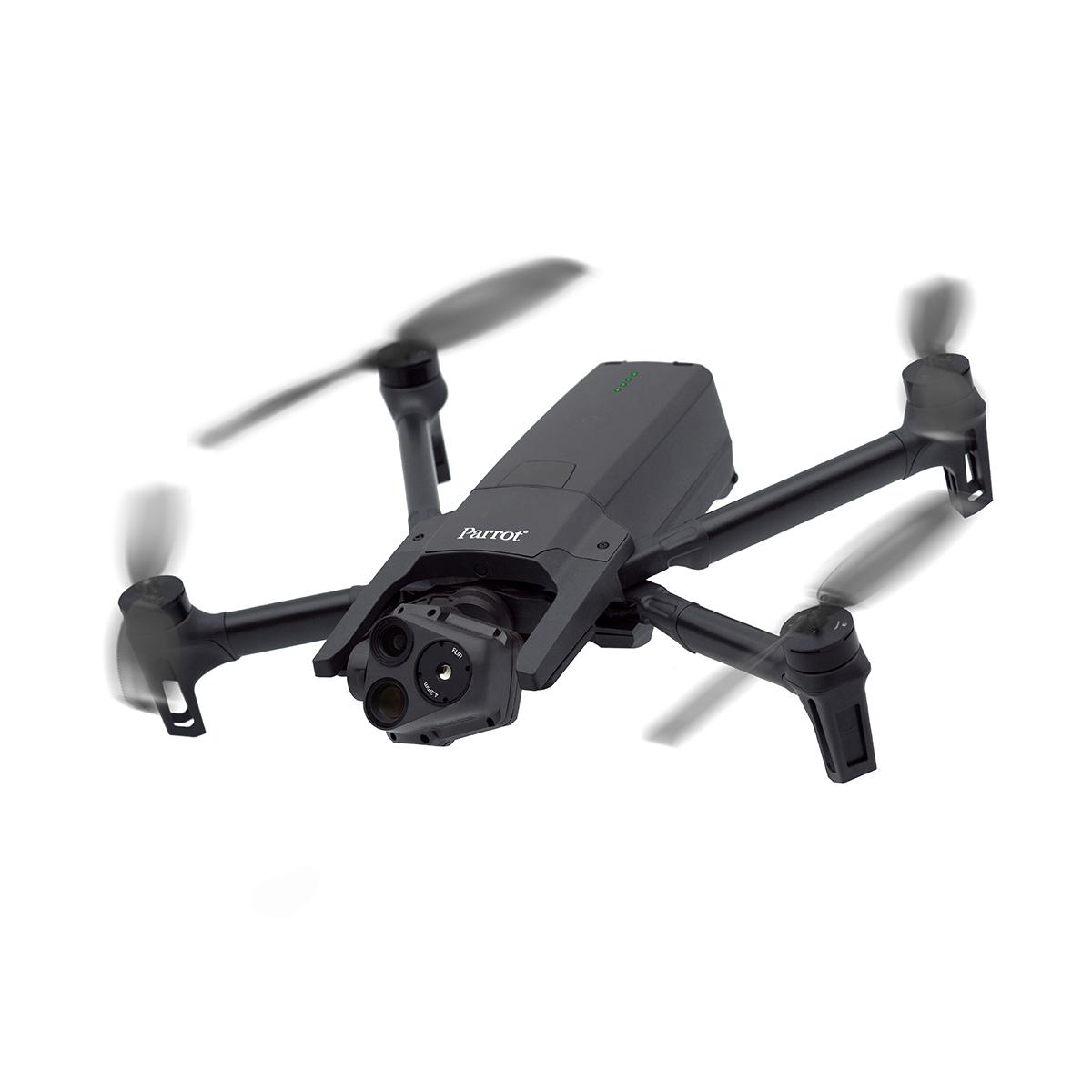
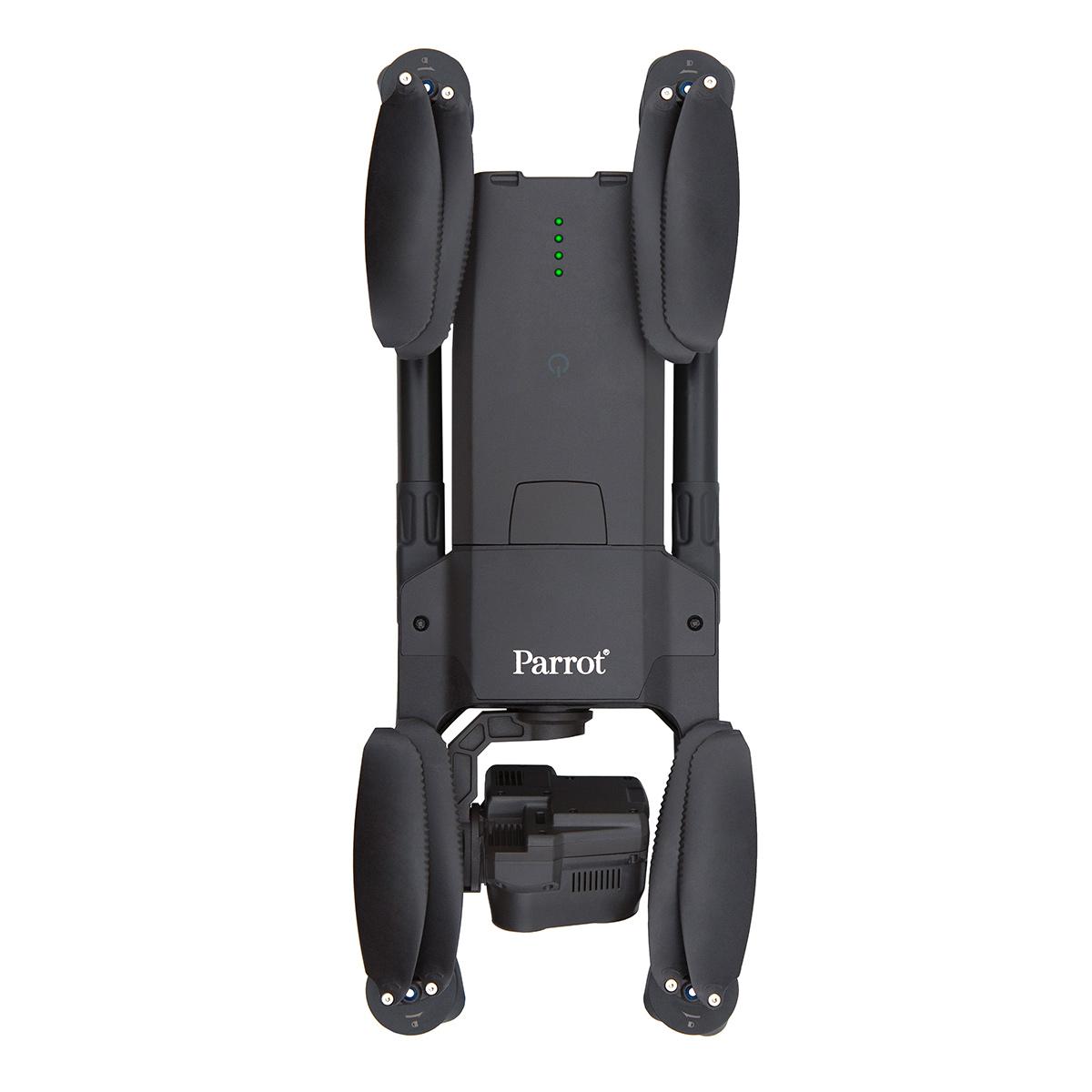
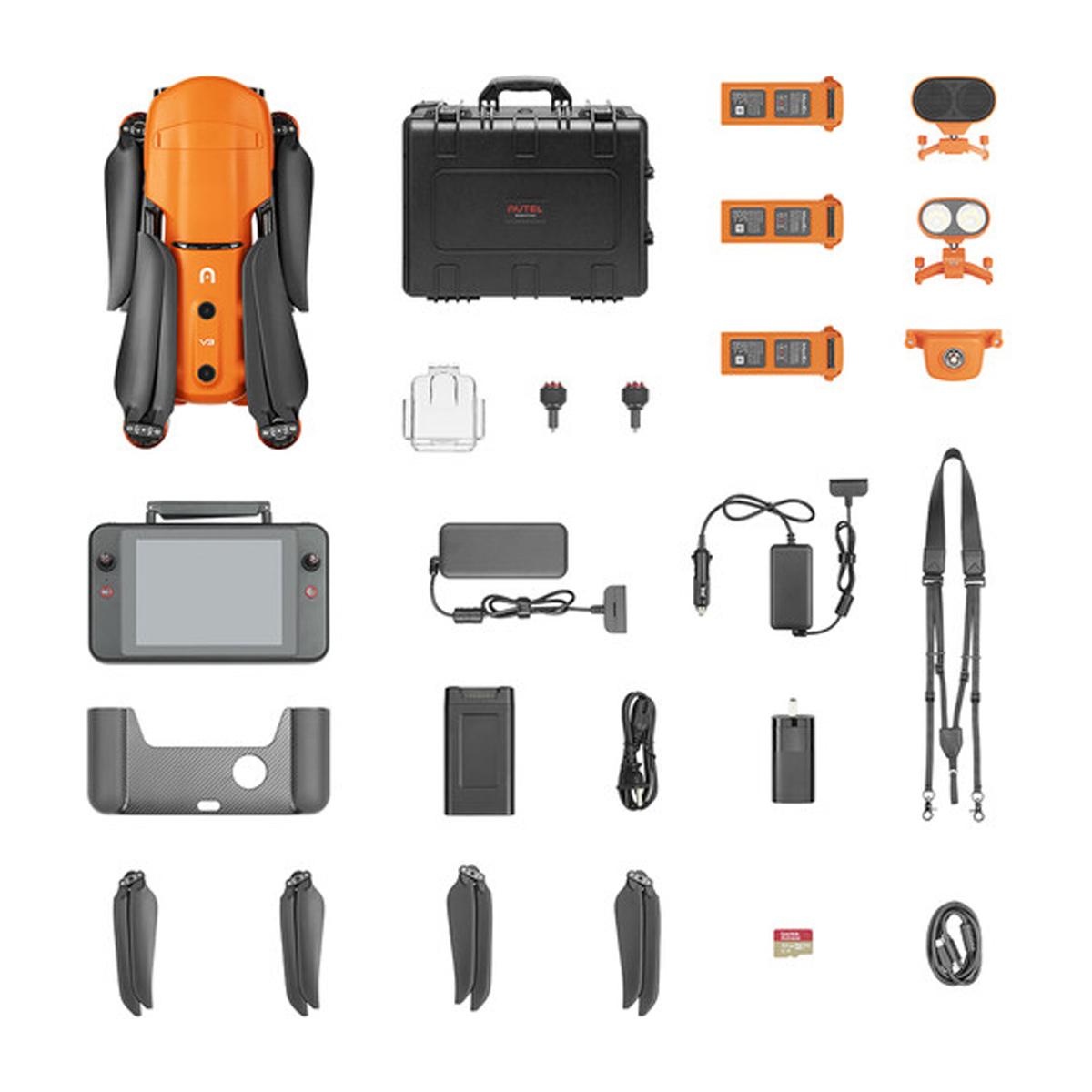
Stabilized X32 Zoom Thermal Imagery | 4K Visual Excellence
The 32x zoom allows operators to see details clearly from up to 2 km (1.2 mi) away.
The zoom image is coupled (blended) with images from ANAFI USA’s FLIR camera. This enables operators to detect hot spots with the thermal camera, from an altitude of up to 131 ft.
RUGGED AND READY
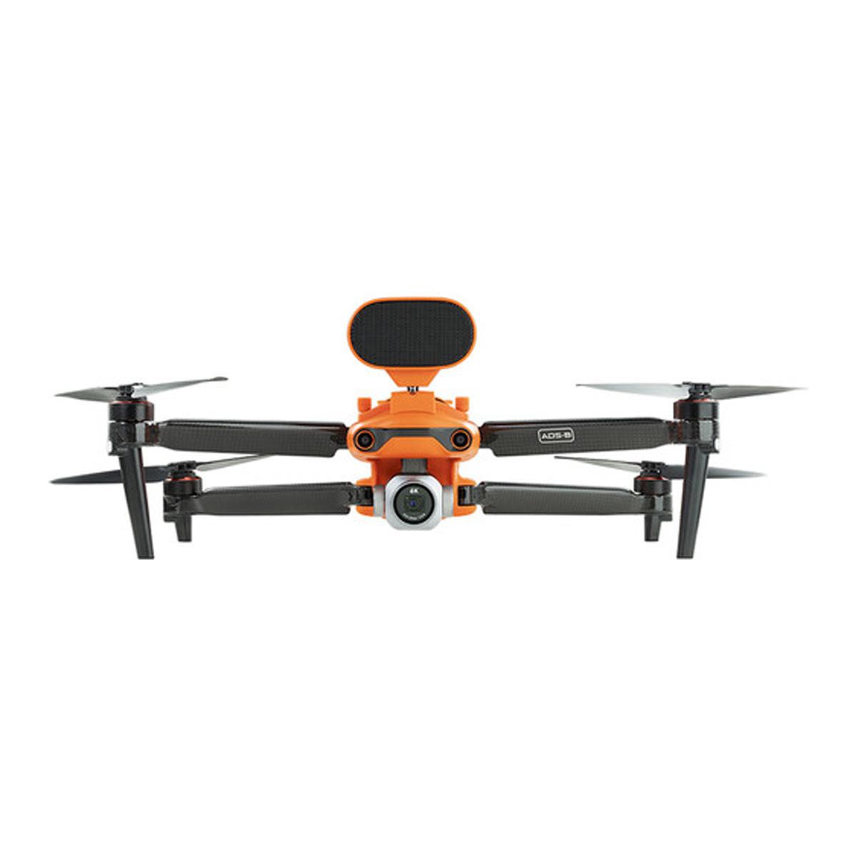
ANAFI USA is flight ready in 55 seconds: it takes less than 55 seconds to unfold the drone, turn it on, establish the secure radio link and take off.
ANAFI USA has zero no fly zone limitation.
Cybersecurity – Made in the USA
Data Encryption
Trusted and Proven Globally
The largest Partner Ecosystem for drones.
Extend your professional usage.
Advanced flight features designed to meet the unique needs of Professionals.
- Powered by a new version of free-flight 6, ANAFI’s acclaimed piloting software
- Fly by coordinates in assisted framing or full autonomous flights: define points of interest (POI), waypoints (WP) and landing points with their satellite navigation coordinates (GPS, Glonass, Galileo)
- Create a flight plan with pre-set automatic flights and target-tracking
- Editable “return to home” (RTH) feature
Compatible with industry-leading solution providers, available SDK for an ever-growing ecosystem.
- Open source SDK (software development kit) for application developers
- Compatible with the industry-leading mapping software PIX4Dreact (2D Mapping)
- Natively compatible with Survae (intelligent video, image, and data platform), DroneLogbook (operation and fleet management), Kittyhawk (security and compliance for enterprise UAS operations), Dronesense (the all-in-one platform for public safety operations), Planck AeroSystems (landing on moving vehicle) and Skyward, a Verizon company (aviation management platform)
Additional information
| Weight | 10 lbs |
|---|


