")
 LEADING THE WAY IN TECHNOLOGY
SHOP SOLUTIONS
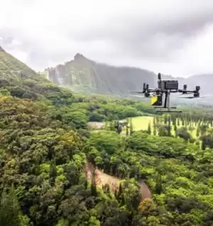
UNMANNED
Every place is in reach with our unmanned solutions.
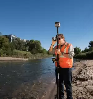
GEOSPATIAL
Accurately collecting data – geographically & topographically.

UNDERGROUND UTILITIES
Damaging buried utilities can be both expensive and dangerous.
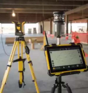
BUILDING CONSTRUCTION
At Frontier Precision, we’re constructing a smarter way to measure.

CIVIL CONSTRUCTION
Reliable and rugged civil construction technology systems.

SOFTWARE & SERVICES
Providing accurate & efficient solutions with confidence.
FEATURED PRODUCTS
GEOSPATIAL


ALL FRONTIER PRECISION PRODUCTS
Filter By
Showing 649–672 of 686 results
-

Used Trimble RTS555 5″ Robotic Total Station
Call for Price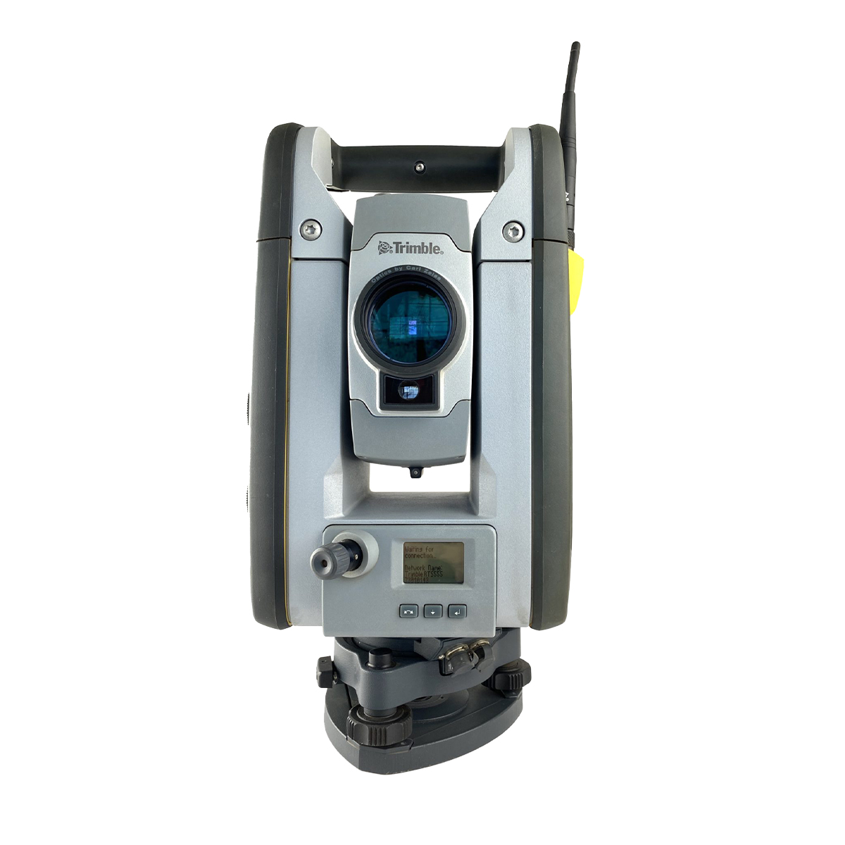
Used Trimble RTS555 5″ Robotic Total Station
Call for PriceThe Trimble RTS555 robotic total station helps contractors perform layout tasks significantly more efficiently than with conventional mechanical systems for residential and building construction. Designed specifically for concrete, MEP, and general construction contractors, the Trimble RTS Series Robotic Total Stations offer construction-specific functionality and one-person operation so you can perform all jobsite layout and measurement tasks for maximum flexibility and cost savings.
Quick View -
Used Trimble RTS655 5″ Robotic Total Station
Call for Price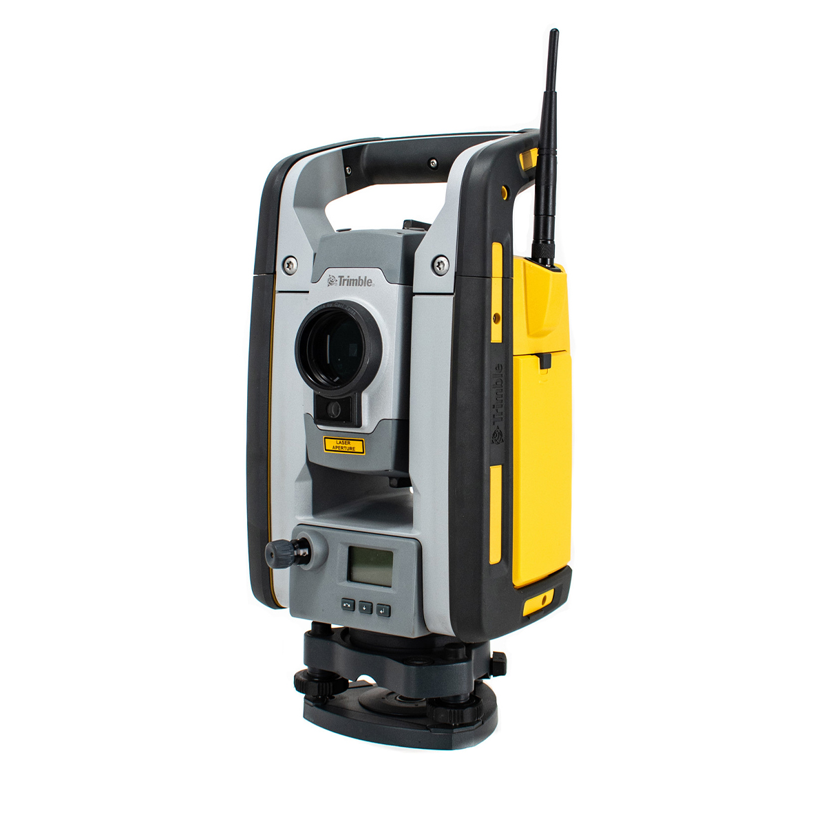
Used Trimble RTS655 5″ Robotic Total Station
Call for PriceWith the Trimble RTS655 Robotic Total Station contractors can improve efficiency and accuracy for common layout tasks in building construction.
Quick View -

Used Trimble RTS773 3″ DR Robotic Total Station
Call for Price
Used Trimble RTS773 3″ DR Robotic Total Station
Call for PriceThe RTS773 incorporates advanced technologies to deliver accurate and reliable layout fast, to ensure that design intent is executed correctly the first time.
Quick View -

Used Trimble S6 3” Robotic Total Station
Call for Price
Used Trimble S6 3” Robotic Total Station
Call for PriceThe Trimble® S6 Robotic Total Station provides the power and flexibility required by today’s Surveying Professionals. With the industry’s most advanced technology and available feature set, the Trimble S6 Robotic Total Station will meet the changing needs of your business, allowing your investment to go further.
Quick View -

Used Trimble SPS610 5″ DR Robotic Total Station
Call for Price
Used Trimble SPS610 5″ DR Robotic Total Station
Call for PriceWith cable-free operation in Autolock, Servo or Robotic modes, the Trimble ® SPS610 Total Station is the straightforward solution for site measurement, stakeout, and reflectorless measurement needs. This versatility provides the contractor with an easy-to-set up, easy-to-use positioning sensor that increases productivity in the field.
Quick View -
Used Trimble SPS700 5″ Robotic Total Station
Call for Price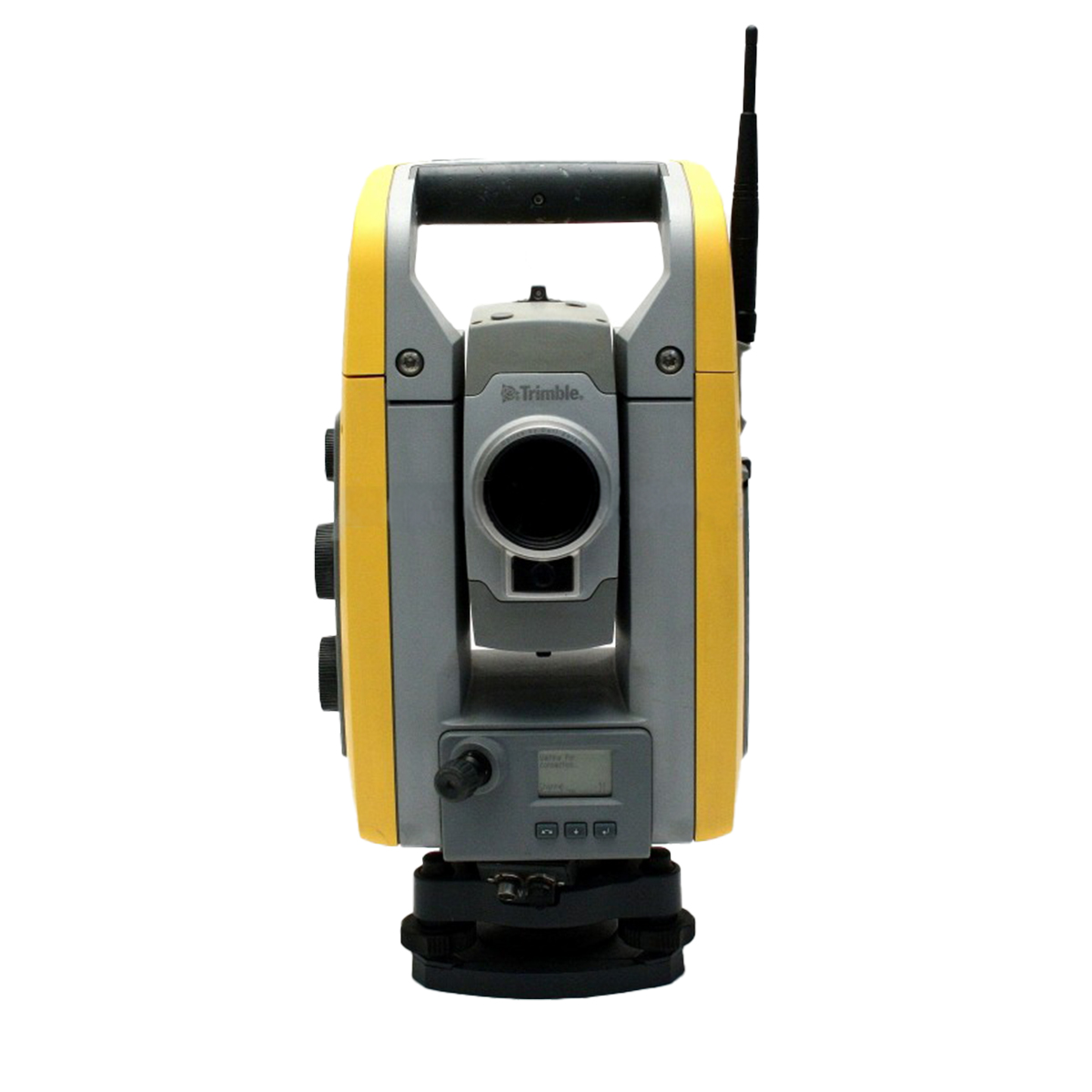
Used Trimble SPS700 5″ Robotic Total Station
Call for PriceThe Trimble® SPS700 Construction Total Station, a key component of the Trimble Site Positioning System, builds on over 50 years of total station technology to deliver unmatched performance for construction jobsite applications.
The simple solution to all your site measurement and stakeout applications, the SPS700 construction total station takes little or no setup time and requires only two known points to establish position and orientation.
Quick View -

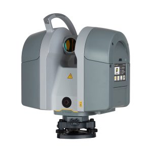
Used Trimble SX10 1” Scanning Total Station
Call for Price
Used Trimble SX10 1” Scanning Total Station
Call for PriceThe Trimble® SX10 scanning total station redefines the capabilities of everyday survey equipment by providing the world’s most innovative solution for surveying, engineering, and scanning professionals.
Quick View -

Used Trimble T10 Tablet
Call for Price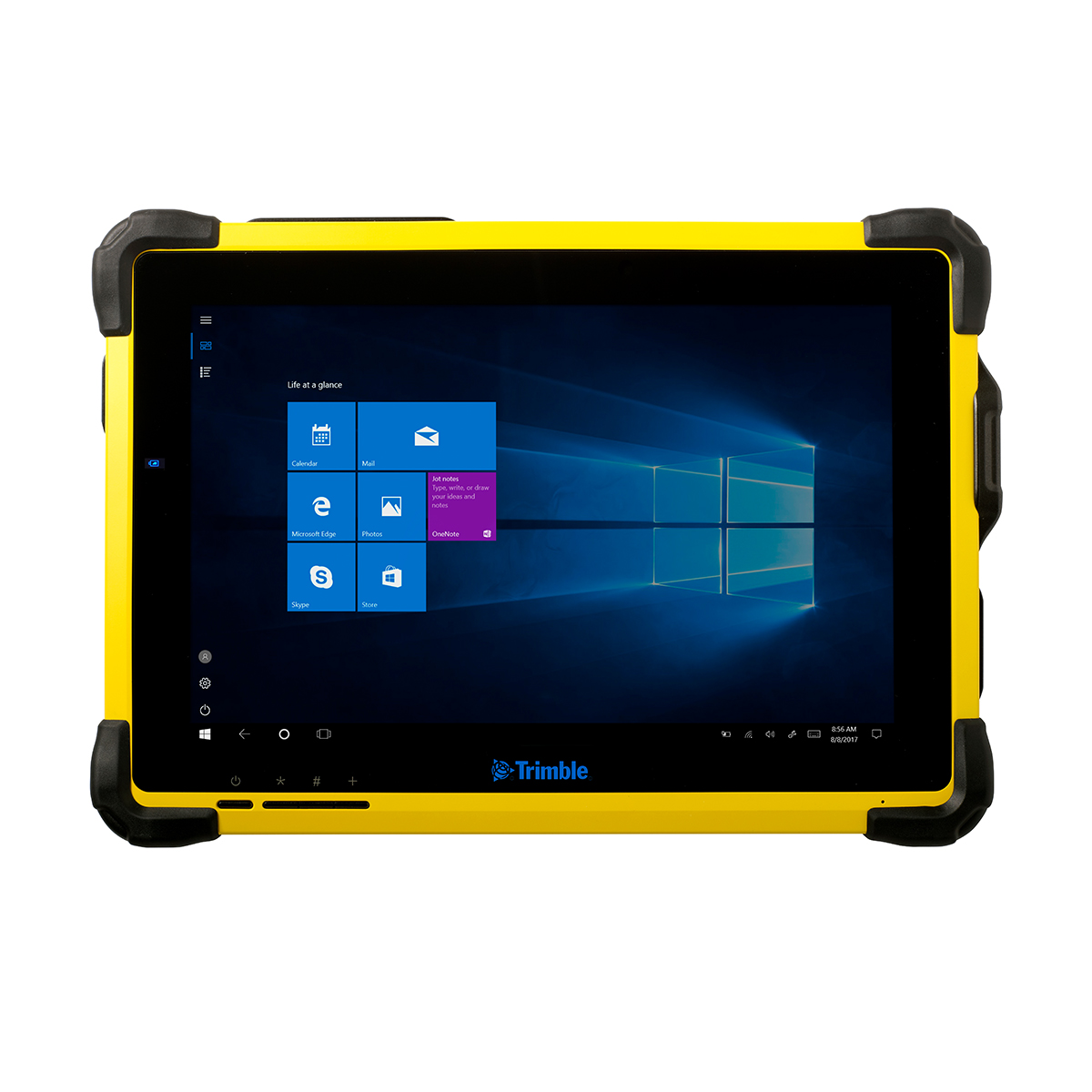
Used Trimble T10 Tablet
Call for PriceThe Trimble® T10 tablet brings the advantages of fast computing power and a large screen to the field. Combined with integrated GNSS capabilities, the T10 is a powerful, rugged device created for survey fieldwork and GIS data collection and at the same time supports demanding desktop applications.
Quick View -
Used Trimble T7 Tablet
Call for Price
Used Trimble T7 Tablet
Call for PriceThe Trimble® T7 tablet is a rugged field controller that provides flexibility for survey and GIS applications that integrates seamlessly with Trimble field software and Trimble’s suite of GNSS receivers and total stations to provide a complete, fully integrated field solution for surveyors and GIS professionals.
Quick View -
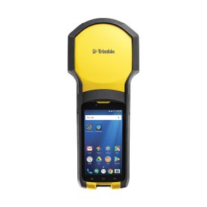
Used Trimble TDC150 Handheld
Call for Price
Used Trimble TDC150 Handheld
Call for PriceThe Trimble TDC150 GNSS handheld receiver is built for GIS users who demand maximum productivity and positioning accuracy out on the job. Offering a fully integrated, ultra-rugged solution that has the flexibility of a handheld, an intuitive Android-based user interface, and scalable high accuracy positioning, the high-performing TDC150 is your productive partner in the field.
Quick View -
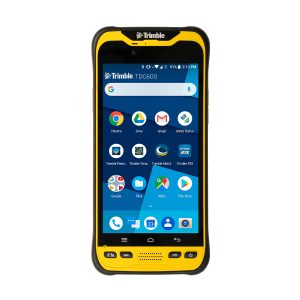
Used Trimble TDC600 Handheld
Call for Price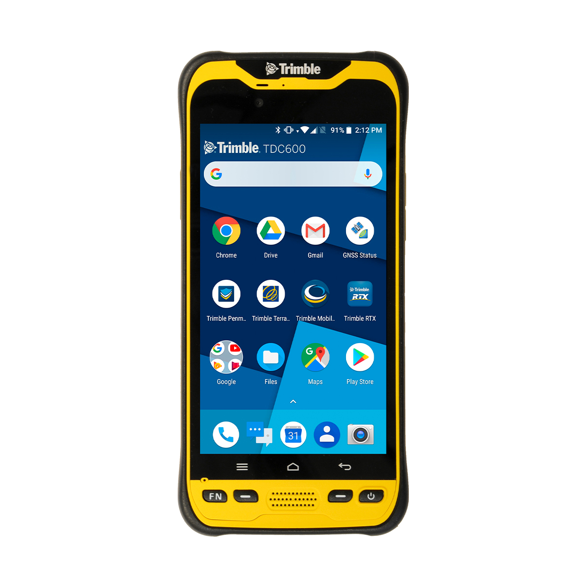
Used Trimble TDC600 Handheld
Call for PriceThe Trimble® TDC600 handheld is a sleek, all-in-one rugged smartphone with a built-in professional GNSS receiver. Designed for ease-of-use in a wide range of GIS applications, the TDC600 helps you collect and retrieve highly accurate spatial information while staying in touch with the office—all with a single device. It’s the smart, productive way to collect data and communicate from the field.
Quick View -
Used Trimble Tornado Antenna
Call for Price
Used Trimble Tornado Antenna
Call for PriceThe Trimble® Tornado™ external dual frequency antenna contains advanced technology for extremely low multipath, outstanding low elevation satellite tracking, and high phase center accuracy. Use the Tornado antenna together with a Trimble H-Star enabled handhelds and receivers for high-accuracy mapping and GIS data collection.
Quick View -

Used Trimble TSC2 Controller
Call for Price
Used Trimble TSC2 Controller
Call for PriceThe Trimble® TSC2® Controller is an advanced handheld computer especially designed for Trimble optical and GPS surveying systems.
Quick View -
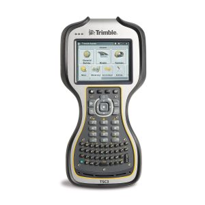
Used Trimble TSC3 Controller
Call for Price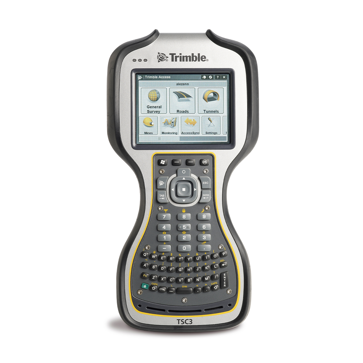
Used Trimble TSC3 Controller
Call for PriceStreamline the flow of everyday surveying work to make field work more efficient with the fully integrated TSC3 controller.
Quick View -

Used Trimble TSC7 Controller
Call for Price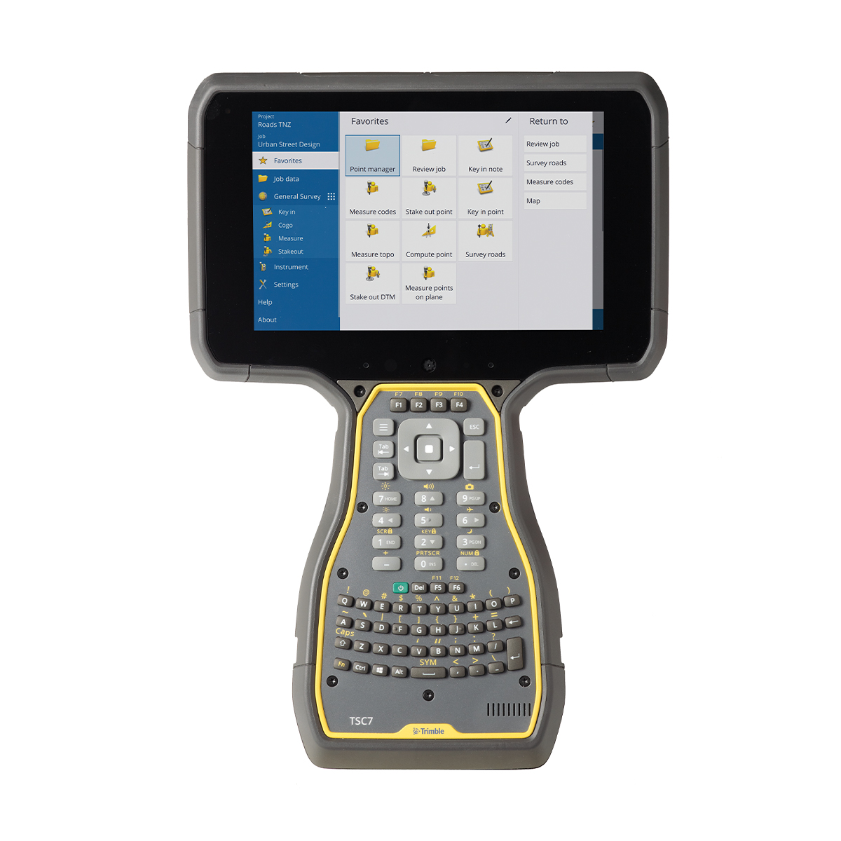
Used Trimble TSC7 Controller
Call for PriceThe Trimble® TSC7 + Trimble Access software make it the must‑have controller for survey fieldwork and scanning. Faster and more powerful than its predecessors, the TSC7 Controller offers a modern 7-inch touchscreen and more memory, improving overall productivity and efficiency.
Quick View -
Used Trimble TX8 Laser Scanner
Call for Price
Used Trimble TX8 Laser Scanner
Call for PriceThe Trimble TX8 delivers the power and flexibility to tackle even the most demanding projects. Designed for performance the Trimble TX8 enables you to complete 3D laser scanning projects faster than ever.
Quick View -
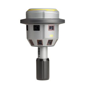
Used Trimble V10 Imaging Rover
Call for Price
Used Trimble V10 Imaging Rover
Call for PriceThe Trimble V10 Imaging Rover with Trimble VISION™ technology is an integrated camera system that precisely captures 360-degree digital panoramas for efficient visual documentation and measurement of the surrounding environment. As a complete system solution, the Trimble V10 enables you to capture more critical information that can be transformed into enhanced, rich geospatial deliverables.
Quick View -

Used Trimble Yuma 2 Rugged Tablet
Call for Price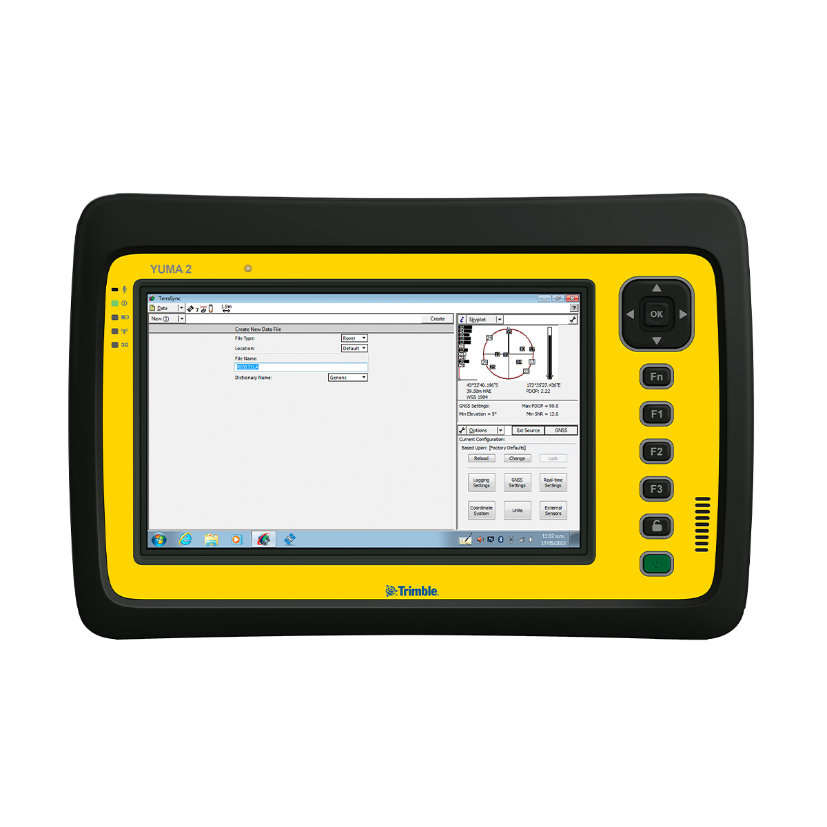
Used Trimble Yuma 2 Rugged Tablet
Call for PriceThe Trimble® Yuma® 2 rugged tablet computer is designed for ease of use and high performance mobility. Great for GIS applications – it’s like bringing a complete PC out into the field. The big bright screen makes it easy to view and use detailed maps, and with more processing power, it is fast. Safeguard your data in the face of dust, sand, mud, humidity, and extreme temperatures. Collect information, capture photos, and communicate with headquarters, all with the assurance that your data is protected.
Quick View -
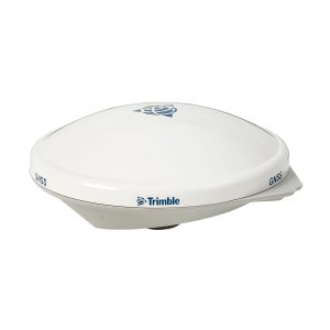
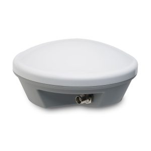
Used Trimble Zephyr 2 Antenna
Call for Price
Used Trimble Zephyr 2 Antenna
Call for PriceThe Trimble Zephyr 2 is a high-performance lightweight GNSS rover antenna optimized for precision RTK applications. The Zephyr 2 GNSS antenna is typically used in roving applications. It minimizes multipath and offers robust low-elevation tracking and sub-millimeter phase center repeatability.
Quick View -
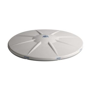
Used Trimble Zephyr 2 Geodetic Antenna
Call for Price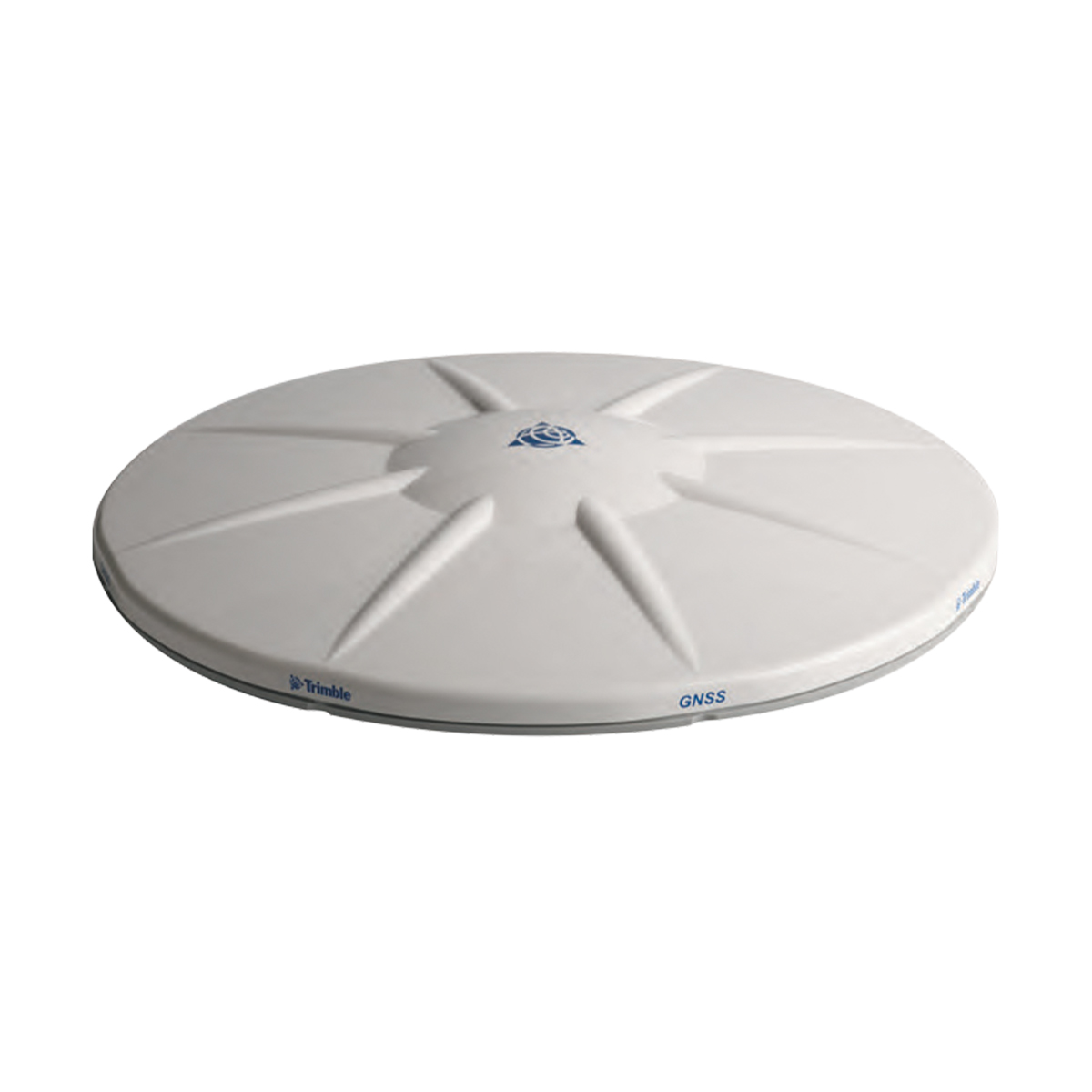
Used Trimble Zephyr 2 Geodetic Antenna
Call for PriceThe Trimble Zephyr 2 Geodetic antenna is extremely rugged and ideal for control work. The Zephyr 2 Geodetic is recommended for all base station applications. This antenna is also suitable as a fixed rover antenna for use in high multi-path environments. The Zephyr 2 Geodetic antenna’s quality performance and extreme accuracy are achieved through sub-millimeter phase center repeatability, robust low-elevation tracking and significantly reduced ground-based multipath.
Quick View -
Used Trimble Zephyr 3 Geodetic Antenna
Call for PriceUsed Trimble Zephyr 3 Geodetic Antenna
Call for PriceThe Trimble Zephyr 3 antennas offer full support for current and near future GNSS signals including GPS, GLONASS, Galileo, BeiDou, OmniSTAR, Trimble RTX and SBAS.
Quick View -

Vision Aerial Vector Hexacopter with Blue Herelink
Call for Price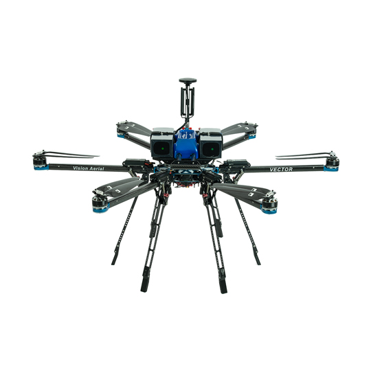
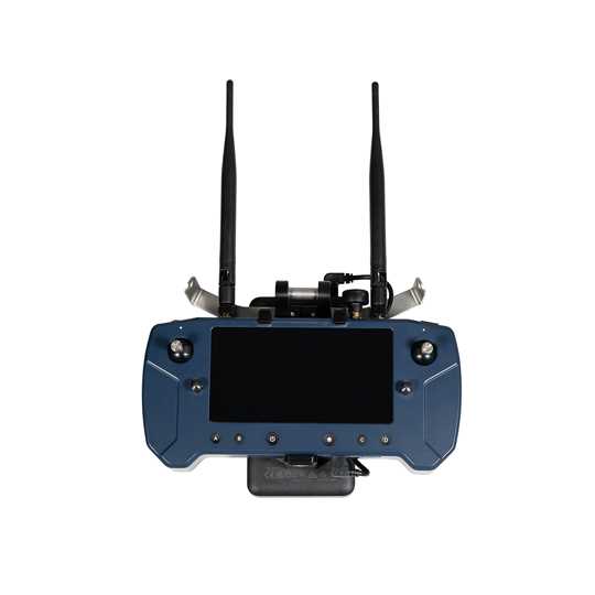

Vision Aerial Vector Hexacopter with Blue Herelink
Call for PriceQuick View -
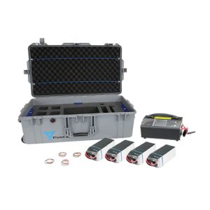
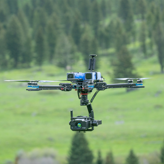
Vision Aerial Vector Solid State Indefinite Flight Package
Call for Price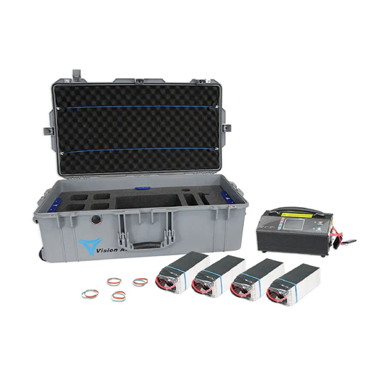
Vision Aerial Vector Solid State Indefinite Flight Package
Call for PriceQuick View -
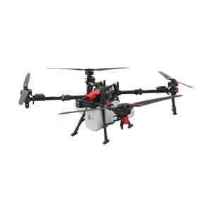
XAG 09-007-00148 P150 Agricultural Drone
Call for Price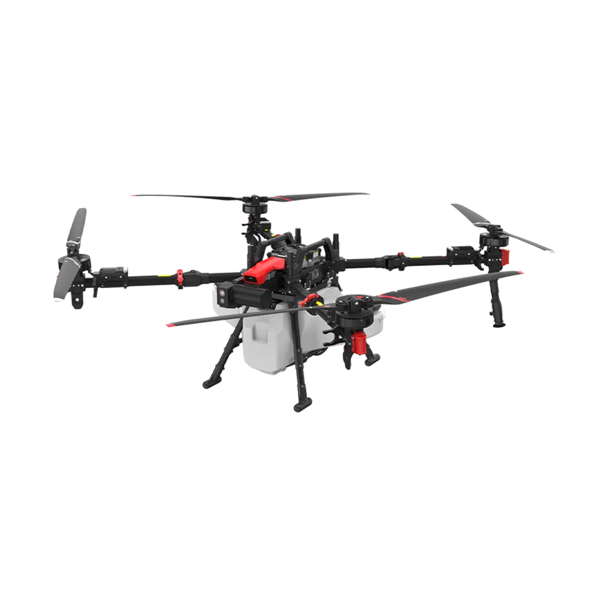
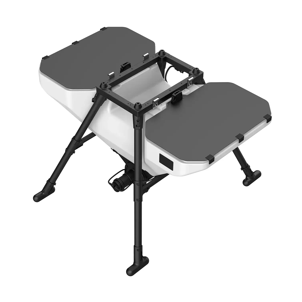
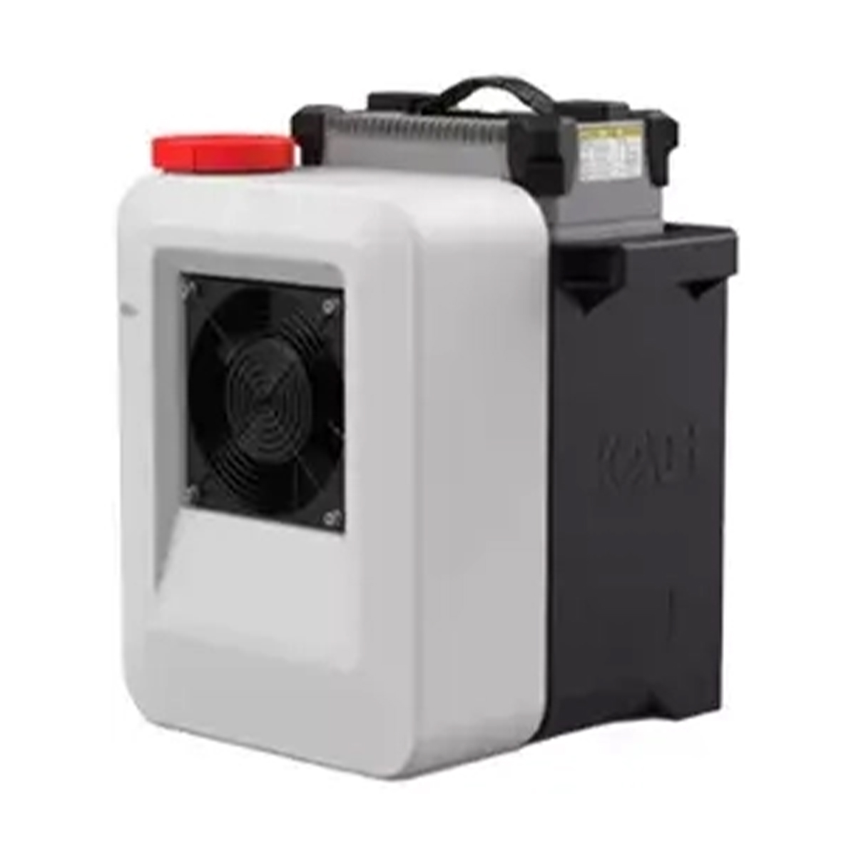
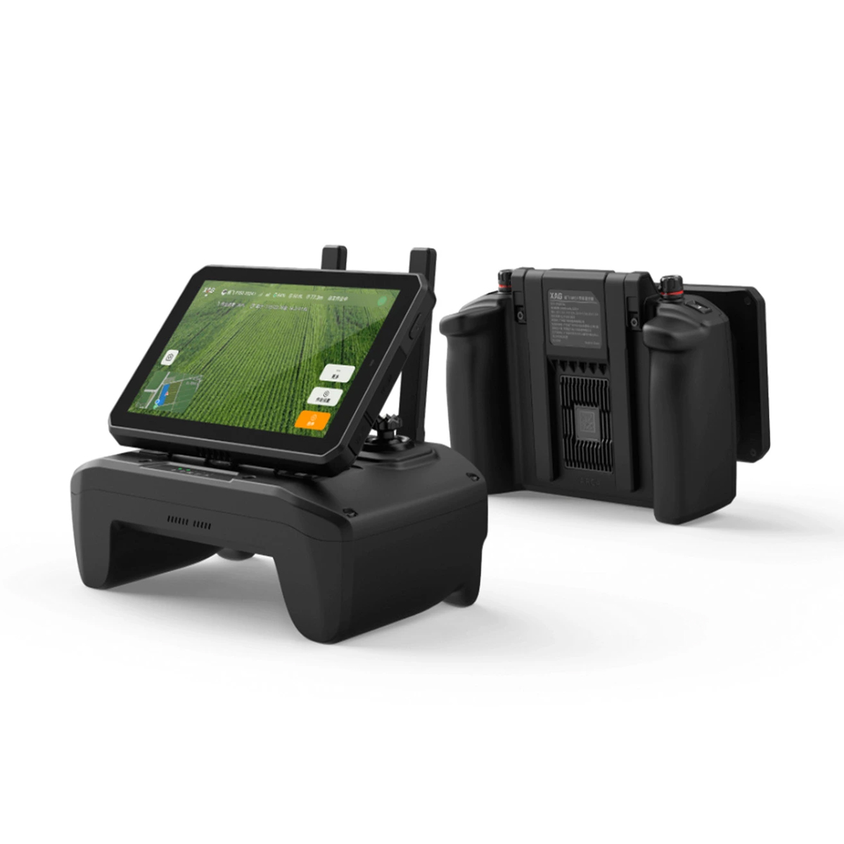

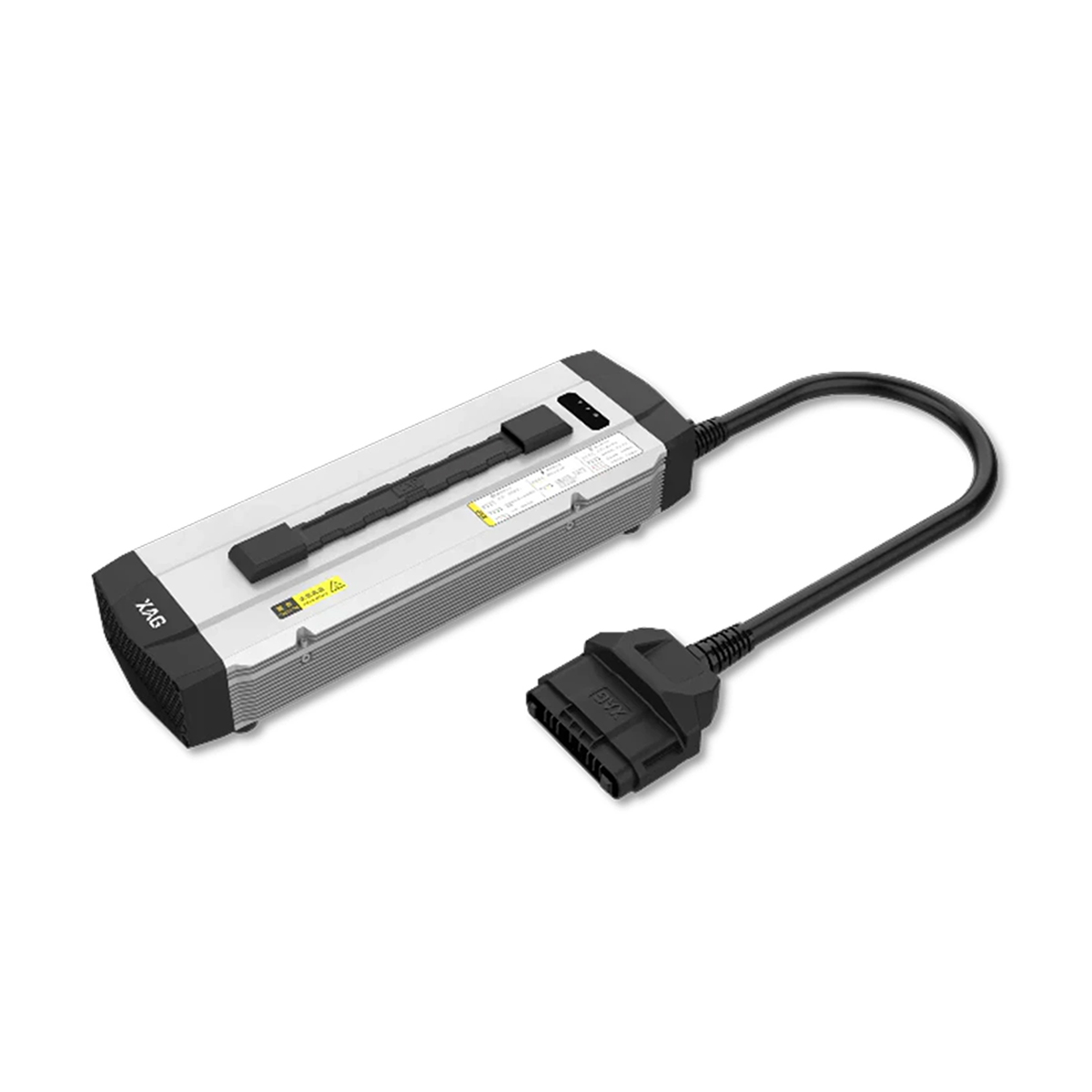
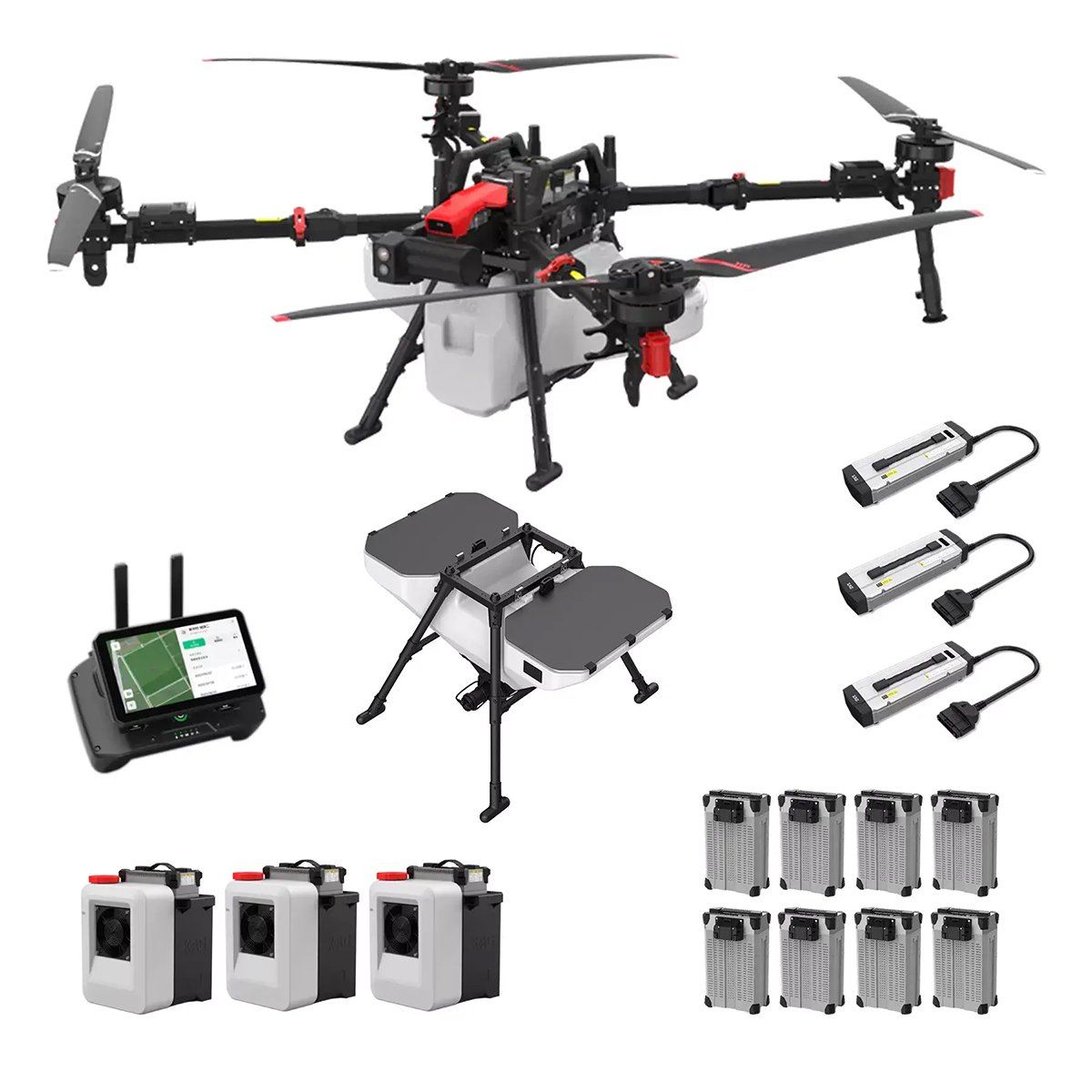

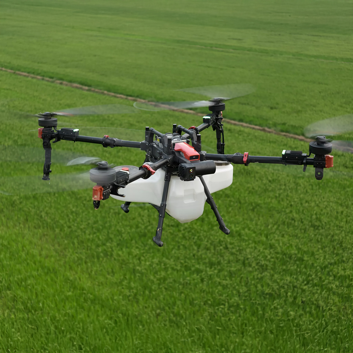
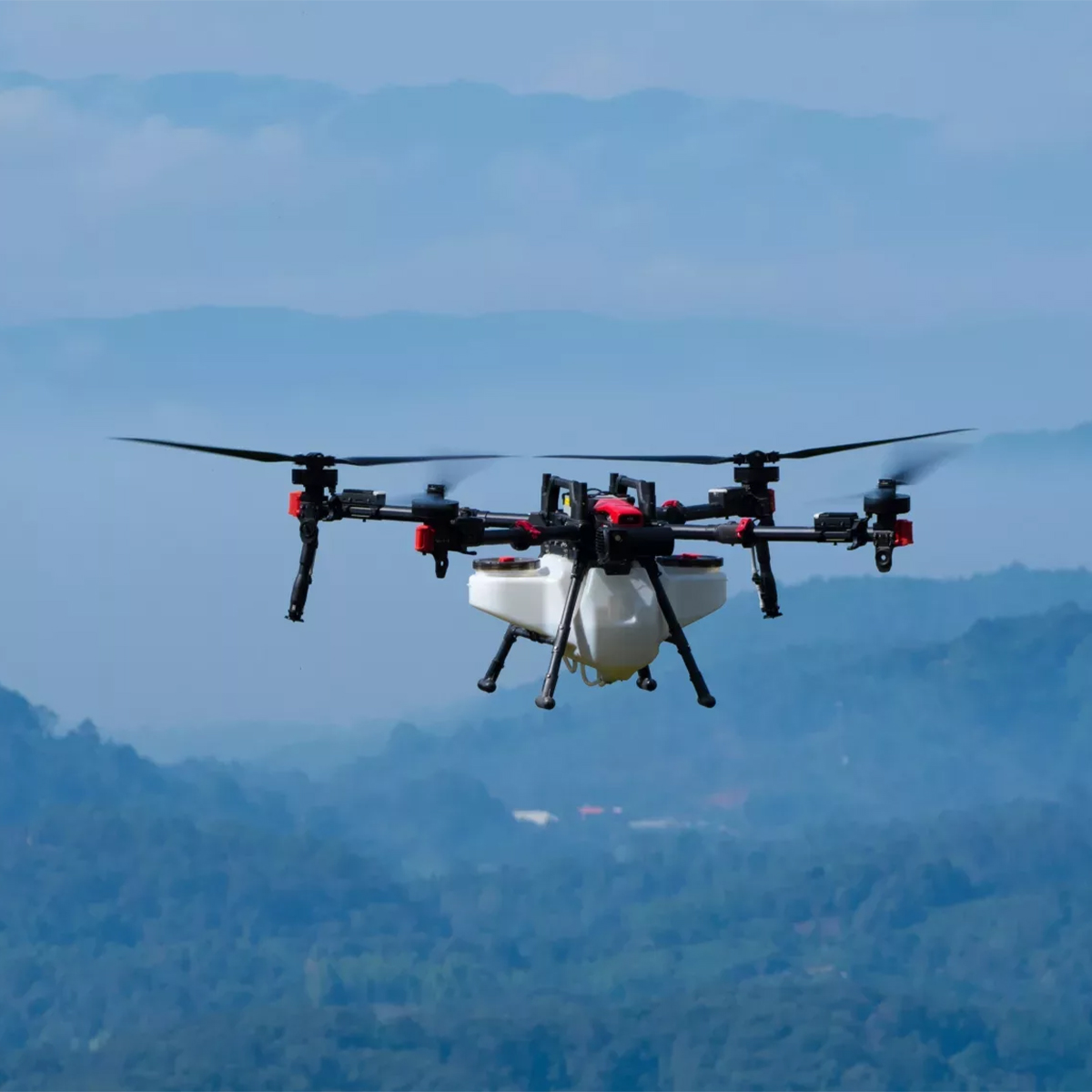
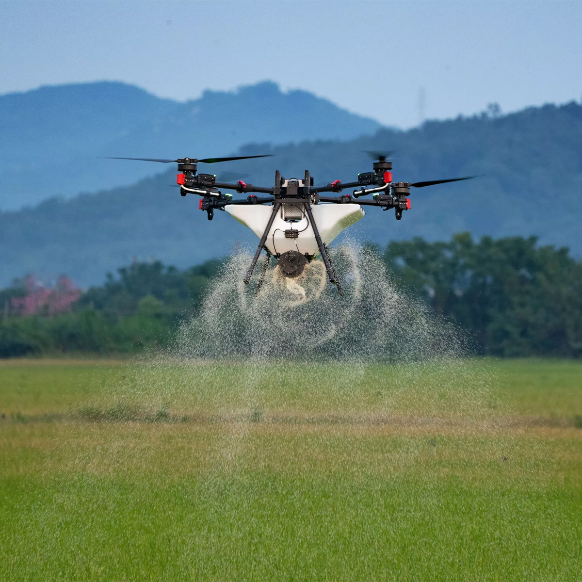
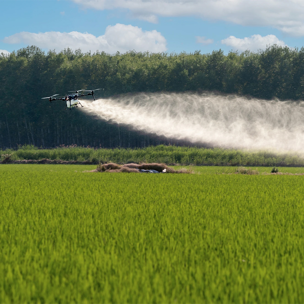

XAG 09-007-00148 P150 Agricultural Drone
Call for PriceXAG 09-007-00148 P150 Agricultural Drone
The Next-Level Efficiency
The XAG P150 is the ultimate agricultural drone designed for spraying, spreading, and field mapping. With a 70 kg maximum payload, it takes efficiency to the next level, helping you farm more sustainably and optimizing inputs.Quick View