

 LEADING THE WAY IN TECHNOLOGY

SHOP SOLUTIONS
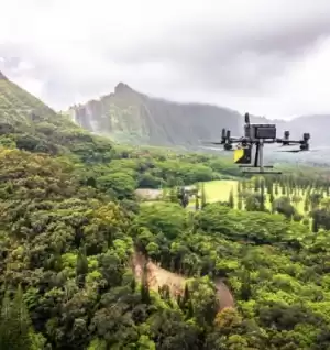
UNMANNED
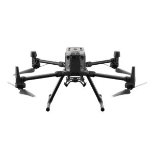
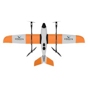
Every place is in reach with our unmanned solutions.
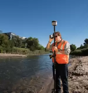
GEOSPATIAL
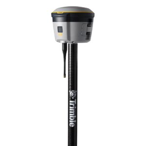
Accurately collecting data – geographically & topographically.
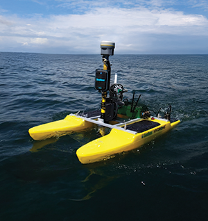
HYDROGRAPHIC SURVEY
Uncrewed Surface Vessels (USVs) for advanced hydrographic surveys.

UNDERGROUND UTILITIES
Damaging buried utilities can be both expensive and dangerous.
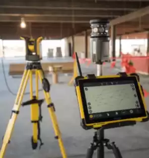
BUILDING CONSTRUCTION
Constructing a smarter way to measure.

SOFTWARE & SERVICES
Providing accurate & efficient solutions with confidence.

CIVIL CONSTRUCTION
Reliable and rugged civil construction technology systems.
FEATURED PRODUCTS
GEOSPATIAL



ALL FRONTIER PRECISION PRODUCTS
Filter By
Showing 673–674 of 674 results
-
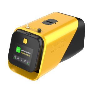
YellowScan YSMPULKIT-SB Mapper Ultra
Call for Price



YellowScan YSMPULKIT-SB Mapper Ultra
Call for PriceYellowScan YSMPULKIT-SB Mapper Ultra
Map Faster. Go Further. See Through.The YellowScan Mapper Ultra is designed for high-performance aerial mapping. With long-range capability, lightweight design, and high-altitude efficiency, it enables professionals to cover large areas faster. Its powerful multi-echo technology ensures sharp data and outstanding vegetation penetration, making it ideal for demanding corridor mapping projects.
Quick View -

Zenmuse P1 w/ DJI Care Enterprise Basic
Call for Price


Zenmuse P1 w/ DJI Care Enterprise Basic
Call for PriceQuick View