")
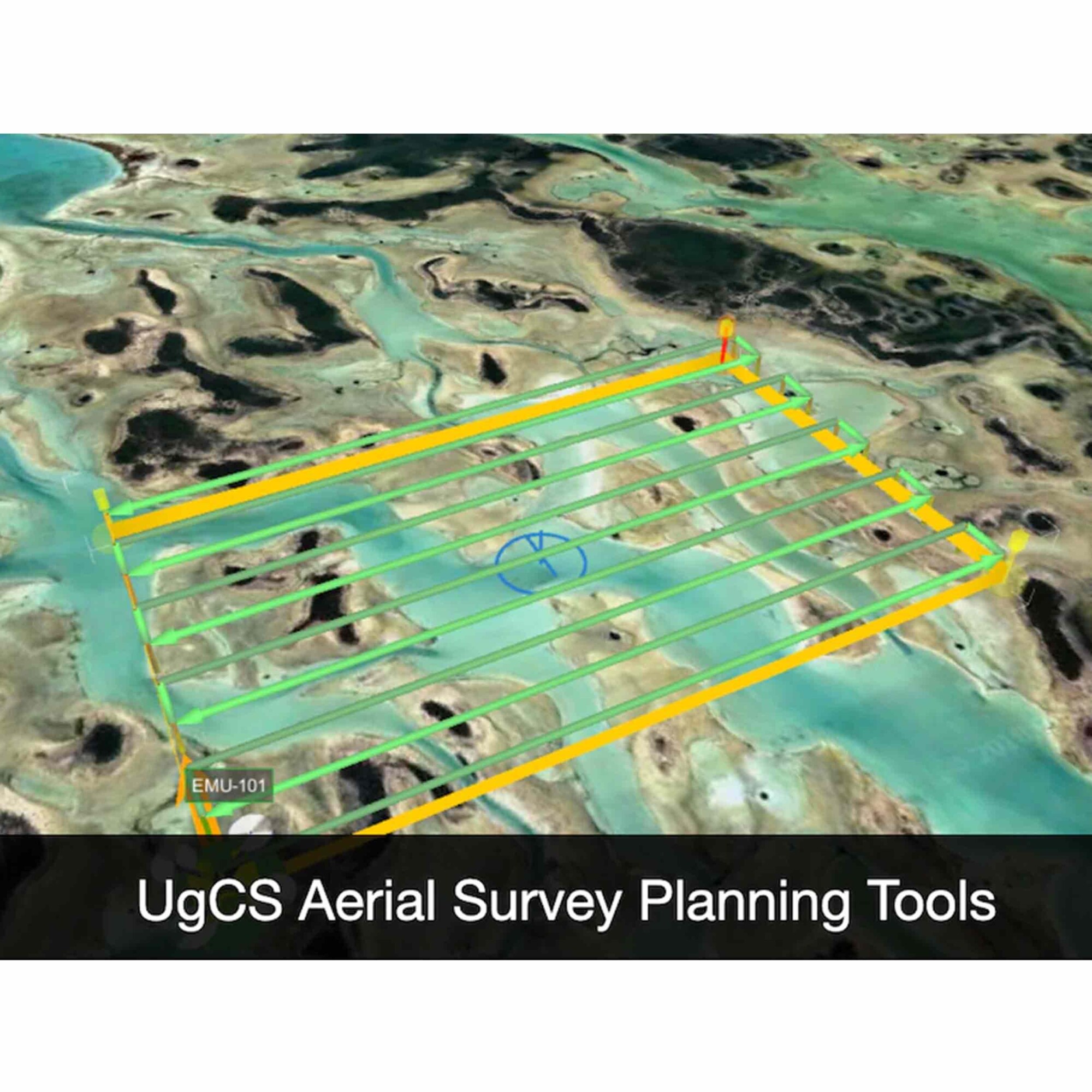
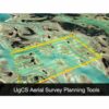
• LiDAR Survey Planning Tools
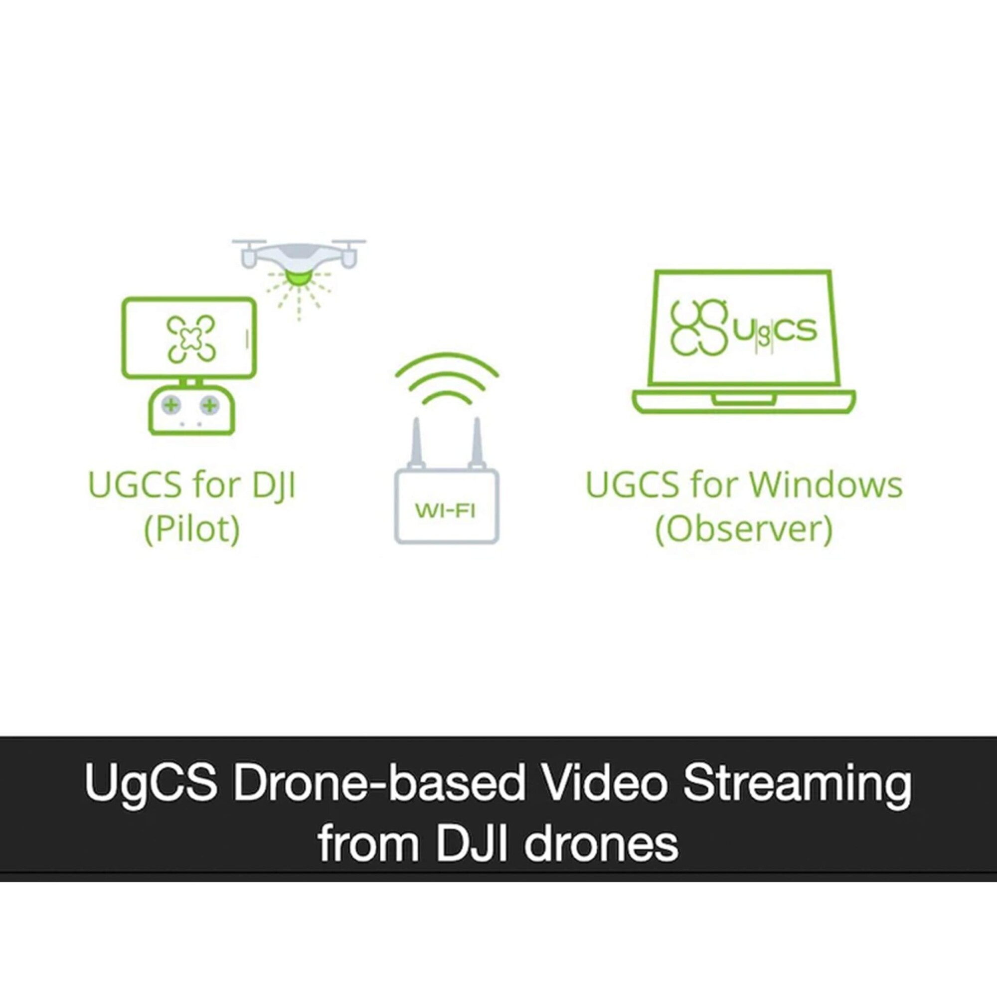
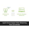
• Live Video Stream from UgCS for DJI to UgCS (currently compatible only with Android and Win)
• Multiple SDK Connections
• ADS-B Transponder
• Compatible with UgCS Mapper to Perform Live Video Mapping
Related products
-

Catalyst Decimeter
Call for Price
Catalyst Decimeter
Call for PriceONLY AVAILABLE FOR DELIVERY IN ND, SD, MN, CO, AK, MT, ID, HI, WY, OR, & WA.
Quick View -

Applanix POSPac UAV Annual Subscription
Call for Price
Applanix POSPac UAV Annual Subscription
Call for PriceONLY AVAILABLE FOR DELIVERY IN ND, SD, MN, CO, AK, MT, ID, HI, WY, OR, & WA.
Quick View -

Trimble Business Center Advanced – Dongle License
Call for Price
Trimble Business Center Advanced – Dongle License
Call for PriceONLY AVAILABLE FOR DELIVERY IN ND, SD, MN, CO, AK, MT, ID, HI, WY, OR, & WA.Quick View -

Catalyst 1 Meter
Call for Price
Catalyst 1 Meter
Call for PriceONLY AVAILABLE FOR DELIVERY IN ND, SD, MN, CO, AK, MT, ID, HI, WY, OR, & WA.
Quick View