


ACCESSORIES
PARTS AND OTHER TOOLS FOR THE WORLD-CLASS EQUIPMENT SOLD & SUPPORTED BY FRONTIER PRECISION
Showing 381–400 of 674 results
-
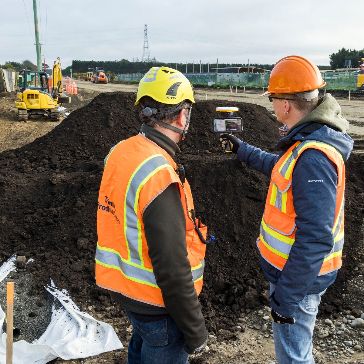
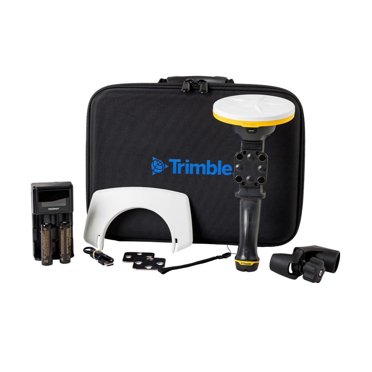
Trimble TSV-YR-GEO-NR SiteVision Augmented Reality Unlimited – Annual Subscription
Call for Price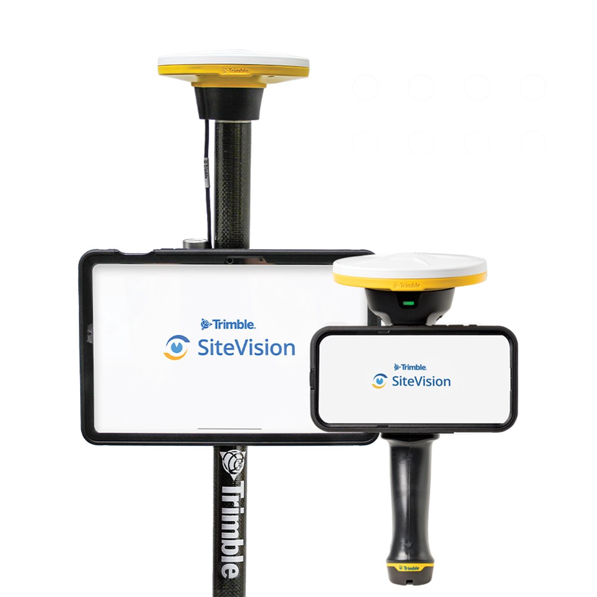
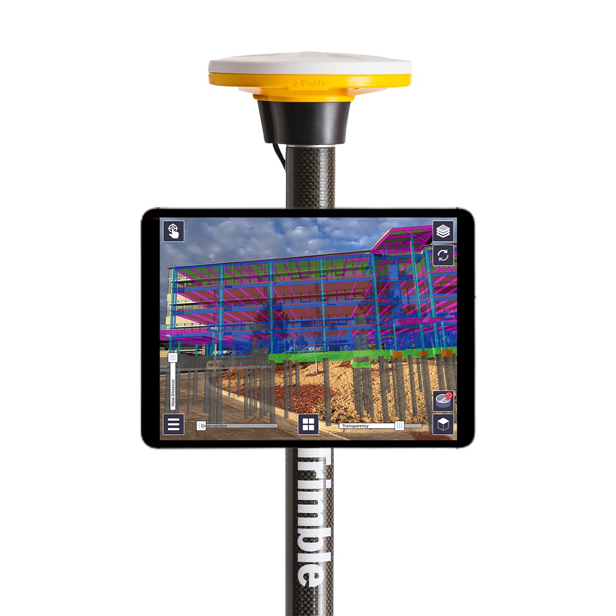
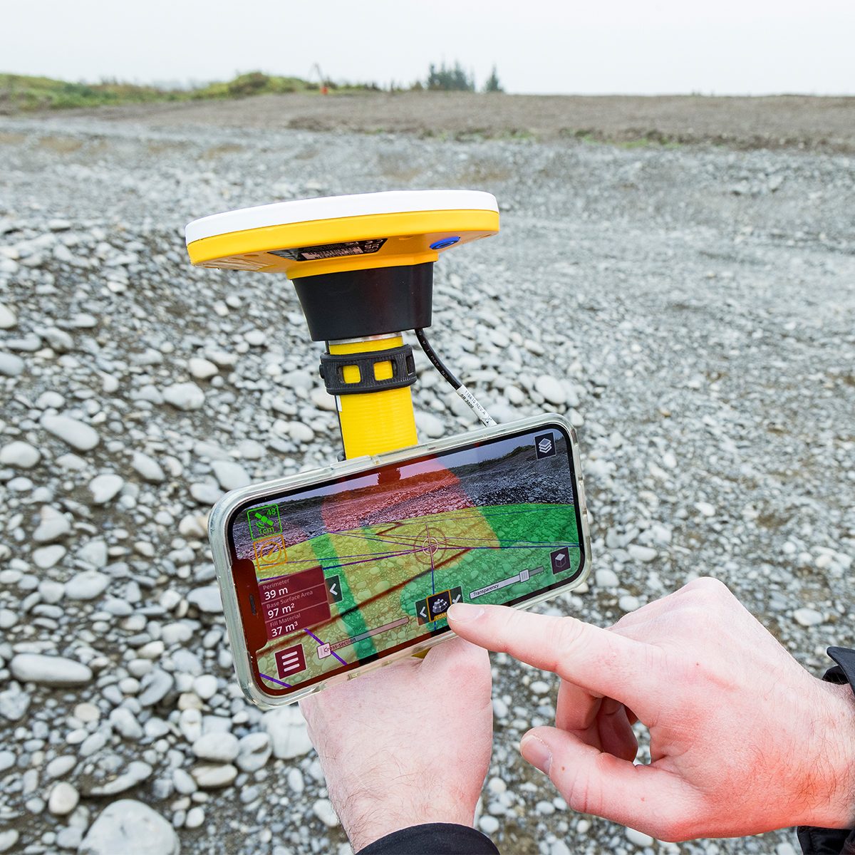
Trimble TSV-YR-GEO-NR SiteVision Augmented Reality Unlimited – Annual Subscription
Call for PriceONLY AVAILABLE FOR DELIVERY IN ND, SD, MN, CO, AK, MT, ID, HI, WY, OR, & WA.Trimble TSV-YR-GEO-NR SiteVision Augmented Reality Unlimited – Annual Subscription
Augmented Reality | Trimble SiteVision
Instant visualization for immediate insights.Trimble® SiteVision® is a real-time, in-field visualization software for collaborating on project progress and detecting design changes or conflicts. Choose your hardware configuration to collect images, GNSS points, EDM points or LiDAR scans.Quick View -

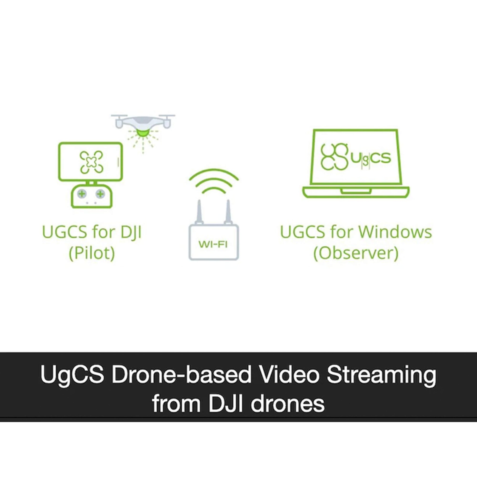
UgCS Enterprise Perpetual
Call for Price
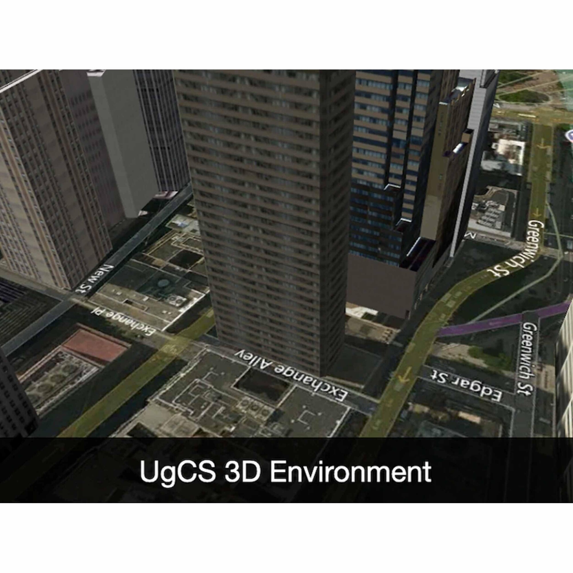
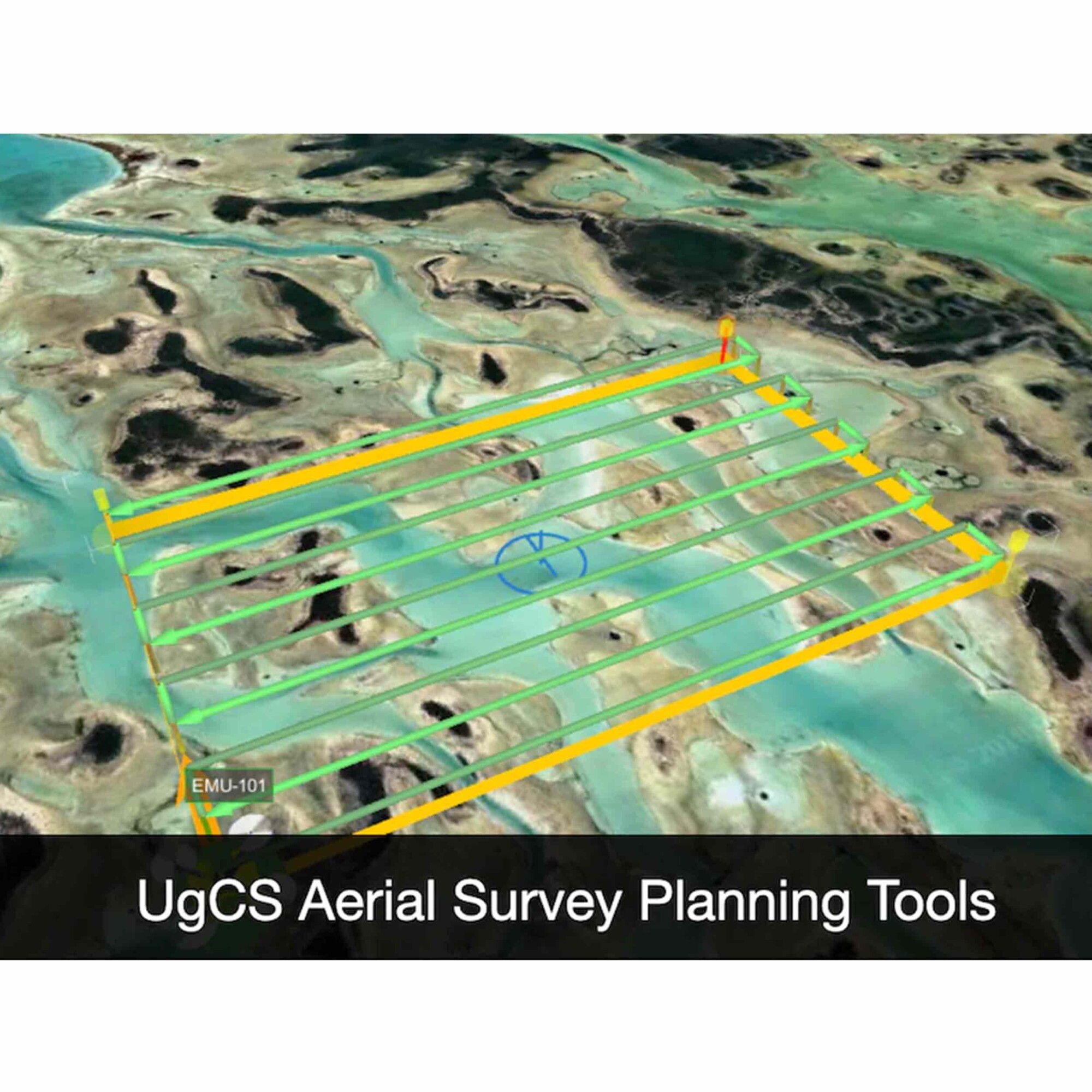
 Quick View
-

UgCS Expert Perpetual
Call for Price
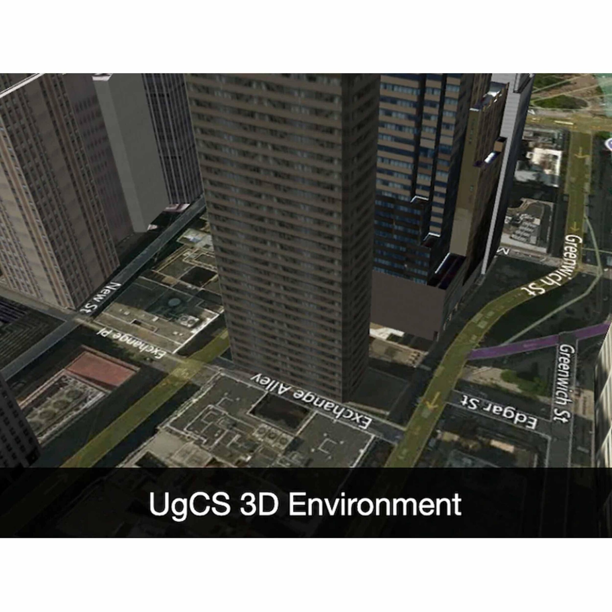
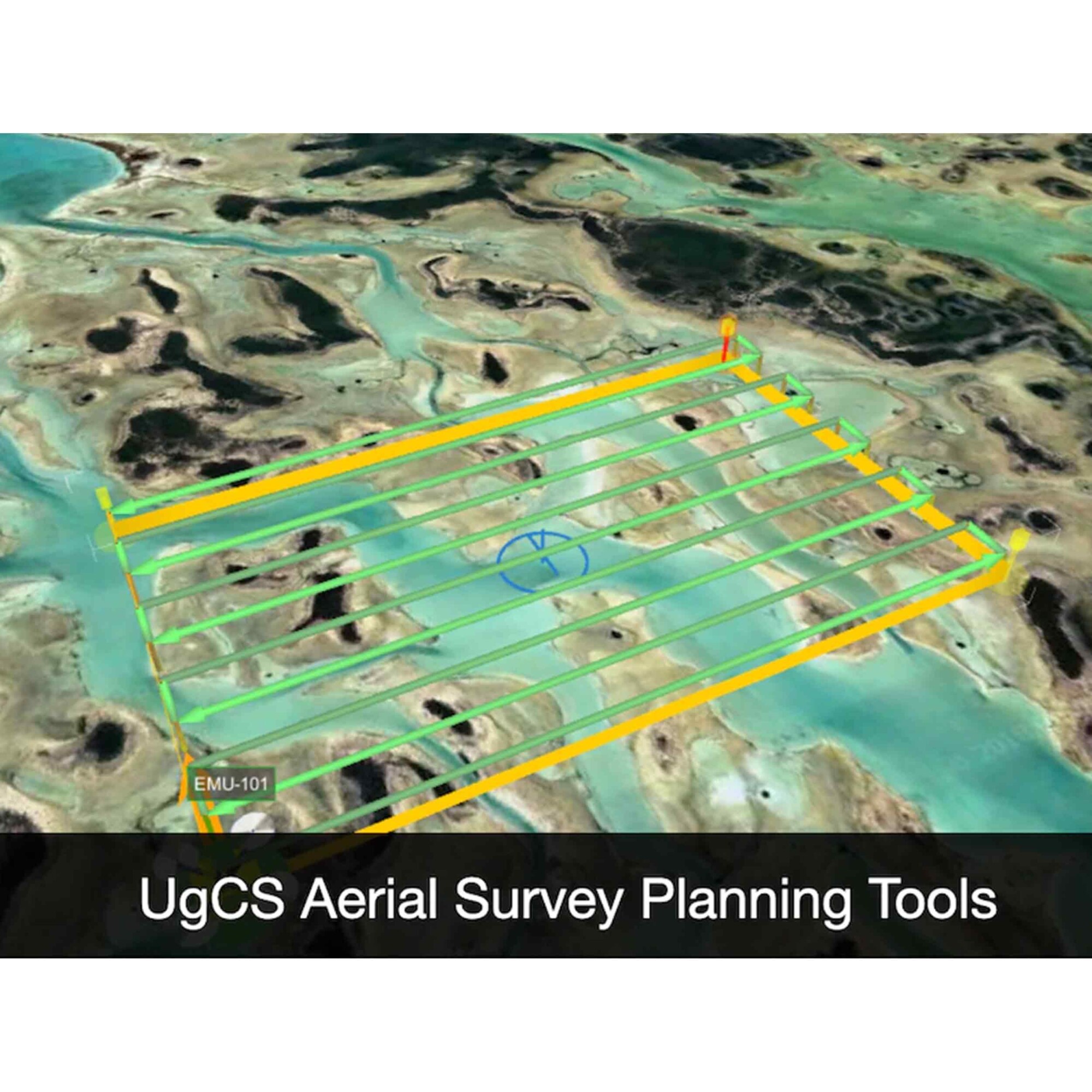
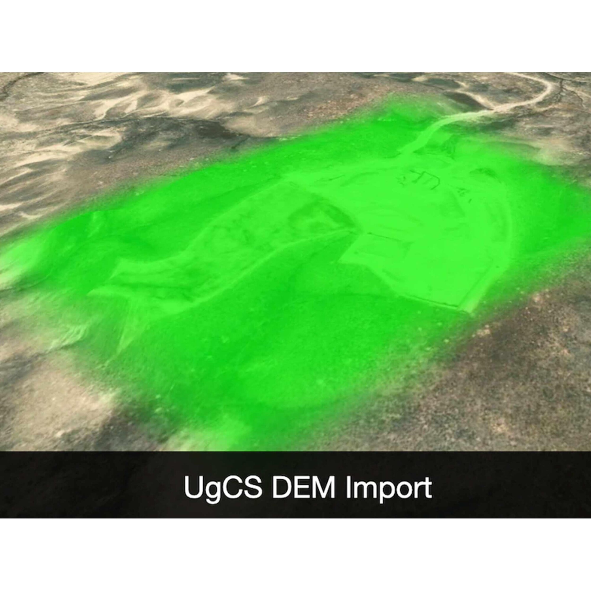
UgCS Expert Perpetual
Call for PriceQuick View -

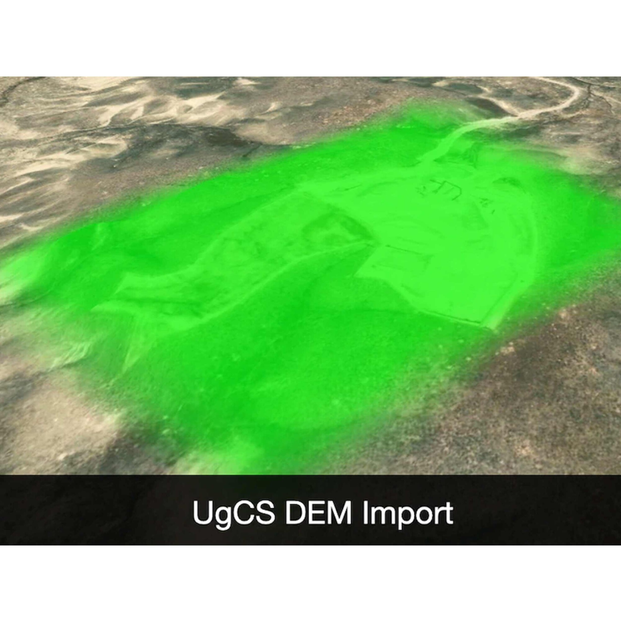
UgCS Pro Perpetual
Call for Price

 Quick View
-

UL633N Laser w/ RC603N Remote; 2 x HL760 Receiver w/ Clamp; SF601; NIMH and Universal Charger
Call for Price


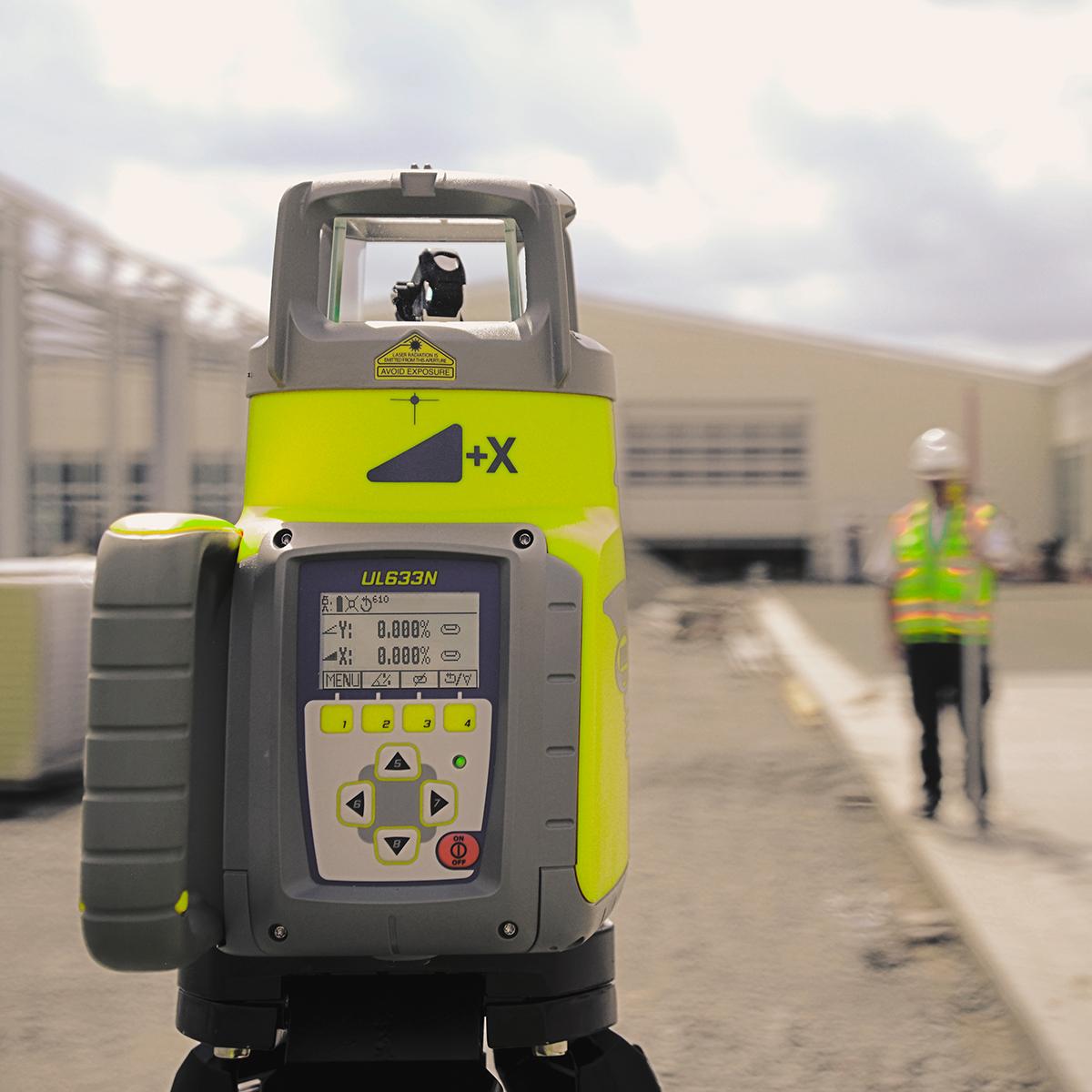
UL633N Laser w/ RC603N Remote; 2 x HL760 Receiver w/ Clamp; SF601; NIMH and Universal Charger
Call for PriceQuick View -
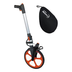
DuraWheel Measuring Wheel ft/10ths
Call for Price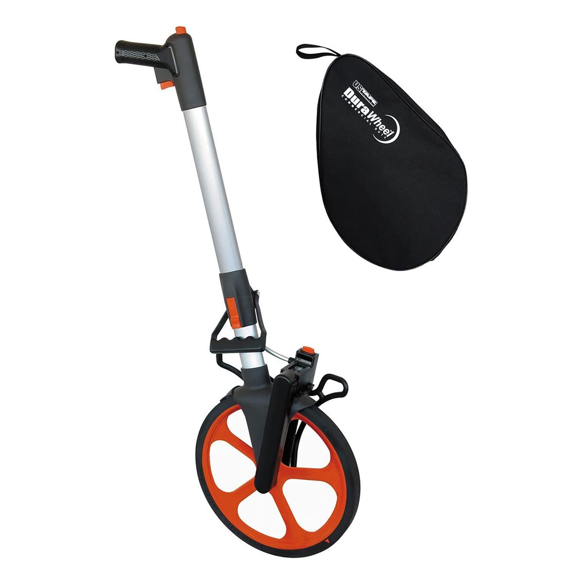
DuraWheel Measuring Wheel ft/10ths
Call for PriceQuick View -

Trimble X12 Kit with T10x Tablet
Call for Price

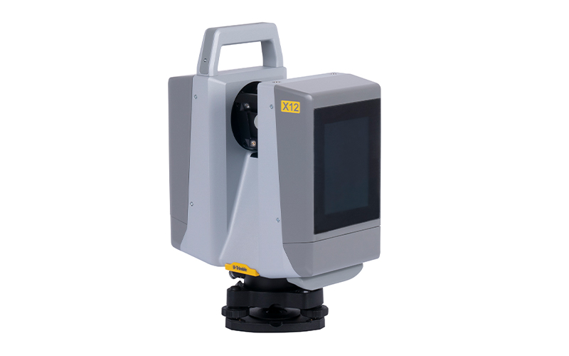

Trimble X12 Kit with T10x Tablet
Call for PriceONLY AVAILABLE FOR DELIVERY IN ND, SD, MN, CO, AK, MT, ID, HI, WY, OR, & WA.
Call 1-800-359-3703 for pricing and quote on configuration.
Quick View -

YellowScan Mapper+ (Version 3) YSM3+KIT Integrated System
Call for Price



YellowScan Mapper+ (Version 3) YSM3+KIT Integrated System
Call for PriceYellowScan Mapper+
Small & compact. Mighty & powerful.Advanced performance fitted into a compact survey solution. The YellowScan Mapper+ is an efficient 3 echoes, high-density LiDAR system for all mapping applications.
Quick View -

YellowScan Mapper (Version 3) YSM3KIT15 Integrated System
Call for Price


YellowScan Mapper (Version 3) YSM3KIT15 Integrated System
Call for PriceYellowScan Mapper
Jump into LiDAR revolution.Easy mapping redefined. Start your LiDAR journey with our easy-to-use Mapper system. Its low weight, mid-range capability, top-end point density, as well as advanced accuracy and precision, make this LiDAR system the best value for money.
Quick View -

Radiodetection RD8200SG Survey Grade Cable and Pipe Locator
Call for Price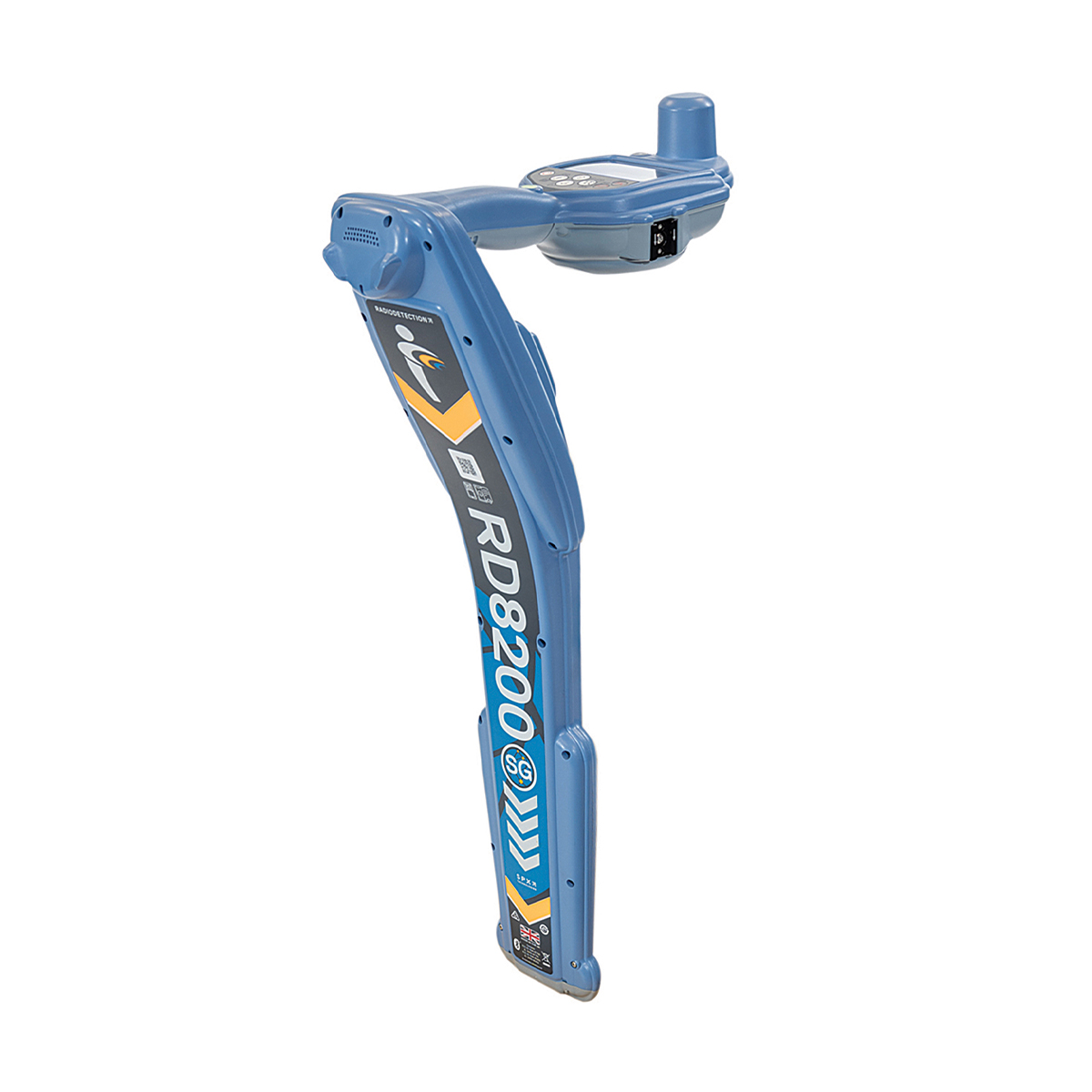

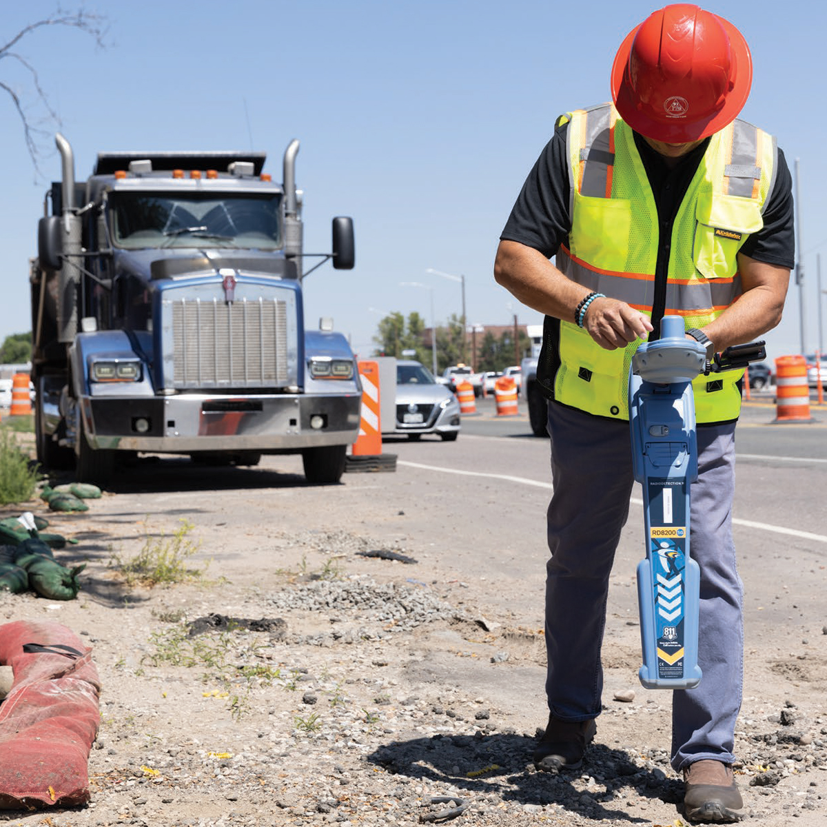


Radiodetection RD8200SG Survey Grade Cable and Pipe Locator
Call for PriceOnly available in WA, OR, ID, MT, WY, CO, HI, and AK.Precision Locator Range
Locate and Map Buried Utilities in a Single Operation
Radiodetection’s most advanced, combined mapping and locating solution.
Quick View -

Trimble MX60 Mobile Mapping System
Call for Price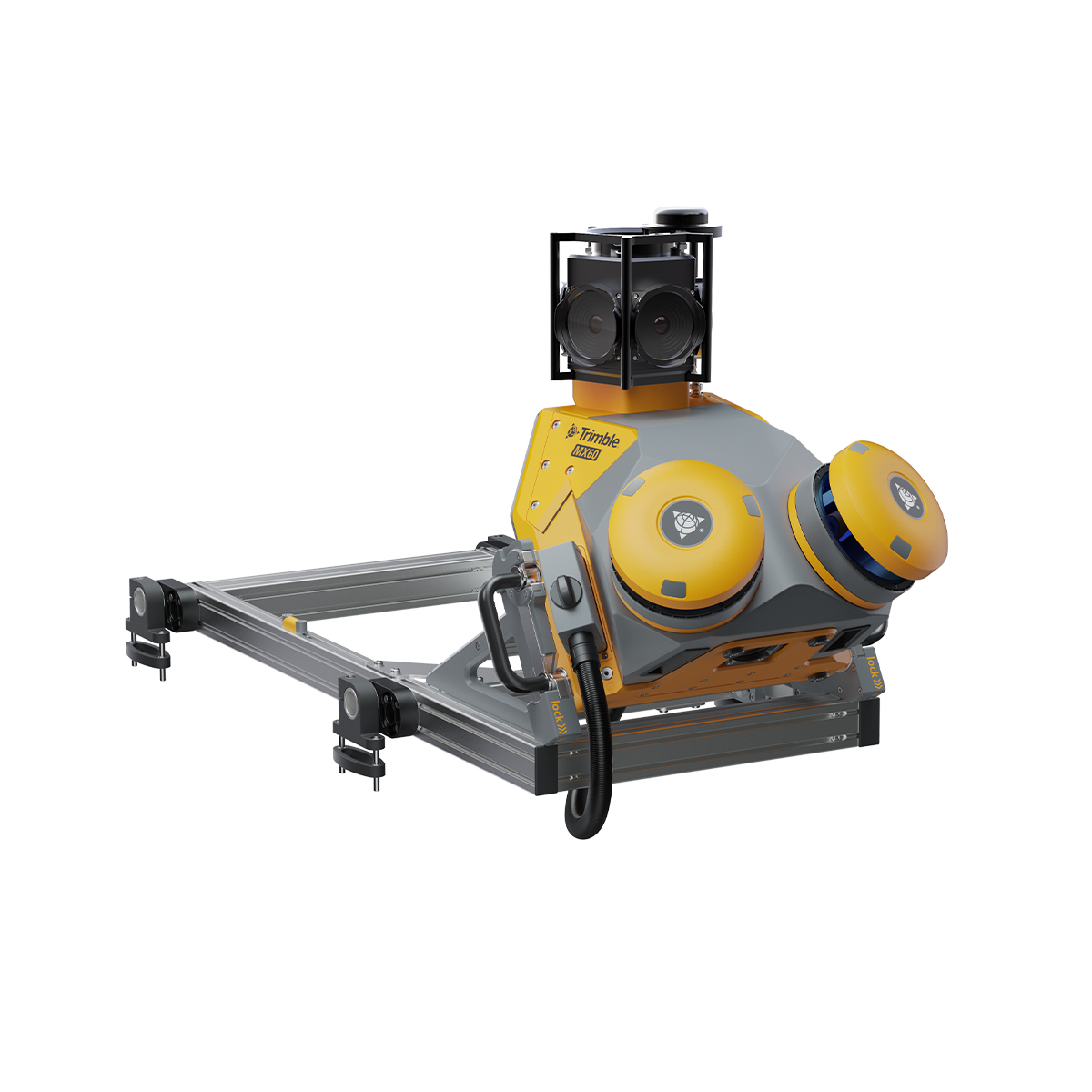

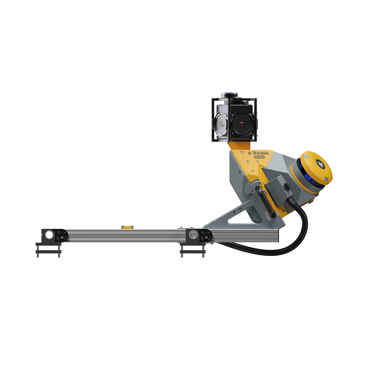
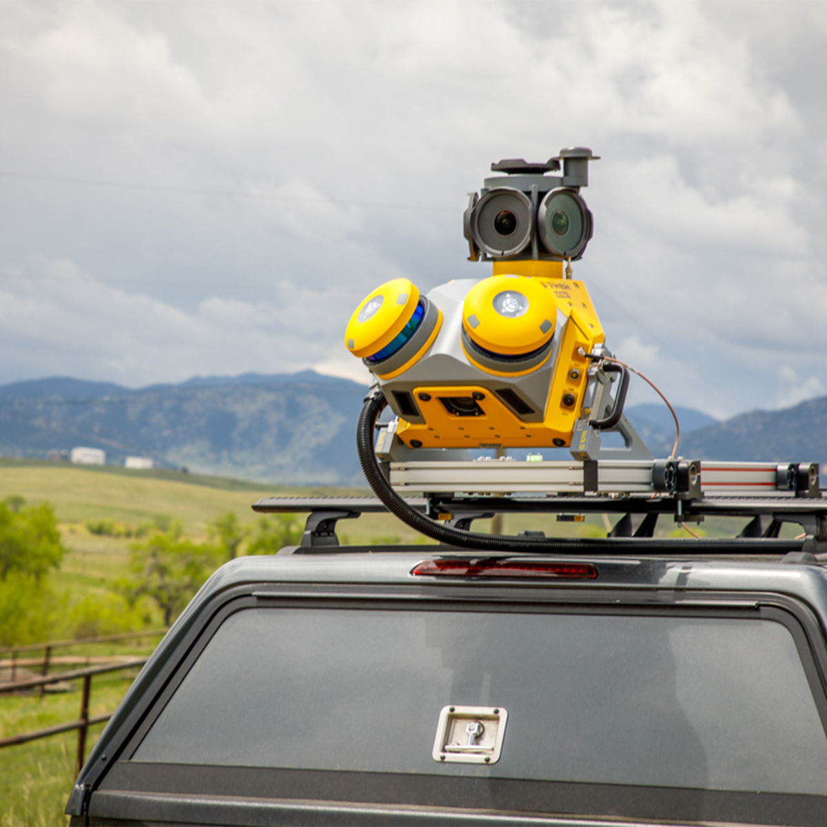
Trimble MX60 Mobile Mapping System
Call for PriceQuick View -

Live Cable Connector (LCC)
Call for Price
Live Cable Connector (LCC)
Call for PriceQuick View -

Live Plug Connector (LPC)
Call for Price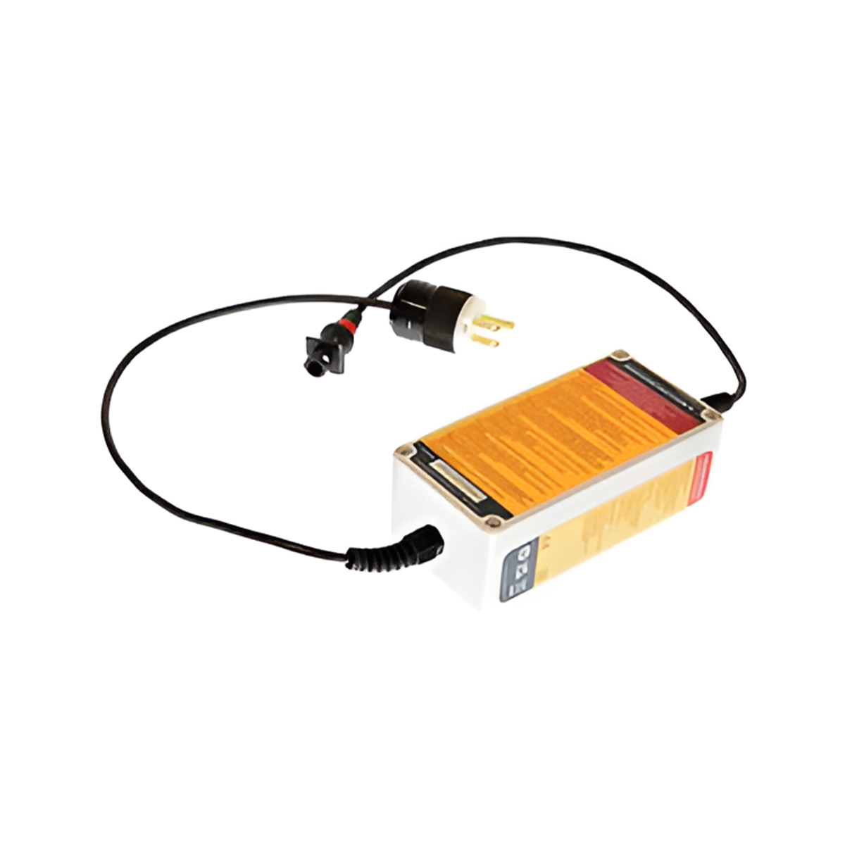
Live Plug Connector (LPC)
Call for PriceQuick View -

TCS5 Magnetic Pole Bracket
Call for Price

TCS5 Magnetic Pole Bracket
Call for PriceQuick View -

TSC7 Magnetic Pole Bracket
Call for Price
TSC7 Magnetic Pole Bracket
Call for PriceQuick View -
Female Base Large
Call for Price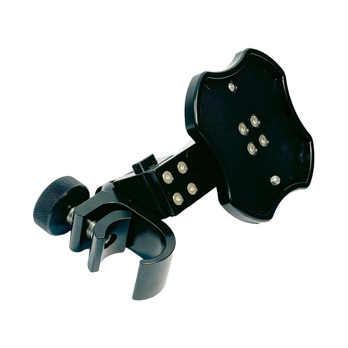
Female Base Large
Call for PriceQuick View -

TSC7 Controller Magnetic Attachment
Call for Price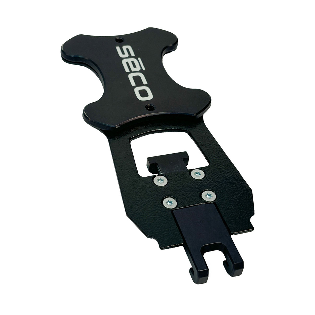
TSC7 Controller Magnetic Attachment
Call for PriceQuick View -
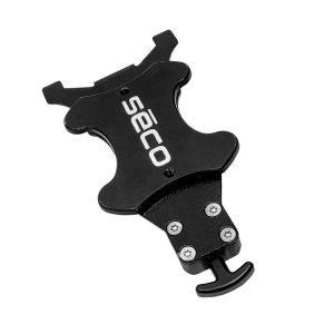
TSC5 Controller Magnetic Attachment
Call for Price
TSC5 Controller Magnetic Attachment
Call for PriceQuick View -

Used Trimble SX10 1” Scanning Total Station
Call for Price
Used Trimble SX10 1” Scanning Total Station
Call for PriceThe Trimble® SX10 scanning total station redefines the capabilities of everyday survey equipment by providing the world’s most innovative solution for surveying, engineering, and scanning professionals.
Quick View -

Used Trimble S6 3” Robotic Total Station
Call for Price
Used Trimble S6 3” Robotic Total Station
Call for PriceThe Trimble® S6 Robotic Total Station provides the power and flexibility required by today’s Surveying Professionals. With the industry’s most advanced technology and available feature set, the Trimble S6 Robotic Total Station will meet the changing needs of your business, allowing your investment to go further.
Quick View