


ACCESSORIES
PARTS AND OTHER TOOLS FOR THE WORLD-CLASS EQUIPMENT SOLD & SUPPORTED BY FRONTIER PRECISION
Showing 621–640 of 674 results
-
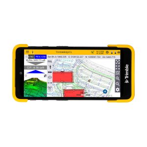
Trimble TDC601 TDC6 Handheld Data Collector
Call for Price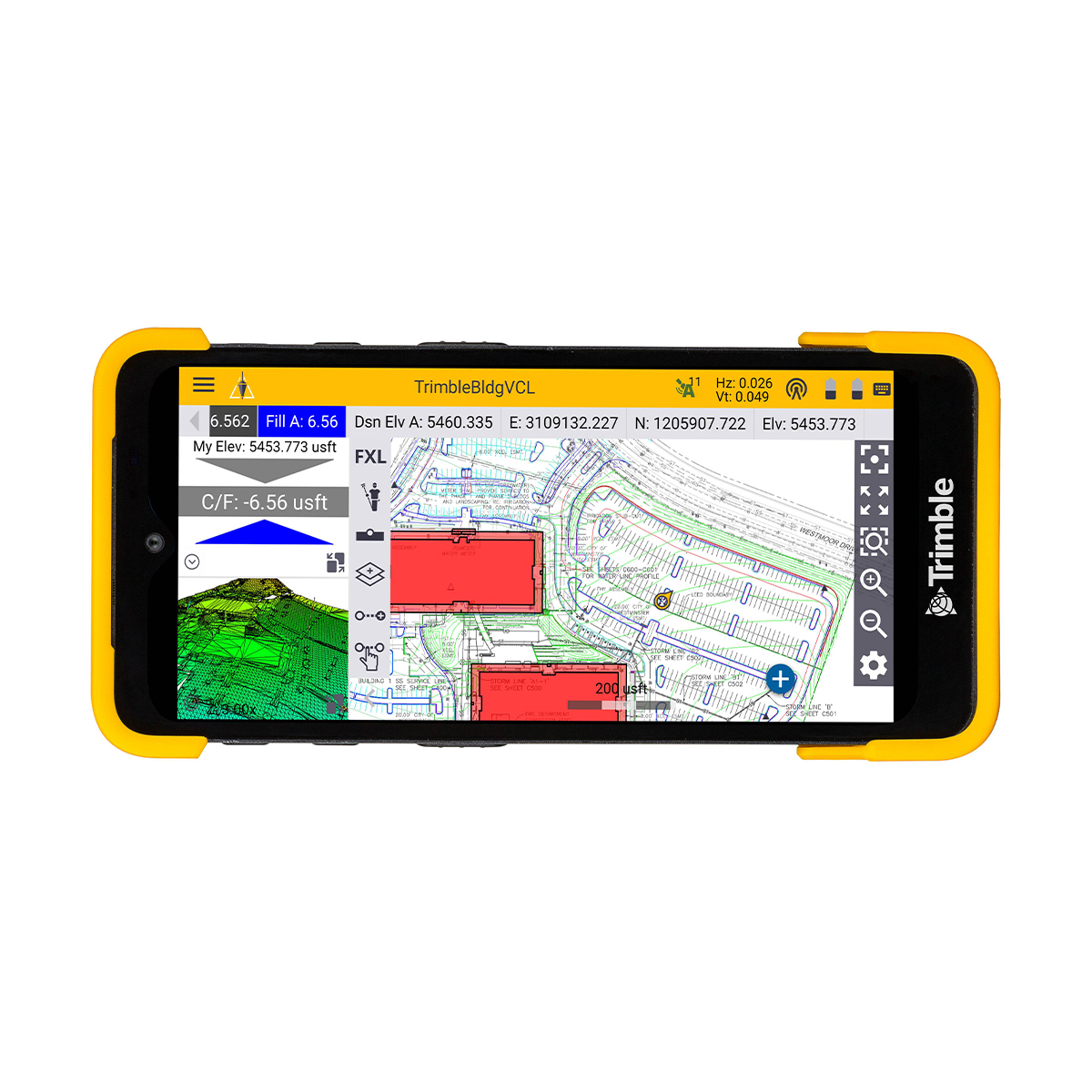
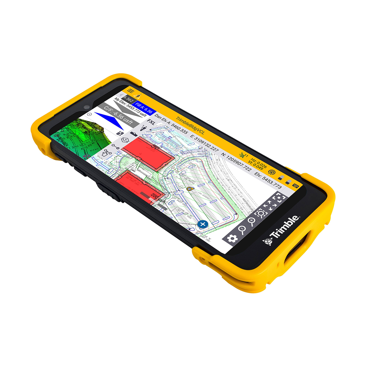


Trimble TDC601 TDC6 Handheld Data Collector
Call for PriceONLY AVAILABLE FOR DELIVERY IN ALASKA.
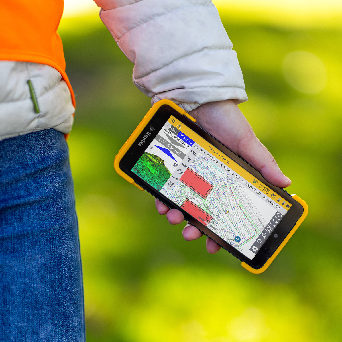
Trimble TDC601 TDC6 Handheld Data Collector
Tough, Cost-effective and Connected Compact Field Computer
The Trimble® TDC6 Handheld Data Collector is a lightweight, rugged controller for GNSS operations. The easy-to-use TDC6 allows contractors to work with complex 3D data sets more effectively in the field, connect to the office for on-the-spot approvals and communicate changes to field crews. The TDC6 is a high-performing data controller that offers a cost-effective solution to connect a larger number of operators and enhance field communications.Quick View -
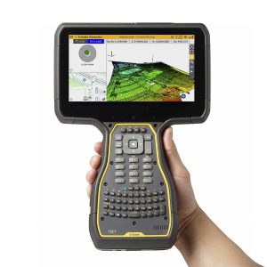
Trimble TSC703 TSC7 Controller
Call for Price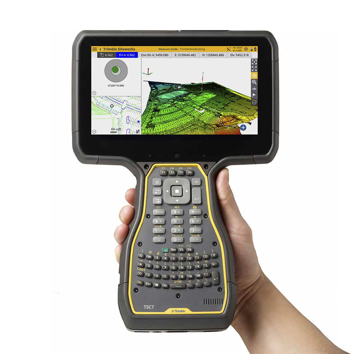
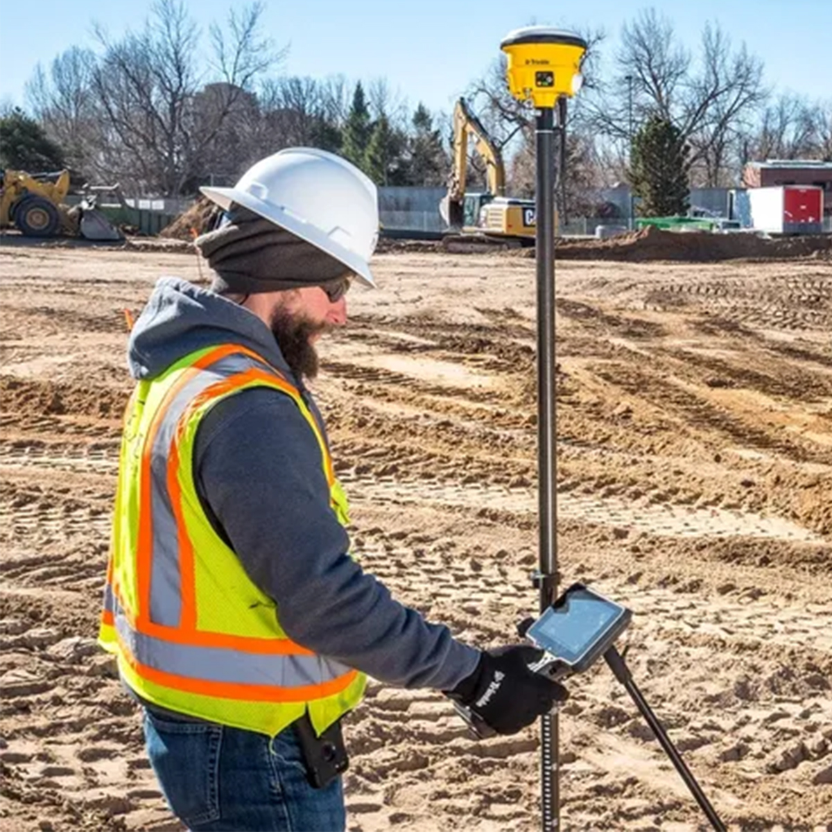
Trimble TSC703 TSC7 Controller
Call for PriceONLY AVAILABLE FOR DELIVERY IN ALASKA.
Trimble TSC703 TSC7 Controller
Built for the Construction Site
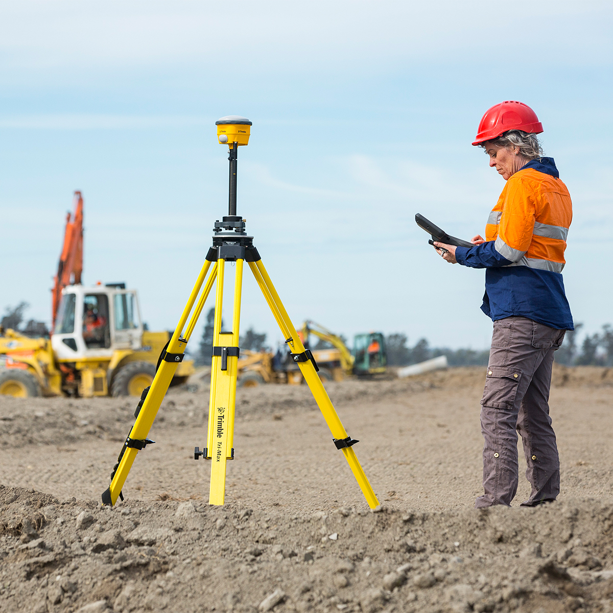
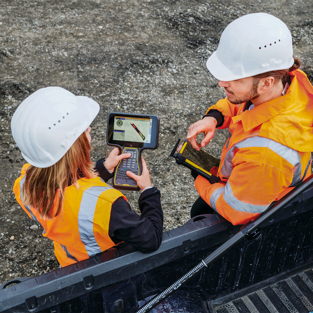
The Trimble TSC7 Controller is a wirelessly connected, rugged handheld controller for GNSS or total station operations. It gives construction surveyors, grade checkers, and site engineers total control over their on-site tasks. Designed for construction site operations, the TSC7 offers integrated Wi-Fi and Bluetooth, built-in cameras, and GPS in a lightweight, shock, dust and water resistant package.Quick View -
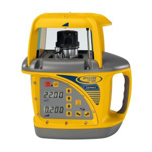
Spectra Precision GL720 Dual Grade Laser
Call for Price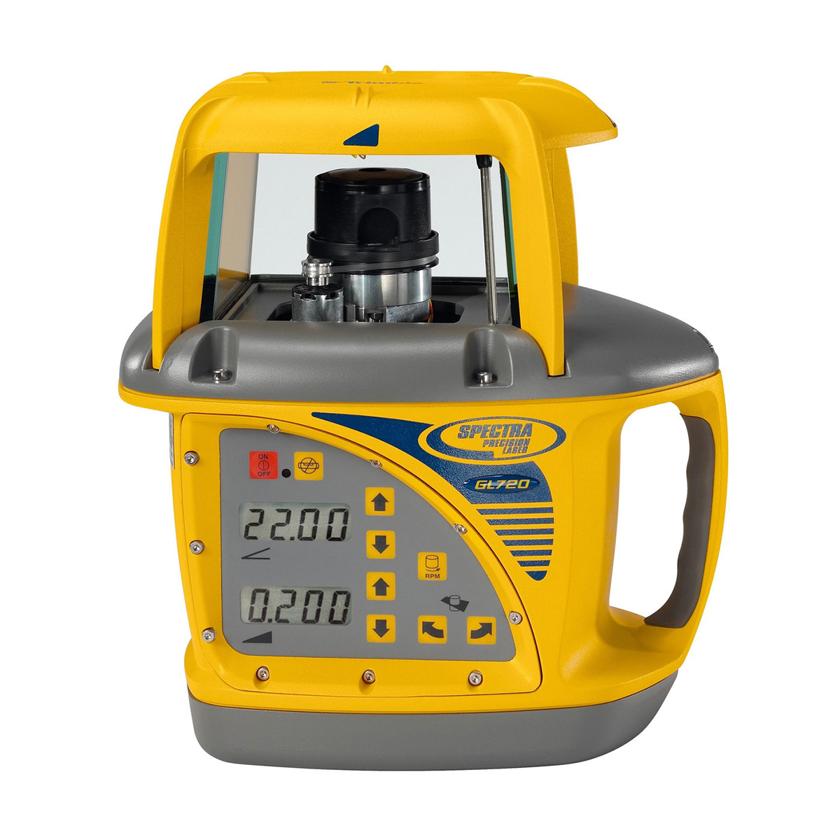
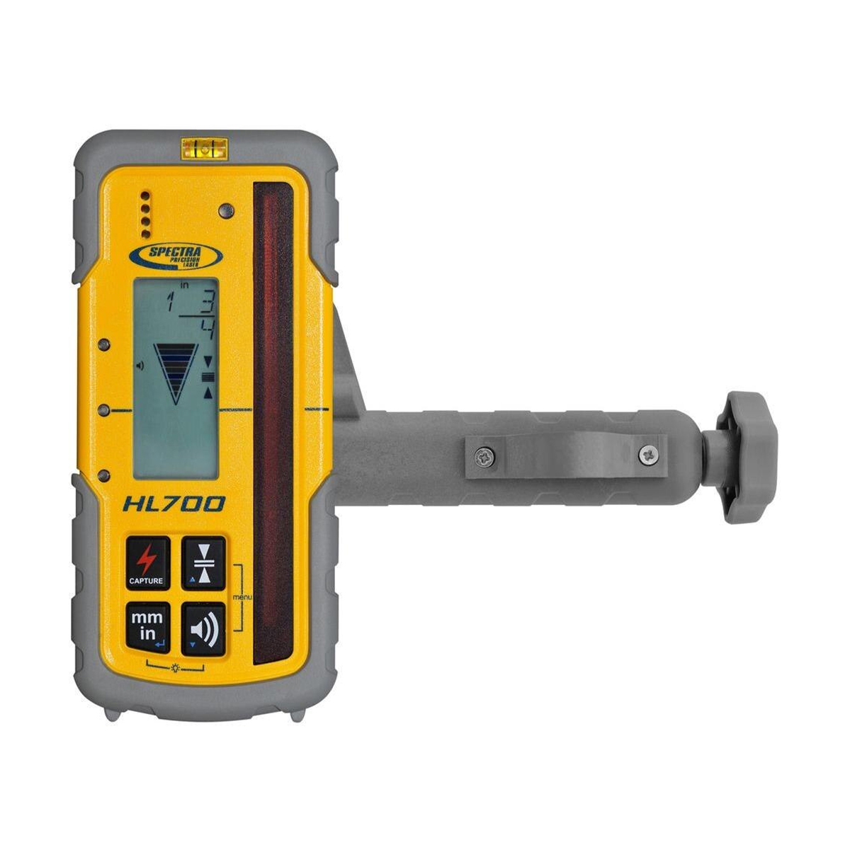

Spectra Precision GL720 Dual Grade Laser
Call for PriceSpectra Precision GL720 Dual Grade Laser
The GL720 features +/- 10% in the X axis grade range and -0.5 to +25% Y-axis grade range with high accuracy up to 3,000 foot (900 meter) diameter. The GL720 is ideal for general construction and machine control grade applications.
Quick View -
Trimble Siteworks
Call for Price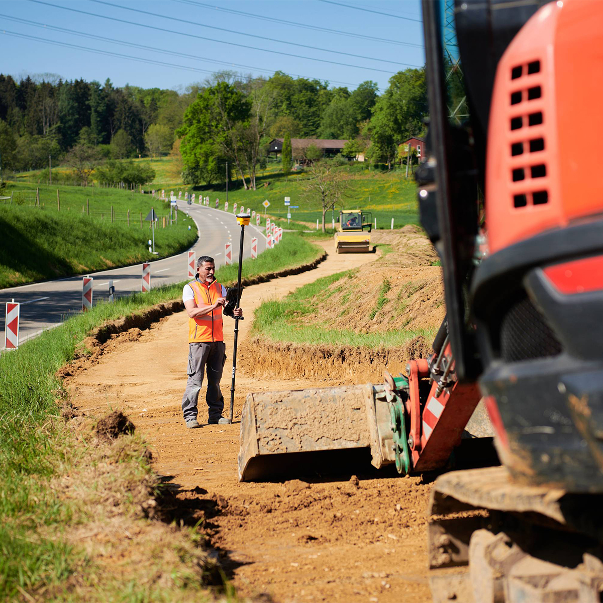

Trimble Siteworks
Call for PriceONLY AVAILABLE FOR DELIVERY IN ALASKA.
Trimble Siteworks
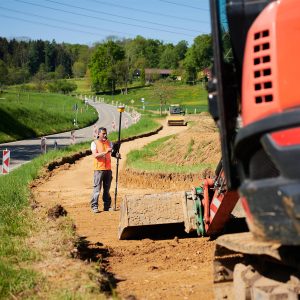
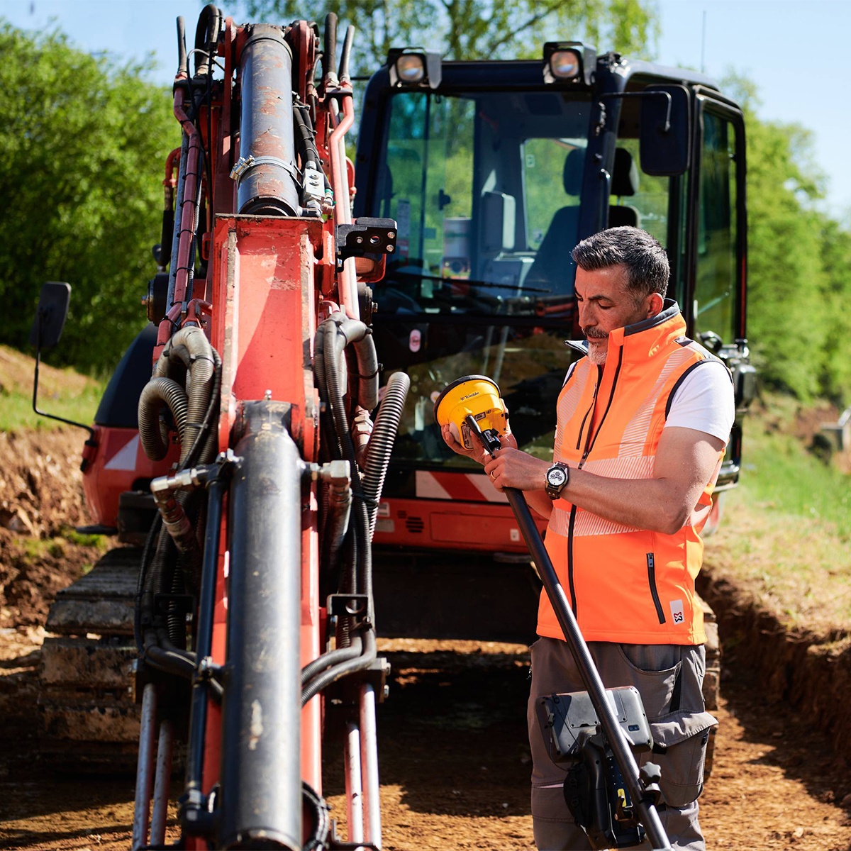
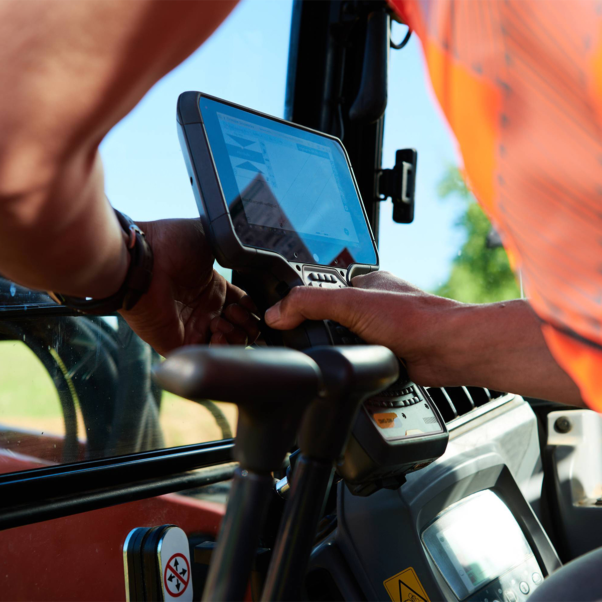
Siteworks Positioning Systems
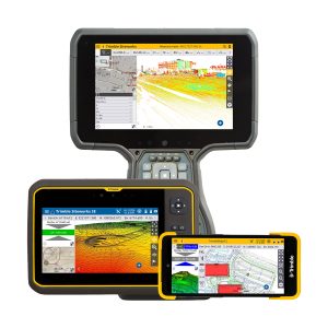
Trimble Siteworks Positioning Systems are designed to eliminate downtime by making every minute more productive. Handle complex files and 3D data sets quickly, so you can spot issues and solve problems before they slow you down.Quick View -
Trimble Siteworks Field Software
Call for Price
Trimble Siteworks Field Software
Call for PriceONLY AVAILABLE FOR DELIVERY IN ALASKA.
Trimble Siteworks Field Software
Software for Construction Surveying | More Productive and Precise Positioning
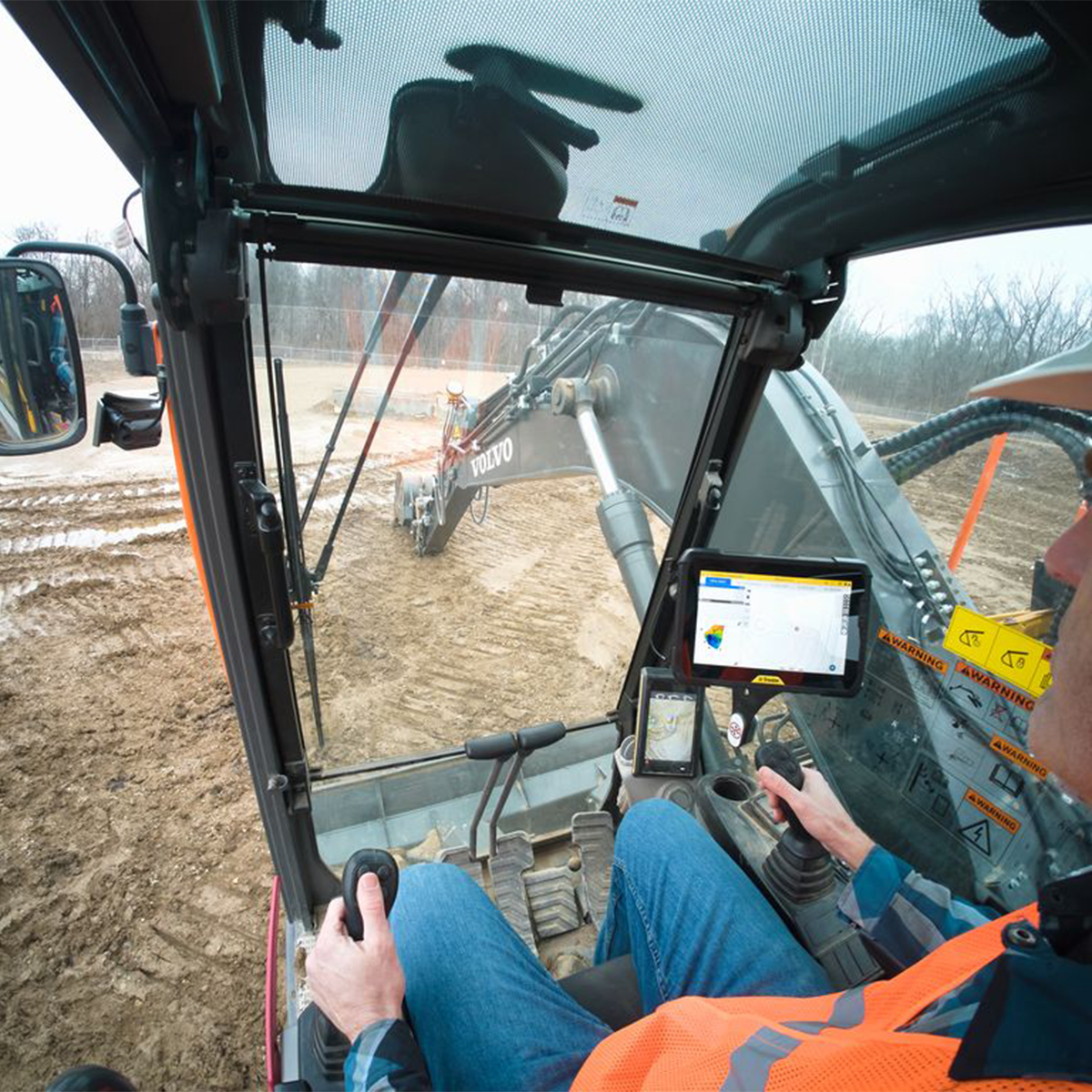
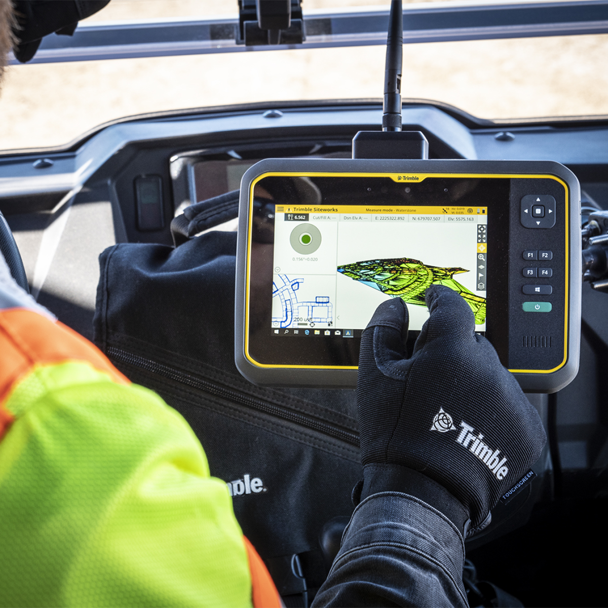
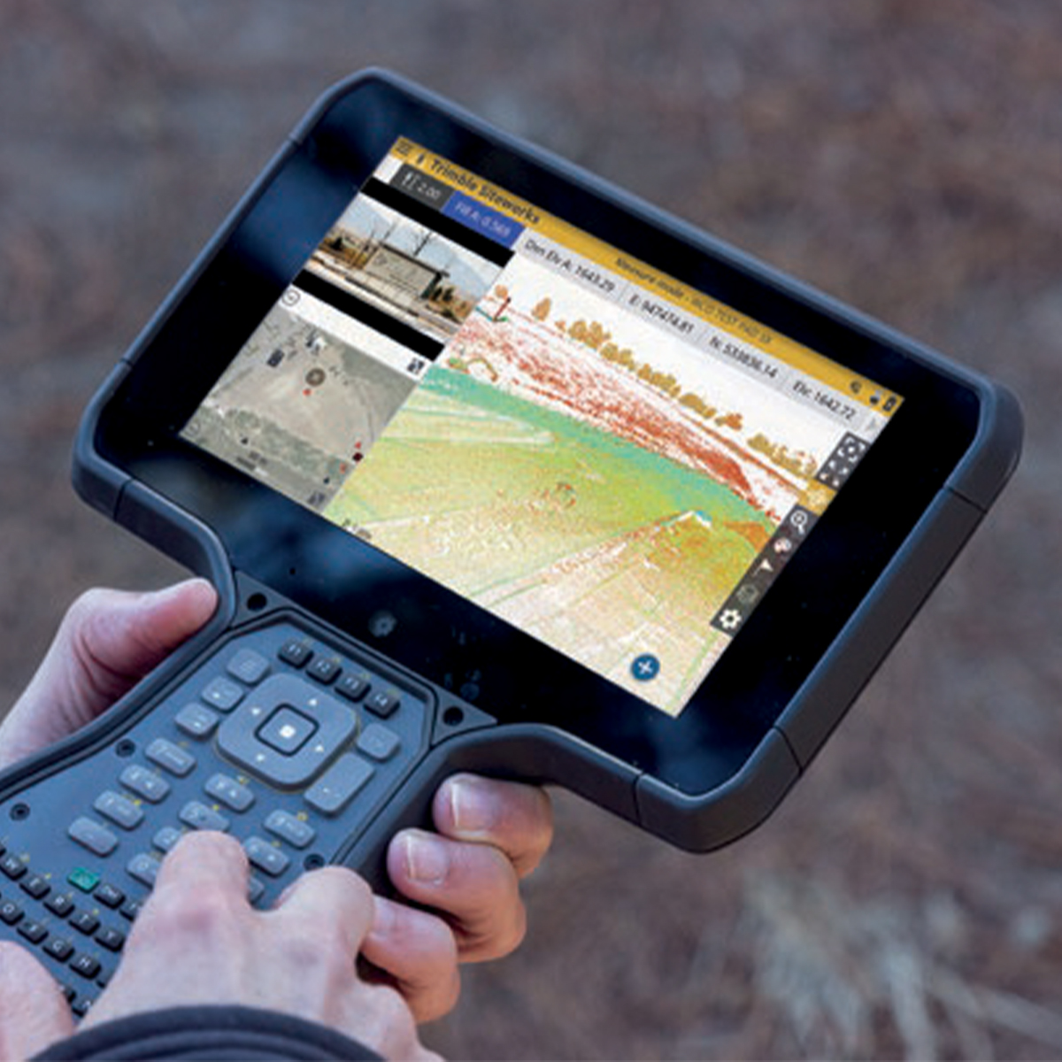
Trimble® Siteworks Software is easy‑to‑use field software that enables grade checkers, site engineers, site surveyors, supervisors and foremen to do their jobs more efficiently by taking the constructible model into the field. From initial site reconnaissance to finished as‑built collection, Siteworks offers an efficient way to collect and distribute site measurements, perform stake out tasks, manage multiple work orders and job sites, monitor progress, and report the results.
Quick View -

Trimble SiteVision Field Software
Call for Price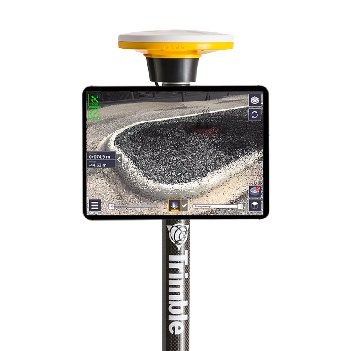
Trimble SiteVision Field Software
Call for PriceONLY AVAILABLE FOR DELIVERY IN ND, SD, MN, CO, AK, MT, ID, HI, WY, OR, & WA.
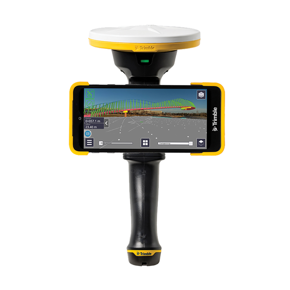
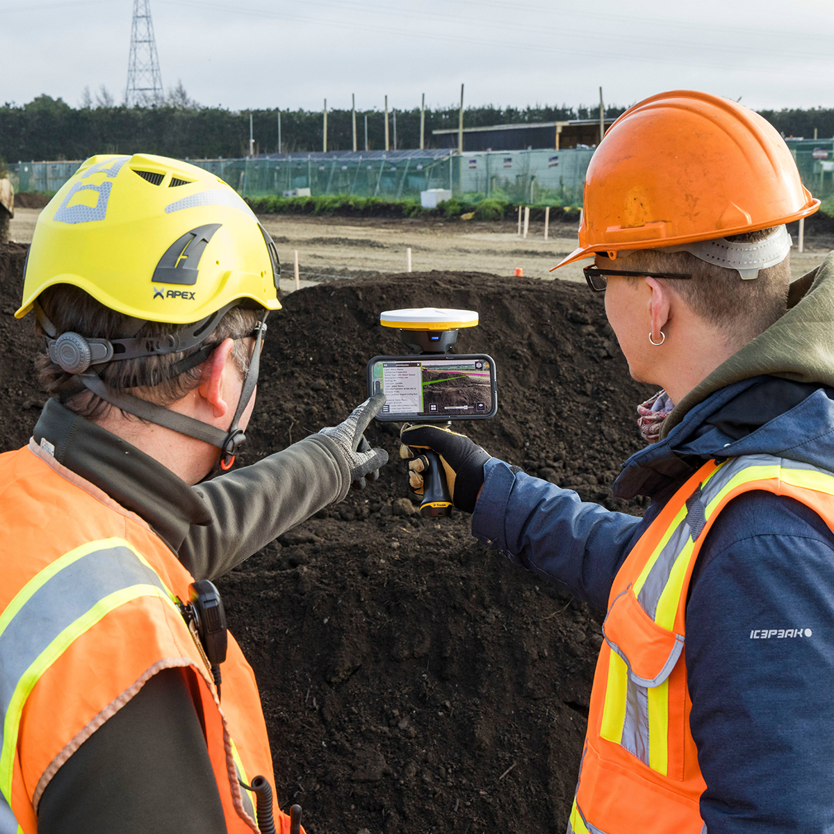
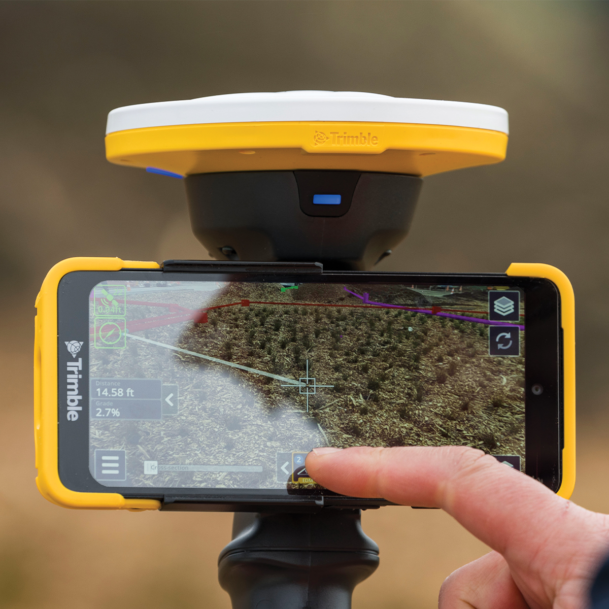
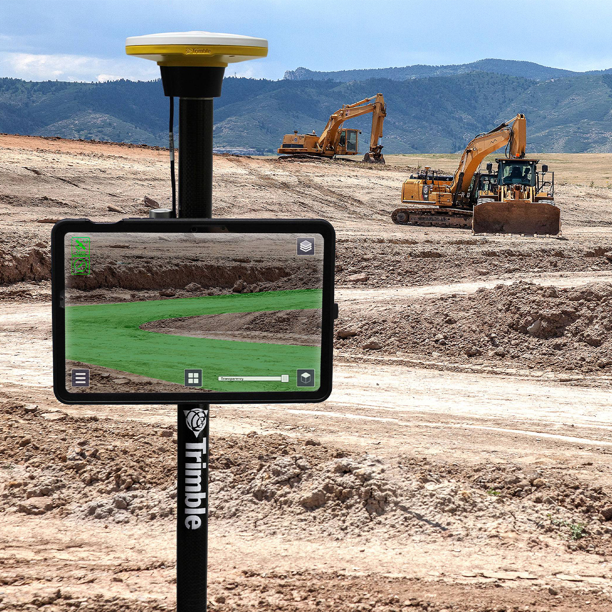
Trimble SiteVision Field Software | Augmented Reality System
Visualize Data in the Field
Trimble® SiteVision® Software brings spatial data to life in real-world environments so you can easily visualize, explore and understand complex designs — right on your own mobile device. With centimeter-level accuracy, this user-friendly tool provides reliable visuals that are stable and smooth. SiteVision plays a key role in all stages of the construction life cycle: planning and initial visualization, checking progress, and preventing issues to reduce cost and increase efficiency.Quick View -
Trimble WorksOS Office Software
Call for Price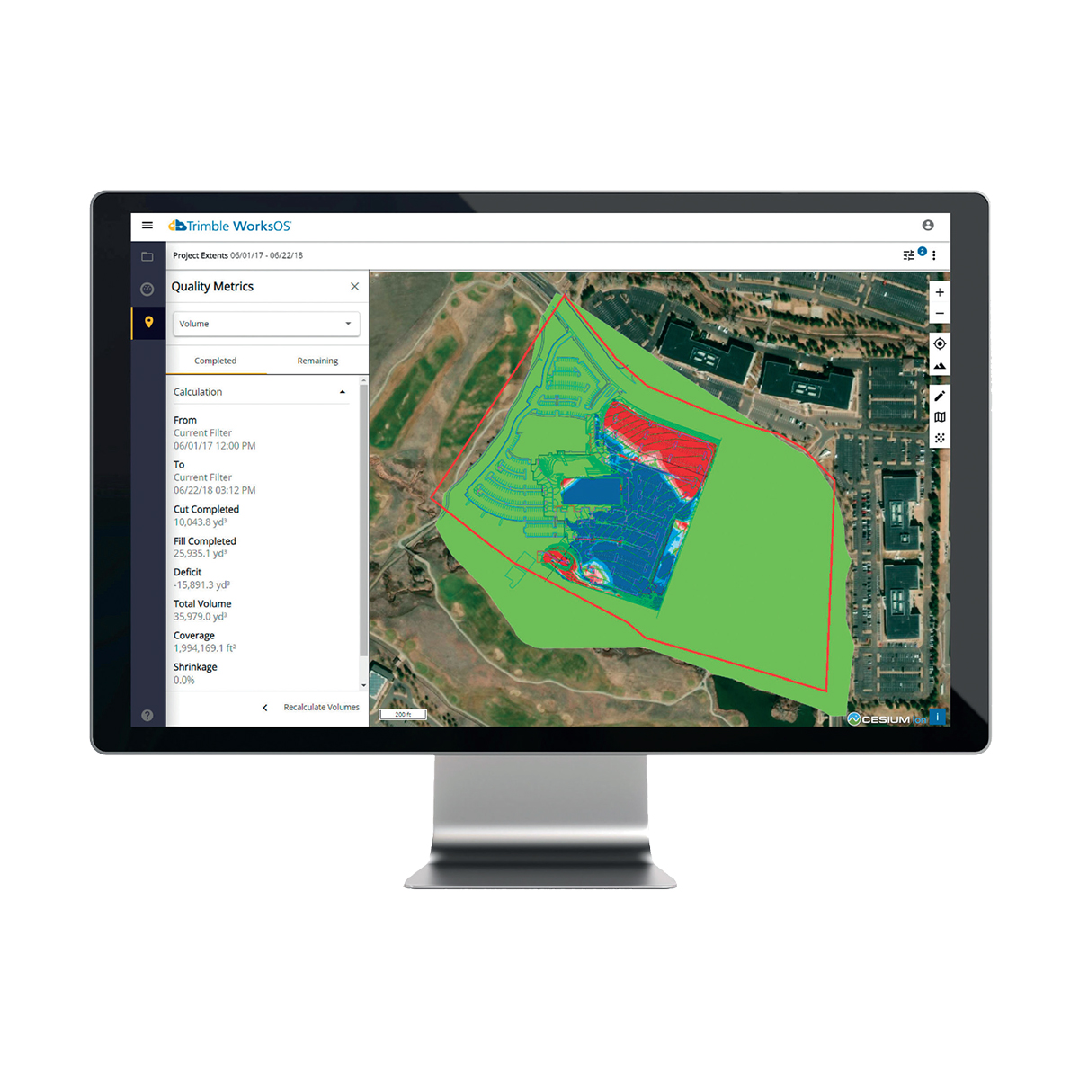

Trimble WorksOS Office Software
Call for PriceONLY AVAILABLE FOR DELIVERY IN ALASKA.
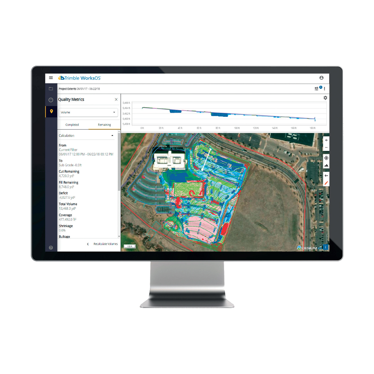
Trimble WorksOS Office Software | Jobsite Progress Monitoring Software
Monitor Jobsite Activity and Progress-to-plan
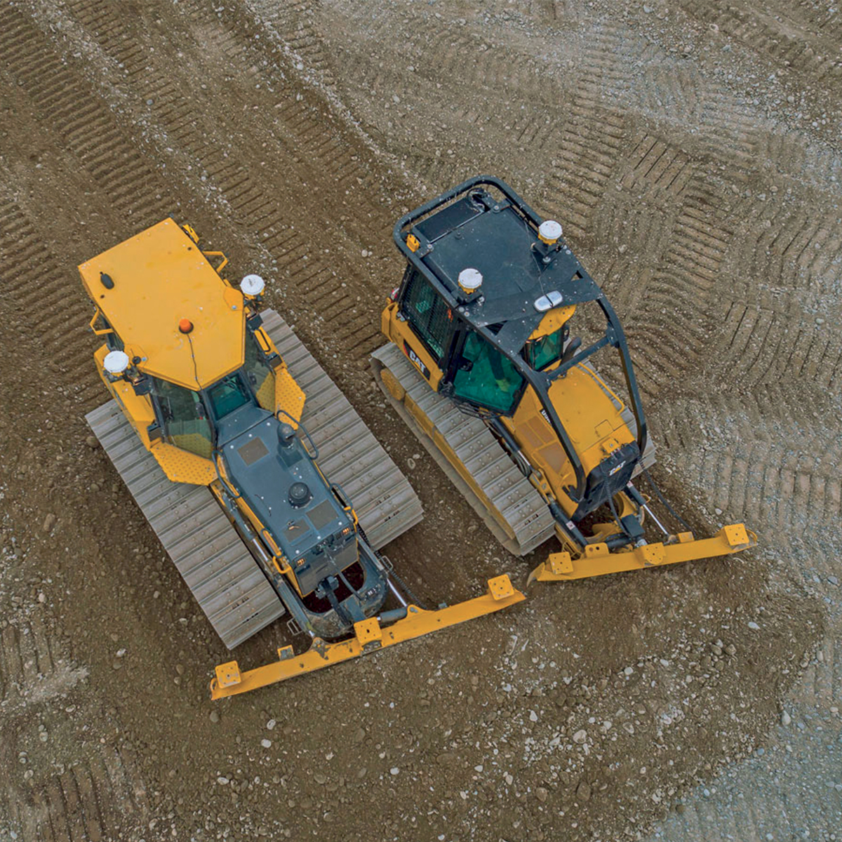
Trimble® WorksOS software collects information straight from your machines, giving site supervisors and project managers real-time visibility into civil construction jobsite progress and project status. This insight empowers better decision-making and enables you to make proactive adjustments to stay on budget and on schedule. The software’s intuitive interface makes it easy to create and configure activities. Monitor jobsite metrics without needing to understand or set up complex filter settings. Remotely push design updates to machines direct from the office, reducing unnecessary site visits and machine idling.Quick View -
Trimble WorksManager Office Software for Construction
Call for Price


Trimble WorksManager Office Software for Construction
Call for PriceONLY AVAILABLE FOR DELIVERY IN ALASKA.
Trimble WorksManager Office Software for Construction
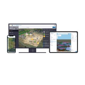
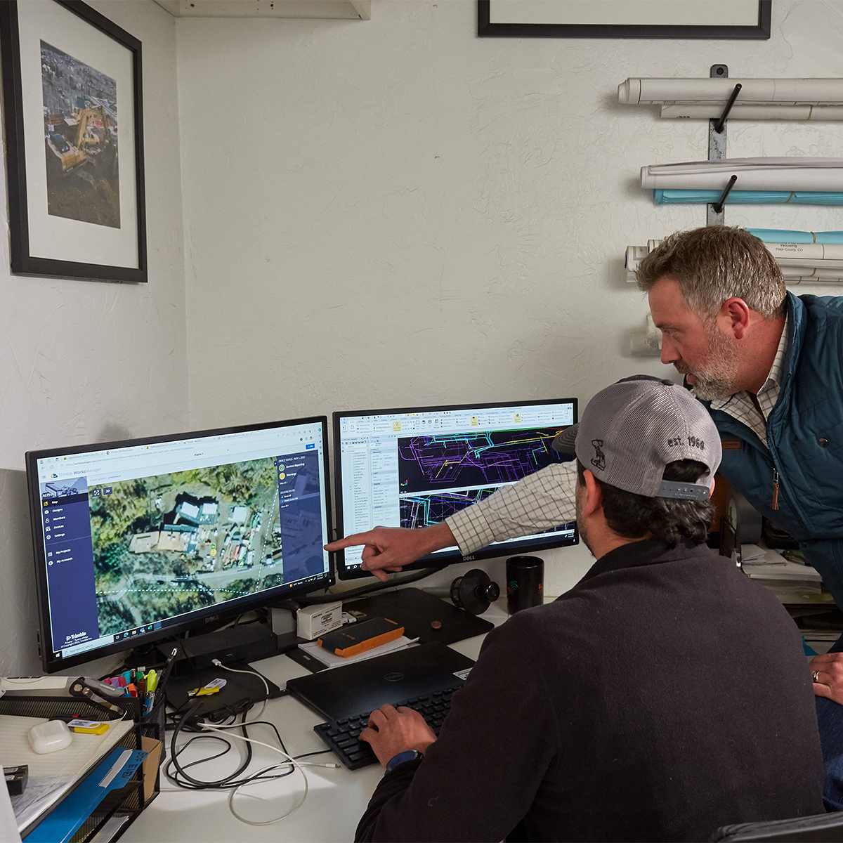
Trimble® WorksManager is a mobile-friendly site-management software that keeps machine operators and survey crews connected to the information they need to get the job done right the first time. Easily transfer data to the jobsite without leaving the office, reducing delays and minimizing downtime.
Quick View -

Trimble Roadworks Paving Control Platform for Asphalt Pavers
Call for Price
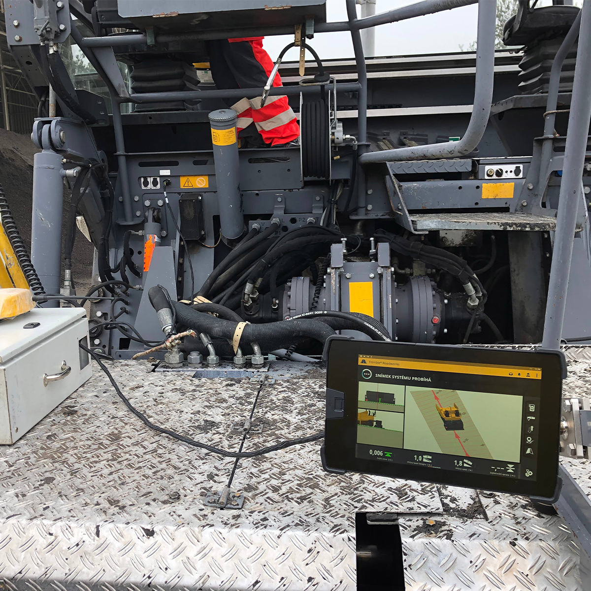
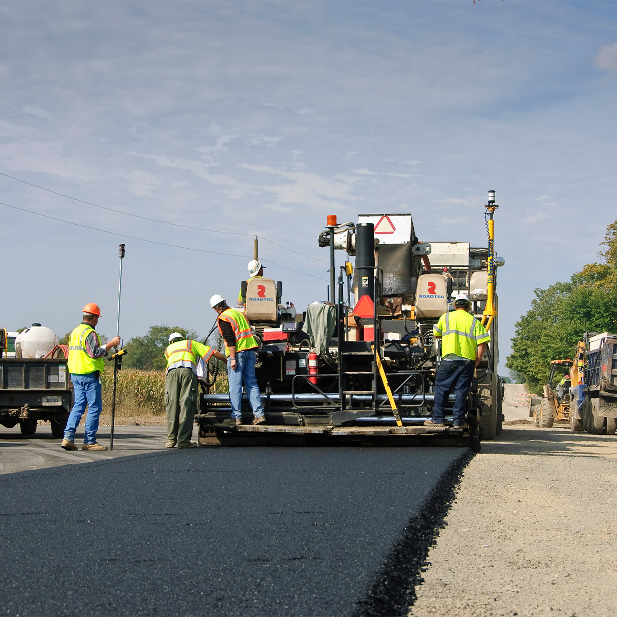
Trimble Roadworks Paving Control Platform for Asphalt Pavers
Call for PriceONLY AVAILABLE FOR DELIVERY IN ALASKA.
Trimble Roadworks Paving Control Platform for Asphalt Pavers
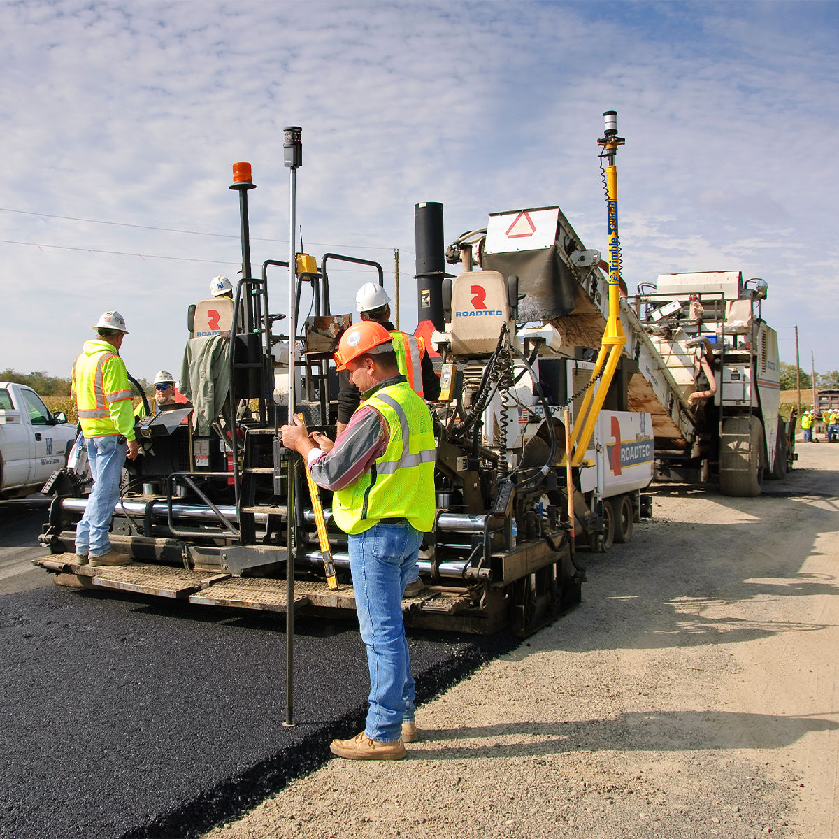
The Trimble® Roadworks Paving Control Platform for Asphalt Pavers is designed to help you do more in less time. Our innovative, next-generation paving control platform features intuitive, easy-to-learn software that runs on an Android™ operating system. State-of-the-art software and hardware give operators of all skill levels the ability to work faster and more productively than ever before.
Quick View -

Trimble Roadworks Paving Control Platform for Asphalt Compactors
Call for Price

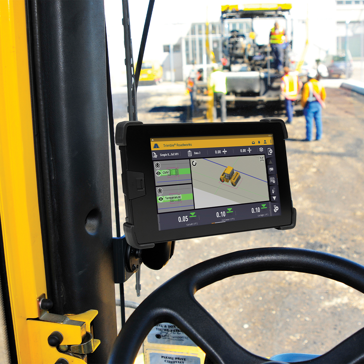

Trimble Roadworks Paving Control Platform for Asphalt Compactors
Call for PriceONLY AVAILABLE FOR DELIVERY IN ALASKA.
Trimble Roadworks Paving Control Platform for Asphalt Compactors
Trimble® Roadworks Paving Control Platform for Asphalt Compactors is the next generation 3D paving control system designed to help operators of all levels improve the speed, accuracy and ease of asphalt compaction.
Quick View -

Trimble Roadworks Paving Control Platform for Mills and Cold Planers
Call for Price

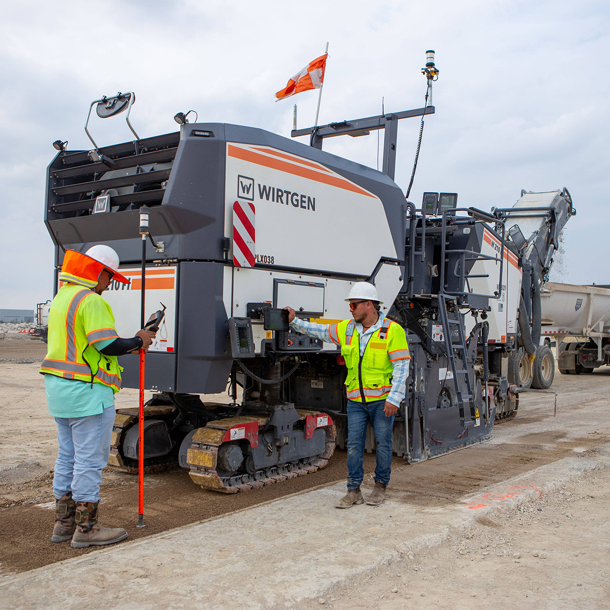
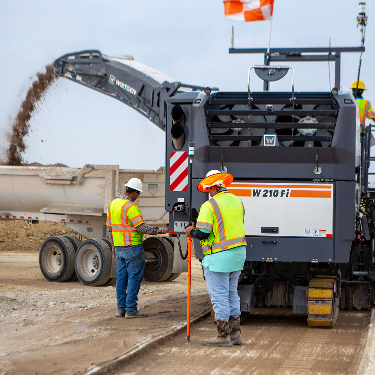
Trimble Roadworks Paving Control Platform for Mills and Cold Planers
Call for PriceONLY AVAILABLE FOR DELIVERY IN ALASKA.
Trimble Roadworks Paving Control Platform for Mills and Cold Planers
Trimble® Roadworks Paving Control Platform for Mills and Cold Planers is the next generation 3D paving control system designed to not only meet milling specifications, but exceed them.
Quick View -
Trimble Earthworks
Call for Price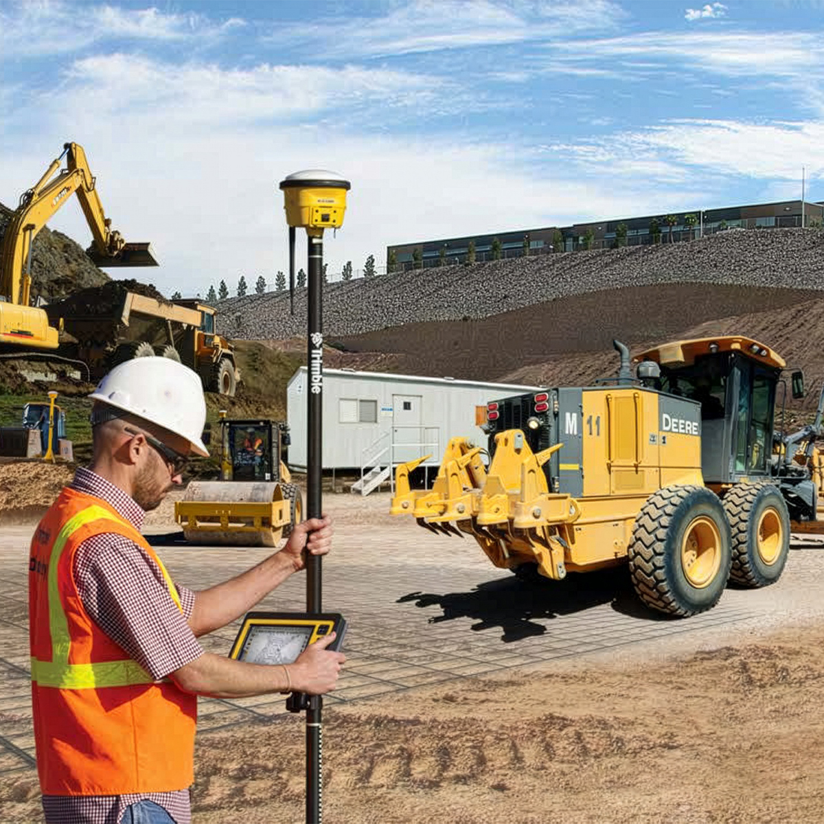



Trimble Earthworks
Call for PriceONLY AVAILABLE FOR DELIVERY IN ALASKA.
Trimble Earthworks
Trimble Earthworks is an advanced grade control platform designed to help you work smarter, faster, and more efficiently. Built on an intuitive Android-based interface, it’s easy to use and compatible with a wide range of tablets, including the proprietary Trimble TD520 touchscreen display. Earthworks integrates seamlessly across mixed construction and landscaping fleets, with fully customizable views and interfaces that adapt to your workflow.
Quick View -
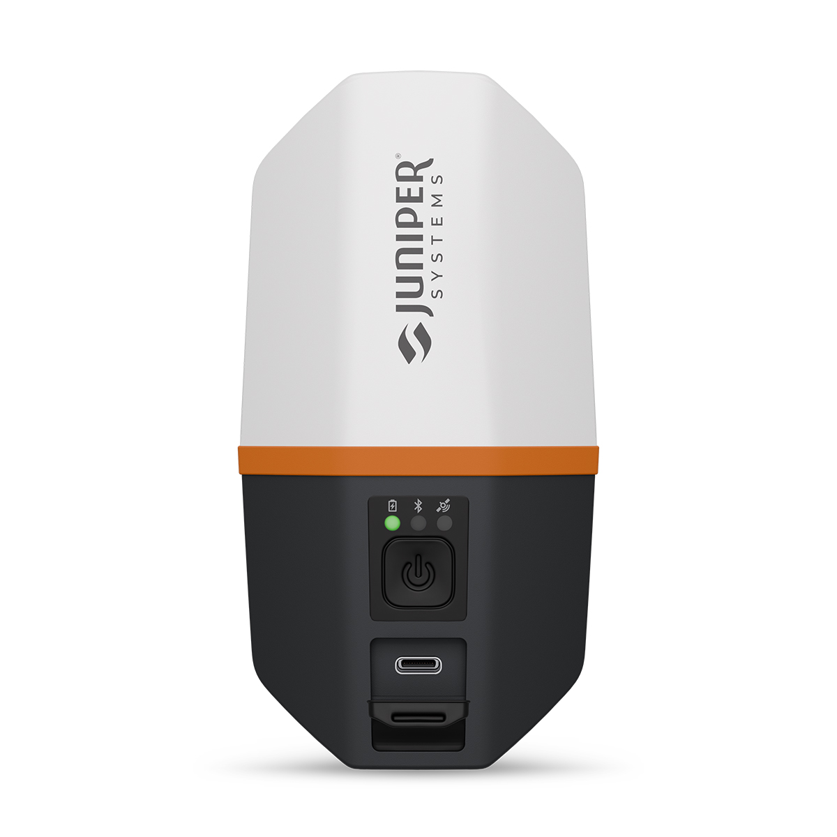
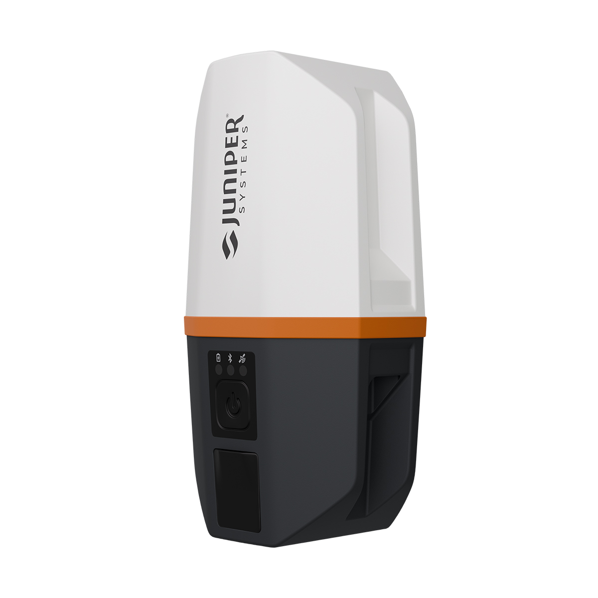
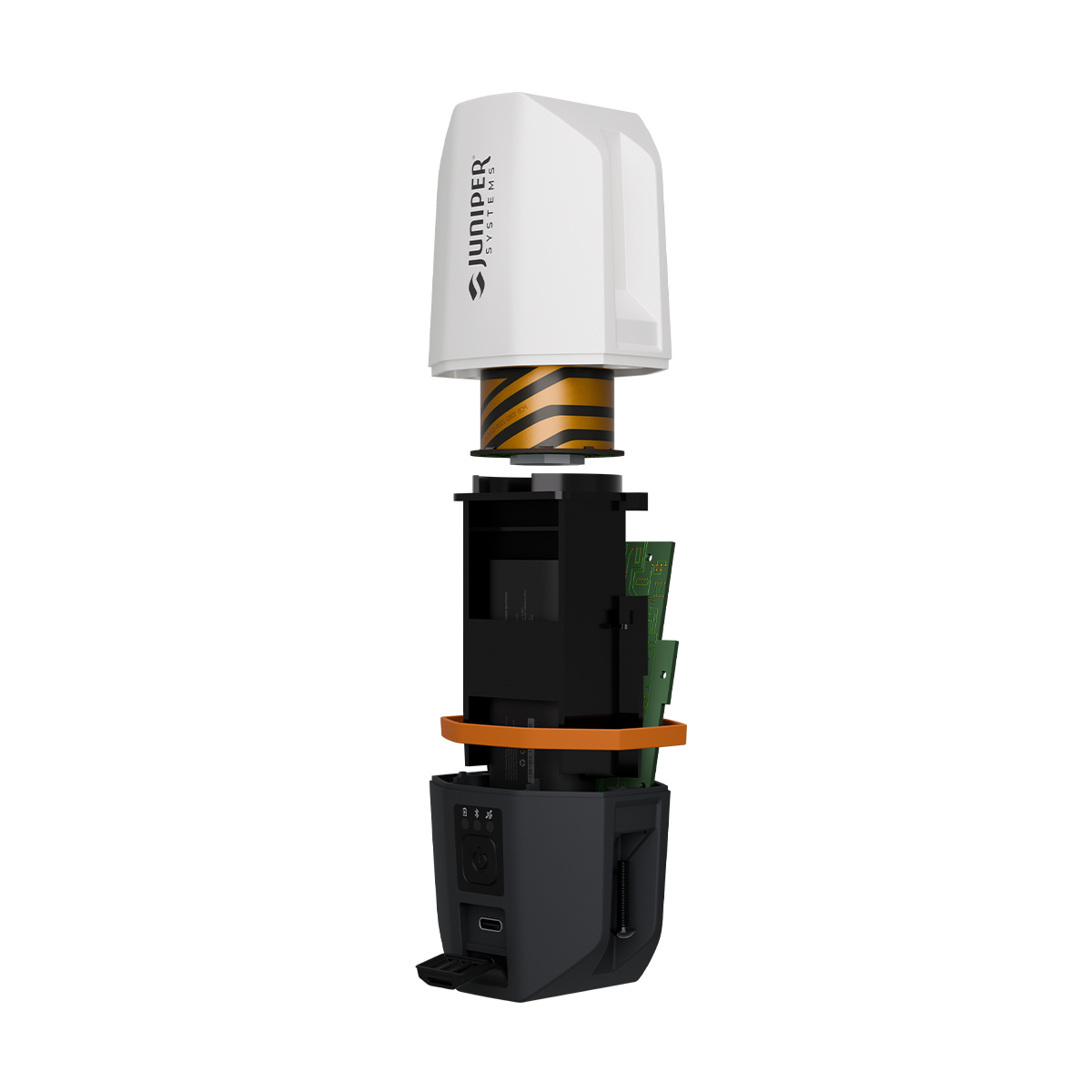
Juniper Systems Spire SP1-CFG(1457) Real-time Ready Receiver
Call for Price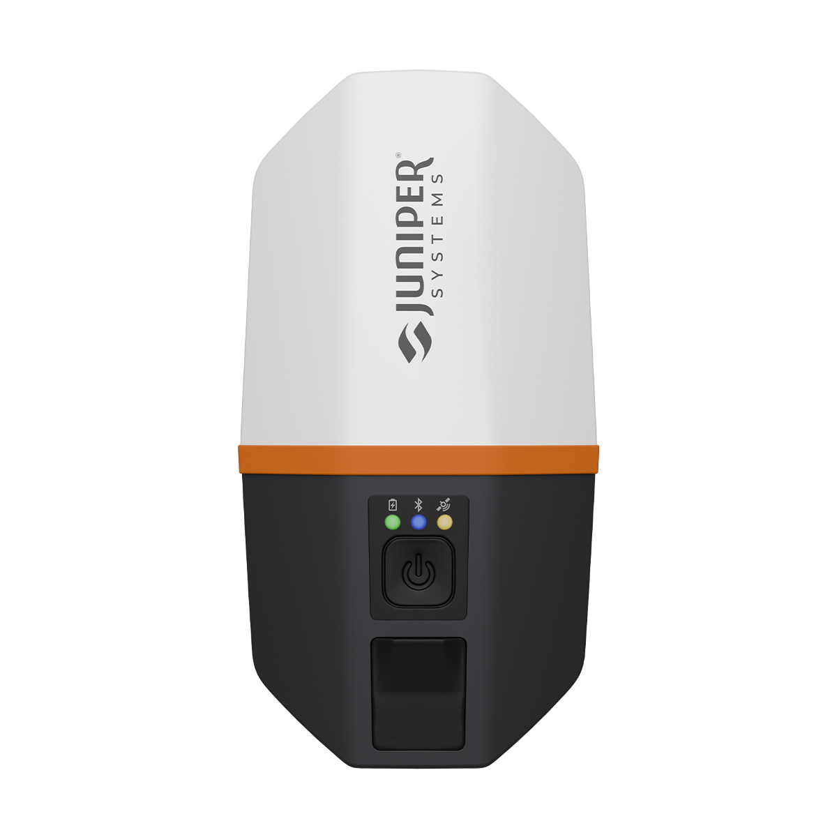
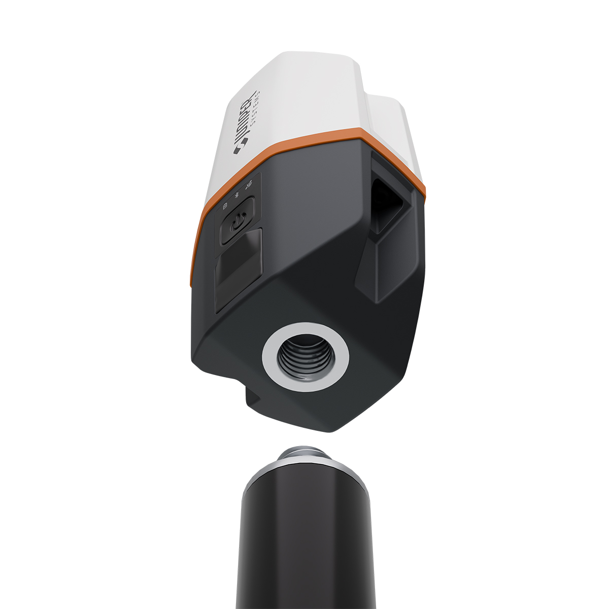

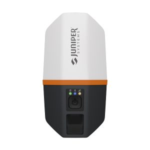
Juniper Systems Spire SP1-CFG(1457) Real-time Ready Receiver
Call for PriceACCEPTING PRE-ORDERS NOW!
Juniper Systems Spire SP1-CFG(1457) Real-time Ready Receiver
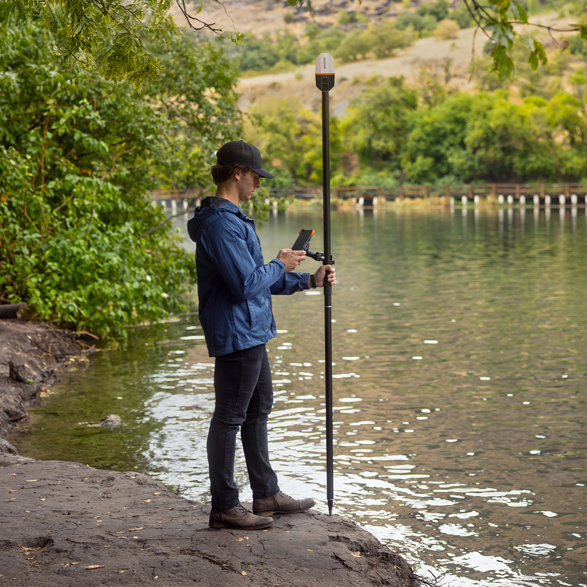
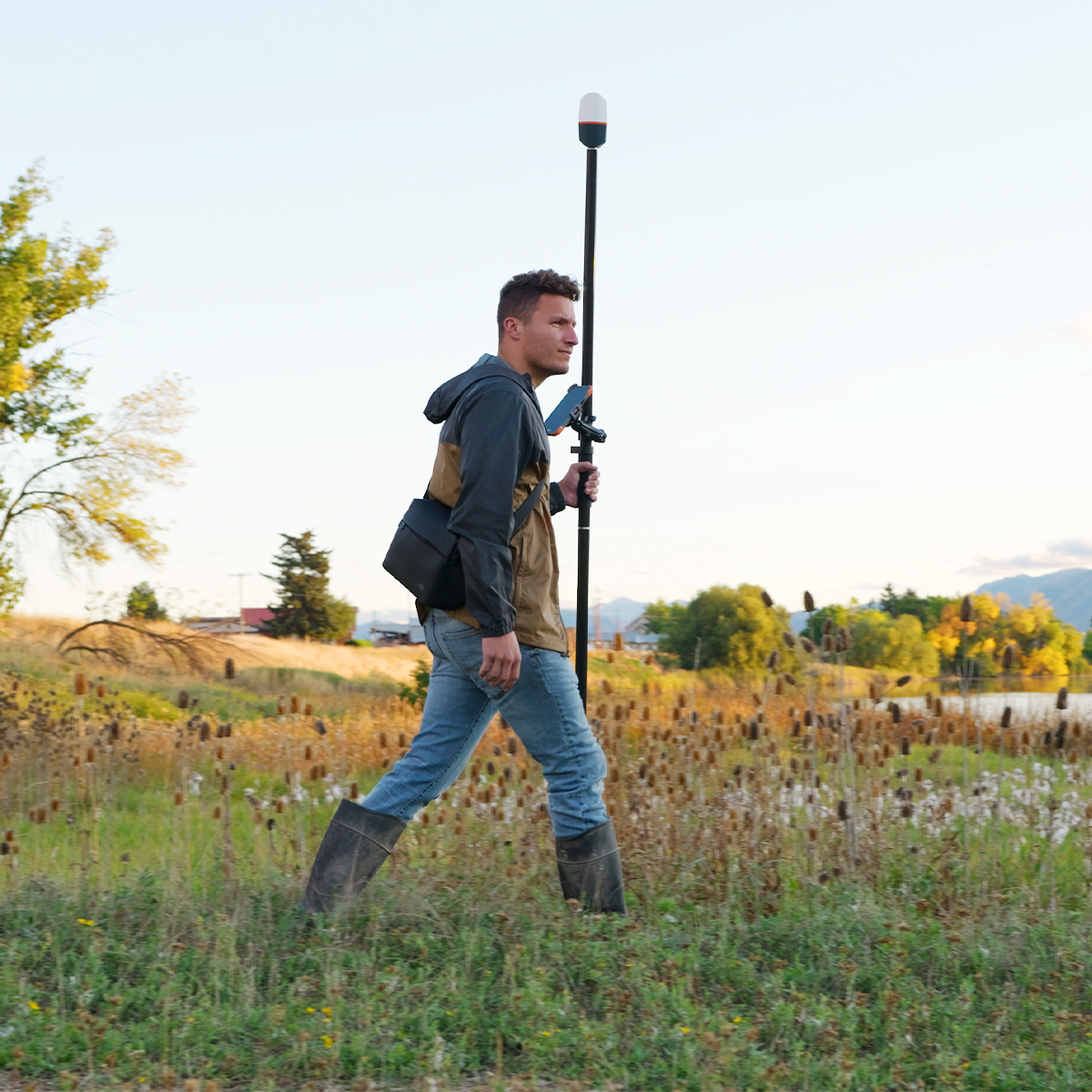
Our newest GNSS receiver simplifies location data collection.
Achieve high-accuracy results with a light, compact design, one-button operation and the corrections services you need right out of the box. Built for rugged environments and long workdays, it offers seamless integration with mobile devices and data collection apps, making it a reliable companion for all GIS and asset mapping applications. It just works.Quick View -

Juniper Systems Uinta 29117 Software (1-Year) – Windows 10 Professional License
Call for Price

Juniper Systems Uinta 29117 Software (1-Year) – Windows 10 Professional License
Call for PriceJuniper Systems Uinta 29117 Software (1-Year) – Windows 10 Professional License
Your Data. Your Way.
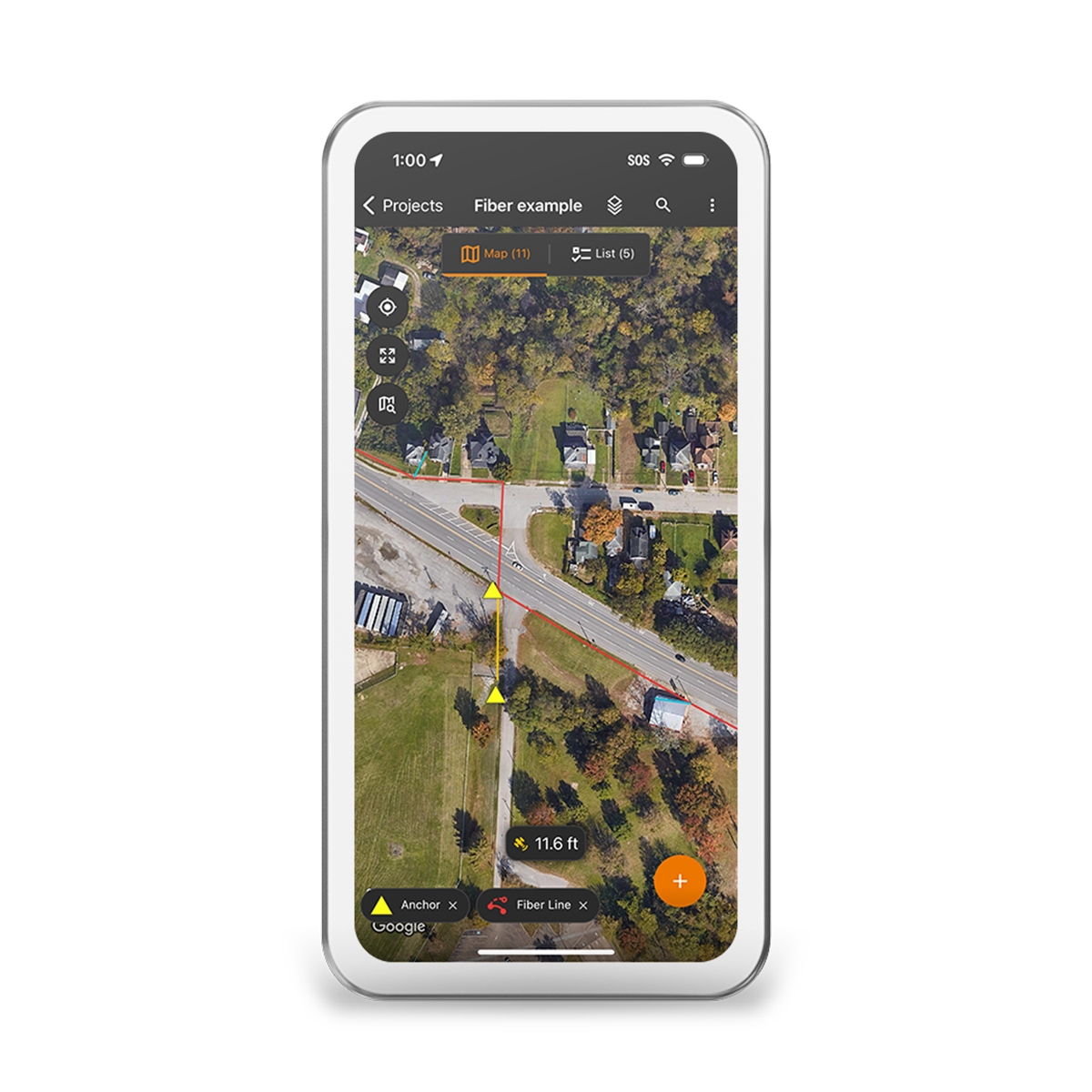
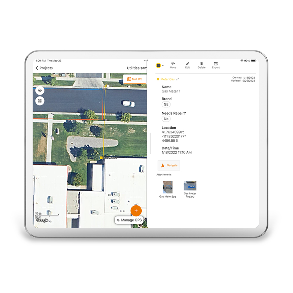
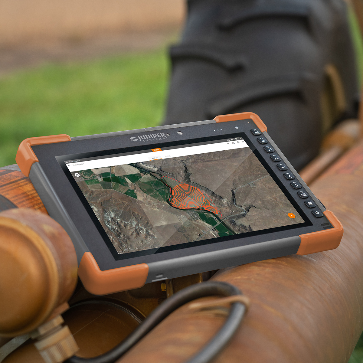
With Uinta, field data collection has never been easier. Our intuitive software allows users to effortlessly gather accurate data using customizable forms and real-time GPS integration ensures that your data is not only accurately mapped but also easily accessible for further analysis and reporting. Whether you are conducting environmental surveys, managing assets, or performing inspections, Uinta’s user-friendly interface helps you capture critical information quickly and accurately. The software supports a wide range of data types, including text, photos, and geospatial coordinates, making it versatile enough to handle any project. Cloud storage back-up allows you to save your data in a more accessible place, and when you are offline, Uinta saves your data locally and will upload once connection is reestablished.
Quick View -
Juniper Systems Uinta 29118 Software (3-Year) – License
Call for Price Juniper Systems Uinta 29118 Software (3-Year) – License
Call for PriceJuniper Systems Uinta 29118 Software (3-Year) – License
Your Data. Your Way.
With Uinta, field data collection has never been easier. Our intuitive software allows users to effortlessly gather accurate data using customizable forms and real-time GPS integration ensures that your data is not only accurately mapped but also easily accessible for further analysis and reporting. Whether you are conducting environmental surveys, managing assets, or performing inspections, Uinta’s user-friendly interface helps you capture critical information quickly and accurately. The software supports a wide range of data types, including text, photos, and geospatial coordinates, making it versatile enough to handle any project. Cloud storage back-up allows you to save your data in a more accessible place, and when you are offline, Uinta saves your data locally and will upload once connection is reestablished.Quick View -
Juniper Systems Uinta 29119 Software (1-Year) – Extra Field License
Call for Price Juniper Systems Uinta 29119 Software (1-Year) – Extra Field License
Call for PriceJuniper Systems Uinta 29119 Software (1-Year) – Extra Field License
Your Data. Your Way.
With Uinta, field data collection has never been easier. Our intuitive software allows users to effortlessly gather accurate data using customizable forms and real-time GPS integration ensures that your data is not only accurately mapped but also easily accessible for further analysis and reporting. Whether you are conducting environmental surveys, managing assets, or performing inspections, Uinta’s user-friendly interface helps you capture critical information quickly and accurately. The software supports a wide range of data types, including text, photos, and geospatial coordinates, making it versatile enough to handle any project. Cloud storage back-up allows you to save your data in a more accessible place, and when you are offline, Uinta saves your data locally and will upload once connection is reestablished.
Quick View -
Juniper Systems Uinta 29120 Software (3-Year) – Professional License
Call for Price Juniper Systems Uinta 29120 Software (3-Year) – Professional License
Call for PriceJuniper Systems Uinta 29120 Software (3-Year) – Professional License
Your Data. Your Way.
With Uinta, field data collection has never been easier. Our intuitive software allows users to effortlessly gather accurate data using customizable forms and real-time GPS integration ensures that your data is not only accurately mapped but also easily accessible for further analysis and reporting. Whether you are conducting environmental surveys, managing assets, or performing inspections, Uinta’s user-friendly interface helps you capture critical information quickly and accurately. The software supports a wide range of data types, including text, photos, and geospatial coordinates, making it versatile enough to handle any project. Cloud storage back-up allows you to save your data in a more accessible place, and when you are offline, Uinta saves your data locally and will upload once connection is reestablished.
Quick View -
Juniper Systems Geode GNS3H-CFG(13759) Single-Frequency Antenna Model Receiver
Call for Price
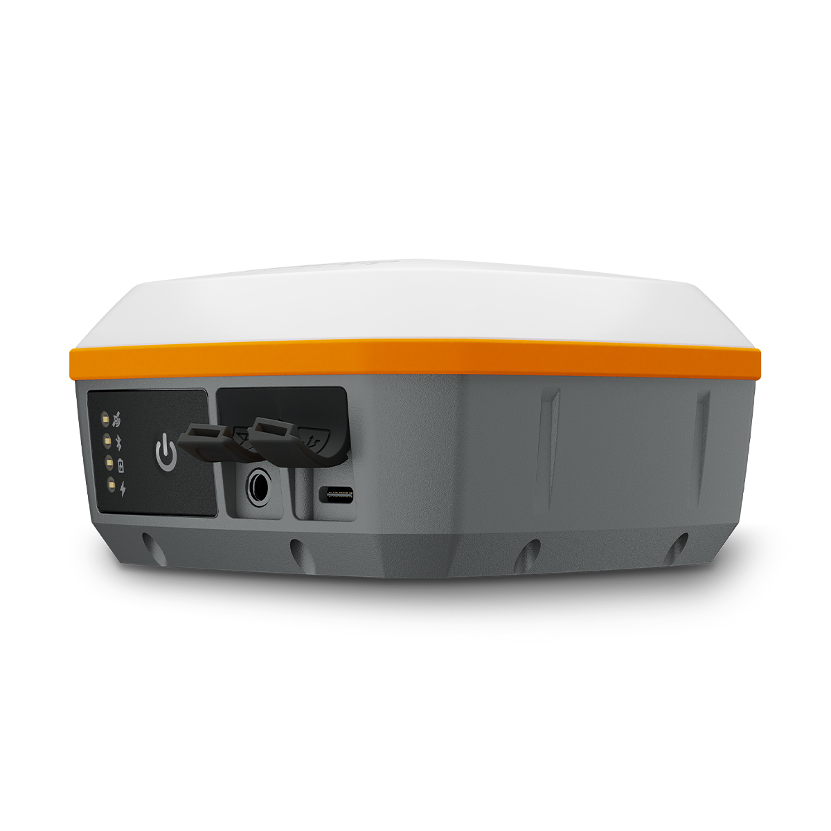
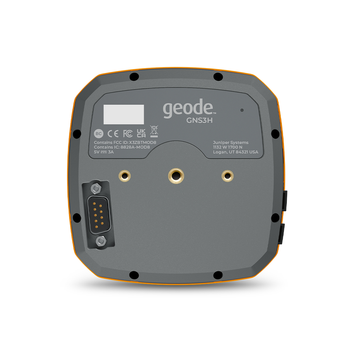
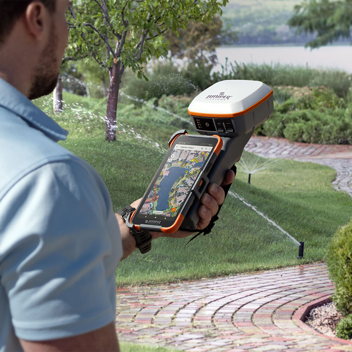
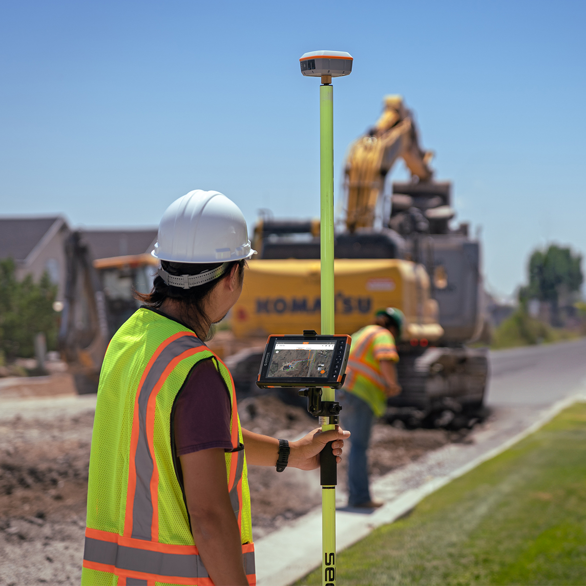
Juniper Systems Geode GNS3H-CFG(13759) Single-Frequency Antenna Model Receiver
Call for PriceQuick View -
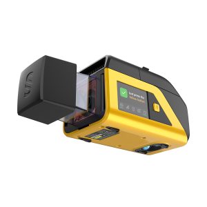
YellowScan Venturer YSVENTKIT-AP LiDAR System
Call for Price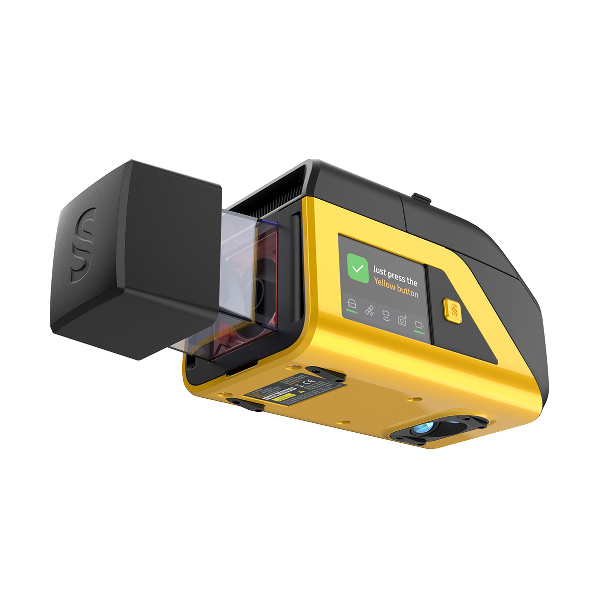
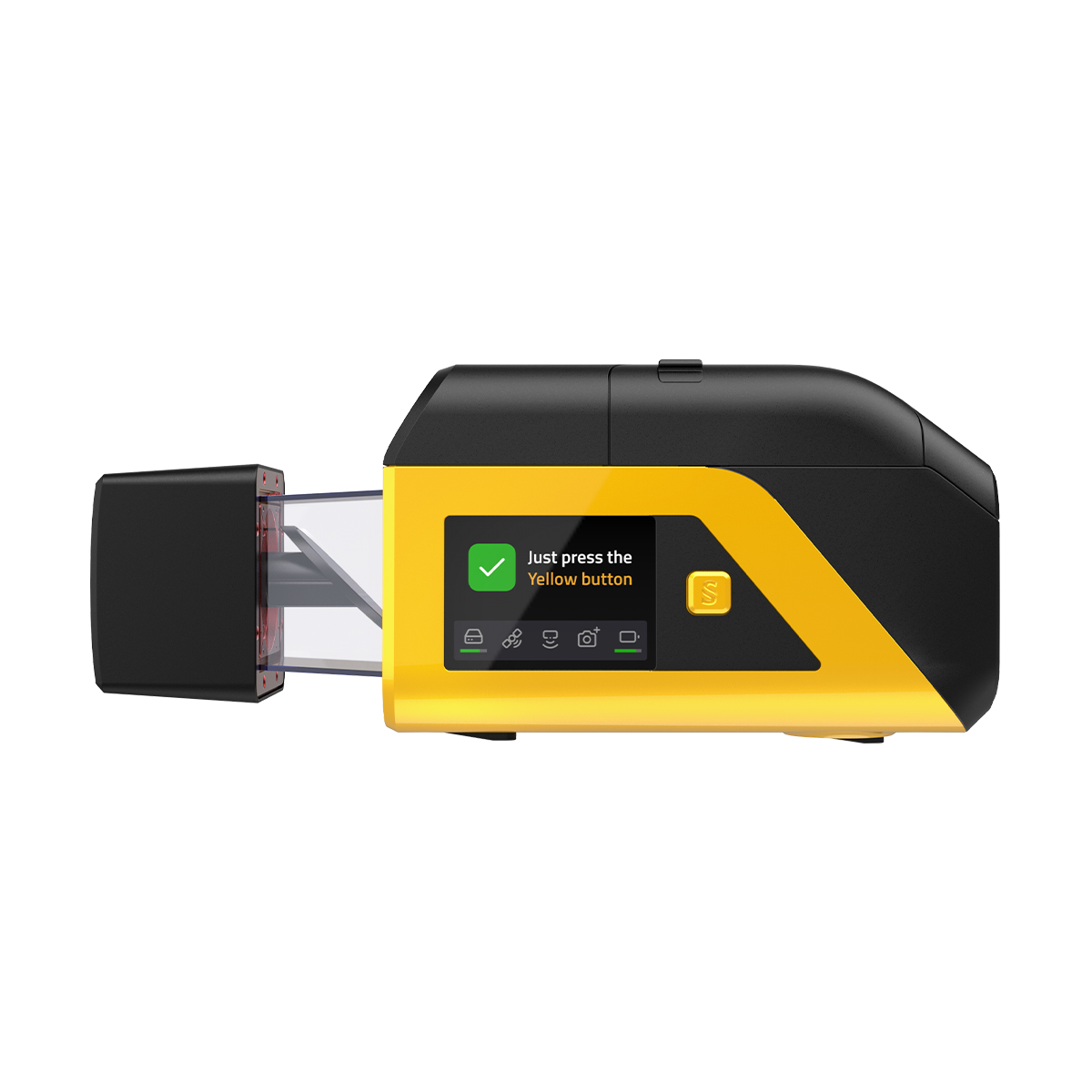
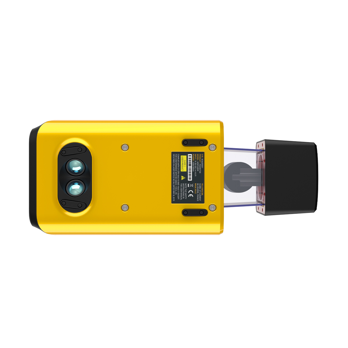
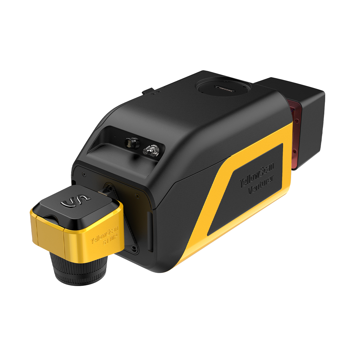
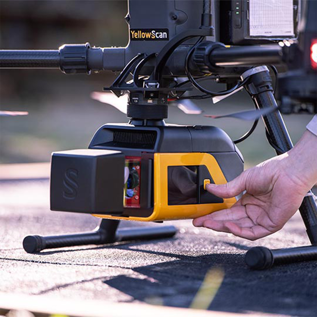


YellowScan Venturer YSVENTKIT-AP LiDAR System
Call for PriceYellowScan Venturer YSVENTKIT-AP LiDAR System
Confidence When it Matters Most
Built for survey and government missions where there is no second chance to fly, the YellowScan Venturer is an NDAA-compliant, survey-grade LiDAR system designed to remove uncertainty in the field. It gives teams confidence at takeoff, reliable results and full control over locally processed data through our dedicated CloudStation software.
Quick View -
SPH Engineering EchoNIMBUS-MBES Multibeam Echosounder Payload
Call for Price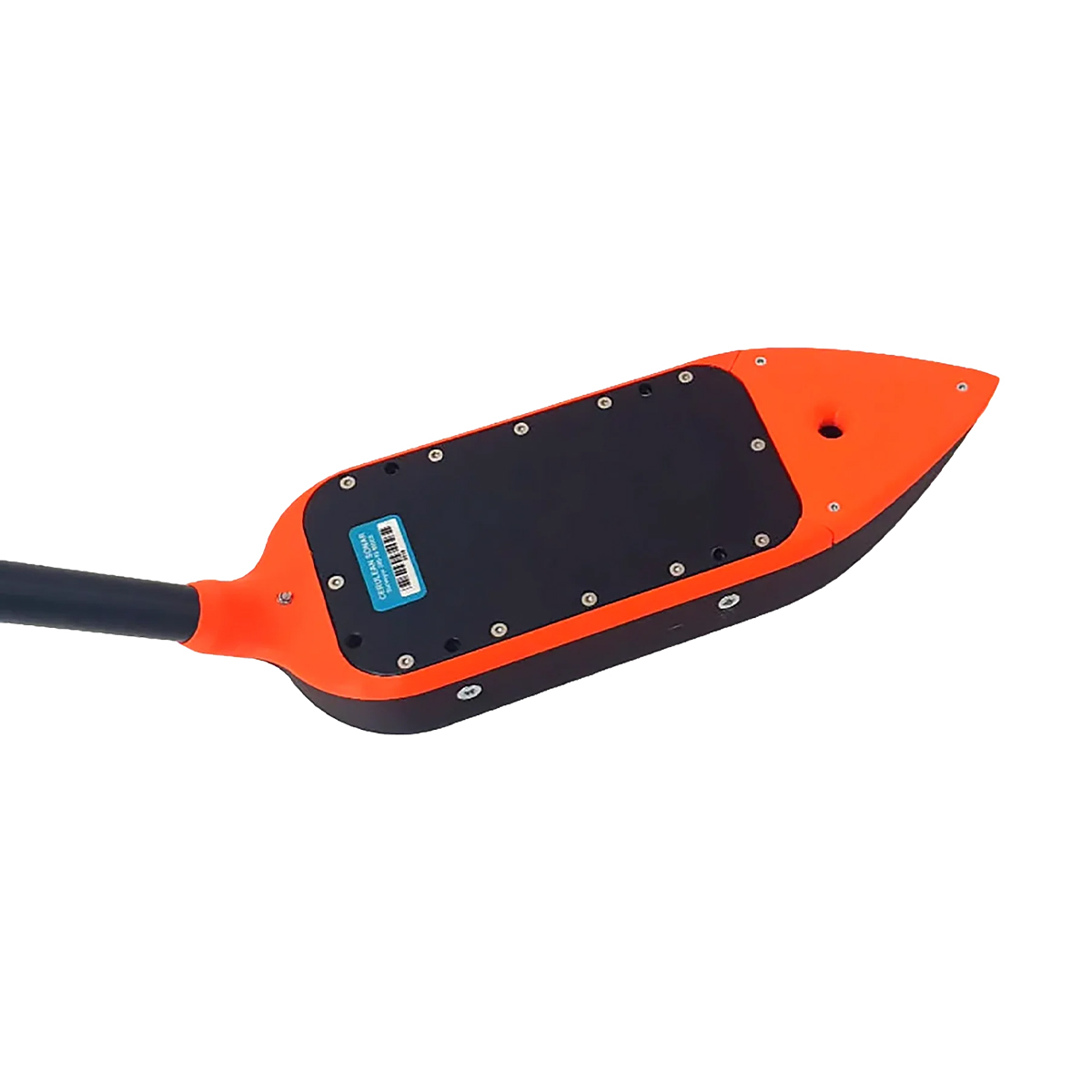

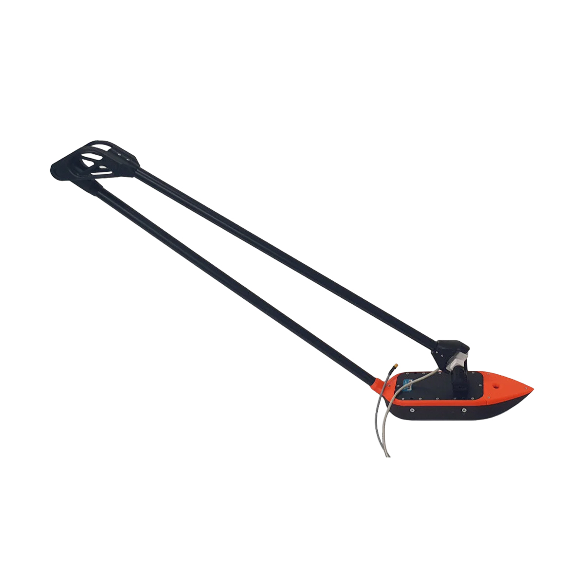
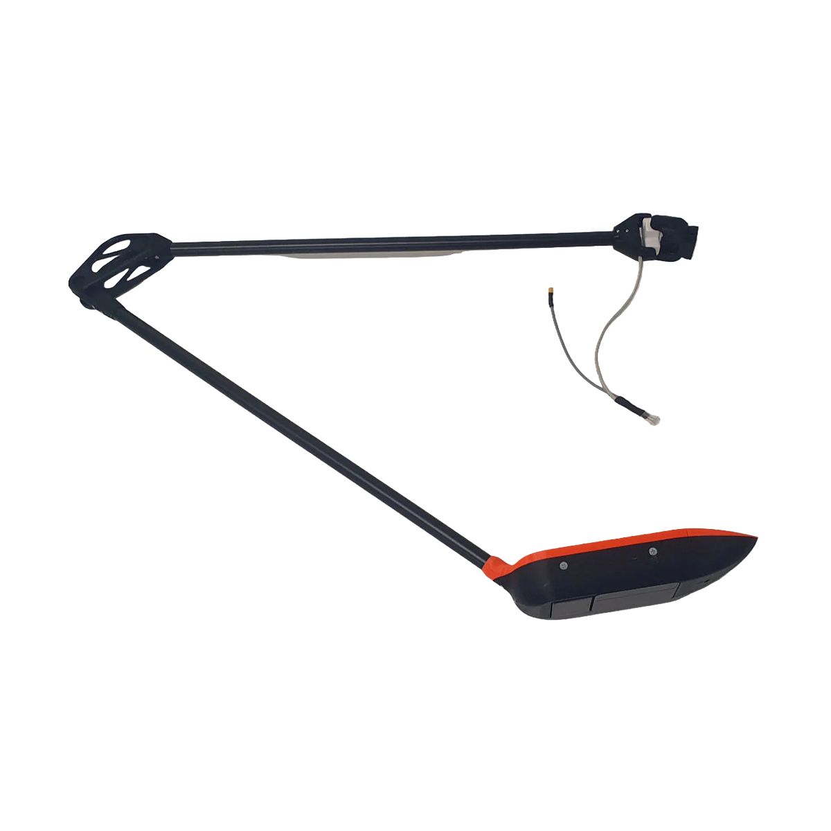

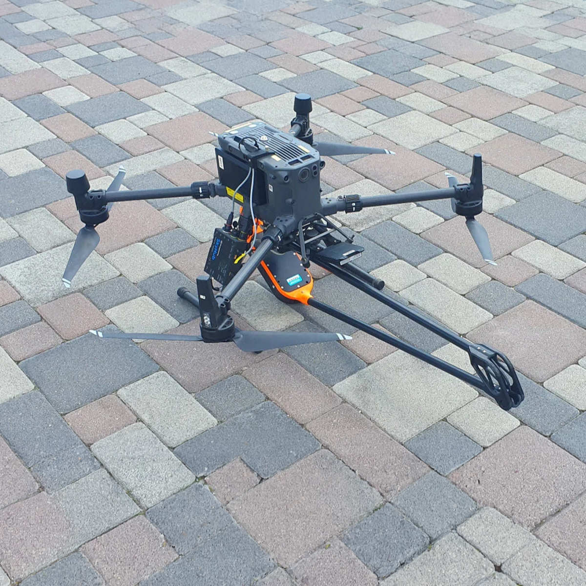
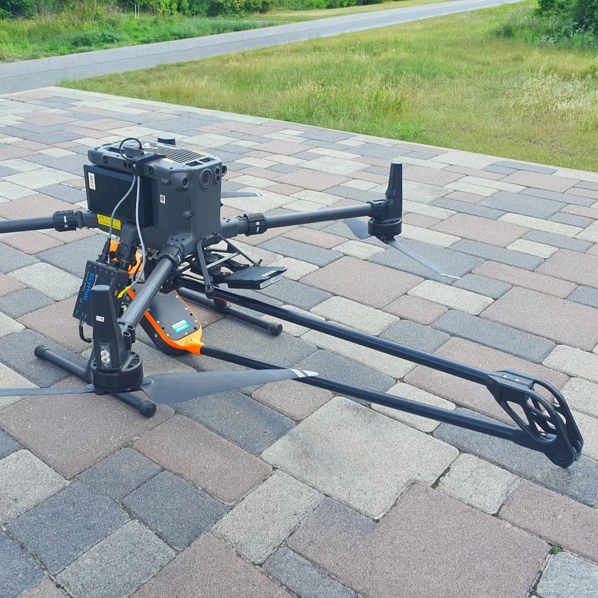

SPH Engineering EchoNIMBUS-MBES Multibeam Echosounder Payload
Call for PriceEchoNIMBUS-MBES – Drone-Based Multibeam Echosounder
The EchoNIMBUS-MBES integrated with SPH Engineering’s UgCS SkyHub system transforms UAVs into efficient bathymetric survey tools. Mounted beneath a drone and operated from the air, the EchoNIMBUS-MBES captures precise 3D bathymetric data over shallow and difficult-to-access waters, such as reservoirs, rivers, ponds, or flooded areas. This drone-based solution eliminates the need for manned boats, providing a safer and faster workflow. Each flight collects dense bathymetric coverage for high-fidelity bottom modeling, making it ideal for engineering, environmental, and hydrographic applications.
Quick View