


Search results: “mapping” – Page 2
Showing 25–48 of 89 results
-

Autel Robotics EVO Max 4T Bundle
Call for Price


Autel Robotics EVO Max 4T Bundle
Call for PriceQuick View -
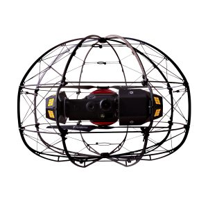
Flybotix KMC0001.02.00_Nd ASIO X Drone – NDAA Approved
Call for Price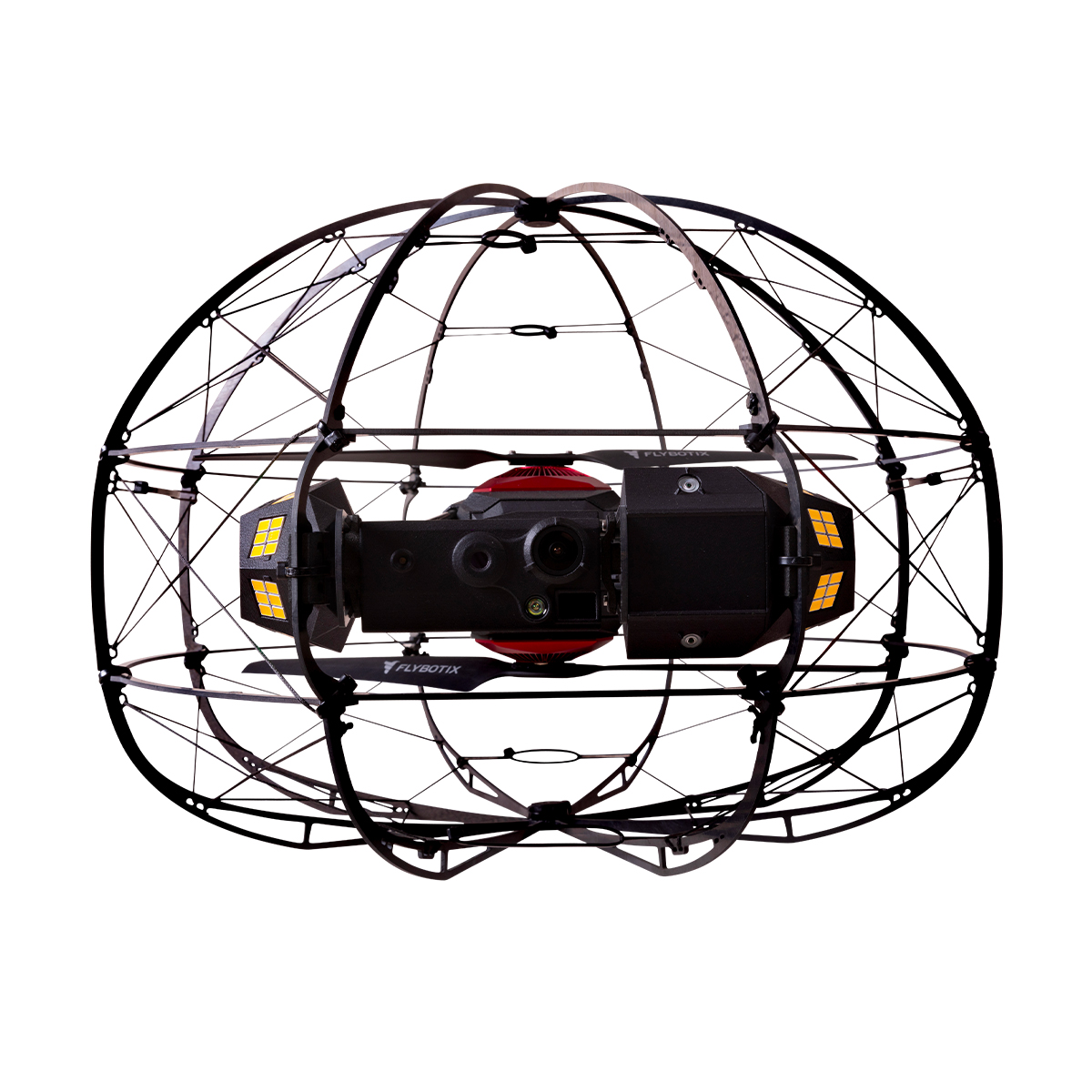
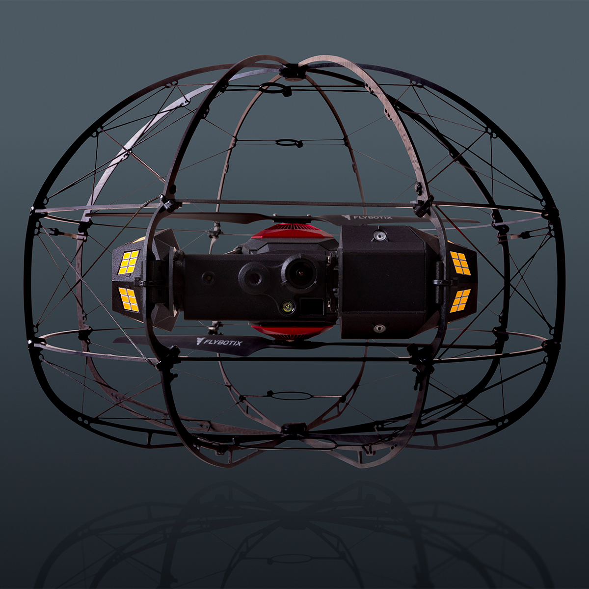
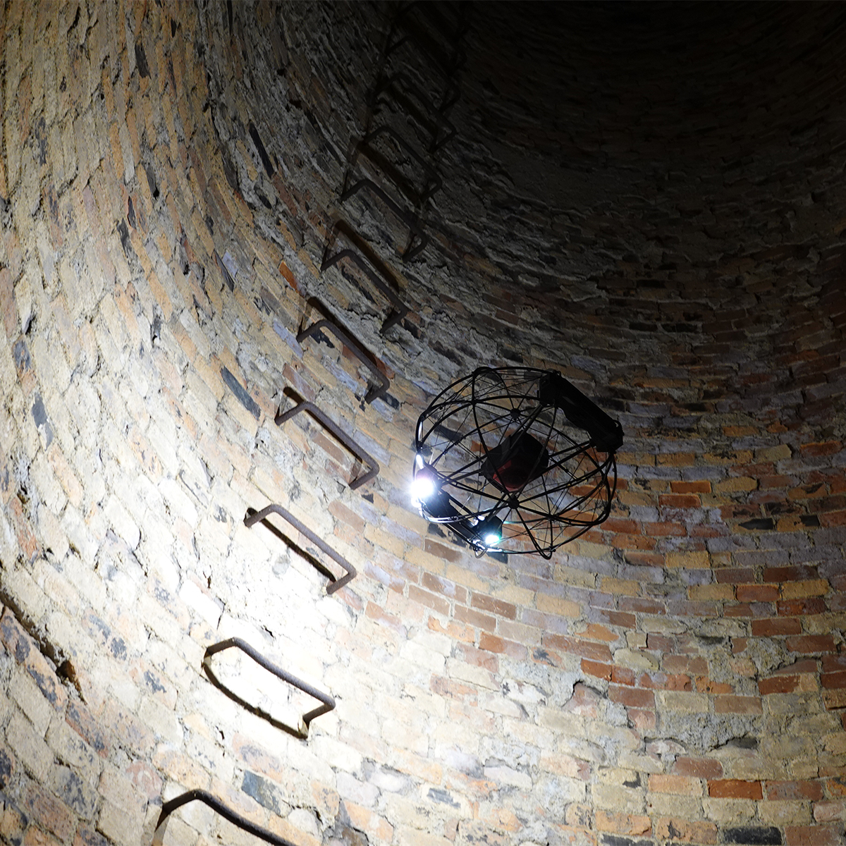
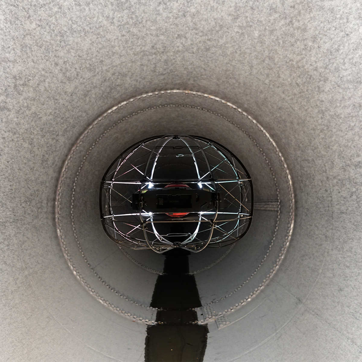
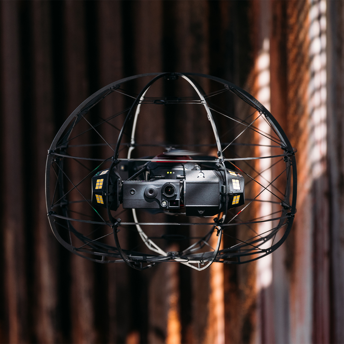
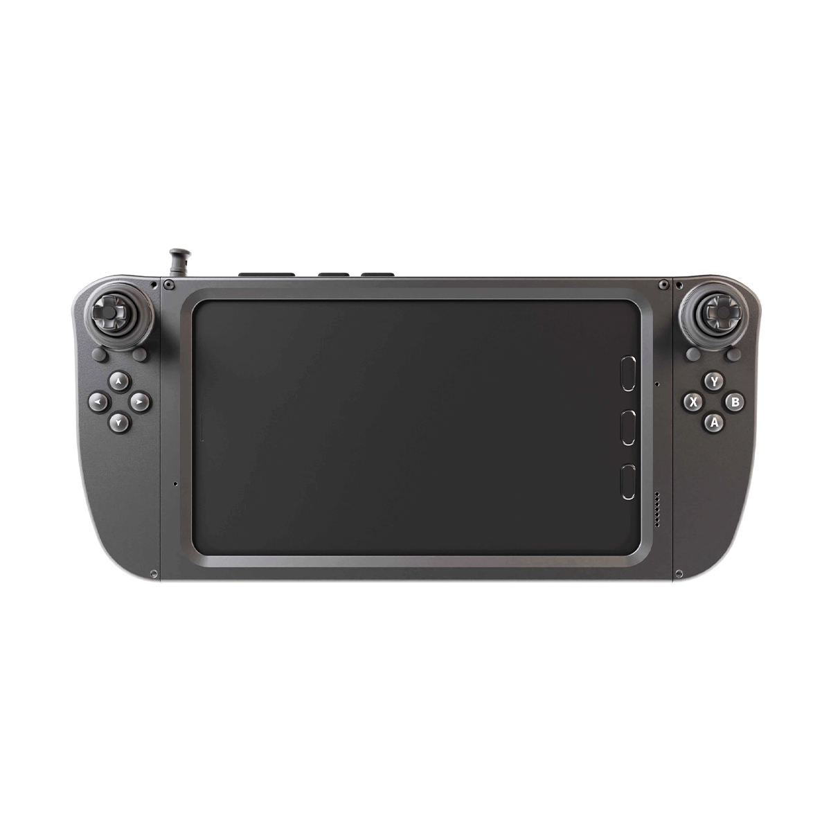
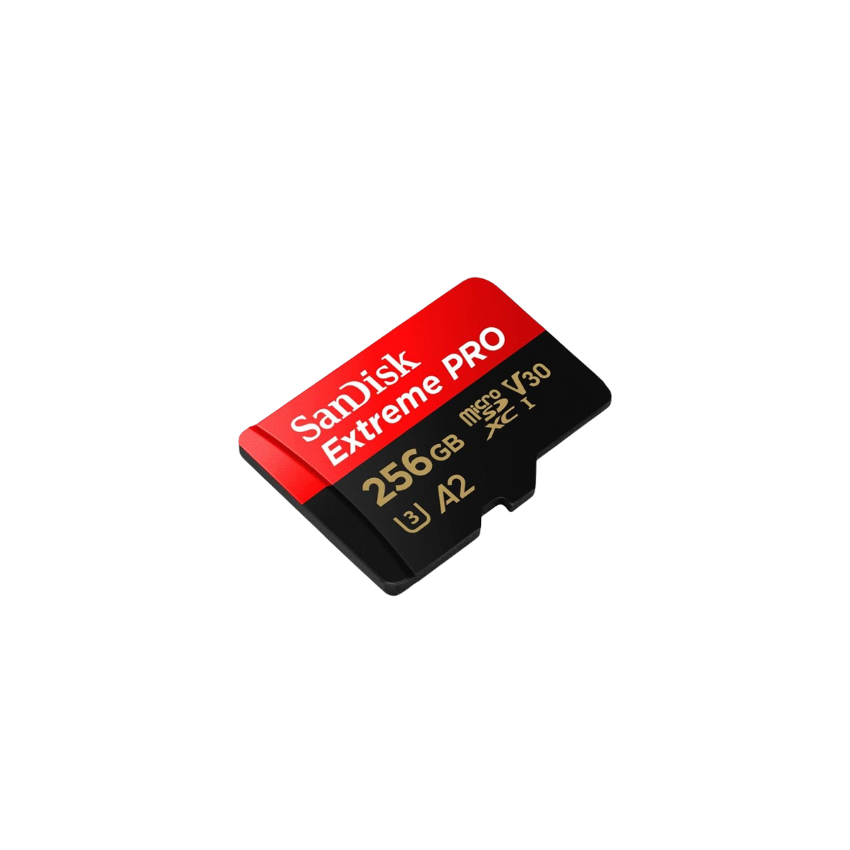
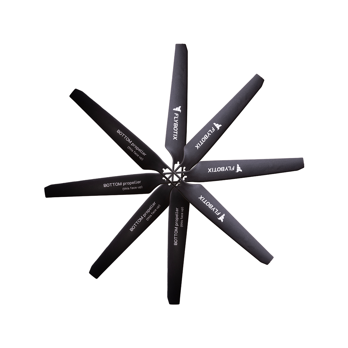
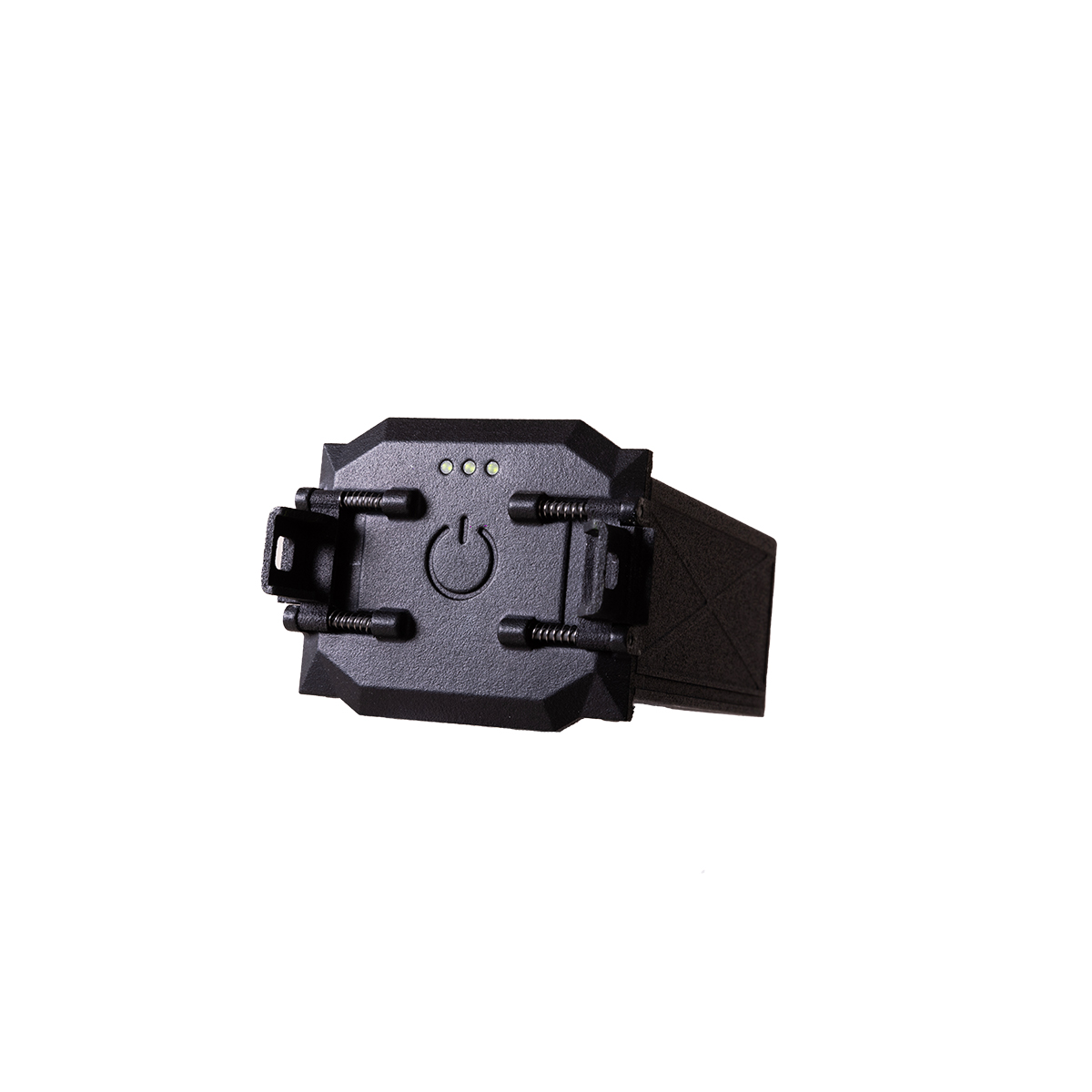
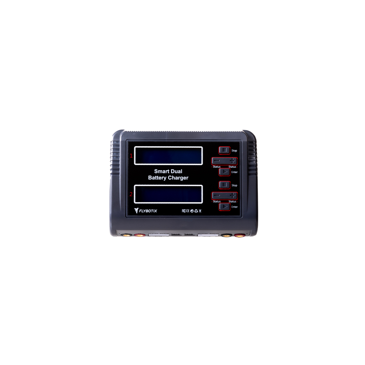
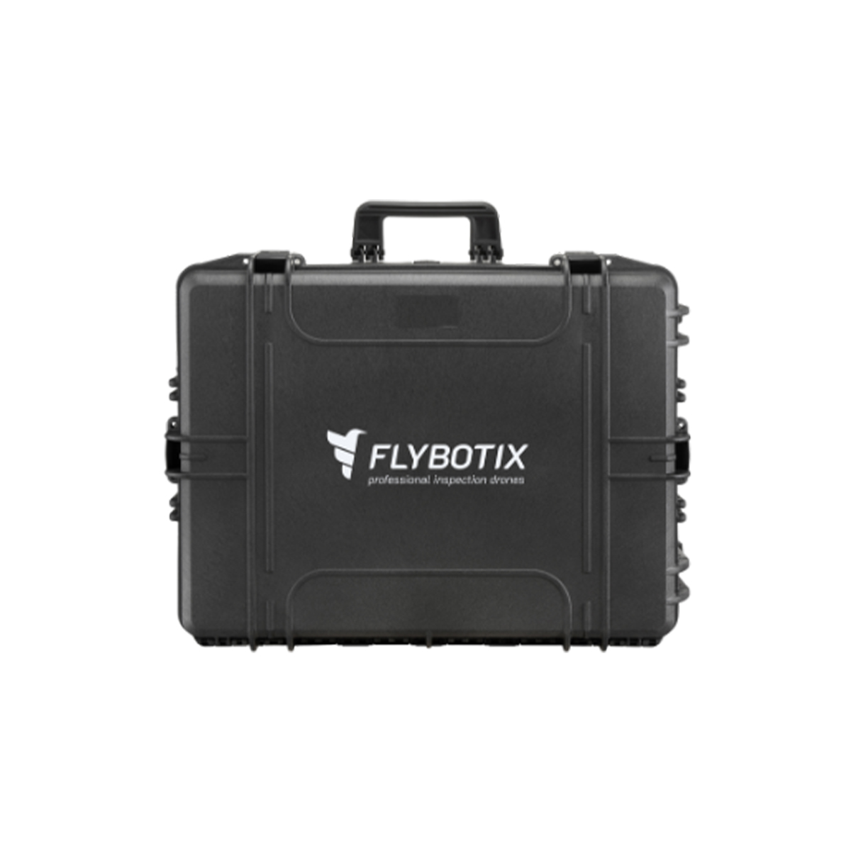



Flybotix KMC0001.02.00_Nd ASIO X Drone – NDAA Approved
Call for PriceFlybotix KMC0001.02.00_Nd ASIO X Drone – NDAA Approved
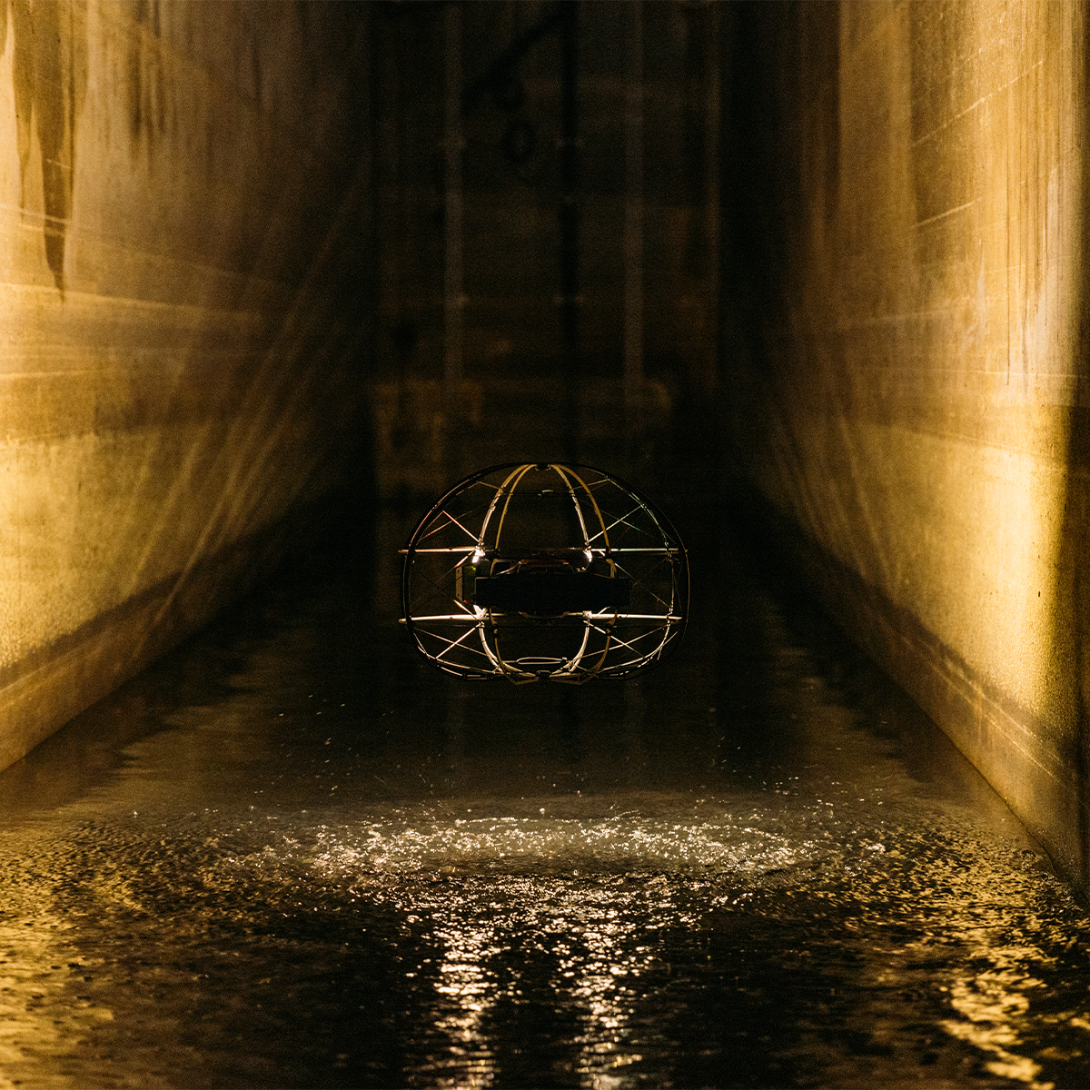
Drone-based solution for inspection and digitization of confined spaces.
The Flybotix ASIO X is an advanced, commercial-grade indoor inspection drone explicitly engineered to navigate hazardous, GPS-denied, and confined spaces.Quick View -
Flybotix KMC0001-02.00_BaHo ASIO X Drone – Black Herelink
Call for Price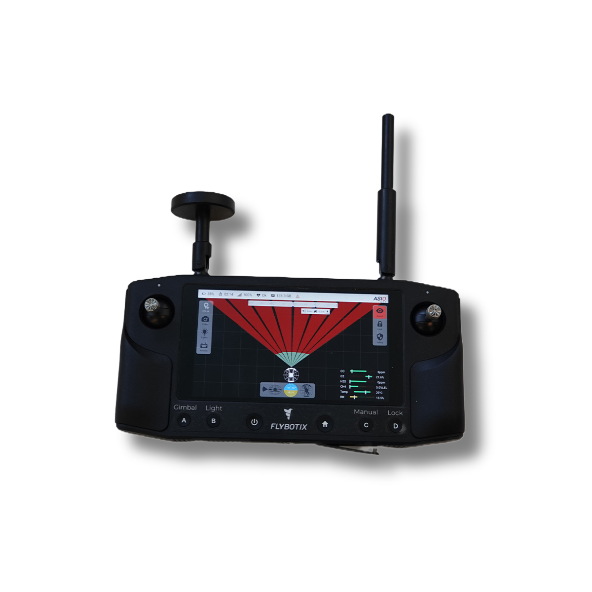
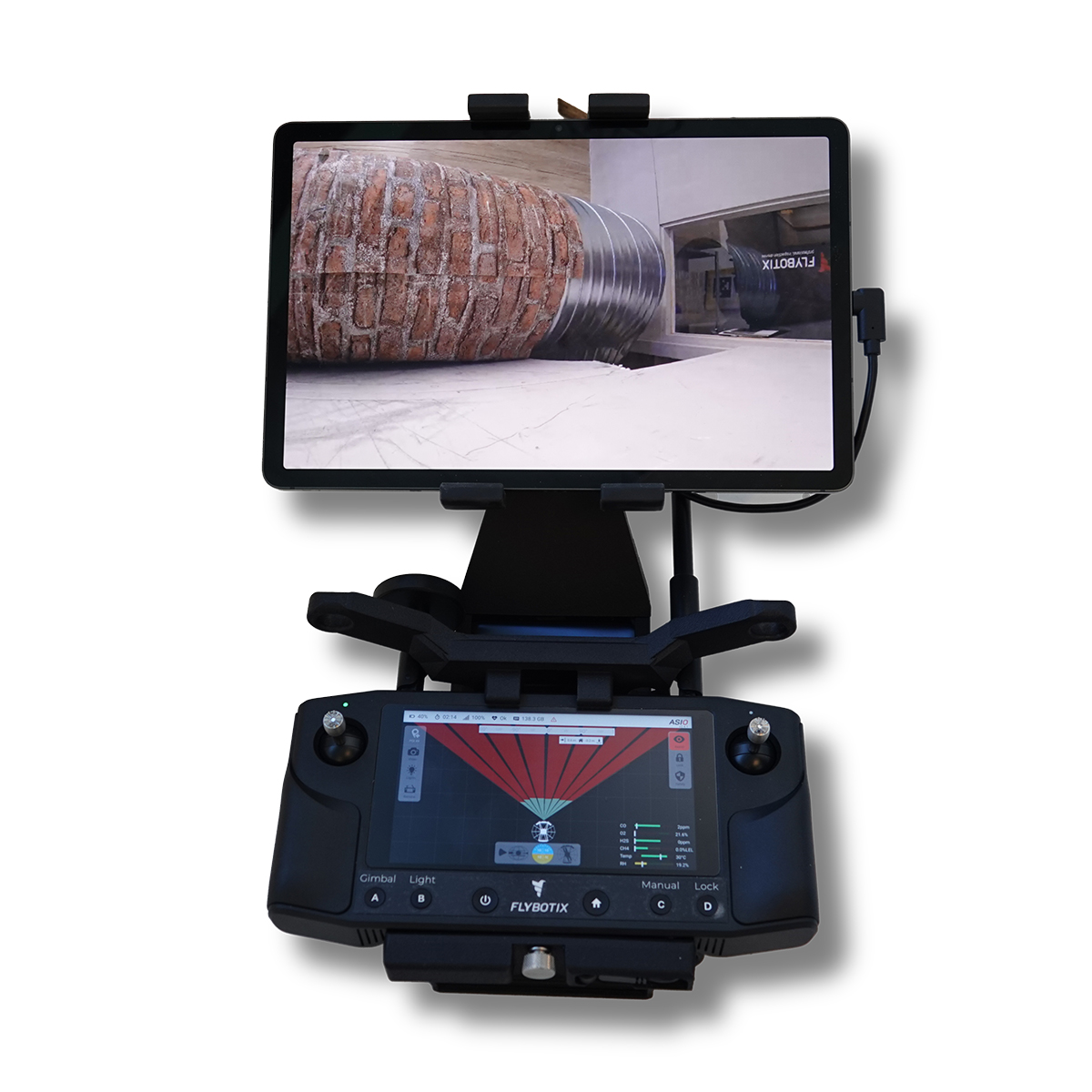
Flybotix KMC0001-02.00_BaHo ASIO X Drone – Black Herelink
Call for PriceFlybotix KMC0001-02.00_BaHo ASIO X Drone – Black Herelink
Drone-based solution for inspection and digitization of confined spaces.
The Flybotix ASIO X is an advanced, commercial-grade indoor inspection drone explicitly engineered to navigate hazardous, GPS-denied, and confined spaces.Quick View -
Flybotix KMC0001-02.00_BuHo ASIO X Drone – Blue Herelink
Call for Price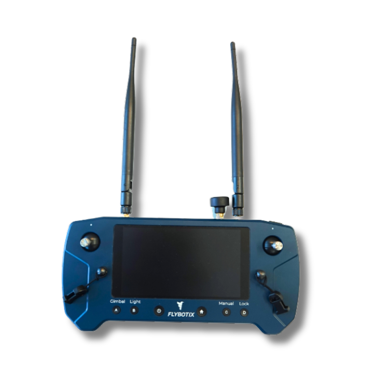
Flybotix KMC0001-02.00_BuHo ASIO X Drone – Blue Herelink
Call for PriceFlybotix KMC0001-02.00_BuHo ASIO X Drone – Blue Herelink
Drone-based solution for inspection and digitization of confined spaces.
The Flybotix ASIO X is an advanced, commercial-grade indoor inspection drone explicitly engineered to navigate hazardous, GPS-denied, and confined spaces.Quick View -
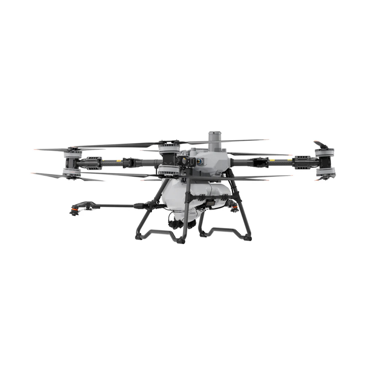
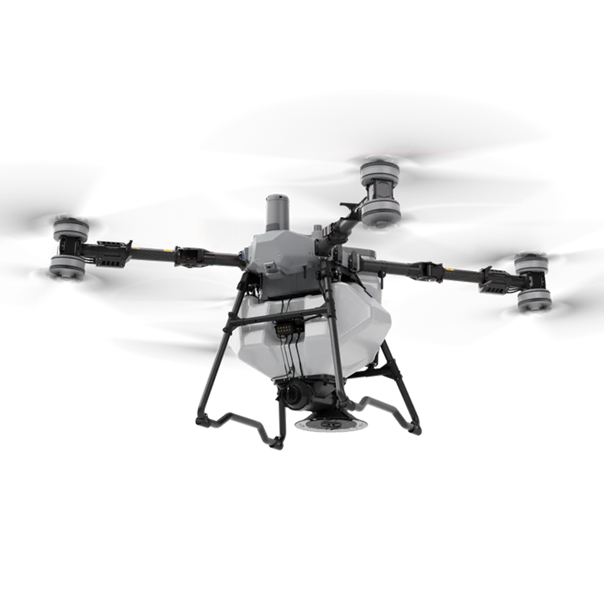
DJI Agras-T100 Sprayer Drone
Call for Price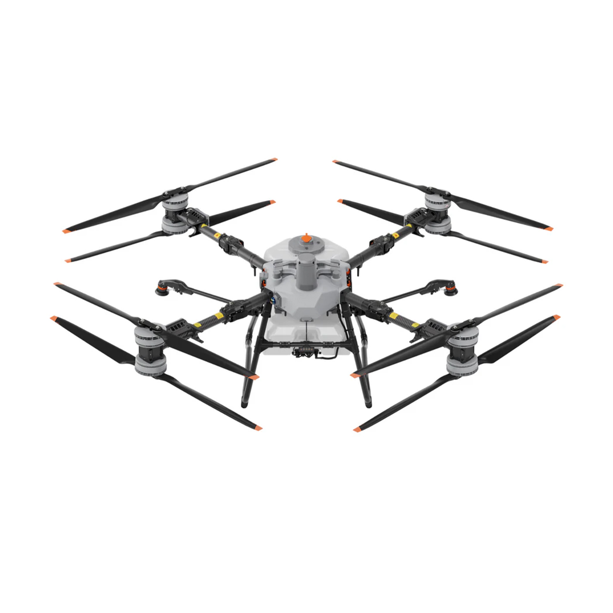


DJI Agras-T100 Sprayer Drone
Call for PriceDJI Agras-T100 Sprayer Drone
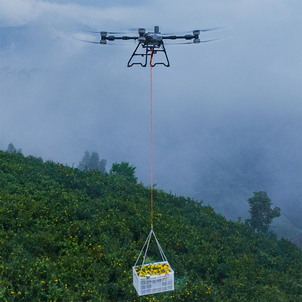
The DJI Agras T100 is a next-generation agricultural drone built on over a decade of innovation. With an impressive 220 lbs maximum payload, it delivers unmatched efficiency, doubling productivity across a wide range of applications, including spraying, spreading, and lifting. Equipped with cutting-edge safety systems and advanced intelligent algorithms, the T100 sets a new standard in safety, precision, and ease of operation for modern agriculture.
Quick View -
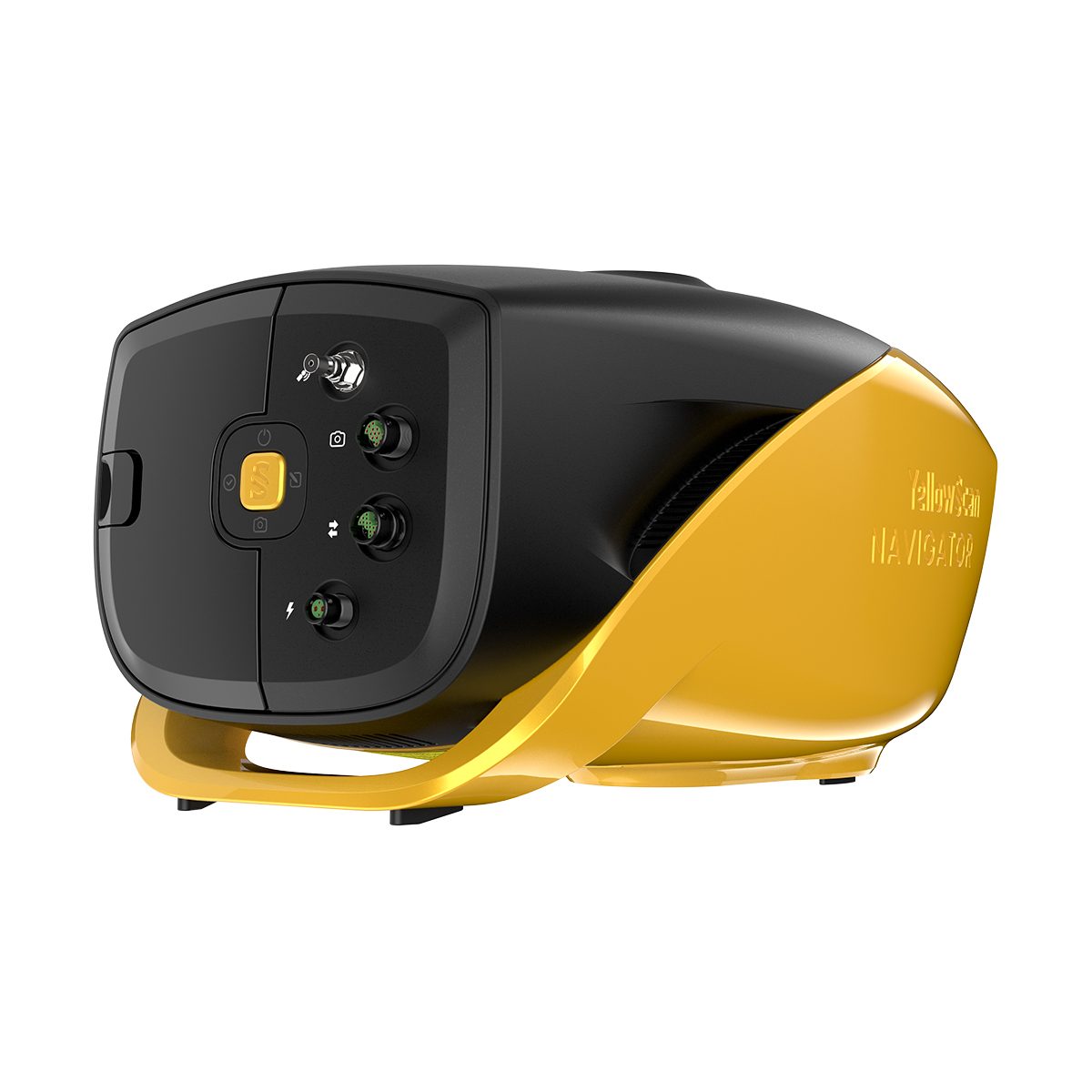
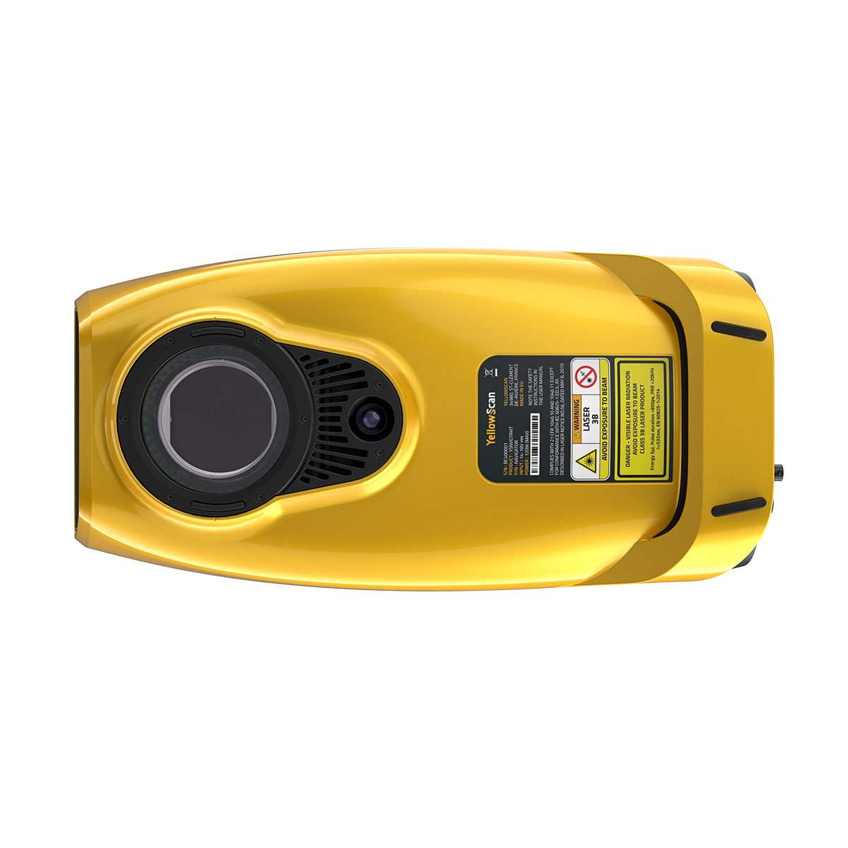
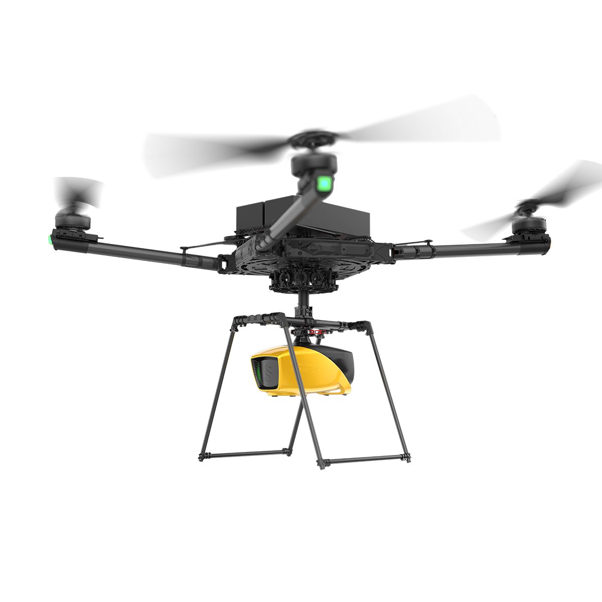
YellowScan Navigator YSNVGTRKIT
Call for Price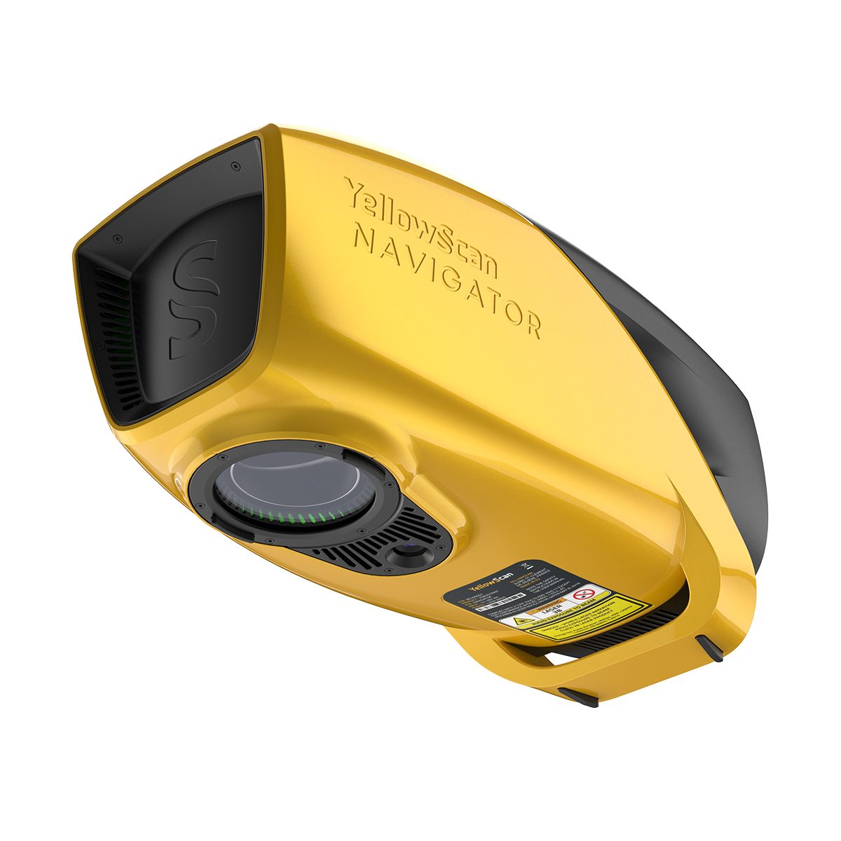
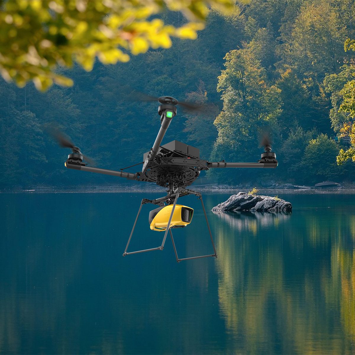

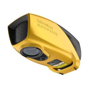
YellowScan Navigator YSNVGTRKIT
Call for PriceYellowScan Navigator
Depths to heights: operating bathymetric LiDAR with one button.The YellowScan bathymetric LiDAR is an innovative solution for exploring underwater and ground topography with a single-button operation. Its lightweight design allows for versatile platform selection without compromising water penetration.
Quick View -

Parrot ANAFI USA Gov Edition
Call for Price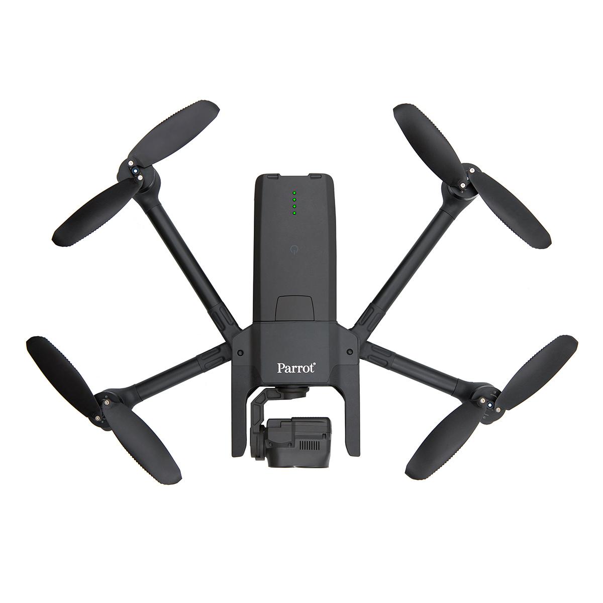


Parrot ANAFI USA Gov Edition
Call for PriceBLUE sUAS PROGRAM APPROVED
NDAA & TAA COMPLIANT
Quick View -
Gremsy Mio
Call for Price


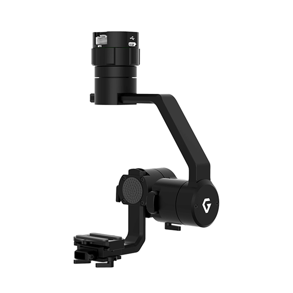
Gremsy Mio
Call for PriceQuick View -

DJI Mavic 3 Thermal, 1 Year Basic
Call for Price

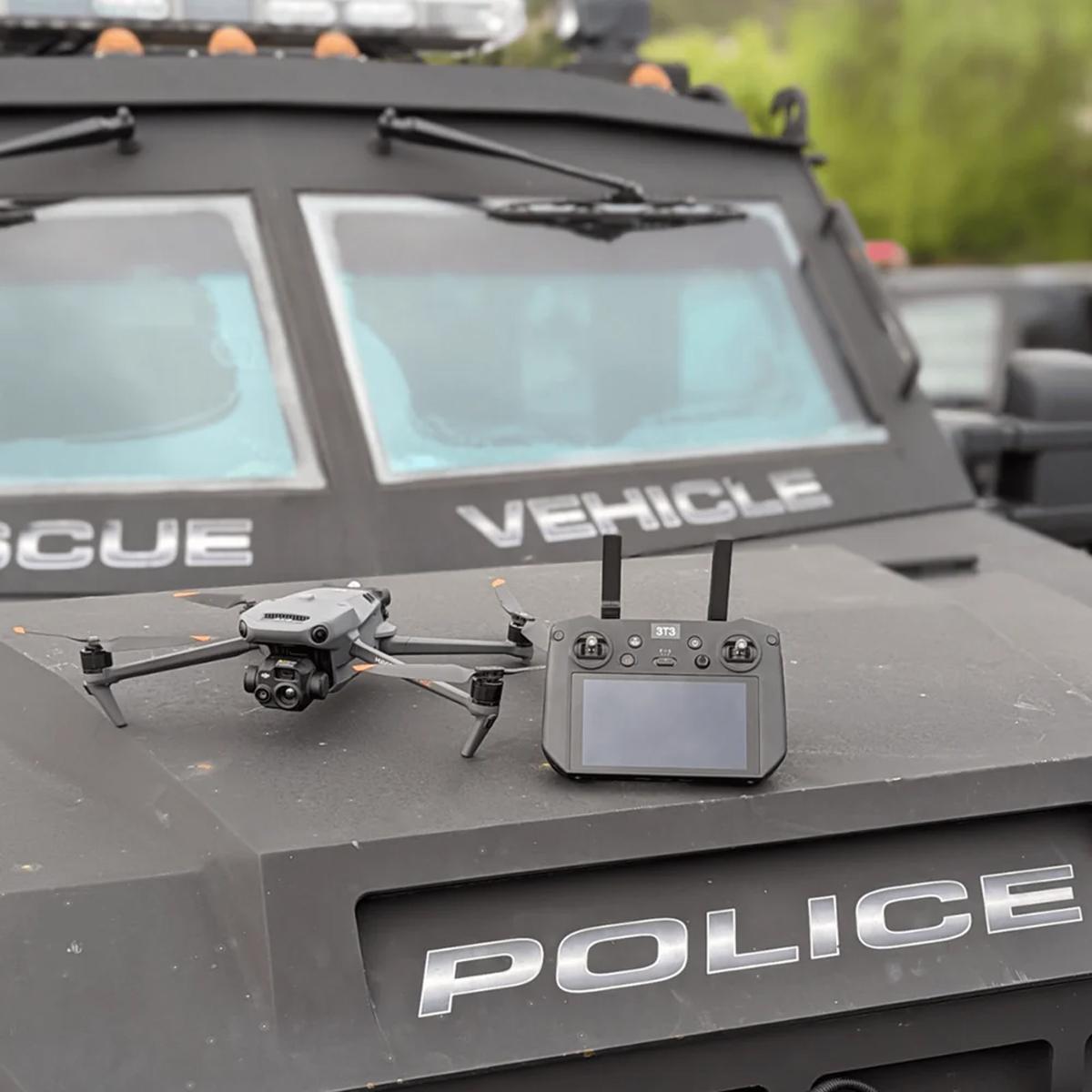
DJI Mavic 3 Thermal, 1 Year Basic
Call for PriceQuick View -

DJI Mavic 3 Enterprise
Call for Price


DJI Mavic 3 Enterprise
Call for PriceQuick View -
Juniper Systems Archer 4 Android AR4-103 GNSS Expansion Pod Rugged Handheld
Call for Price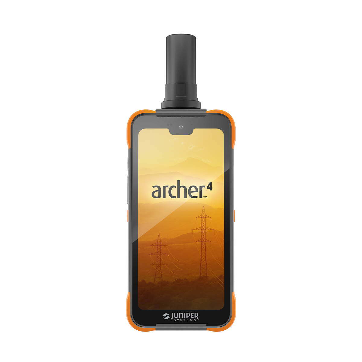
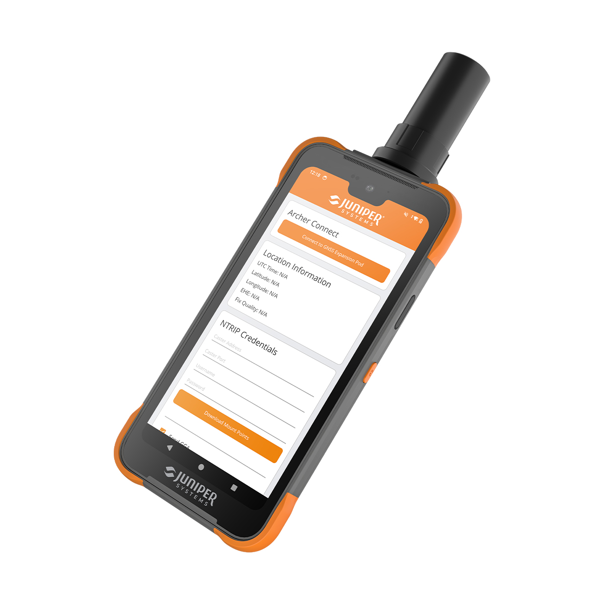
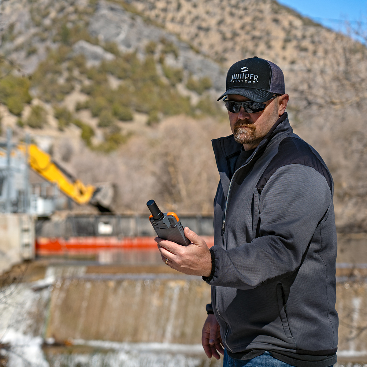
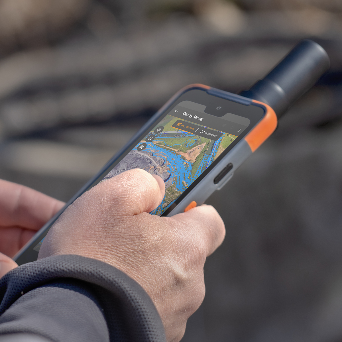
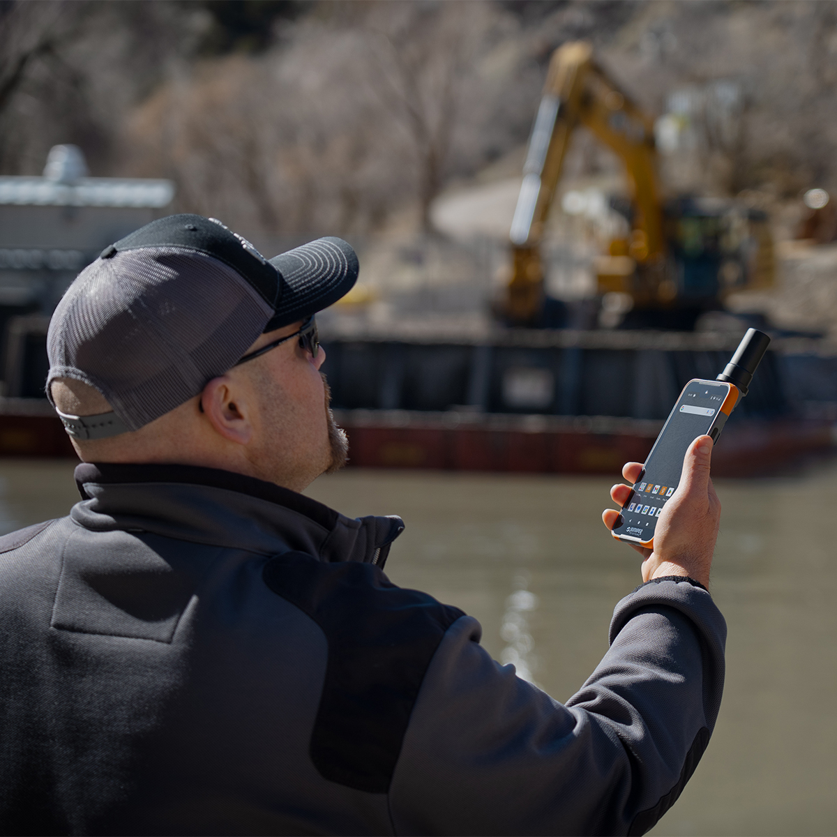

Juniper Systems Archer 4 Android AR4-103 GNSS Expansion Pod Rugged Handheld
Call for PriceDesigned to work. Built to last.
The Archer 4 Rugged Handheld is the latest release in the Archer family of products and is an exciting new platform for today’s mobile data collection. Its power-efficient Qualcomm processor, Android 14 operating system, and ultra-rugged ergonomic design combine to offer users a versatile option for frequent data entry.Quick View -

DJI Mavic 3 Multispectral
Call for Price


DJI Mavic 3 Multispectral
Call for PriceSee More, Work Smarter
Effective aerial surveying needs to see the invisible. That’s why Mavic 3 Multispectral has two forms of sight. It combines an RGB camera with a multispectral camera to scan and analyze crop growth with total clarity. Agricultural production management requires precision and data, and Mavic 3M delivers both.Quick View -
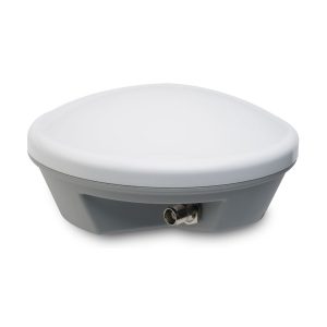
Used Trimble Tornado Antenna
Call for Price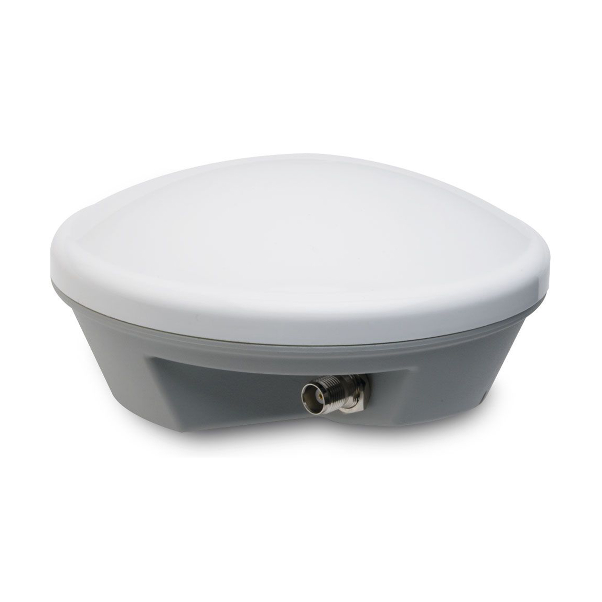
Used Trimble Tornado Antenna
Call for PriceThe Trimble® Tornado™ external dual frequency antenna contains advanced technology for extremely low multipath, outstanding low elevation satellite tracking, and high phase center accuracy. Use the Tornado antenna together with a Trimble H-Star enabled handhelds and receivers for high-accuracy mapping and GIS data collection.
Quick View -
Harris Aerial H6 Hydrone
Call for Price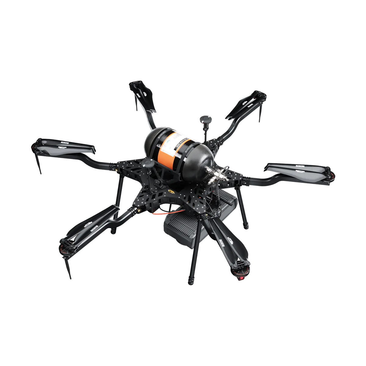
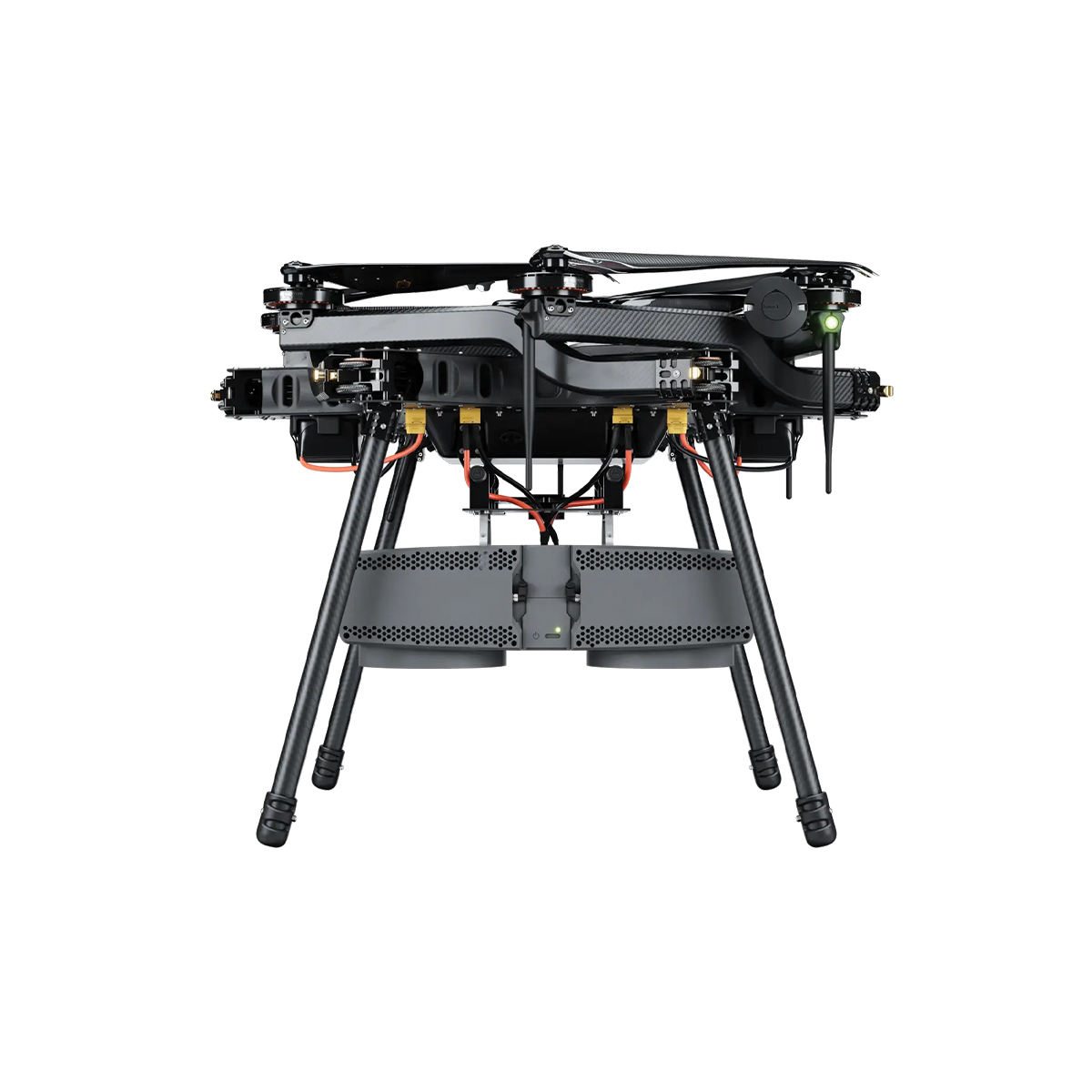
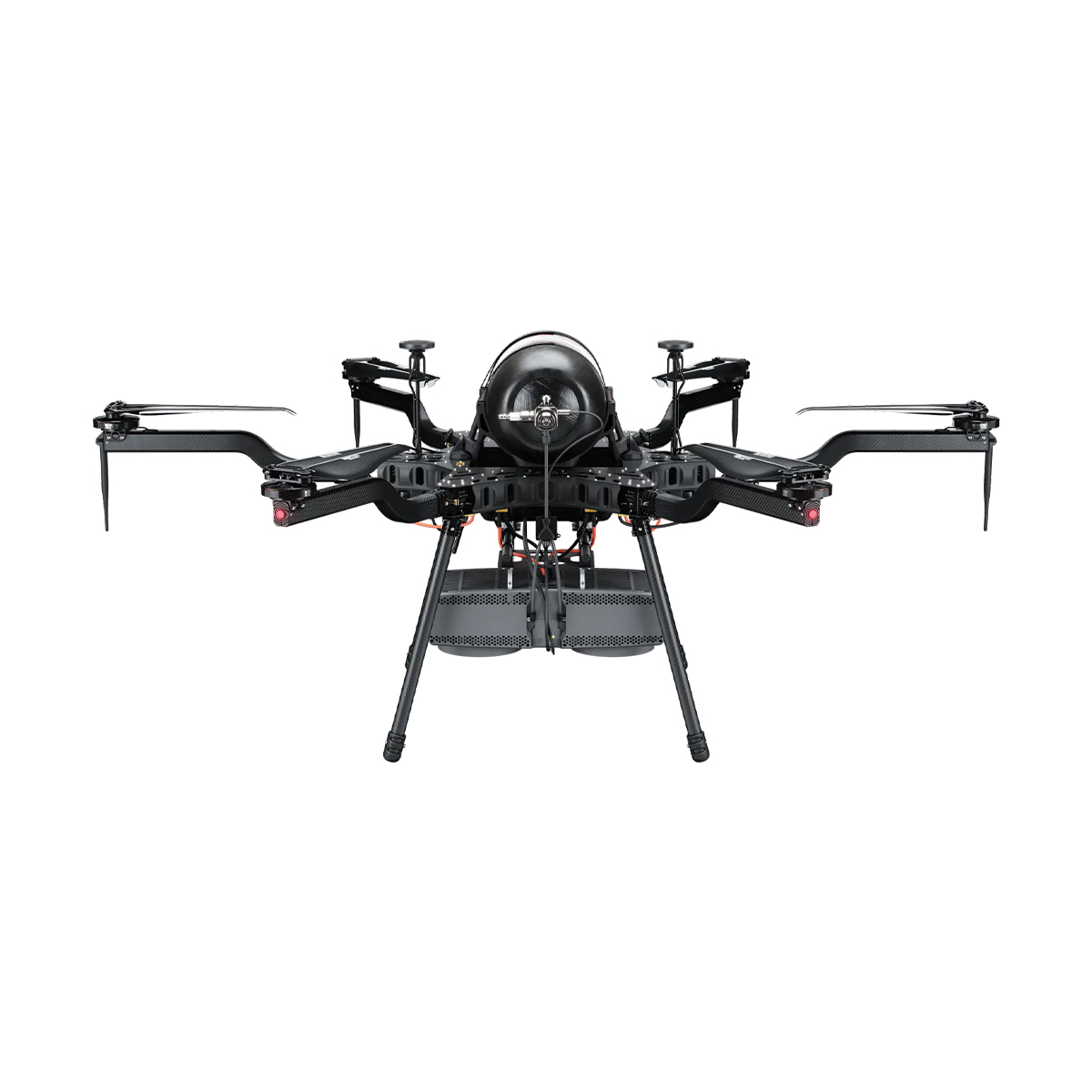
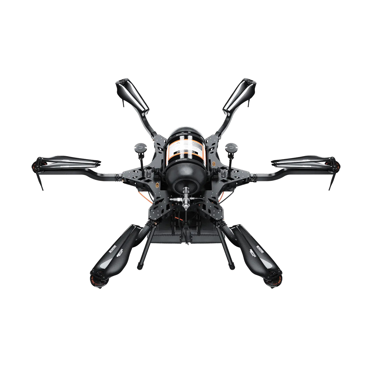

Harris Aerial H6 Hydrone
Call for PriceHarris Aerial H6 Hydrone
Extended Silent Flight. The Carrier H6 Hydrone uses highly efficient hydrogen-electric conversion to produce clean DC power in a robust, lightweight package. It delivers extreme hybrid flight times while maintaining the nearly silent operation of an all-electric multirotor.
As part of the H6 family, it remains fully convertible to gas-electric or all-electric power formats in minutes — one airframe, three power systems.
Quick View -
Harris Aerial H6 Electric Drone
Call for Price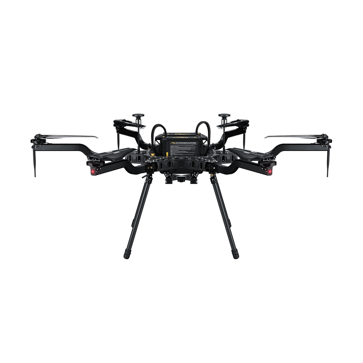
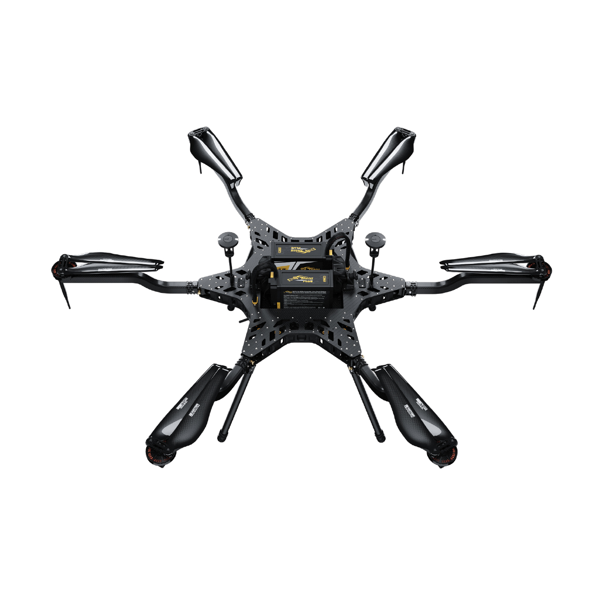
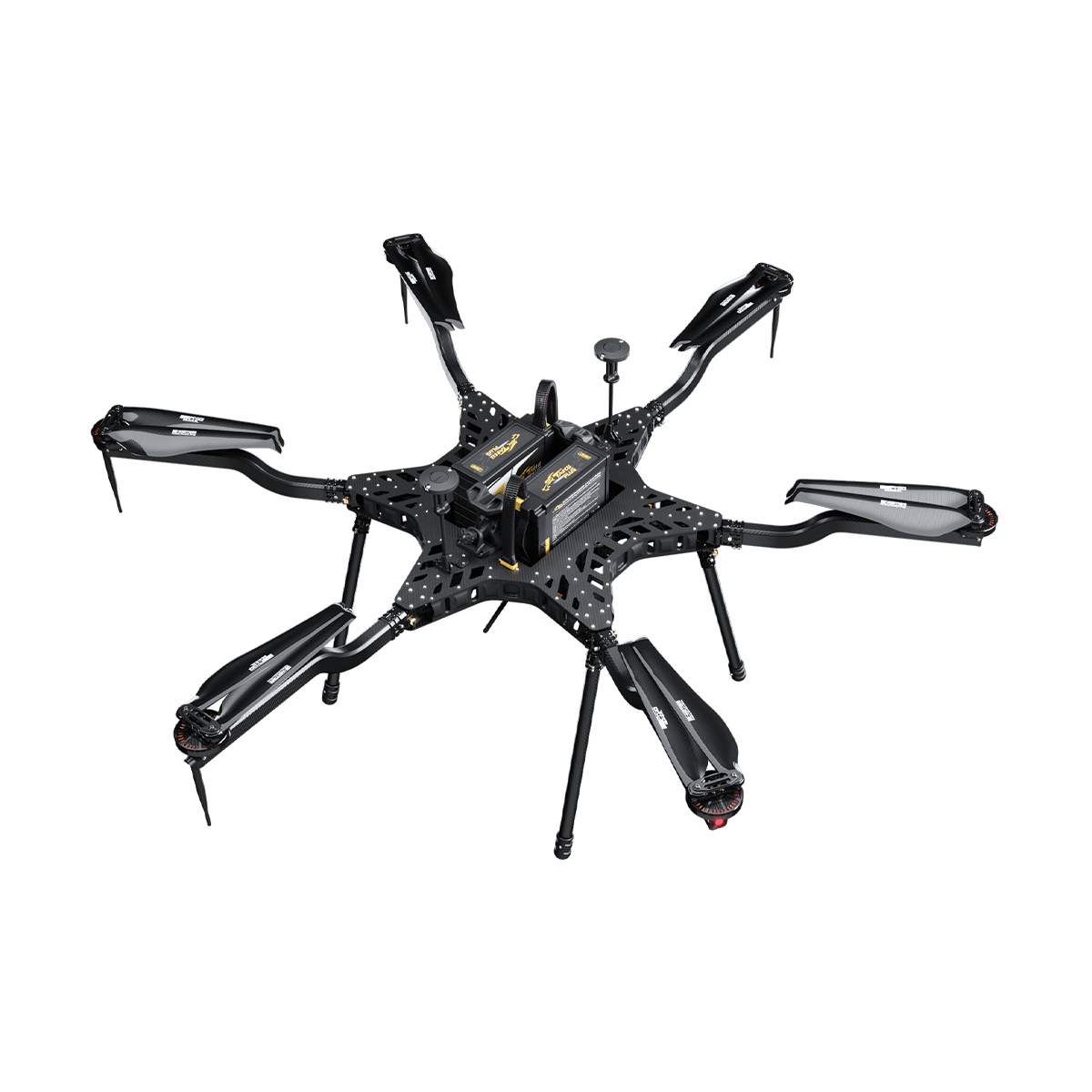
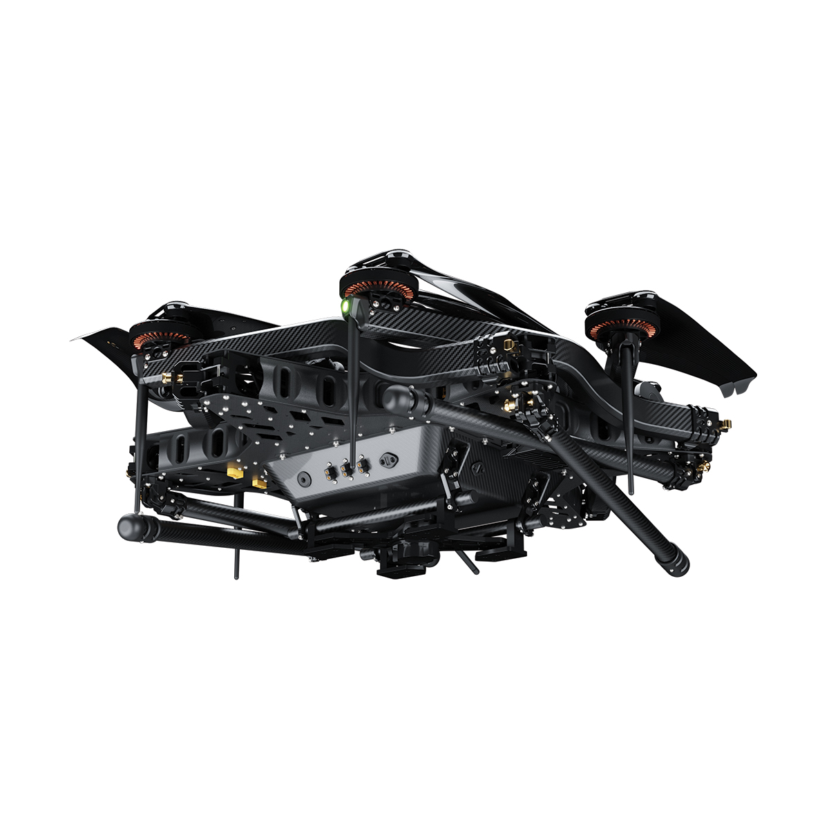
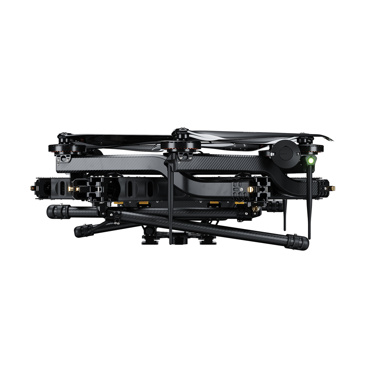
Harris Aerial H6 Electric Drone
Call for PriceHarris Aerial H6 Electric Drone
Revolutionizing Aerial Power. The Carrier H6 Electric is a long-duration, heavy-lift hexacopter optimized for payload versatility across demanding mission profiles. Designed for rapid field deployment, the platform comes ready to plug-and-play.
Smart 12S 16,000 mAh lithium polymer batteries deliver 48 minutes of unloaded endurance and field-swap in seconds. Convertible in minutes to Hybrid EFI or Hydrogen power formats — one airframe, three power systems.
Quick View -
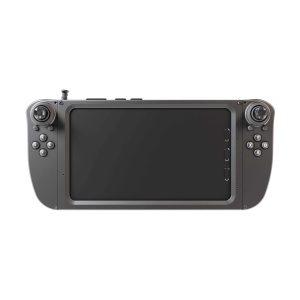
Flybotix AMO0179-00.00 UXV Ground Control Station
Call for Price Flybotix AMO0179-00.00 UXV Ground Control Station
Call for PriceFlybotix AMO0179-00.00 UXV Ground Control Station
The Tab 5 is a ground control station intended for commercial use, optimizing the user experience with its sleek and improved ergonomic design.
Quick View -

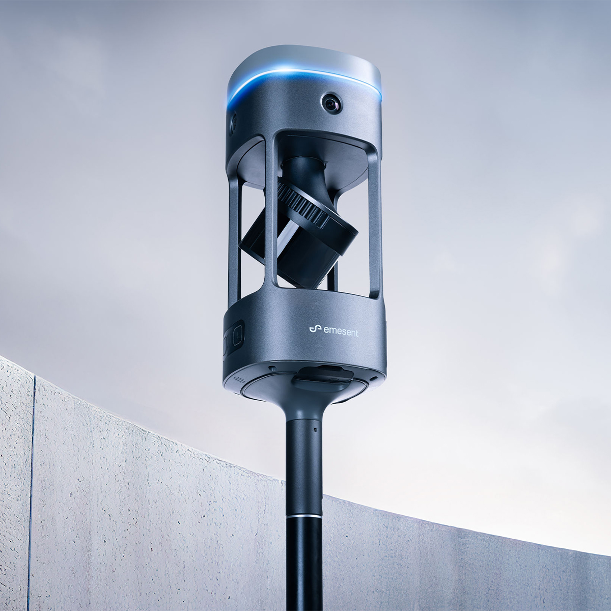
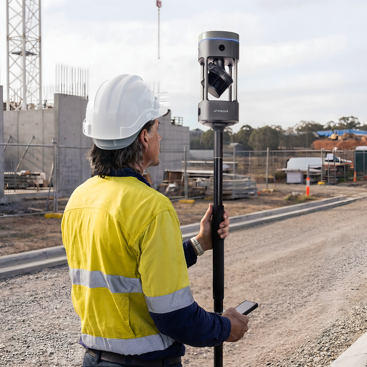
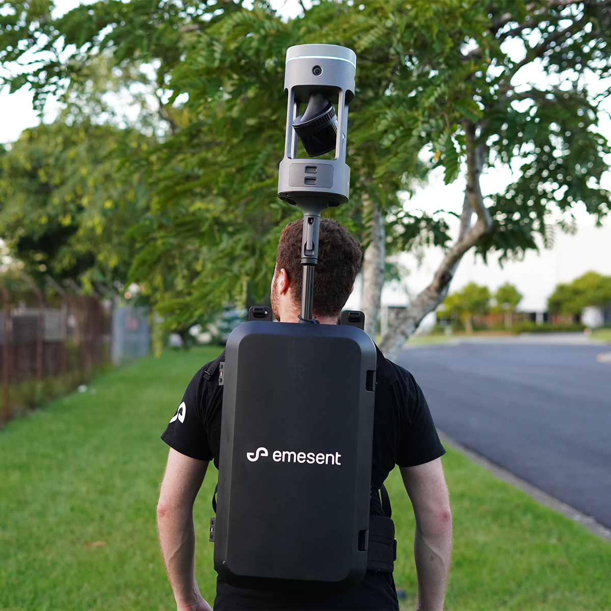
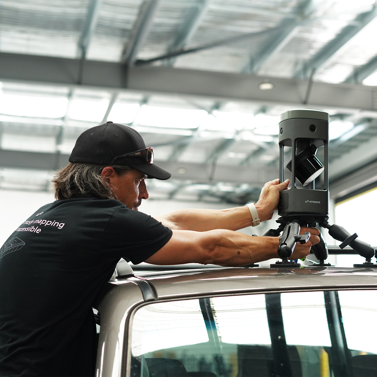
Emesent E00-GX1 RTK SLAM Scanner
Call for Price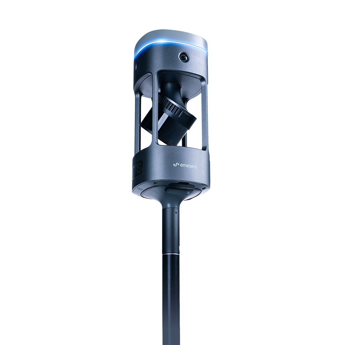


Emesent E00-GX1 RTK SLAM Scanner
Call for PriceEmesent E00-GX1 RTK SLAM Scanner
Reliable, highly accurate SLAM that works in any environment.
Emesent GX1 is the world’s most accurate RTK SLAM scanner, delivering 5-10mm global accuracy with integrated premium RTK georeferencing.Quick View -

SPH Engineering IS-EL-ECT-D24S EchoLogger Echo Sounder
Call for Price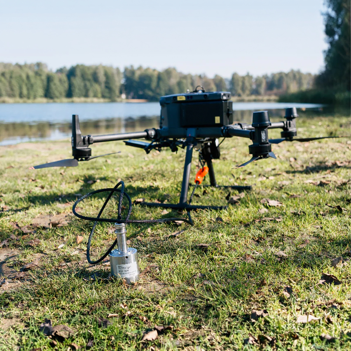
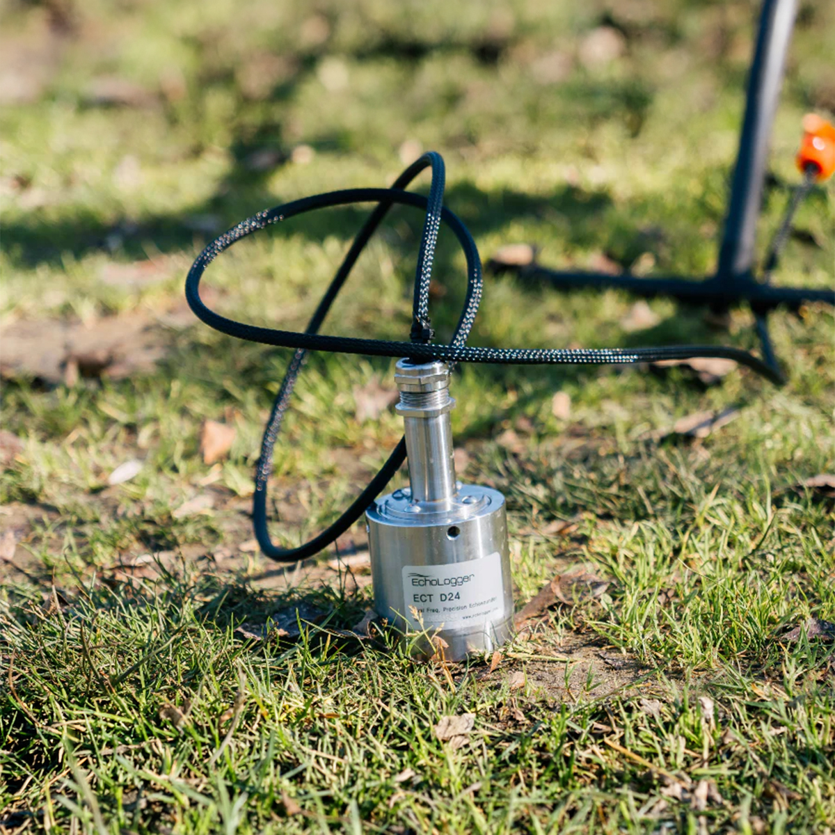

SPH Engineering IS-EL-ECT-D24S EchoLogger Echo Sounder
Call for PriceSPH Engineering IS-EL-ECT-D24S EchoLogger Echo Sounder
EchoLogger ECT D24S dual-frequency echo sounder with tilt and temperature sensor, harness, housing, and mountings for the drone.
Quick View -

SPH Engineering IS-EL-ECT-D052S EchoLogger Echo Sounder
Call for Price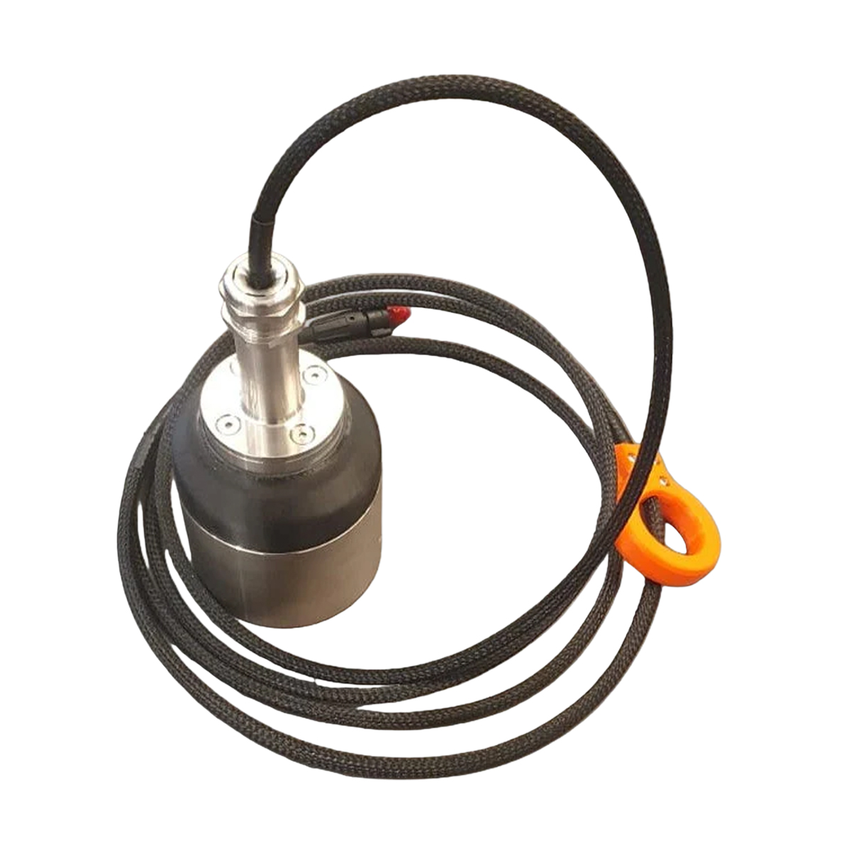
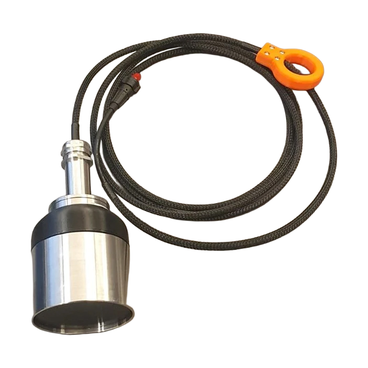
SPH Engineering IS-EL-ECT-D052S EchoLogger Echo Sounder
Call for PriceSPH Engineering IS-EL-ECT-D052S EchoLogger Echo Sounder
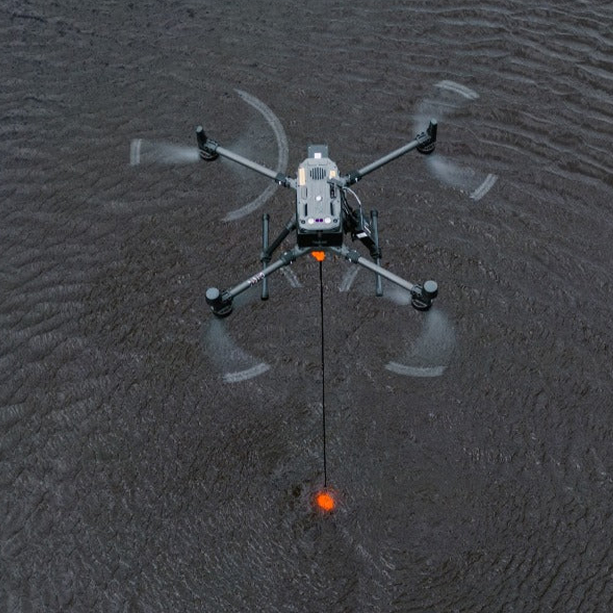
EchoLogger ECT D052S dual-frequency echo sounder with tilt and temperature sensor, harness, housing, and mountings for the drone.
Quick View -

SPH Engineering IS-EL-ECT-400S EchoLogger Echo Sounder
Call for Price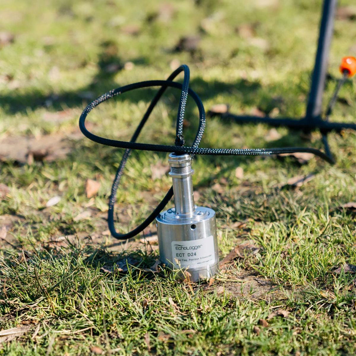
SPH Engineering IS-EL-ECT-400S EchoLogger Echo Sounder
Call for PriceSPH Engineering IS-EL-ECT-400S EchoLogger Echo Sounder
EchoLogger ECT 400S echo sounder with tilt and temperature sensor, harness, housing, and mountings for the drone.
Quick View -

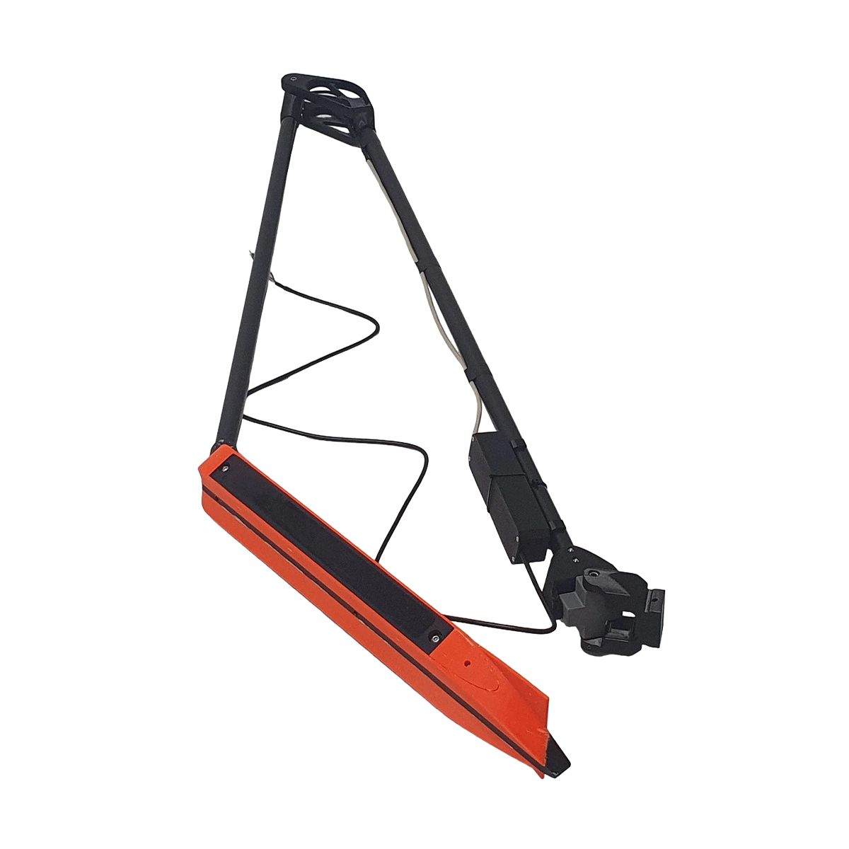
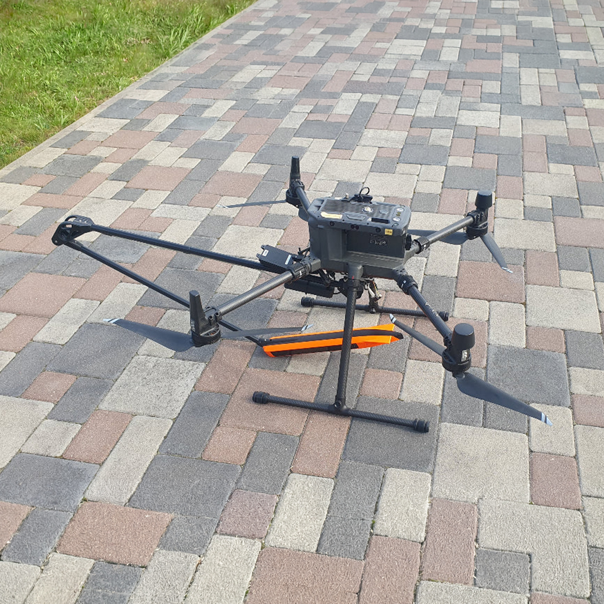
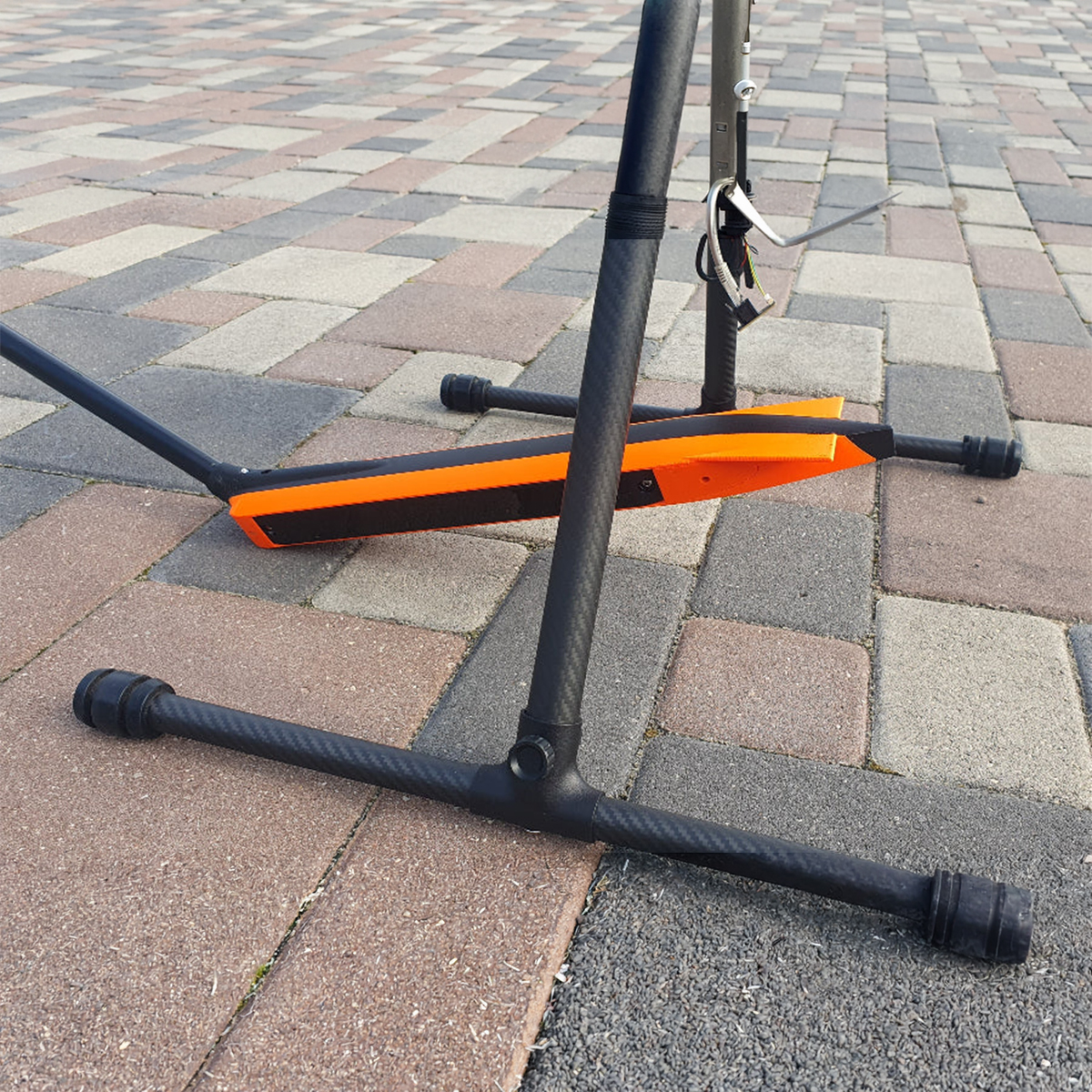
SPH Engineering EchoNIMBUS-SSS Side-scan Sonar Payload
Call for Price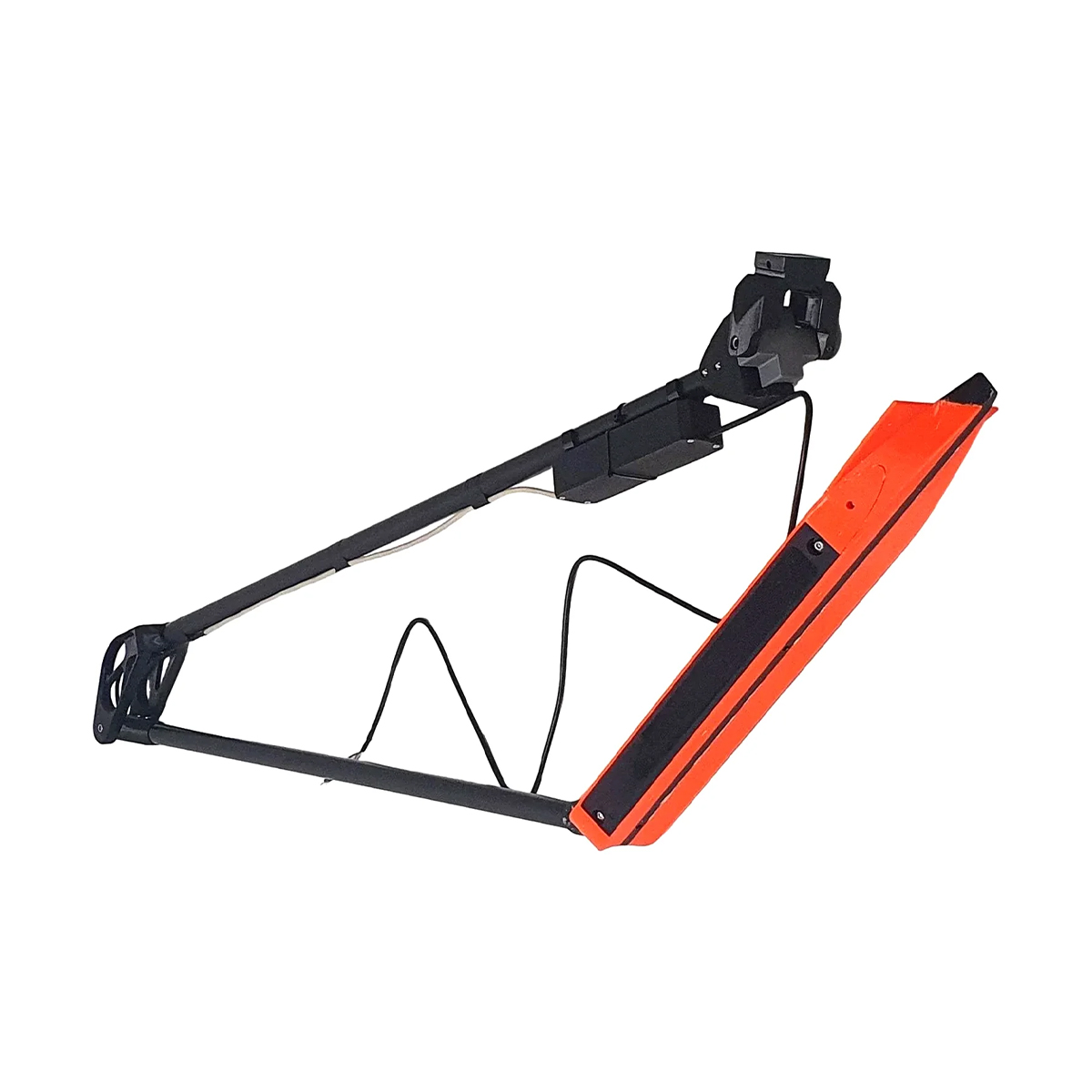



SPH Engineering EchoNIMBUS-SSS Side-scan Sonar Payload
Call for PriceSPH Engineering EchoNIMBUS-SSS Side-scan Sonar Payload
Omniscan 450SS is a traditional side-scan sonar with separate transducer and PCBA. It has a tall and very narrow fan beam for high along-track resolution and long range. The Omniscan 450 SS has a long 150 m range rating and 0.5 degree beam width for high along-track resolution. Cross track resolution is user settable up to 1/1200th of range.
Quick View -
SPH Engineering EchoNIMBUS-MBES Multibeam Echosounder Payload
Call for Price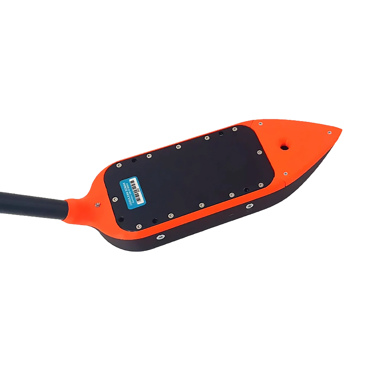

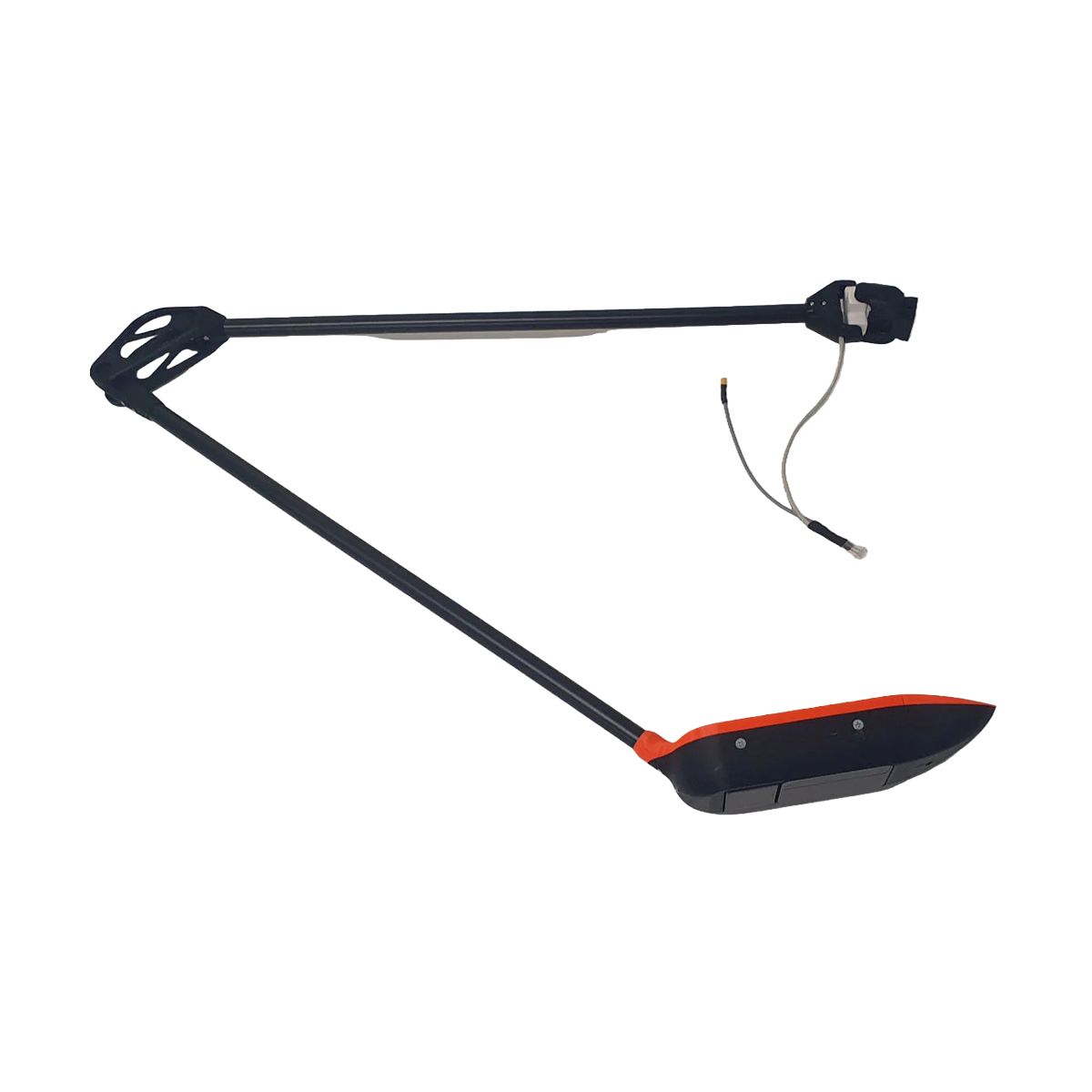

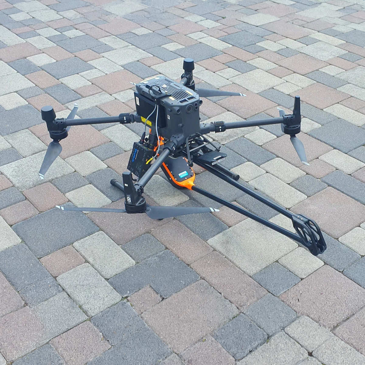
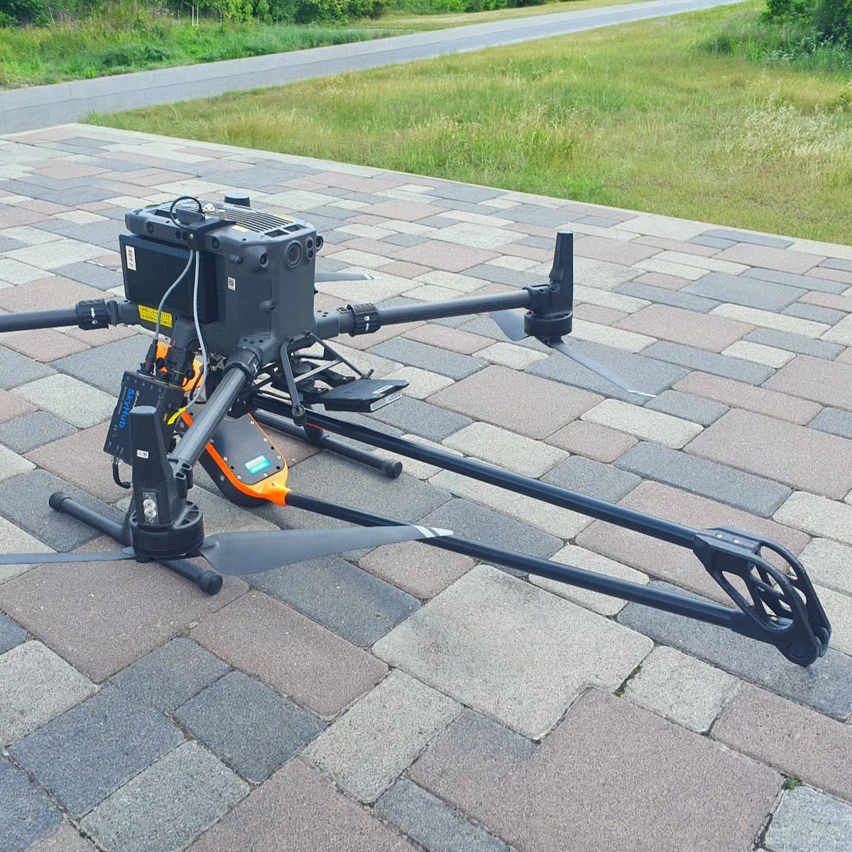
SPH Engineering EchoNIMBUS-MBES Multibeam Echosounder Payload
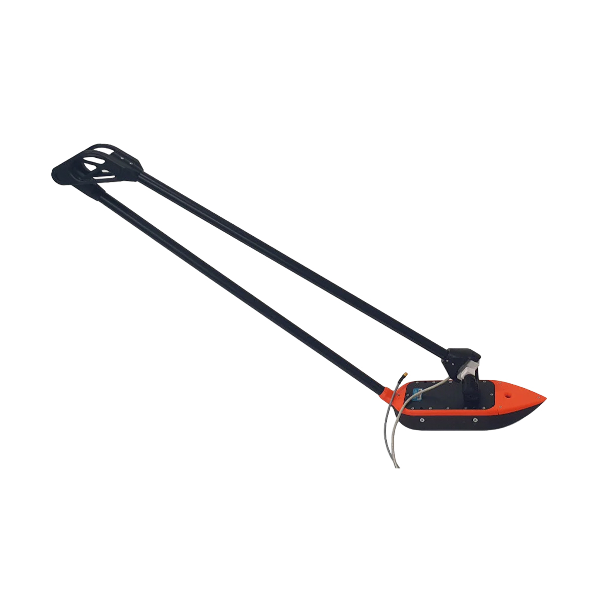
Call for PriceEchoNIMBUS-MBES – Drone-Based Multibeam Echosounder
The EchoNIMBUS-MBES integrated with SPH Engineering’s UgCS SkyHub system transforms UAVs into efficient bathymetric survey tools. Mounted beneath a drone and operated from the air, the EchoNIMBUS-MBES captures precise 3D bathymetric data over shallow and difficult-to-access waters, such as reservoirs, rivers, ponds, or flooded areas. This drone-based solution eliminates the need for manned boats, providing a safer and faster workflow. Each flight collects dense bathymetric coverage for high-fidelity bottom modeling, making it ideal for engineering, environmental, and hydrographic applications.
Quick View -
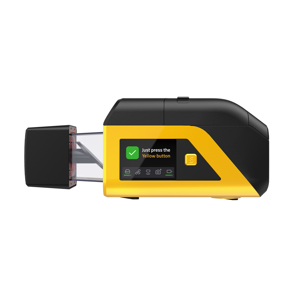
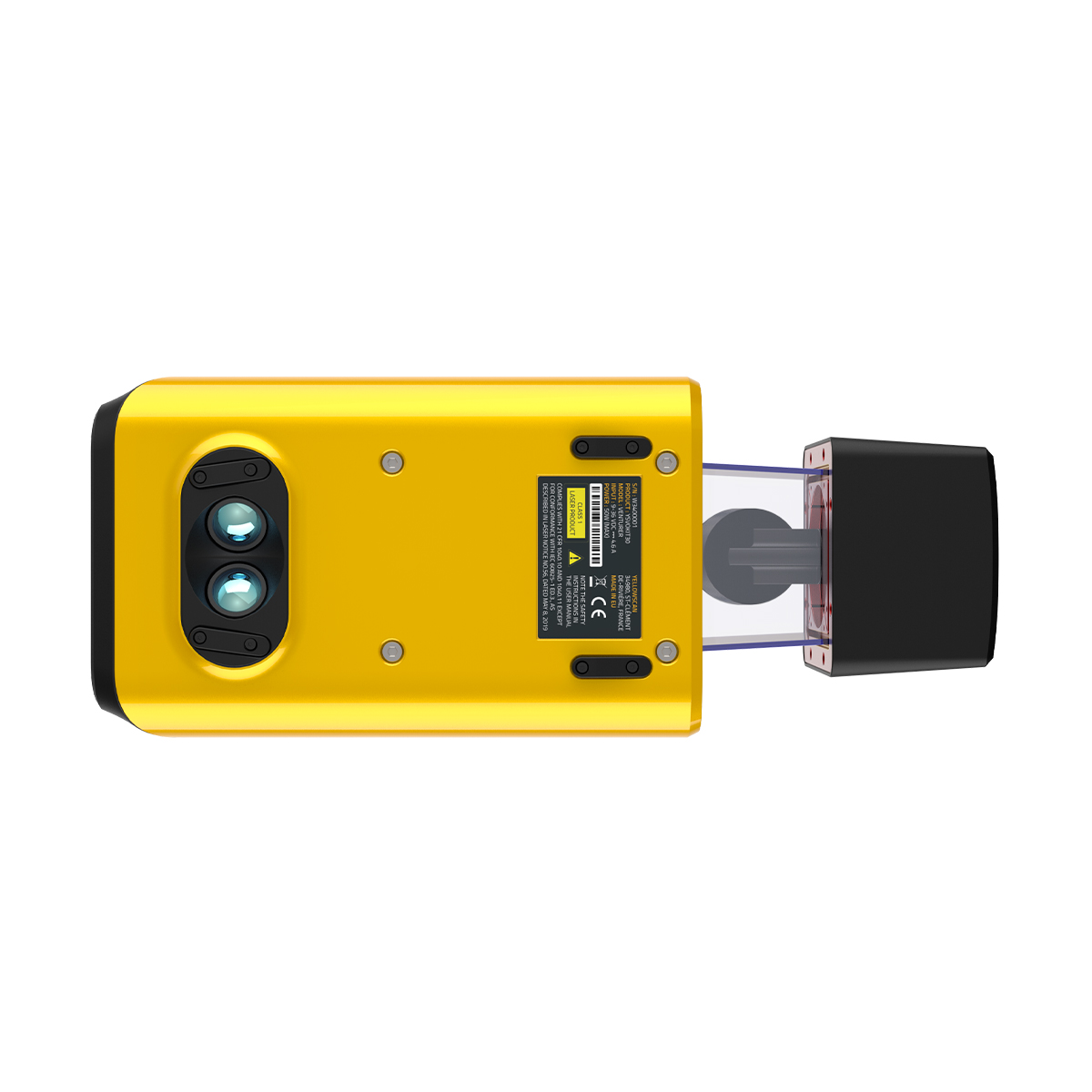
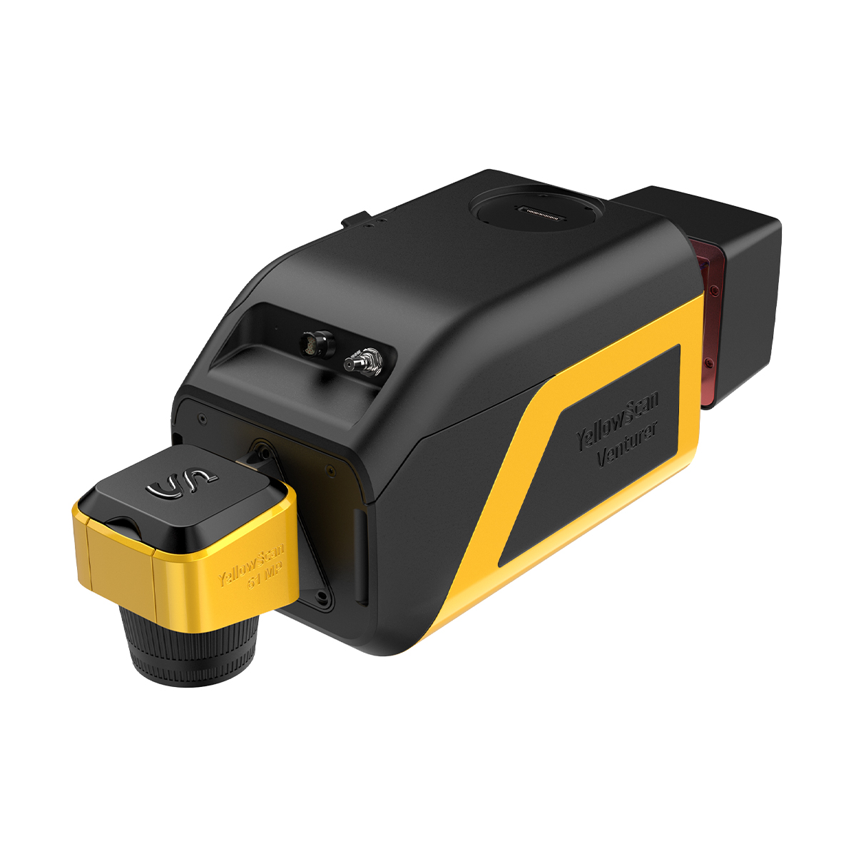
YellowScan Venturer YSVENTKIT-AP LiDAR System
Call for Price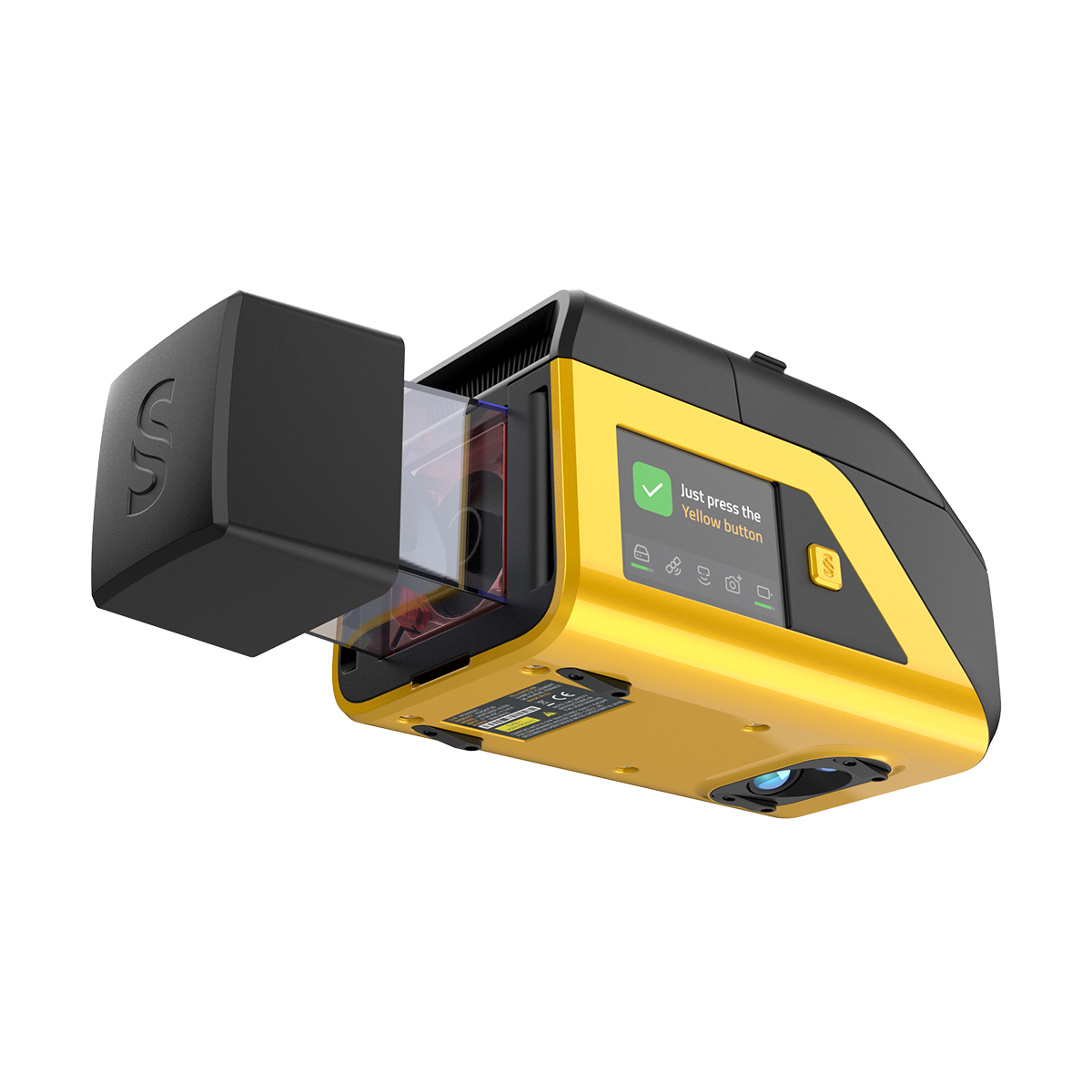
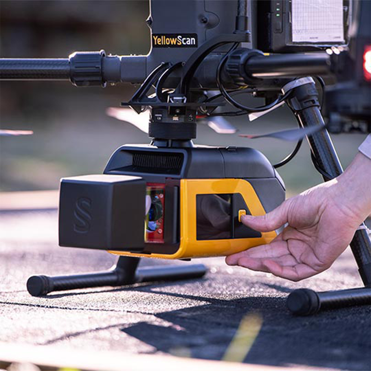
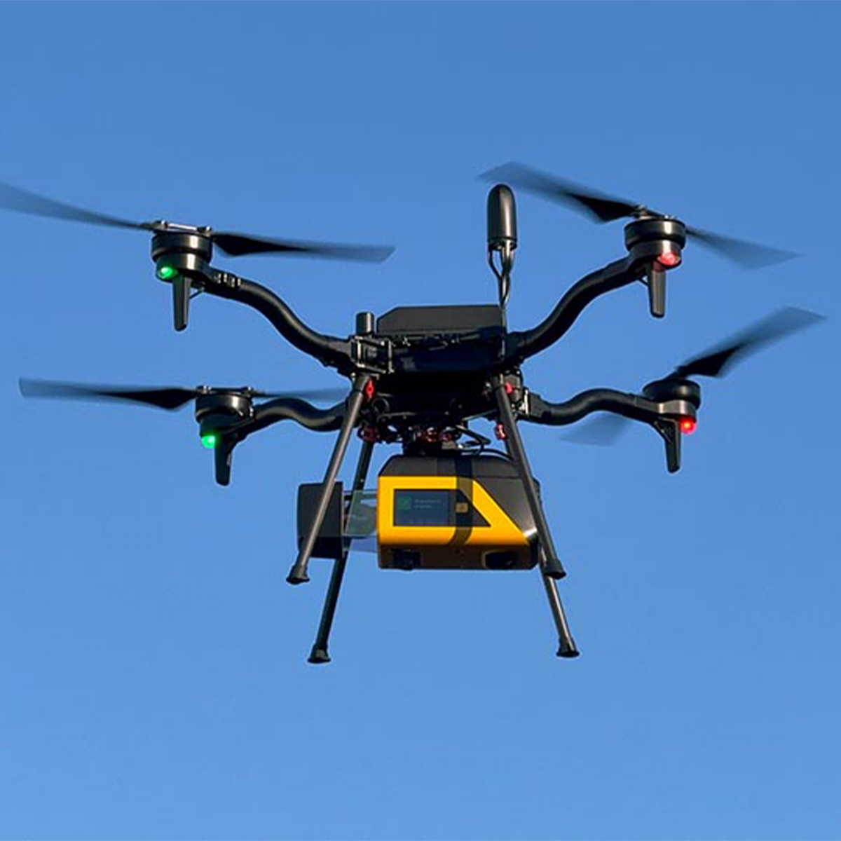
YellowScan Venturer YSVENTKIT-AP LiDAR System
Call for PriceYellowScan Venturer YSVENTKIT-AP LiDAR System
Confidence When it Matters Most
Built for survey and government missions where there is no second chance to fly, the YellowScan Venturer is an NDAA-compliant, survey-grade LiDAR system designed to remove uncertainty in the field. It gives teams confidence at takeoff, reliable results and full control over locally processed data through our dedicated CloudStation software.
Quick View -
Trimble Roadworks Paving Control Platform for Asphalt Compactors
Call for Price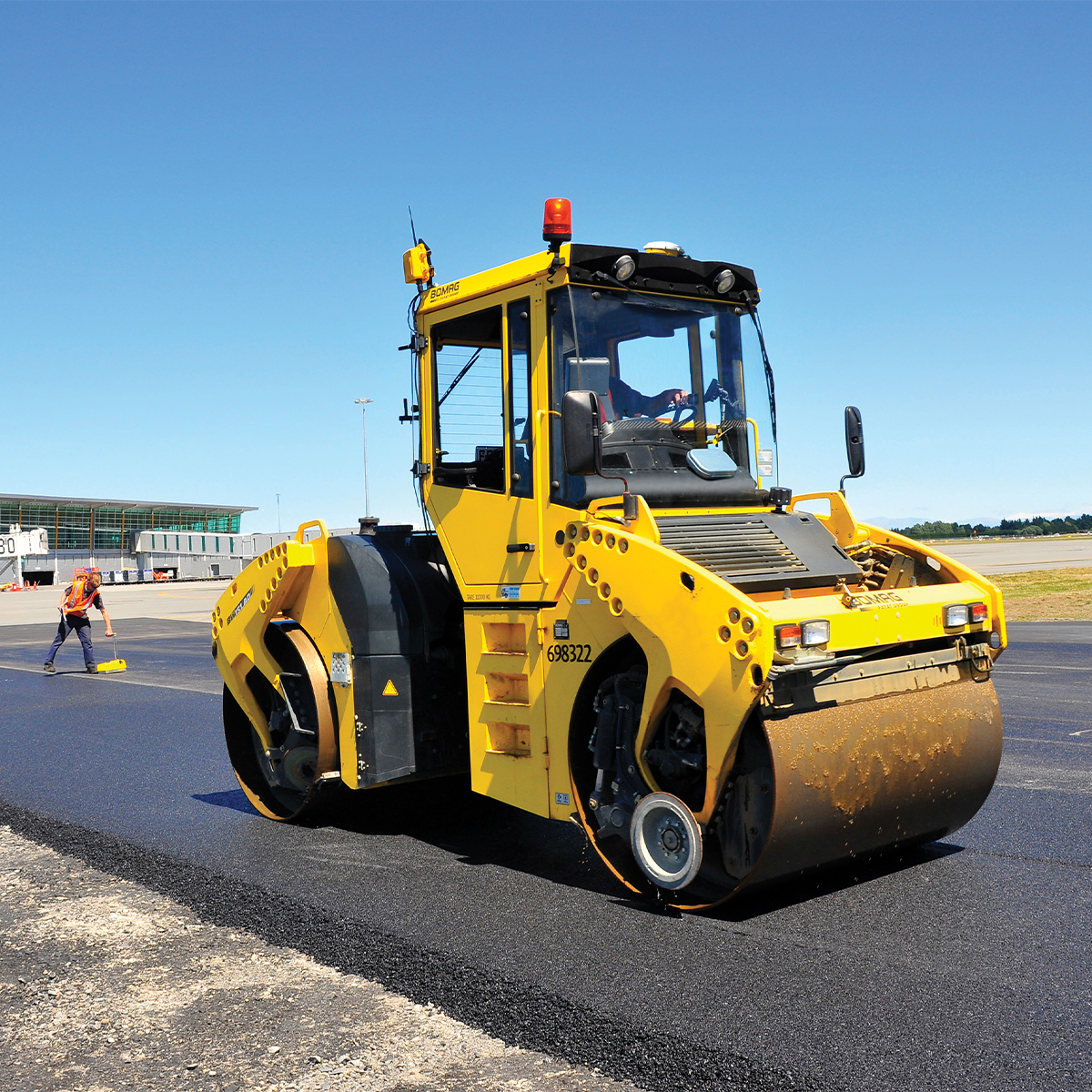

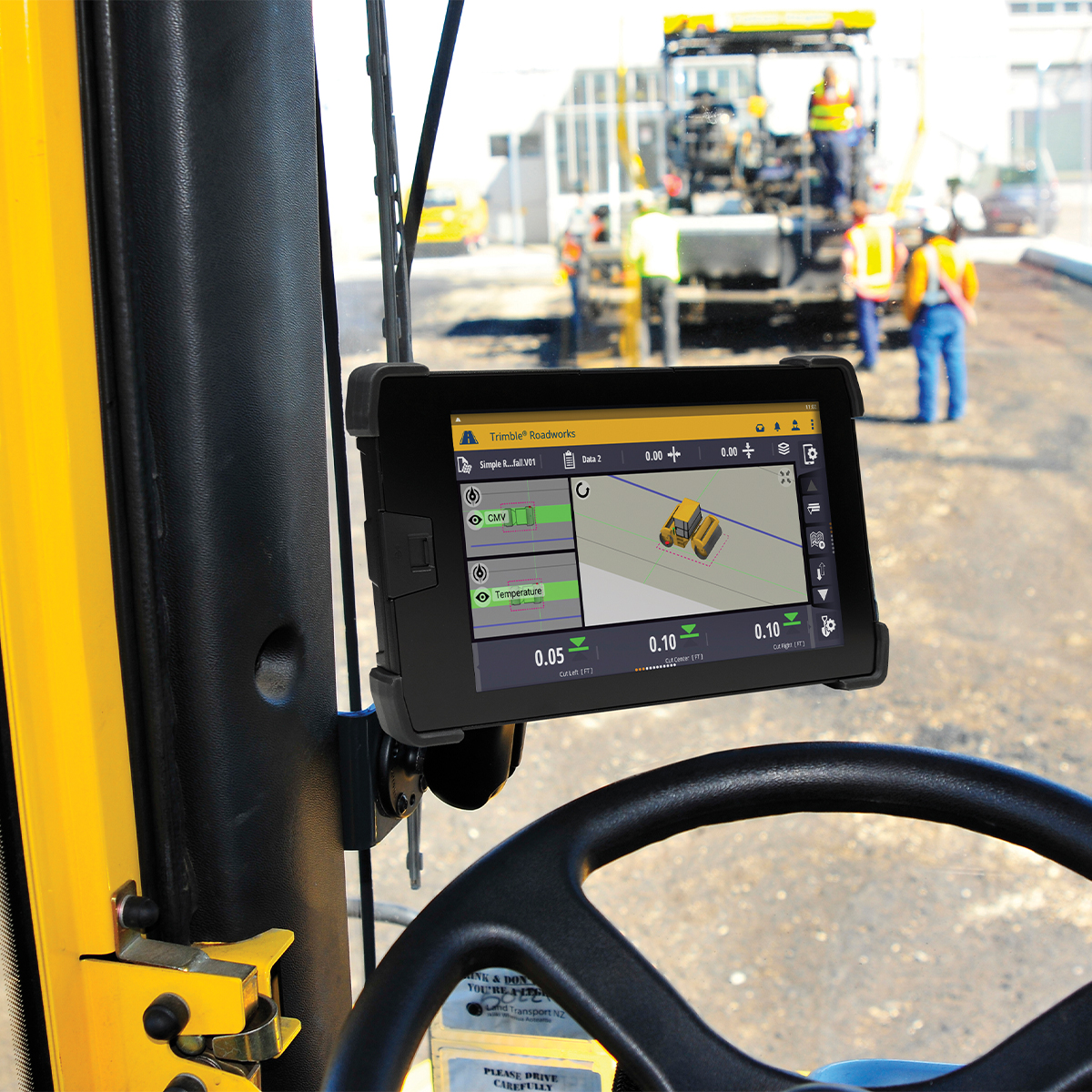
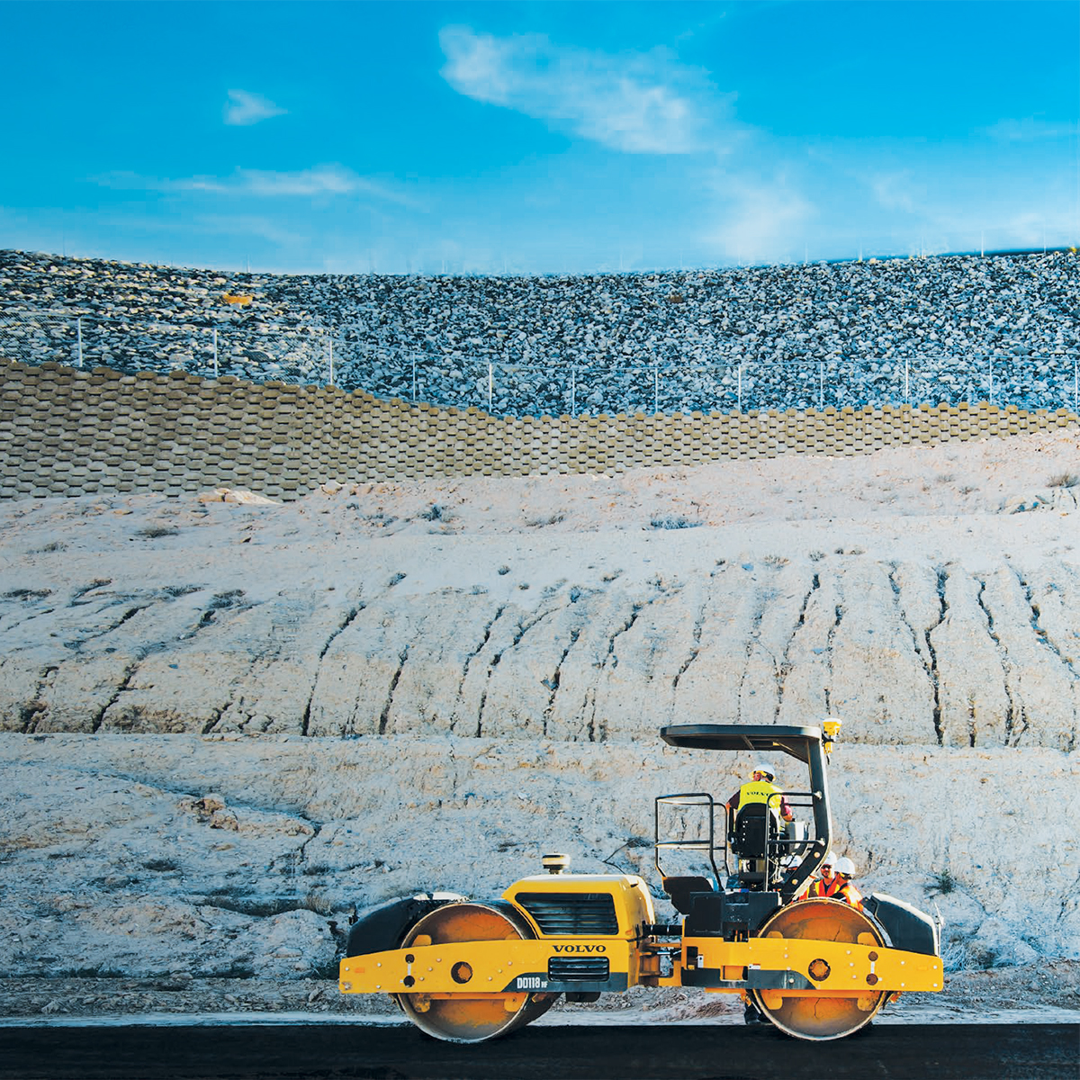
Trimble Roadworks Paving Control Platform for Asphalt Compactors
Call for PriceONLY AVAILABLE FOR DELIVERY IN ALASKA.
Trimble Roadworks Paving Control Platform for Asphalt Compactors
Trimble® Roadworks Paving Control Platform for Asphalt Compactors is the next generation 3D paving control system designed to help operators of all levels improve the speed, accuracy and ease of asphalt compaction.
Quick View