


Quantum Systems 4260574665982 Trinity Pro eVTOL Fixed-wing Mapping Drone
Call for Price
Quantum Systems 4260574665982 Trinity Pro eVTOL Fixed-wing Mapping Drone
Designed to Evolve
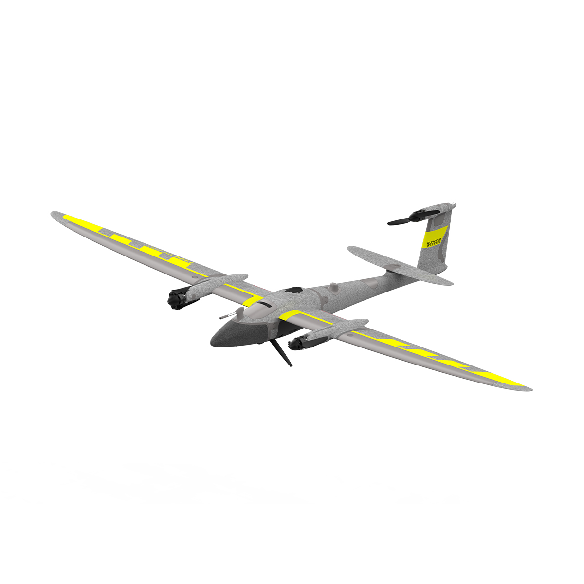
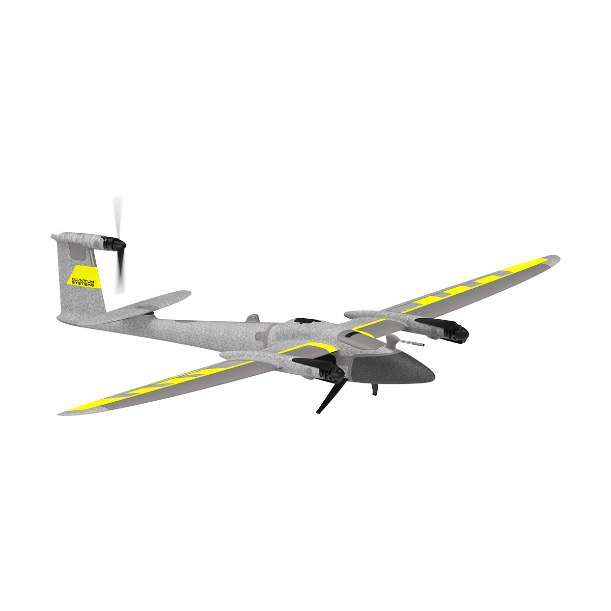
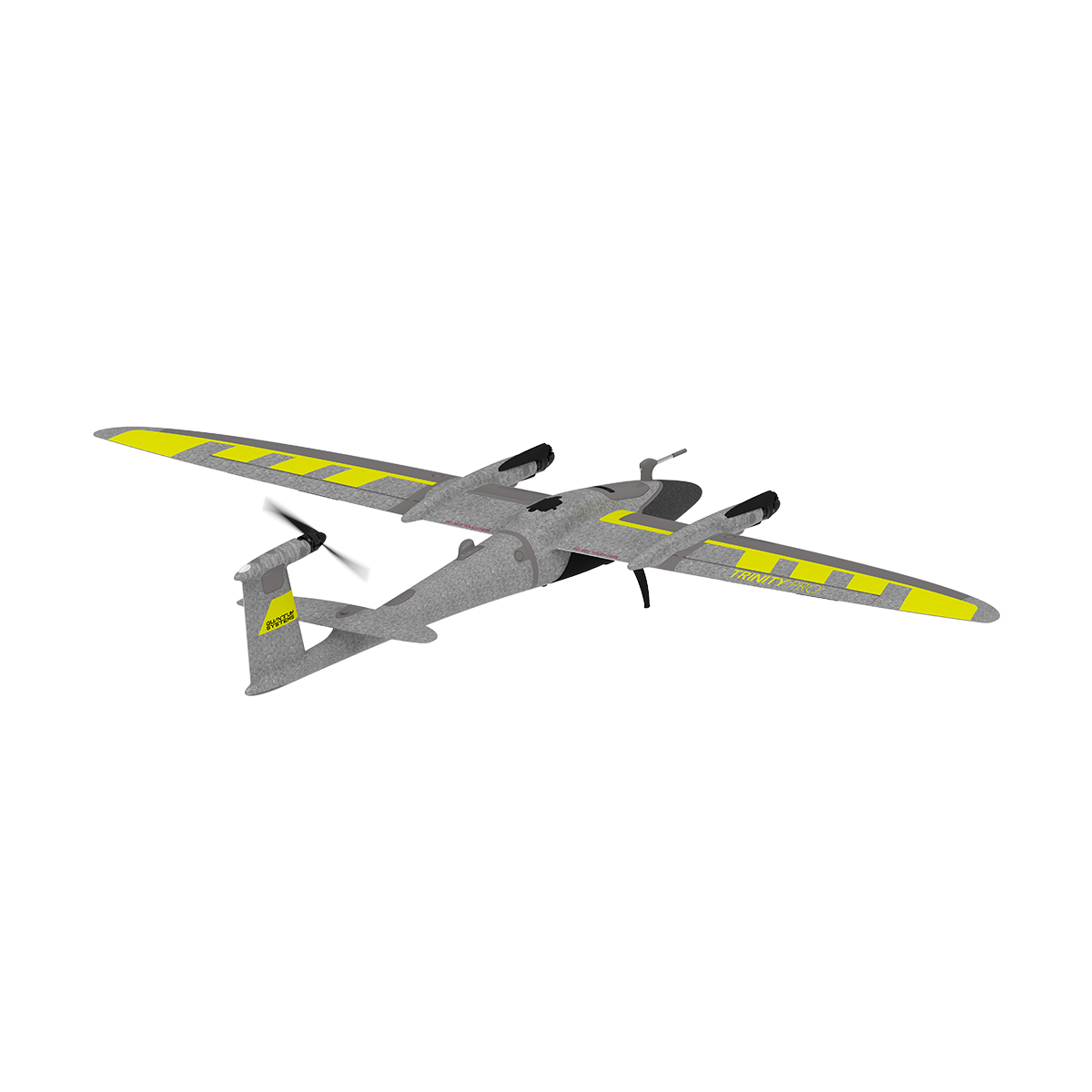
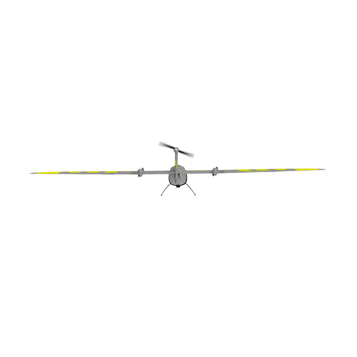
Trinity Pro is a future-proof mapping solution, built on a reliable, easy-to-use and safe platform. It is designed to adapt to changing requirements with evolving capabilities, and to accelerate decision making through aerial data. As technology evolves, so will the Trinity Pro. It integrates the latest Quantum-Skynode autopilot. This high performance product provide increased computing power and internal storage, as well as connectivity and AI readiness onboard the UAV.

Quantum Systems 4260574665982 Trinity Pro eVTOL Fixed-wing Mapping Drone
Next-generation eVTOL Fixed-wing Mapping Drone
A future-proof, reliable and easy to use mapping solution.
Trinity Pro is designed to adapt to changing requirements, evolve in capabilities, and accelerate decision making through aerial data. Future integrations like AI capabilities give new insights and help professionals in various industries to make more informed decisions and drive their business forward.
Ready for tomorrow.
Add Trinity Pro to your portfolio and it will take you into the future. The platform has proven its performance, reliability and accuracy since market launch in 2018. The new Trinity Pro incorporates the latest technology including a new autopilot, making it ready for the future.
Future-proof, reliable and easy-to-use professional mapping solution.
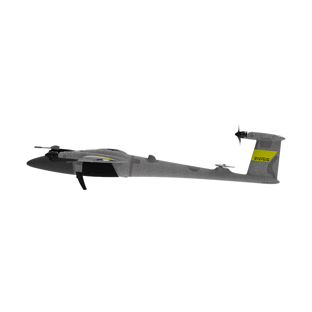
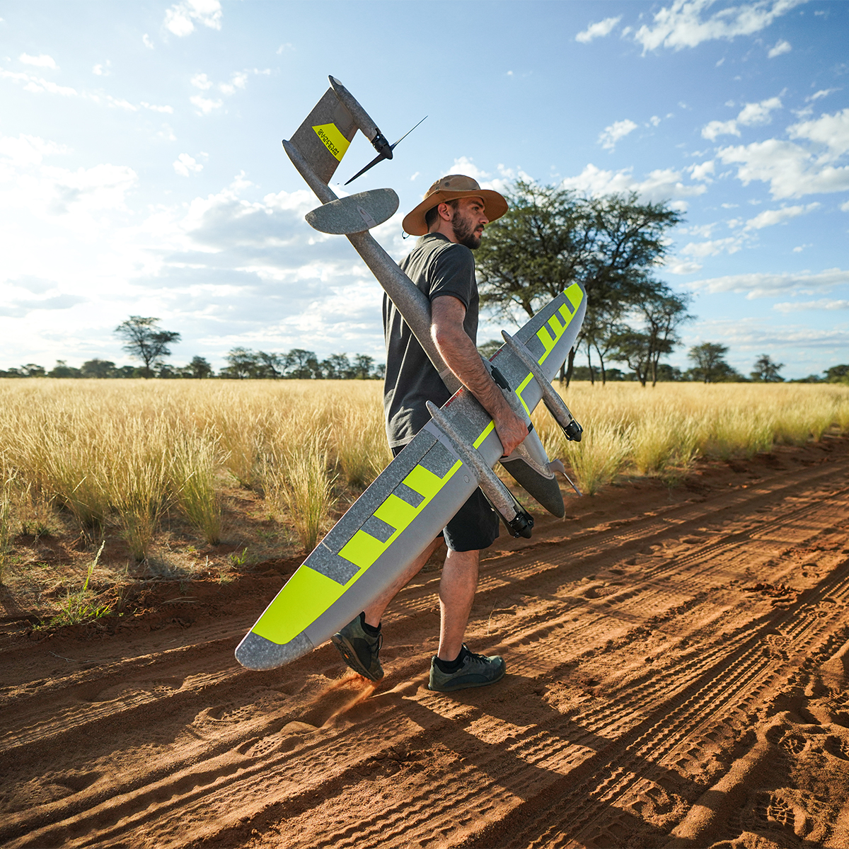
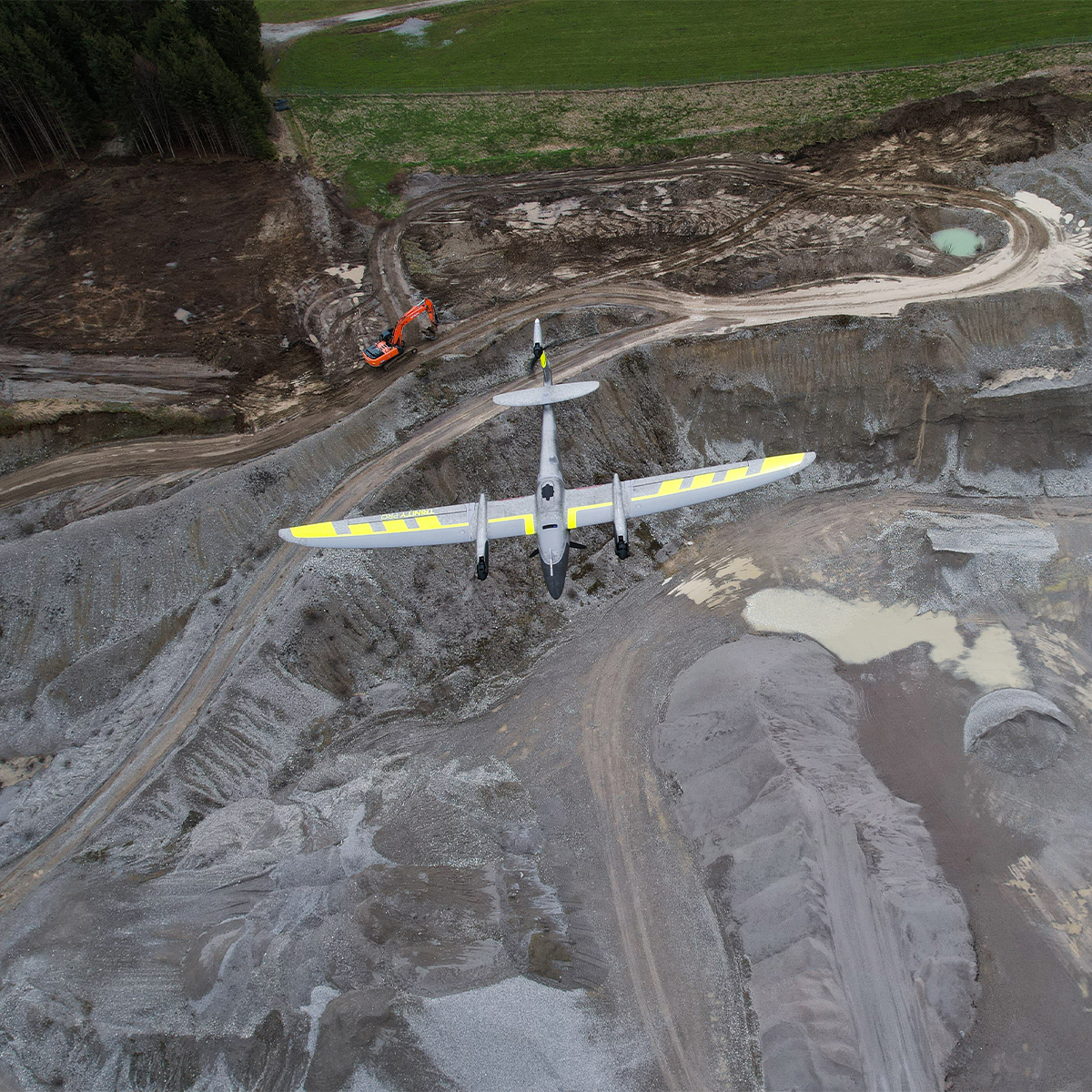
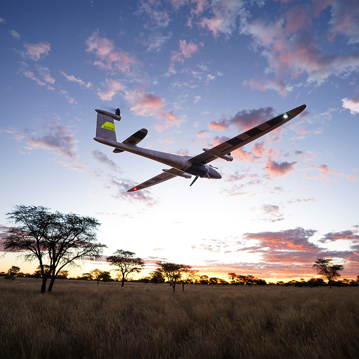
Trinity Pro is our flagship eVTOL fixed-wing drone revolutionizing aerial mapping. Combining the agility of multi-rotors with the efficiency of fixedwings, Trinity Pro covers vast areas efficiently, ensuring extended flight times and enhanced data capture. Equipped with the Quantum-Skynode autopilot and Linux mission computer, it seamlessly integrates with advanced sensors and AI, optimizing data insights. Its modular design enables quick setup in under two minutes by a single operator. With over 115,000 flight hours worldwide, Trinity Pro sets a new standard in reliability and performance for diverse industry applications, including mining, cadastre forestry and agriculture.
Technical Specifications:
- Wingspan
2.394 m - Data Link Range
5 - 7.5 km - Cruise Speed
17 m/s (Optimal) - Max. Coverage
100 km or 700 ha - Maximum Take-Off Weight (MTOW)
5.75 kg - Data Link Frequency
2.4 GHz - IP Rating
IP55 - Maximum Take-off Altitude
4800 m - Flight Time
90 Minutes¹ - Packing Size
100.2 x 83 x 27 cm (39.4 x 32.7 x 10.6 in) - Operating Temperature
-12 °C to +50 °C - Wind Tolerance
11 m/s in Hover Phase 14 m/s During Cruise²
1. Subject to export regulation. Limited to 59 min by default.
2. Subject to export regulation. Limited to 12.8 m/s or 25 kn by default.
Additional information
| Weight | 15 lbs |
|---|---|
| Dimensions | 35 × 32 × 13 in |
Related products
-

Autel Robotics EVO II Pro 6K RTK V3 Rugged Bundle
Call for Price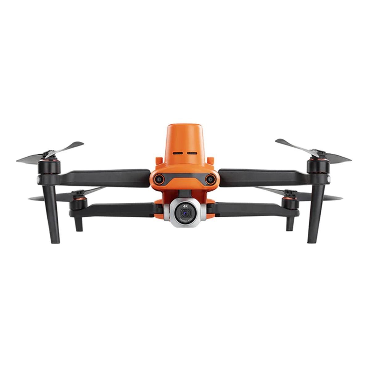

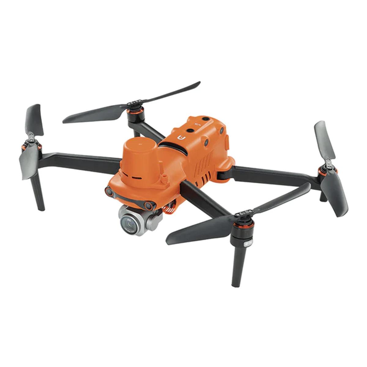

Autel Robotics EVO II Pro 6K RTK V3 Rugged Bundle
Call for PriceQuick View -
Gremsy Damping Plate Pro
Call for Price
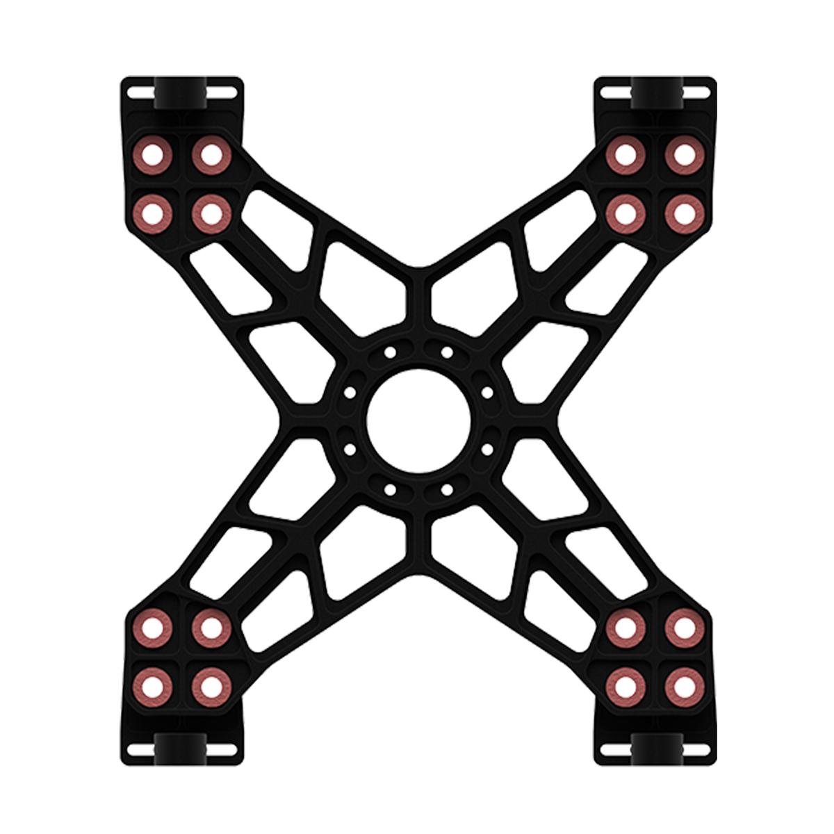
Gremsy Damping Plate Pro
Call for PriceQuick View -
Gremsy T3V3 Canbus Cable for DJI A3/N3
Call for Price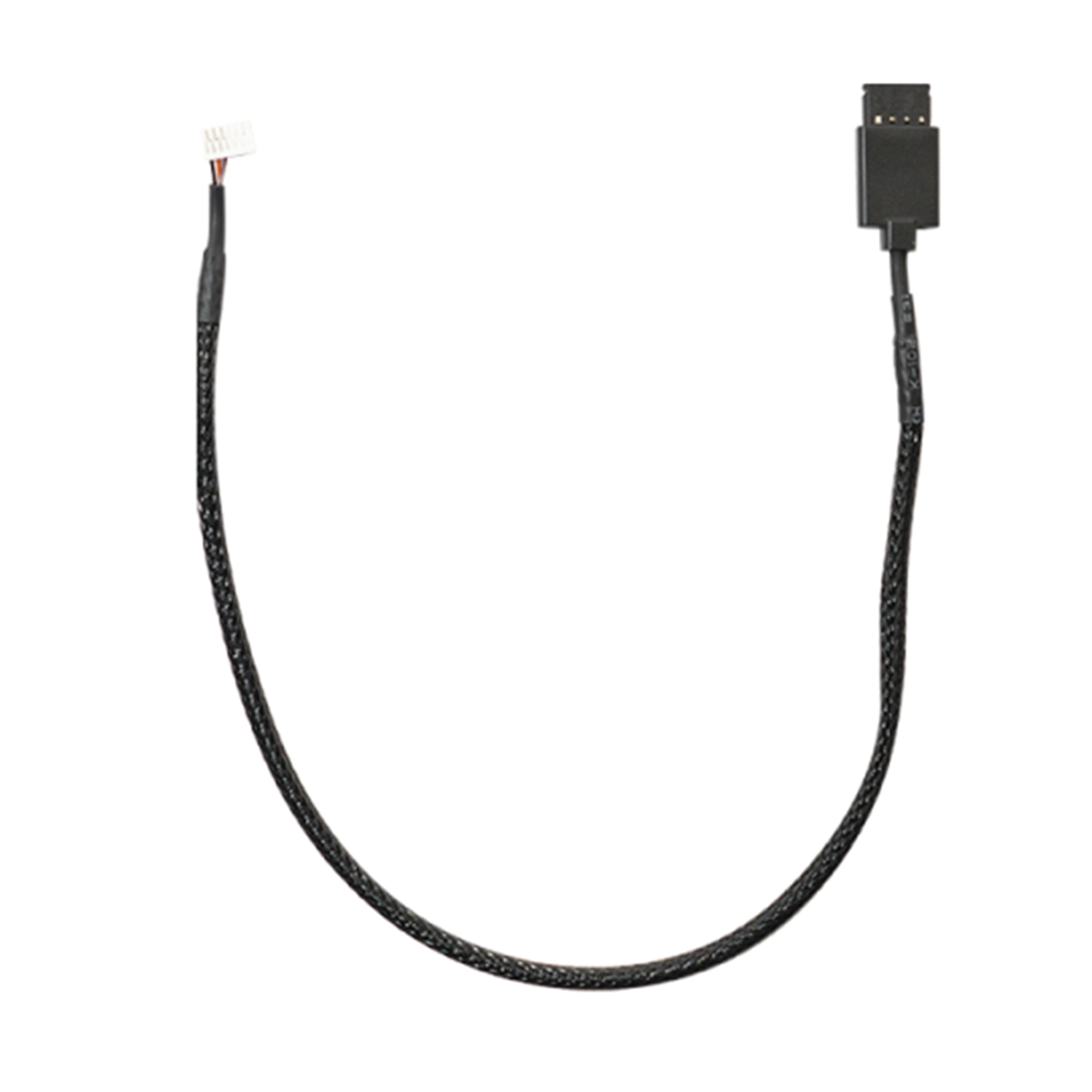
Gremsy T3V3 Canbus Cable for DJI A3/N3
Call for PriceQuick View -
Gremsy Standard Damping Plate
Call for Price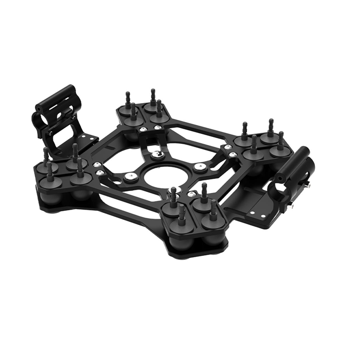
Gremsy Standard Damping Plate
Call for PriceQuick View