")
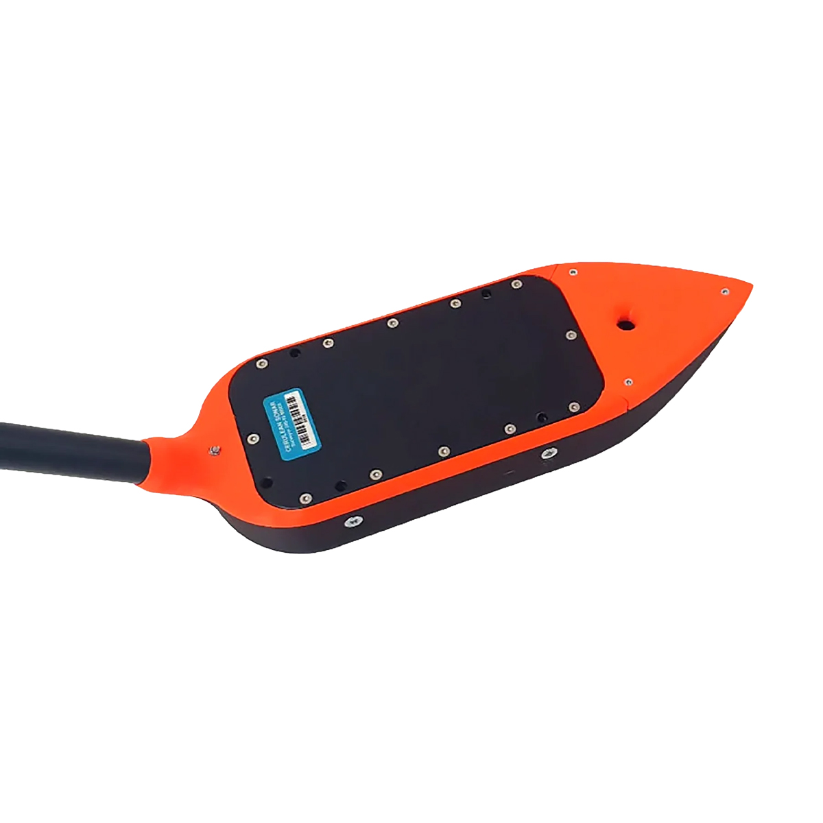
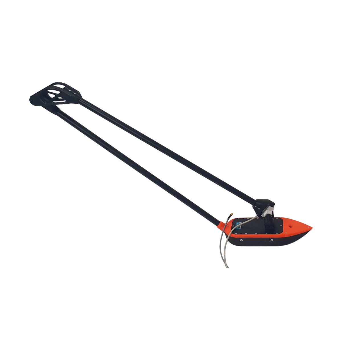
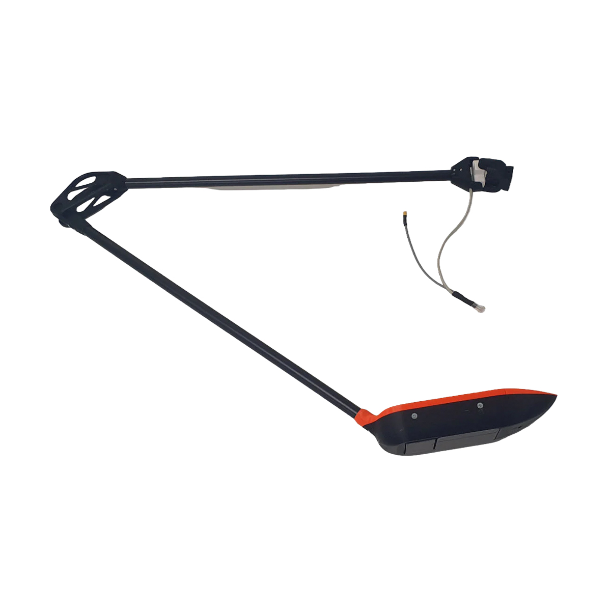
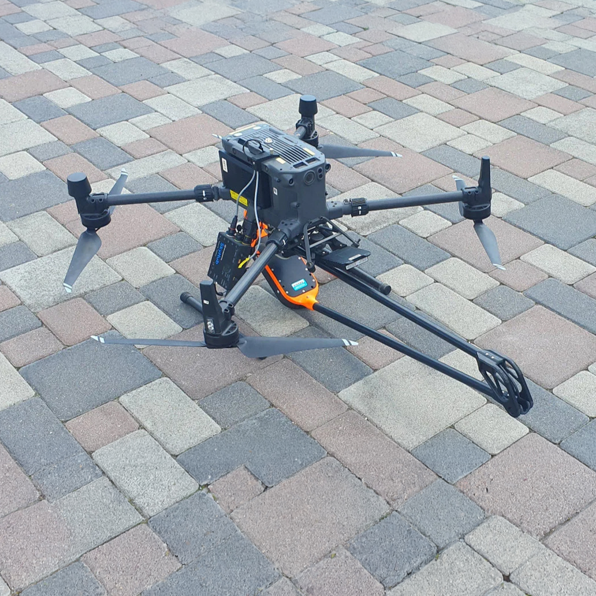
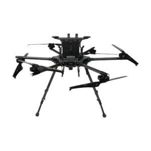
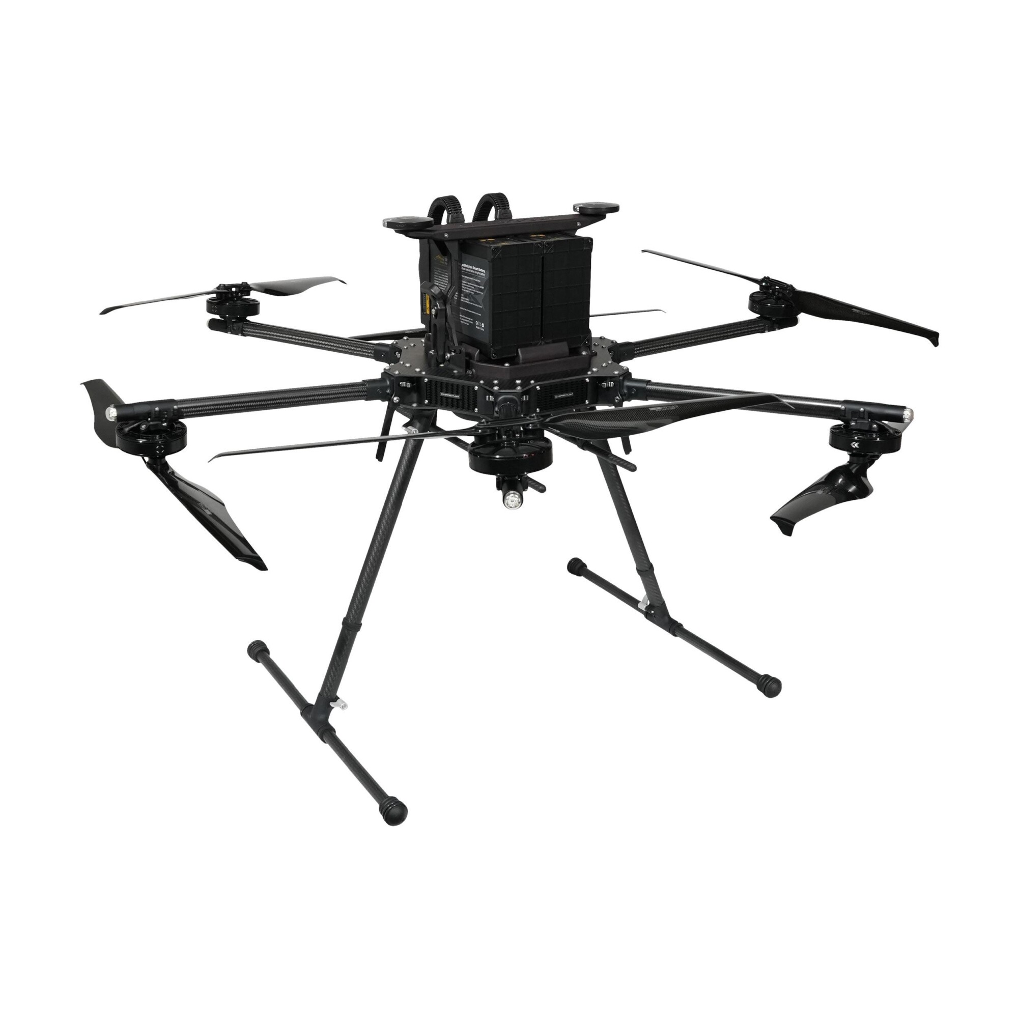
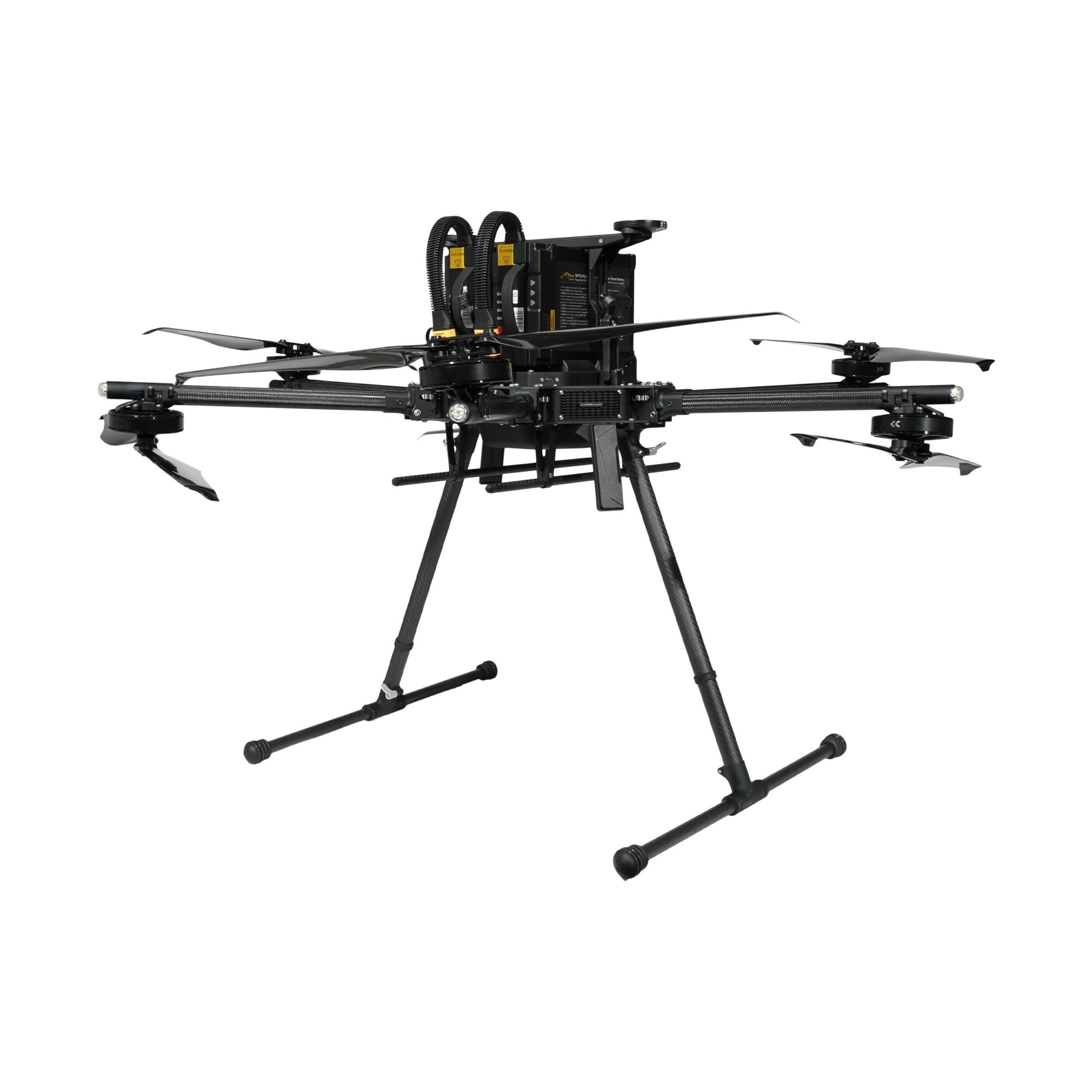
SPH Engineering EchoNIMBUS-MBES Multibeam Echosounder Payload
Call for Price
EchoNIMBUS-MBES – Drone-Based Multibeam Echosounder
The EchoNIMBUS-MBES integrated with SPH Engineering’s UgCS SkyHub system transforms UAVs into efficient bathymetric survey tools. Mounted beneath a drone and operated from the air, the EchoNIMBUS-MBES captures precise 3D bathymetric data over shallow and difficult-to-access waters, such as reservoirs, rivers, ponds, or flooded areas. This drone-based solution eliminates the need for manned boats, providing a safer and faster workflow. Each flight collects dense bathymetric coverage for high-fidelity bottom modeling, making it ideal for engineering, environmental, and hydrographic applications.


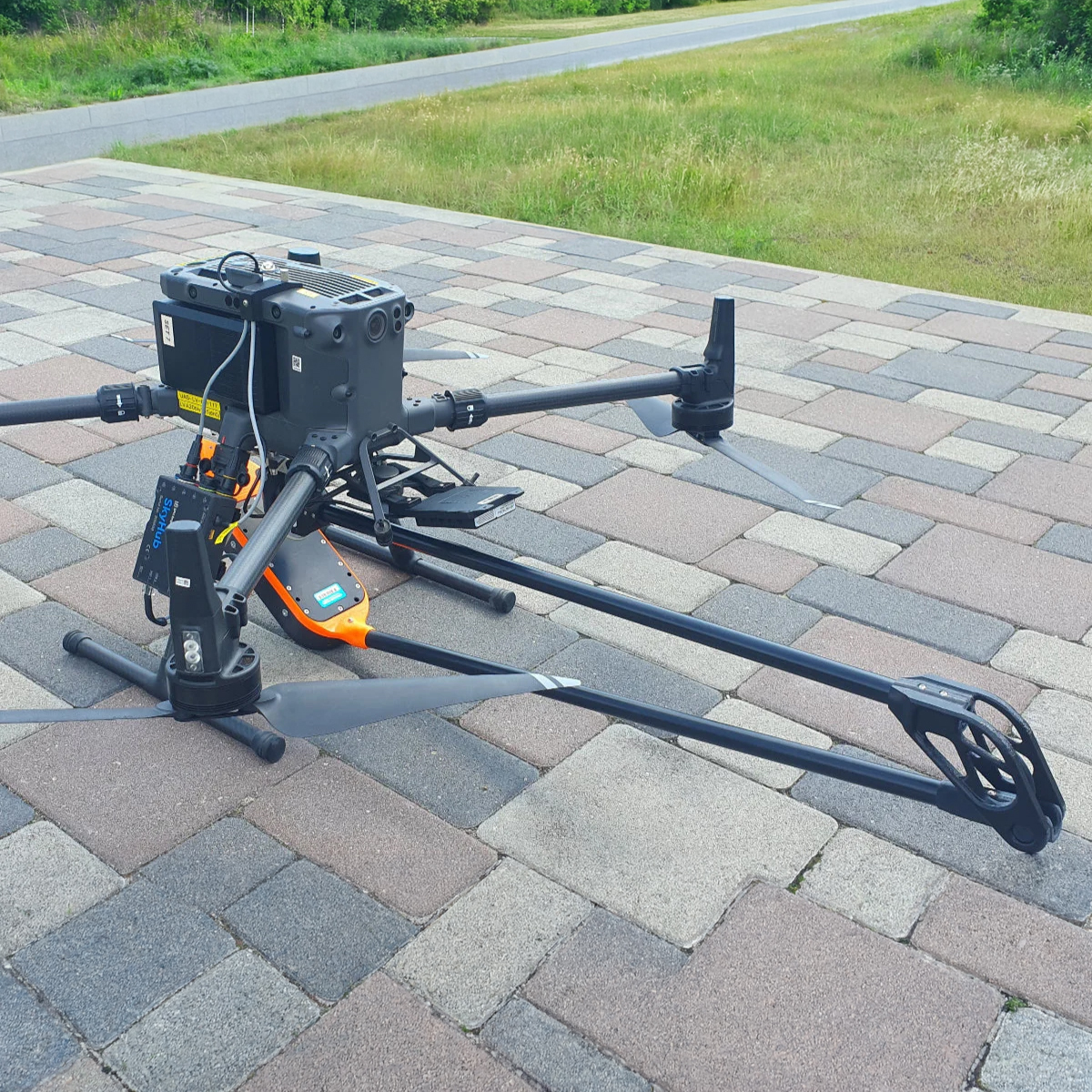


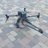
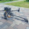
SPH Engineering EchoNIMBUS-MBES Multibeam Echosounder Payload
Main Features:
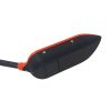
- 240 kHz multibeam sonar with 16 beams for high-definition bathymetry
- Fully integrated with SkyHub – Drone onboard computer
- Real-time depth measurements through UgCS Custom Payload Monitor
- Compact and lightweight design optimized for drone operations
- Automated data logging and geotagging
- Rapid deployment
- Suitable for tailings ponds, stormwater basins, hard-to-access sites, small reservoirs, and coastal areas where survey boat mobilization is too high.
System Components:
- Surveyor 240/16 MBES sensor
- SkyHub onboard computer
- UgCS EXPERT Software License
- BeamworX software for data processing and point cloud generation
- Power and data cables, mounting kit, user manual
- Set of trainings
Best Conditions for Operation:
- Still and slow-moving waters.
- Stable conditions are required for accurate readings.
- Fast-flowing rivers and creeks can be surveyed using the Zig-Zag flight pattern.
Workflow:
Plan & execute flight using UgCS and True Terrain Following.
Collect bathymetric data with EchoNIMBUS-MBES.
Process and visualize results in BeamworX and DroneGIS.
Export results CSV, GeoTIFF, LAZ and many other formats for GIS import.
Applications:
- Inland water bathymetry (reservoirs, rivers, ponds)
- Tailings pond and mine water surveys
- Sediment volume and erosion assessment
- Environmental and hydro-engineering projects
- Flood mapping and infrastructure monitoring
Related products
-

Quantum-Systems 4260574665982 Trinity Pro
Call for Price


Quantum-Systems 4260574665982 Trinity Pro
Call for PriceQuantum-Systems 4260574665982 Trinity Pro
Quick View -

Revolution ROV NAV
Call for Price


Revolution ROV NAV
Call for PriceQuick View -
Inspired Flight IF1200A
Call for Price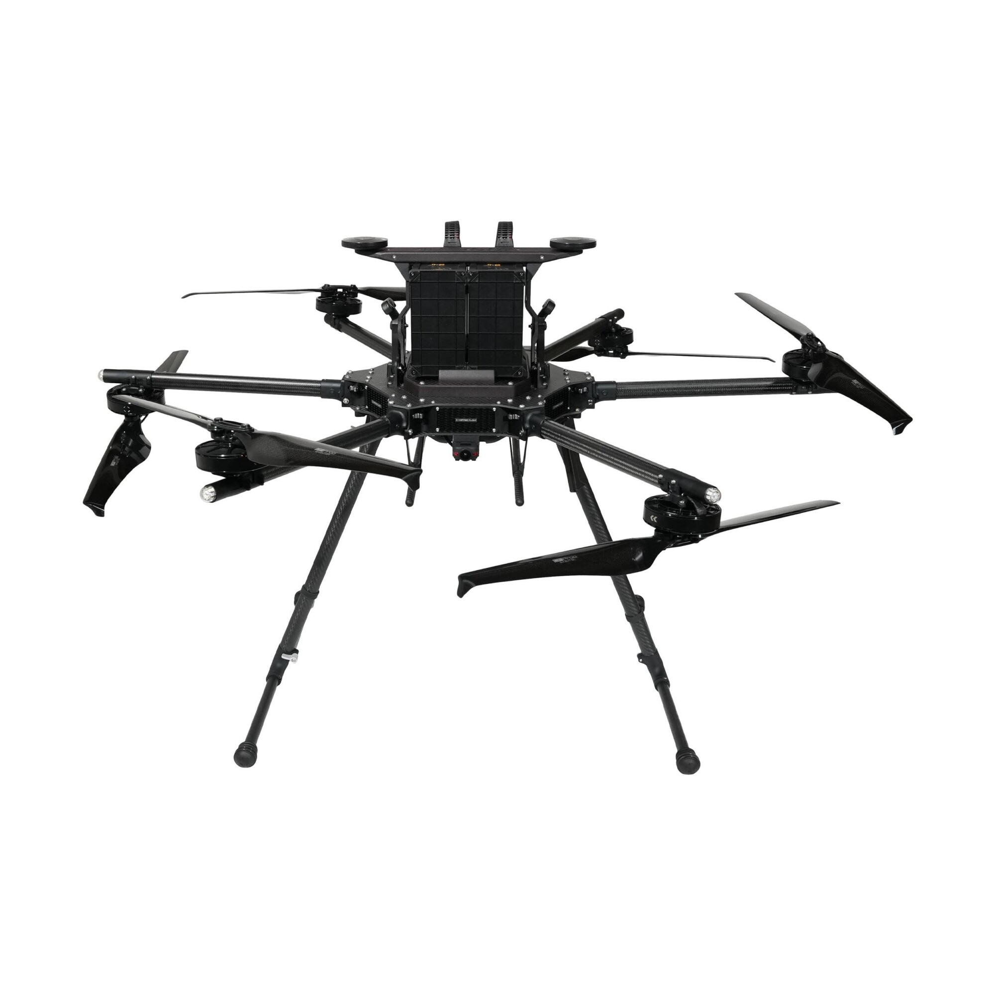

Inspired Flight IF1200A
Call for PriceQuick View -

Autel Robotics EVO Max 4T Bundle
Call for Price


Autel Robotics EVO Max 4T Bundle
Call for PriceQuick View