by Tovah Danielson | Sep 27, 2024
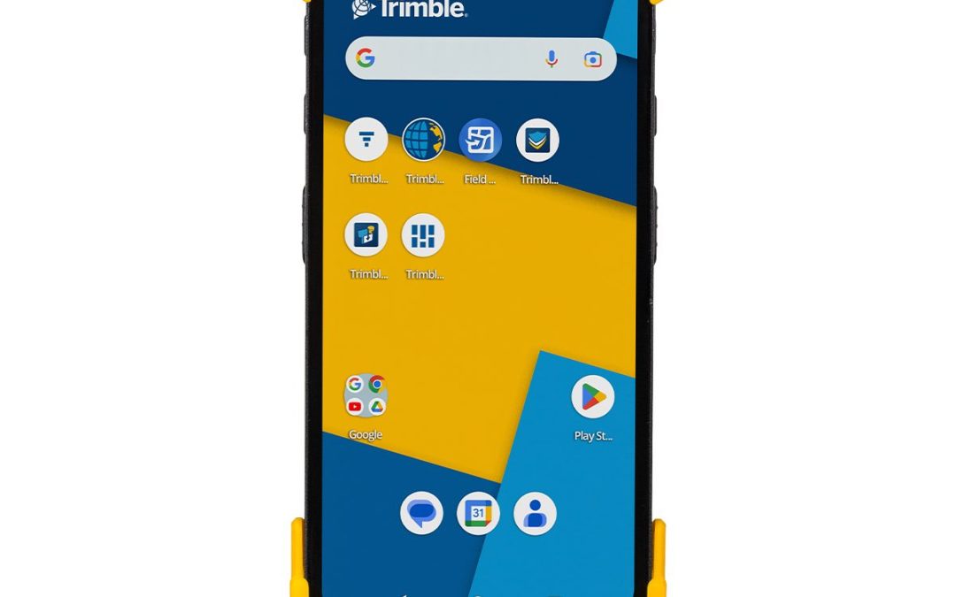
The Trimble® MX60 mobile mapping system delivers powerful mobile scanning and imaging for asset management. Intuitive Easy installation of trusted, field proven Trimble® mobile mapping hardware. Connect and get collecting quickly, with familiar single cable...

by SCS Cloud | Jun 15, 2024
by Marco Ryan | May 9, 2025
The MRX SG is the most advanced locator in the range, combining precision line locating, marker ball detection, and survey-grade mapping in a single, powerful solution. RF Markers RF markers help locate underground utilities like plastic pipes, fiber optic cables,...
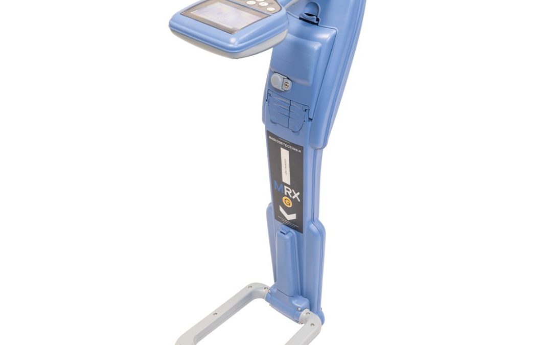
by Marco Ryan | May 9, 2025
The MRX SG is the most advanced locator in the range, combining precision line locating, marker ball detection, and survey-grade mapping in a single, powerful solution. RF Markers RF markers help locate underground utilities like plastic pipes, fiber optic cables,...
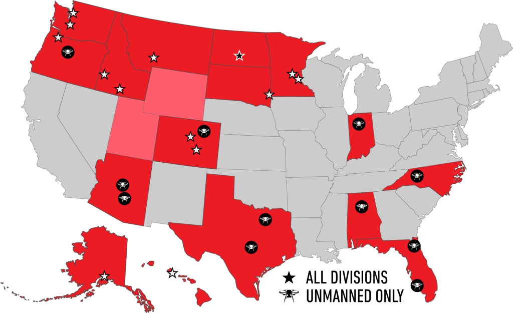
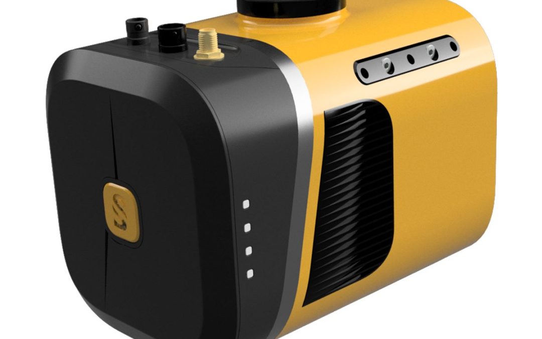
by Marco Ryan | May 9, 2025
The MRX G is tailored for advanced locates, and is well-suited for challenging environments and congested areas where precision matters. RF Markers RF markers help locate underground utilities like plastic pipes, fiber optic cables, and critical points in dense...
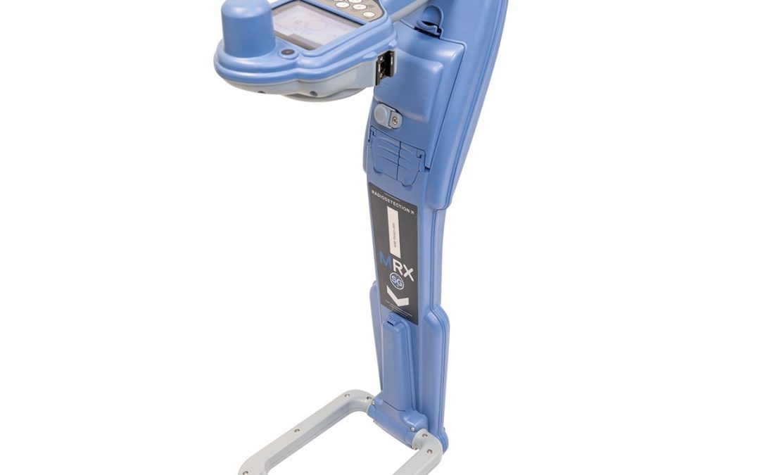
by Marco Ryan | May 9, 2025
An ergonomic locator with combined functionality, the MRX is a rugged and dependable tool that combines utility and marker ball detection. RF Markers RF markers help locate underground utilities like plastic pipes, fiber optic cables, and critical points in dense...
by Marco Ryan | Mar 31, 2025
Advanced, rugged, ultra-lightweight data collection solution for productive surveying and GIS field workflows. The Trimble® TDC6 is a versatile data collector for all your mapping and survey field data collection workflows. Used standalone for GIS data capture or to...
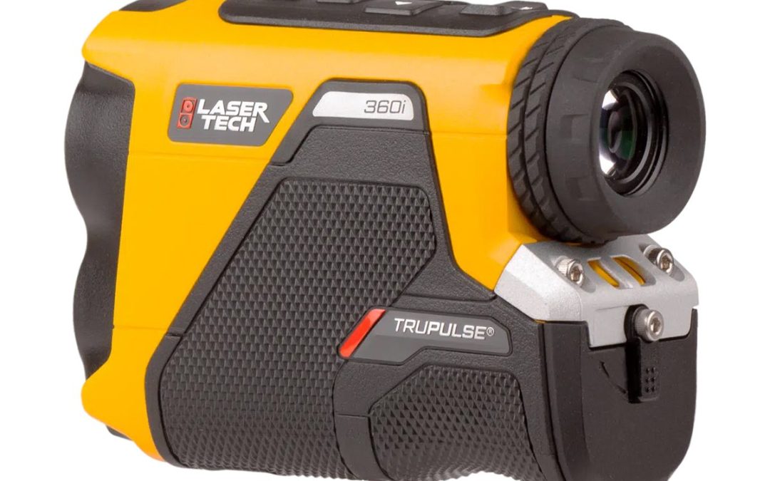
by Marco Ryan | Mar 31, 2025
Laser Tech TruPulse 360i 7005855 Laser Rangefinder i-Series rangefinders are made to measure from the ground up. The TruPulse 360i is capable of 50% higher distance accuracy and 60% higher inclination accuracy than the previous TruPulse 360° model while increasing the...

by Marco Ryan | Mar 17, 2025
A higher-grade INS integration for more productivity in operation, all in an even lighter package. We’ve kept the great 32-beam, 360° laser scanner and combined it with an INS to reach its full potential at higher altitudes and in Fly & Drive with many...
by Marco Ryan | Mar 17, 2025
A higher-grade INS integration for more productivity in operation, all in an even lighter package. We’ve kept the great 32-beam, 360° laser scanner and combined it with an INS to reach its full potential at higher altitudes and in Fly & Drive with many...

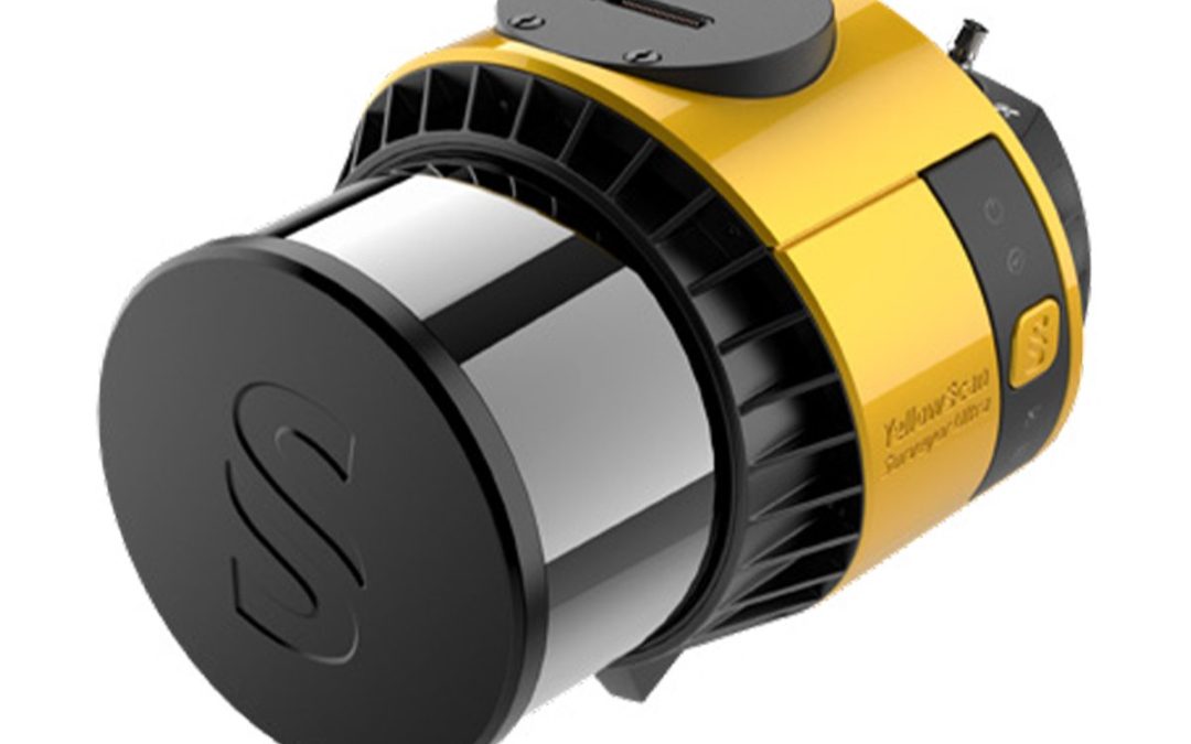
by Marco Ryan | Mar 17, 2025
The YellowScan Navigator is an innovative bathymetric LiDAR solution for mapping underwater and ground topography with a single-button operation. Its compact design allows for operating on various UAV platforms without compromising water penetration. Technologies...
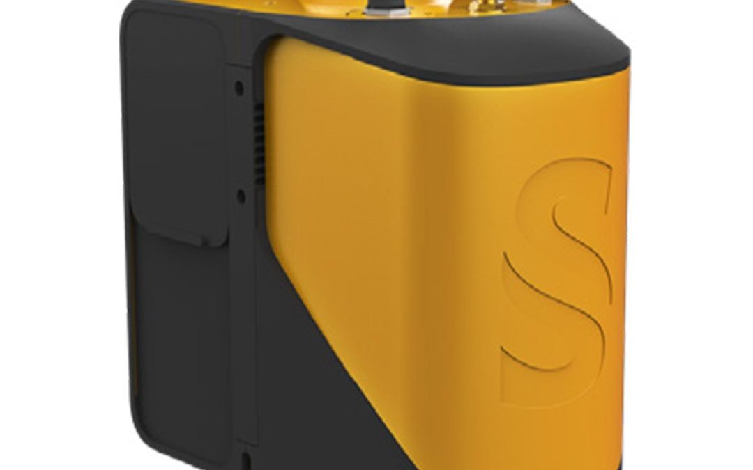
by Marco Ryan | Mar 17, 2025
The YellowScan Mapper is the next generation of integrated LiDAR solutions. Its low weight, mid-range capability, great point density as well as advanced accuracy and precision, makes the Mapper the best value for money in our portfolio. Technologies Inside: Applanix...
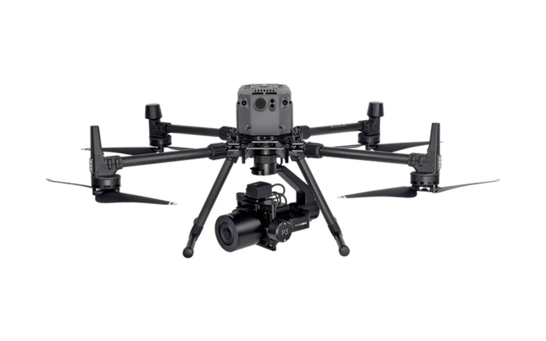
by Morgan Hartze | Feb 18, 2025
The P3-iXM100 for DJI M300/M350 with PhaseOne Platinum support 1-Year is a state-of-the-art drone imaging solution designed to enhance the productivity of inspection and mapping missions. It features a Phase One iXM 100MP camera, a range of RSM lenses, and a new...
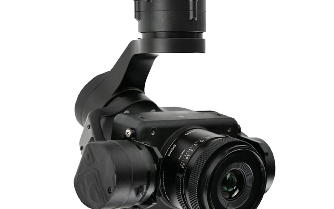
by Morgan Hartze | Feb 17, 2025
The Phase One P3 Payload provides a customizable solution for all your inspection needs. Choose your drone, your camera, and your lens, from our selection, to get all the finest details in one shot. Our iXM cameras are uniquely designed for UAVs and are fast, highly...
by Marco Ryan | Jan 7, 2025
The LR1 Payload is well suited for high-resolution mapping and imaging missions with the Freefly Astro. The LR1 Payload natively mounts to your Astro with the Freefly Smart Dovetail system.* This connection provides power and data communication from the camera to the...
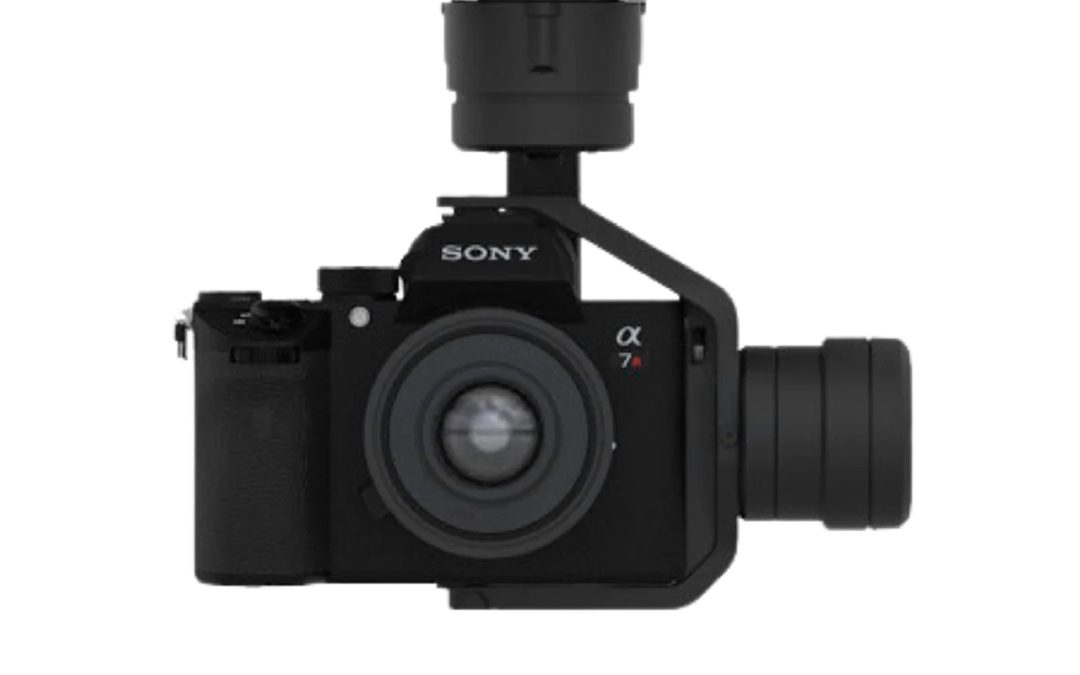
by Marco Ryan | Jan 7, 2025
Freefly ASTRO Mapping Payload ONLY Each Mapping Payload includes a Freefly mapping gimbal, 61MP Sony Alpha 7R IVA, a 24mm lens, a USB drive to capture geo-tagged images and a foam insert that nests under the Astro in the Astro travel case. The Mapping Gimbal natively...
by Jenn Heinrich | Nov 26, 2024
Many products have several units available. The cost MAY differ due to condition, accompanying accessories, or other factors. Contact Bobbi at 320-654-6411 to discuss what options are available for your Used equipment needs! Your Name(Required) First Last Your...
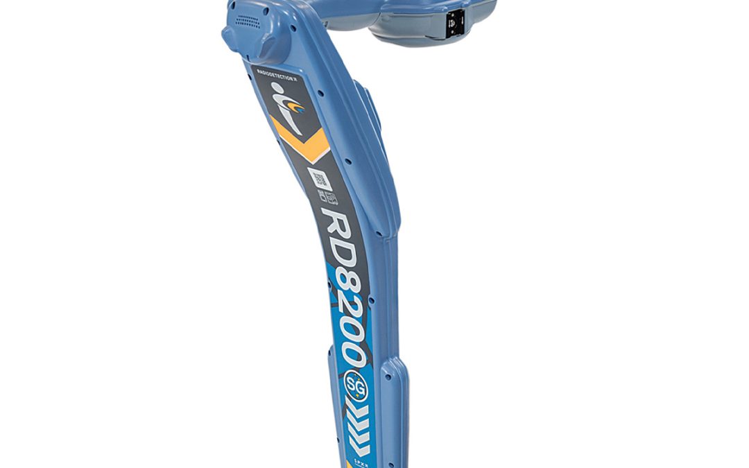
by Marco Ryan | Sep 2, 2024
RD8200SG – Survey Grade Create and Maintain Utility Maps in a Single Operation Map while you locate Integrate utility locating into your mapping procedures Integrate mapping into your utility locating procedures, fluently Flexibility to work with the system that...
by SCS Cloud | Jun 15, 2024
The YellowScan Mapper is the next generation of integrated LiDAR solutions. Its low weight, mid-range capability, great point density as well as advanced accuracy and precision, makes the Mapper the best value for money in our portfolio. Technologies Inside: Applanix...
by SCS Cloud | Jun 15, 2024
The YellowScan Mapper+ is the next generation of integrated LiDAR solutions. This particularly lightweight system with long range capabilities, high-end point density, as well as advanced accuracy and precision, make it the perfect UAV LiDAR mapping tool for...
by SCS Cloud | Jun 15, 2024
Save Time and Money• No need to learn diverse software – UgCS enables supports for the majority of drones• The import and route creation from customer provided KML data will save 50% of your time• Save days of traveling and before leaving the site, validate acquired...
by SCS Cloud | Jun 15, 2024
FEATURES:• Waypoints, linear, circle, perimeter, and area scan tools• LiDAR Toolset• Automatic photogrammetry, vertical (facade) scan, corridor mapping, and SAR tools• Immersive 3D mission planning environment• KML/CSV data import• DEM import• Elevation profile and...
by SCS Cloud | Jun 15, 2024
• LiDAR Survey Planning Tools• Live Video Stream from UgCS for DJI to UgCS (currently compatible only with Android and Win)• Multiple SDK Connections• ADS-B Transponder• Compatible with UgCS Mapper to Perform Live Video Mapping