


YellowScan YSMPULKIT-SB Mapper Ultra
Call for Price
YellowScan YSMPULKIT-SB Mapper Ultra
Map Faster. Go Further. See Through.
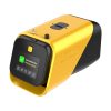
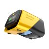
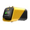
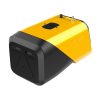
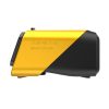
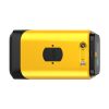
The YellowScan Mapper Ultra is designed for high-performance aerial mapping. With long-range capability, lightweight design, and high-altitude efficiency, it enables professionals to cover large areas faster. Its powerful multi-echo technology ensures sharp data and outstanding vegetation penetration, making it ideal for demanding corridor mapping projects.






YellowScan YSMPULKIT-SB Mapper Ultra
UAV LiDAR Built for BVLOS Drone Mapping
Deploy Faster and Operate with Confidence
Built for Real Field Operations
Every aspect of the Mapper Ultra has been engineered to improve operational efficiency in demanding environments. Its compact industrial design and lightweight architecture simplify transportation, accelerate deployment, and support efficient aerial workflows in the field.
Designed to support:
- Fast deployment workflows
- Efficient transportation
- Simplified mission preparation
- Reliable field operations
Integrated Touchscreen Interface
Operate directly from the system through an integrated touchscreen designed for field efficiency.
Monitor acquisition status, access mission controls, and manage operations through a streamlined interface built to reduce setup complexity and improve usability in the field.
The integrated operational interface helps operators stay focused on mission execution while maintaining full visibility over system performance.
Seamless Integration
Designed for Multiple UAV Operations
Mapper Ultra integrates seamlessly across a wide range of UAV platforms and operational workflows. Its lightweight and balanced architecture enables efficient deployment across different mission profiles while maintaining reliable acquisition performance.
Deploy Efficiently
- Multi-rotor UAVs
- VTOL UAVs
- Fixed-wing UAVs
- Single-rotor UAVs
Integrate Naturally Into Existing UAV Workflow
From mission preparation to acquisition, Mapper Ultra simplifies aerial mapping deployment across industries and applications.
Operate With Flexibility
Adapt quickly to changing field conditions, environments, and operational requirements while maintaining efficient mapping workflows.
Unveil Thinnest Details
Forestry & Ground Mapping
With its 7 true echoes, the YellowScan Mapper Ultra reveals the ground beneath dense vegetation to generate accurate terrain models, even in heavily forested areas.
Corridor & Utility Inspection
Inspect corridor and monitor critical infrastructure with precision at 120 m height with a flight speed of 10m/s. Map powerlines, pipelines, and utility networks efficiently with high point density and reliable coverage.
Engineering
Map long distances faster, without compromising detail. Operate efficiently over extended infrastructures, even in challenging terrain with elevation changes.
Complex Terrain Mapping
The YellowScan Mapper Ultra is a flexible topographic LiDAR system created to perform reliably across hills, valleys, and uneven terrain. And maintain consistent data quality in environments where traditional mapping becomes challenging.
Maximize Your Efficiency in the Field
Fly Higher
With it 75° Field of View, 500 000 shots/sec and a flight height range of 240 m, the Mapper Ultra is a powerful LiDAR for drone that can be deployed for large scale mapping.
Capture
What’s hidden Capture what lies beneath vegetation with up to 7 true echoes.
Work Longer in the Field
Optimized power consumption. Battery autonomy supports longer missions with fewer interruptions.
Deploy on any Platform
Choose your attachment scheme to facilitate integration to your fleet: Gremsy, Freefly and more...
Store & Secure Larger Projects
The CFexpress card integration increases the data storage capacity and maximize the reliability.
Simplified Workflow Using YellowScan Ecosystem
Everything remains under your control from acquisition to final deliverables.
Capture
Achieve efficient LiDAR acquisition through an integrated operational workflow.
Process
Generate accurate trajectories and high-quality point clouds within a simplified workflow powered by the integrated YellowScan CloudStation ecosystem.
Deliver
Refine and export ready-to-use datasets seamlessly for analysis, sharing, and decision-making.
Related products
-
Gremsy Standard Damping Plate
Call for Price
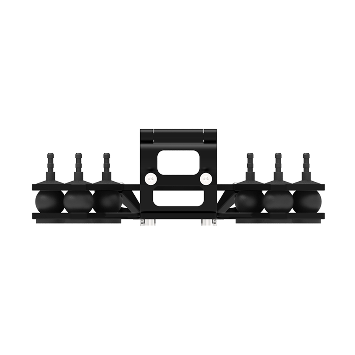
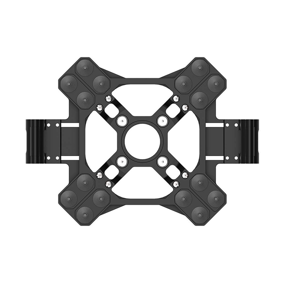
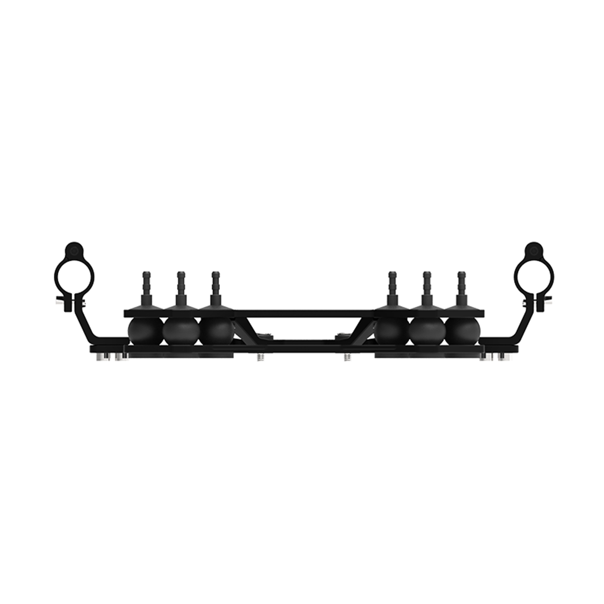
Gremsy Standard Damping Plate
Call for PriceQuick View -

Gremsy AEVO
Call for Price


Gremsy AEVO
Call for PriceQuick View -

Autel Robotics EVO II Propeller Guards
Call for Price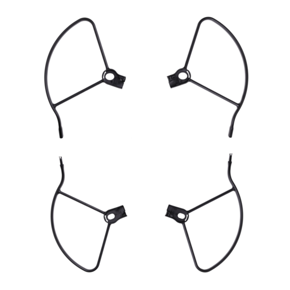

Autel Robotics EVO II Propeller Guards
Call for PriceQuick View -

Autel Robotics EVO II Low-noise Propellers
Call for Price


Autel Robotics EVO II Low-noise Propellers
Call for PriceQuick View