")
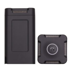
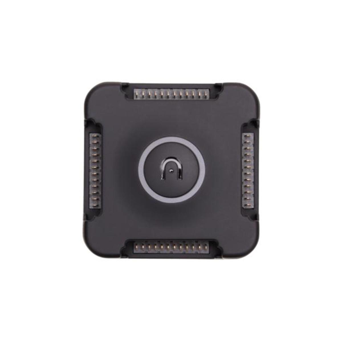
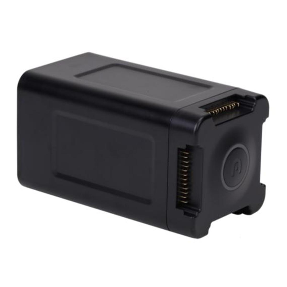
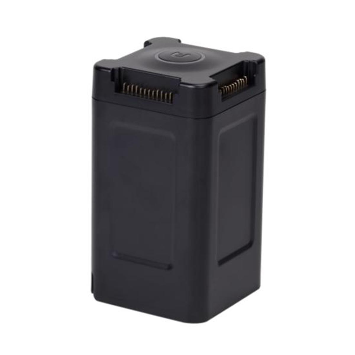
Emesent Hovermap ST-X Kit
Call to OrderFrontier Precision is currently adding items to the Shop, so please contact us at 800-359-3703 to order or for more information on this item.

Extend the Reach of Autonomous LiDAR Mapping
The Hovermap ST-X also excels at indoor or close-range scans, producing sub-centimeter results thanks to the award-winning Wildcat SLAM solution, Automated Ground Control Points, and improved LiDAR sensor accuracy.
Uniquely versatile, Hovermap ST-X allows you to capture data in any environment. Mount it to a drone for autonomous aerial mapping, even in GPS-denied environments. Easily remove it from the drone and use it as a handheld, backpack, or vehicle-mounted scanner. Use a combination of these to rapidly capture as-builts and digital twins in minutes rather than hours.
The tough, lightweight, and weather sealed design makes Hovermap ST-X equally capable in the harshest environments, above or below ground, indoors or out.
The Next Generation in Autonomous 3D Data Capture
Scan Large Areas in Less Time
With a LiDAR sensing range of 300m (984ft), Hovermap ST-X allows flying higher and faster to extend your transect coverage and enable faster data capture over large areas. Fewer flights are needed to cover an area, reducing lost time with setup, pack down, and relocation, as well as time spent merging scans.
Exceptional Vegetation Penetration
Triple returns and a rotating LiDAR (not statically mounted) make Hovermap ST-X perfect for terrain or forestry scanning. The resulting point cloud is dense, making it easier to classify scanned objects.
View Your Data as You Capture It
Hovermap ST-X live streams the point cloud to your control tablet, allowing real-time preview of data as it is captured. The addition of Emesent's Long Range Radio accessory (optional) enables live streaming and device control up to 20 times further, allowing you to see real-time data and set smart waypoints for Guided Exploration from even further away.
Durable. Adaptable.
The tough, weather sealed Hovermap ST-X is dust and splash resistant, making it ideal for use in dusty or otherwise harsh environments. Extend its capability with the accessory port and mount points, and add Long Range Radio, Colorization hardware, or an inspection camera.
Survey Grade Scans
In addition to improving accuracy for common mapping tasks, Hovermap ST-X with GCP can be used to create survey grade scans for long, linear assets, large or feature-poor environments that have previously been challenging for SLAM-based systems.
Why Choose Hovermap ST-X
• Capture Detailed, Accurate Data: a LiDAR sensing range of 300 meters and triple returns that captures more than one million points per second allows you to capture detailed, accurate data over a greater area in less time - giving you faster time to insight.
• Sub-centimeter Indoor Scans: the award winning Wildcat SLAM solution, Automated Ground Control Points (optional), and improved LiDAR sensor accuracy provides a cleaner, more precise point cloud with 4 to 5mm accuracy allowing you to obtain more accurate measurements and improved insights.
• Uniquely Versatile: the plug and play design and quick-release mechanism allow easy switching between modes. Use Hovermap as a handheld scanner; attached to a drone, vehicle, or pole; lowered in a cage; or mounted to a backpack to easily collect data anywhere. The compact, lightweight design makes it easy to carry and provides longer flight time.
• Robust, Autonomous Capability: Advanced autonomy and 360° Collision Avoidance enables flight and mapping in challenging surroundings, including beyond visual line of sight and communication range, even in GPS-denied environments - providing new, valuable insights while the operator remains in a safe location.
Options for Every Scanning Need | Autonomy Levels
• Mapping Mode | Autonomy Level 0: Mapping Mode offers fast, accurate, and high resolution mobile scanning of environments where drone autonomy is unnecessary. Hovermap ST-X's quick-release mechanism allows you to easily switch from a drone to a handheld scanning or backpack-, vehicle-, or protective shaft scanning cage-mount for SLAM-based mobile mapping.
• Pilot Assist Mode | Autonomy Level 1: Pilot Assist Mode provides omnidirectional Collision Avoidance, line of sight GPS-denied flight capability, and stability control, providing the confidence and stability for close, thorough inspections. It acts as a safety bubble for your drone, keeping the asset and your equipment safe.
• Autonomous Waypoints | Autonomy Level 2: Autonomous Waypoint Mode provides beyond line of sight flight through Smart Waypoints and Guided Exploration. Simply tap on the map to set smart waypoints, and Hovermap ST-X takes care of the rest, navigating waypoints, mapping the area, and keeping itself and the drone safe from obstacles.
Long Range Radio
Easily attach Emesent's Long Range Radio (optional) to Hovermap ST-X to increase the connectivity range up to 20 times. This allows viewing the live streamed point cloud and provides the benefits of safe, autonomous GPS-denied flight over longer distances.
Colorization
Add a new level of reality capture to your 3D point clouds with Hovermap's colorization feature.
The 3D point clouds from Hovermap can be augmented with true color, providing additional context for visualization and analysis. Colorization provides greater insights across a variety of applications, revealing previously hidden details in your critical infrastructure.
Tap-to-Fly Autonomy
With Autonomous Waypoint Mode (AL2), pilots can fly an entire mission, from takeoff to landing, using a tablet.
Hovermap ST-X's Tap-to-Fly feature enables exploration in previously inaccessible areas beyond line of sight and communication range, accessing unprecedented insights. The omnidirectional Collision Avoidance, Guided Exploration, and smart Return-to-Home functions ensure assets are kept safe and valuable equipment doesn't get damaged or lost.
Hovermap ST-X streams a live point cloud to the Hovermap app, providing a real-time preview of the data as it is captured when in communication range. Allowing you to leave the site confident you've captured everything you need.
Additional information
| Weight | 12 lbs |
|---|
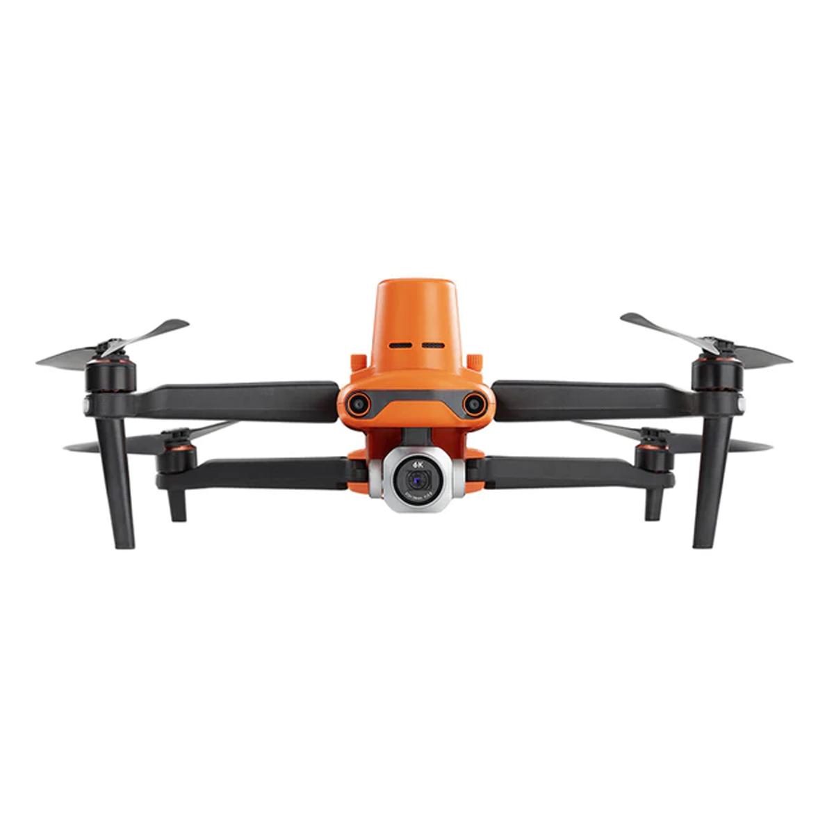
Related products
-
Autel Robotics EVO II Battery Charging Hub

Autel Robotics EVO II Battery Charging Hub
Call to OrderFrontier Precision is currently adding items to the Shop, so please contact us at 800-359-3703 to order or for more information on this item.Quick View -

Autel Robotics EVO II Pro 6K RTK V3 Rugged Bundle

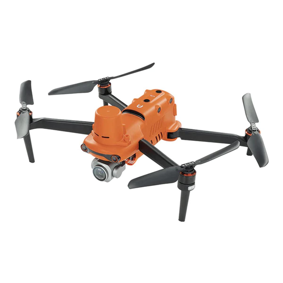

Autel Robotics EVO II Pro 6K RTK V3 Rugged Bundle
Call to OrderFrontier Precision is currently adding items to the Shop, so please contact us at 800-359-3703 to order or for more information on this item.Quick View -

Gremsy AEVO


Gremsy AEVO
Call to OrderFrontier Precision is currently adding items to the Shop, so please contact us at 800-359-3703 to order or for more information on this item.Quick View -

Pipe Trekker A-200X Package
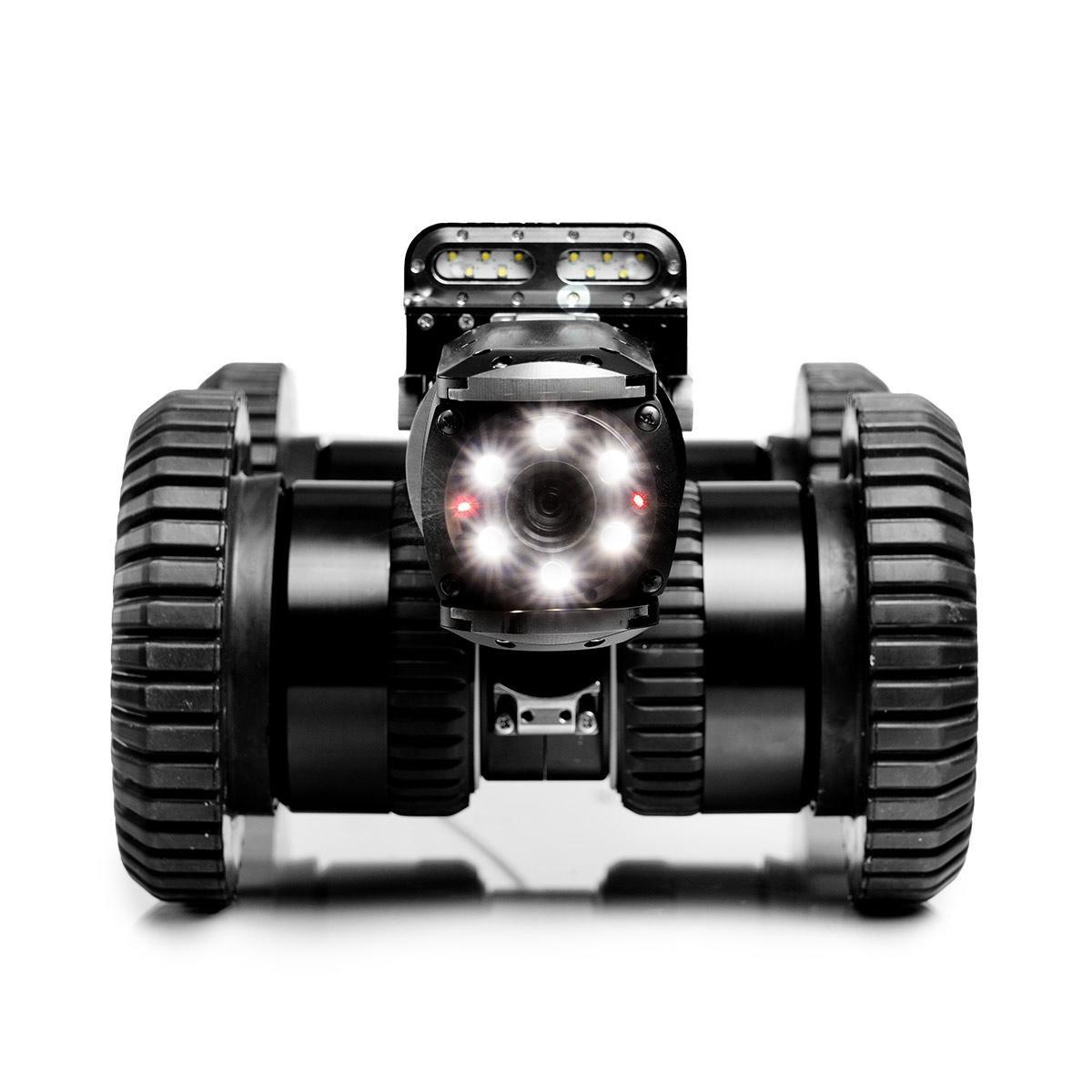


Pipe Trekker A-200X Package
Call to OrderFrontier Precision is currently adding items to the Shop, so please contact us at 800-359-3703 to order or for more information on this item.Quick View