


LiDAR
Showing all 13 results
-

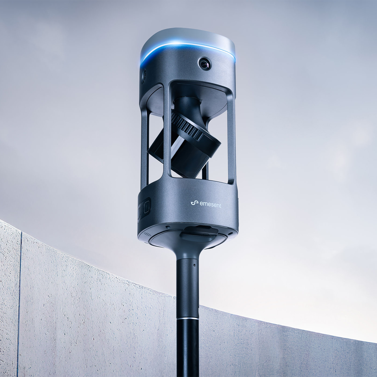
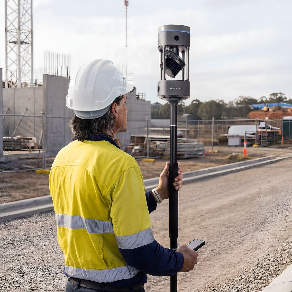
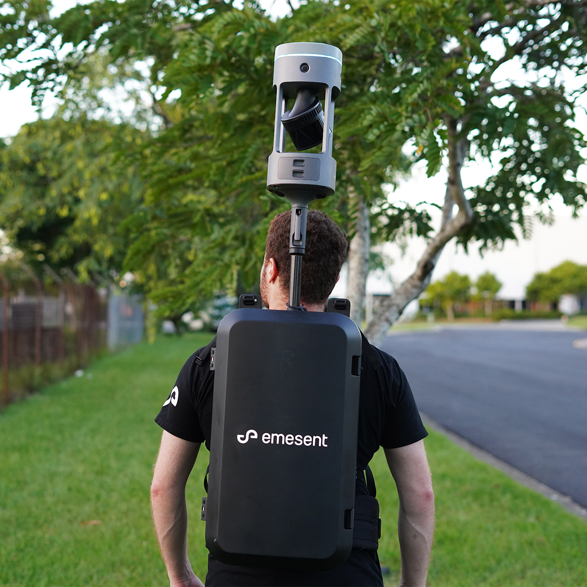
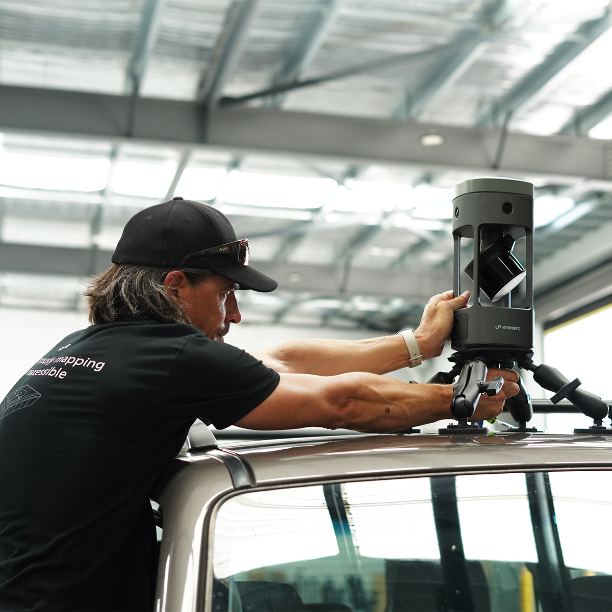
Emesent E00-GX1 RTK SLAM Scanner
Call for Price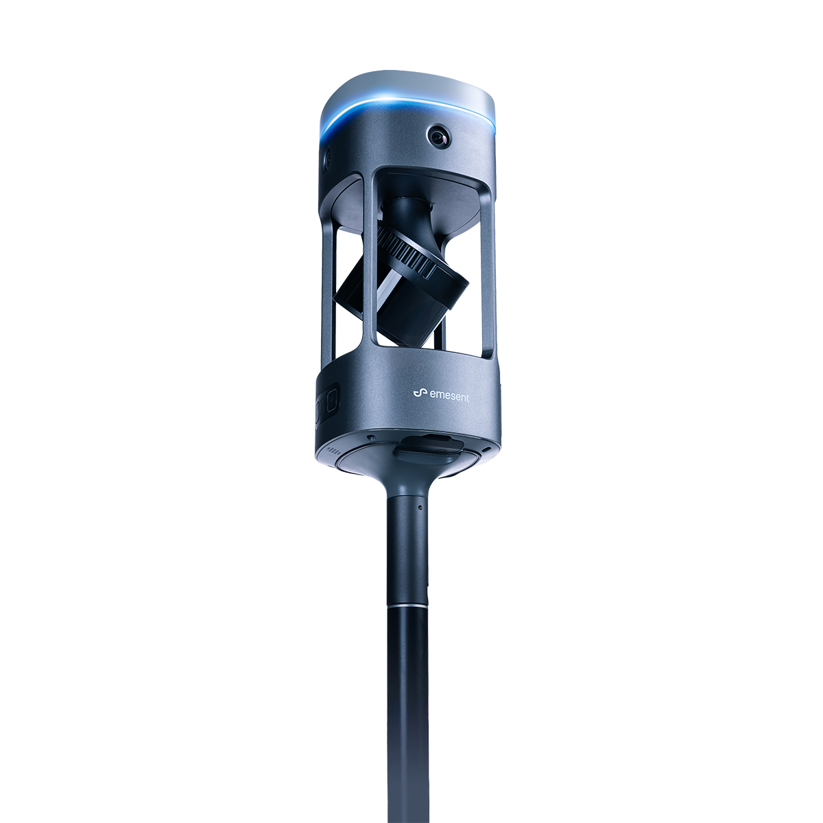


Emesent E00-GX1 RTK SLAM Scanner
Call for PriceEmesent E00-GX1 RTK SLAM Scanner
Reliable, highly accurate SLAM that works in any environment.
Emesent GX1 is the world’s most accurate RTK SLAM scanner, delivering 5-10mm global accuracy with integrated premium RTK georeferencing.Quick View -

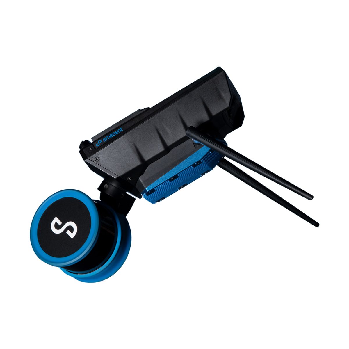
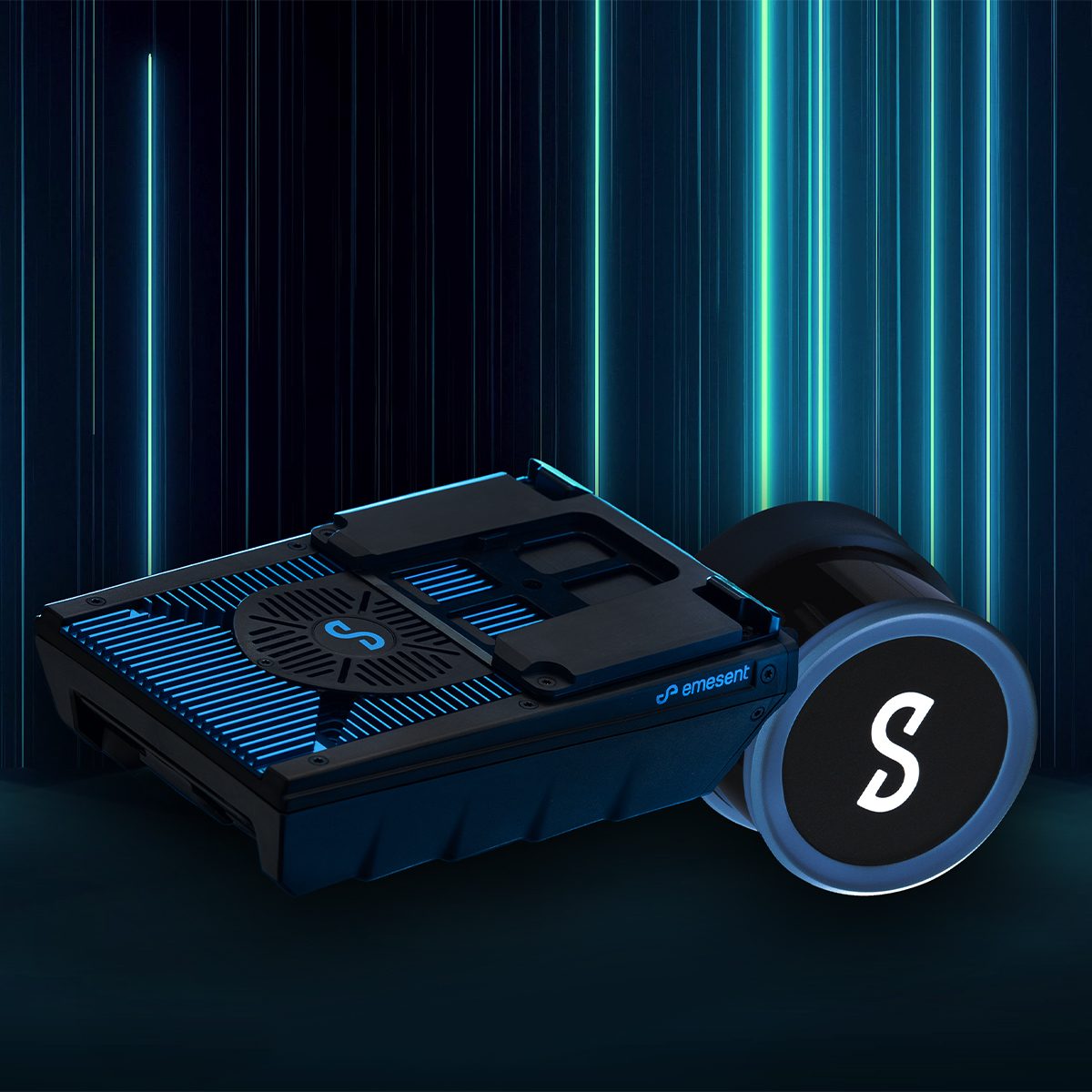
Emesent E00-HSTX-KIT Hovermap ST-X Kit
Call for Price


Emesent E00-HSTX-KIT Hovermap ST-X Kit
Call for PriceEmesent E00-HSTX-KIT Hovermap ST-X Kit
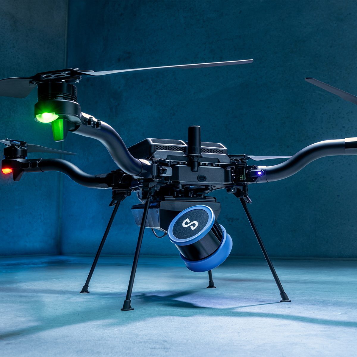
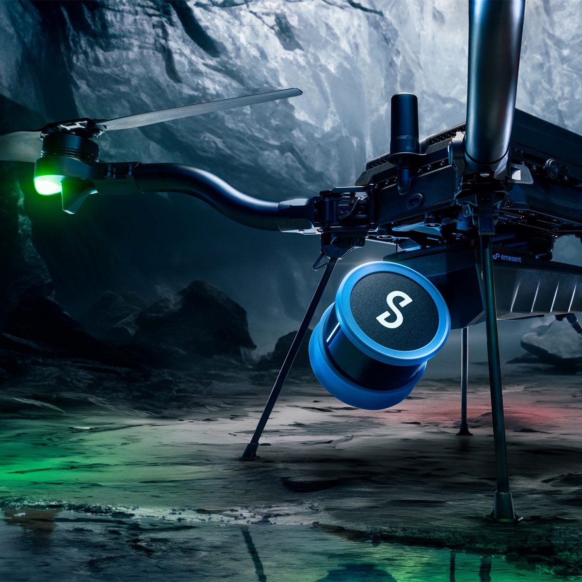
Fast, Accurate, High-detail Mobile Data Capture
Hovermap incorporates the latest in LiDAR sensing technology to offer high density point clouds with exceptional coverage. Featuring a sensing range of up to 300 meters and more than a million points per second, Hovermap captures detailed, accurate data over a wide area fast – accelerating your time to insight.
Emesent offers a choice of Hovermap business plans designed to match and support your specific LiDAR mapping and data visualization requirements.
Quick View -
Quantum Systems 4260574666842 Qube 640 LiDAR Scanner
Call for Price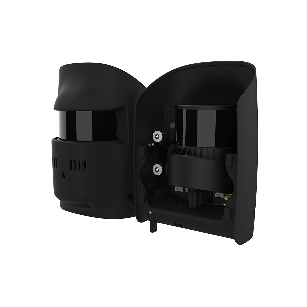

Quantum Systems 4260574666842 Qube 640 LiDAR Scanner
Call for PriceQuantum Systems 4260574666842 Qube 640 LiDAR Scanner
The Qube 640, a specialized LiDAR sensor co-developed with YellowScan for Trinity Pro and Tactical drones, features a selectable FOV (field of view) of up to 176°. Combined with Trinity’s capabilities, it enables 32 km corridor scanning with one single flight. At 120° FOV, it improves productivity by 50% compared to its predecessor, the Qube 240. The sensor ensures improved vegetation penetration, detailing foliage and trunks, and facilitates vertical scanning applications with reduced outer edge mismatches, thanks to the new IMU. An integrated 8MP RGB camera enables LiDAR capture and colorization in the same flight.
Quick View -

YellowScan Mapper (Version 3) YM3CAMKIT & Single Camera Module 20MP
Call for Price



YellowScan Mapper (Version 3) YM3CAMKIT & Single Camera Module 20MP
Call for PriceYellowScan Mapper
Jump into LiDAR revolution.Easy mapping redefined. Start your LiDAR journey with our easy-to-use Mapper system. Its low weight, mid-range capability, top-end point density, as well as advanced accuracy and precision, make this LiDAR system the best value for money. Then add the Sony APS-C size Exmor™ CMOS image sensor with a BIONZ X™ processor to produce high-precision 20 MP images.
Quick View -
YellowScan Mapper (Version 3) YSM3KIT15 Integrated System
Call for Price YellowScan Mapper (Version 3) YSM3KIT15 Integrated System
Call for PriceYellowScan Mapper
Jump into LiDAR revolution.Easy mapping redefined. Start your LiDAR journey with our easy-to-use Mapper system. Its low weight, mid-range capability, top-end point density, as well as advanced accuracy and precision, make this LiDAR system the best value for money.
Quick View -

YellowScan Mapper+ (Version 3) YSM3+KIT Integrated System
Call for Price


YellowScan Mapper+ (Version 3) YSM3+KIT Integrated System
Call for PriceYellowScan Mapper+
Small & compact. Mighty & powerful.Advanced performance fitted into a compact survey solution. The YellowScan Mapper+ is an efficient 3 echoes, high-density LiDAR system for all mapping applications.
Quick View -
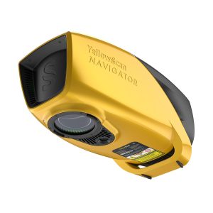
YellowScan Navigator YSNVGTRKIT
Call for Price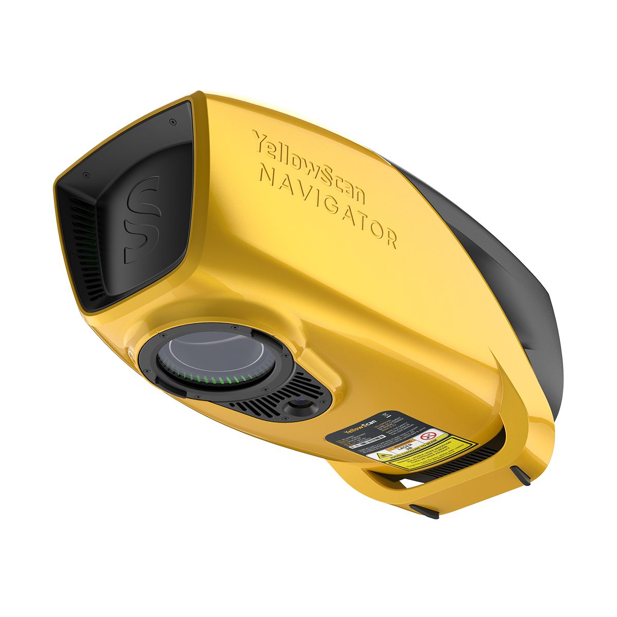
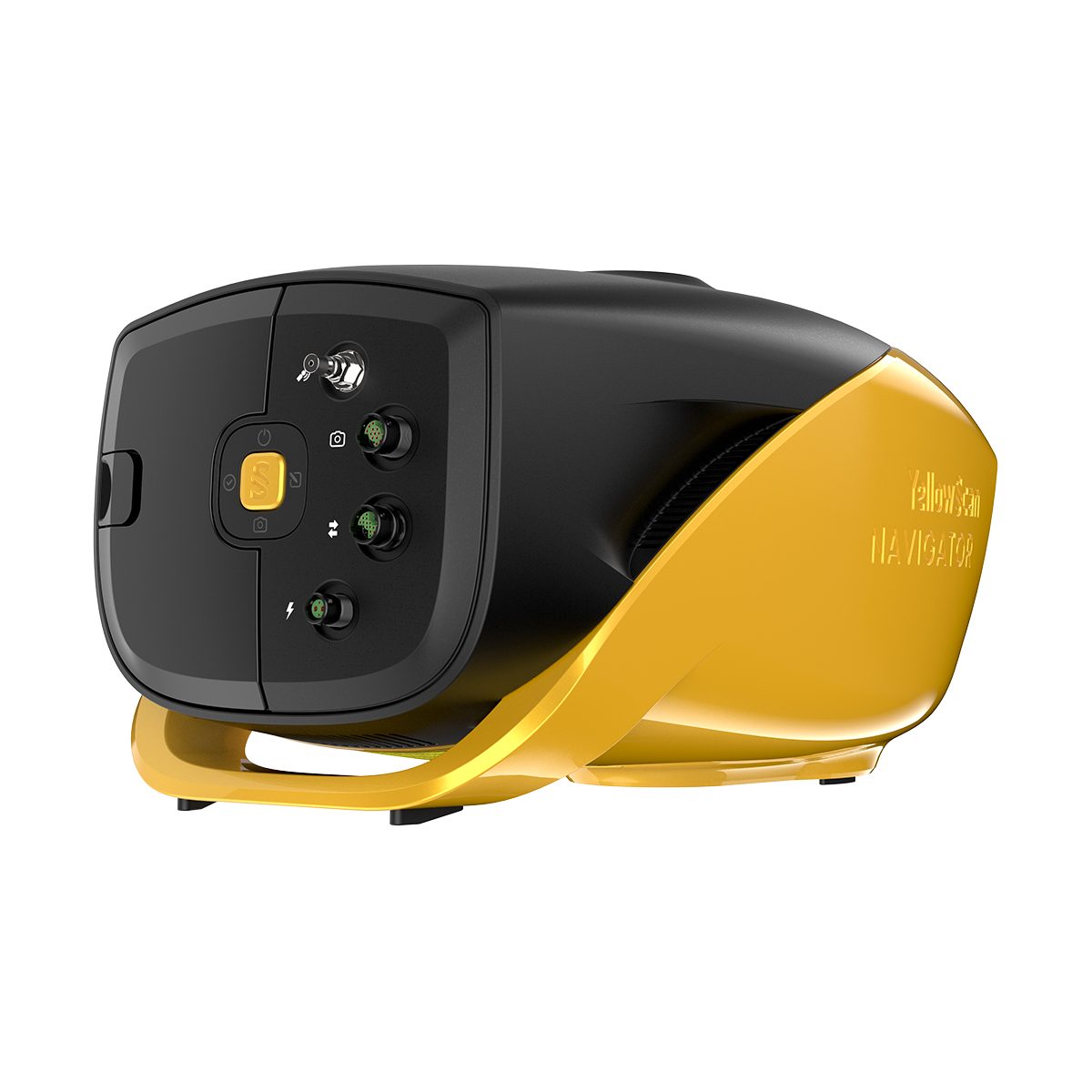
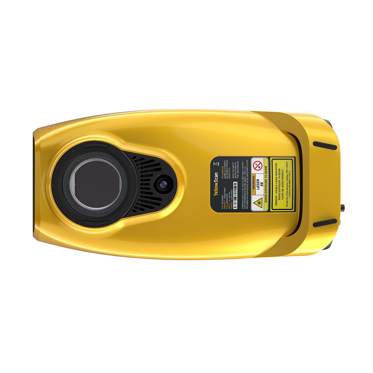
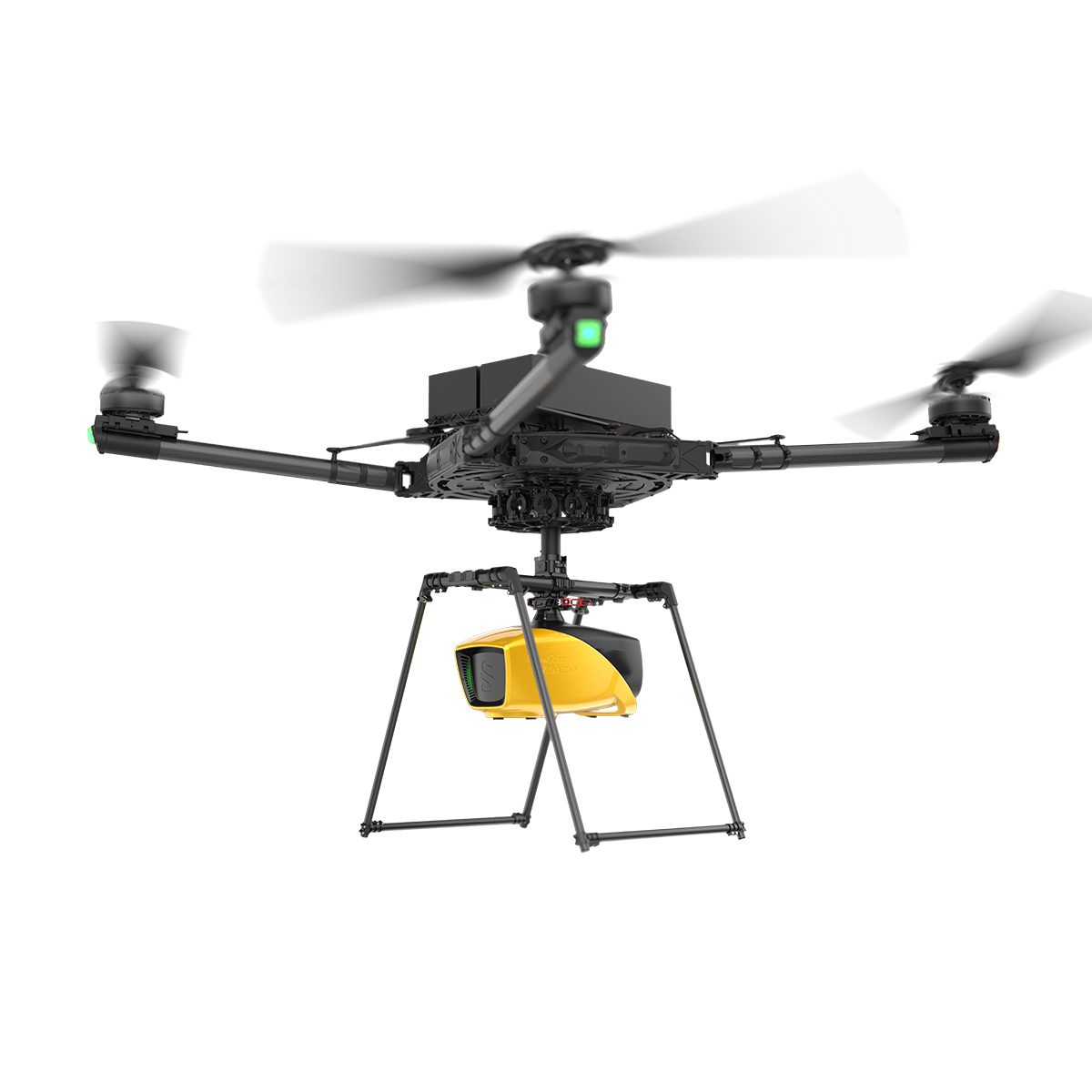
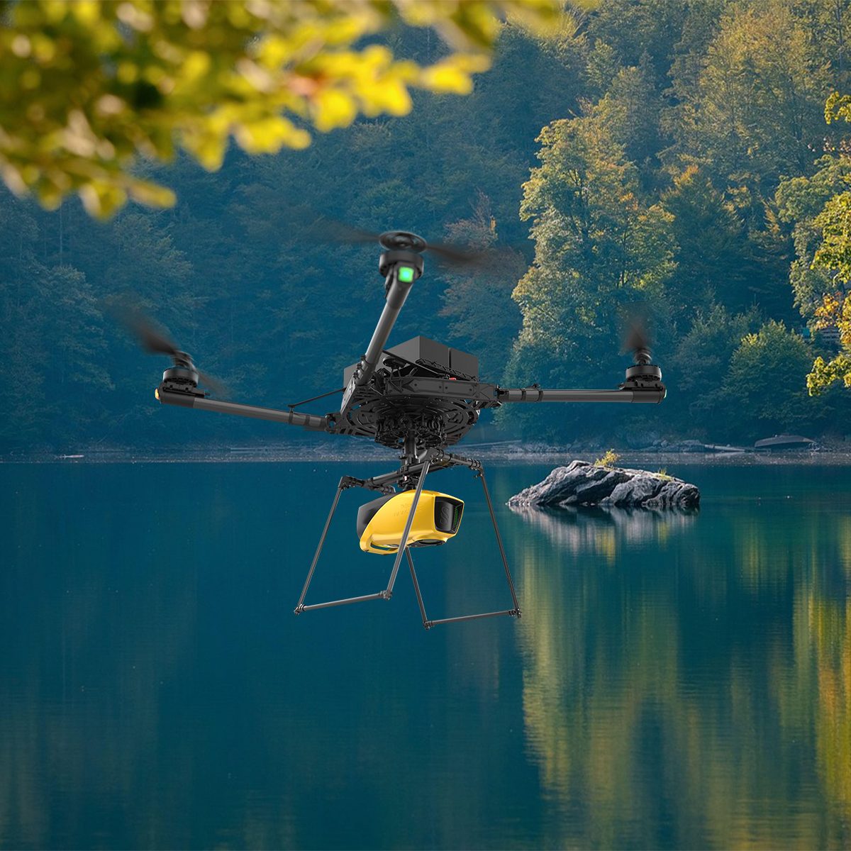
YellowScan Navigator YSNVGTRKIT
Call for PriceYellowScan Navigator
Depths to heights: operating bathymetric LiDAR with one button.The YellowScan bathymetric LiDAR is an innovative solution for exploring underwater and ground topography with a single-button operation. Its lightweight design allows for versatile platform selection without compromising water penetration.
Quick View -
YellowScan Surveyor Ultra 3 YSSVKIT30 Integrated System
Call for Price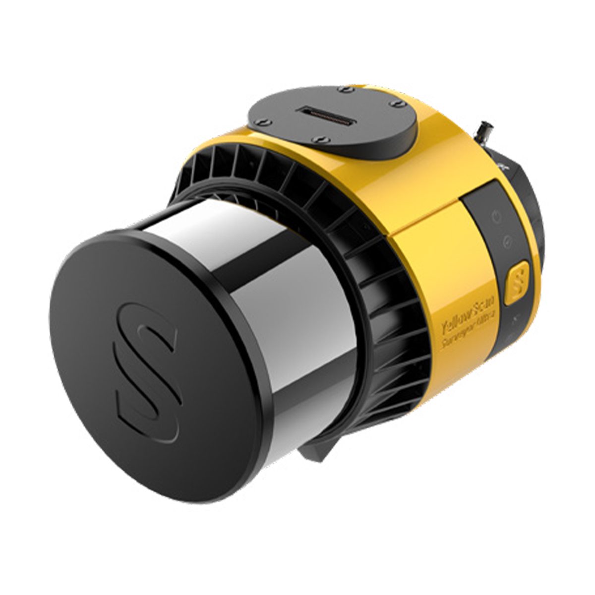
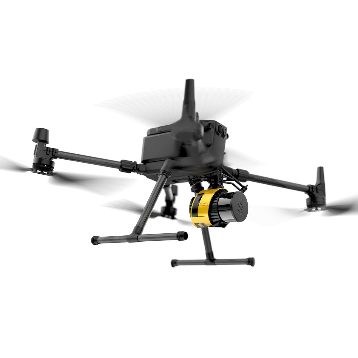
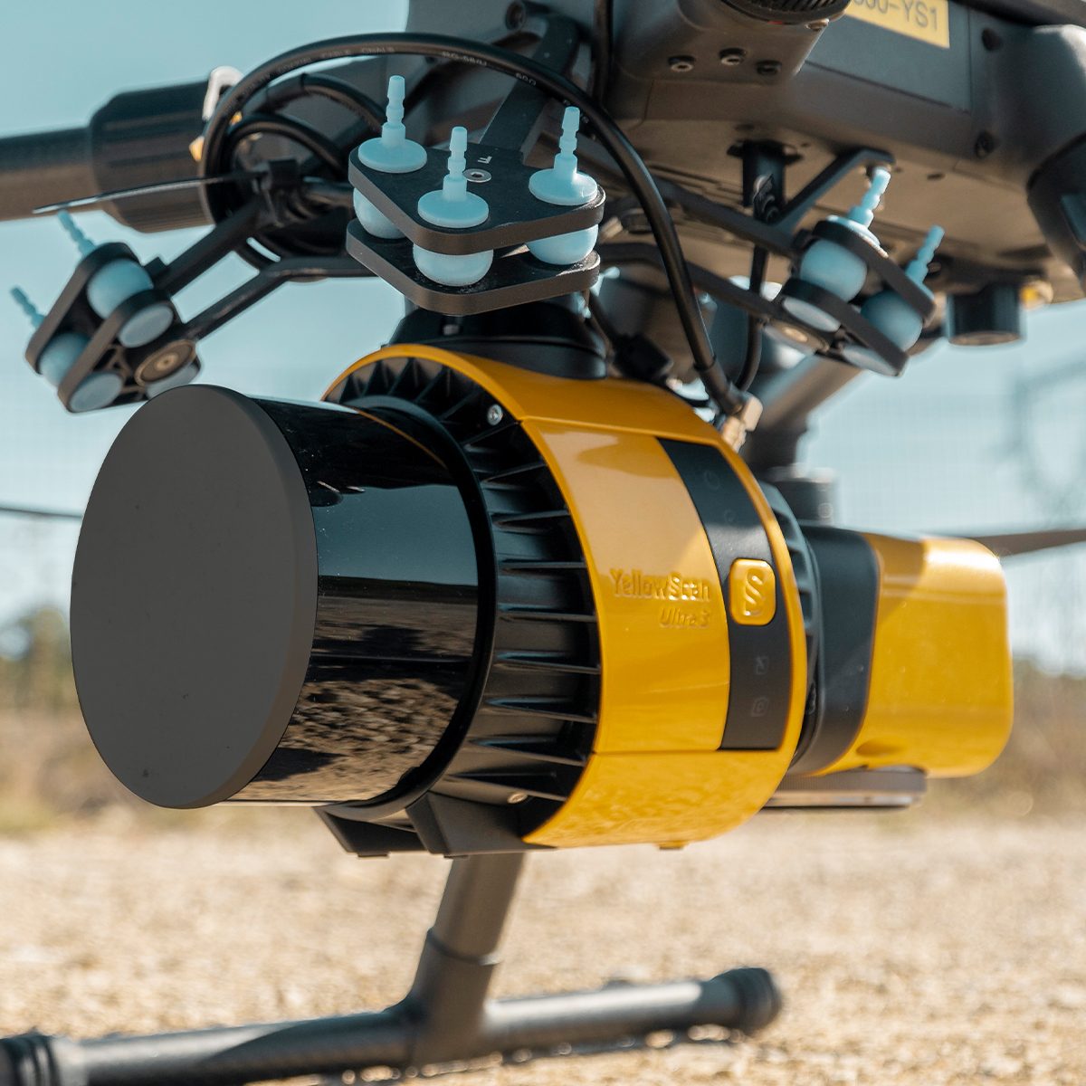
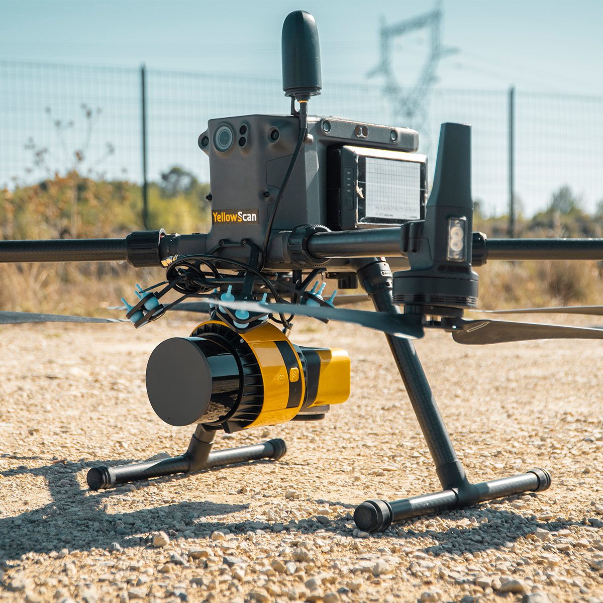
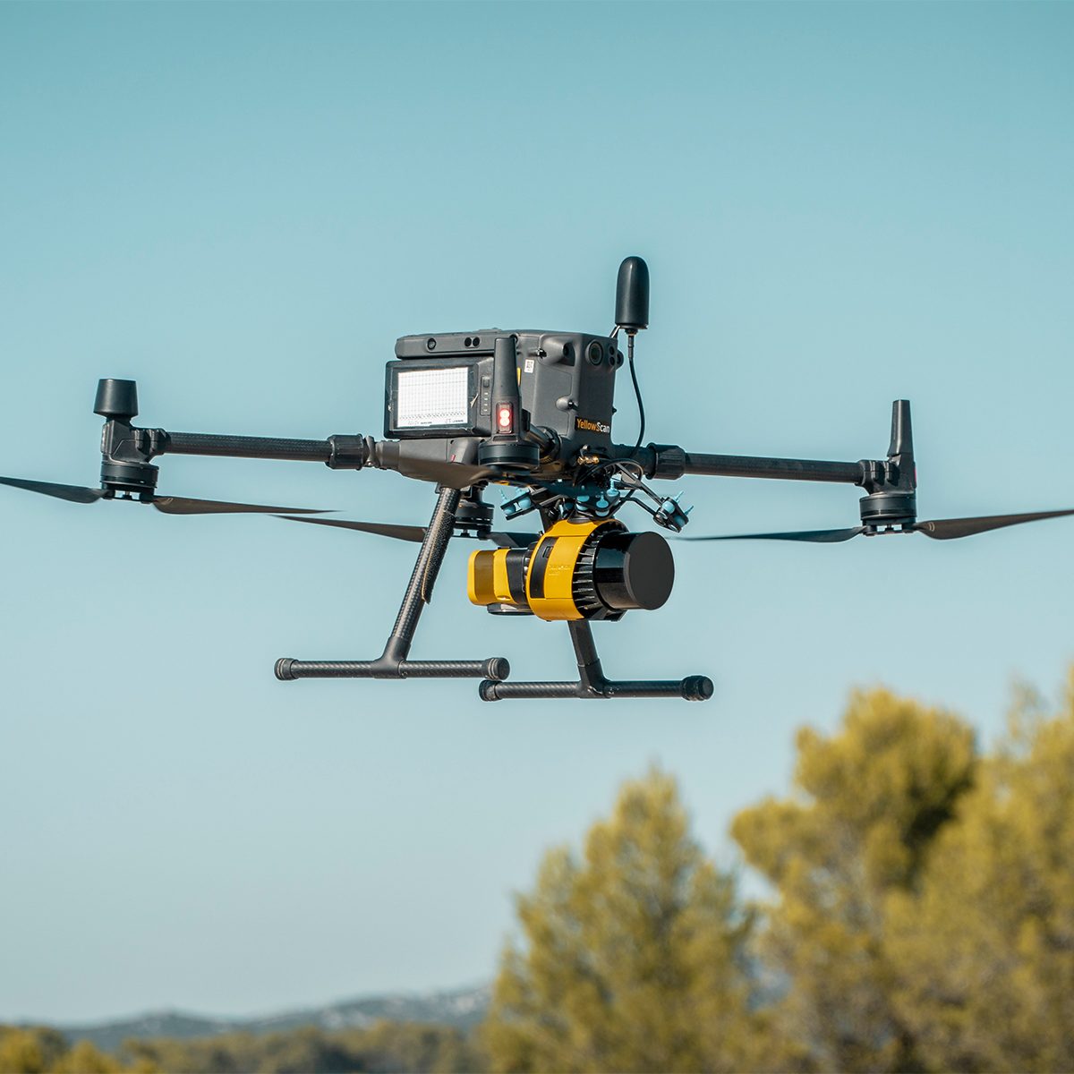
YellowScan Surveyor Ultra 3 YSSVKIT30 Integrated System
Call for PriceYellowScan Surveyor Ultra
Affordability. Flexibility. Productivity.
The YellowScan Surveyor Ultra marks a new generation of YellowScan LiDAR systems integrating SBG Systems’ IMU, combined with an integrated RGB camera for colorization purposes. Combining light weight and high density, its flexiblity makes a great addition anywhere.
Quick View -
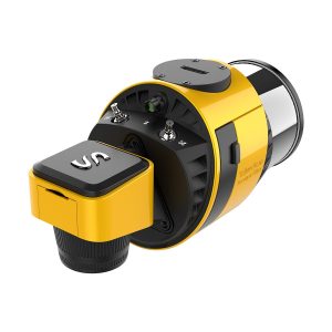
YellowScan Surveyor Ultra 3 YSV3SCAM61KIT & Single Camera Module 61MP
Call for Price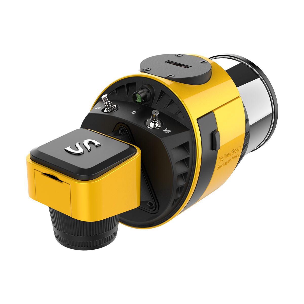
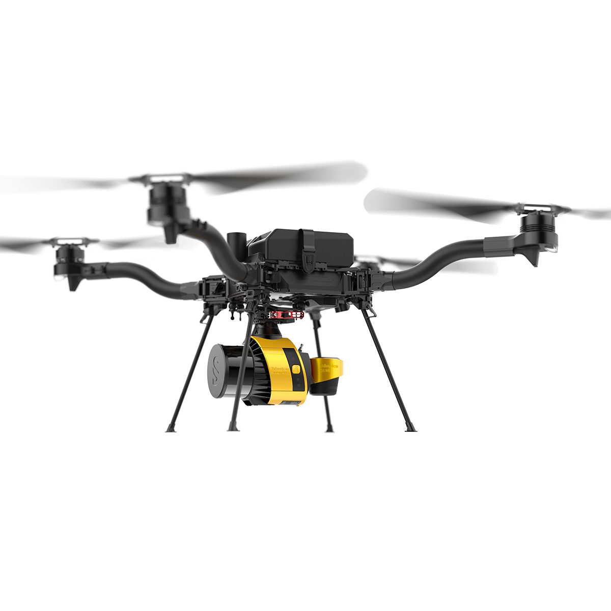
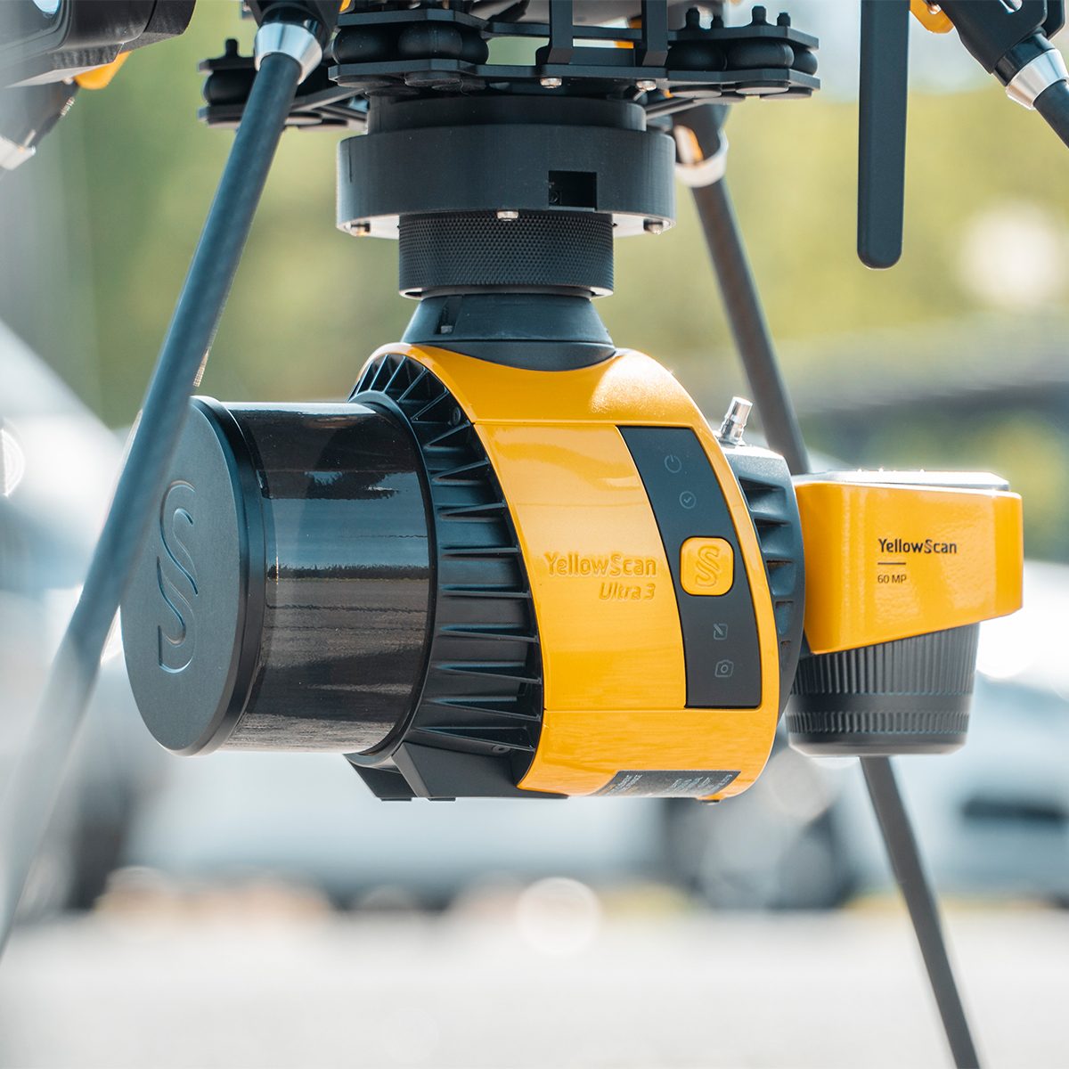
YellowScan Surveyor Ultra 3 YSV3SCAM61KIT & Single Camera Module 61MP
Call for PriceYellowScan Surveyor Ultra & Single Camera Module 61MP
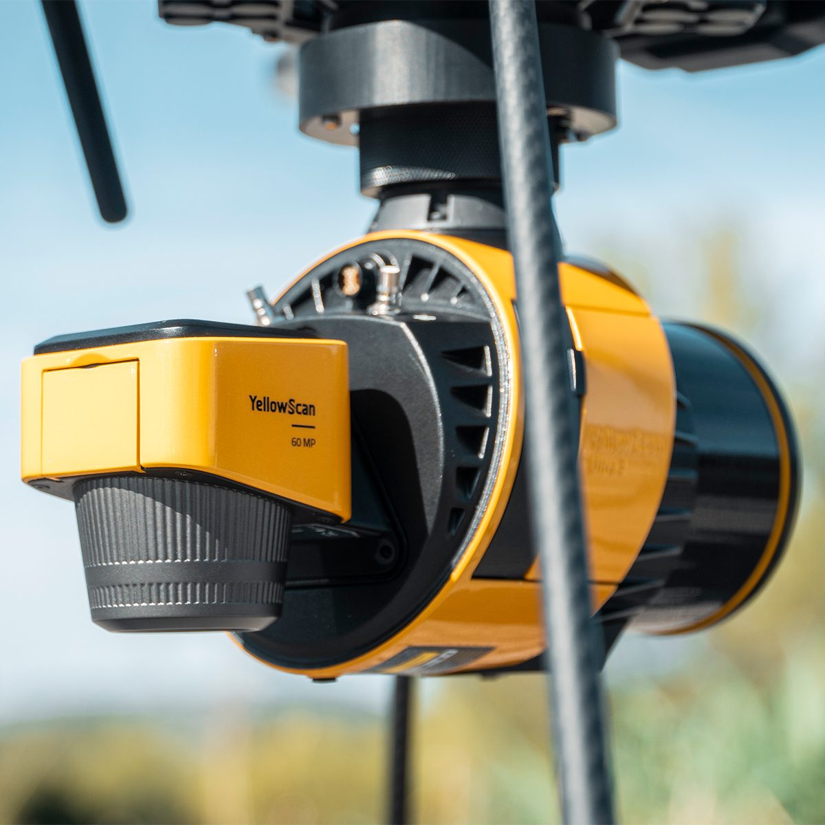
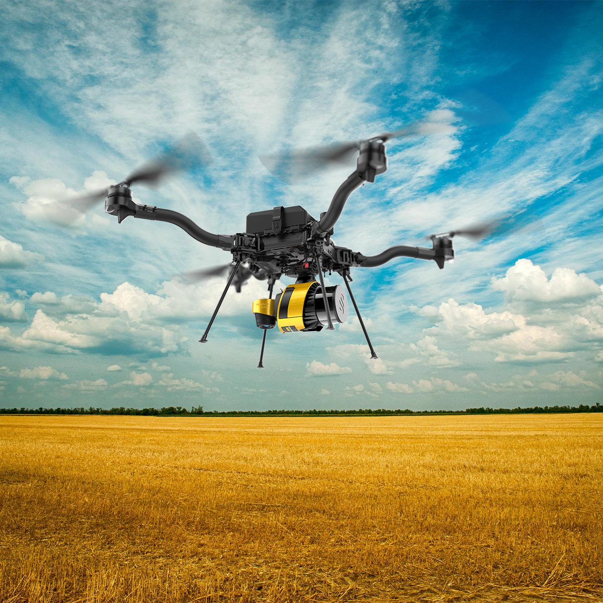
Lightweight 360° LiDAR System for UAV Integration
Affordability. Flexibility. Productivity.
The YellowScan Surveyor Ultra marks a new generation of YellowScan LiDAR systems integrating SBG Systems’ IMU, combined with an integrated RGB camera for colorization purposes. Combining light weight and high density, its flexibility makes a great addition anywhere. Add the Sony Full-Frame CMOS image sensor to produce combined high-precision 61MP images.
Quick View -
YellowScan Venturer YSVENTKIT-AP LiDAR System
Call for Price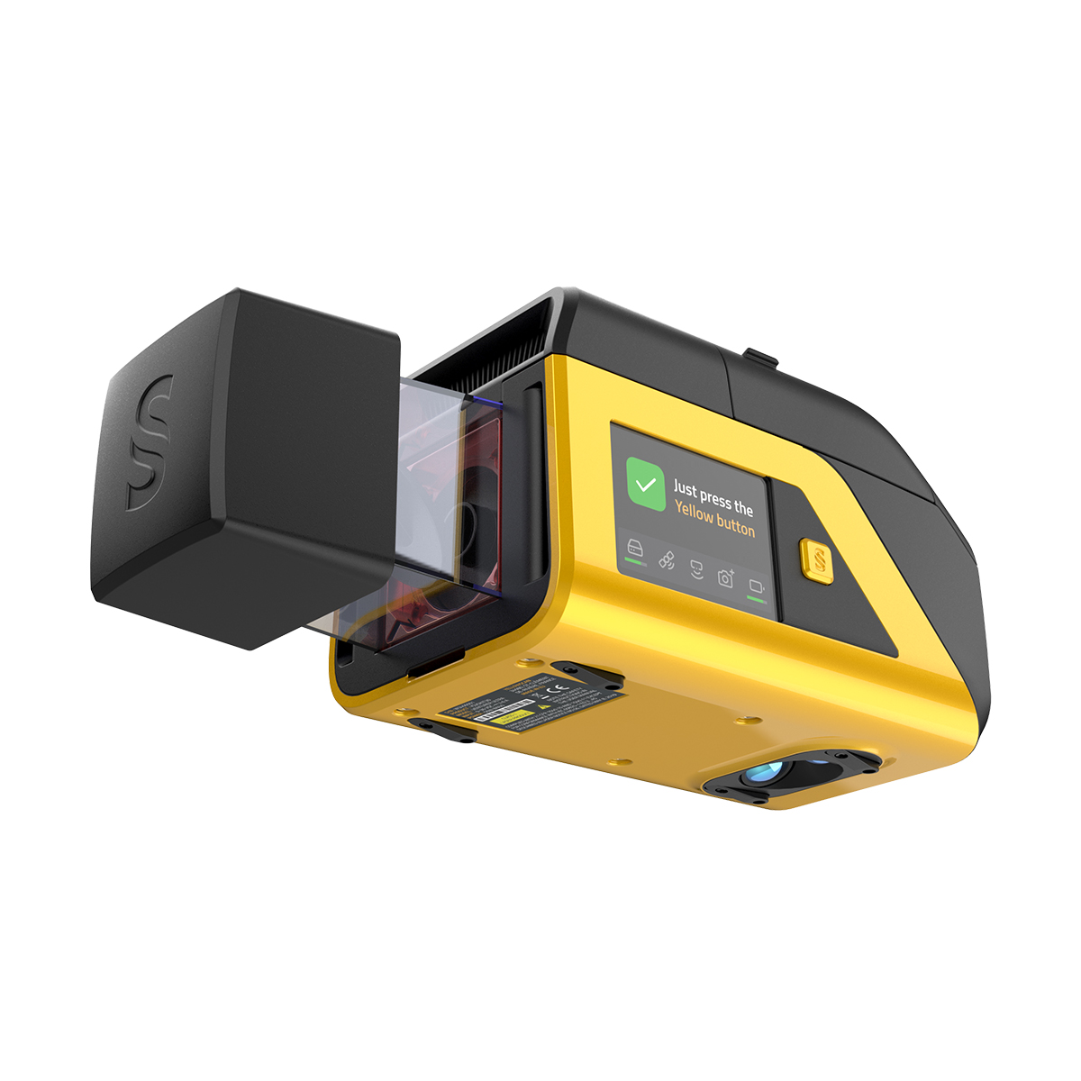
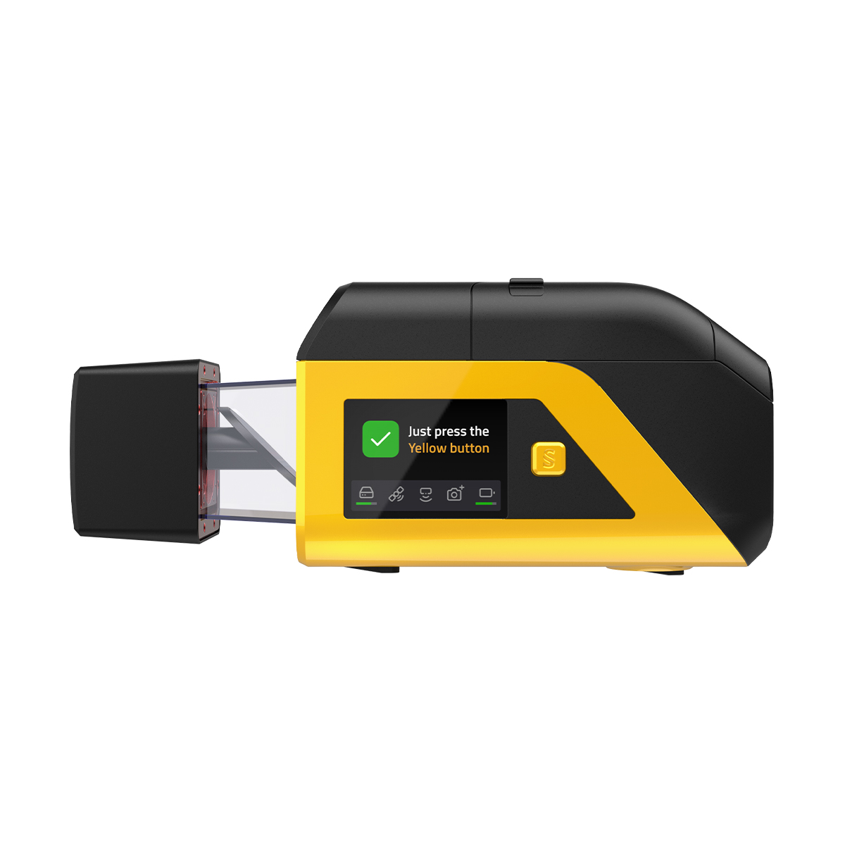
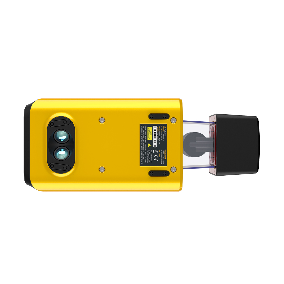
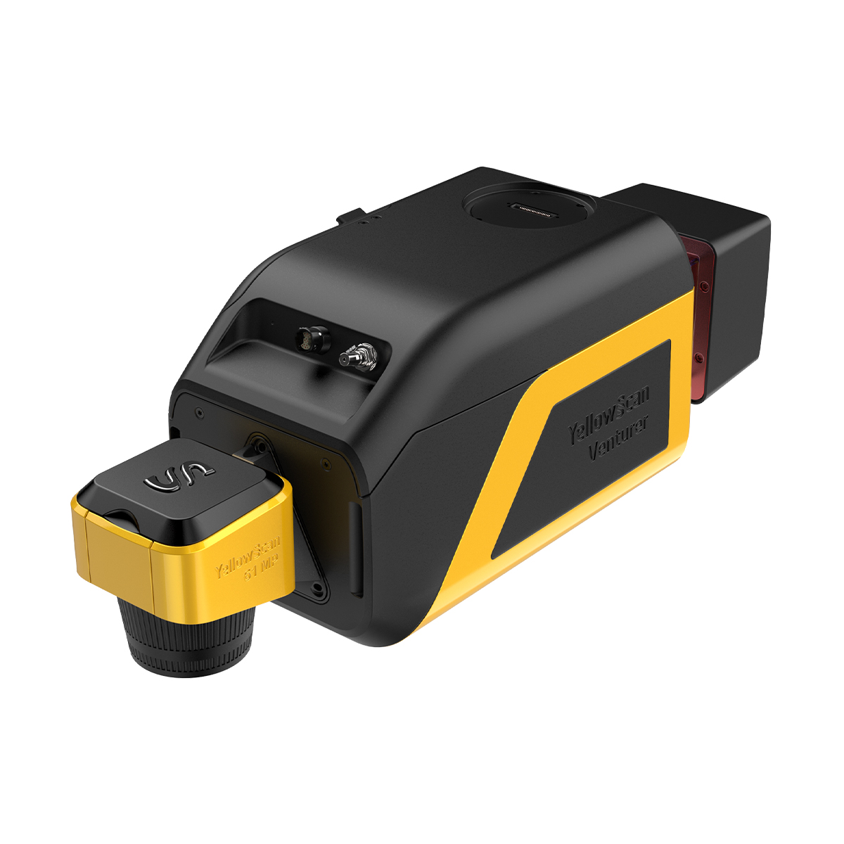
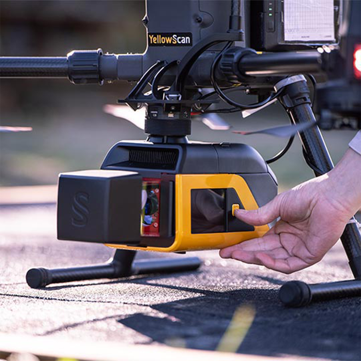
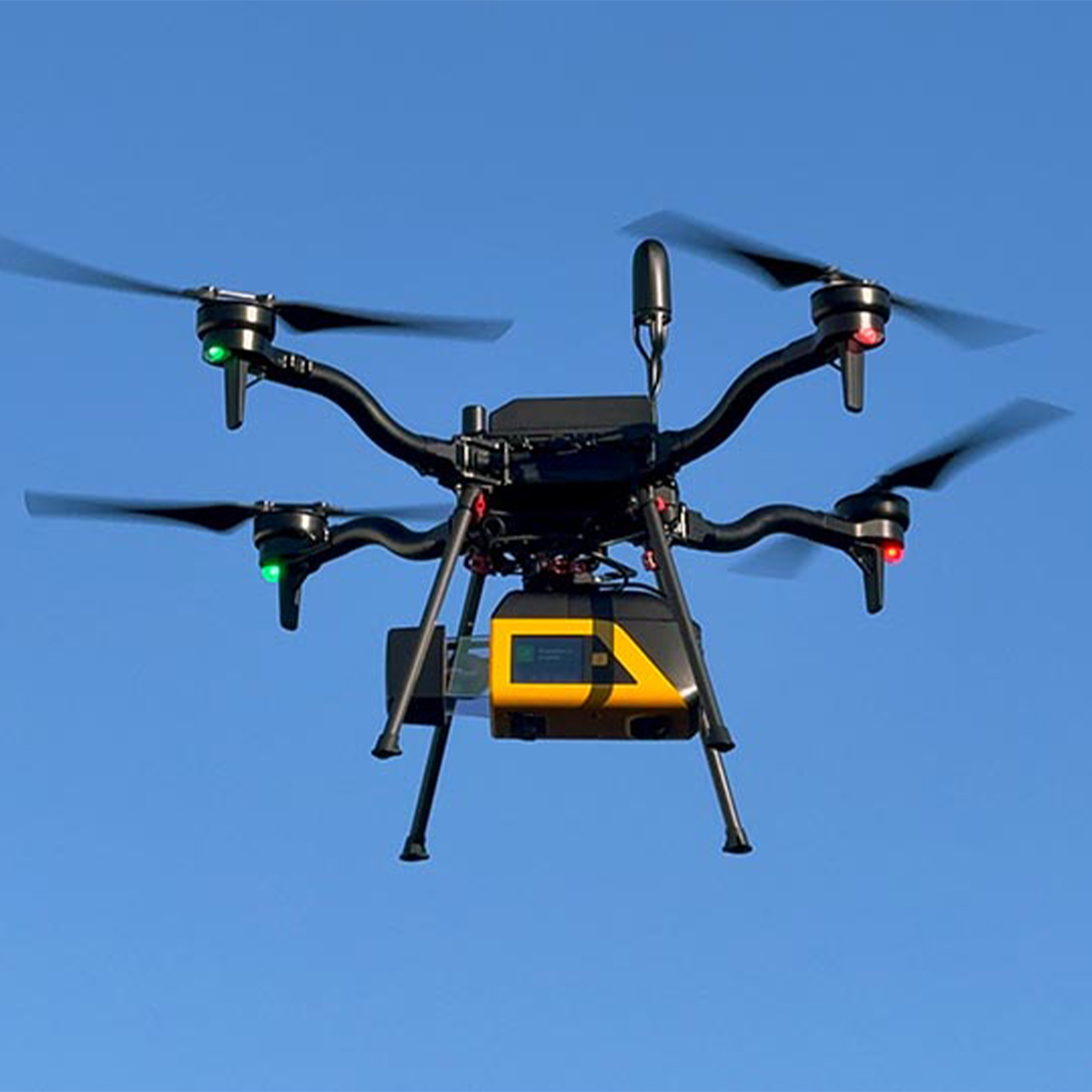
YellowScan Venturer YSVENTKIT-AP LiDAR System
Call for PriceYellowScan Venturer YSVENTKIT-AP LiDAR System
Confidence When it Matters Most
Built for survey and government missions where there is no second chance to fly, the YellowScan Venturer is an NDAA-compliant, survey-grade LiDAR system designed to remove uncertainty in the field. It gives teams confidence at takeoff, reliable results and full control over locally processed data through our dedicated CloudStation software.
Quick View -

YellowScan Voyager 50 YSVXKIT51 Integrated System
Call for Price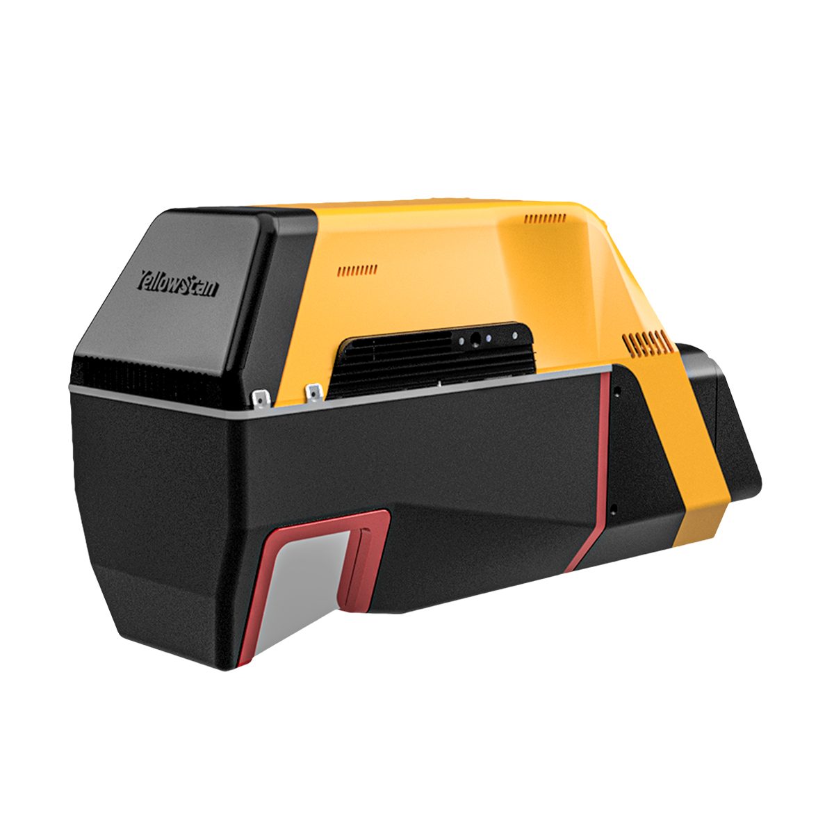


YellowScan Voyager 50 YSVXKIT51 Integrated System
Call for PriceYellowScan Voyager
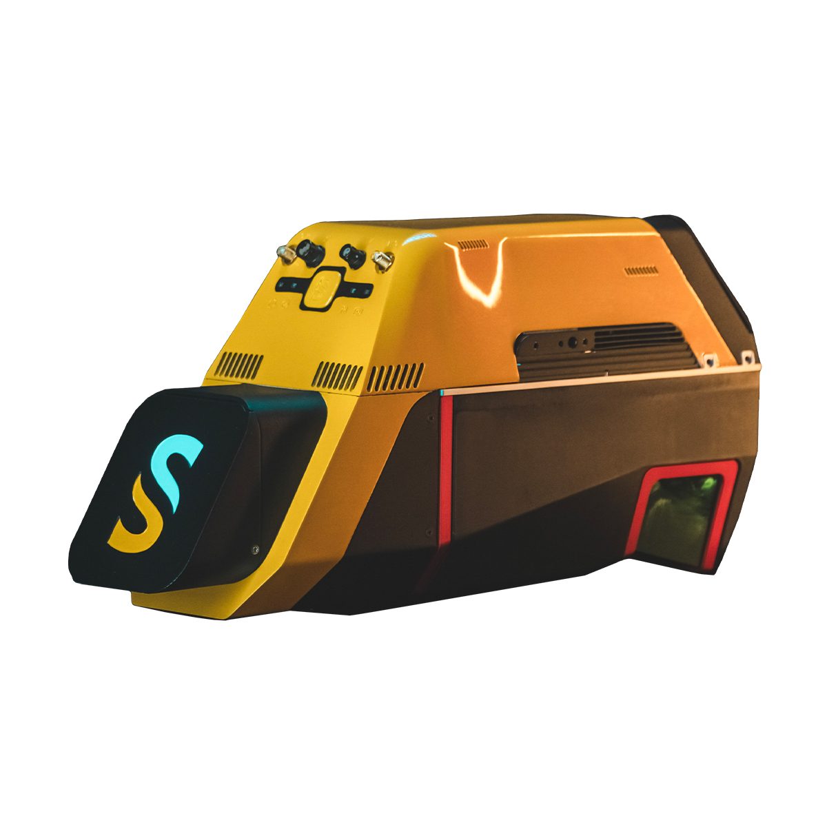
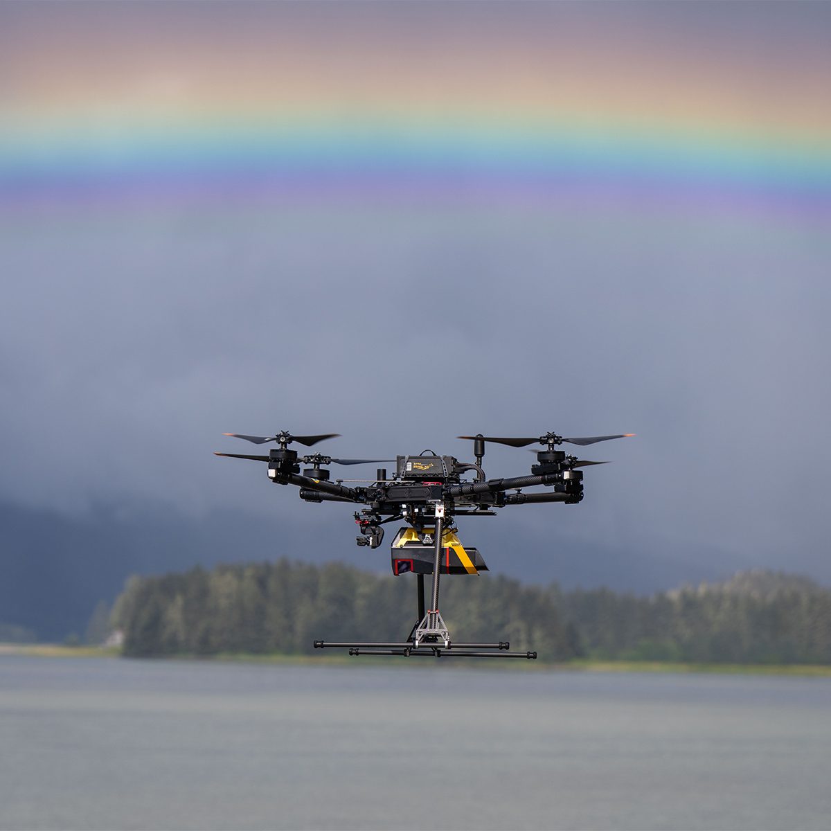
Precision meets reality.Complete more mission profiles with the YellowScan Voyager. The Voyager’s 100° FOV laser scanner and its extremely fast data acquisition rate of up to 2400 kHz while keeping top-of-the-line precision and accuracy makes this solution the best option for projects requiring both high density and quality.
Quick View -

YellowScan YS-Voyager-HeliMount Voyager Helicopter Mount
Call for Price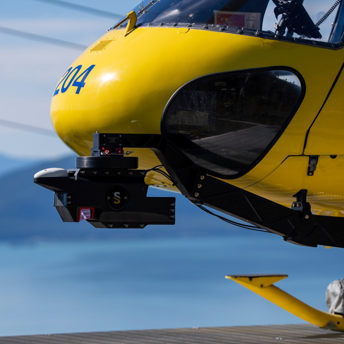

YellowScan YS-Voyager-HeliMount Voyager Helicopter Mount
Call for PriceYellowScan YS-Voyager-HeliMount Voyager Helicopter Mount
Multi-piece frame to mount the YellowScan Voyager Topographic LiDAR Solution for the Meeker Aviation AFSP-V2.
Quick View -
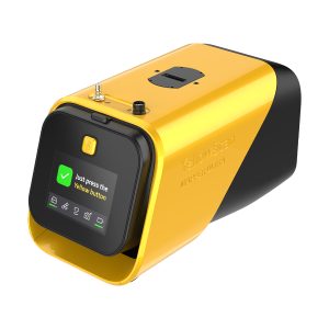
YellowScan YSMPULKIT-SB Mapper Ultra
Call for Price


YellowScan YSMPULKIT-SB Mapper Ultra
Call for PriceYellowScan YSMPULKIT-SB Mapper Ultra
Map Faster. Go Further. See Through.The YellowScan Mapper Ultra is designed for high-performance aerial mapping. With long-range capability, lightweight design, and high-altitude efficiency, it enables professionals to cover large areas faster. Its powerful multi-echo technology ensures sharp data and outstanding vegetation penetration, making it ideal for demanding corridor mapping projects.
Quick View