")
LEADING THE WAY IN TECHNOLOGY SINCE 1988


SHOP SOLUTIONS
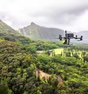
UNMANNED
Every place is in reach with our unmanned solutions.
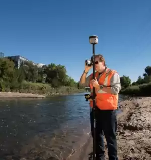
GEOSPATIAL
Accurately collecting data – geographically & topographically.

UNDERGROUND UTILITIES
Damaging buried utilities can be both expensive and dangerous.
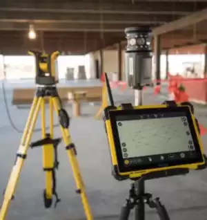
BUILDING CONSTRUCTION
At Frontier Precision, we’re constructing a smarter way to measure.

SOFTWARE & SERVICES
Providing accurate & efficient solutions with confidence.
FEATURED PRODUCTS
Filter By
Showing 109–126 of 687 results
-

DJI Mavic 3 Multispectral
Call for Price


DJI Mavic 3 Multispectral
Call for PriceSee More, Work Smarter
Effective aerial surveying needs to see the invisible. That’s why Mavic 3 Multispectral has two forms of sight. It combines an RGB camera with a multispectral camera to scan and analyze crop growth with total clarity. Agricultural production management requires precision and data, and Mavic 3M delivers both.Quick View -
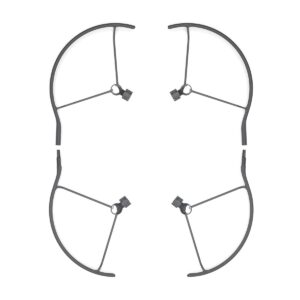
DJI Mavic 3 Propeller Guard
Call for Price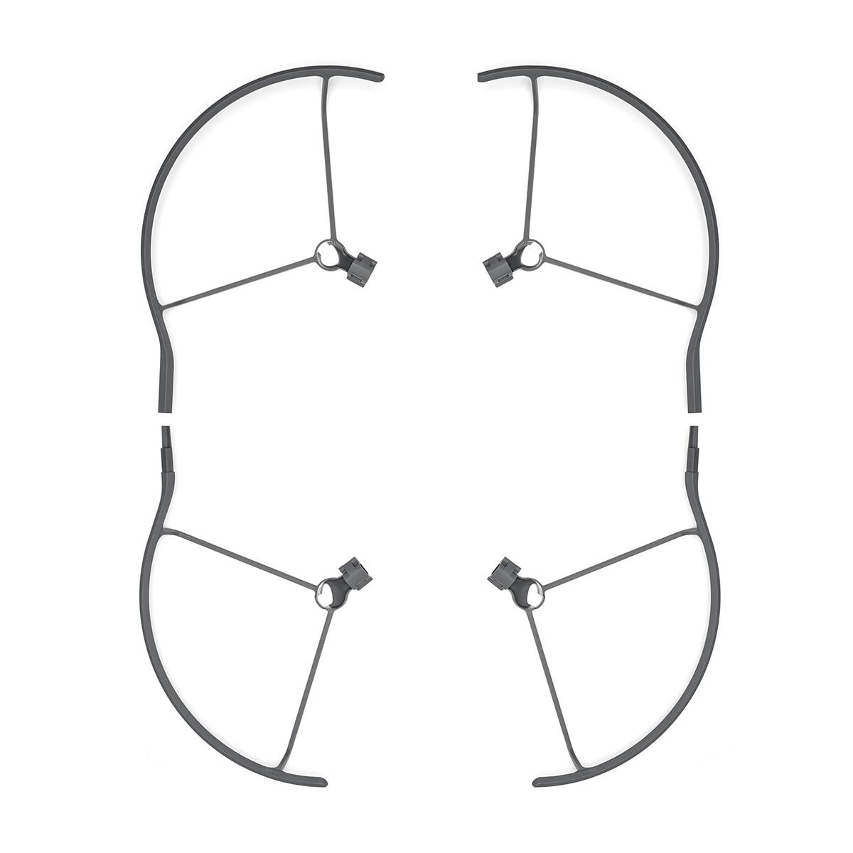
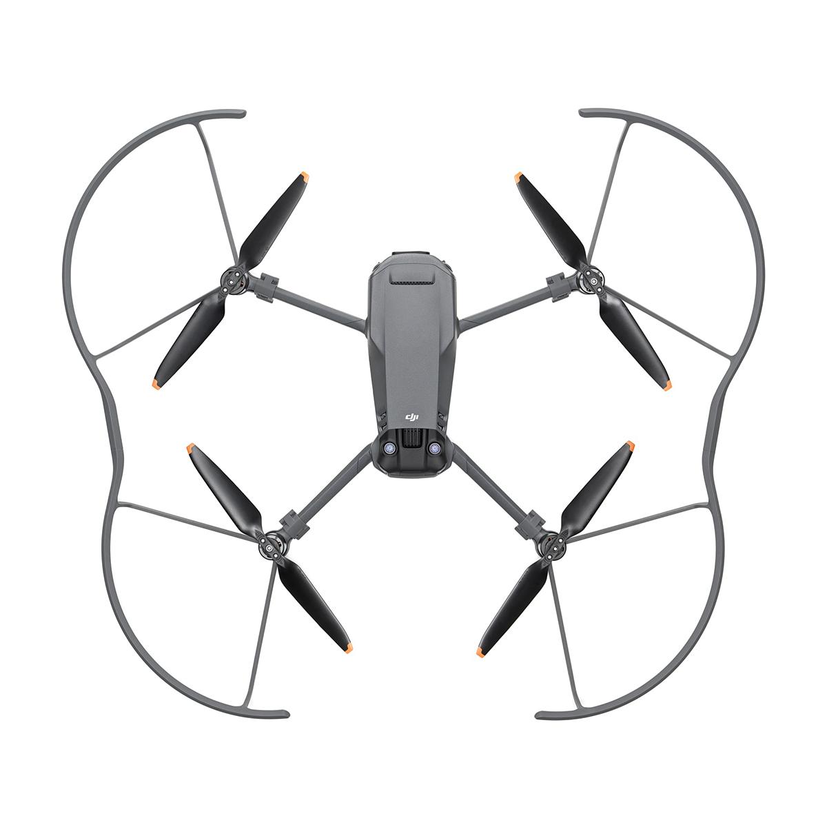
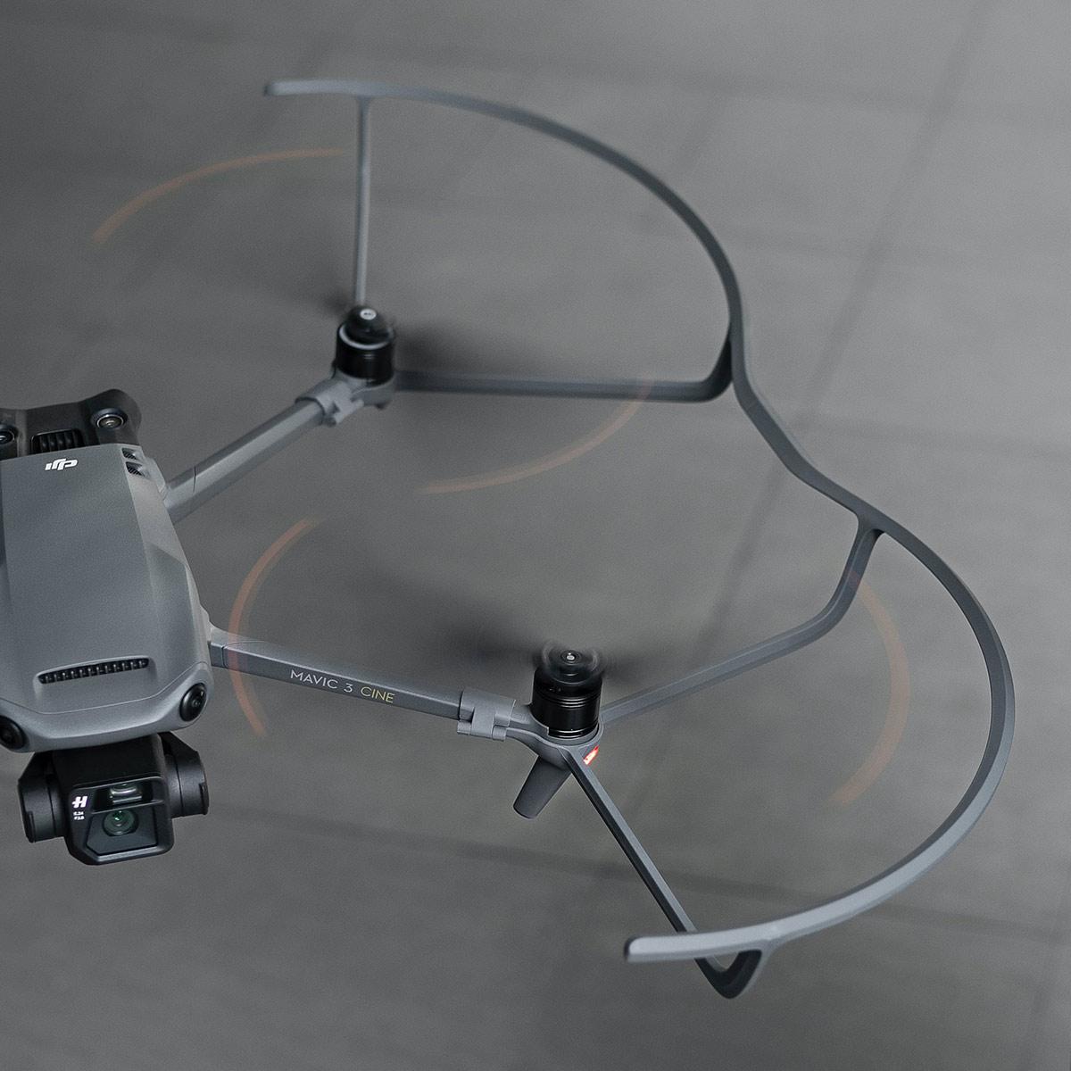
DJI Mavic 3 Propeller Guard
Call for PriceQuick View -

DJI Mavic 3 Thermal, 1 Year Basic
Call for Price

DJI Mavic 3 Thermal, 1 Year Basic
Call for PriceQuick View -
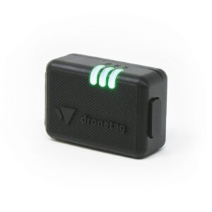
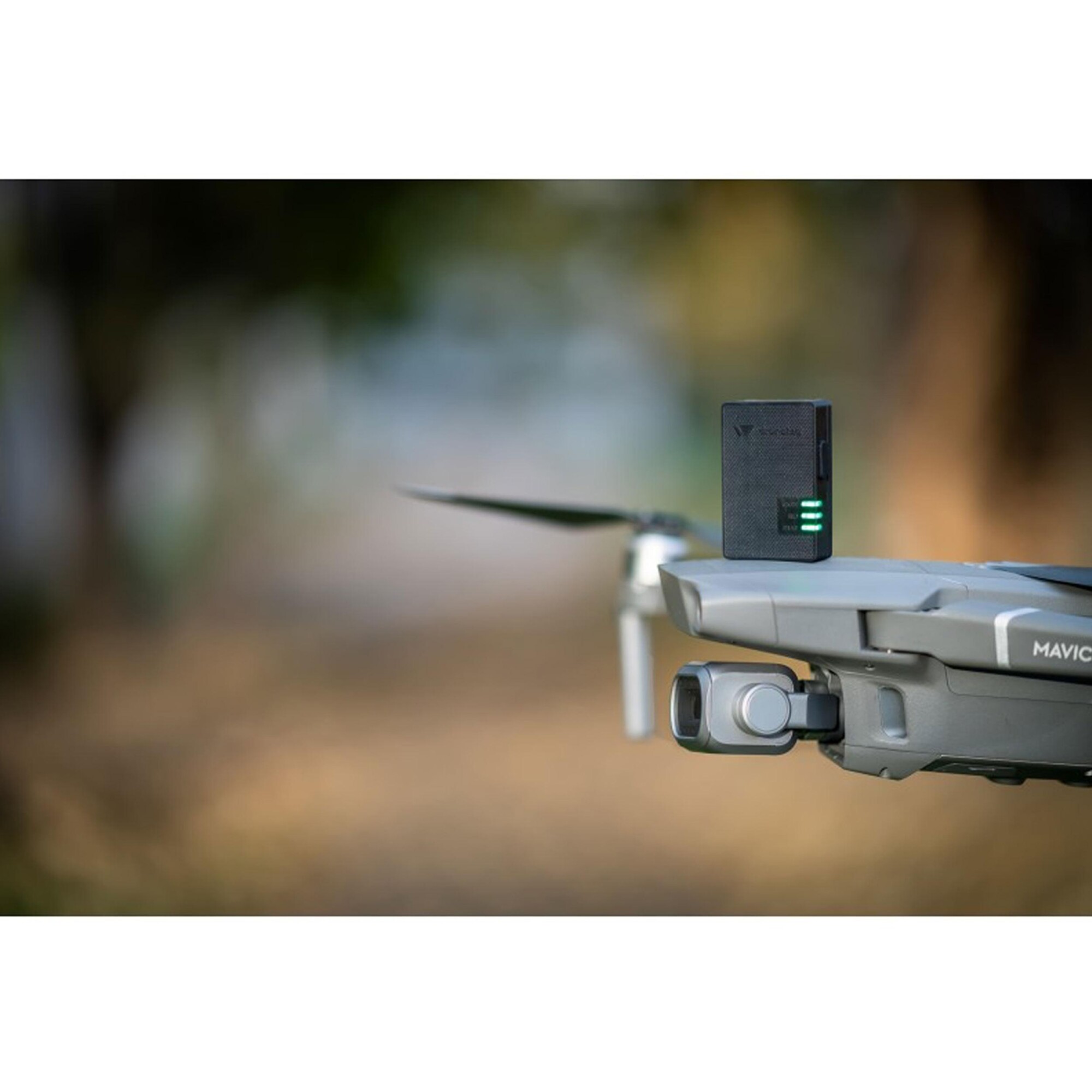
Dronetag Beacon
Call for Price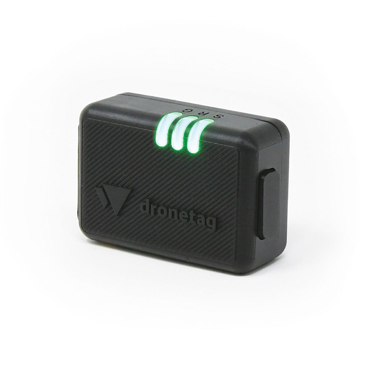
Dronetag Beacon
Call for PriceQuick View -
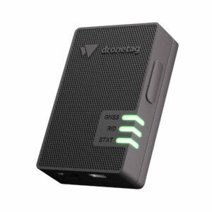
Dronetag Mini
Call for Price
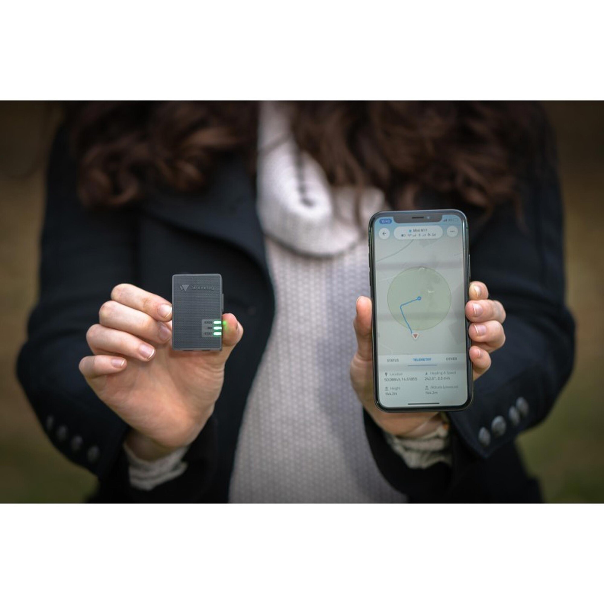
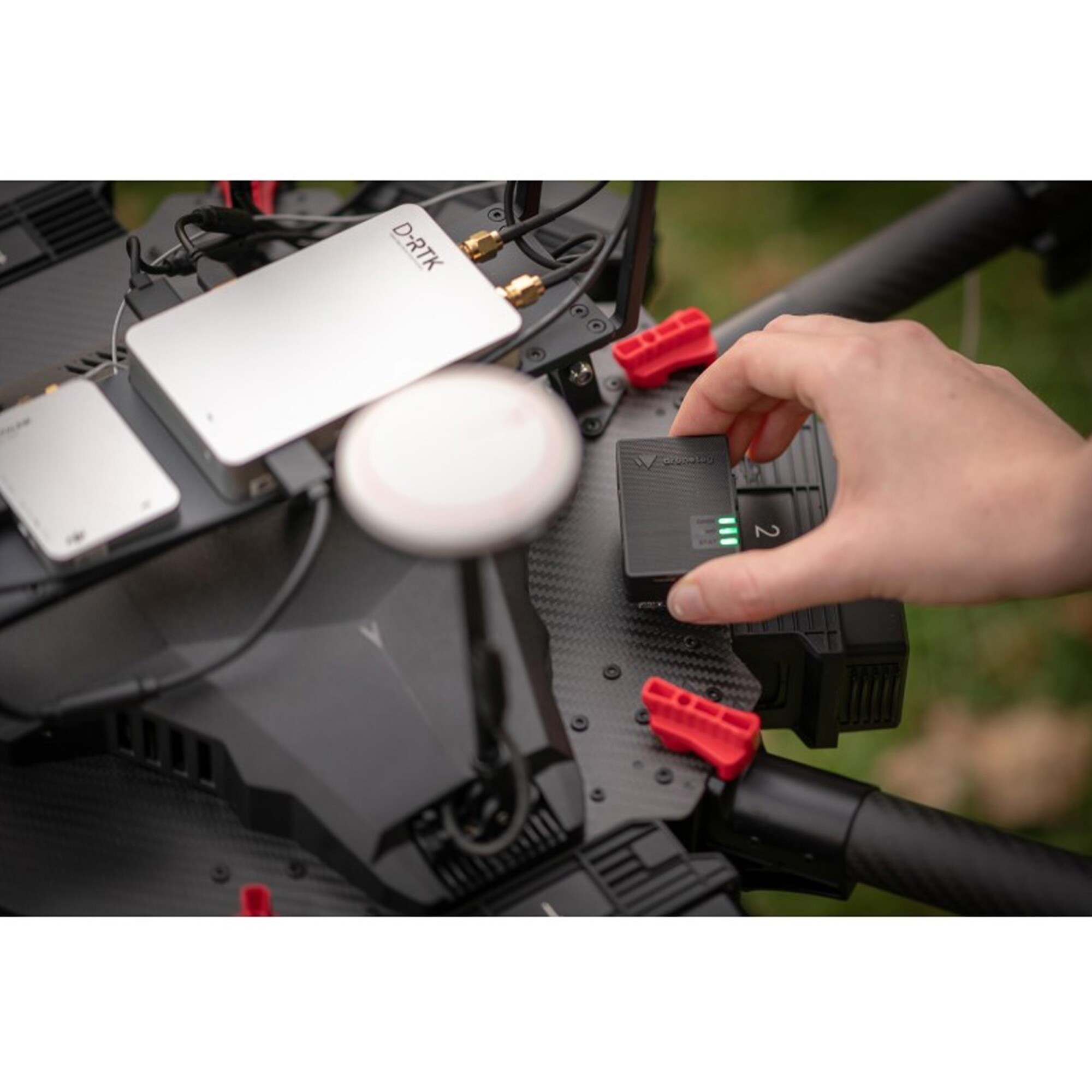
Dronetag Mini
Call for PriceQuick View -

DT8-05LS 5-Second Laser Sight Digital Theodolite with Optic
Call for Price
DT8-05LS 5-Second Laser Sight Digital Theodolite with Optic
Call for PriceDT8-05LS 5-second laser sight digital theodolite with optical plummet for centering over point. Laser beam is built into aperture for easy and accurate alignment.
Quick View -

DuraWheel Measuring Wheel ft/10ths
Call for Price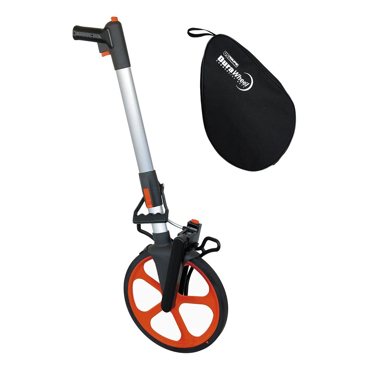
DuraWheel Measuring Wheel ft/10ths
Call for PriceQuick View -
New!

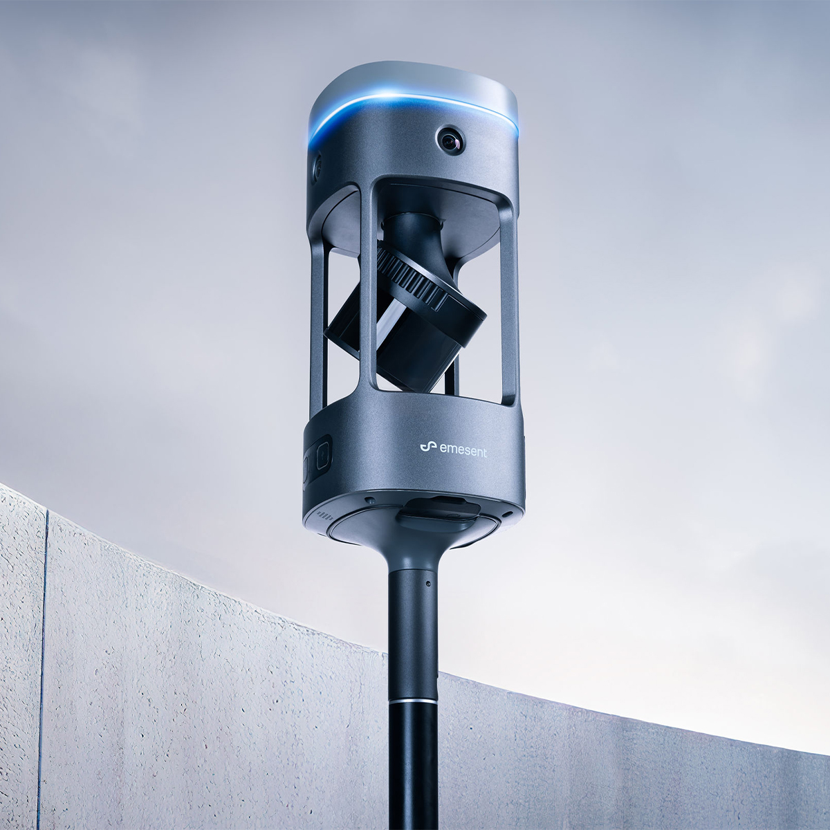
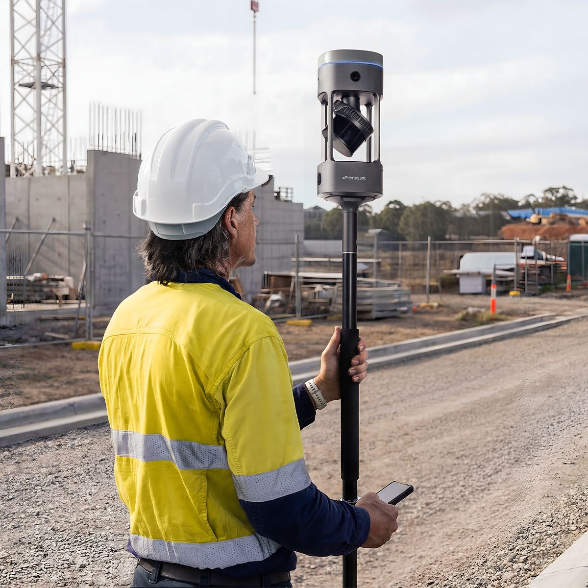
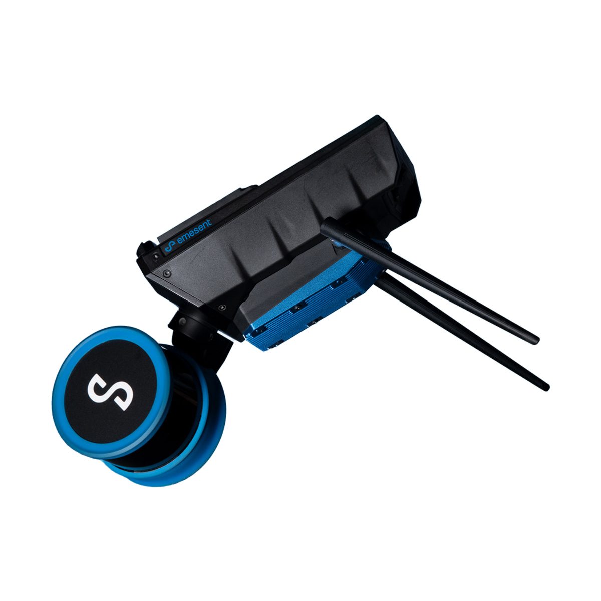
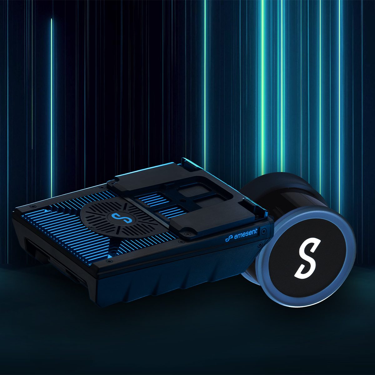
Emesent E00-GX1 RTK SLAM Scanner
Call for Price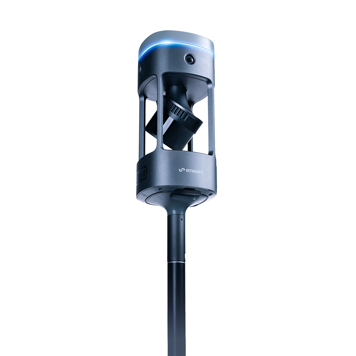

Emesent E00-GX1 RTK SLAM Scanner
Call for PriceEmesent E00-GX1 RTK SLAM Scanner
Reliable, highly accurate SLAM that works in any environment.
Emesent GX1 is the world’s most accurate RTK SLAM scanner, delivering 5-10mm global accuracy with integrated premium RTK georeferencing.Quick View -

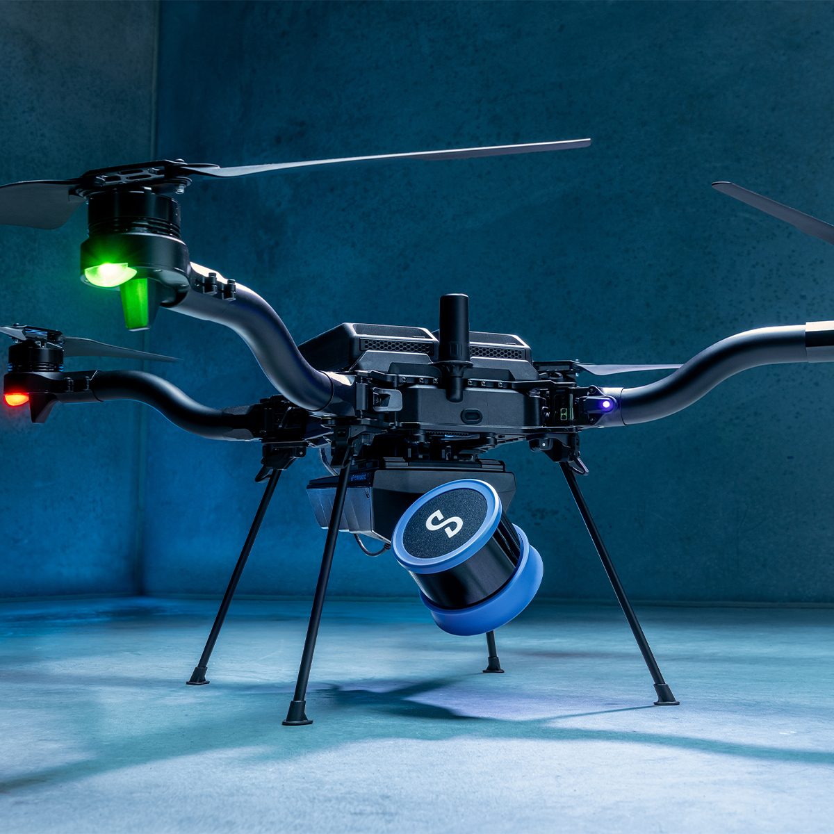
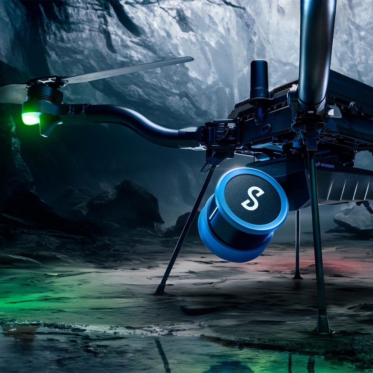
Emesent E00-HSTX-KIT Hovermap ST-X Kit
Call for Price

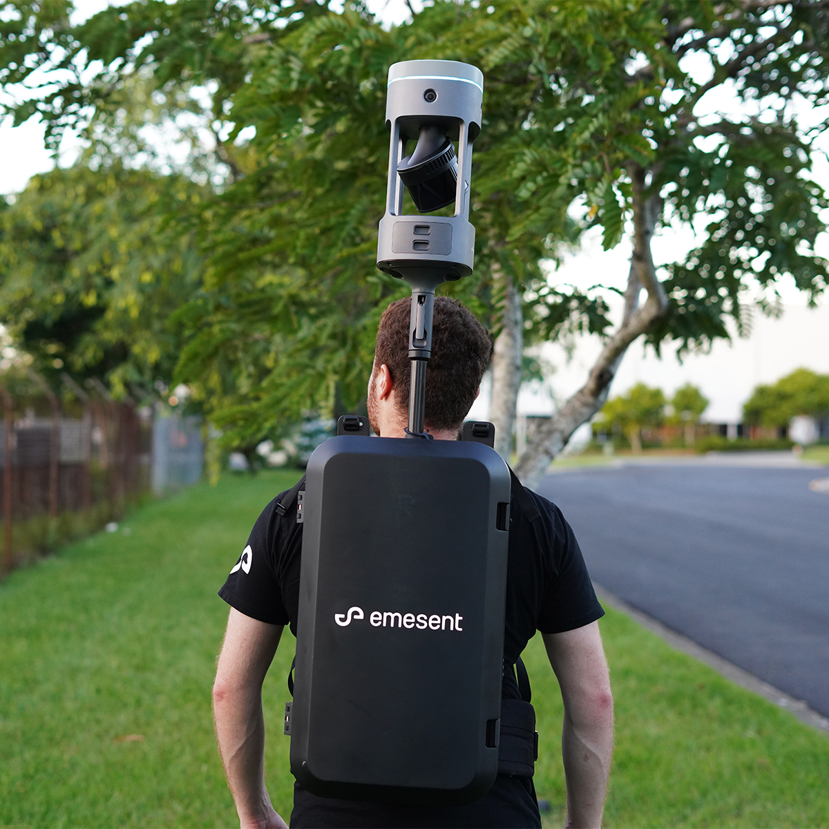
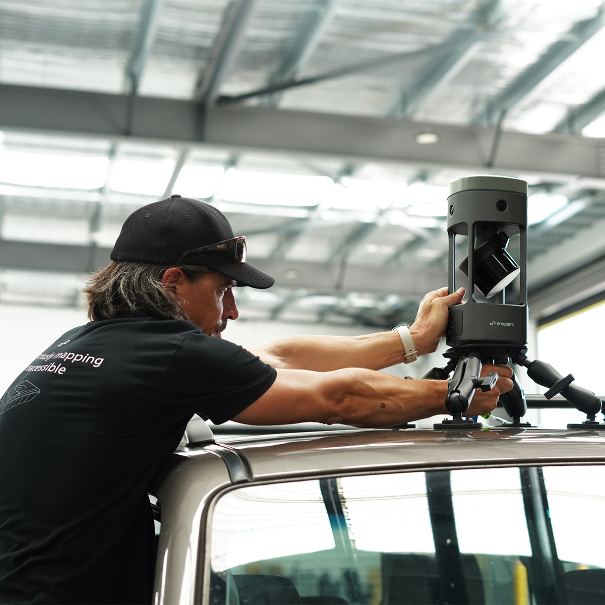
Emesent E00-HSTX-KIT Hovermap ST-X Kit
Call for PriceEmesent E00-HSTX-KIT Hovermap ST-X Kit
Fast, Accurate, High-detail Mobile Data Capture
Hovermap incorporates the latest in LiDAR sensing technology to offer high density point clouds with exceptional coverage. Featuring a sensing range of up to 300 meters and more than a million points per second, Hovermap captures detailed, accurate data over a wide area fast – accelerating your time to insight.
Emesent offers a choice of Hovermap business plans designed to match and support your specific LiDAR mapping and data visualization requirements.
Quick View -

Female Base Large
Call for Price
Female Base Large
Call for PriceQuick View -

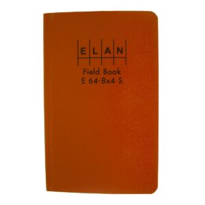
Field Book – One Job
Call for Price

Field Book – One Job
Call for PriceQuick View -
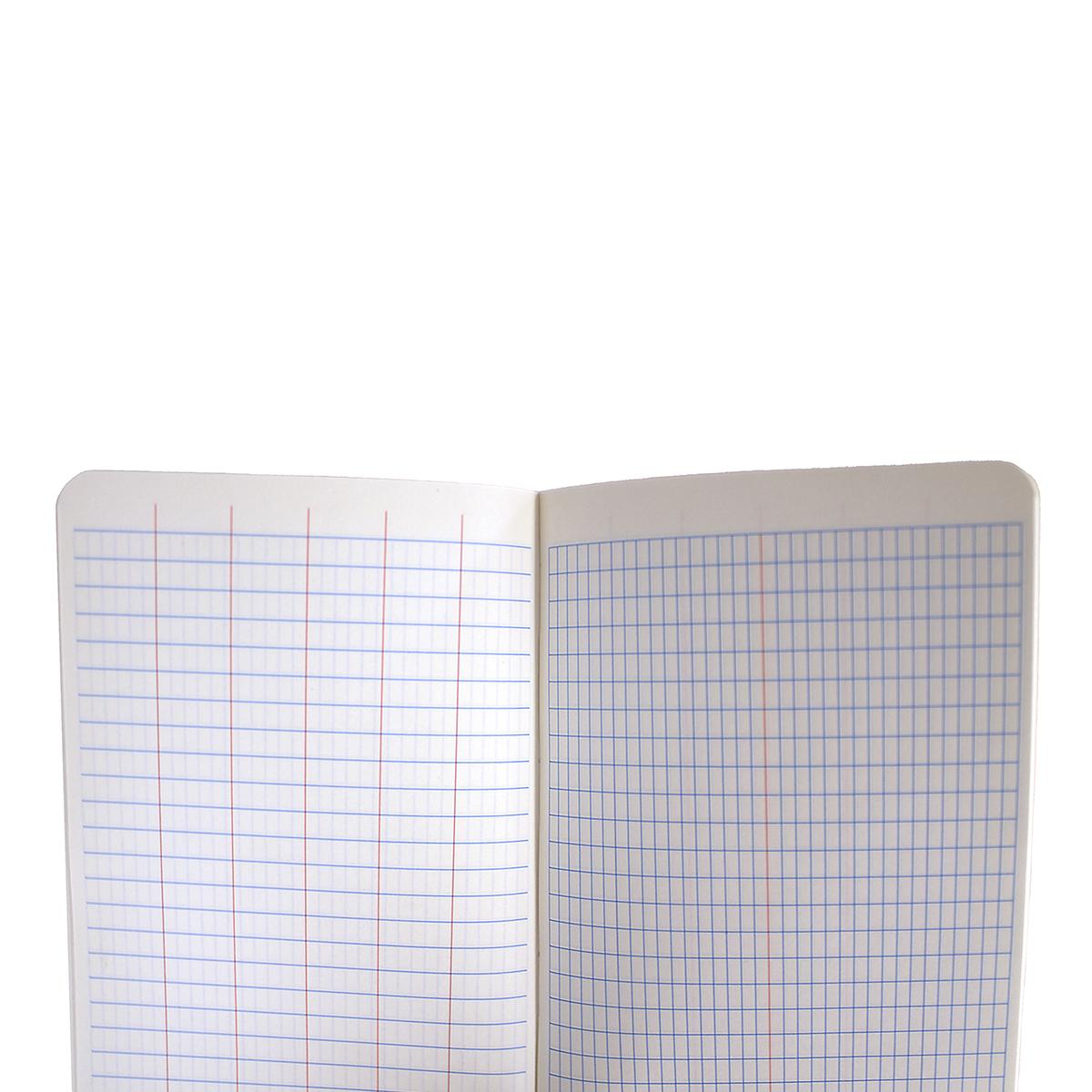
Field Books Paper
Call for Price
Field Books Paper
Call for PriceQuick View -
Field Books Sewed Bond
Call for Price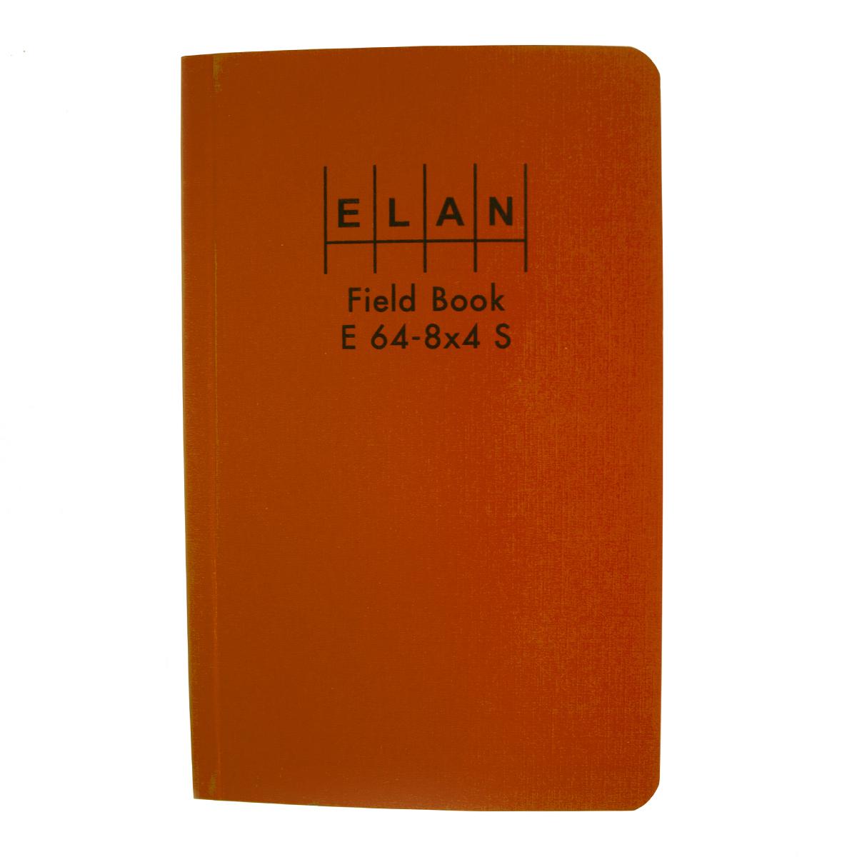
Field Books Sewed Bond
Call for PriceQuick View -
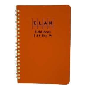
Field Books Wire Bound
Call for Price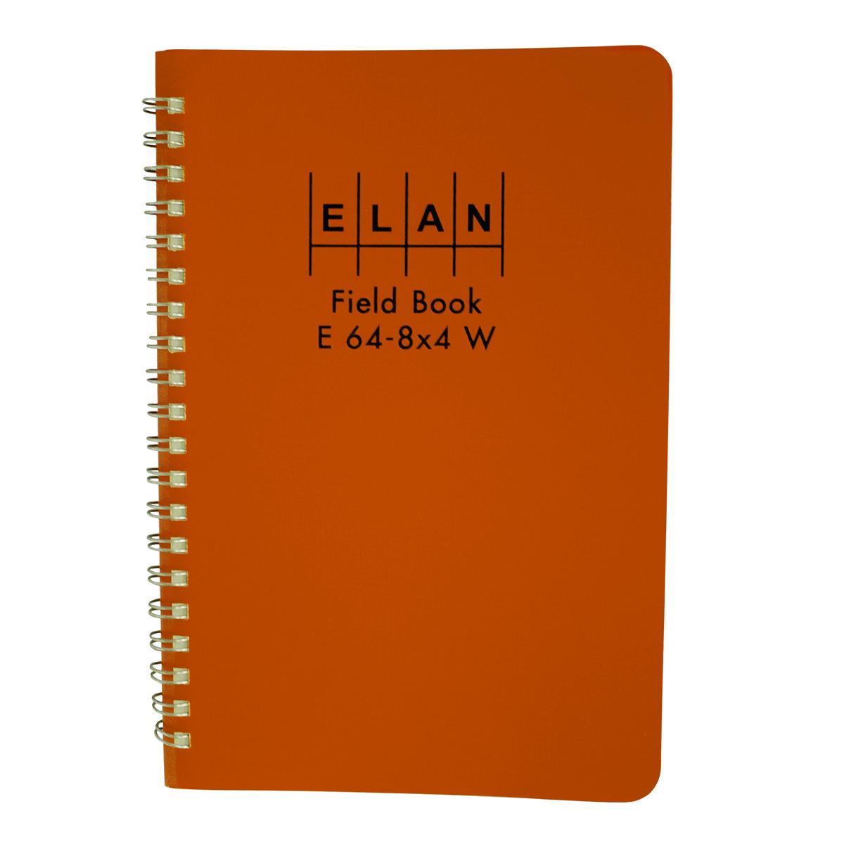
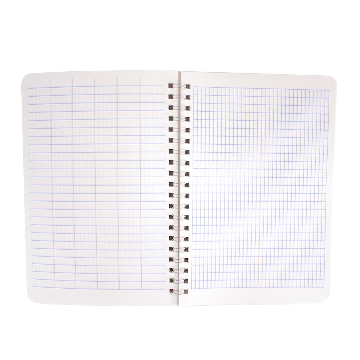
Field Books Wire Bound
Call for PriceQuick View -
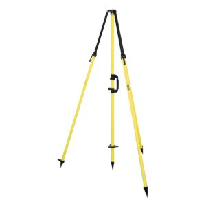
Fixed-Height GPS Antenna Tripod w/ 2m Center Staff – Standard Yellow
Call for Price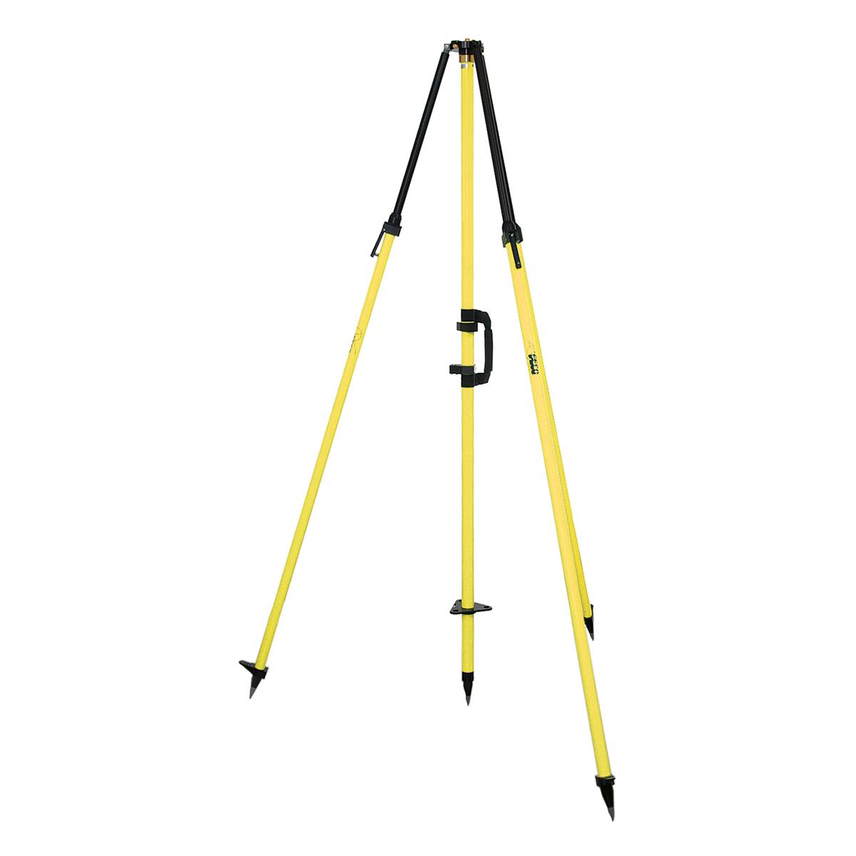
Fixed-Height GPS Antenna Tripod w/ 2m Center Staff – Standard Yellow
Call for PriceQuick View -
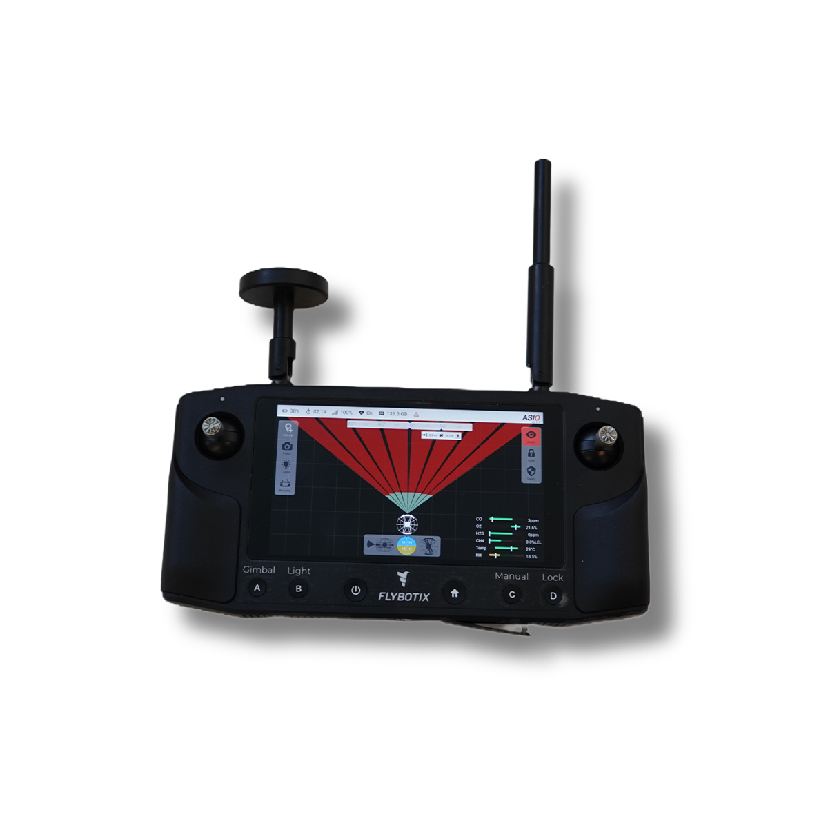
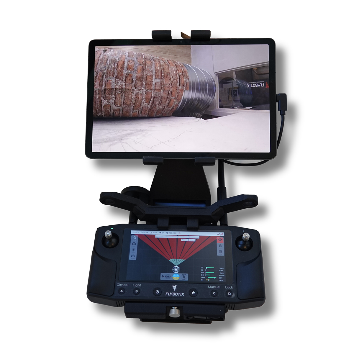
New!
Flybotix AMO0179-00.00 UXV Ground Control Station
Call for Price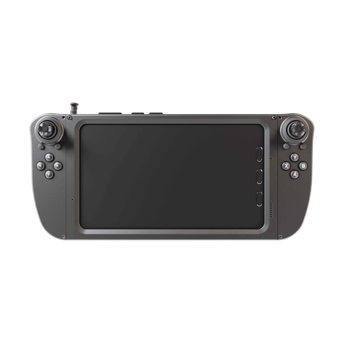


Flybotix AMO0179-00.00 UXV Ground Control Station
Call for PriceFlybotix AMO0179-00.00 UXV Ground Control Station
The Tab 5 is a ground control station intended for commercial use, optimizing the user experience with its sleek and improved ergonomic design.
Quick View -
New!

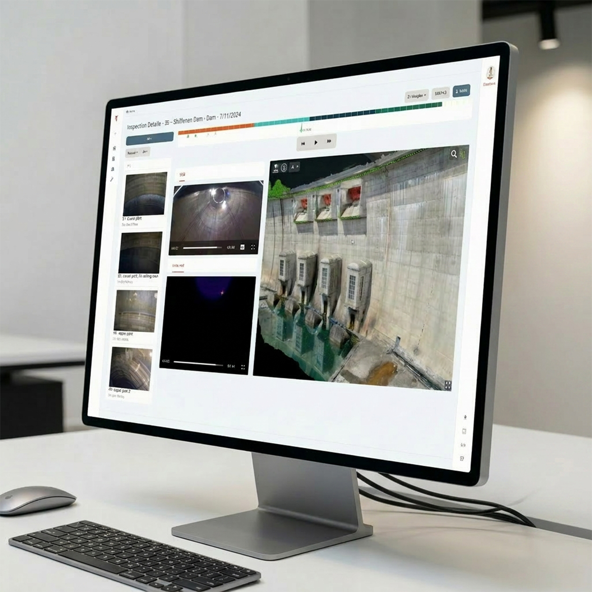
Flybotix FNA0006-00.00 ASIO Connect Premium – Yearly Subscription
Call for Price
Flybotix FNA0006-00.00 ASIO Connect Premium – Yearly Subscription
Call for PriceFlybotix FNA0006-00.00 ASIO Connect Premium – Yearly Subscription
All-in-One Platform for Intelligent Inspection
ASIO Connect enables you to streamline your inspection data processing workflow with a powerful cloud-based platform designed for efficiency and collaboration.Quick View -
New!
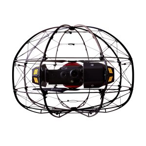
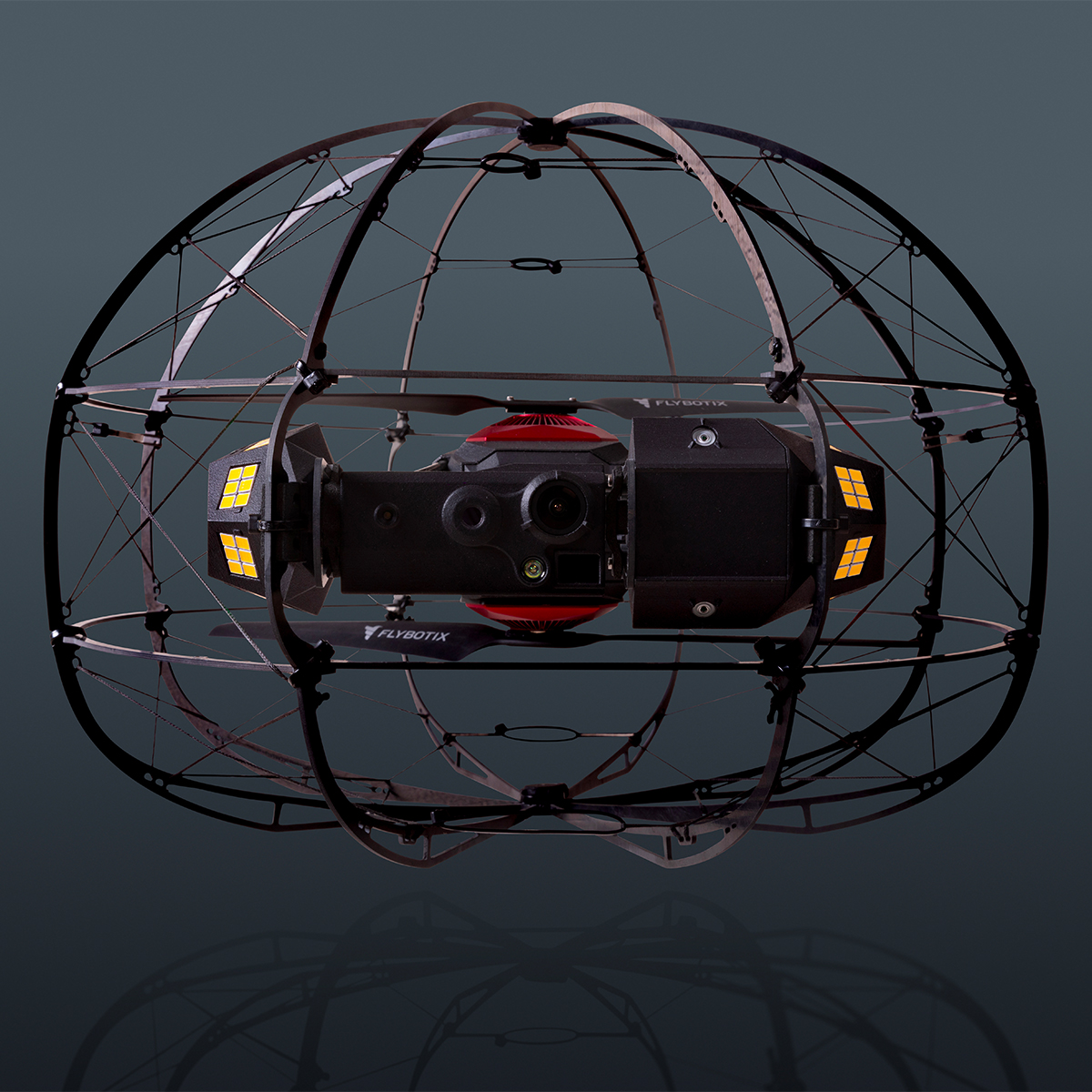
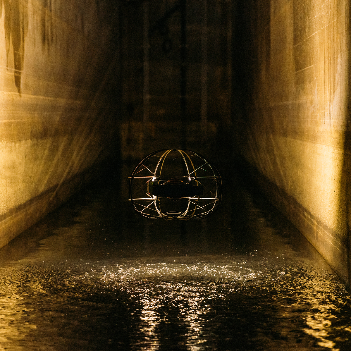
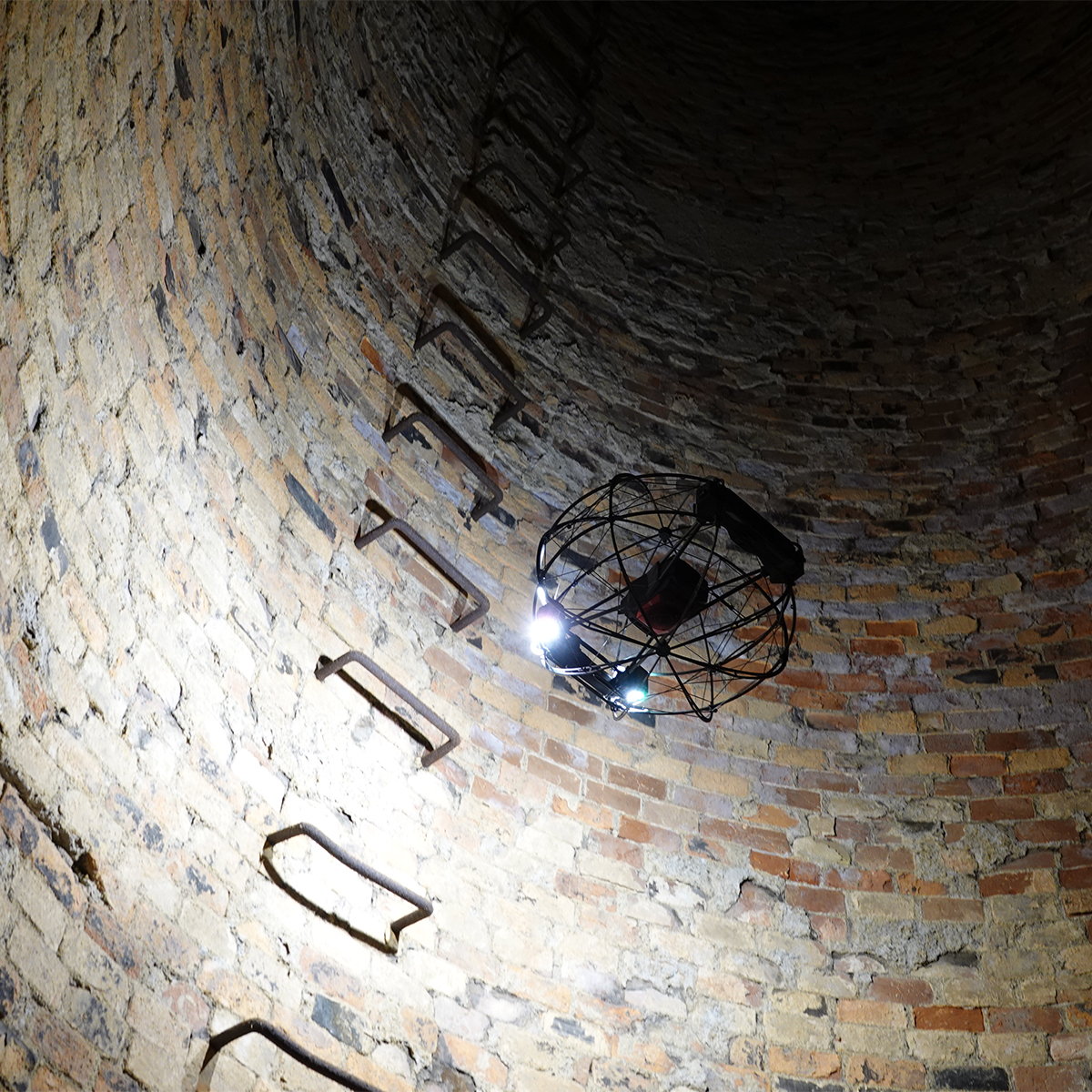
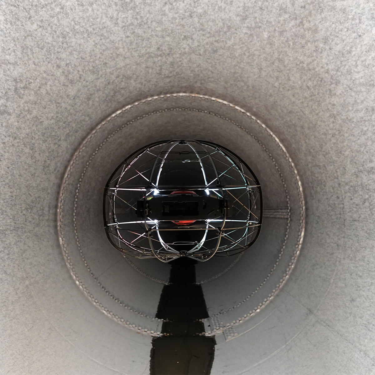
Flybotix KMC0001-02.00_BaHo ASIO X Drone – Black Herelink
Call for Price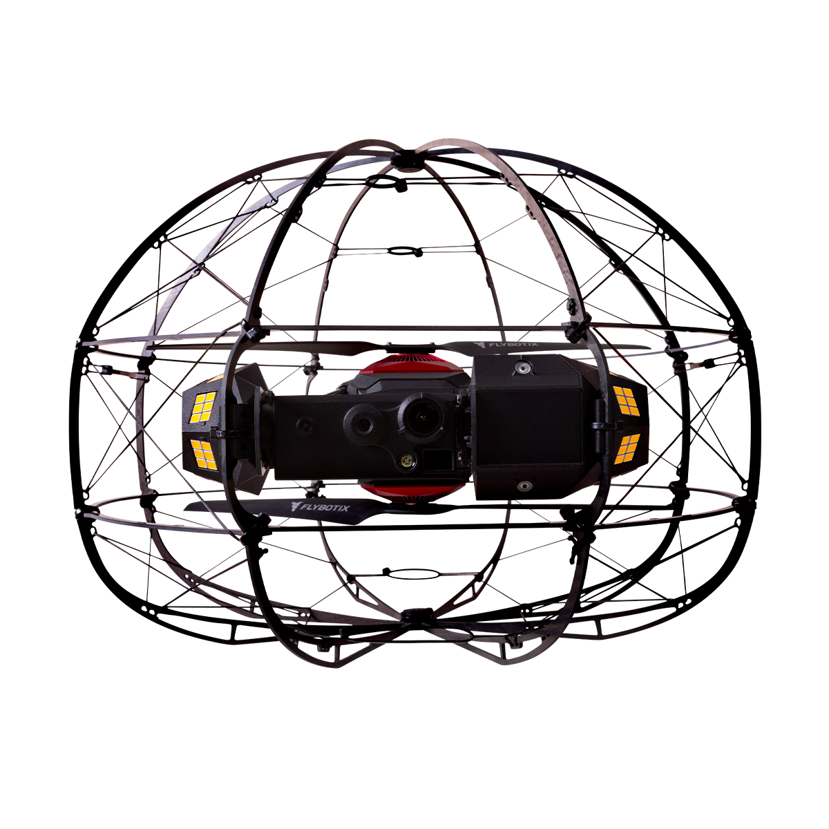
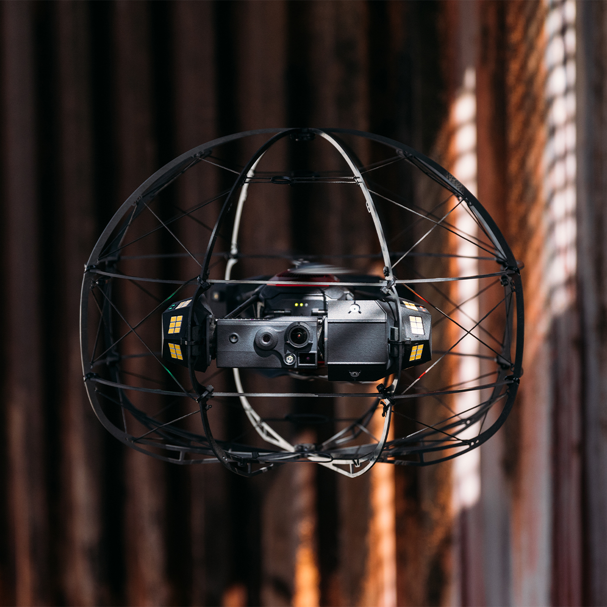

Flybotix KMC0001-02.00_BaHo ASIO X Drone – Black Herelink
Call for PriceFlybotix KMC0001-02.00_BaHo ASIO X Drone – Black Herelink
Drone-based solution for inspection and digitization of confined spaces.
The Flybotix ASIO X is an advanced, commercial-grade indoor inspection drone explicitly engineered to navigate hazardous, GPS-denied, and confined spaces.Quick View