")
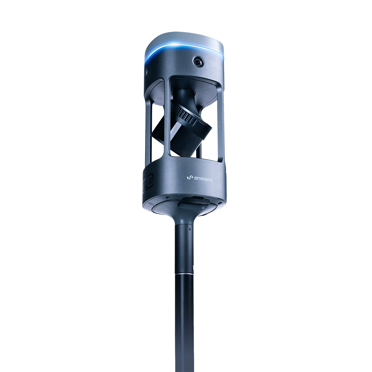
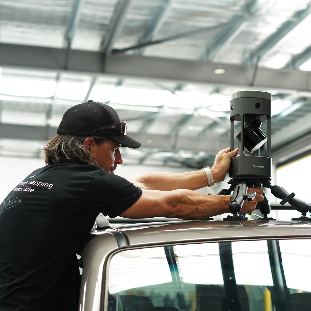
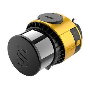
Emesent E00-GX1 RTK SLAM Scanner
Call for Price
Emesent E00-GX1 RTK SLAM Scanner
Reliable, highly accurate SLAM that works in any environment.
Emesent GX1 is the world’s most accurate RTK SLAM scanner, delivering 5-10mm global accuracy with integrated premium RTK georeferencing.


Emesent E00-GX1 RTK SLAM Scanner
Emesent GX1 gives surveyors what they've been asking for: mobile scanning speed with accuracy you can rely on, time and time again. Delivering 5-10mm global accuracy with integrated premium RTK georeferencing, GX1 eliminates the choice between fast scanning and accuracy you can trust - with GX1, you get both.
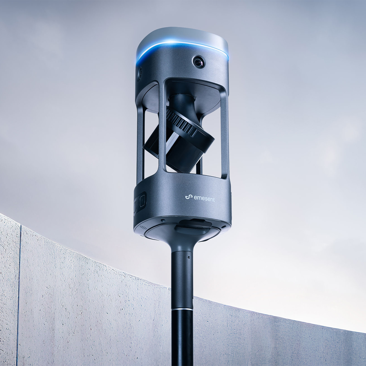
Rapid RTK quality monitoring and accuracy reports, plus 4x20MP cameras mean you can scan faster, prove accuracy instantly, and deliver professional-grade imagery that impresses clients.
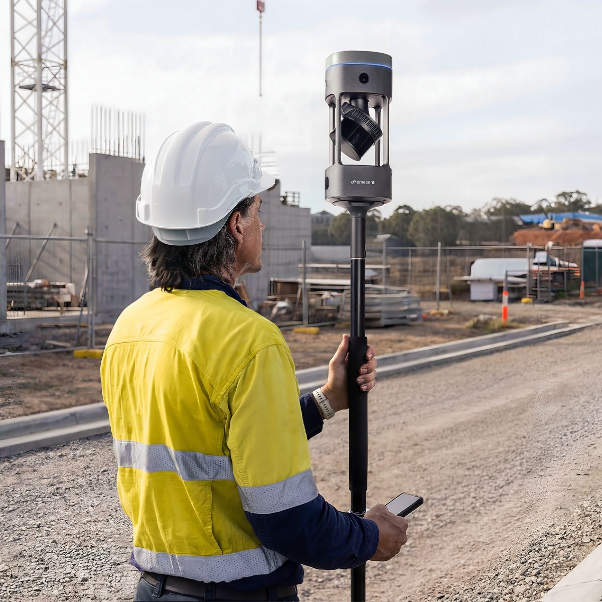
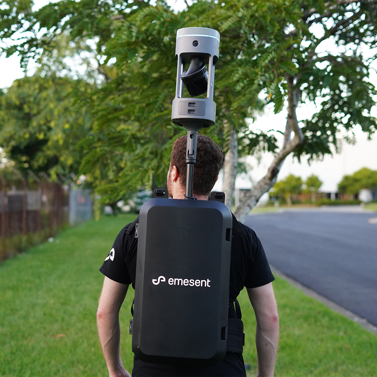
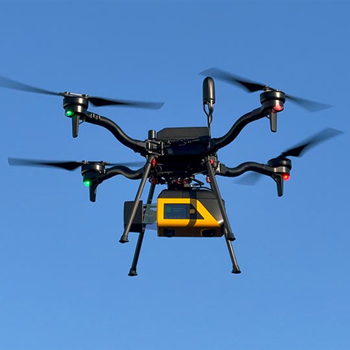
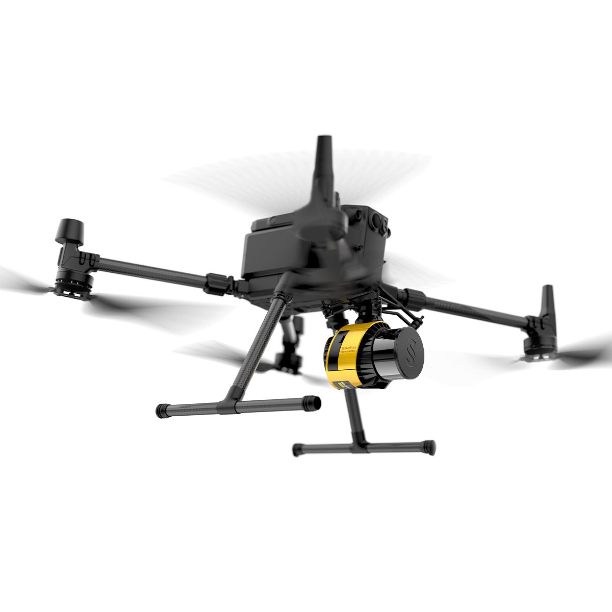
Deploy GX1 on backpack, survey pole, vehicle, or handheld depending on your project - road topographic surveys, construction progress tracking, Scan-to-BIM, or GPS-denied tunnels - with the same reliable Emesent SLAM proven in autonomous underground drone operations.
With integrated removable batteries (no cables), flexible georeferencing with user selected targets in Aura, unlimited on-prem data processing with no additional charges, 360° walkthroughs of your data available in Aura Cloud, and continuous software improvements, GX1 is the complete solution for surveyors who refuse to compromise on speed and accuracy.
Reliable, highly accurate SLAM that works in any environment.
Featuring 4×20MP cameras for stunning 360° panoramas and rapid accuracy reports in Aura, GX1 provides the proof professional surveyors need to stand behind their data.
- Emesent SLAM - Proprietary
- Hesai XT32M2X
- Premium, integrated RTK Receiver
- 1hr integrated battery
- Quick Mount Accessory
GX1 Features:
Emesent SLAM
Proven in some of the world’s most extreme environments via autonomous drone mapping, Emesent SLAM is the powerful technology that drives GX1’s impressive accuracy results.
Integrated RTK
GX1’s premium 448-channel RTK receiver delivers 0.6cm + 0.5ppm horizontal and 1cm + 0.5ppm vertical accuracy – supporting real-time monitoring.
Superb 360° Imagery
360° horizontal and 284° vertical coverage, GX1 captures every detail in a single pass, reducing mission times and saving on return visits.
Best-in-class LiDAR
1.92 million points per second, a 300m range for high-precision and 360° scanning for capturing accurate data quickly and reliably.
Unlimited Processing, No Usage Fees
Process unlimited datasets on-premise with no per-scan charges or cloud processing costs that eat into your project margins.
Enhanced End-to-End Workflow
A complete survey system from in-field monitoring and capture to point cloud processing – and integrations with industry platforms like Revit.
Related products
-

AgEagle MicaSense Series Altum-PT Multispectral Kit + DJI Skyport for M300
Call for Price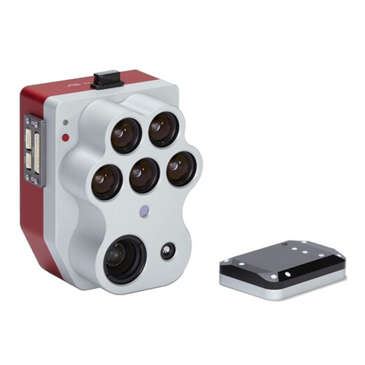


AgEagle MicaSense Series Altum-PT Multispectral Kit + DJI Skyport for M300
Call for PriceQuick View -
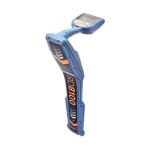
Radiodetection RD8100 PDLMG RF Marker Locator
Call for Price
Radiodetection RD8100 PDLMG RF Marker Locator
Call for PriceOnly available in WA, OR, ID, MT, WY, CO, HI, and AK.
Precision Locator RangeThe RD8100 RF Marker and Buried Utility Locator range is designed for locate professionals who need to detect RF markers and buried utilities. The RD8100 RF Marker Locator is our most advanced model and is optimized for more complex situations.
Quick View -

YellowScan Venturer YSVENTKIT-AP LiDAR System
Call for Price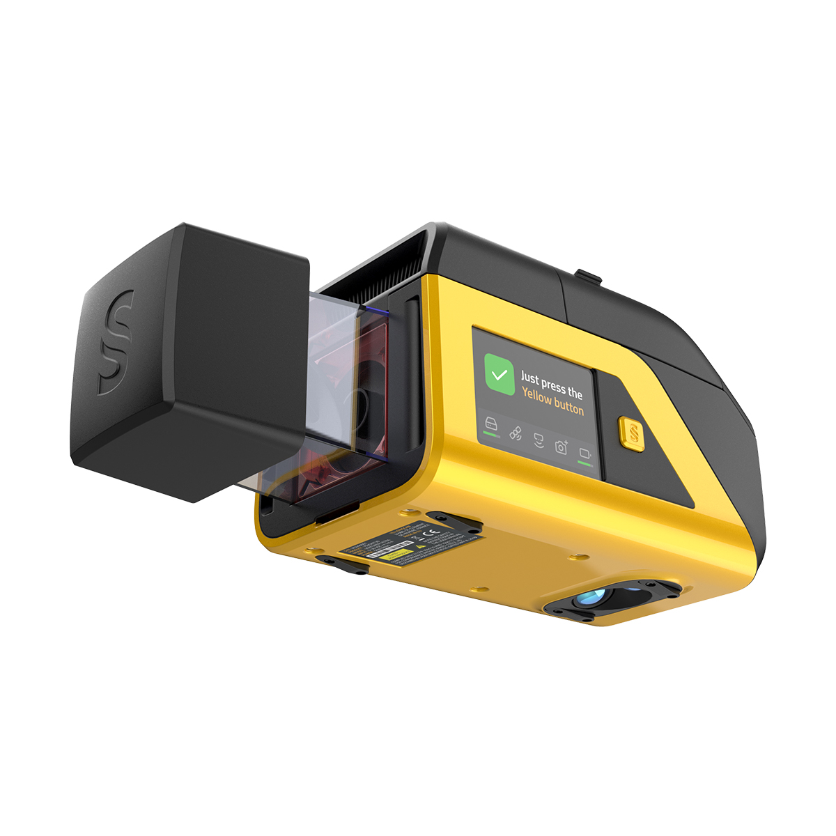
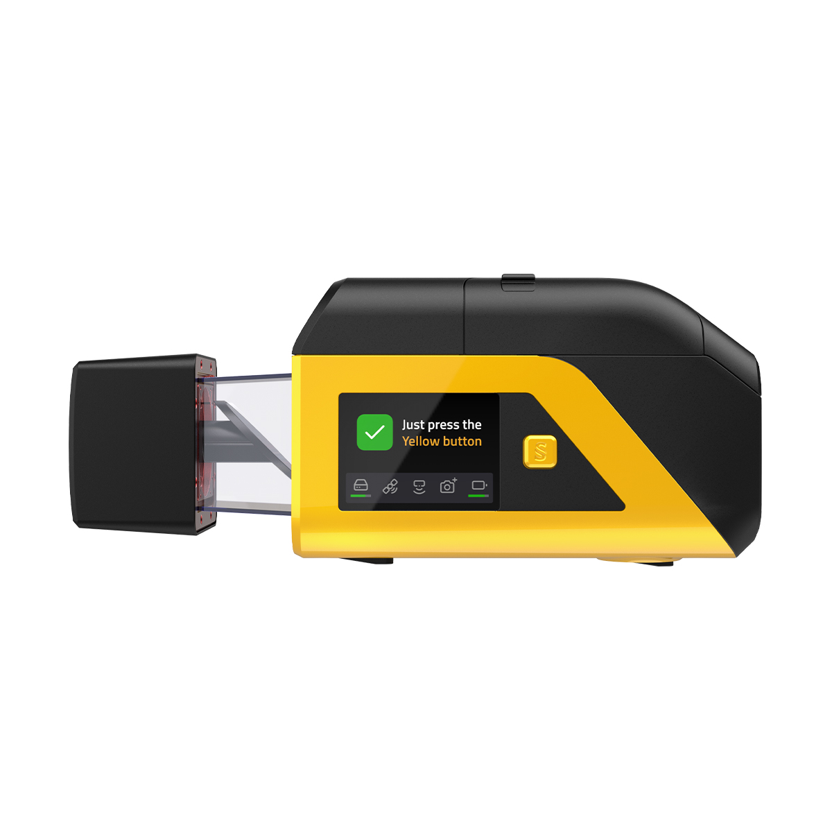

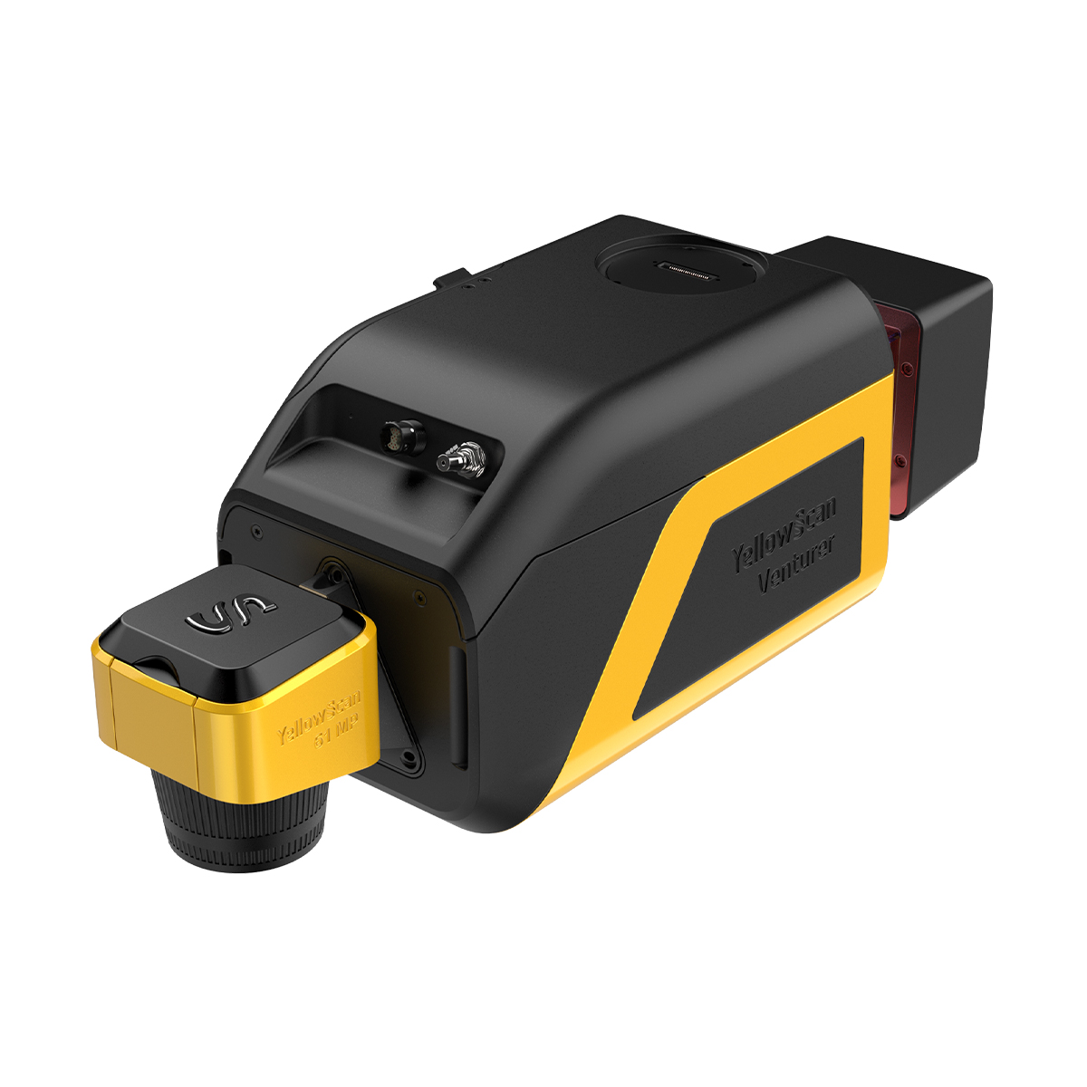
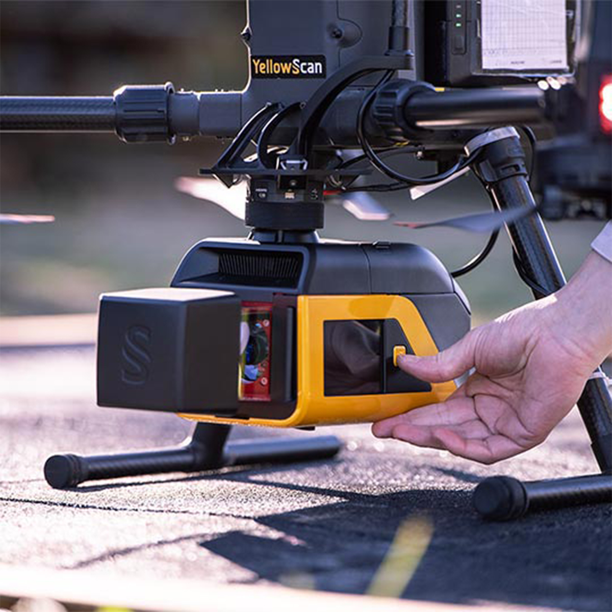

YellowScan Venturer YSVENTKIT-AP LiDAR System
Call for PriceYellowScan Venturer YSVENTKIT-AP LiDAR System
Confidence When it Matters Most
Built for survey and government missions where there is no second chance to fly, the YellowScan Venturer is an NDAA-compliant, survey-grade LiDAR system designed to remove uncertainty in the field. It gives teams confidence at takeoff, reliable results and full control over locally processed data through our dedicated CloudStation software.
Quick View -
YellowScan Surveyor Ultra 3 YSSVKIT30 Integrated System
Call for Price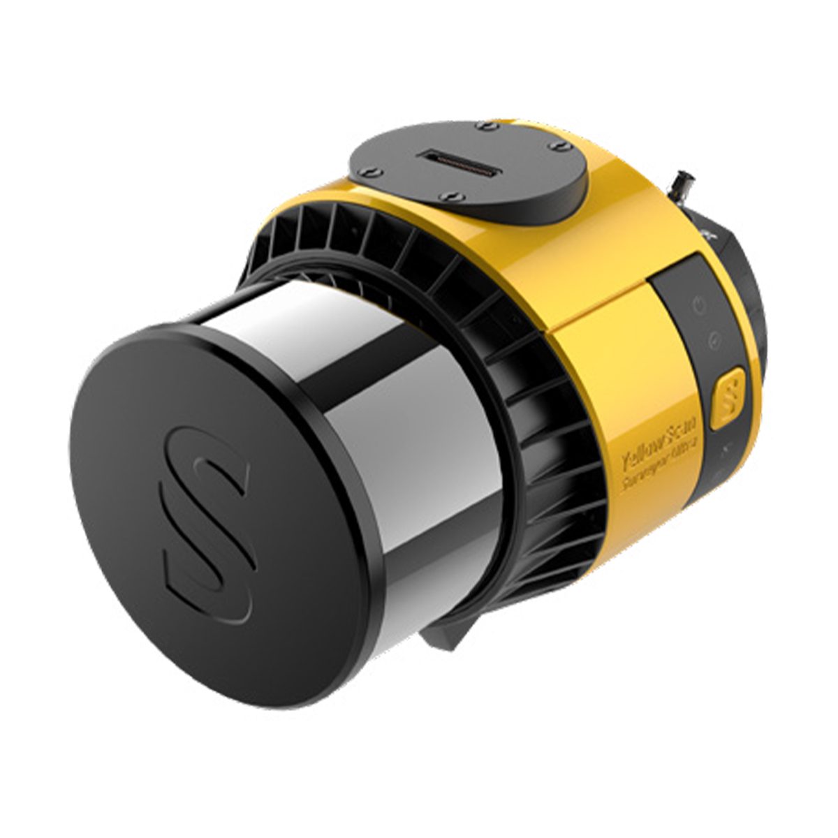
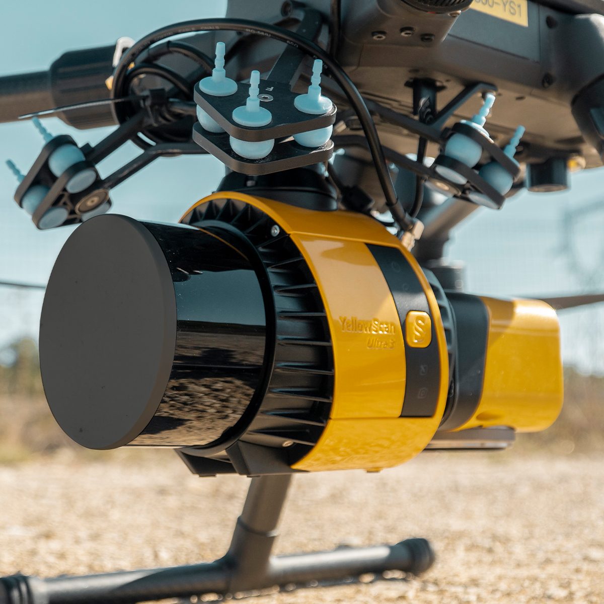
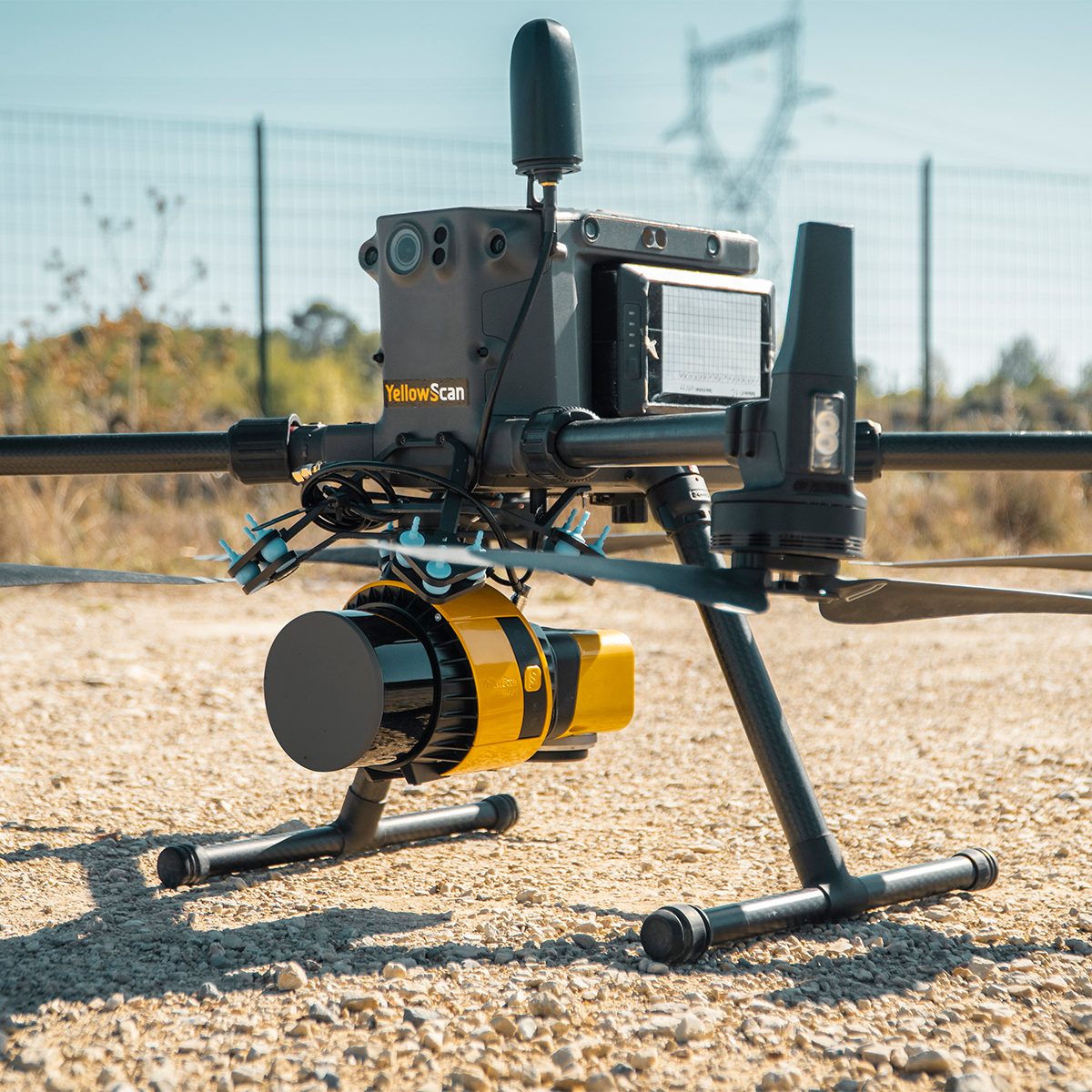
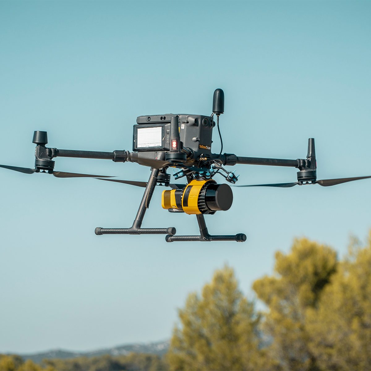
YellowScan Surveyor Ultra 3 YSSVKIT30 Integrated System
Call for PriceYellowScan Surveyor Ultra
Affordability. Flexibility. Productivity.
The YellowScan Surveyor Ultra marks a new generation of YellowScan LiDAR systems integrating SBG Systems’ IMU, combined with an integrated RGB camera for colorization purposes. Combining light weight and high density, its flexiblity makes a great addition anywhere.
Quick View