")
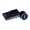
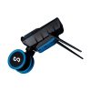
Emesent E00-HSTX-KIT Hovermap ST-X Kit
Call for Price
Emesent E00-HSTX-KIT Hovermap ST-X Kit
Fast, Accurate, High-detail Mobile Data Capture
Hovermap incorporates the latest in LiDAR sensing technology to offer high density point clouds with exceptional coverage. Featuring a sensing range of up to 300 meters and more than a million points per second, Hovermap captures detailed, accurate data over a wide area fast – accelerating your time to insight.
Emesent offers a choice of Hovermap business plans designed to match and support your specific LiDAR mapping and data visualization requirements.

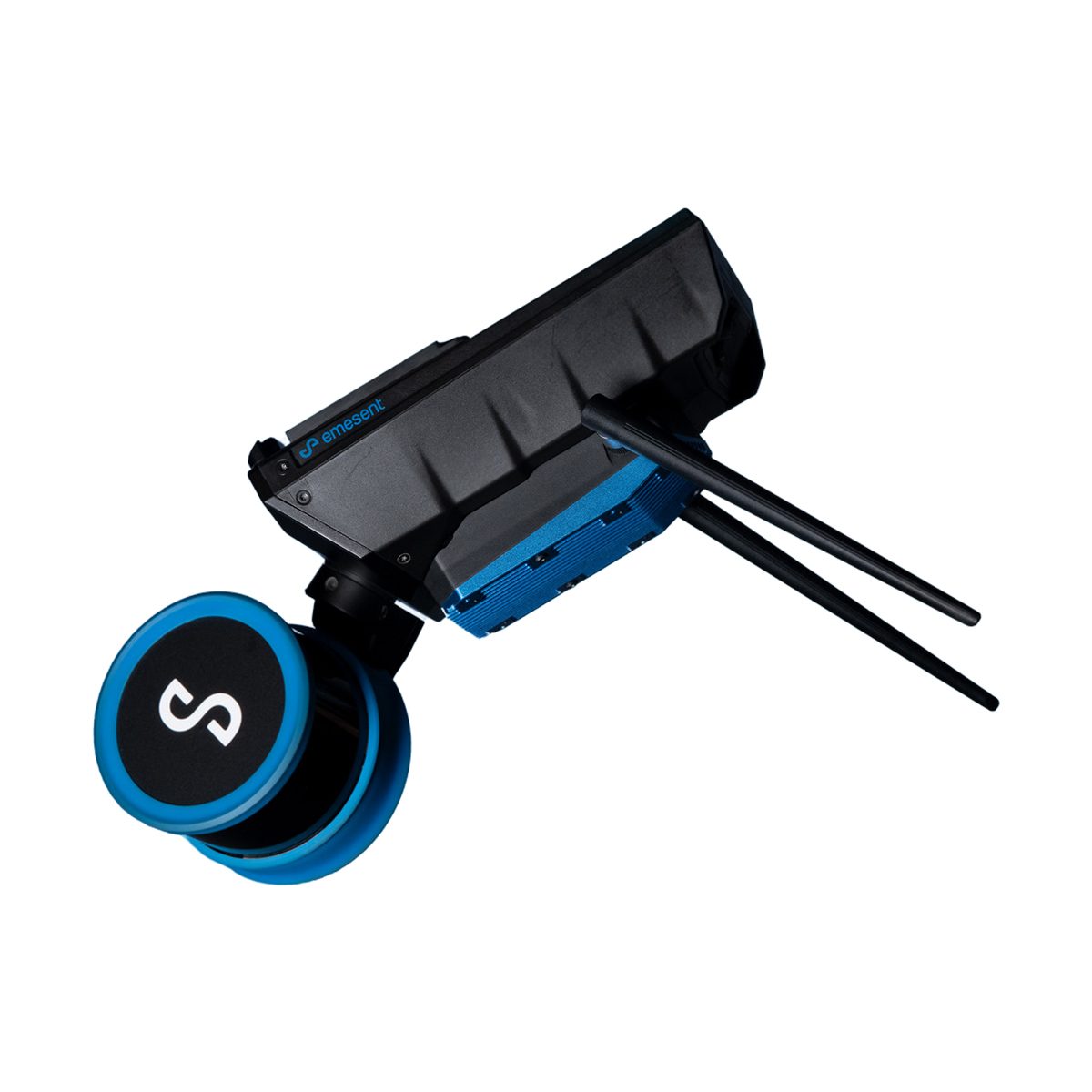
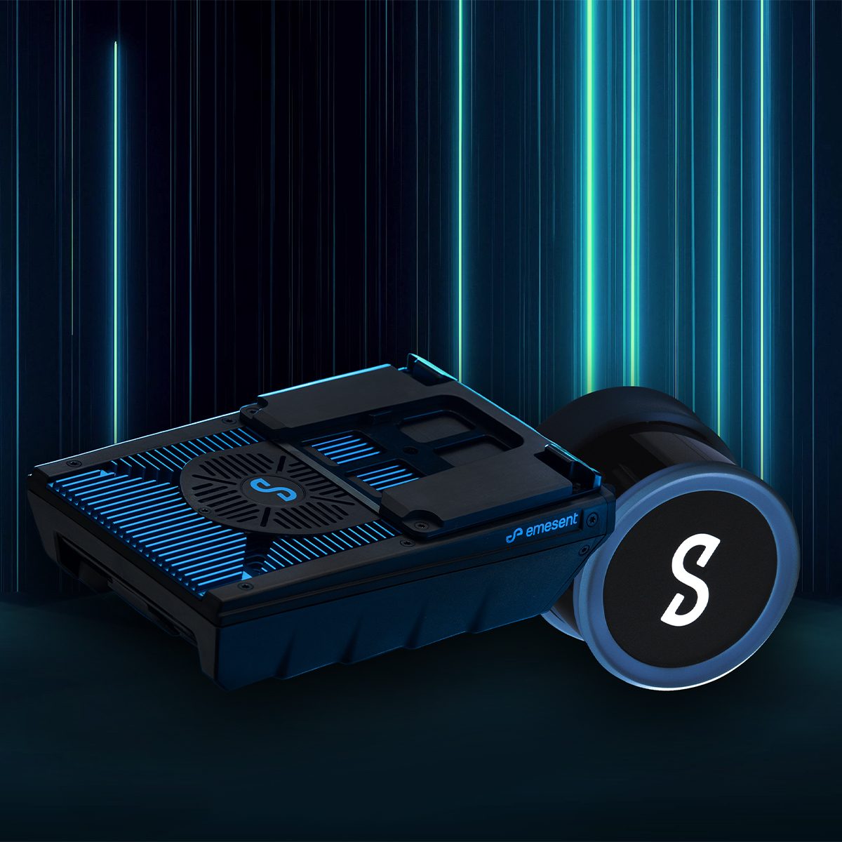


Emesent E00-HSTX-KIT Hovermap ST-X Kit
Why choose Hovermap?
Fast Time to Insight
A LiDAR sensing range of up to 300 meters and triple returns capable of more than one million points per second allow you to capture detailed, accurate data over a greater area in less time – increasing efficiency.
Survey-grade Accuracy
The award-winning wildcat SLAM solution, automated ground control points and higher resolution LiDAR sensor provide a cleaner point cloud with sub-centimeter precision allowing you to obtain more accurate measurements and improved insights.
Uniquely Versatile
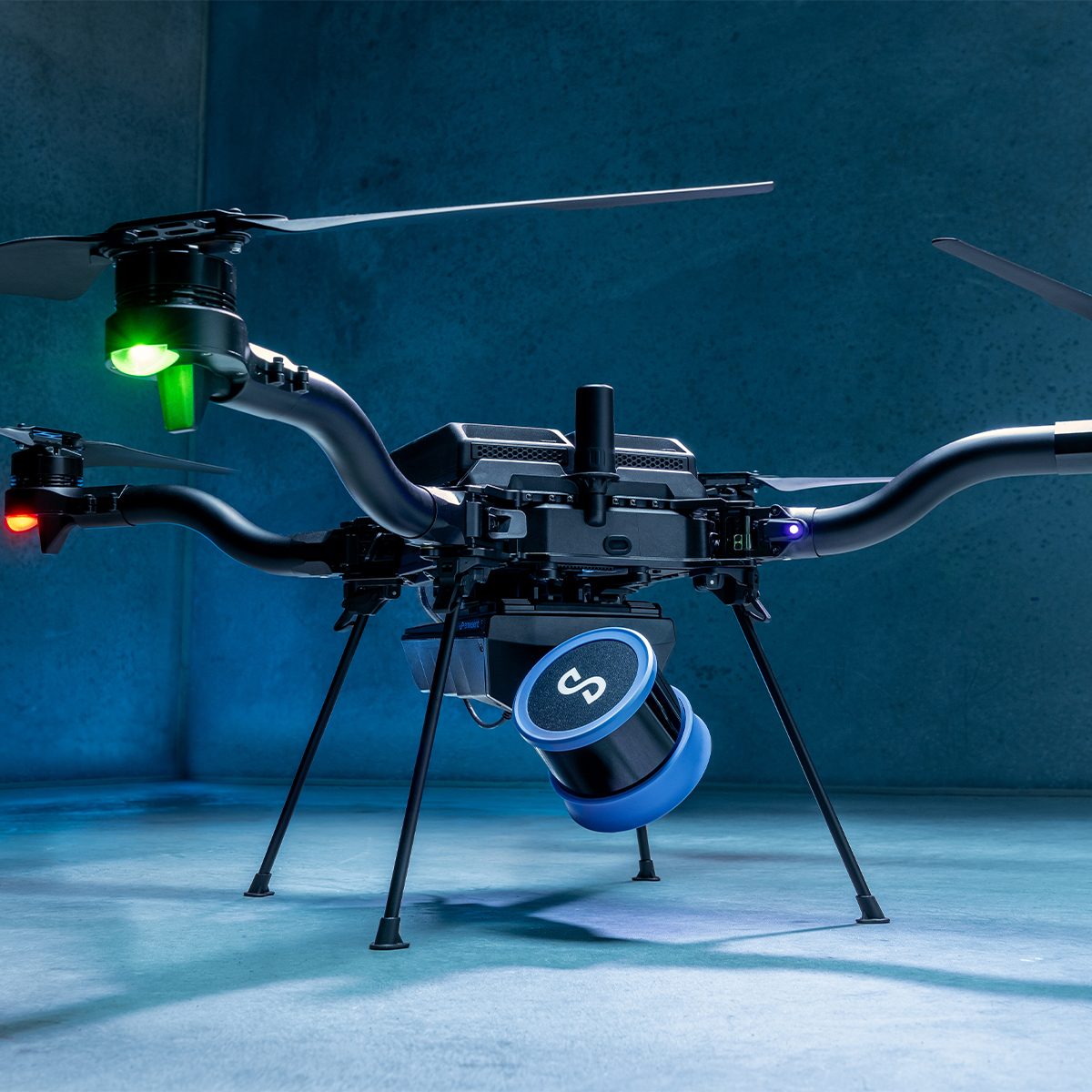
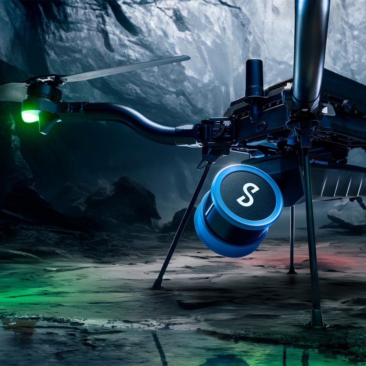
The plug-and-play design and quick-release mechanism allow easy switching between modes. Use Hovermap as a handheld scanner; attached to a drone, vehicle, or pole; lowered in a cage; or mounted to a backpack to easily collect data anywhere.
Superior Detail
Capture shadowless, detailed, high quality point clouds of an entire complex asset with high density data sets to reveal richer features. Add a level of reality capture with colorization.
Mapping Options for Every Scanning Need
Hovermap’s autonomy levels give you the versatility to best capture the environment you need and the confidence to leave the site knowing you’ve captured everything you need. In all modes, Hovermap streams a live point cloud to the Hovermap app, providing a real-time preview of the data as it is captured when in communication range.
Autonomous Waypoint Mode
Autonomous waypoint mode provides beyond line of sight flight through smart waypoints and guided exploration.
Simply tap on the map to set smart waypoints, and hovermap takes care of the rest, navigating to the waypoints, mapping the area, and keeping itself and the drone safe from obstacles.
Pilot Assist Mode
Pilot assist mode provides omnidirectional collision avoidance, line of sight gps-denied flight capability, and stability control, providing the confidence and stability for close, thorough inspections. It acts as a safety bubble for your drone, keeping the asset and your equipment safe.
This mode is available in the plus subscription.
Mapping Mode
Mapping mode offers fast, accurate, and high-resolution mobile scanning of environments where drone autonomy is unnecessary. Hovermap’s quick-release mechanism allows you to easily switch from a drone to handheld scanning or a backpack, vehicle, or protective cage for SLAM-based mobile mapping.
Leading LiDAR Mapping
Designed for Tough Missions
All Hovermaps in the ST product range are designed with the tough, lightweight, ip65 weather sealed design giving you the confidence to capture harsher areas. The award-winning Wildcat SLAM solution and Emesent autonomy algorithms ensure safety for the drone and asset, even in hazardous, GPS-denied environments.
Deployment Options to Suit your Needs
Hovermap’s unique versatility allows users to capture data from previously inaccessible areas, either from the air or on the ground. The plug-and-play design enables easy switching from drone-based use to handheld, backpack, vehicle or ground robot-mounted scanning.
Robust, Autonomous Capability
Autonomy modes designed to suit your needs with pilot assist with omnidirectional collision avoidance or beyond line-of-sight guided exploration.
Live Streamed Point Clouds
Hovermap streams the live point cloud to the Hovermap app, allowing a real-time preview of the data as it is captured.
Designed for Fleet Expansion
Accessories are compatible with both Hovermap ST and ST-X, meaning if you expand your Hovermap fleet, you can use the same accessories on different Hovermaps.
Automated Mission Control
Emesent Commander makes mapping, pilot assist and autonomous mission planning and control effortless. Designed with user-friendly workflow prompts and built-in fail-safes, the Commander app gives you responsive control, ease of navigation and access to Emesent’s market leading autonomous capabilities via a touchscreen interface.
Point Cloud Processing
Emesent Aura allows the processing and visualization of scans in one intuitive platform, streamlining the way Hovermap users process, view, and analyze point clouds for faster insights and improved decision-making
Hovermap ST-X Specifications:
Mapping Specifications:
LiDAR Range
0.50 to 300 m (1.6 to 984 ft)
Mapping Accuracy
± 15 mm (19/32 in) in general environments ± 10 mm (3/8 in) in typical indoor and underground environments ± 5 mm (7/32 in) isolated change detection capability
LiDAR Channels
32
LiDAR Data Acquisition Speed
Single Return Mode: up to 640,000 points/sec Multi Return Mode (3 return): up to 1,920,000 points/sec
Storage
512 Gigabytes – approximately 4 hours of sensor data
Physical Specifications:
Weight
1.57kg (3.4 lbs)
Benefits of ST-X
Mapping Specifications:
LiDAR Range
The extended range allows faster data capture and reduced time to map larger areas.
Mapping Accuracy
ST-X achieves a significant improvement in overall point accuracy – creating maps with more precisely defined features.
LiDAR Channels
Double the number of laser sensors creates higher density maps with a reduced scan time.
LiDAR Data Acquisition Speed
A triple return mode allows the detection beam to traverse several layers, revealing hidden details such as behind vegetation or below a forest canopy.
Physical Specifications:
Weight
The reduced weight improves ease-of-use.
Additional information
| Weight | 12 lbs |
|---|
Emesent Hovermap ST-X Brochure
Emesent Hovermap ST-X Spec Sheet
Emesent Hovermap ST-X White Paper
Emesent Hovermap ST-X Integration with Freefly Astro Flyer
Emesent Hovermap ST-X and Freefly Astro Flyer
Login to the Emesent client portal here.
Find out more about Emesent products and solutions here.
Related products
-
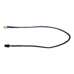
Gremsy T3V3 Power Cable for DJI M600
Call for Price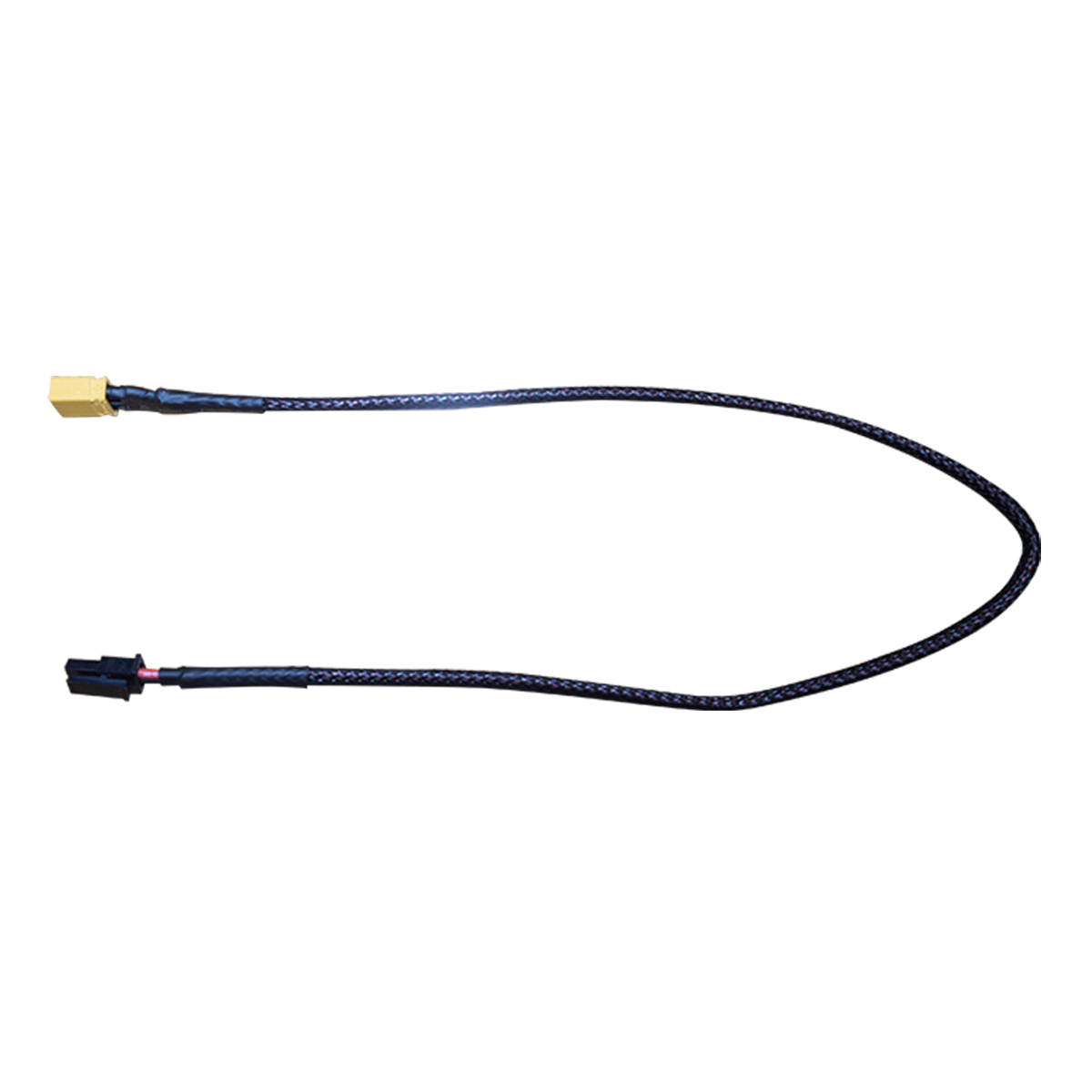
Gremsy T3V3 Power Cable for DJI M600
Call for PriceQuick View -

Gremsy 90° Micro HDMI to HDMI HD Shielded Cable
Call for Price
Gremsy 90° Micro HDMI to HDMI HD Shielded Cable
Call for PriceQuick View -

Autel Robotics EVO II Propeller Guards
Call for Price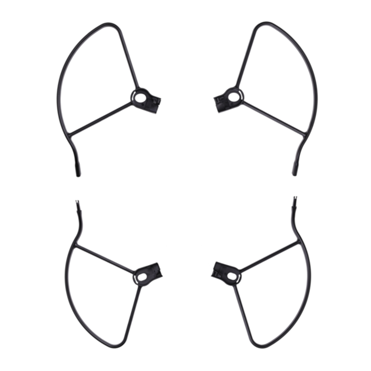

Autel Robotics EVO II Propeller Guards
Call for PriceQuick View -

Gremsy AEVO
Call for Price


Gremsy AEVO
Call for PriceQuick View