")
YellowScan Navigator YSNVGTRKIT
Call for Price
YellowScan Navigator
Depths to heights: operating bathymetric LiDAR with one button.
The YellowScan bathymetric LiDAR is an innovative solution for exploring underwater and ground topography with a single-button operation. Its lightweight design allows for versatile platform selection without compromising water penetration.
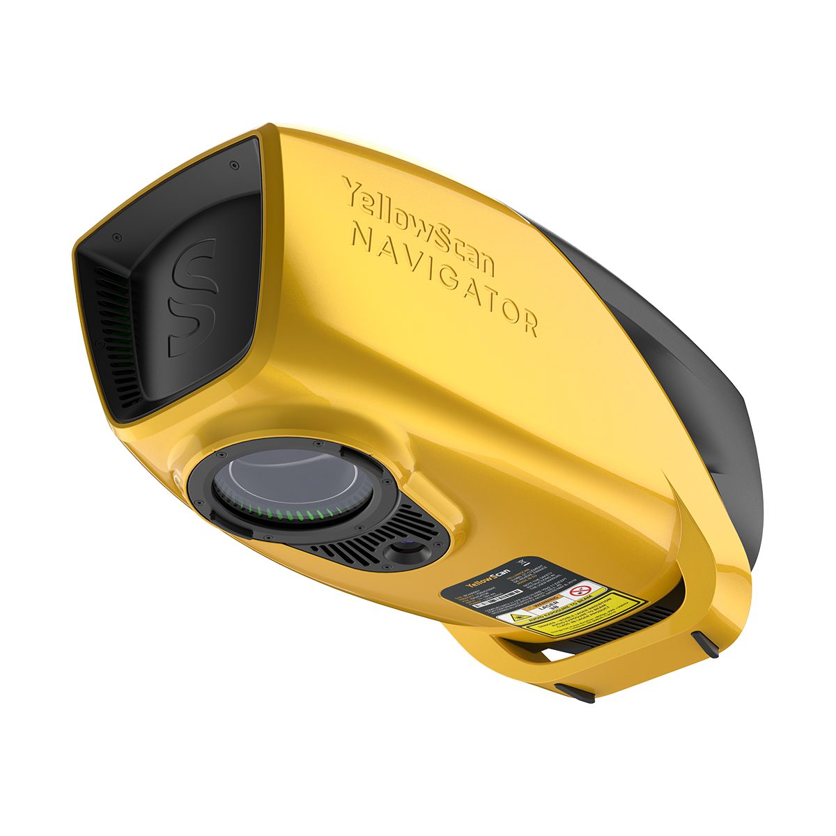
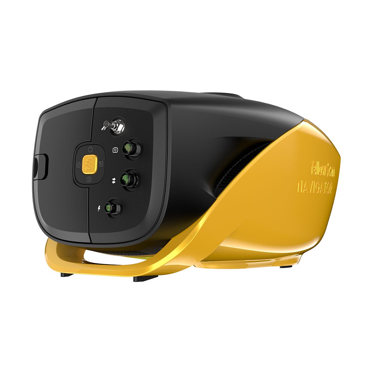
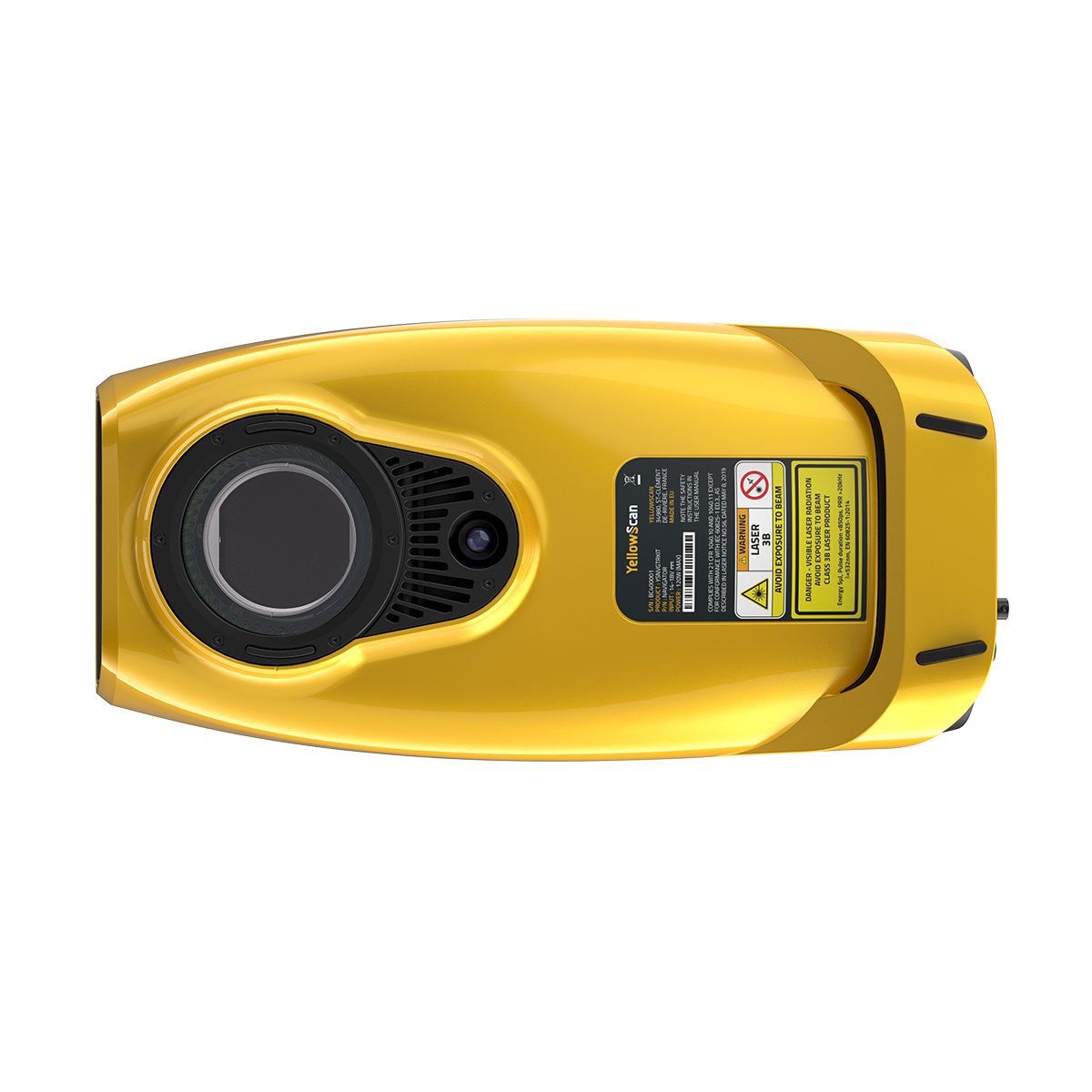
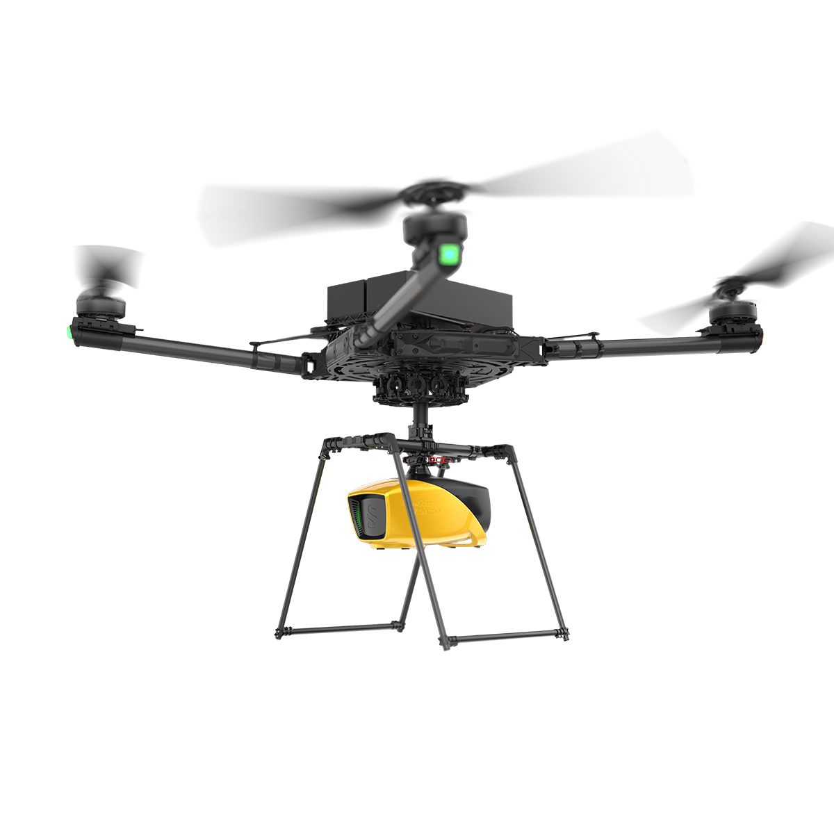
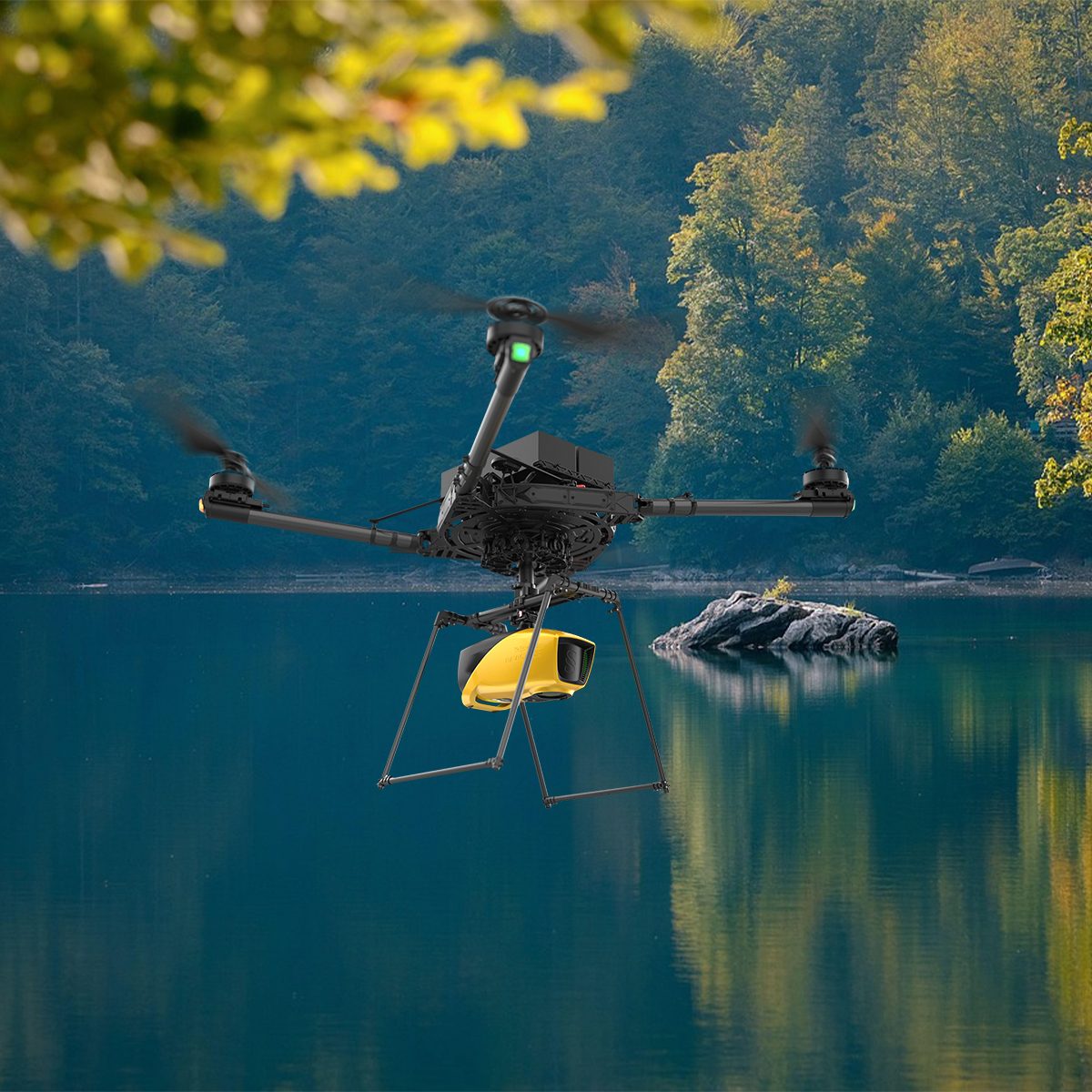


The YellowScan Navigator is an innovative bathymetric LiDAR solution for mapping underwater and ground topography with a single-button operation. Its compact design allows for operating on various UAV platforms without compromising water penetration.
Technologies Inside:
- YellowScan
SBG Systems
Key Differentiators:
- Topographic & Bathymetric Mapping
- Easy to Use and Process
UAV Integrations:
- Single-rotor UAV
- Multi-rotor UAV
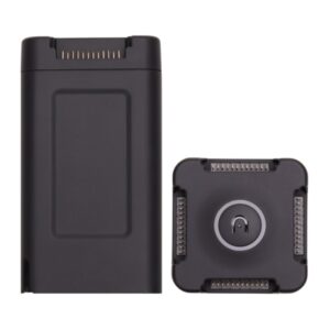
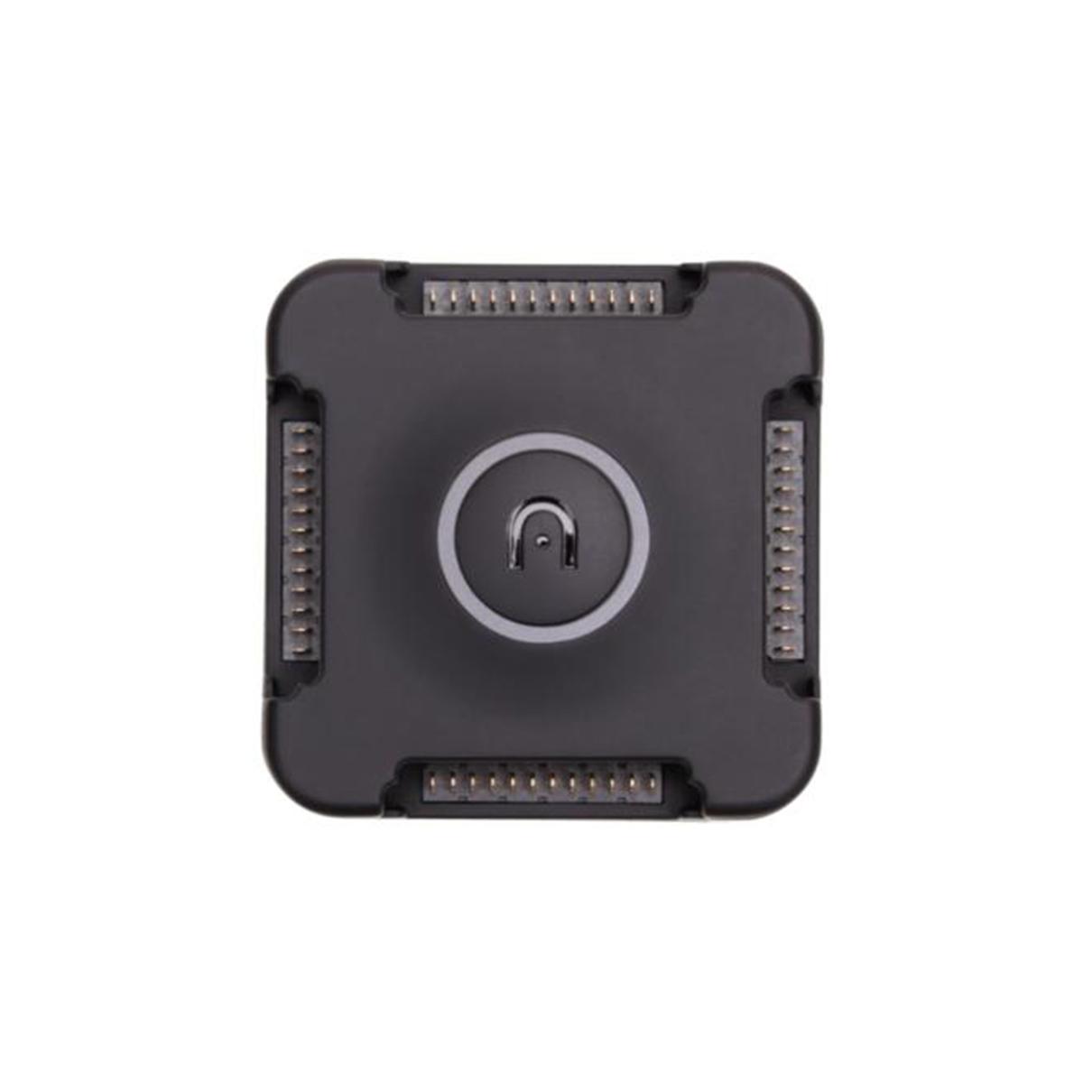
Package Includes:
- YellowScan Navigator
- Integrated Gremsy Mount
- Rugged Pelicase
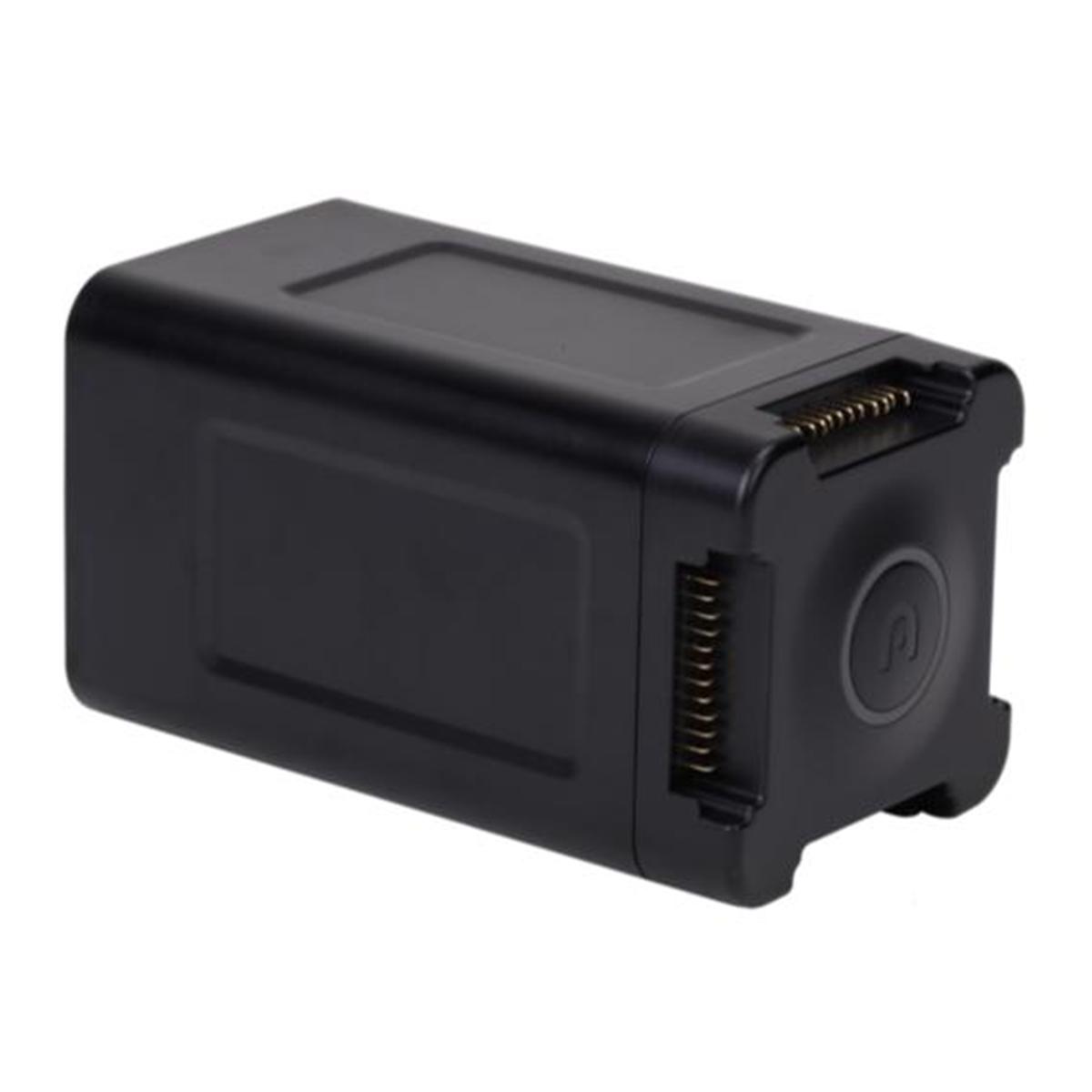
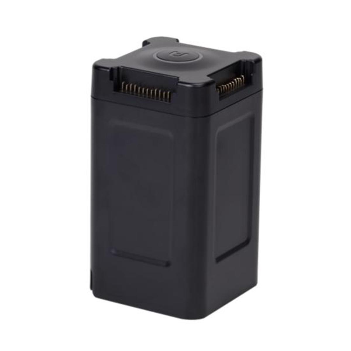
- 2 Batteries
- UAV GNSS Antenna and Cable
- 2 USB Flash Drives
- Documentation
- Laser Safety Goggles
Services:
- 1-year Warranty & Unlimited Technical Support
- In-person or Online Training
- Boresight Calibration Certificate
Software:
- SBG Qinertia to post-process GNSS and inertial data for highest accuracy.
- CloudStation Essential
Visualize, inspect, colorize from orthophotos, and export your data.
Related products
-

Gremsy AEVO
Call for Price


Gremsy AEVO
Call for PriceQuick View -
Autel Robotics EVO II Battery Charging Hub
Call for Price
Autel Robotics EVO II Battery Charging Hub
Call for PriceQuick View -

Gremsy S1 (V3)
Call for Price


Gremsy S1 (V3)
Call for PriceQuick View -

Autel Robotics EVO II Low-noise Propellers
Call for Price


Autel Robotics EVO II Low-noise Propellers
Call for PriceQuick View